
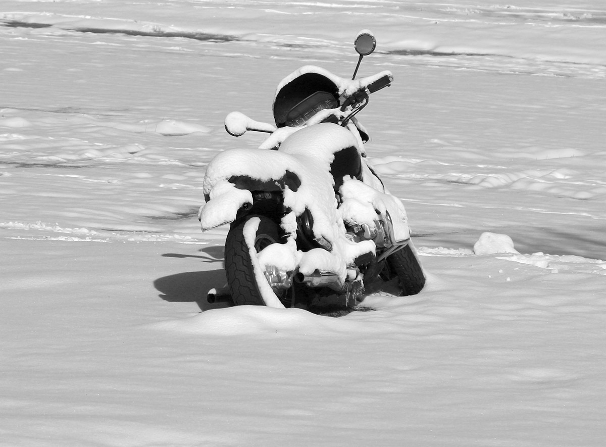
This latest winter storm sort of snuck up on us. Our local forecast at home did indicate the chance for a touch of snow during the overnight, but I was well into the wee hours before we’d expected to see anything. Yesterday afternoon though, it was pouring rain down here in the Winooski Valley, and with temperatures in the 30s F, it seemed suspiciously cool. Around 5:00 P.M. I decided to check on a couple of the local webcams at the resorts, and was surprised to see that it wasn’t just snowing at elevation, but in line with the pouring rain down in the valleys, intense snowfall was occurring in the mountains. It looked like the snow line was somewhere around 2,000’.
Within an hour the snow line had dropped all the way down to our house at 500’. It went from pouring rain to pounding flakes very quickly, and it was obvious that the intensity of the precipitation hadn’t changed; there was still a lot of liquid falling from the sky. When stepping out on the back deck into the snowfall to get accumulation measurements, I was immediately soaked if I didn’t put on some sort of waterproof coat. Over the next couple of hours, I saw a number of reports and images of lower elevations snows from around the area in the New England forum at the American Weather discussion board, including Jericho, Barre, Stowe, and Hyde Park, which had already picked up 3.5 inches. Up near the top of Lincoln Peak at Sugarbush, their snow cam showed that they’d already picked up 8 inches. Even Powderfreak seemed to be caught off guard by the impressive accumulations.
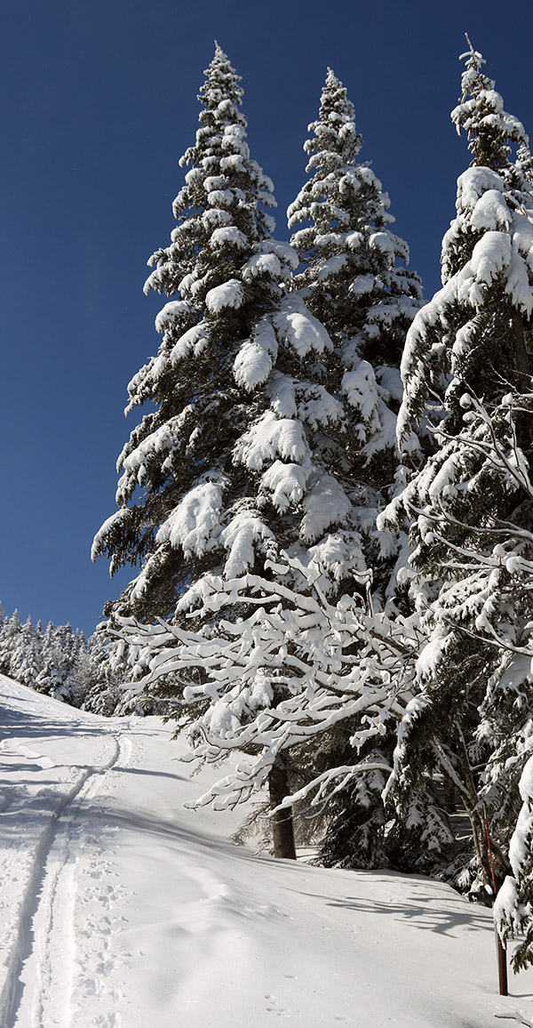
“I’d say fat skis were the way to go today, and indeed turns up high were bottomless and smooth, with little need to worry about hitting the base.”
By 8:00 P.M. we’d picked up about an inch of snow at the house, and with continued snowfall in the valleys, it seemed very likely that the mountains were going to have a solid new accumulation by the time the night was over.
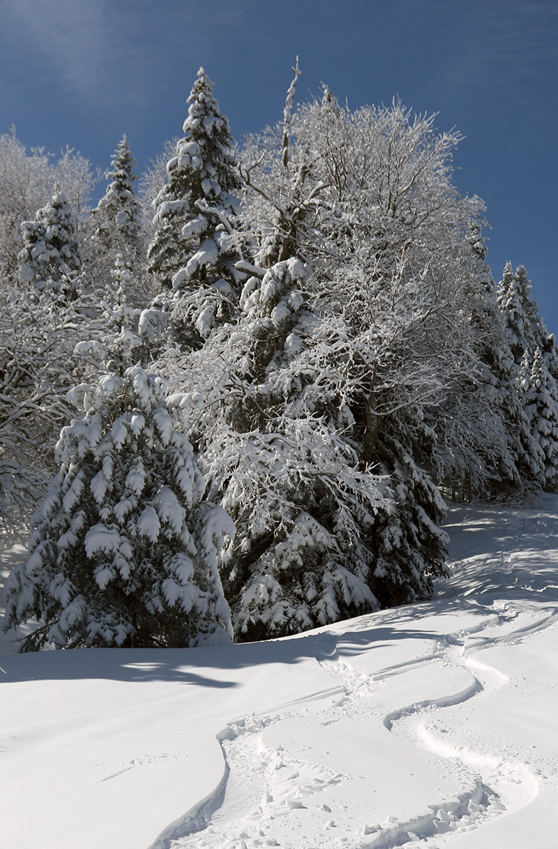
In the Bolton Valley area this morning, there were accumulations all the way down to the base of the access road at 340’, and the accumulations slowly increased as one headed up to the resort. The snow depths started to increase more rapidly around the elevation of the resort Village, with 3 to 4 inches there, and those totals doubled by the 2,500’ elevation. Essentially all the snow above 1,500’ was winter-dry, and temperatures were still in the 20s F this morning from probably 1,500’ on up. I’ll have to look back at all the April and May storms we’ve had this season, but this was some of the driest/wintriest snow I can recall in the past few storms.
I’ve got the elevation profile for new snow accumulations below, and as you can see, the largest increases in depths indeed came from a bit below 2,000’ up to about the 2,500’ range before the rate of increase tapered down:
340’: 0.5”
1,000’: 1”
1,500’: 2”
2,000’: 3-4”
2,500’: 7-8”
2,800’: 8-9”
3,100’: 9-10”
The storm was probably mostly snow above 2,500’, and with 1.21” of L.E. down here at the house, it was a decent resurfacing above 2,000’, and a very solid, “no worries” type of resurfacing above 2,500’. I’d say fat skis were the way to go today, and indeed turns up high were bottomless and smooth, with little need to worry about hitting the base. Indeed, midwinter-style powder is always appreciated in May.


