
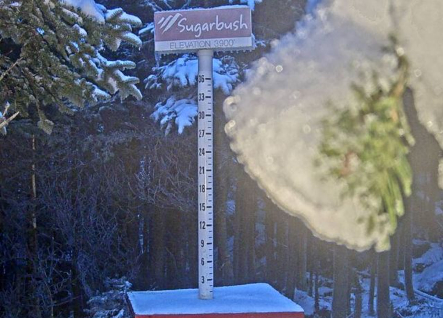
Exactly a week ago, we had our first round of mountain snows for the season here in the Green Mountains, and the latest system moving into the area brought the next round last night into today. Morning reports came in to the Northern New England thread at the American Weather Forum, with flakes seen down to 1,500’ in Jackson, NH. Powderfreak reported that the ski trails at Stowe were all white above ~2,400’. It appears that much of Northern New England has been seeing snow today above ~2,500’, but the persistent clouds and precipitation haven’t quite given us the options for viewing the snow that we had with the previous system. I was able to check out the Sugarbush upper mountain camera this afternoon and catch a view of the snow and drooping evergreen boughs from frozen accumulation, but that’s as much as I’ve been able to see from the valley.
Based on Powderfreak’s comments of seeing some frozen precipitation last night at his place in the Stowe Village area, it sounds like we might have gotten our first frozen of the season down at our house in Waterbury as well. I hadn’t seen anything before heading off to bed, and unfortunately, any frozen precipitation would likely have fallen in the wee hours of the morning as Powderfreak noted.