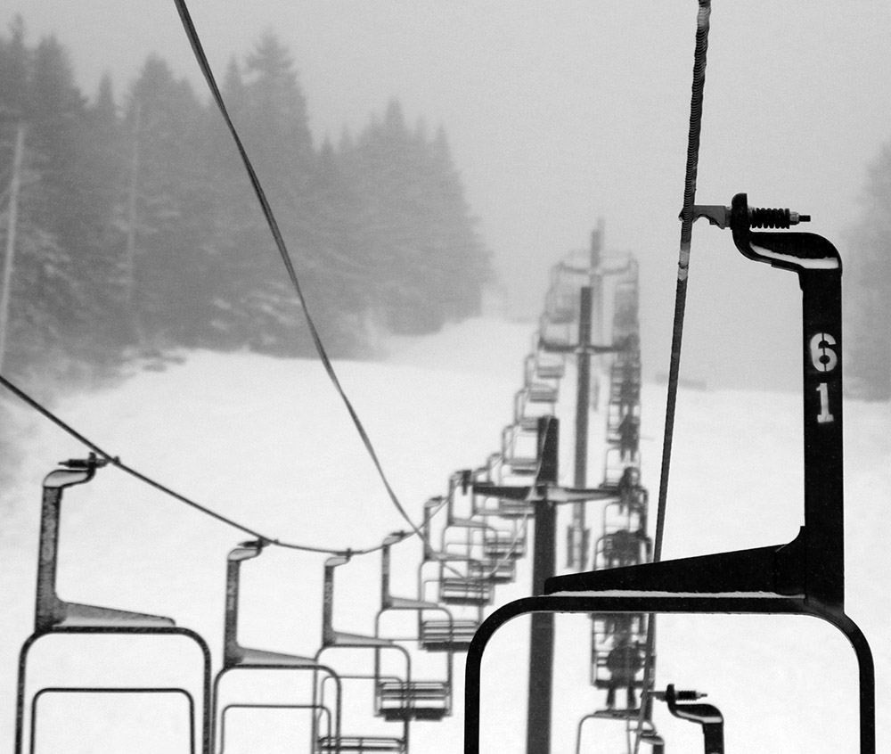
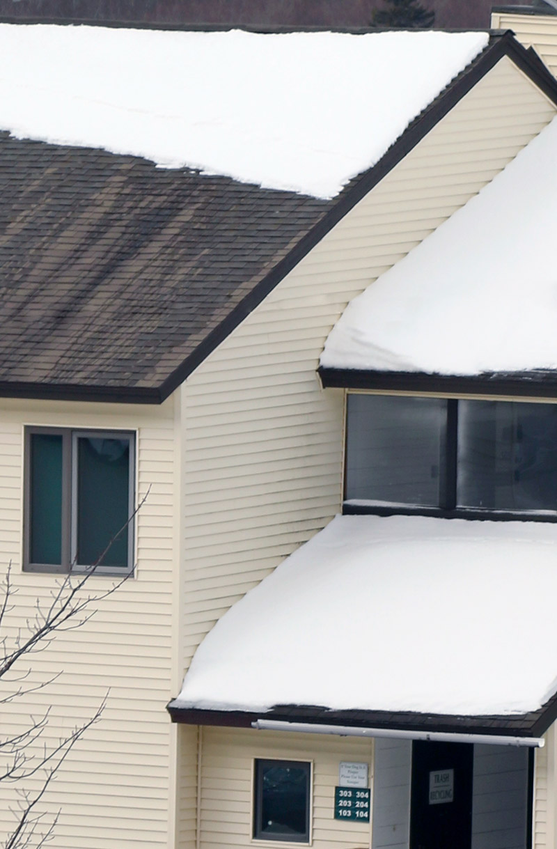
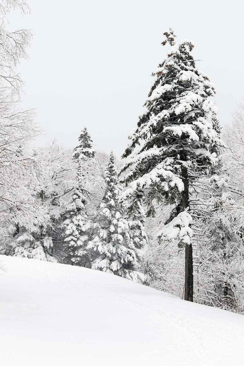
There was quite the wintry vibe at Bolton Valley this morning as snow continued from Winter Storm John.
With the influx of snow that the area has seen from Winter Storm John since yesterday, the snow conditions improved dramatically this weekend. Based on the liquid equivalent we picked up here at the house, I bet the local mountains picked up something in the range of ¾” of liquid, which is a game-changer relative to where things were before.
On Saturday morning I decided to go for my first lift-served turns of the season at Bolton Valley. Only the main mountain is open at this point, since coverage is still too thin down at the lower elevations of Timberline. It was snowing steadily with some big flakes when I arrived at the mountain, and I found about 4 to 5 inches of new accumulation in the Village areas at 2,000’. The snowfall tapered off to light snow during the midmorning period, but really picked up to some heavy inch/hr snowfall when I was leaving a bit before noon. That was when the back side of the storm was coming through, and the wind jumped up a bit there, but prior to that the weather was fantastic with temperatures just a bit below freezing and no wind. There was obviously some surface snow in place from previous systems because I was generally finding powder depths of 6-9” at the 2,400’ level. Skiing was good, with enough snow to resurface low to moderate angle slopes, and listening to skiers and riders on that terrain you’d hear absolutely nothing. On higher angle slopes you could still hear contact with the old base snow, so it was obvious that ¾” of liquid can only do so much with holiday levels of skier traffic.
The conditions had seen such an uptick relative to where they’ve been the past week that I had to head back up for a tour on Wilderness in the afternoon!
Another shot of the snow falling from Winter Storm John this morning when I was up in the Village area at Bolton Valley.
Erica and I headed up to Bolton Valley this morning to potentially get in a bit more powder skiing ahead of today’s warming temperatures. The real warmth wasn’t expected to come into the area until later in the day today, but it was already above freezing at the base elevations when we began our tour around 9:00 A.M. or so.
The Wilderness skin track was in great shape, but the snow on Lower Turnpike definitely looked like it had been worked in a bit more compared to what I saw on yesterday’s tour. There were more people out touring in the area today, and we figured it was because so many more people had time off for Christmas Eve.
My initial plan was to tour up to near 3,000’ and get into some powder like yesterday, but E was looking for a shorter tour than that, and once we discovered that the powder was already getting somewhat wet, we just toured up to below the Cougar headwall as our apex.
Turns on the packed areas of Lower Turnpike were quite good, with just a touch of stickiness in spots. I occasionally checked out the powder along the sides of the trail, but it was starting to get wet enough that the packed areas were generally the better experience. Had I known that the rising temperatures had already affected the powder, I probably would have just brought midfats instead of my fat Tele skis.
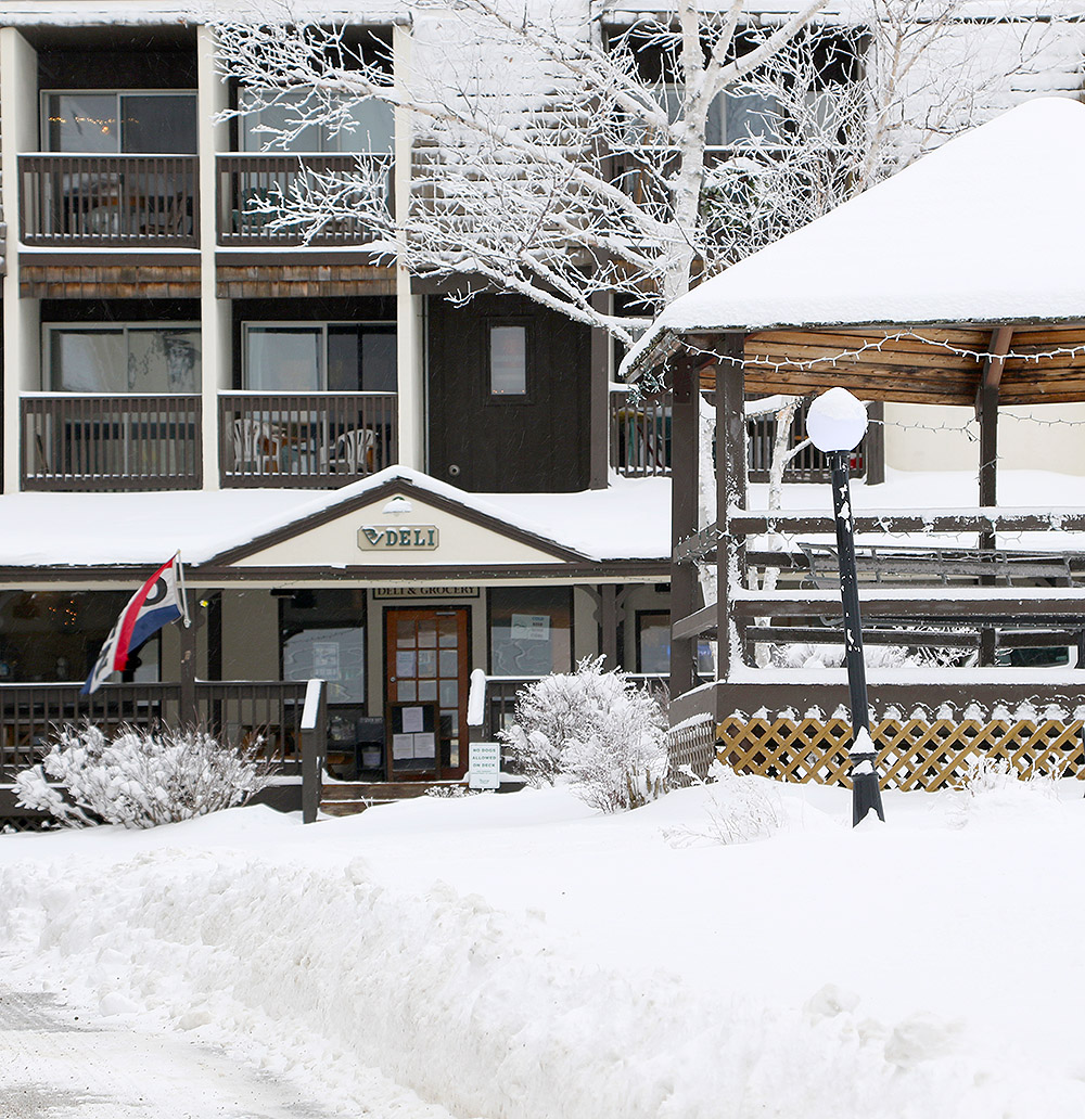
We headed back to the car through the Village Circle, and were reminded again about the Mad Taco outpost right in the Village. We’re definitely going to have to take advantage of the opportunity to get some of their food from the Bolton site – that’s the closest Mad Taco branch for us.
Our area is going to be in the warm sector for much of the next storm coming into the area today, but we’ve got more chances for snow during the holiday week.
This morning’s ski tour revealed some excellent ski conditions with up to 8-10″ of powder on the upper mountain in undisturbed areas.
Today turned out to be sort of a bit of a midwinter gem, which is pretty nice considering winter just started. I hadn’t expected it to be quite so stunning, but with the recent snows, it was clearly a good day to head up to Bolton for a tour and check out how the powder had settled in.
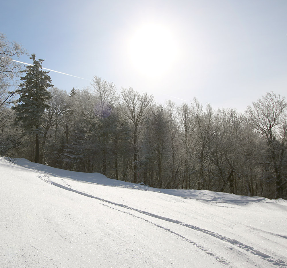
In the morning, before any clouds rolled it, the sun and sky were simply brilliant. And that’s the first thing I noticed when I got out of the car at the mountain. And I couldn’t believe how hot the sun felt. We’re up near 45 N latitude, and this time of year is just about as low a sun angle as we get, so all I can think is that I’m just not used to actually having the sun shining on my face. I had a 23% VLT lens in my goggles, figuring that sure, it was sunny, but it’s late December way up here in the north. Well, I could have easily gone with something sub-10% VLT; it was that bright.
“The powder definitely exceeded expectations today – I found settled depths of roughly 5-7” above the subsurface at 2,000’, and many spots with 8-10” up near 3,000’.”
The powder definitely exceeded expectations today – I found settled depths of roughly 5-7” above the subsurface at 2,000’, and many spots with 8-10” up near 3,000’. I initially couldn’t figure out where all of it had come from, but then I realized that since the 4-5” from Winter Storm Gail, it’s just continued to snow with these past couple of smaller systems.
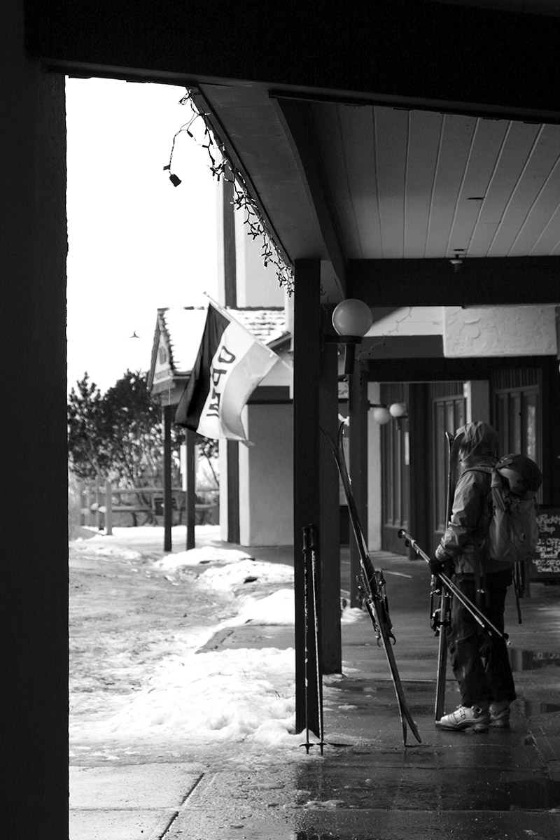
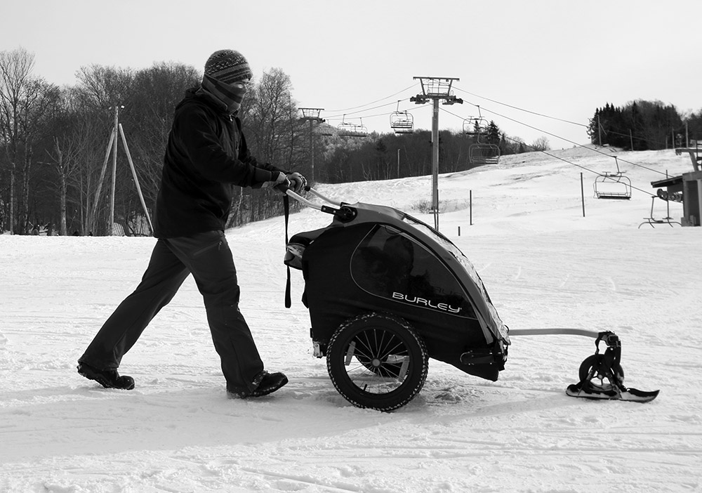
Out for a snow stroll around the base area
The Wilderness skin track was in excellent shape, and it almost looked like the resort had groomed the adjoining Turnpike trail because it was so smoothly packed. It’s possible that it was just very nicely packed by skier traffic, but for folks looking for groomed turns in the Wilderness area, it’s good to go.
Off the main route though, there was tons of untracked powder available, and it was definitely right-side-up, midwinter quality stuff. That synoptic snow from Winter Storm Gail, topped off with the drier snow from these last couple of systems has really put together a quality surface. Low-angle stuff is good to go, and even moderate-angle slopes are nice if the snow is protected from the wind and there hasn’t been any skier traffic. Above those angles though, the snowpack is definitely not ready yet; the base is just not deep enough.
We can’t wait to try out the Mad Taco outpost that they’ve added to Bolton Valley this season!
It’s going to be interesting to see how things play out for this next week. This next storm looks to consolidate the base, and there are a couple of potential systems behind it that could make some nice conditions atop that if they came to fruition on the snowy side of things.
Up here in Northern Vermont, I hadn’t been expecting to ski this storm at all, but as the models revealed a more northward trend in guidance, it looked like we were going to get something out of it. Indeed, by midday I’d recorded over four inches of snow, and nearly half an inch of liquid equivalent from it. Snowfall with a half inch of liquid definitely has enough substance to get some floatation above the base, so I figured it was worth a quick tour to see how conditions were faring up at Bolton. They’ve got the extra elevation to potentially enhance the snowfall even more, but they’re also a few miles farther to the northwest of our site, and the farther north and west one went with this system the more the accumulations quickly drop off. Once up at the mountain, accumulations I found at 2,000’ in the Village were 4-5”, so roughly the same as what we picked up here at the house.
That was more than enough to make the powder skiing quite nice on low angle terrain though – on my 115 mm fat skis the turns were smooth and bottomless with the snow that had just fallen. We still haven’t had a big, 1”+ liquid equivalent storm affect the Northern Greens yet this season, so base snow is still pretty meager. There were a few inches of base snow left at 2,000’, with some variability and patchiness, but it’s still probably too inconsistent for steeper pitches or areas down around 1,500’. We’ve got a couple smaller round of snow in the forecast over the next couple of days though, so those should help bolster that overall snow in the higher elevations. Temperatures are expected to be single digits and even below zero F in the coming days, so snowmaking should be taking off as well to enhance the manmade base in areas of the resort.
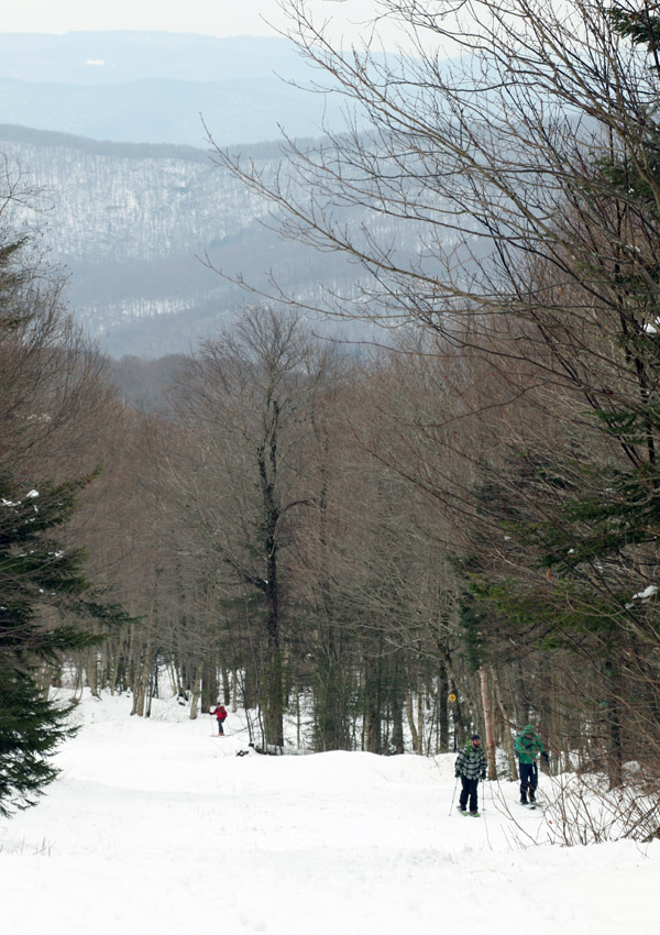
A few folks on the Turnpike skin track today as we were out enjoying the pleasant ski conditions at Wilderness
The midweek system that brought nearly a foot of snow to the mountains had produced some excellent turns on Thursday, so I decided to head back up to the mountain today with E for a quick tour in the Wilderness area. Warmer weather is expected to move into the area over the next couple of days, so this morning seemed like the best time to get in on the remaining powder before it consolidated too much.
Being a weekend, there were a good number of people out on the hill, and we saw several groups using the Wilderness skin track and enjoying the nice weather. We toured up to around the Cougar area, and enjoyed a nice descent on Lower Turnpike. Much of the trail was skier-packed snow after a couple days of ski traffic, but it was a really nice packed surface with soft snow and temperatures in the lower 30s F. There was even powder remaining around on the sides of the trail that I was able to hop into for some floaty turns. The power was getting a little thick with warming temperatures, but it was definitely serviceable. There were certainly a few thin spots here and there, and one had to pick their spots for traversing the water bars, but obstacles were minimal enough that avoiding them could easily be worked into the flow of your turns for an enjoyable down mountain ride.
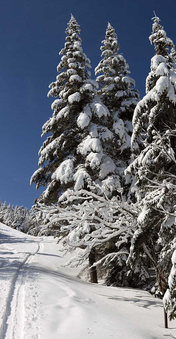
One of the beautiful scenes from Bolton Valley this morning, showing a few old ski tracks on Lower Turnpike
Yesterday, an upper-level disturbance/Alberta Clipper-style system began to affect our area, and as of this morning, Bolton Valley was reporting 4-8” of new snow in the past 24 hours, and 10” in the last 48 hours. Although we haven’t had too much base snow yet this season, those accumulations, as well as the view on the Bolton Valley Main Base Webcam, suggested that there was enough snow out there for a tour.
Temperatures up in the Bolton Valley Village were in the upper 20s F, and I generally found 7-10” inches of snow from the Village elevations upward. There’s decent substance to the snow (i.e. it’s not just fluff), but as expected, there’s really not too much base below that snow from what I saw. I just don’t think there was any dense snow, or rain-affected snow that had a chance to consolidate below these most recent accumulations. The snow quality is good though; the snowpack I encountered was right-side up with some medium weight density snow below fluffier powder on top.
Roughly 2,700’ was as high as my tour took me today, so I can’t provide observations above that level, but snow depths probably would have increased a bit more with elevation.
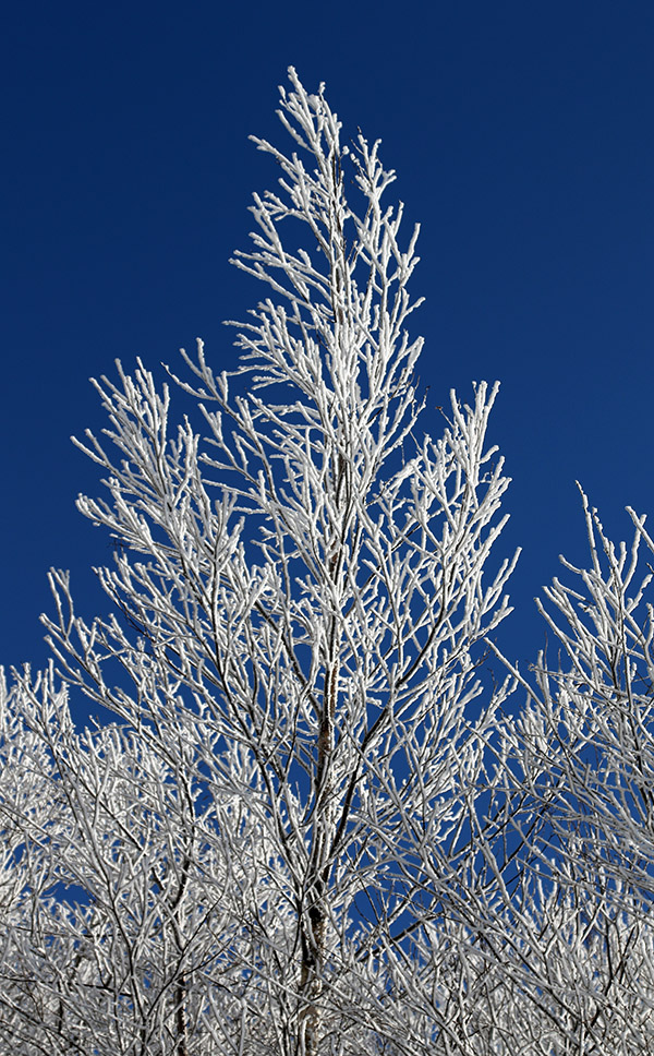
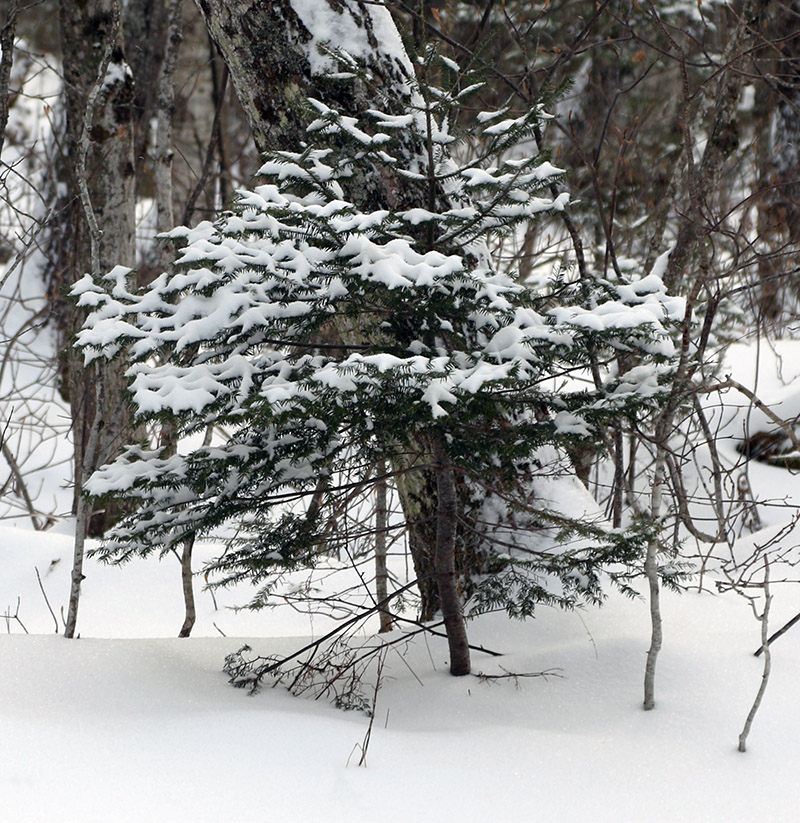
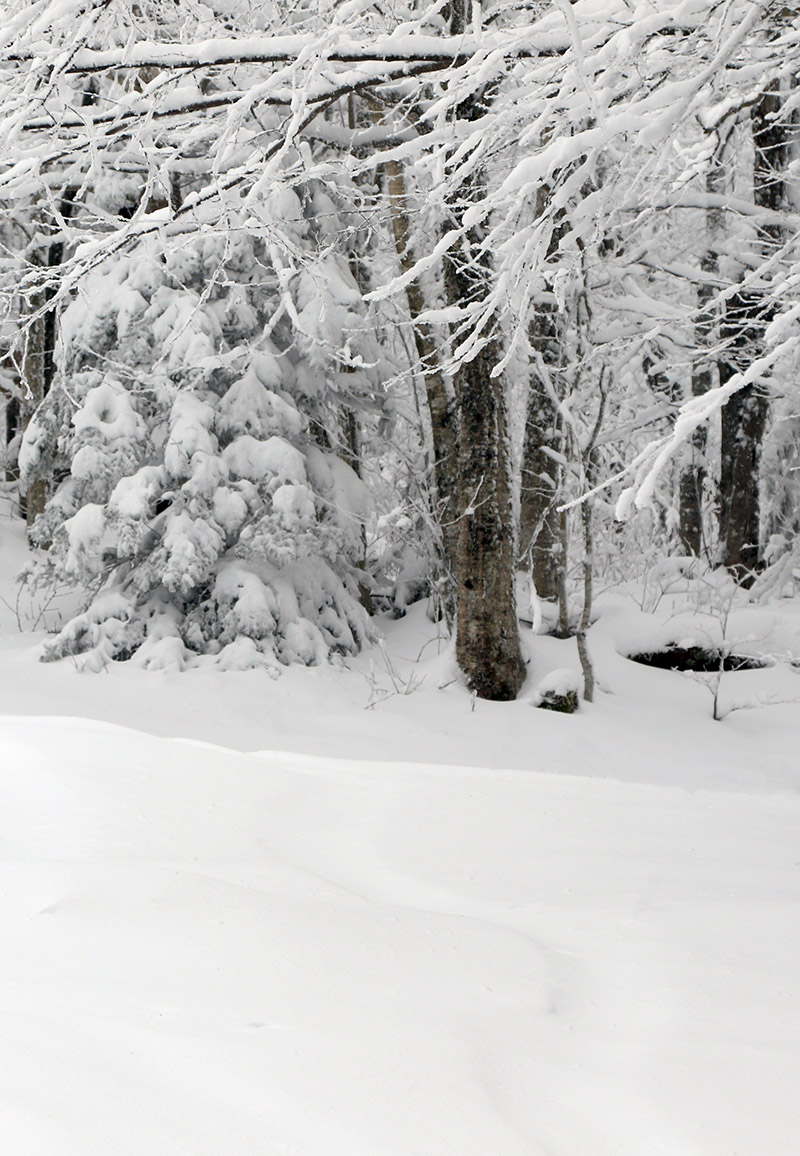
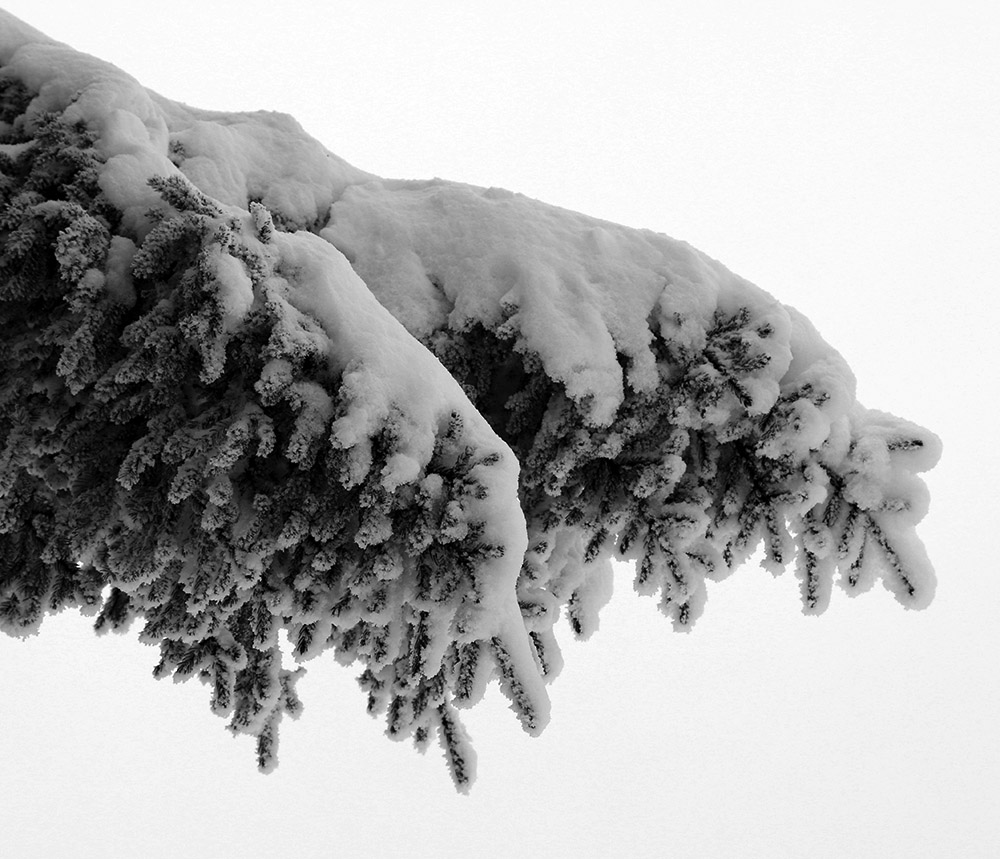
Some of the recent snow on a spruce bough
I’m surprised to see a depth of only 8” at the Mt. Mansfield Stake at 3,700’ as of the most recent report, but I’m not sure when that depth was last updated. Based on the amount of liquid equivalent that seemed to be in the snow, and the sub-freezing temperatures up there, this would likely be the start of the winter snowpack unless we get a really warm/wet, long-duration event. Consolidating the snow that’s there right now and/or adding some water to it would certainly help form a base. We certainly want to get in a decent synoptic winter storm to substantiate the base, but the mountains have got at least a minimal start with this system. I’m not sure if the snow we have in the valleys around here is quite enough to mark the start the season’s snowpack, but it’s possible. We’ll see what the next couple of weeks bring as we head into the busy holiday season.
The snow tapered off in the afternoon, and then in the evening, the second system came into the area. That storm delivered another several inches overnight, and in the morning, I head up to Bolton for a ski tour.
In terms of the ski conditions it was certainly a fairly typical early season affair, and I’d say waiting for that second storm to put down the extra snow was the way to go. I opted to tour up at the main base, and there were clearly at least a couple more inches of settled depth up there (~2,000’) vs. what I found at the Timberline Base (~1,500’).
I could tell from the get go as I was ascending the Lower turnpike skin track and watching other skiers descend there, that the density of the snow was going to call for more moderate angle terrain vs. low angle terrain. The snow was fairly medium weight powder, which was of course good with respect to providing some base for skiing. There was obviously no existing snowpack below these storms, so if these recent snow had been 2-4% H2O champagne, there would have been a lot of dicey contact with the ground. But, this medium weight snow was dense enough that there was just too much resistance for low angle terrain – skiers and riders had to straight line their way down and/or use old tracks to keep moving on those angles.
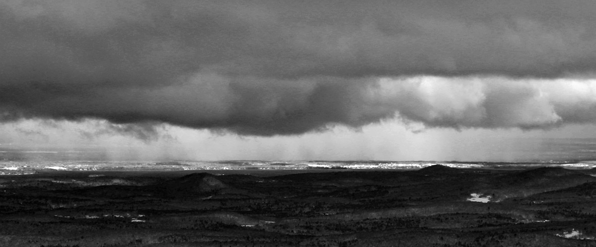
Viewing a snow squall in the Champlain Valley from the top of Bolton Valley.
Here’s the settled snow depth profile I observed during my tour:
340’: 4”
1,000’: 4-6”
1,500’: 6-8”
2,000’: 8-10”
2,500’: 10-12”
3,000’: 12”+
Terrain in the medium to low-angle range was required for solid turns, and that meant that it was a balancing act between choosing terrain that had enough pitch for turns, but not too much pitch that you were going to be outskiing the available snow depth. There was also the factor of finding relatively protected terrain – that first storm especially, had some ridiculous winds, and scouring of the exposed slopes was rampant.
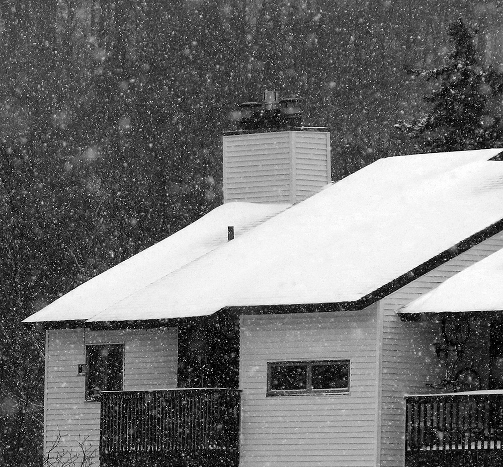
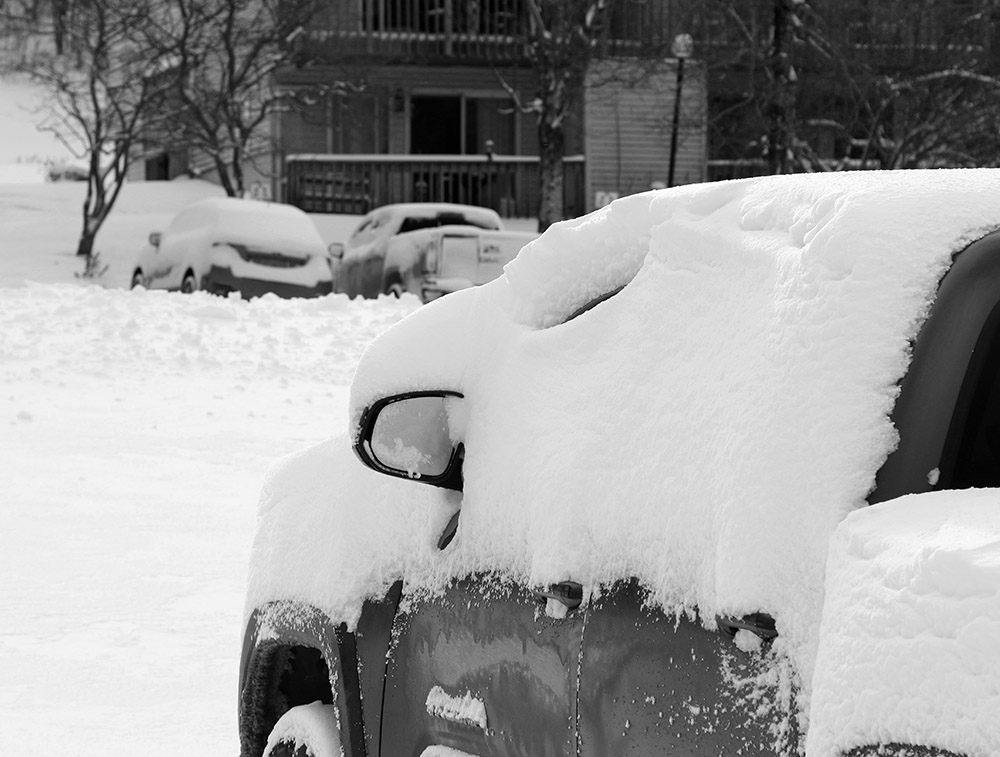
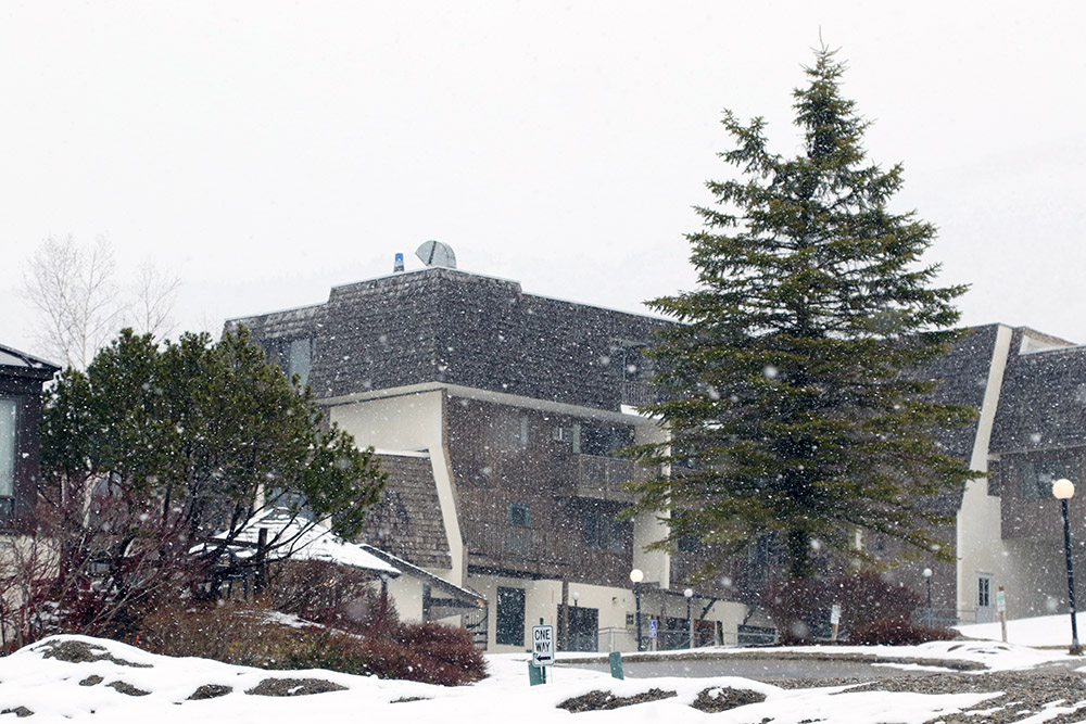
Down in the Bolton Valley Village today
So, good knowledge of the local terrain was important, but once you found the appropriate setup there were some nice midwinter powder turns to be had. There was as always that exercise of not going too steep, aggressive, or rocky to outperform the available snow, so of course having knowledge of those grassier options was important in providing the best ski experience.
It was a solid first day out at the mountain, and it looks like we’ve got some warmth coming in the next week or so before we have any additional chances for snow.
Close to a foot of fresh powder fell in the higher elevations around Northern Vermont thanks to this latest mid-May snowstorm.
This latest winter storm sort of snuck up on us. Our local forecast at home did indicate the chance for a touch of snow during the overnight, but I was well into the wee hours before we’d expected to see anything. Yesterday afternoon though, it was pouring rain down here in the Winooski Valley, and with temperatures in the 30s F, it seemed suspiciously cool. Around 5:00 P.M. I decided to check on a couple of the local webcams at the resorts, and was surprised to see that it wasn’t just snowing at elevation, but in line with the pouring rain down in the valleys, intense snowfall was occurring in the mountains. It looked like the snow line was somewhere around 2,000’.
“I’d say fat skis were the way to go today, and indeed turns up high were bottomless and smooth, with little need to worry about hitting the base.”
By 8:00 P.M. we’d picked up about an inch of snow at the house, and with continued snowfall in the valleys, it seemed very likely that the mountains were going to have a solid new accumulation by the time the night was over.
In the Bolton Valley area this morning, there were accumulations all the way down to the base of the access road at 340’, and the accumulations slowly increased as one headed up to the resort. The snow depths started to increase more rapidly around the elevation of the resort Village, with 3 to 4 inches there, and those totals doubled by the 2,500’ elevation. Essentially all the snow above 1,500’ was winter-dry, and temperatures were still in the 20s F this morning from probably 1,500’ on up. I’ll have to look back at all the April and May storms we’ve had this season, but this was some of the driest/wintriest snow I can recall in the past few storms.
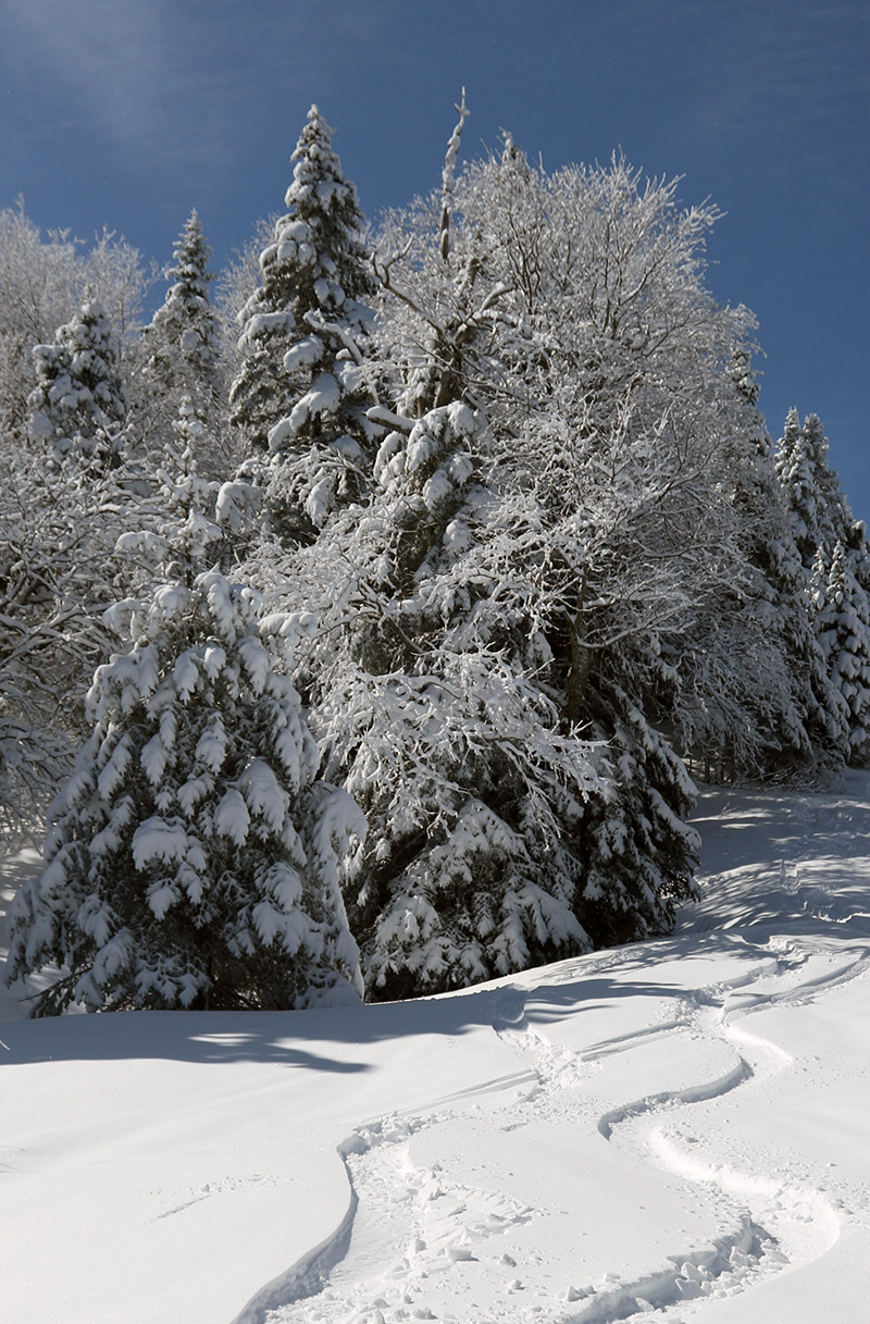
A skin track heads up along powder-covered evergreens at Bolton Valley after this recent May snowstorm.
I’ve got the elevation profile for new snow accumulations below, and as you can see, the largest increases in depths indeed came from a bit below 2,000’ up to about the 2,500’ range before the rate of increase tapered down:
The storm was probably mostly snow above 2,500’, and with 1.21” of L.E. down here at the house, it was a decent resurfacing above 2,000’, and a very solid, “no worries” type of resurfacing above 2,500’. I’d say fat skis were the way to go today, and indeed turns up high were bottomless and smooth, with little need to worry about hitting the base. Indeed, midwinter-style powder is always appreciated in May.
The sun came out and offered brilliant views of the fresh snow today at Bolton Valley.
It cooled back down overnight, and with continued snowfall, I suspect the snow levels dropped based on the fact that it was down into the 30s F at our place in the valley. I would have liked to see where accumulations stood as of this morning, but I had a car maintenance appointment, so I couldn’t stop by the Village until about midday. All that new snow at elevation made for some impressive views as I drove on I-89 returning from Burlington, and I stopped at Williston Southbound Information Center in I-89 to get a few images of the Green Mountains.
Looking out from I-89 in Williston today toward the snowy slopes of Bolton Valley
By the time I got up to Bolton today I’d say accumulations were generally back to what I reported yesterday, so accumulations were really only beginning to appear up near the Bolton Valley Village elevations. Temperatures had risen well above freezing by that point as well, so the snow was getting quite wet and dense. As the brilliant late-April sunshine appeared, it felt downright hot out as I was touring. The sun created fantastic views of the fresh snow gleaming white on all the trees, and the views had an almost midwinter feel. The temperatures and sunshine had the snow pretty quickly melting off the trees on aspects facing toward the sun, so the sound of dripping water and crashing piles of snow was the most prominent thing accompanying me on my tour.
With the new snow getting quite wet by the time I was out, the descent portion of the tour was pretty much just a free ride down with a few turns here and there, but there weren’t really notable powder turns like we had yesterday. It was of course still great to be out in the fresh snow getting exercise on such a beautiful day.
We’re almost on to May now, but it does sound like snow potential is going to stay around for a couple of weeks with the weather pattern, so we’ll see what Mother Nature brings us.
Our current late-season snowstorm has been bringing a lot of snow to the higher elevations, with already over a foot of fresh powder on the mountain as of this afternoon.
Although I haven’t seen it being an issue at Bolton Valley, we’ve purposefully stayed off the mountain for the past couple of weeks as we learned that the local ski resorts have asked people to refrain from touring because of potential crowding at base areas. As of today though, with the strong positive strides Vermont has made in limiting the spread of the COVID-19 coronavirus through its social distancing, Governor Scott took another notable step in relaxing the restrictions. The new order states that, “Expanding on Addendum 10, outdoor businesses, construction operations and recreation maintenance work may operate with a maximum of five total workers per location. (Effective April 27). It’s only outdoor work that is being phased in at this point, but that makes sense to ramp that activity up first where people are not in the close confines of interior spaces. With respect to the pandemic, we’ve been fairly lucky here in Vermont with our small total population, and relatively low population density, so the spread of the virus appears to be on the decline locally. Modeling was already reflecting the positive trends here as of 10 days ago, with Vermont being one of only four states that could potentially begin loosening social distancing measures as early as May 4th.
“…the snow depths increased dramatically as I headed up above the base elevations.”
From down here in this part of the Winooski Valley, even this morning at the coldest part of the day, you wouldn’t know that there was a solid amount of snow falling with this storm if it weren’t for some of the resources like Bolton’s webcams. I don’t think I’ve seen a flake here at 500’, and even our local hills surrounding the valley that top out around 2,000’, don’t have signs of white on them.
Accumulations were just starting to take hold today in the Bolton Valley Village Elevations around 2000′.
Seeing what was on the webcams though, it was obvious that snow was falling and accumulating at least down to the elevation of the Bolton Valley Village. My trip up the Bolton Valley access road allowed me to get a sense for what was going on with the accumulations. I knew the snow line had to be way up there, but I just kept climbing and climbing, and there were no signs of new snow anywhere. The first signs of old snow from the remaining winter snowpack were around 1,400’, but even at the Timberline Base at 1,500’, the precipitation was all rain. The rain didn’t even change over to snow until about 1,900’, just before I reached the Bolton Valley Village. That’s also right about where I saw the first accumulations of new snow taking hold. The snow accumulations picked up quickly with 1-2” at the main parking lots at 2,000’ and 2-3” at 2,100’ near the base of the main lifts.
Dense snow was sticking to everything with today’s storm, and accumulations quickly grew as I ascended on my ski tour.
The snow was dense, but not really wet, and the snow depths increased dramatically as I headed up above the base elevations. Thankfully there were some skin tracks to use, because as the depth of new snow surpassed a foot, breaking trail was tough in many areas. The skiing was definitely challenging in the dense snow, akin to the snow from that storm that Erica and I encountered when we skied at Schweitzer Mountain Resort back in 2001. This storm didn’t drop four feet of that dense stuff all at once, but I’d brought my mid-fat Telemark skis because I hadn’t anticipated the depths I found, and my fat skis would have certainly been the better tool for the conditions. Some of the best turns I had on my mid-fats today were actually in the middle elevations around Five Corners, where the snow depths were still more than plentiful for bottomless turns, but not so deep that they pushed your skis around with strong resistance.
Here’s the full accumulations profile for this storm as of ~5:00 P.M. based on what I saw up to the Village and beyond. It gives a pretty good sense for the elevation ranges with the largest jumps in accumulation, but on average it looks like once accumulations took hold, they increased by more than an inch per 100’ of elevation gain:
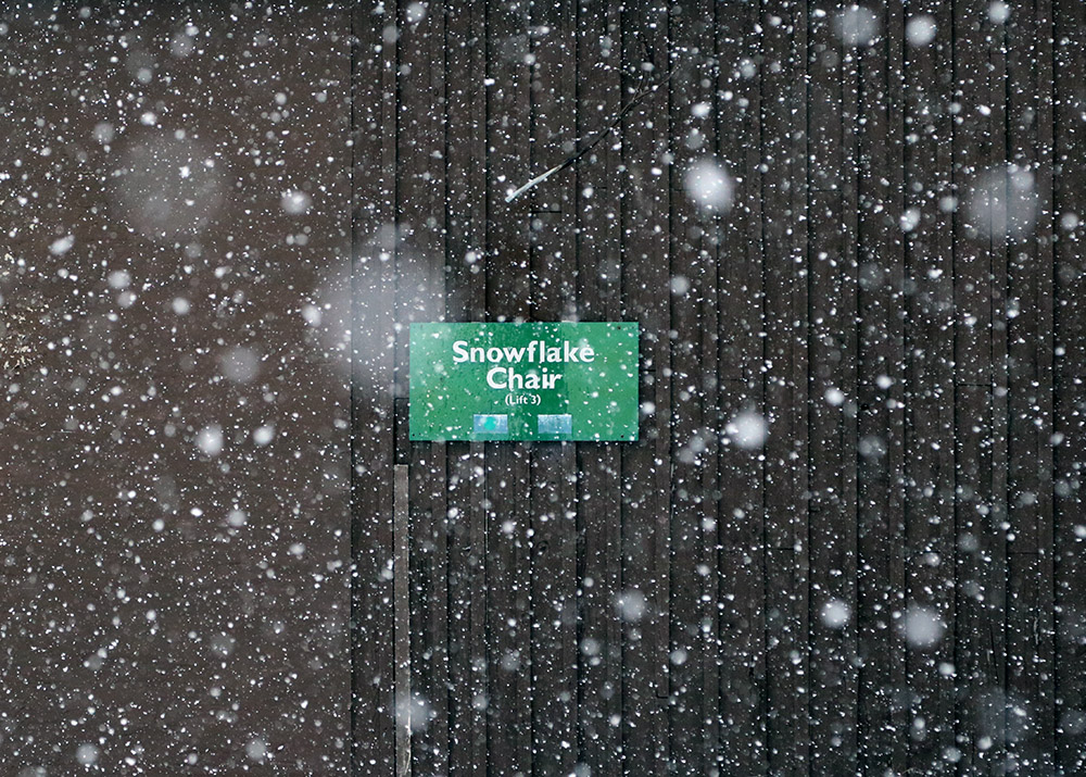
The snow was still pouring down at the base of the Snowflake Lift when I was leaving after my tour today.
It was still dumping at the base when I left, and the radar has shown continued precipitation tonight, so I wouldn’t be surprised at all to see those numbers increase a bit more by tomorrow.


