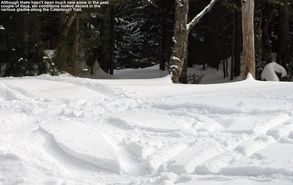
A little fresh snow fell when we were out on our tour in the Bolton Valley backcountry yesterday, but in general we’ve been in between systems over the past couple days. That’s presented a great opportunity to explore the backcountry with the boys though, and yesterday they completed their longest tour to date as we took them out to one of the glades along the Catamount Trail. E and the boys had to head back to school today, but I had the holiday off and decided to do a tour similar to yesterday’s, with some additional exploration along the Catamount Trail past the glade we’d visited.
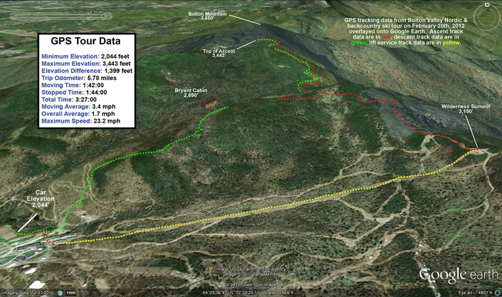
I parked down at the edge of the tennis court lots as usual, made my way up to the Wilderness Lift, and connected over to Heavenly Highway from the Wilderness Summit. Snow conditions were very much like yesterday – I checked the depth of the powder atop the base snow along Heavenly Highway and found it to be around 9 to 10 inches. The big change from yesterday was that there was nobody out on the backcountry network trails – Monday afternoon on a holiday weekend must have meant that most people had already headed home.
“It was so quiet that even
the nearly silent shuffling
of my skins through the snow
had me feeling like a marching
band crashing through a
sleepy town in the
middle of the night.”
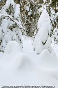
Once past that first glade along the Catamount Trail, I was into what was for me, uncharted territory. I continued along the trail, which gradually rose as it headed generally north-northwest toward Bolton Mountain. One of the most impressive aspects of this part of the trail was seeing the impressive depths of snow that have built up, in what has really been a very low season for snowfall. The general area below the Catamount Trail junction with Raven’s Wind, which is sheltered like parts of Heavenly Highway, revealed evergreens that were just choked, buried, and ensconced with snow. Around every corner I was finding fantastic, gravity-defying deposits of powder. Once past the junction with Raven’s Wind, which marks the last outpost of Bolton’s backcountry network, the Catamount Trail began to level off and skirt along the eastern edge of Bolton Mountain. At over 3,300’ in elevation, this area marks the highest point on the entire Catamount Trail.
I contoured along the southeast face of Bolton Mountain as the trail switched to a northeasterly direction; I couldn’t see the summit of Bolton Mountain (3,680’) through all the evergreens, but the steep rise in the terrain off to my left let me know that it was looming up there about 400’ vertical feet above me. As I continued to scan the elevated terrain to my left, I quickly noticed that the density of the evergreens had become sparser, and I began to see potential ski lines through the trees. I eventually decided that I’d gone far enough out on the trail for the day, and chose a spot to ascend a bit and see if I could start my descent up in the trees above me. The terrain was fairly steep, but there was that consolidated base below that top layer of powder, so I wasn’t wallowing in bottomless fluff as I broke trail. With the evergreens all around me, the air was deathly still. It was so quiet that even the nearly silent shuffling of my skins through the snow had me feeling like a marching band crashing through a sleepy town in the middle of the night. I continued generally westward and upward, following what looked to be the most open lines through the trees. The terrain began to flatten out ahead of me, and I could see on my GPS that I was approaching the Long Trail along the ridgeline; I decided that that was a good goal to mark as my turnaround point. I know that I was very close to meeting up with the trail when I finally stopped my ascent, as I was definitely on the ridgeline and the land clearly began to drop off to the west. I was tempted to go a little farther and make the trail connection, but it just didn’t seem worth it to lose elevation. It was after 3:00 P.M., I was well away from the Catamount Trail, and I was alone. It was at least generally downhill back to the Catamount Trail from my location, and there was no need to push my luck.
“Some trees even displayed that
hanging moss that I’ve often seen
in the mountains of the Pacific
Northwest and British Columbia…”
I stripped off my skins and reversed my course, traveling along generally flat, ridgeline terrain at first, and negotiation a steep south-facing gully as well. When I’d finished crossing the flattest terrain and could see that I was about to begin the descent to the Catamount Trail, I stopped in a comfortable spot and pulled out some of my food supplies. I ate a Clif Bar and had a couple rounds of the hot tomato soup that I’d packed in my thermos like yesterday. That absolutely hit the spot. I definitely needed the recharge after throwing in all that extra trail breaking on top of the ascent of the Catamount Trail. The energy expenditure had been enough that I was getting a bit drained, and I definitely wanted something in the tank for the descent. Once I stopped moving, the silence around me was redoubled, and it was indeed eerily quiet. Such is the scene at times when one is alone in the deep woods of winter.
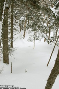
I packed up my food and gear and began the real descent through the evergreens. There were indeed some reasonably open spaces and nice turns, but it was steep enough that it really would have been better with deeper powder for the available tree spacing. The 9 to 10 inches that were there were OK, but I’d say something around 18 inches would be more appropriate. And, although the natural lines through the trees were good, they could be dramatically enhanced just by clearing off the all the dead branches that were still on the lower parts of the evergreens. That would be a great off-season project for someone to tackle, and the process could continue right on down below the Catamount Trailas well, because the terrain just keeps going. In any event, even in its natural state I’m keeping that terrain in mind for a place to visit after a reasonably big dump with depths of powder that will fit the pitch and spacing of the trees.
I popped out on the Catamount Trail and had begun to head back toward the resort, when I ran into the first pair of people I’d seen all day. It was a couple of younger guys, and they asked me if I knew the area. I said that I knew it fairly well, but when they asked me what lay to the north of where we were, I told them that that was out of my range of knowledge – I was currently the farthest north I’d ever been on this section of trail. In terms of descents, I said that I’d recommend descending back in the Cotton Brook area if they were unsure of where they were, because I knew that one could ascend back out of there quite easily. It was likely that one could traverse and get out from areas to the north as well, but one never knows just what the terrain would be like until they’re actually in there. I’m not sure what they ended up doing, but since it was well after 3:00 P.M. by that point, I hope they made an appropriate choice.
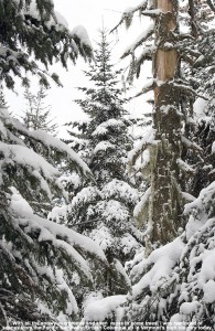
I was tempted to do a little extra exploration on my return trip, especially as I looked at the vast expanse of evergreens below me. Some trees even displayed that hanging moss that I’ve often seen in the mountains of the Pacific Northwest and British Columbia; as if the deep snowpack wasn’t enough, the sight of the moss seemed to me like a real testament to just how much precipitation falls in the higher elevations of the Northern Greens. As much as it would have been nice to poke around, ultimately I wasn’t willing to explore a descent down into the Cotton Brook area with the time of day, so I descended back toward the resort on the Catamount Trail itself. The trail isn’t very wide, so the descent below Raven’s Wind was quite a hoot. Let’s just say that I’m glad that I didn’t “run” into anyone ascending at that time of day. It’s definitely an exhilarating descent back toward the main glade though if you can catch it without any uphill traffic. I enjoyed a descent of the main glade back toward the Cotton Brook Trail junction, but despite the decent amount of powder, the combination of tracked snow, irregular surface underneath, and some previously work by the sun, made it rather challenging and nothing special in terms of flow. It’s definitely time for another storm.
I cruised quickly back along the Catamount Trail to the Bryant Cabin area, and headed right onto Gardiner’s Lane and North Slope. I was determined to find that glade that I’d missed with E and the boys yesterday, and after a bit of searching, I did. I made another mental note on the entrance to set myself up for next time, and had a fun ride down through there. When I finally got back down to the lower Nordic trails, I saw a couple of other people, but amazingly that was it for the entire tour of almost six miles. I can’t wait for my next chance to get out in the farther reaches of the Catamount Trail and explore it further.
