Since our first snows of the season back in September, we’ve moved on into a new month and another window for early season snowfall. This time the snow chances are associated with a series of small disturbances that started moving into the area last night and are expected to continue through the weekend.
I think it’s been a little while since we’ve had September snows here in the Green Mountains, but the mountains picked up some snow today for their first frozen accumulations of the 2022-2023 winter season.
After a fairly dry summer, the weather pattern has changed over the past few weeks to produce frequent synoptic precipitation, so let’s hope that sticks around we continue into the snow season!
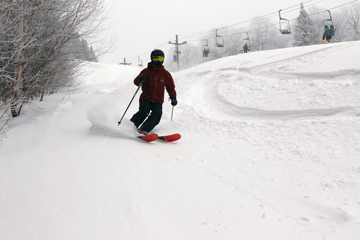
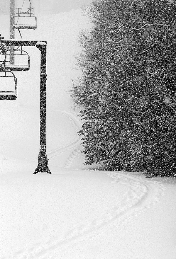
The 6 to 8 inches of new snow from Winter Storm Carrie provided some nice turns today off the lower lifts of the main mountain at Bolton Valley.
It’s been a busy past couple of weeks finishing up the semester for me, and there haven’t been any notable storms to urge me out to the slopes, but we got out to the mountain today to take a few turns in the new snow from Winter Storm Carrie.
For conditions, there was about a half foot of new snow reported by Bolton in their morning report, although there were probably a couple more inches on top of that with the way it was accumulating while we were there. Indeed they’re now reporting 8 inches for their weekly total, and I’d say that’s probably the storm total once the backside snows were incorporated. It was a decent resurfacing of the slopes, with 0.80” of L.E. recorded here at our place. I suspect they’re in the that ballpark for L.E. up at the mountain as well, although the western slopes probably were a bit lower on storm totals relative to the eastern slopes with the wind flow for the majority of the storm cycle. In any event, the surfaces we found out there today were nice, although I could see how high-angle terrain or higher traffic resorts could find the slopes getting down to firm surfaces pretty quickly.
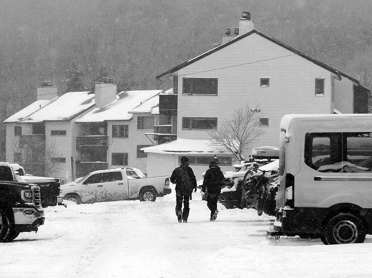
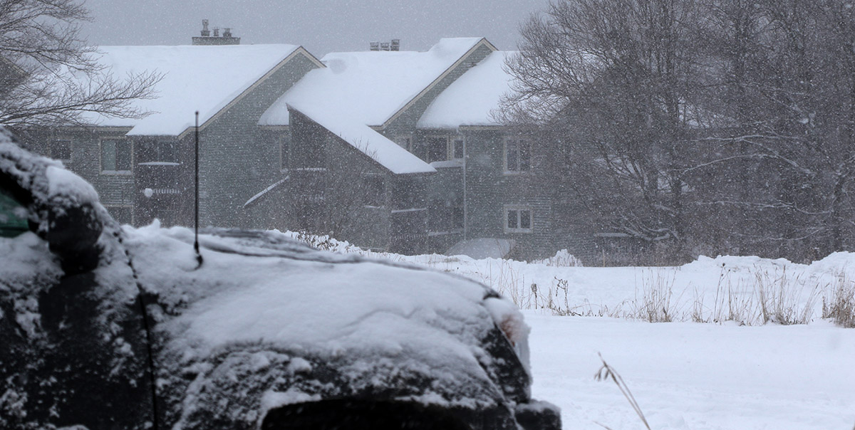
The back side of Winter Storm Carrie made for a snowy morning up in the Bolton Valley Village.
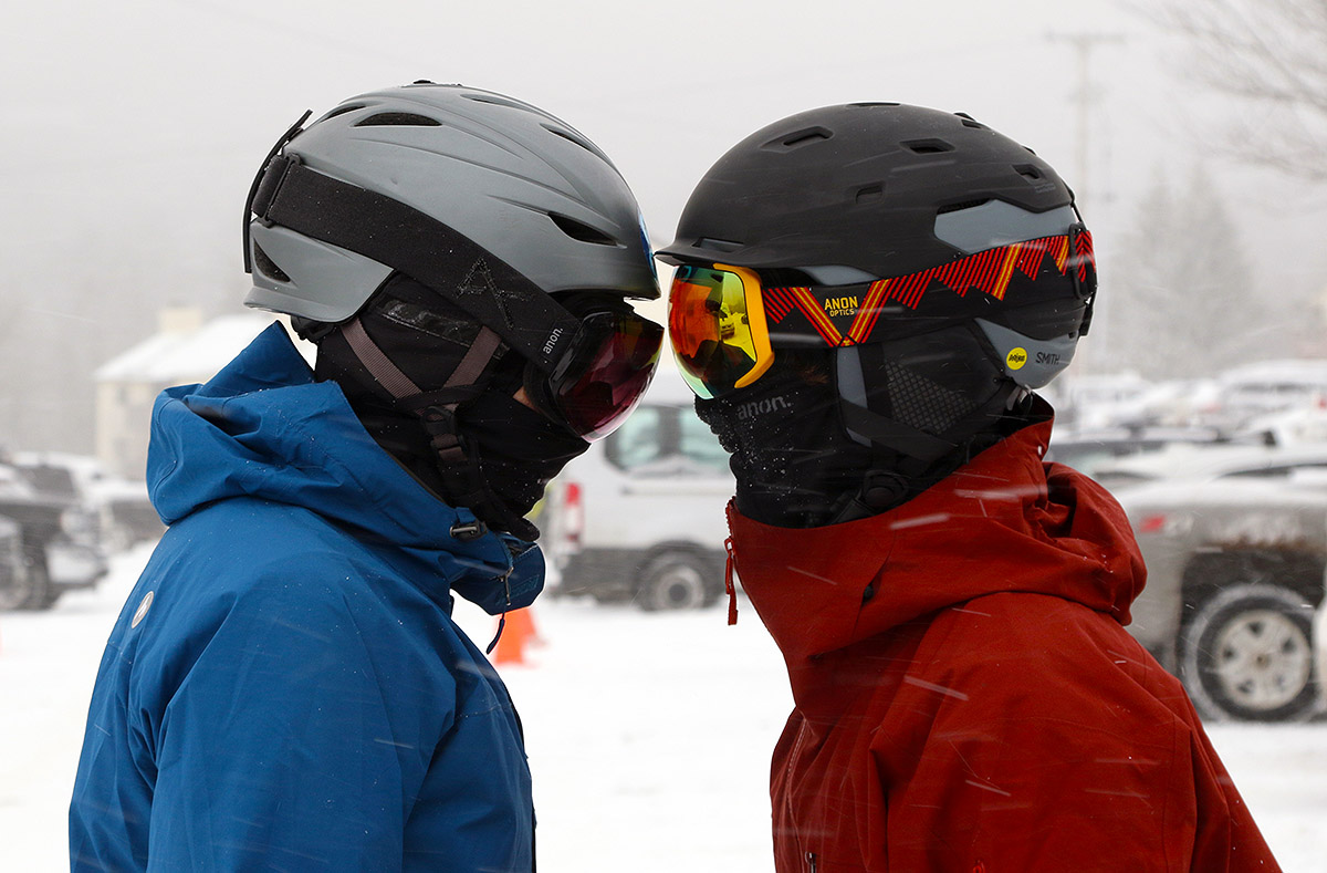
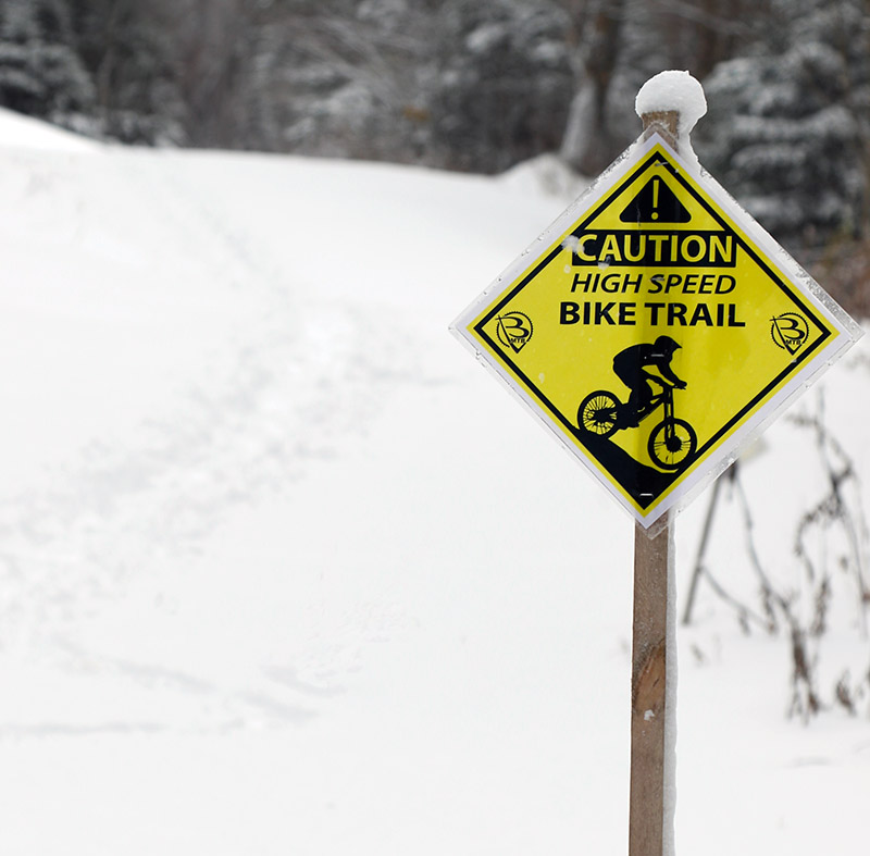
The overall feel at the resort was quite wintry with temperatures in the teens F, moderate snow falling, and some wind. Bolton only had their lower lifts running as they were still prepping the Vista Summit for lift-served levels of traffic, but it looks like this storm put them over the top and they’re opening the Vista Quad in the next few days. The Wilderness Uphill Route is open, so with the leftover base they had plus this new storm, there’s certainly enough snow to be skinning for turns on the natural snow terrain at Wilderness, so that’s great to have in place for the upcoming holiday period. They’ll still need another decent shot of liquid equivalent to get more terrain open for lift-served levels of traffic on natural snow terrain, and to get the lower-elevation Timberline area open for ski touring traffic. I’m sure there are some people touring down at the Timberline elevations with what we’ve got at the moment, but the Timberline Uphill Route isn’t officially open yet. I think they’d lost most of the natural base snow there, so you’re working with just the accumulations from Winter Storm Carrie, and this one storm with ~3/4” of liquid equivalent isn’t quite enough to get touring into a really comfortable place.
A view of some of the snow on Beech Seal today, where 6 to 8 inches fell from Winter Storm Carrie
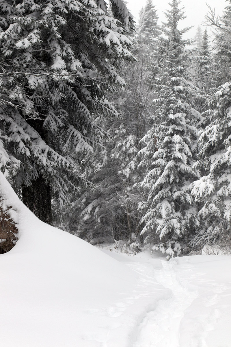
A view of a skin track on today’s ski tour. The deep snow across the mountain made for many trench-like ascent and descent tracks.
For several days the weather modeling has suggested an early winter storm would be affecting the area after Thanksgiving, and indeed it really began to ramp up the snowfall yesterday. The ski area webcams were suggesting some nice accumulations at elevation, so I headed up to Bolton this morning for a bit of ski touring.
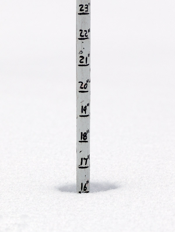
In terms of snow accumulations, what I found is definitely more than what they’ve got in their snow report (5-8”), but they did indicate they had trouble with blowing at their stake. It’s possible my measurements were getting down into existing snowpack, but it seems like that should have been consolidated from recent temperatures. The backside upslope snow was also coming down while I was out there today, so that likely added a bit to the totals:
Snow depths I found today topped out around 16 inches at the 3,000-foot elevation.
Like what we picked up down at the house, the snow I found at the mountain was generally dense, and it put down a substantial addition to the base on the slopes. We picked up over an inch of liquid at our site in the valley from this storm, and I’d say the slopes of Bolton easily picked that up as well. It feels like there’s at least an inch of L.E. at the base elevations, and probably something like two inches of L.E. up high. Some of the higher elevation snowpack could have come from previous events, but in any case, that’s a substantial amount of L.E. in place.
There were a couple inches of drier upslope snow to finish off this storm cycle, but the bulk of it was that denser snow, and that’s definitely what set the tenor of the skiing. There were no concerns about hitting anything under the snow on trails without any overt obstacles like large rocks, and any terrain that was smooth up to the level of single black diamond pitch was fine to ski unless it was wind scoured. In fact, the snow was too dense for skiing any low angle terrain, so you really had to be on moderate to steep terrain or you would be bogged down and just have to straight-line to maintain speed. Skiing on terrain with the right pitch was quite good though, and you could carve right into the powder and just let the skis surf.
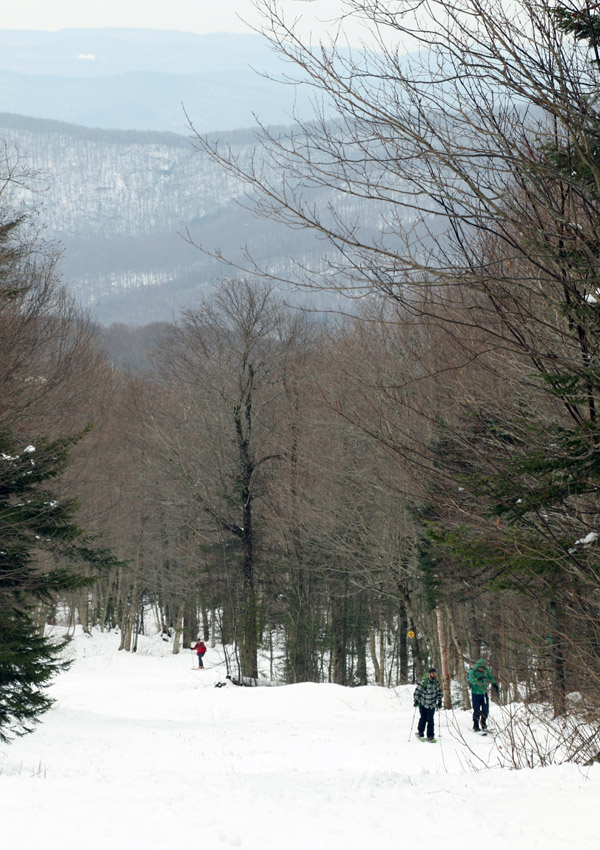
A few folks on the Turnpike skin track today as we were out enjoying the pleasant ski conditions at Wilderness
The midweek system that brought nearly a foot of snow to the mountains had produced some excellent turns on Thursday, so I decided to head back up to the mountain today with E for a quick tour in the Wilderness area. Warmer weather is expected to move into the area over the next couple of days, so this morning seemed like the best time to get in on the remaining powder before it consolidated too much.
Being a weekend, there were a good number of people out on the hill, and we saw several groups using the Wilderness skin track and enjoying the nice weather. We toured up to around the Cougar area, and enjoyed a nice descent on Lower Turnpike. Much of the trail was skier-packed snow after a couple days of ski traffic, but it was a really nice packed surface with soft snow and temperatures in the lower 30s F. There was even powder remaining around on the sides of the trail that I was able to hop into for some floaty turns. The power was getting a little thick with warming temperatures, but it was definitely serviceable. There were certainly a few thin spots here and there, and one had to pick their spots for traversing the water bars, but obstacles were minimal enough that avoiding them could easily be worked into the flow of your turns for an enjoyable down mountain ride.
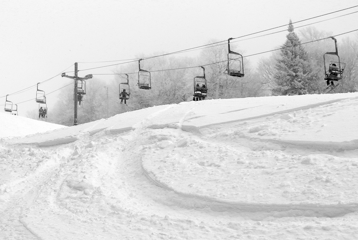
One of the beautiful scenes from Bolton Valley this morning, showing a few old ski tracks on Lower Turnpike
Yesterday, an upper-level disturbance/Alberta Clipper-style system began to affect our area, and as of this morning, Bolton Valley was reporting 4-8” of new snow in the past 24 hours, and 10” in the last 48 hours. Although we haven’t had too much base snow yet this season, those accumulations, as well as the view on the Bolton Valley Main Base Webcam, suggested that there was enough snow out there for a tour.
Temperatures up in the Bolton Valley Village were in the upper 20s F, and I generally found 7-10” inches of snow from the Village elevations upward. There’s decent substance to the snow (i.e. it’s not just fluff), but as expected, there’s really not too much base below that snow from what I saw. I just don’t think there was any dense snow, or rain-affected snow that had a chance to consolidate below these most recent accumulations. The snow quality is good though; the snowpack I encountered was right-side up with some medium weight density snow below fluffier powder on top.
Roughly 2,700’ was as high as my tour took me today, so I can’t provide observations above that level, but snow depths probably would have increased a bit more with elevation.
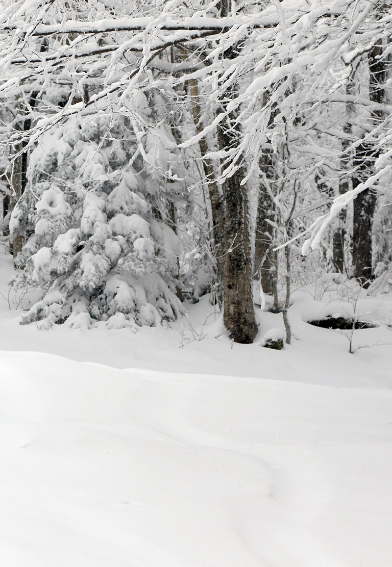
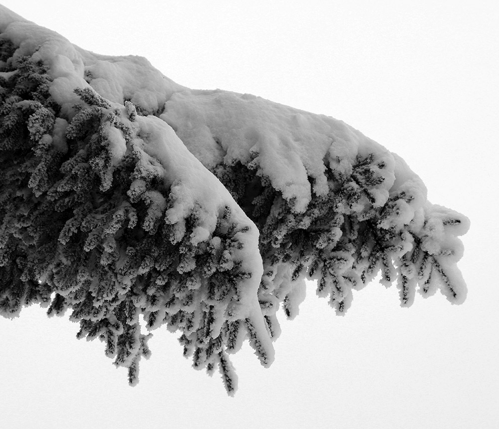
Some of the recent snow on a spruce bough
I’m surprised to see a depth of only 8” at the Mt. Mansfield Stake at 3,700’ as of the most recent report, but I’m not sure when that depth was last updated. Based on the amount of liquid equivalent that seemed to be in the snow, and the sub-freezing temperatures up there, this would likely be the start of the winter snowpack unless we get a really warm/wet, long-duration event. Consolidating the snow that’s there right now and/or adding some water to it would certainly help form a base. We certainly want to get in a decent synoptic winter storm to substantiate the base, but the mountains have got at least a minimal start with this system. I’m not sure if the snow we have in the valleys around here is quite enough to mark the start the season’s snowpack, but it’s possible. We’ll see what the next couple of weeks bring as we head into the busy holiday season.
The snow tapered off in the afternoon, and then in the evening, the second system came into the area. That storm delivered another several inches overnight, and in the morning, I head up to Bolton for a ski tour.
In terms of the ski conditions it was certainly a fairly typical early season affair, and I’d say waiting for that second storm to put down the extra snow was the way to go. I opted to tour up at the main base, and there were clearly at least a couple more inches of settled depth up there (~2,000’) vs. what I found at the Timberline Base (~1,500’).
I could tell from the get go as I was ascending the Lower turnpike skin track and watching other skiers descend there, that the density of the snow was going to call for more moderate angle terrain vs. low angle terrain. The snow was fairly medium weight powder, which was of course good with respect to providing some base for skiing. There was obviously no existing snowpack below these storms, so if these recent snow had been 2-4% H2O champagne, there would have been a lot of dicey contact with the ground. But, this medium weight snow was dense enough that there was just too much resistance for low angle terrain – skiers and riders had to straight line their way down and/or use old tracks to keep moving on those angles.
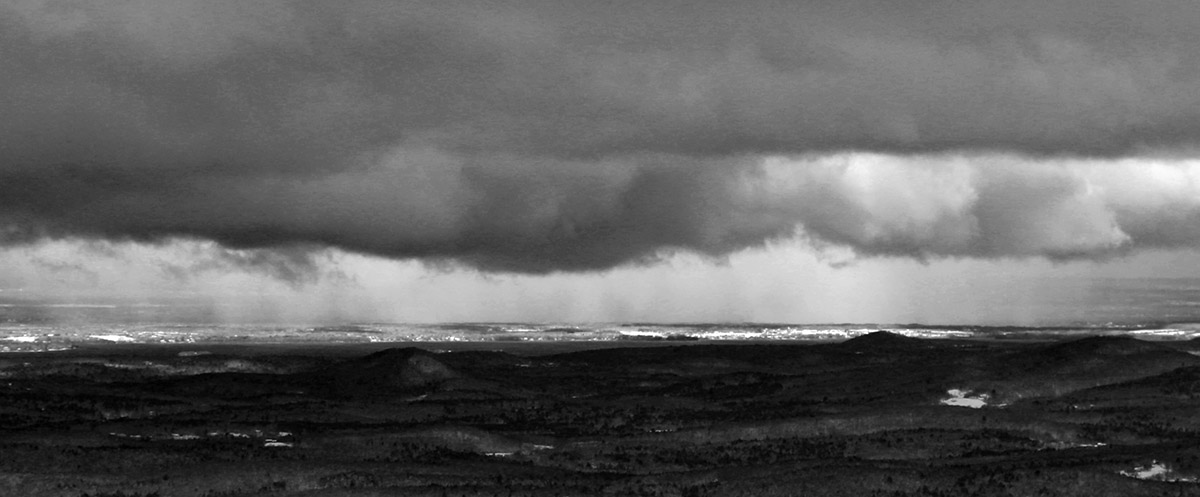
Viewing a snow squall in the Champlain Valley from the top of Bolton Valley.
Here’s the settled snow depth profile I observed during my tour:
340’: 4”
1,000’: 4-6”
1,500’: 6-8”
2,000’: 8-10”
2,500’: 10-12”
3,000’: 12”+
Terrain in the medium to low-angle range was required for solid turns, and that meant that it was a balancing act between choosing terrain that had enough pitch for turns, but not too much pitch that you were going to be outskiing the available snow depth. There was also the factor of finding relatively protected terrain – that first storm especially, had some ridiculous winds, and scouring of the exposed slopes was rampant.
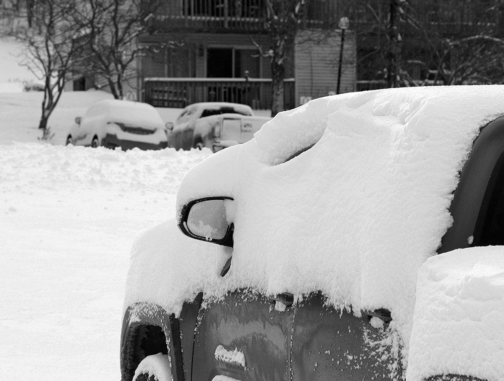
Down in the Bolton Valley Village today
So, good knowledge of the local terrain was important, but once you found the appropriate setup there were some nice midwinter powder turns to be had. There was as always that exercise of not going too steep, aggressive, or rocky to outperform the available snow, so of course having knowledge of those grassier options was important in providing the best ski experience.
It was a solid first day out at the mountain, and it looks like we’ve got some warmth coming in the next week or so before we have any additional chances for snow.
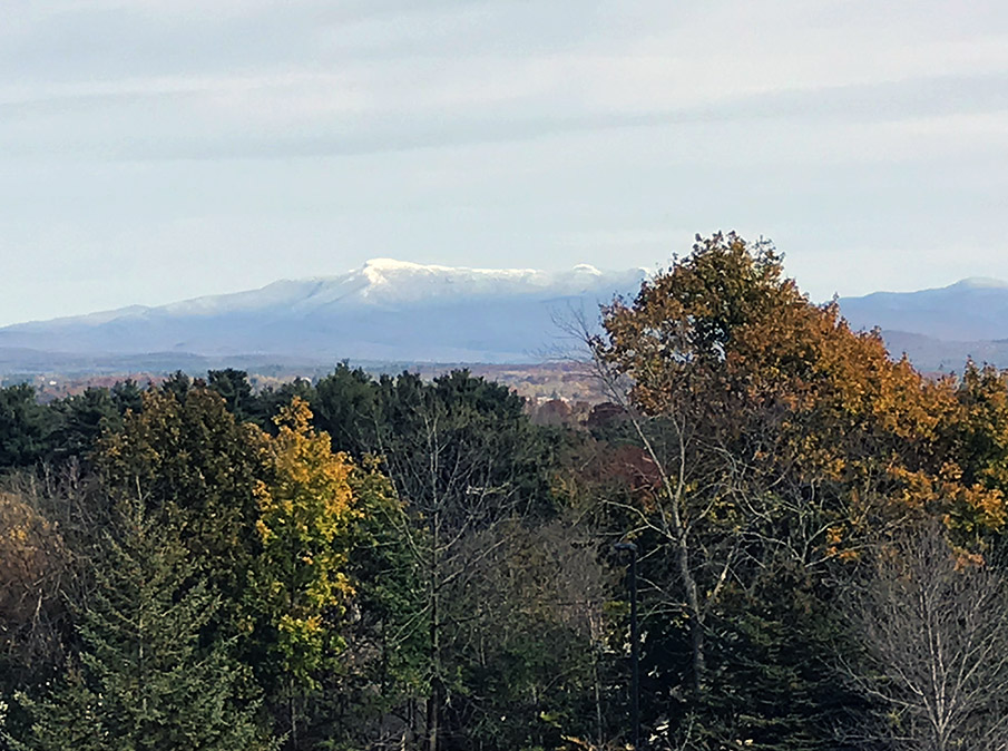
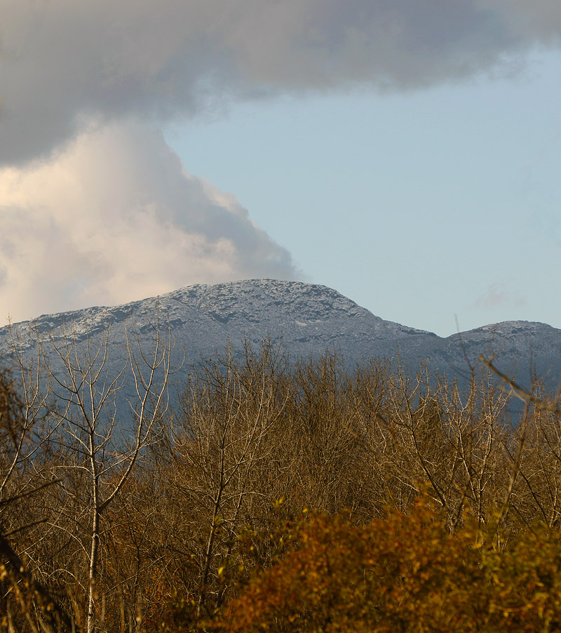
An image of Mt. Mansfield today taken from my office at UVM showing signs from the recent storm and fall foliage still hanging on in the valley.
The local mountains picked up some more snow in what looks to be our final snowfall event for the month of October. Down here in the valley at our house, I found a few flakes on my snow measurement board yesterday evening, but no measurable accumulation. This storm was more notable down in Southern New England where there were totals up around 7 inches in the Worcester, Mass area.
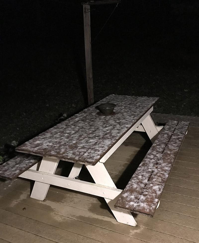
I woke up this morning to find snow accumulating on grassy and elevated surfaces like this picnic table on our deck. It’s the first accumulation we’ve seen in the valley this season!
I woke up this morning to find snow on the grass and elevated surfaces at our house, most notably our picnic table out back on the deck. This was the first snow I’ve seen at our house this season, and although our weather forecast did suggest there was some potential for accumulation, you never quite know how it’s going to play out in marginal situations like this one.
In any event, the snow stuck even down here at 500’, so it should have easily accumulated in the higher elevations. I measured 0.6” on the boards at observations time, and it did look like it could have melted some since the point at which most of it fell.
This is about a week on the late side for average occurrence of first frozen precipitation here at our house, but just a day off for the average date of first accumulating snow, so it’s very typical in that regard.
Details from the 6:00 A.M. Waterbury observations:
The Mt. Mansfield Chin today with some early season October snow
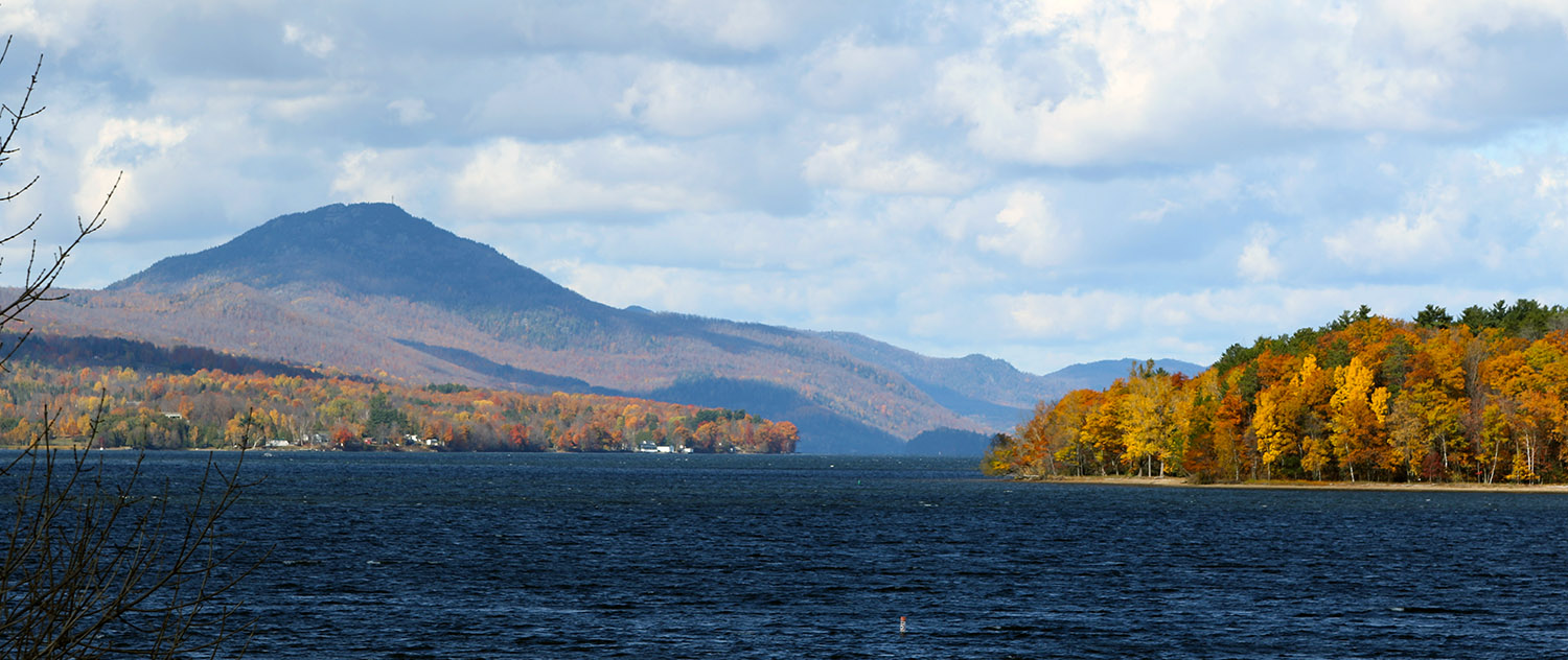
While in many areas around the state, the leaves have mostly fallen and it’s looking like stick season, there are still a lot of beautiful scenes with fall foliage. We were up in Newport today for a soccer game, and the views of foliage along Lake Memphremagog were beautiful.


