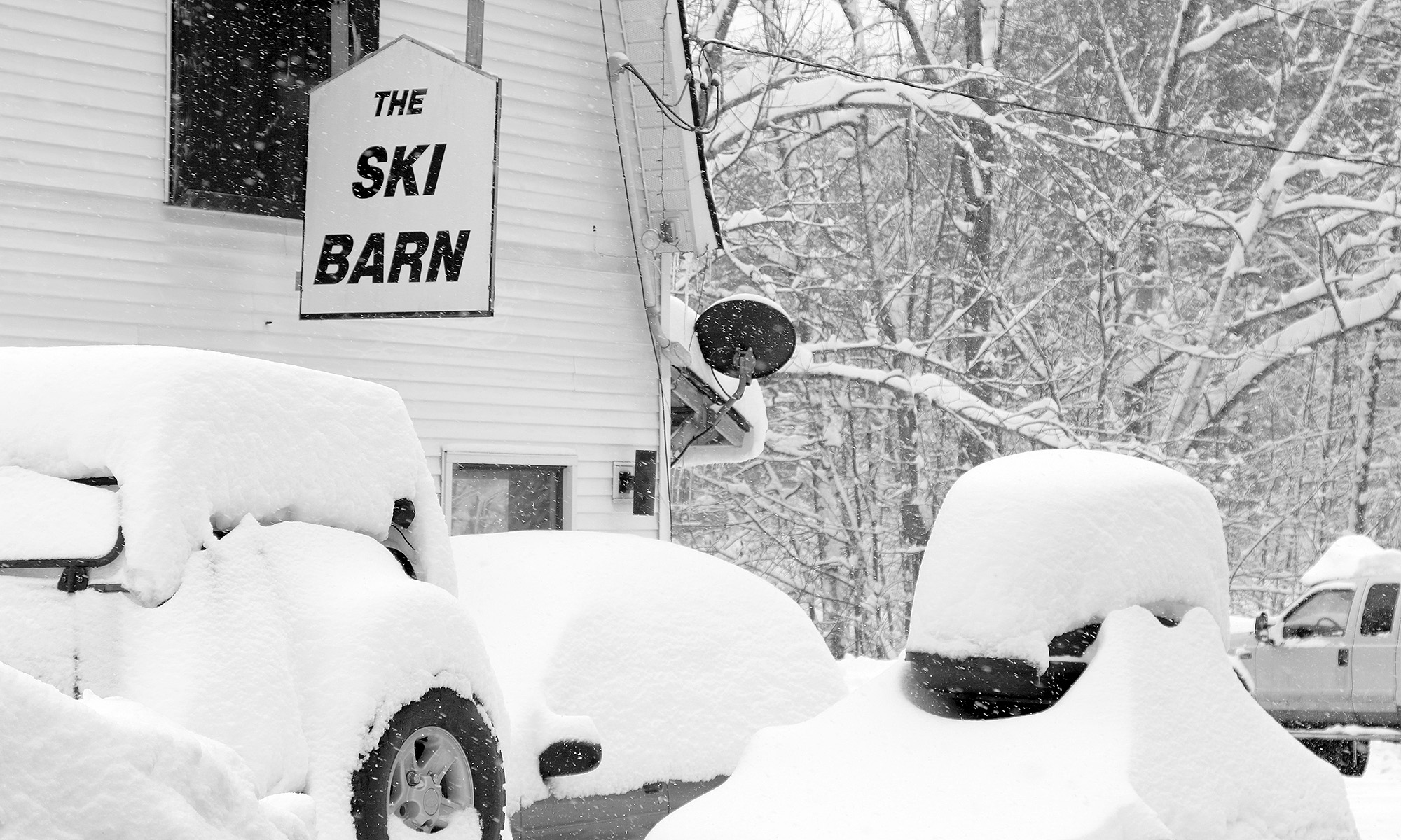
On Tuesday, a fairly compact low pressure system formed off the New England coast and spread snowfall back into parts of Northern New England. During the afternoon, mixed precipitation was falling at roughly the 1,500’ elevation near the bases of local resorts like Sugarbush and Stowe, with the accumulating snow line around 2,000’. At the end of the day, Powderfreak sent in a nice picture to the NNE thread at the American Weather Forum showing the snow line at Stowe’s Gondola area.
The most impressive accumulations came on Tuesday night, with Wednesday morning revealing 5.1 inches in Derby Center, VT, 7 inches at Pinkham Notch, 11 inches of new snow in Randolph, NH, 17 to 18 inches in Tuckerman Ravine, and 18 inches atop Mt. Washington at the observatory. Wildcat ski area picked up roughly a foot of snow and plans to open on Saturday with top-to-bottom skiing. Back here in along the spine of the Northern Greens, Powderfreak was reporting 3 to 4 inches of snow for the upper elevations of Mt. Mansfield by Wednesday evening.
As of this evening, we picked up a bit of accumulation at our house in Waterbury, and Powderfreak was reporting a general 3 to 5 inches of total snow accumulation on Spruce Peak at Stowe.
There’s apparently a Nor’easter brewing for this weekend, although there’s not a ton of cold air around for the system to use, so the current forecast suggest snow will only be up near the summit elevations and fairly limited in amount.
