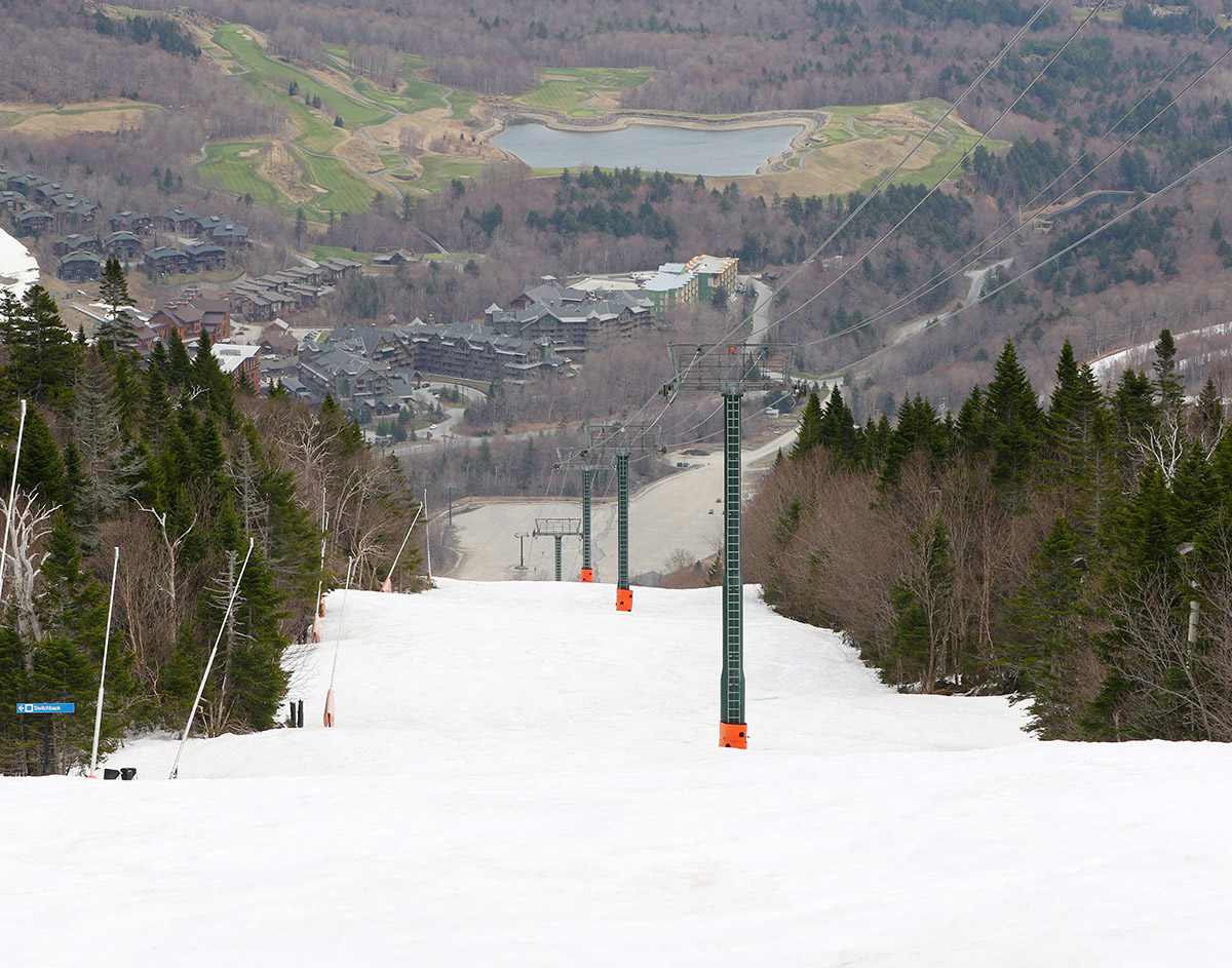
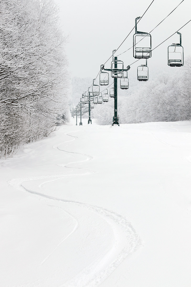
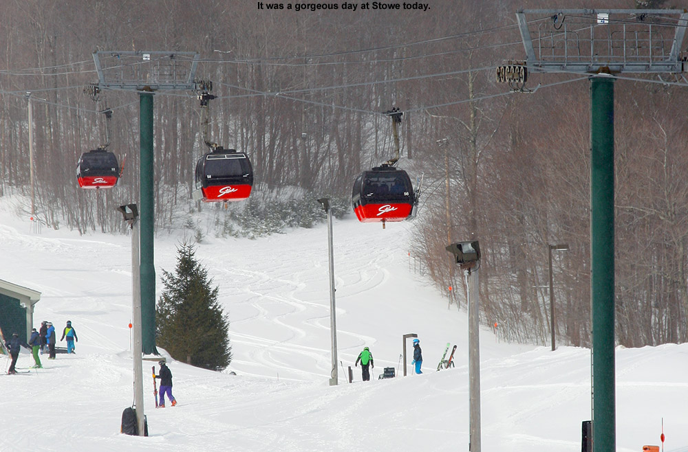
Looking up at the snow on Gondolier at the start of today’s ski tour at Stowe
Based on the forecast, today seemed like the better half of the weekend for turns, so I decided to head to Mt. Mansfield and make use of all the snow that’s still out there. A look at the Stowe Mountain Cam this morning showed that coverage still looked continuous on the Gondola side of the resort, and since that area generally melts out faster than the terrain under The Nose, I decided to ski that while it was still in good shape.
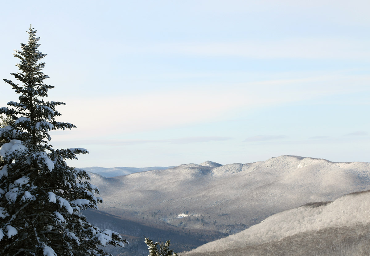
Looking across the valley toward the Worcester Range at the clouds just rising up above the peaks.
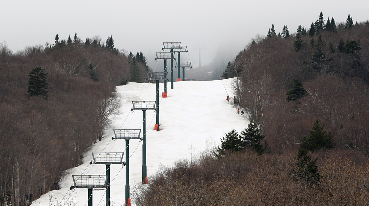
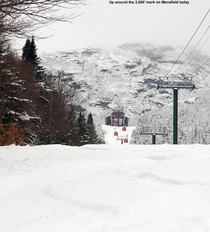
Based on what I’d seen from the webcam and views from the valley, the cloud ceiling seemed to be sitting at around 3,200’ on Mansfield, so my plan was to continue my ascent until I hit the lowest cloud deck, or the snow became too firm at elevation, whichever came first. Indeed, as the webcam view had indicated, coverage on Gondolier was pretty much continuous from top to bottom. It turns out that there are a couple of small breaks of a few feet, but they’re nothing substantial that would ruin a top-to-bottom run.
It remained mostly cloudy today, and not especially warm with temperatures around 50 F, so I was initially worried about the snow being generally too stiff for quality turns. It was a little tough to tell exactly how it was going to ski during the ascent, but the sky began to brighten a bit in the midafternoon period, and the cloud ceiling started to rise. The ceiling rose all the way up to 3,600’, and then slowly continued to rise beyond that, so I opted to make a full ascent to the Gondola Summit Station. The brightening skies probably provided that extra punch of solar radiation to ensure that the snow quality was decent at all elevations, so in the end, the whole descent provided some fantastic spring turns.
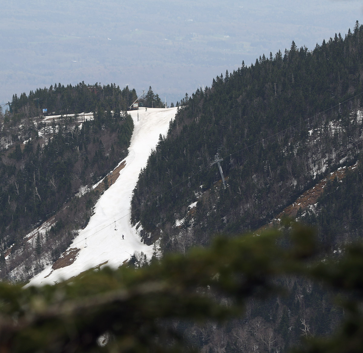
A view over toward Nosedive and the terrain under the Nose of Mt. Mansfield
I’d expect some decent gaps to open up on the Gondola terrain over the next week if the weather was going to be mild, but the snow there might actually hold out for a while. The forecast suggests numerous snow chances over the next couple of weeks, so that could result in some accumulation and decent preservation as we head farther into the spring ski season.
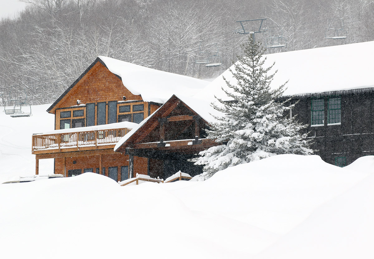
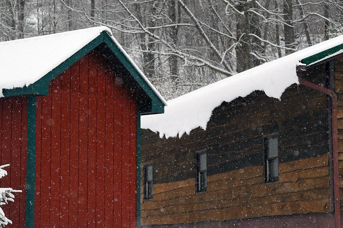
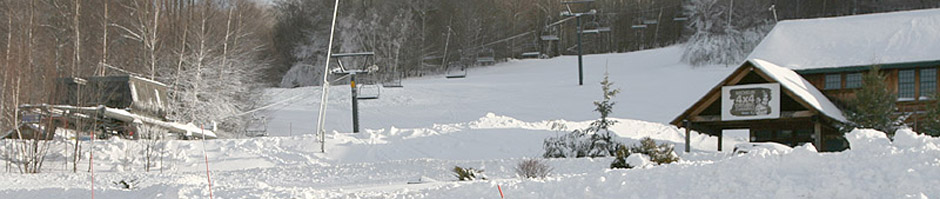
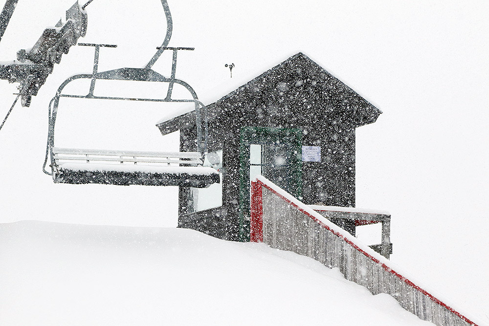
A view of the Timberline Base Lodge this morning with 18 inches of snow having already fallen from Winter Storm Sage
In Bolton’s early morning report they were indicating 3 to 4 inches of new snow from Winter Storm Sage, but little did they know, by the afternoon the storm would already have dropped several times that amount. The Winter Storm Warnings from the National Weather Service in Burlington started including counties farther and farther into the northern parts of Vermont as the storm drew closer, and that was definitely a sign that there was going to be a bit more impact in the Northern Greens than the weather models had initially suggested. Here at our house in Waterbury, the snowfall really started to pick up today in the midmorning period. We began to get very large snowflakes with diameters in the 3 to 4-inch range, and those flakes were accompanied by very heavy snowfall rates; over the course about 30 minutes, we picked up roughly half a foot of new snow.
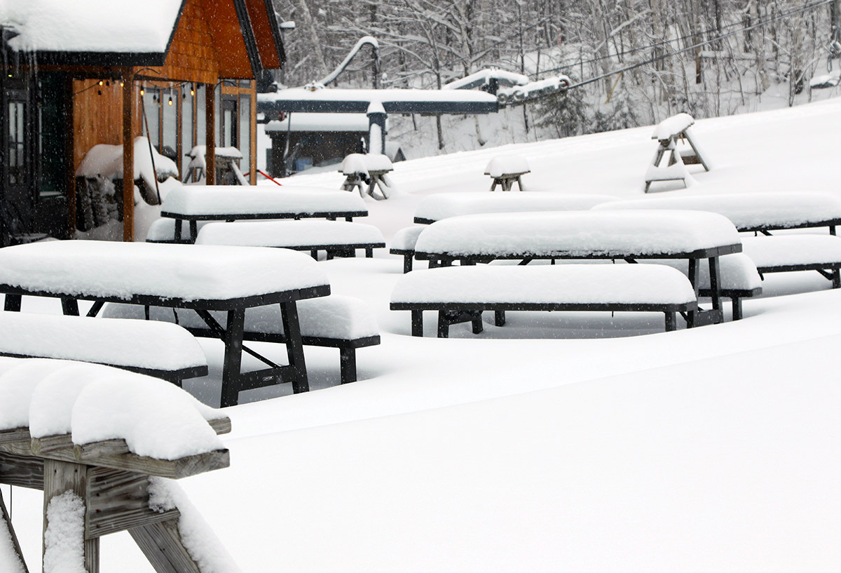
Some of the morning accumulations from Winter Storm Sage down at the Timberline Base Lodge.
It looked like Bolton had been hit with similar intense snowfall rates, and it was obvious that there was far more than the initial few inches when I headed up to Timberline for a ski tour this afternoon. My depth checks from the Timberline Base at 1,500 feet were indicating 12 to 16 inches of new snow. I wasn’t sure if there was going to be much additional accumulation with elevation, but by the time I hit 2,500 feet, my measurements were in the 15 to 18-inch range. Bolton’s snow report update from later in the day had their accumulations topping out at 18 inches, so that fit well with my observations.
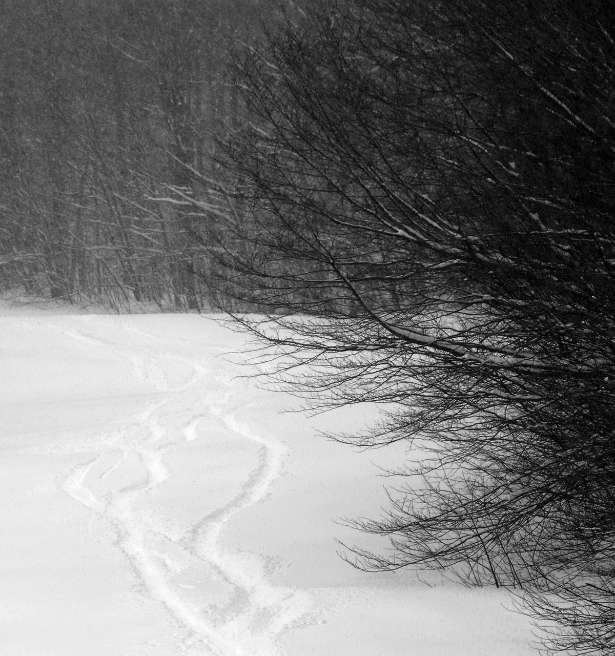
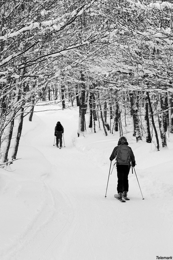
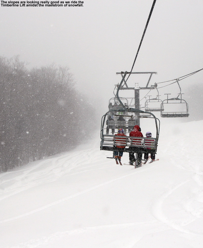
A little ski traffic from folks who were out touring at Timberline today
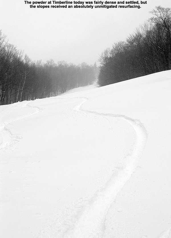
The actual skiing itself was rather interesting. On my ascent it was already obvious that the snow wasn’t at all wet at elevation. It was fairly dense though, with small flakes falling during my tour. With those small flakes falling atop the accumulation of the larger ones that would have fallen during that midmorning, the powder wasn’t perfectly right-side-up. It wasn’t exactly upside-down either, but there was an element of that in the powder, and combined with a foot and a half of new depth, it added some extra challenge. When you’re on 115 mm boards and you’re feeling like they might not be wide enough, that’s saying something. While I didn’t personally see anything slide or even slough when I was out on my tour today, I did feel tinges of spookiness of steeper slopes, with part of that coming from the slightly imperfect density profile. It didn’t come as a complete surprise when I saw the following in Bolton’s updated snow report:
Urgent Message From Patrol: Avalanche hazard present at this time. If travelling on terrain (especially uphill routes and backcountry) follow appropriate avalanche precautions and gear up accordingly.
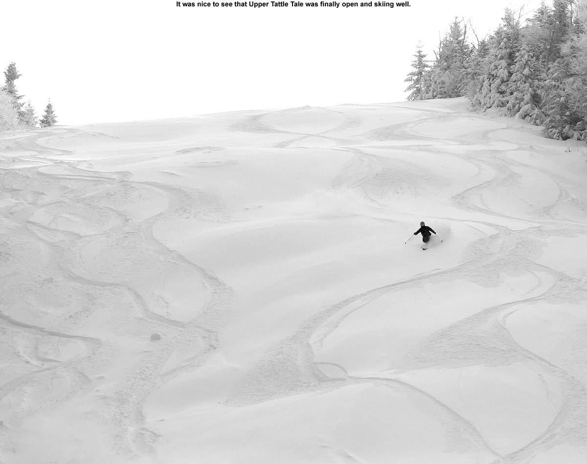
So, be careful if you are riding in potentially hazardous spots in the near future with this current snowpack. And unfortunately, the best skiing really is on the steepest terrain right now. I could tell on my ascent that I was going to need some serious pitch to get a quality descent, so I dropped in on the Tattle Tale Headwall, and it certainly delivered. We’ll see what the back side of this storm cycle does for the snow profile, but for now, you’re going to want at least black diamond pitches for the best turns in undisturbed snow. Indeed, if you’re planning to head out for turns tomorrow on anything that hasn’t been tracked, bring your fattest boards and hit the steepest terrain you can find. Conditions should be great though, because we’re in the process of getting another massive resurfacing of the slopes, and its already atop a surface that didn’t really even need it.
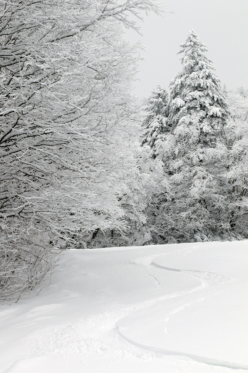
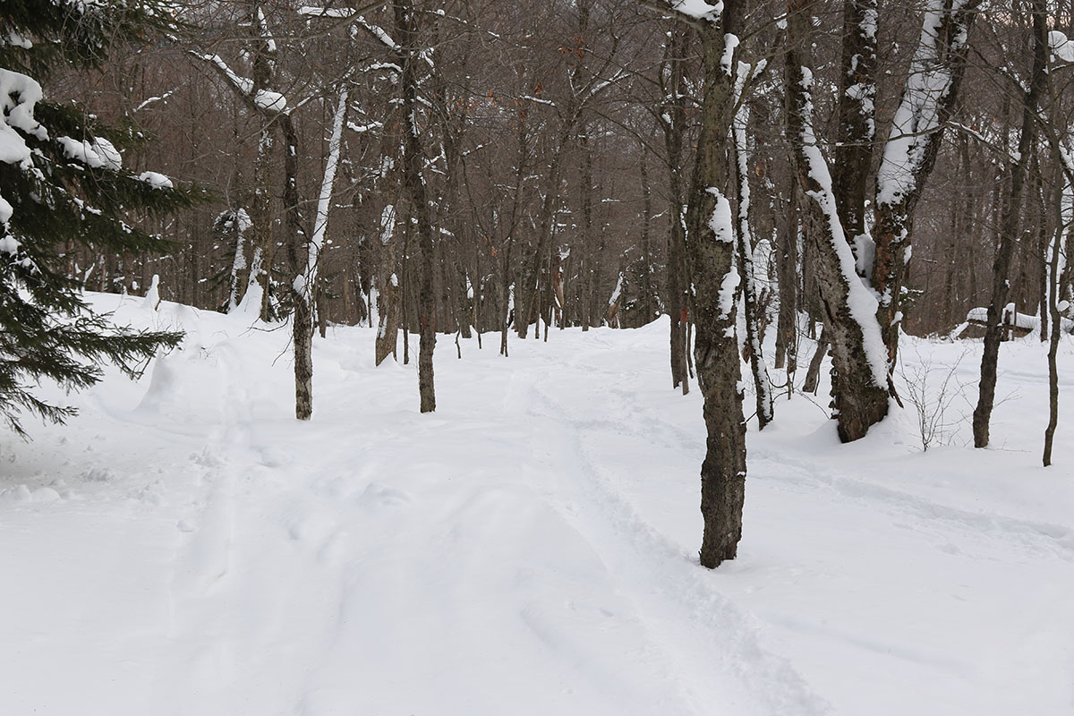
When I ventured off piste this morning during my ski tour, I encountered a foot of powder that had barely been touched.
We’ve recently come into a snowier stretch here in the Northern Greens; we’ve picked up accumulating snow at our house every day for the past ten days, and over two feet of new snow has fallen in the valley during that period. The skiing has been great, but I haven’t been up to the hill since I was out on Sunday with the boys because I’ve just been a bit too busy. My schedule was a little lighter today though, and with a modest system affecting the area over the past couple of days, I headed up to Timberline for a quick tour on my way in to Burlington.
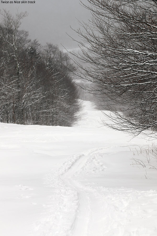
Bolton Valley was reporting 3-4” of new snow in the past 24 hours, so I was eager to see how the powder was looking with that addition. On my ascent, I was generally finding 4-6” of surface snow in areas that hadn’t recent been groomed, and that seemed to increase a couple more inches by the time I got up around the 2,300’ mark at the Timberline Mid Station. I descended on Twice as Nice, where they’d groomed a strip down the middle, but left the sides untouched for powder skiing. The powder skiing was excellent, and generally bottomless – even on mid-fat skis I only contacted the base a couple of times. Although the lift had started right around when I began my ascent, I was actually the first one down the trail for the day, so even when I encountered the groomed snow it was pristine, deep, and skiing really well.
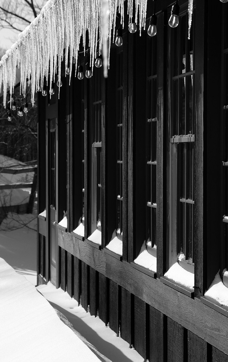
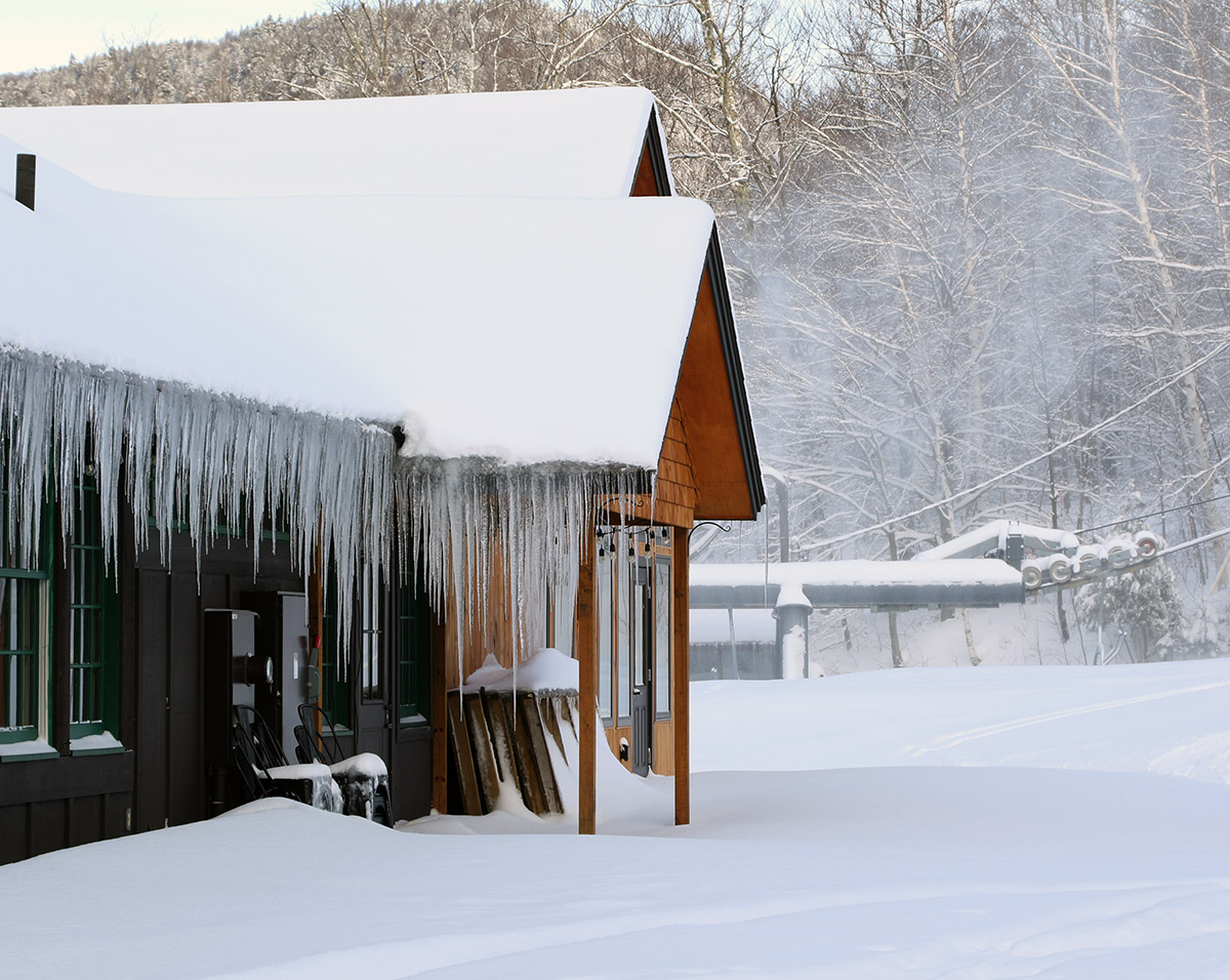
Scenes of icicles and snow this morning at the Timberline Base Lodge
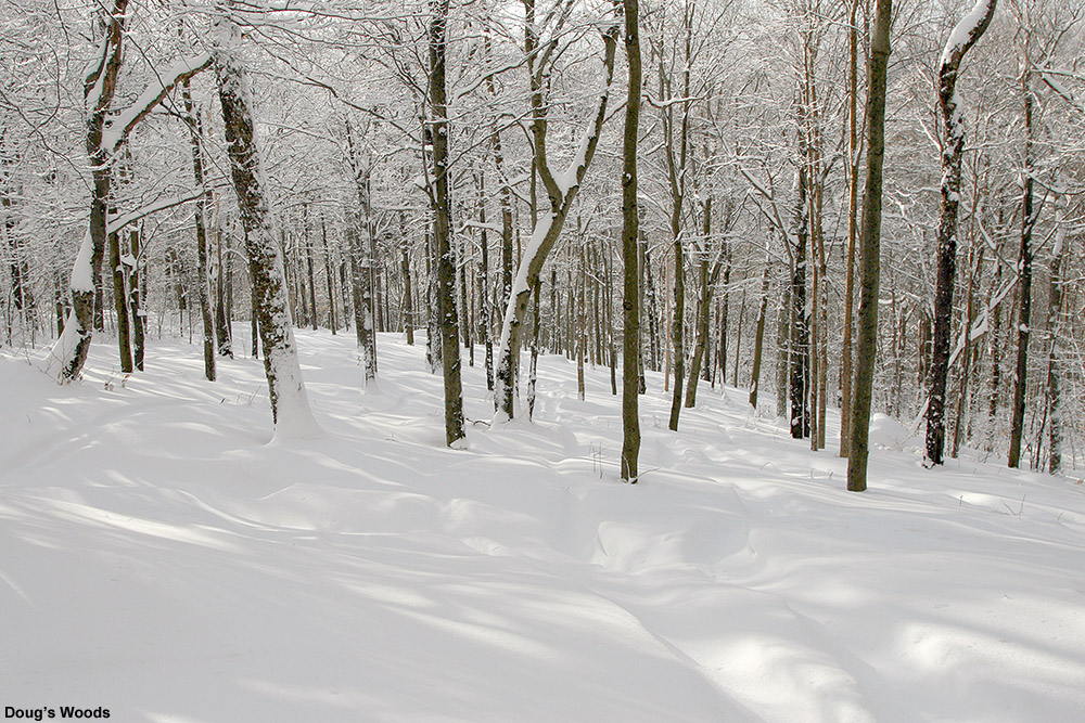
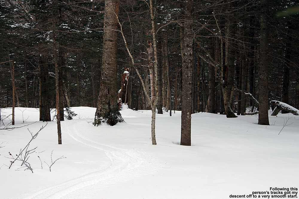
“…I cut left into Doug’s Woods to check out the snow there. I think even the ungroomed areas I’d been skiing had been previously groomed, because off piste, the surface snow was a solid foot of powder everywhere I checked.”
As I approached the bottom ¼ of the trail I saw that there wasn’t much for powder strips on the sides with the way they’d groomed, so I cut left into Doug’s Woods to check out the snow there. I think even the ungroomed areas I’d been skiing had been previously groomed, because off piste, the surface snow was a solid foot of powder everywhere I checked. That skied really well. Moreover, those conditions were encountered all the way down at 1,500’ on western facing slopes, so I’m sure things are even better up around 3,000’. We’ll have to see how Winter Storm Quest plays out over the next day or two, but the fact that it’s going down atop a snowpack that already has such good surface snow is a recipe for some really excellent ski conditions.
Gearing up in the Bolton Valley Village today for my ski tour, I could see the signs of recent snows from the past few days.
The very cold air was still in place today here in the Northern Greens, but we also had some fresh snow moving in with a bit of weak upper-level vorticity pushing through the area. Temperatures at elevation looked like they would stay in the single digits F, so ski touring once again seemed to be the call vs. riding the lifts.
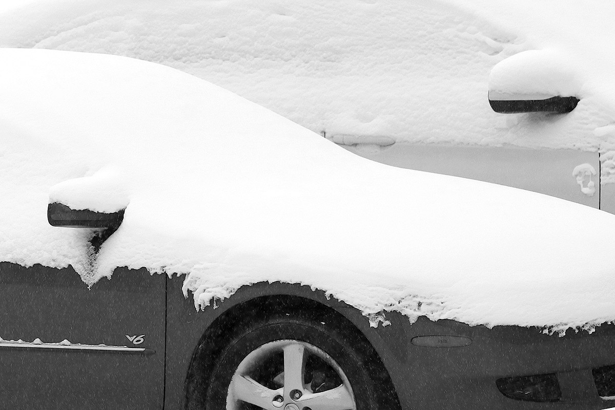
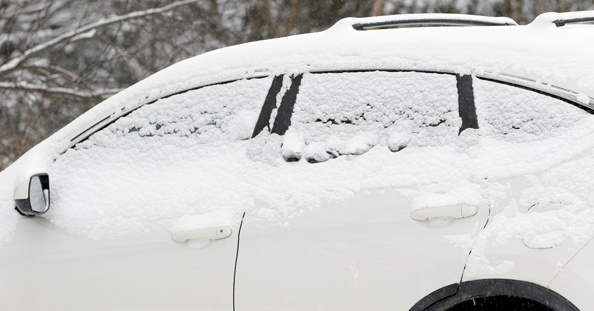
We’d picked up a half-inch or so of new snow down at the house when I headed up to Bolton Valley in the mid to late afternoon. Flakes had been small throughout the storm, so accumulations were coming in a bit on the denser side at around 10 to 12% H2O. I found the same type of snowfall up on the hill, although it was coming down with a bit more intensity. You could see that vehicles had taken on some decent accumulations from the day’s snowfall up to that point.
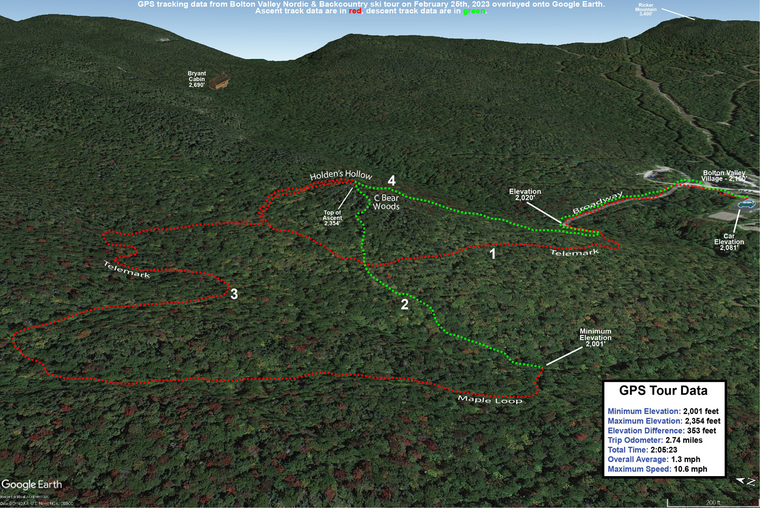
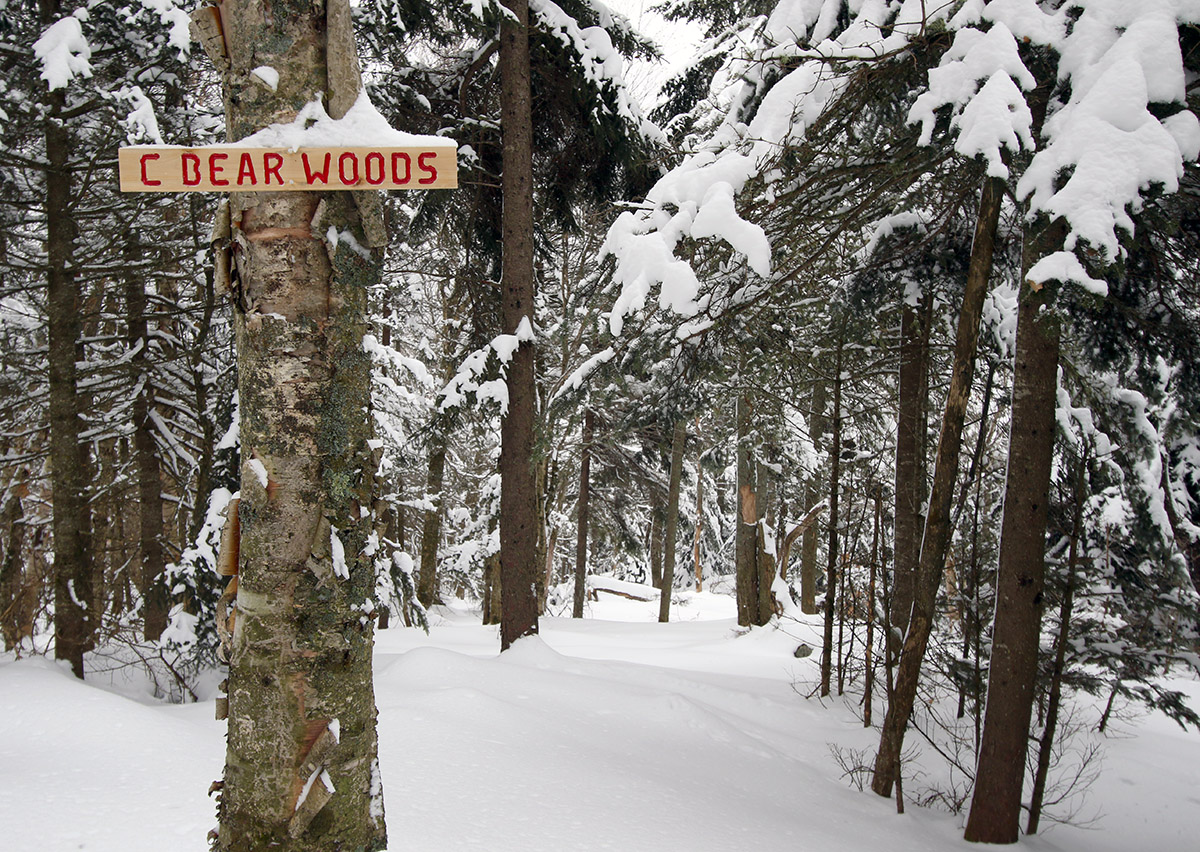
My ski tour was over in the Holden’s Hollow area, and my initial descent was down through some of the C Bear Woods and Holden’s Hollow West Side Glades that I’ve hit many times before. Based on yesterday’s Wilderness tour, the sweet spot for best turns based on the depth and consistency of the powder seemed to be those mid-angle slopes, so that’s what I was seeking out. Today I was touring at relatively low elevation in the 2,000’ to 2,500’ range, and depth measurements revealed a similar 8 to 10” of powder to what I’d seen yesterday. That surface snow was bolstered a bit by what was falling, but the liquid equivalent from that snow was only about a tenth of an inch, so it wasn’t a major addition. Those mid-angle slopes delivered once again though, with generally bottomless turns on 115 mm fat skis. I mixed things up a bit on the tour to explore some new terrain and continued my descent on the back side of the ridge down below the Telemark trail to the Maple Loop area. I then joined back on to a lower part of the Telemark trail and looped back around to the Holden’s Hollow area again to finish off with a front side descent.
The Google Earth map with GPS tracking data for today’s tour on the Bolton Valley Nordic and Backcountry Network
Although temperatures weren’t supposed to be all that different from what they were on Friday, I think they were a few degrees warmer, and with the absence of those 30 to 50 MPH winds, the difference was dramatic. The air was quite calm while I was touring, and the snow was falling straight down, so the overall conditions were just much more comfortable and easy to handle.
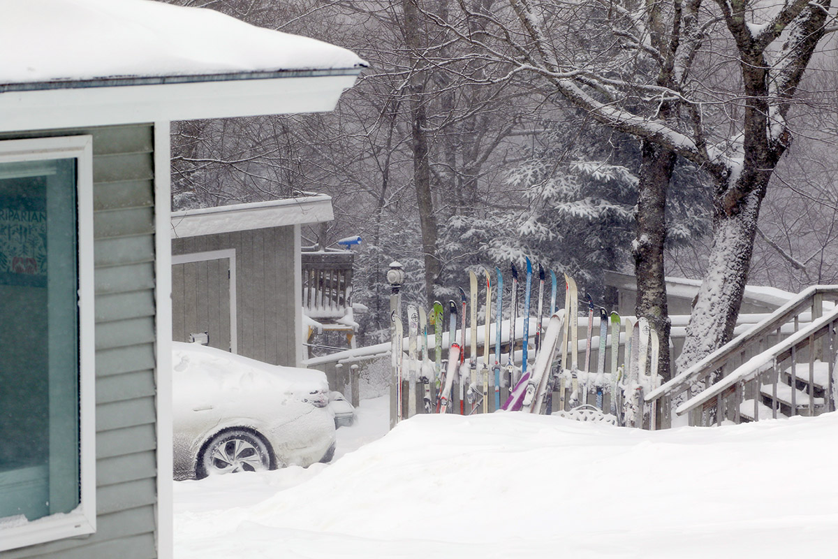
Skis all lined up at one of the houses along the Wilderness Chair and ready to go out into all the new snow that’s fallen from Winter Storm Olive.
I didn’t have an opportunity to get out on the hill yesterday to ski the new snow from Winter Storm Olive, but Dylan and Colin were out at Bolton, so they filled me in and I was able to see some of their GoPro footage. It was clear from their comments and videos that as of yesterday morning, the storm certainly hadn’t put down enough liquid equivalent for a full resurfacing of the slopes. Low to moderate-angle terrain was skiing quite well, and I saw some really nice footage of the potential for powder turns there, but it was obvious that on the steep stuff you were quickly down to that hard subsurface, especially if there had been even a bit of preceding skier traffic.
As of this morning though, our area has definitely picked up more snow than what was present on the boy’s outing. After the lull during the middle of the day yesterday, the snow picked back up in the evening and we had continuous snowfall to varying degrees right through much of today. There was little if any mixed precipitation that I saw down at our house, although I think there was a bit of sleet in one of rounds of accumulation later in the day yesterday, because my wife said she heard some ticks on the window, and the snow was on the denser side when I ran the liquid analysis. Here at our site, we’ve picked up over ⅔” of liquid equivalent from the storm as of this evening, and I’d say Bolton must have picked up over an inch of liquid equivalent based on the amount of new snow they’ve reported and my experience from the mountain today. As of this morning, the Bolton Valley snow report was indicating 12” of new snow in the past 72 hours.
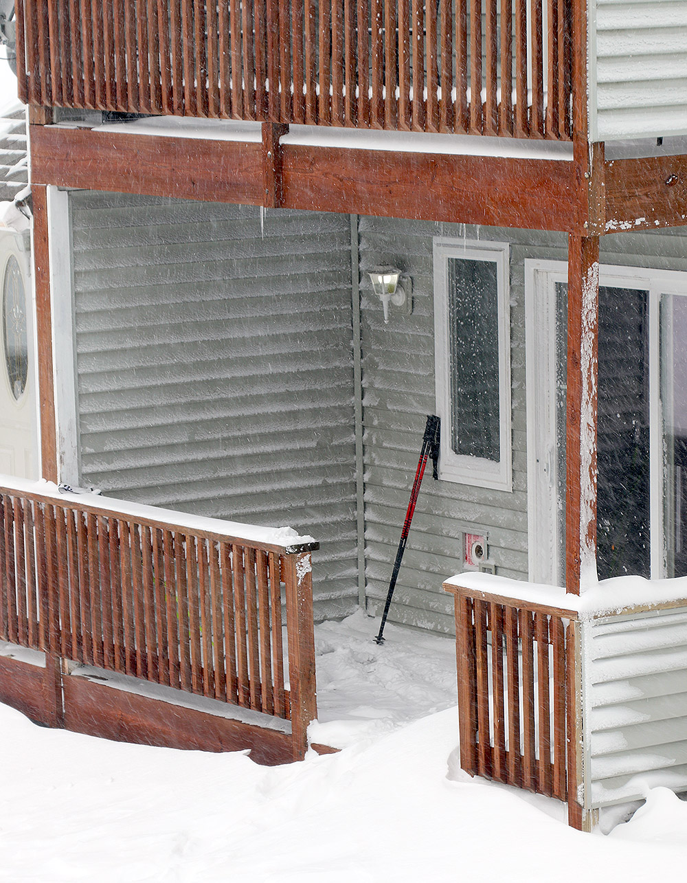
A classic scene from one of the condominiums in the Bolton Valley Village with drifting snow from Winter Storm Olive
When I headed up to the mountain for a tour this morning, it was snowing here at the house, but the intensity of the snowfall increased notably as I headed up in elevation. Although the flakes were relatively small, the snowfall rate up in the Bolton Valley Village at around 2,000’ was moderate to heavy. In addition, that snowfall was being driven by hefty winds. Winds were in the 30 to 50 MPH range, certainly hitting those upper numbers in gusts when I was up on the ridgeline above 3,000’. Temperatures were in the single digits F, so between the temperature, the winds, and the snowfall, it was downright nasty out there. I was quite comfortable while touring, but even with my hat, I kept my hood on for much of the tour ascent, so that speaks to the effects of those low temperatures and winds. Plenty of people were arriving in the morning to ride the lifts, but that must have been rough, and I was very happy to be down low to the ground out of the winds and generating plenty of extra heat.
“We’re now well past just the low angle terrain being optimal, and with the cold temperatures today and the increasing snow depths, low angle terrain was actually a bit slow. Mid-angle terrain was probably the sweet spot today, and steep terrain was actually nice as well if it was untracked or had seen minimal skier traffic.”
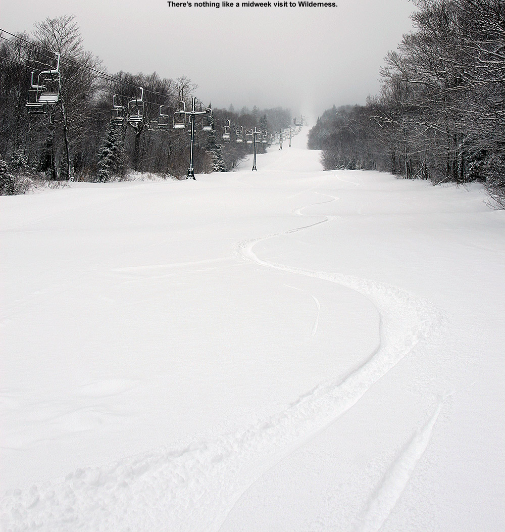
With its schedule, the Wilderness Chair hasn’t run since the storm started, so it was the obvious place to tour today for the best access to untracked snow. Throughout my tour, surface snow depths I measured were generally in the 8-10” range, with no big changes with respect to elevation. As of today, we’ve definitely moved beyond the level of resurfacing that my son experienced yesterday morning. We’re now well past just the low angle terrain being optimal, and with the cold temperatures today and the increasing snow depths, low angle terrain was actually a bit slow. Mid-angle terrain was probably the sweet spot today, and steep terrain was actually nice as well if it was untracked or had seen minimal skier traffic. You’re not going bottomless on steep terrain that’s seen substantial skier traffic yet; we’re going to need to get more liquid equivalent down atop the snowpack before that happens. But, the existing base is deep (depth is now 50” at the Mt. Mansfield Stake), there’s tons of terrain that was sufficiently resurfaced by this storm, and it looks like there are more potential storms in the pipeline in the coming days that could affect the area as well.
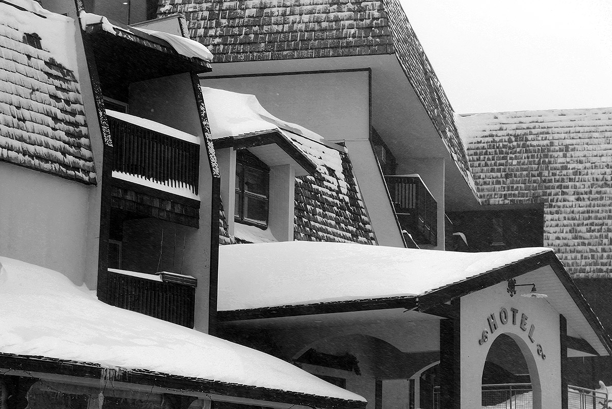
A view of the hotel this morning in the Bolton Valley Village with drifts of snow from Winter Storm Olive.
The fresh snow and plentiful sunshine out there today provided some beautiful midwinter views throughout today’s ski tour.
The back side of this most recent storm cycle seemed to show some promising potential for upslope snow in the Northern Greens, so this morning I made a quick survey of the snow reports from the resorts along the northern spine to see how things had worked out. With the Jay Peak snow report indicating 4 to 7 inches of new snow, and bwt’s measurement of 5.5 inches at 1,900’ from his place at Jay Peak, things were looking good there. Bolton, Smugg’s, and Stowe were reporting totals in the 2 to 4-inch range, so the Jay Peak area really seemed to be a cut above the other resorts. Temperatures rose above freezing in some areas during the middle of the storm though, so maximizing that resurfacing snow/liquid equivalent could make a substantial difference in the quality of the ski surfaces.
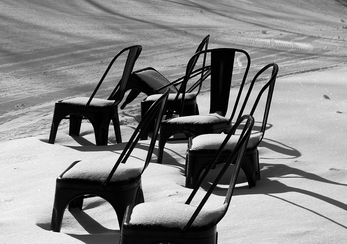
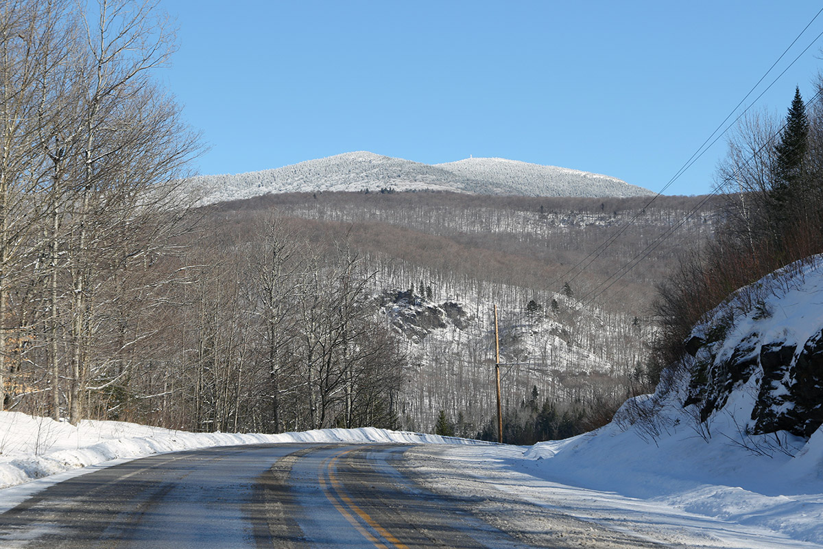
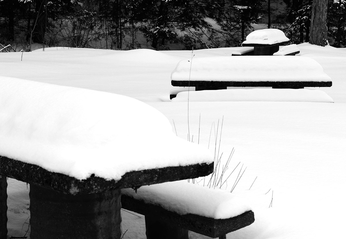
Picnic tables at a roadside park along Route 118 in the Montgomery area today showing some of the recent snow accumulations
E was heading up to Morrisville to deliver some food to a colleague and do some snowshoeing, so I decided to pop up to the Jay Peak area for a bit of touring, and we coordinated our trip. New accumulations of snow were present everywhere from Waterbury on northward, but they really started to pick up once I got to Eden and points father north. You could tell that the storm had hit harder up there. With road maintenance and some sun, I was generally dealing with slushy accumulations on road surfaces, but those usual spots on Route 118 along Belvidere Pond and through the notch areas into Montgomery were wall-to-wall winter snow and required some extra caution.
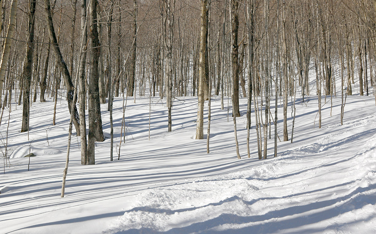
Checking out some of the ski terrain below Little Jay on my ascent today.
My tour was in the Big Jay Basin area that I’ve visited various times before, since it has convenient parking and some decent lower to moderate angle slopes along with its steeper lines. It also has that leeward exposure from Jay Peak, Big Jay, and Little Jay, so it absolutely reels in the snow. The past couple of times we’ve visited the basin, we’ve toured the terrain more toward the north side below Big Jay, but for this tour I decided to favor a bit more toward Little Jay to the south. I’d heard good things from some of my students about the terrain there, so as skin tracks diverged on my ascent, I generally opted for those heading more southward toward Little Jay. As I approached Little Jay, I could see that the terrain was getting steeper than I was looking for with the most recent accumulations, and slightly less pitched terrain was more prevalent off to the north, so I followed a skin track that was heading right through the terrain that looked the best for my plans. That skin track brought me into that drainage below the col between Big Jay, and Little Jay, and the lower sections there do have some nice pitches that avoid the really steep stuff. My goal was to get in a moderate tour’s worth of skiing and exercise with about 1,000’ of vertical, so with the trailhead elevation a bit shy of 1,600’, I was shooting to stop my ascent around 2,500-2,600’. Once I’d hit that level, I contoured back toward the south a bit along the side of Little Jay to get into more untouched snow, and dropped in from there.
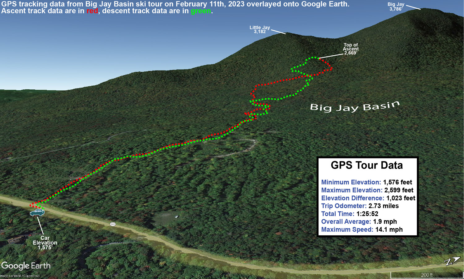
A Google Earth Map with GPS tracking data from today’s backcountry ski tour in the Big Jay Basin area
In terms of the snow quality, it far exceeded my expectations. Accumulations of new snow were very much as expected – I measured about 5 inches of new snow around 1,600’ at the trailhead, and that matched up perfectly with what the resort and bwt had reported in the morning. Accumulations probably increased by another inch about 1,000’ higher, but this didn’t appear to be one of those storms with heavy snow accumulation gains as elevation increased. What impressed me most was when I encountered at least a couple feet of bottomless powder in the drainage below the col. In that area, there were no signs that there had been any sort of significant warmth or rain. It was great to watch all the skiers and riders out there taking advantage of the great snow, and their whoops and hollers could be all over the place throughout the basin, just as you’d expect with great conditions. Aspect mattered in terms of snow quality though. The farther I wrapped around Little Jay toward southern exposure, the more I was skiing on just the new snow, and there was actually a detectable layer atop the old snowpack. Seeing this, I moved back toward the north as I descended in order to get into the best snow. I just found it surprising that it was really only southern aspects where the snowpack had consolidated, because that would represent more effects from sun vs. general warmth. Whatever the case, non-southerly aspects held some excellent bottomless powder out there.
Temperatures on the day were perfect, with mid to upper 20s F keeping the snowpack wintry. Skies were clear and sunny though, and you could tell that the mid-February sun was trying to work on that powder on southern exposures. Temperatures seemed just cold enough, and/or the air was just dry enough, to keep that from happening.
It looks like we might have a system coming through the area tomorrow night that could do something similar to what the back side of this system did, so we’ll see if that adds another few inches to freshen things up again.
The quality of the powder out on the mountain today was excellent – even south-facing Alchemist had soft, fluffy conditions.
I hadn’t been out for any turns since last Sunday when I toured in the Nebraska Valley, so I was eager to see what the mountains had to offer yesterday once the arctic cold departed. At the end of my tour last weekend, temperatures had risen above freezing in the lower elevations, and then we had those potent winds with the arctic front, both of which could have been insults to the quality of the snow surfaces.
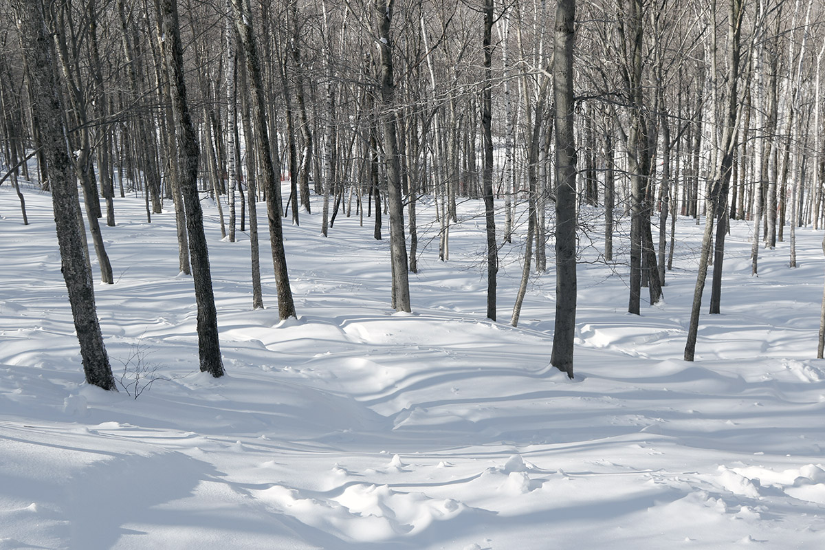
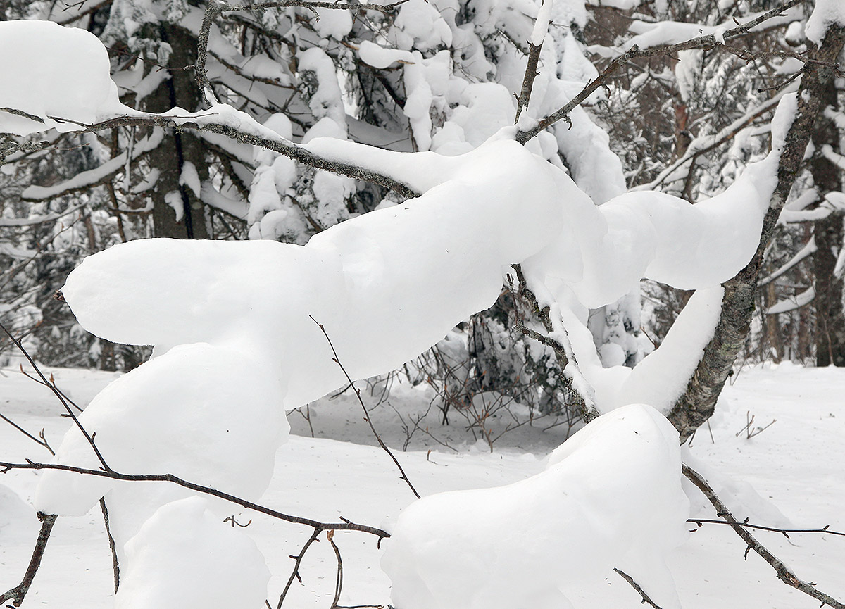
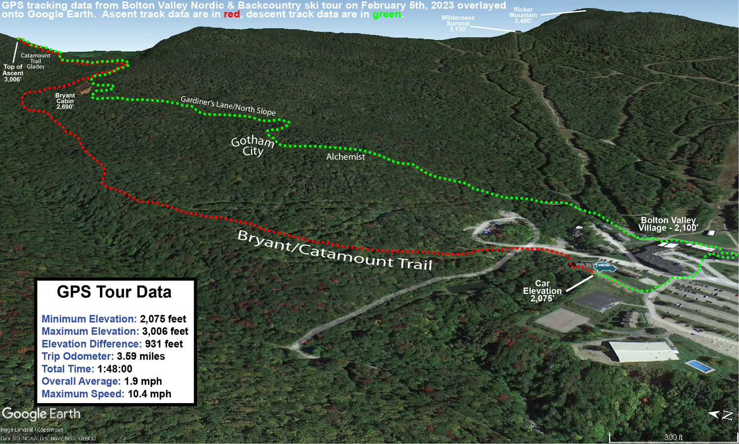
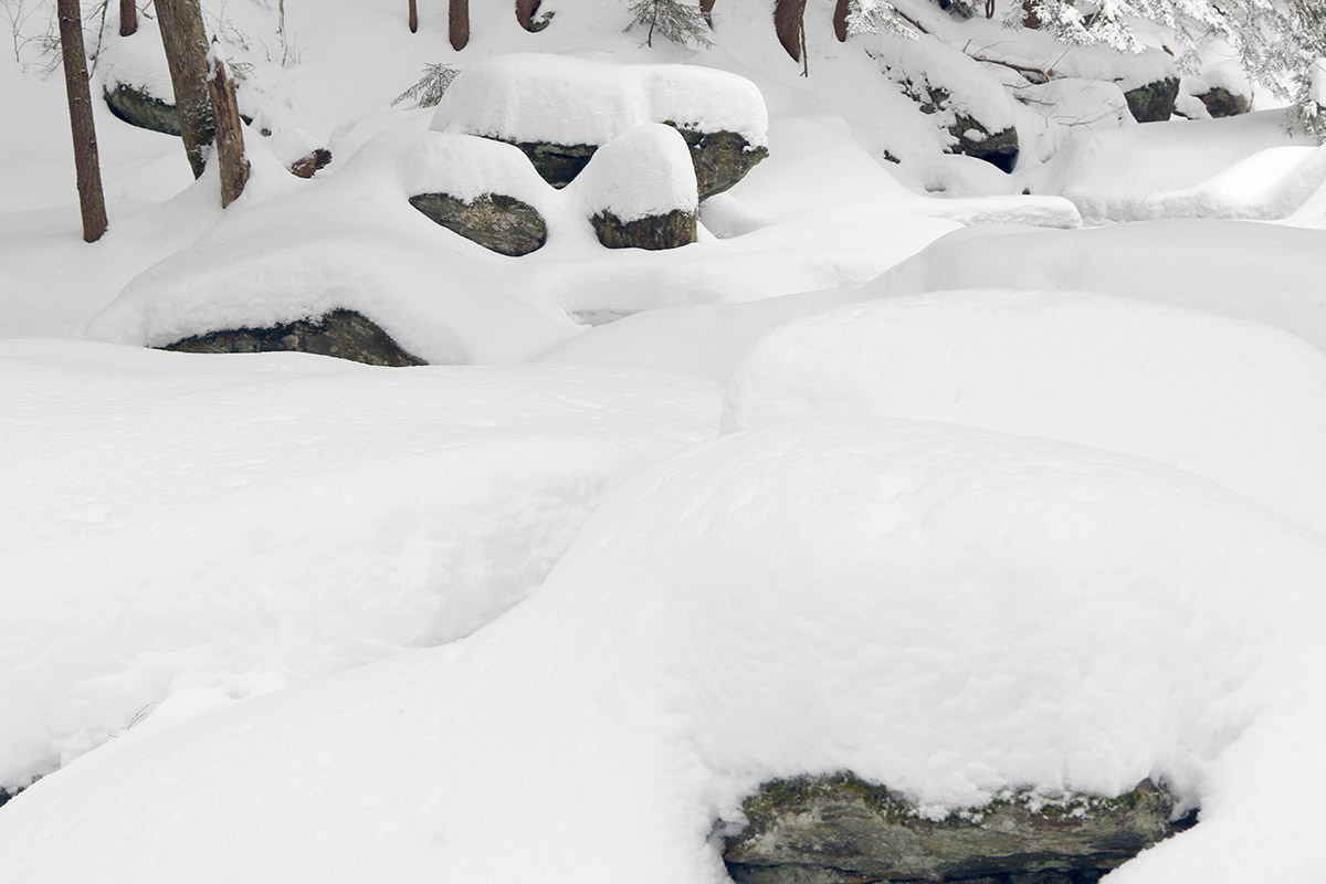
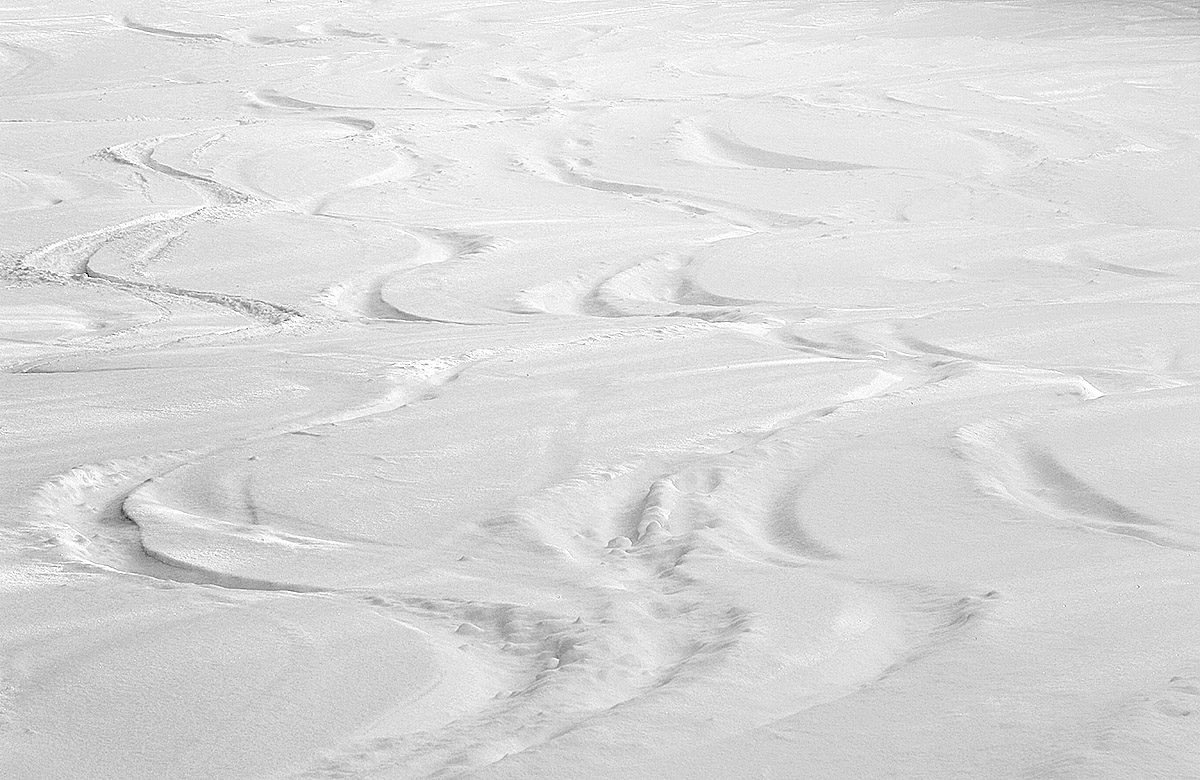
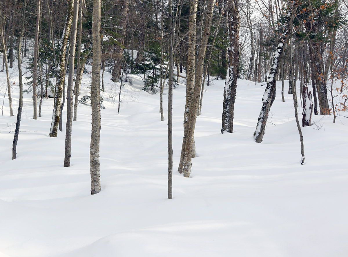
Some of the snow formations out there in the forest today that were left behind by recent upslope snows.
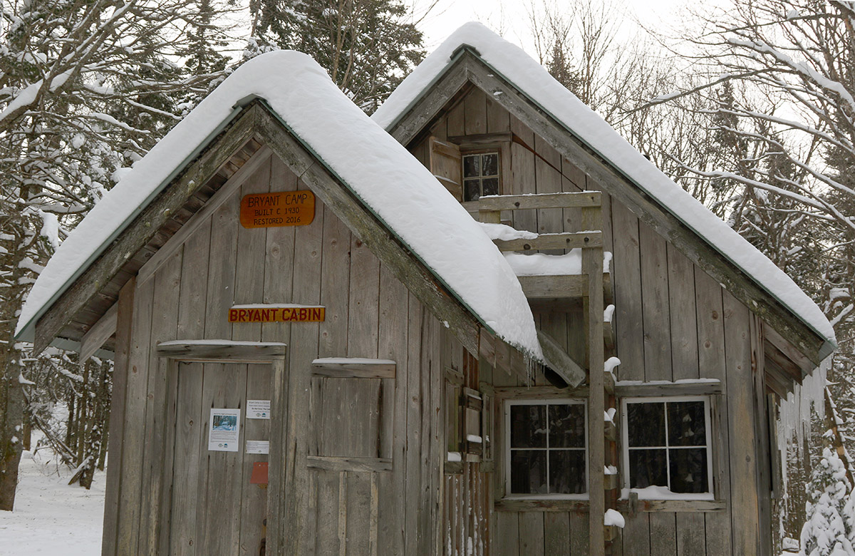
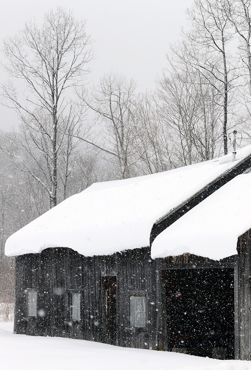
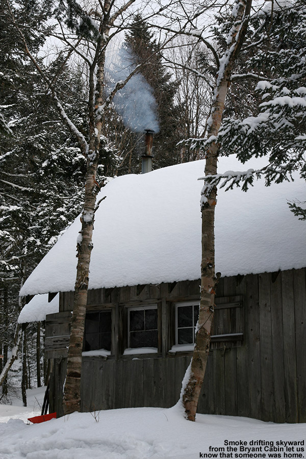
Today my plan was to keep my skiing fairly simple and close to home, and I decided to tour on the Bolton Valley Nordic and Backcountry Network. I figured I’d tour up to Bryant Cabin, check out the snow quality, and decide from there if I was going to go any farther. I was brining minimal camera gear for this outing, so I borrowed Dylan’s backcountry ski pack instead of using my larger one, and I opted for mid-fat Teles instead of going with full fats. I was definitely feeling light and fast with that setup, and hit Bryant Cabin in under 30 minutes, so I felt that I easily had time to extend my tour. In addition, the quality of the snow was far better than I’d expected. We haven’t had a major storm cycle since Winter Storm Kassandra about a week ago, so I didn’t really expect the powder to be very fresh. Those concerns were sidelined right at the start of my tour though – I did numerous depth checks on my ascent, and even down at 2,000’, the surface snow was 15-20” deep above the base. Whatever warming had taken place last weekend was clearly below the 2,000’ elevation range. I’d heard secondhand that the freezing level was somewhere down around the Timberline Base (1,500’), and I guess it never rose much higher than that. The other concern about the snow had been the effects of the wind, but any drifting and wind crusts were few and far between on the terrain I covered up to Bryant Cabin and beyond. I ran into many areas where the trees were just caked and choked with upslope snow clinging to every branch at various crazy angles, and snow doesn’t stay like that when it’s been hit by heavy winds.
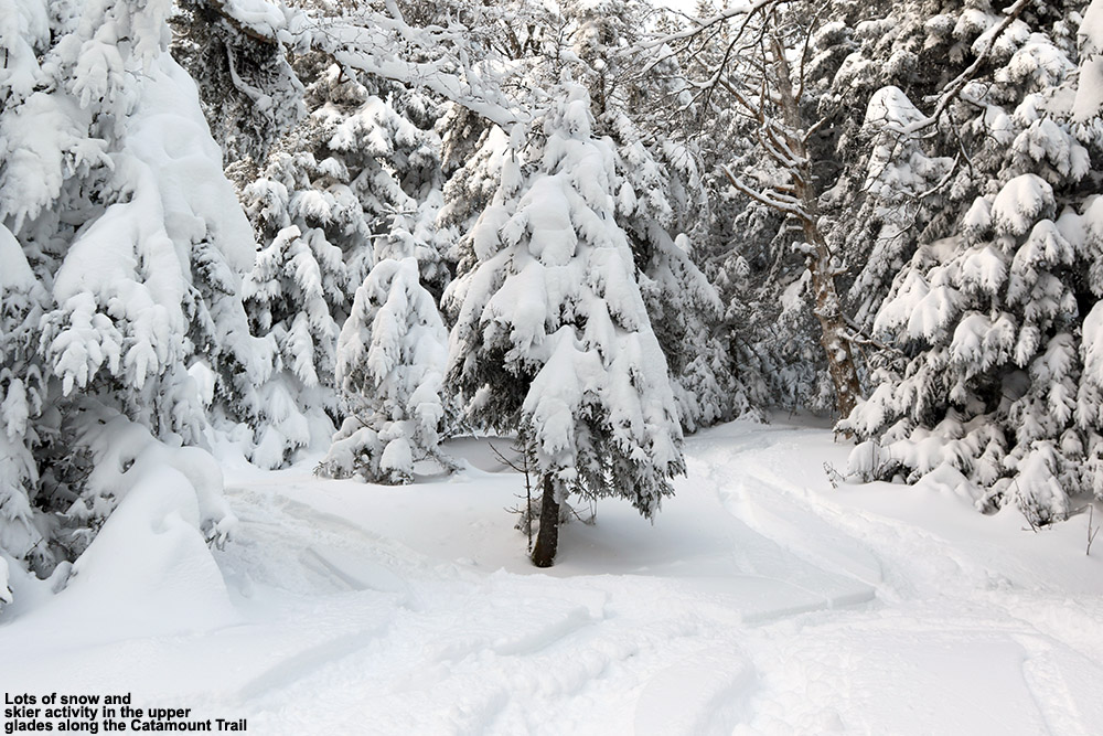
Finding the snow quality so impressive, I actually decided to continue my tour all the way up to the top of the Catamount Trail Glades around 3,000’ and the powder just kept getting deeper. Estimates of surface snow depths that I found on my tour were as follows:
2,000’: 15-20”
2,500’: ~20”
3,000’: 20-25”
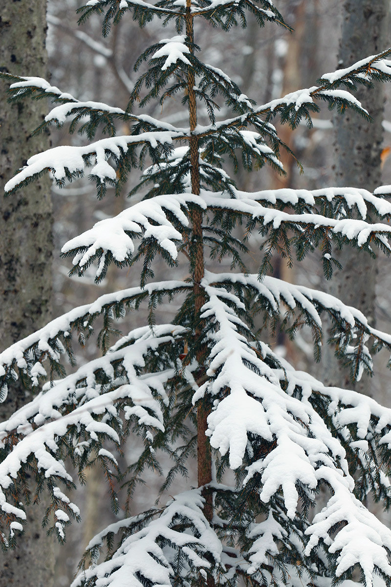
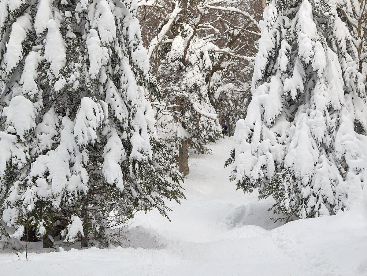
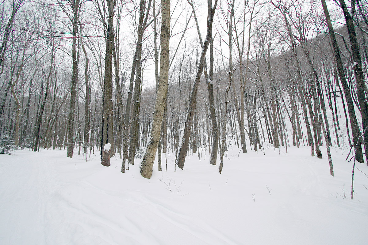
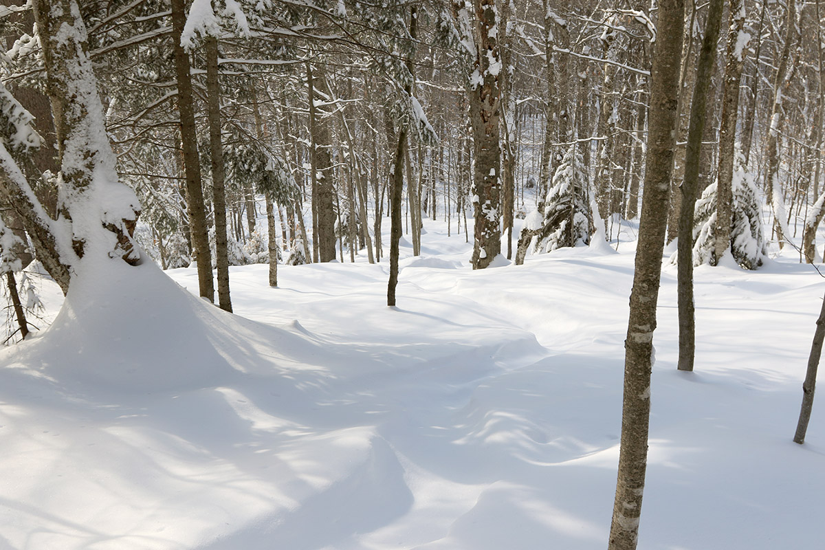
The evergreens were loaded with snow from recent storms, making for quite a winter wonderland out on the Bolton Valley Nordic and Backcountry Network today.
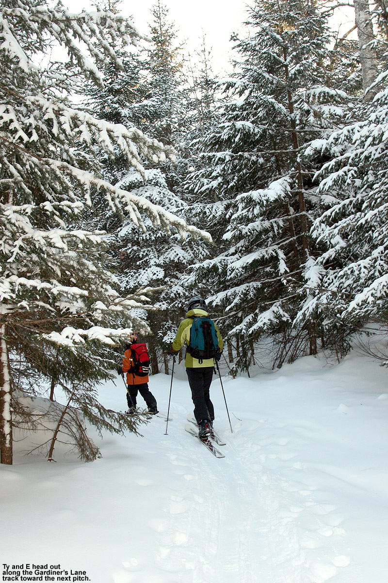
Untracked areas up in the Catamount Trail Glades were two feet of bottomless powder, and you could easily be fooled into thinking we’d just had a major storm cycle in the past couple of days, not a week ago. For the rest of my descent I headed down past Bryant Cabin along Gardiner’s Lane and North Slope, and finished off with a connect to Wilderness via Alchemist. The conditions on Alchemist were perhaps the biggest testament to the quality of the snow, because that area has a hard-core southerly exposure, and things have to be prime to get real quality powder turns there. I’d say that today I encountered some of the best conditions I’ve ever seen on Alchemist, so the snow over the past week or so has been extremely well preserved.
A Google Earth map with GPS tracking data of today’s ski tour on the Bolton Valley Nordic and Backcountry Network.
It was hard to get a sense for the total snowpack depth while I was out on my tour because it’s getting too deep to probe easily, but the Mansfield snowpack at the stake is at 42”, so the snowpack depth is probably just a bit less than that as you drop to around 3,000’. While that Mansfield snowpack is a foot below average, we’re getting to the point in the season where being below average is less and less relevant in terms of off piste coverage and skiing quality. We’re past that 40” mark at the stake, and all the terrain I encountered yesterday was game on, regardless of pitch or obstacles. I ran the snowpack liquid analysis this morning down at our site in the valley for CoCoRaHS, and there’s 3 inches of liquid equivalent in our snow. The local mountains probably have double that amount at elevation, so it’s easy to see why the off piste skiing is so good. If you have 6 inches of liquid equivalent under your feet, that’s going to take care of a lot of terrain, even relatively steep terrain.
Overall, today was fantastic, both in terms of the temperatures and in terms of the snowpack/snow quality. Temperatures were in the 25-30 F range when I hit the mountain in the afternoon, which was perfect for comfortable skiing while retaining those soft, midwinter snow surfaces.
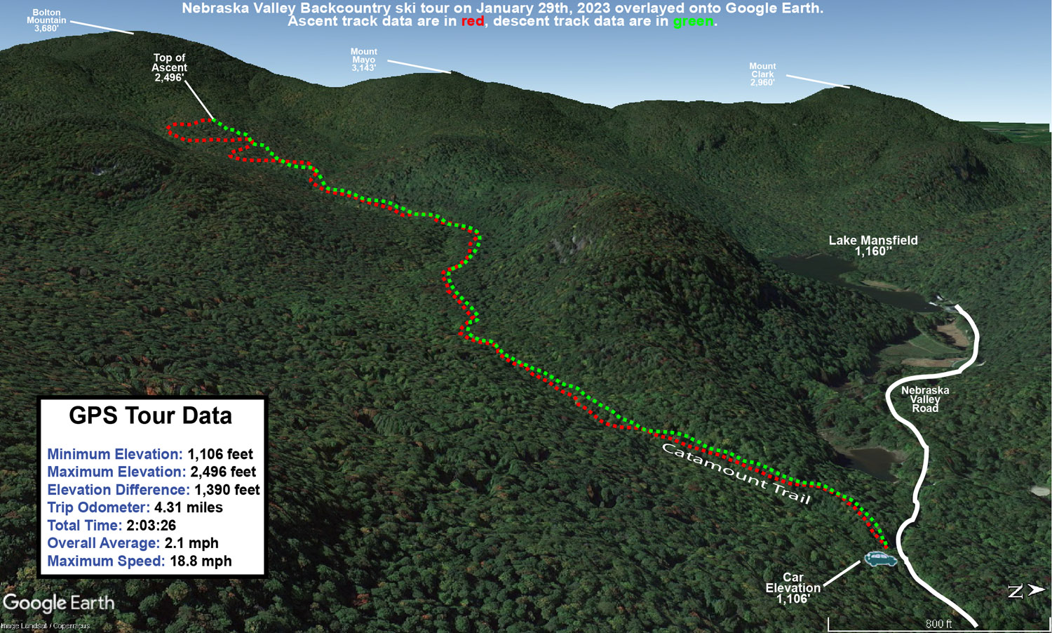
Some of today’s snowfall as I enjoy the views on my trip through the Nebraska Valley up to the Catamount Trail
With the strong snowpack in the area now, I decided to head out to the Nebraska Valley for some ski touring today. The last time I toured in the Nebraska Valley I was on the valley’s north side, but I’ve now heard from multiple students of mine that the south side of the valley offers some great skiing off the Catamount Trail. I didn’t have too much information beyond the fact that you can just use the Catamount Trail as a collector for the ski terrain in the area, but it sounded pretty straightforward, fun, and convenient.
I was able to park right at the Catamount Trail parking area on the south side of Nebraska Valley Road, so the trail access was very easy. It had started snowing around midday, and there was steady snowfall through much of my tour in the afternoon. Following the Catamount Trail southward, the options for great backcountry skiing are indeed very obvious. From the trailhead at an elevation of ~1,000’, the trail rises at a moderate grade for about 400 feet of vertical over the course of perhaps ¾ of a mile, and then the terrain flattens out into a relatively broad valley with the main drainage on your left, and steep slopes rising up to your right. The slopes consist of very open hardwood forest throughout, with tree spacing in many areas as much as 20 or 30 feet. I couldn’t see all the way to the top of the terrain, but there must be hundreds of acres there with very obvious ski lines, and the fact that there were tracks coming down out of this terrain suggested that it held good potential. At around a mile from the trailhead I came to the first obvious skin track that headed up off the Catamount Trail into these slopes, so using that was a clear option for some great runs.
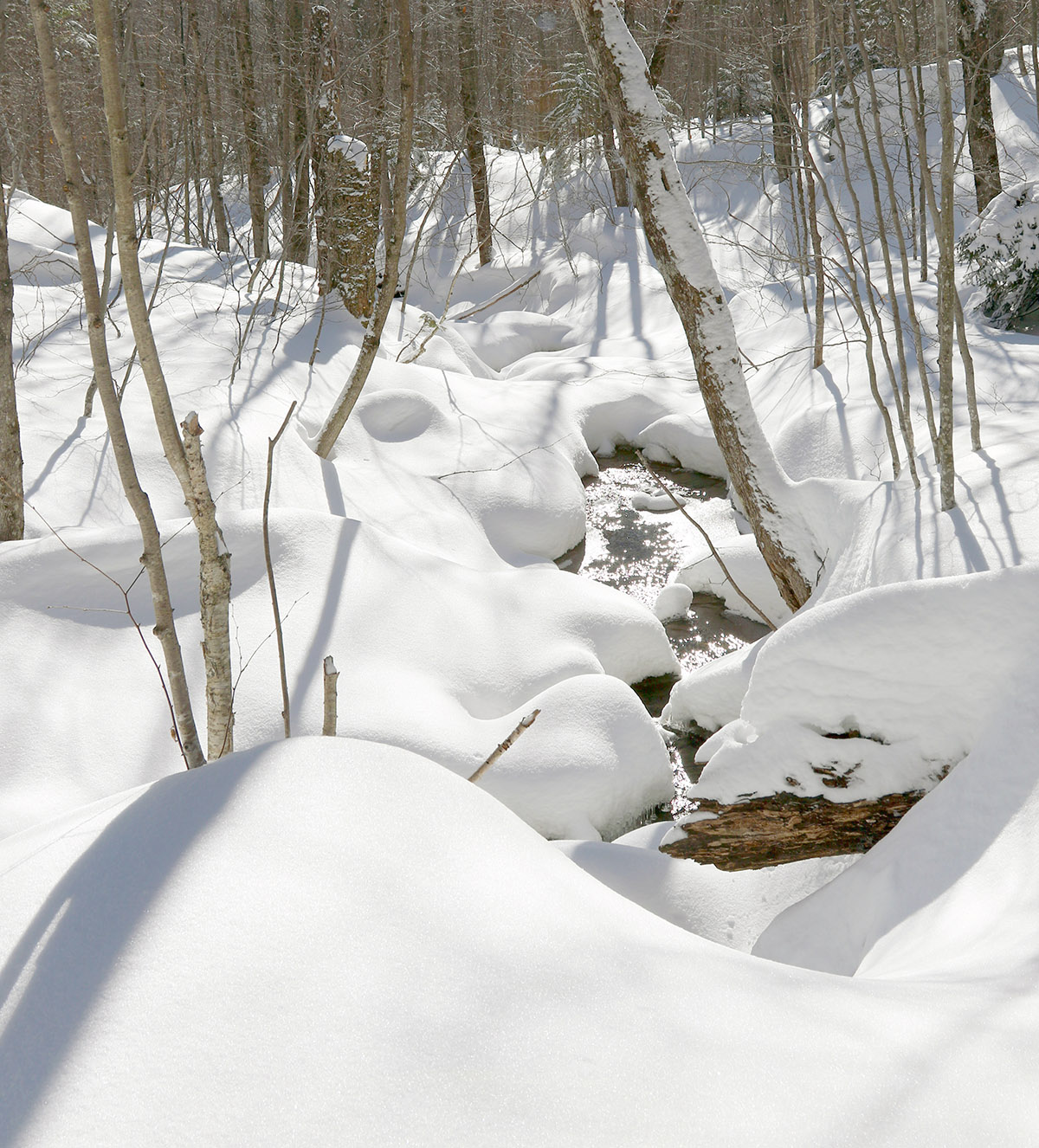
I was able to enjoy gorgeous midwinter views of the ice and snow on the local tributary of Miller Brook as I made my way up the Catamount Trail.
I just happened to run into one of my students descending on the Catamount Trail as he and his group were finishing up their session for the day, and he said that if I had the time, I should head higher up because the snow was better. Being my first time in the area, I did want to take a long enough tour to get the lay of the land, so I continued another mile or so and toured up to around 2,500’. The snow was indeed even better higher up, but the tree lines weren’t as open as the beautiful looking terrain I’d seen lower down. That higher elevation terrain was plenty steep, and certainly offered decent skiing, but I’d say those initial slopes rising from the valley at around 1,500’ are the best bang for your buck as long as the snowpack and snow quality are good at those elevations.
It was snowing quite hard up at 2,500’ when I began my descent, hard enough that I would have been worried about being out there in such weather if I didn’t know the forecast wasn’t calling for sustained accumulations. The snow had added another couple of inches to top off the snowpack, which certainly helped make the powder even a bit fresher. Temperatures had been cold much of the afternoon, but on my descent I quickly realized that the freezing level had risen. I descended out of the heavy snowfall down into mixed precipitation by ~1,500’, and just sprinklings of rain down at the trailhead elevations of ~1,000’. I was glad that I’d finished my tour by that point because the lower elevation snow was definitely getting sticky and more difficult to ski.
A Google Earth map with GPS tracking data of today’s backcountry ski tour along the Catamount Trail in the Nebraska Valley
It was great to be back at Timberline for some ski touring and powder turns this morning. Thanks to Winter Storm Kassandra and other recent storm cycles, the Timberline area has moved into midwinter form.
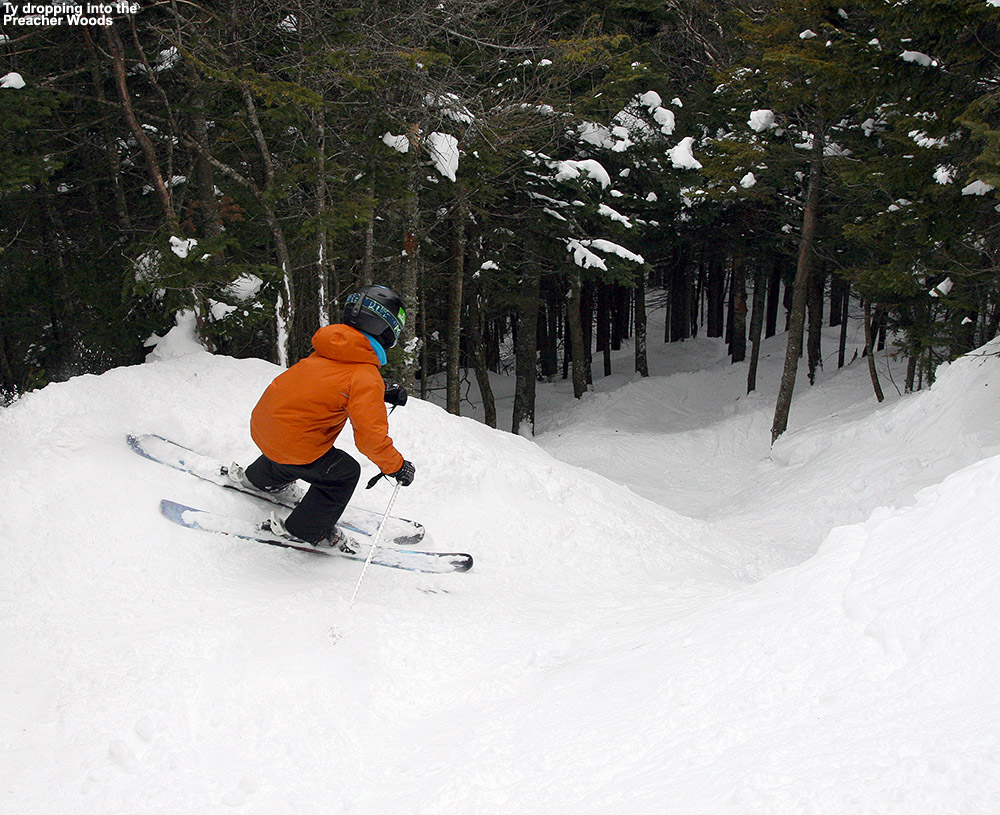
I was too busy yesterday to hit the slopes and check out the new snow from Winter Storm Kassandra, but Dylan was out at Bolton for some runs and said the skiing was excellent. He told me that he and Colin got third tracks down Preacher, which must have been pretty amazing. The snowfall continued right through the day yesterday though, and there was a decent signal for upslope snow on the back side of the storm cycle, so it seemed like today would hold some promise for great turns as well. My drive home from Burlington yesterday evening went from partly cloudy conditions in the Champlain Valley, to gradually increasing snowfall as I pushed farther into the mountains, to a pounding of huge flakes by the time I got home. The roads were snowy, but the visibility was the tougher part of the drive. When I measured the snowfall rate at our house yesterday evening, it was up in the 2 to 3-inch per hour range for a while, so the flakes were building depth quickly. And not surprisingly, those huge flakes were stacking up with impressive loft. When I ran a snow analysis at midnight, the stack density came in at 2.3% H2O. We haven’t really had a lot of upslope snow on the back side of storm cycles this season, but we got some this time, and it suggested good things by morning with respect to the skiing.
An untracked Spell Binder ready for some turns this morning
This morning I was on my way up to earn some early turns at Wilderness, when I passed by Timberline and realized the timing was right for the Timberline Uphill Route to be open. The snowpack has thus far been thin down at those lower elevations, but Kassandra definitely seemed to push it over the top and I had my first Timberline outing of the season. We had some outstanding powder skiing around here in mid-December, but I think today’s turns might have just edged out that period to set the new bar for the season. The snowpack was surprisingly robust during that December stretch, but the fact that we’ve now had multiple winter storm cycles, multiple inches of liquid equivalent going into the snowpack, and a skiable snowpack that reaches down even to the Timberline elevations, means a lot. The turns today were so very bottomless and effortless with all the new champagne on top, so it was certainly one of the premier days of the season thus far. Bolton is planning to run the Timberline Quad tomorrow for the first time this season, so that’s a sign that we’re really moving into prime time. They’re also planning on some nice additions to celebrate the day like free coffee, and a visit from the El Gato Food Truck, so it should be a fun way to get Timberline rolling for the season.
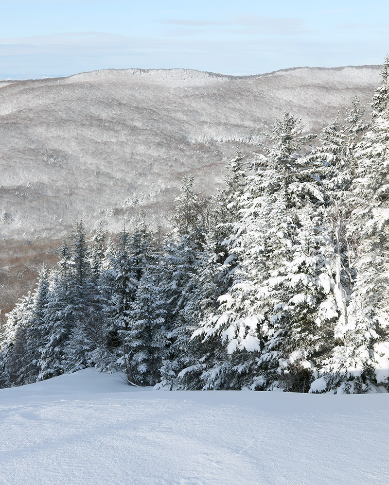
A view to the southwest from atop Spell Binder this morning, with the Green Mountains very much in their white winter mode
Enjoying some of Bolton’s fresh powder during this morning’s ski tour thanks to Winter Storm Jimenez
I headed up to the mountain this morning to catch a quick ski tour and check out the snow we’d received from Winter Storm Jimenez up to that point. Bolton was indicating 4 to 5 inches of new snow as of the morning report, and that’s what I found fairly consistently in touring from 2,100’ up to around 2,700’ on terrain that had previously been packed. Turns were generally bottomless with 115 mm width skis on low and moderate angle terrain, but the quality of the turns was bolstered by the fact that the subsurface continues to improve with each storm. That dense mid-month storm really substantiated the base, and Winter Storm Iggy added some drier snow atop that, so the depth and quality of the snowpack is improving by leaps and bounds. There have been additional accumulations today from a strong cold front passing through the area, and the next synoptic system in the queue is expected to impact the area tomorrow night and has been named Winter Storm Kassandra. That system seems to have a bit more potential for some upslope snow on the back side, and I’ve seen storm total estimates as high as 12 to 18 inches for the local mountains, which would represent another great addition to the snowpack.
Views of some of the recent snow from Winter Storm Jimenez on my drive to Bolton Valley this morning


