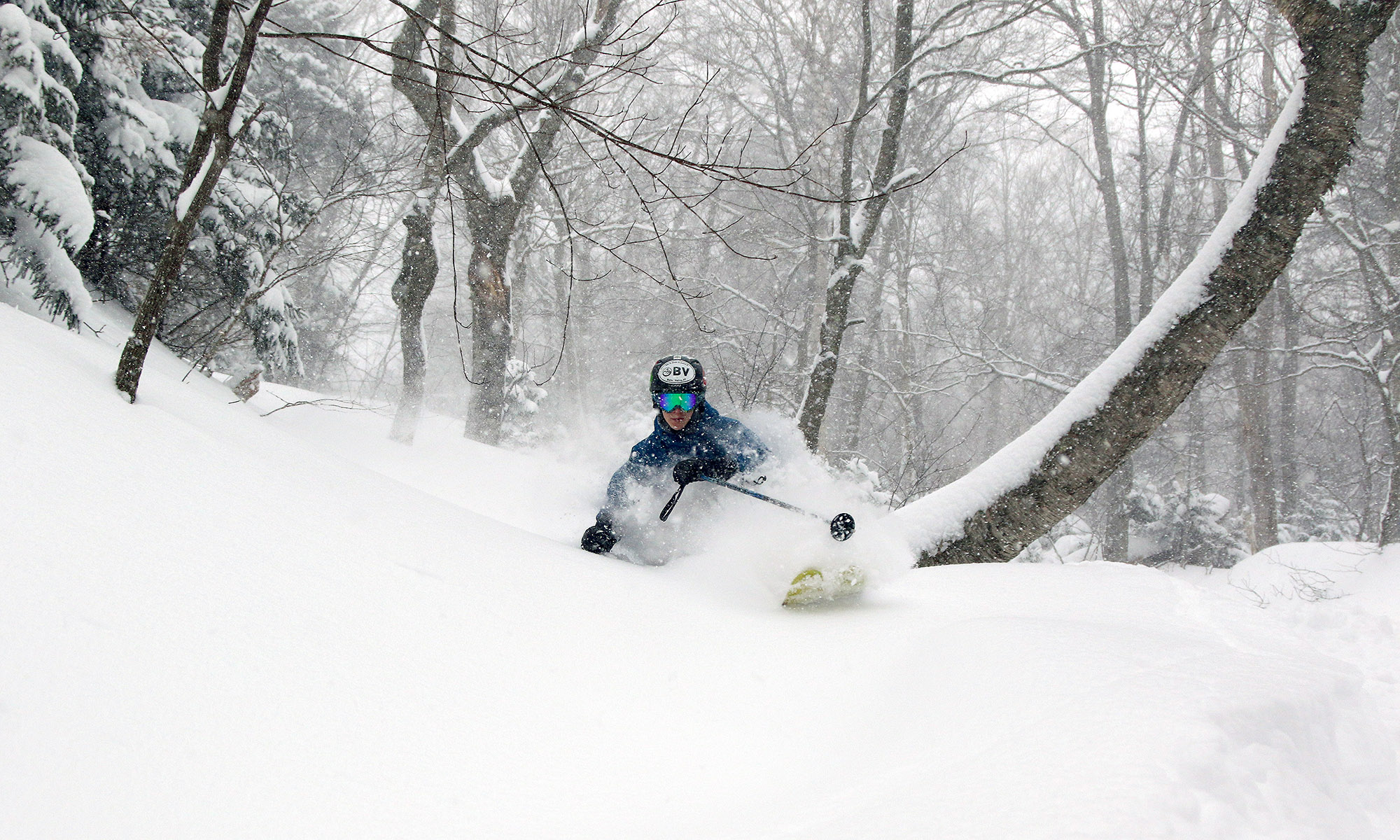
Good powder in the local mountains

Jay in the powder at Bolton valley
Jay skiing the powder at Bolton valley yesterday

Waterbury event totals: 2.8” Snow/0.06” L.E.

After that quick inch of snow we picked up yesterday, that was it for snowfall down here at the house as far as I can tell.  We were back up at Bolton for some more turns starting around midday, and it was snowing pretty hard for the first part of the afternoon.  Friends that we met up there said that it had snowed like that all morning.  It’s nice to see what’s going on up at Jay, because they were a bit left out of the pattern earlier in the season with so much activity focused to the south.  I’ve added the 7-day and seasonal snowfall totals for some of the VT resorts below:

Jay Peak: 30” (359”)
Stowe: 18” (311”)
Bolton Valley: 14” (316”)
Killington: 4” (251”)

Right now the snowpack is 98 inches at the Mt. Mansfield stake, and if one looks at the SkiVT-L plot for the snow depths, this is right around the date for the typical maximum.  The historical data suggests a small dip after the end of March, but the snowpack really seems to hang around at this level until roughly mid April before it actually starts to fall off., so I could see the peak snowpack depth being anywhere in that range, especially with the current weather pattern.
1.4 inches of snow here in the valley

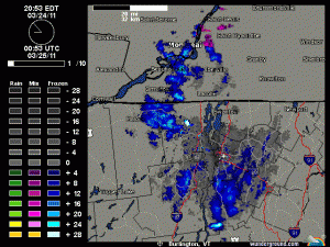
Radar image from BTV
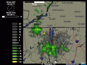
Last night the snowfall was fairly scattered, but then it started to explode along the western slopes of the Greens. Click on the image to see the animation.

The upslope snow picked up last night and gave us a nice new coating of a bit over an inch down here, while up at Bolton they picked up a couple of inches.  I added the radar image from yesterday evening showing how the snowfall exploded along the western slopes of the Greens.  More details are in my morning post at Americanwx.com.

A little upslope tonight

Radar image from BTV
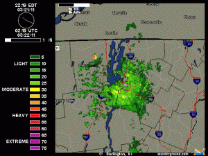
Some light upslope snow showers are passing through the area this evening

There’s a bit of snow falling and accumulating here, so presumably the mountains are getting some as well.  It’s all small flakes that I’ve seen falling in the past 15 minutes, but I guess some larger flakes fell earlier because there are some huge globs on the snowboard and a couple tenths of an inch of accumulation.  I’ve added the latest radar shot with this post.

5.3 inches at the house, 8 inches for the mountain

BTV Radar Image
The streamers of moisture heading into our area at around 10:45 P.M. last night

We picked up 5.3 inches of total snow with this event down in the valley thanks to the second burst of snowfall that came through last night, and up at Bolton Valley as well as Stowe, they picked up a total of 8 inches of snow.  I’ve added a picture of the radar image from around 10:45 P.M. last night that shows the snow still streaming into the area.  I’ve added the north to south list of storm accumulations for the Vermont ski areas below, and additional details can be found in my morning update in the Northern New England thread at Americanwx.com.

Jay Peak: 6″
Burke: 5”
Smuggler’s Notch: 5”
Stowe: 8”
Bolton Valley: 8”
Mad River Glen: 5”
Sugarbush: 5”
Pico: 4”
Killington: 4”
Okemo: 5”
Bromley: 2”
Stratton: 4”
Mount Snow: 3”

Four inches and counting…

BTV Radar Image
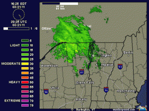
The second round of precipitation approaching the area this evening

As of 8:00 P.M. we’ve had about 4 inches of snow here at the house, and it looks like there’s still a bit of snow to go.  We got a surprisingly good shot of snow this evening after the main round earlier today; I’ve added a radar shot of the evening snowfall as it was coming into the area.  More information can be found in my evening update at Americanwx.com.

First snowstorm of the spring is on the way

Storm total snowfall graphics for VT/NY
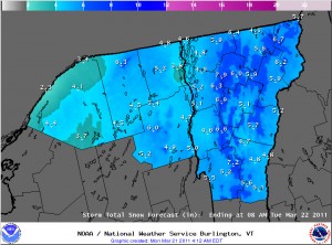
The storm total snow forecast from the Burlington National Weather Service, click for the full-size image

The forecast calls for the first spring snowstorm to come into our area today.  It sounds like it could be close to a foot for some of the local mountains, but some of the latest thoughts in the Northern New England thread at Americanwx.com are that the northern parts of the area might be out of the more substantial moisture.  We’ll just have to see how it plays out, but it seems like at least some snow is on the way.  I’ve added in the accumulations map from the National Weather service in Burlington this morning, and additional details can be found in my post in the Northern New England thread at Americanwx.com.

Next chances for snow coming in: Thursday through Sunday

It looks like the next snow event in our area is on tap for tomorrow, with low pressure tracking into Southern New England. Checking in on the discussion from the National Weather Service office in Burlington, the snow level is expected to rise to the 1,500’ to 2,000’ range, with mixed snow and rain below that. The point forecast for our elevation in the Winooski Valley at ~500’ suggests 1 to 3 inches of snow in the Wednesday timeframe, with a bit more possible on Wednesday and Thursday nights. In his broadcast this morning, Roger Hill was suggesting the potential for a couple of inches of snow tomorrow morning affecting the commute. Point forecasts for the higher elevations to our north have 2 to 4 inches in the Wednesday timeframe, and farther to the south, 3 to 5 inches is coming up where the NWS says a good combination of the surface track placement and 500 to 700 mb lift get together. After that, the next storm is expected to come into the area Thursday, and provide precipitation chances through Sunday. It’s another warm system, but there will be chances for snow, especially in the higher elevations.

Wet snow falling in the valley this morning

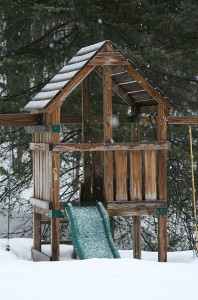
Snowfall and new snow on the playset out back
When I woke up, wet snow was falling and new snow was accumulating on the playset out back.

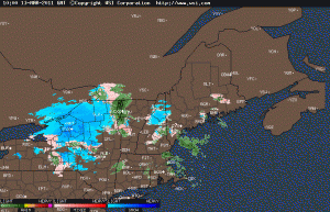
I woke up to find wet snow falling here at the house. I’ve added an image of the new snow from out back, and the Intellicast colored radar image as well. Full details are in my morning report to the NNE thread at Americanwx.com.

Northeast Intellicast colored radar for the morning of March 13th
Snow heading into the Northern Vermont area this morning on the Intellicast colored radar