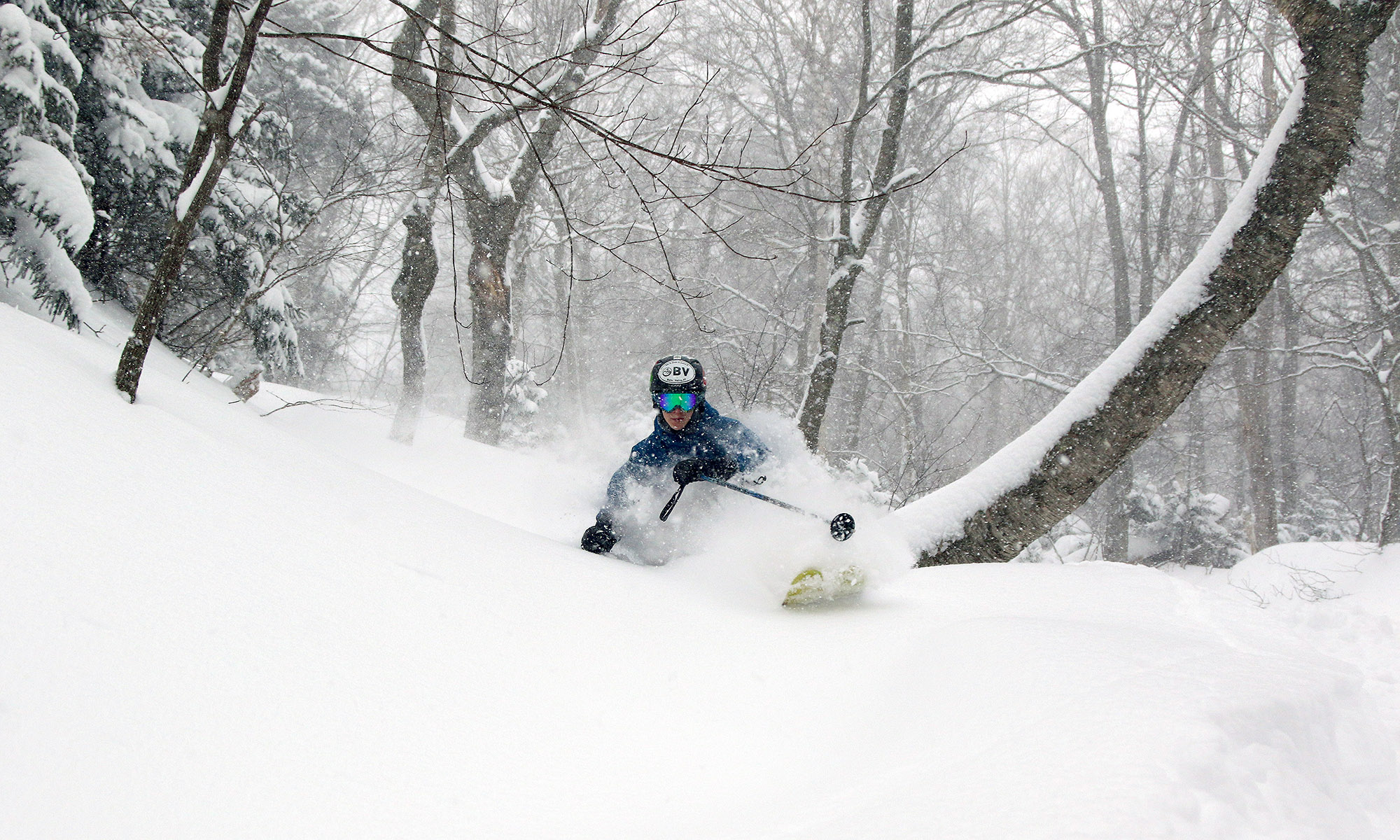
We picked up 0.3 inches of snow this morning that I hadn’t really been expecting. That puts us at over 30 inches for the month of March, with the next couple of snow chances coming up this week. Additional weather details can be found in my morning update in the Northern New England thread at Americanwx.com.
Bolton Valley Nordic/Backcountry news
I recieved an update from Joyce Holsten this morning that the current sale of the large chunk of Bolton’s Nordic/backcountry terrain is not going through, although the parcel is still up for sale.
A little snow this morning
We did pick up a couple of tenths of an inch of snow this morning, but that was about it for this elevation. Some folks got a bit more in the higher elevations, and I saw reports of a few inches off the east in New Hampshire. Weather details are in my update in the Northern New England thread at Americanwx.com.
Next chances for snow coming in: Thursday through Sunday
It looks like the next snow event in our area is on tap for tomorrow, with low pressure tracking into Southern New England. Checking in on the discussion from the National Weather Service office in Burlington, the snow level is expected to rise to the 1,500’ to 2,000’ range, with mixed snow and rain below that. The point forecast for our elevation in the Winooski Valley at ~500’ suggests 1 to 3 inches of snow in the Wednesday timeframe, with a bit more possible on Wednesday and Thursday nights. In his broadcast this morning, Roger Hill was suggesting the potential for a couple of inches of snow tomorrow morning affecting the commute. Point forecasts for the higher elevations to our north have 2 to 4 inches in the Wednesday timeframe, and farther to the south, 3 to 5 inches is coming up where the NWS says a good combination of the surface track placement and 500 to 700 mb lift get together. After that, the next storm is expected to come into the area Thursday, and provide precipitation chances through Sunday. It’s another warm system, but there will be chances for snow, especially in the higher elevations.
Stowe, VT 13MAR2011
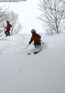
We were up at Stowe this afternoon, and while turns at Bolton yesterday were decent, turns today were even better becasue of all the additonal snow. It snowed all day from base to summit and a good 6 to 7 inches of powder was available off the gondola. More details and photos are in my Stowe report from today.
Wet snow falling in the valley this morning
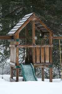
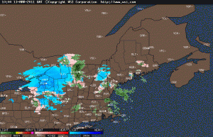
I woke up to find wet snow falling here at the house. I’ve added an image of the new snow from out back, and the Intellicast colored radar image as well. Full details are in my morning report to the NNE thread at Americanwx.com.
Bolton Valley, VT 12MAR2011
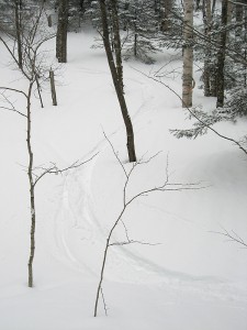
I headed up to Bolton Valley today to catch some afternoon turns, and the sking was pretty nice. There were a couple of fresh inches, and conditions varied from wintry up top with the surfaces helped out by the new powder, to borderline spring-like down low with the surfaces helped out by the warmer temperatures. The powder off piste was certainly vairable, but there were nice turns depending on elevation and aspect. More details and images are in my Bolton Valley, VT 12MAR2011 report.
Potential snowfall update
Over in the NNE thread at Americanwx.com, Powderfreak just mentioned the chance for up to 3 to 6 inches of snow in the next 36 hours, so we’ll be watching for that.
Snowing this morning
I just checked outside here and light snow is falling, but nothing that would accumulate at this point.
Dylan in the powder on the Stowe website
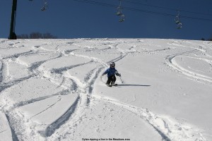
One of the pictures from our Tuesday visit to Stowe was added to the photo gallery on their website: it’s Dylan ripping up the powder in the Nastar Hill/Meadows area. Way to go Dylan! You can click on the image here to see it full size, there’s another version available in Stowe’s Gallery, or you can find it by browsing the gallery.
