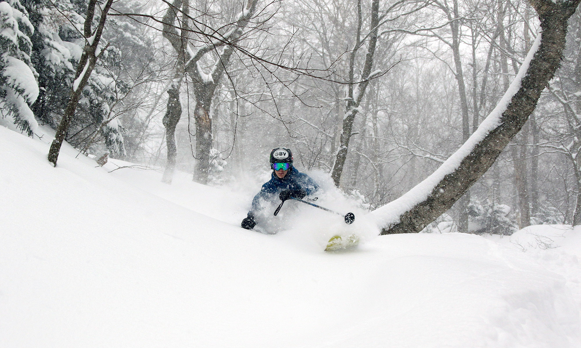
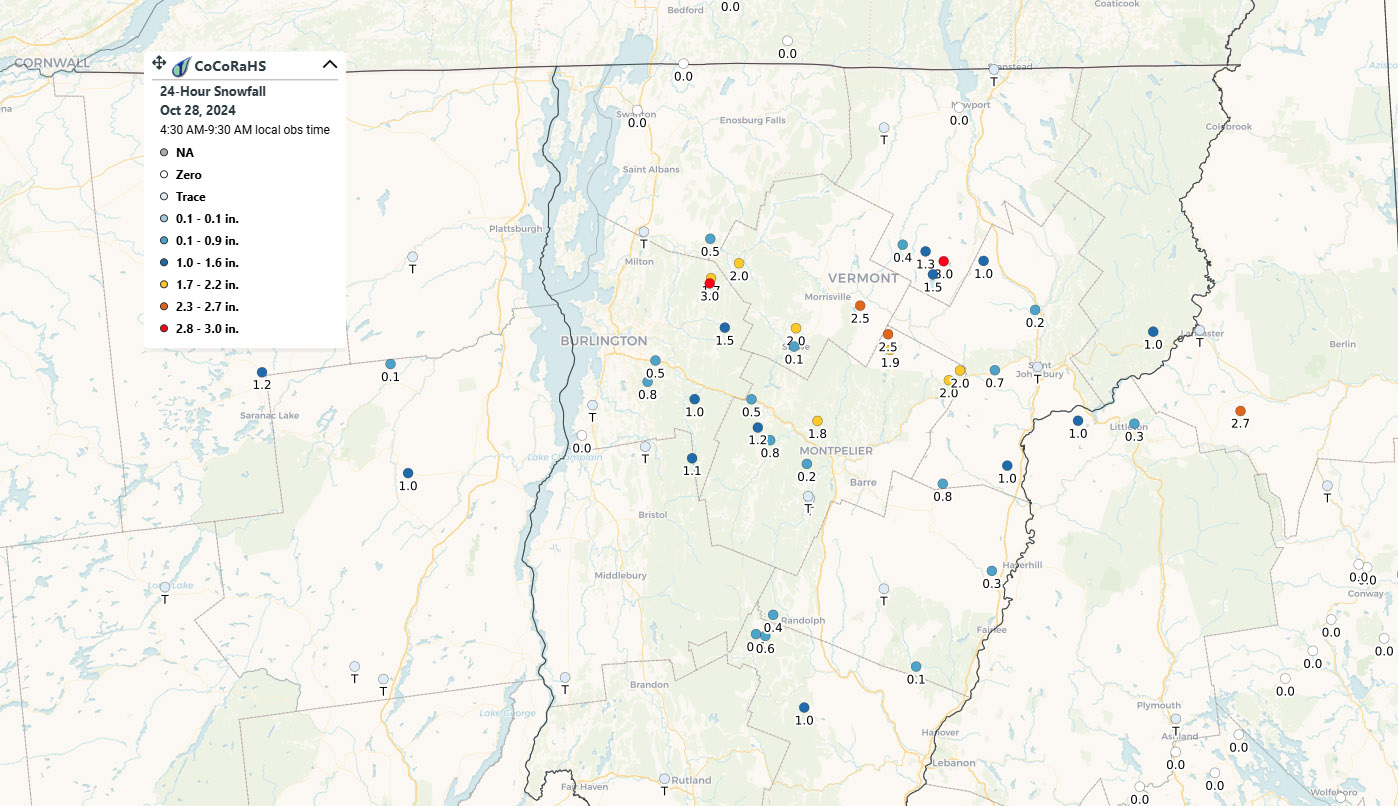
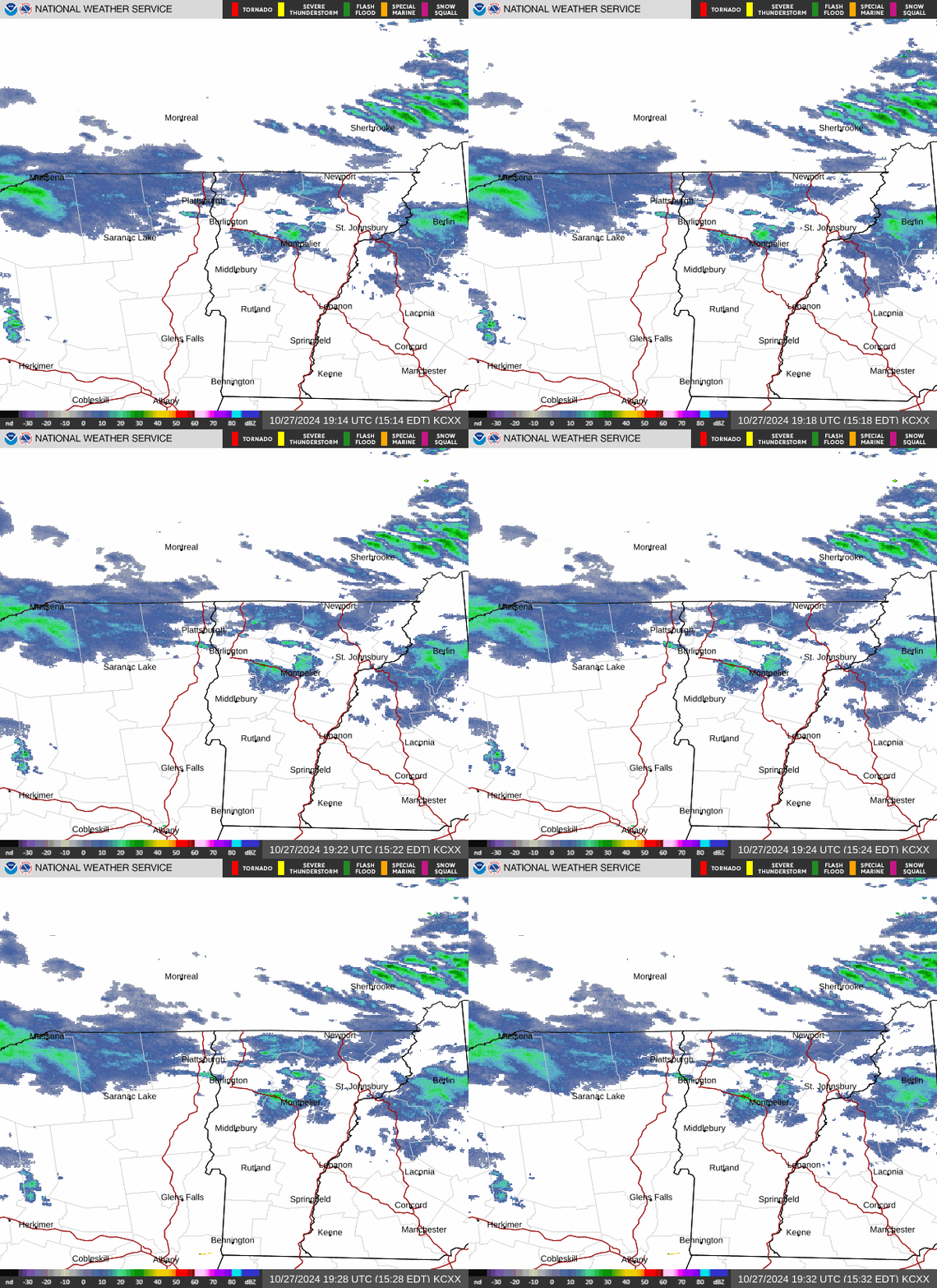
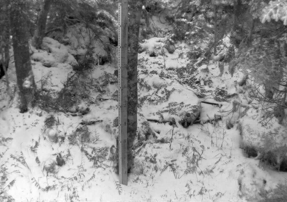
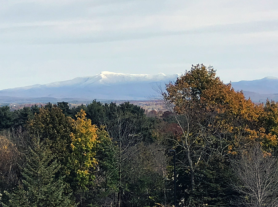
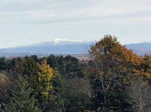
With our latest stretch of cool, early autumn weather, many valley locations have been seeing low temperatures in the 40s and even 30s F. Mount Washington in New Hampshire was even reporting freezing drizzle with a temperature of 30 F yesterday morning. Today there was some video of flakes at Jay Peak, which I believe are the first of the season I’ve seen reported here in Vermont. It looks like we have some nice warm fall days ahead, but Vermont’s 2024-2025 snow season is officially underway.
First Vermont snows for the 2023-2024 winter season
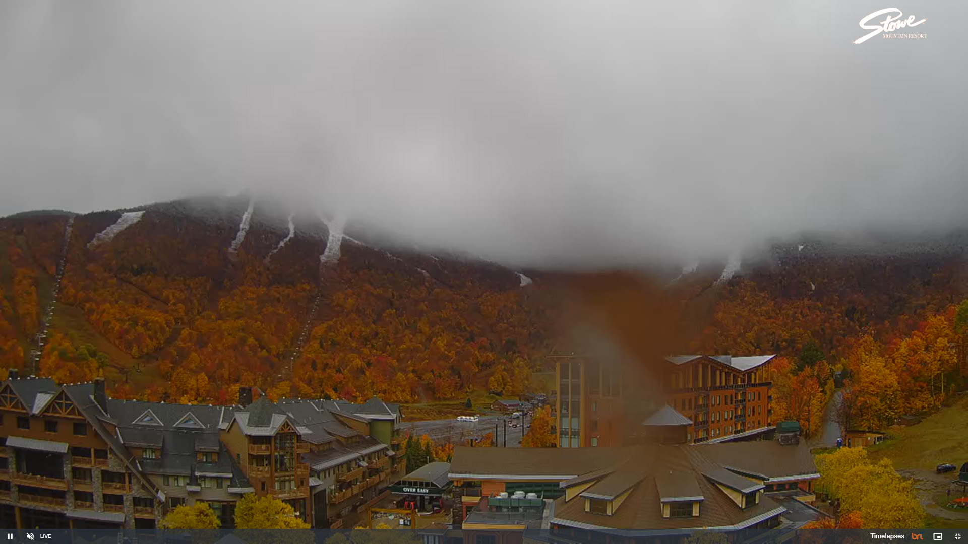
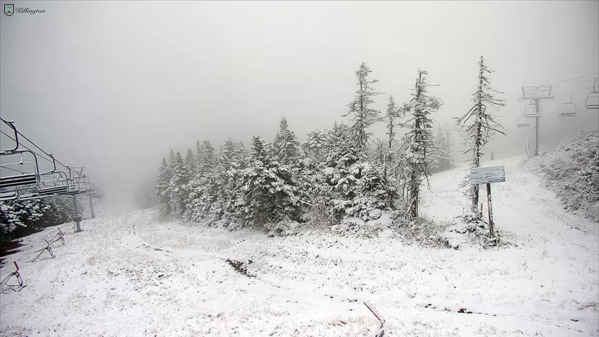
Today we got our first taste of the coming winter in the Northern Green Mountains. While Mt. Washington in New Hampshire has had a number of rounds of snow thus far in the autumn, and there were some reports of possible frozen precipitation in far northern Vermont a week or two ago, today saw the first notable accumulating snow on Mt. Mansfield. As of midafternoon today, Powderfreak reported that the snow level was down to ~2,500’, and he sent in an image of a half inch of accumulation at 3,000’ as of 3:30 P.M. By early evening he provided a few more pictures and indicated that the snow level had dropped below 2,000’. Up at the Mt. Mansfield Stake at roughly 3,700’, the report was that there was about an inch of accumulation over a third of an inch of ice. A check of mountain webcams around the area revealed that just about all the mountains were seeing flakes with accumulation, but those views will have to do for now. Unfortunately, it’s been far too cloudy to get any nice shots of the snowy peaks from afar, but hopefully we’ll get to see them appear in a day or two.
So, Oct 22 will go down as the date for our first accumulating Mt. Mansfield snow for the winter of 2023-2024, and we can now add it to the books and see how it compares to the averages. The stats for first accumulating snowfall of the season on Mt. Mansfield are below for comparison – today’s date of Oct 22 is later than the mean date of Oct 11, but well within 1 S.D., so quite normal in that regard. Assuming a normal distribution, about 25% of seasons will have later first snowfall dates than this one.
The dates of first accumulating Mt. Mansfield snow for some recent seasons are shown below as well, so this season sits later than the past few, but ahead of most of that stretch in the mid-2010s, which was a surprising run of later October dates.
Date of first accumulating Mt. Mansfield snow:
Mean: 10/11
Median: 10/10
Mode: 10/17
S.D.: 15 days
N: 67
Most Recent: 10/22
Most Recent Days Deviation: +11
Most Recent # of S.D. Deviation: +0.732
Most Recent S.D. % Lower: 76.8%
Earliest 8/28/1986
Latest 11/17/1985
Date of first accumulating Mt. Mansfield snow by season:
2008: Oct 3
2009: Sep 30
2010: Oct 7
2011: Oct 30
2012: Oct 8
2013: Oct 24
2014: Oct 26
2015: Oct 17
2016: Oct 26
2017: Oct 27
2018: Oct 13
2019: Oct 18
2020: Oct 17
2021: Oct 18
2022: Oct 8
2023: Oct 22
First snows of the 2022-2023 season in the Green Mountains
I think it’s been a little while since we’ve had September snows here in the Green Mountains, but the mountains picked up some snow today for their first frozen accumulations of the 2022-2023 winter season.
The weather models have been indicating an early season shot of cool air visiting our area for several days now, with sub-freezing 850 mb temperatures dipping south of the Canadian border. Residual moisture was expected to be around in the mountains as the colder air moved in to provide some flakes, and indeed that’s what we saw.
Reports of snow seemed most notable in the Central Greens around the Sugarbush area, and Powderfreak linked to a video of the flakes falling at Sugarbush Resort. He also passed along a nice image of accumulations at the Battell Shelter on the Long Trail, which is in the Lincoln, VT area
A bit farther north on Mount Mansfield, the reports and pictures indicated that there was some glazing from accumulated ice.
After a fairly dry summer, the weather pattern has changed over the past few weeks to produce frequent synoptic precipitation, so let’s hope that sticks around we continue into the snow season!
A second round of snow for the Green Mountains
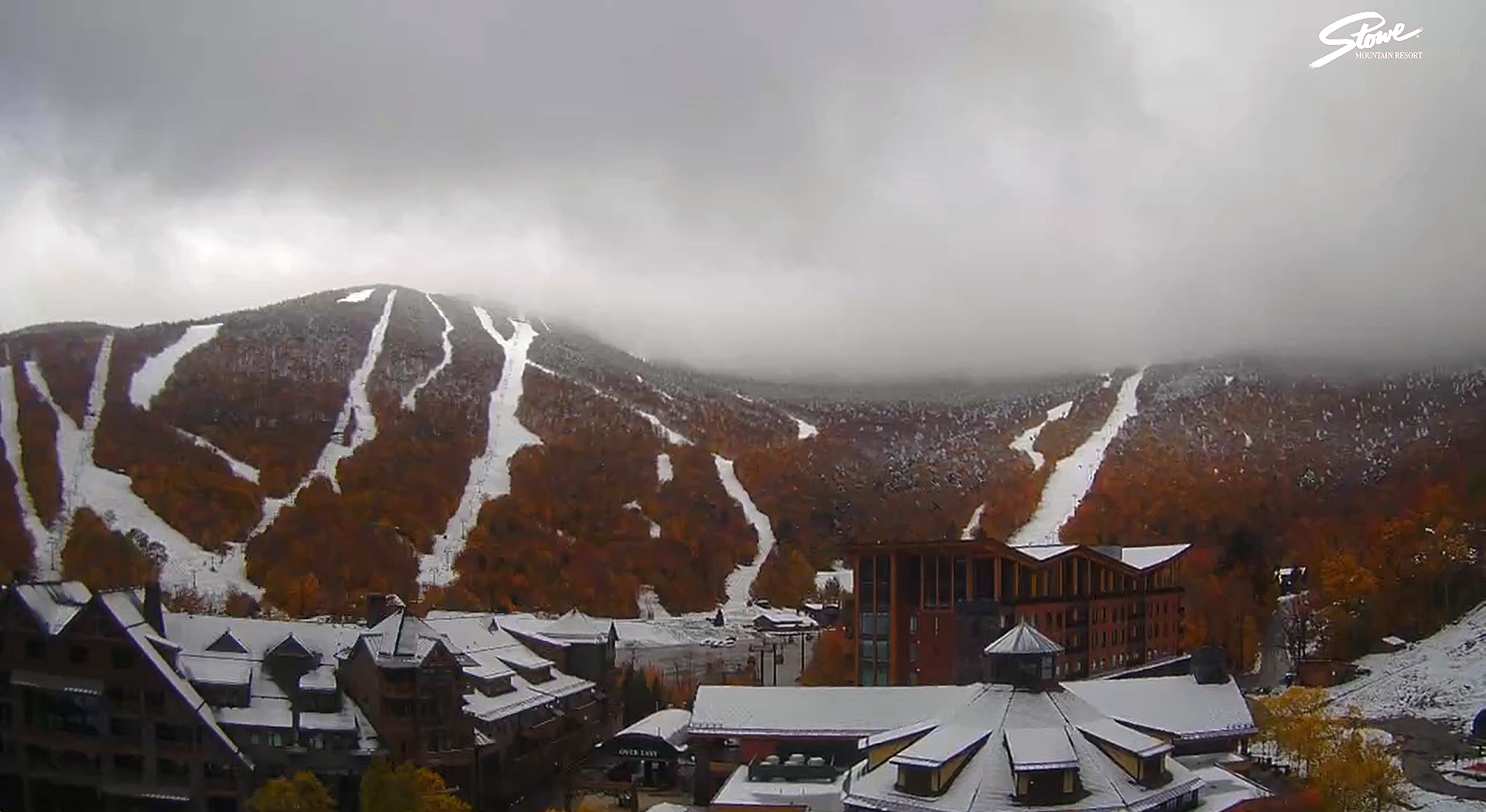
Exactly a week ago, we had our first round of mountain snows for the season here in the Green Mountains, and the latest system moving into the area brought the next round last night into today. Morning reports came in to the Northern New England thread at the American Weather Forum, with flakes seen down to 1,500’ in Jackson, NH. Powderfreak reported that the ski trails at Stowe were all white above ~2,400’. It appears that much of Northern New England has been seeing snow today above ~2,500’, but the persistent clouds and precipitation haven’t quite given us the options for viewing the snow that we had with the previous system. I was able to check out the Sugarbush upper mountain camera this afternoon and catch a view of the snow and drooping evergreen boughs from frozen accumulation, but that’s as much as I’ve been able to see from the valley.
Based on Powderfreak’s comments of seeing some frozen precipitation last night at his place in the Stowe Village area, it sounds like we might have gotten our first frozen of the season down at our house in Waterbury as well. I hadn’t seen anything before heading off to bed, and unfortunately, any frozen precipitation would likely have fallen in the wee hours of the morning as Powderfreak noted.
First round of snow for the season in the Greens
Temperatures have been well above average over the past several weeks here in Vermont, but cooler temperatures moved in on Sunday, and reports of flakes and snow accumulations started coming out of the local mountains today. In the early afternoon, we heard reports of snow above 3,300’ on the Stowe Gondola, and the Sugarbush summit camera at 4000’ was showing accumulation. Later in the day, accumulation was seen down to 2,000’ at Stowe, with snow falling at the base area at 1,500’.
One more round of October snow for Vermont
The local mountains picked up some more snow in what looks to be our final snowfall event for the month of October. Down here in the valley at our house, I found a few flakes on my snow measurement board yesterday evening, but no measurable accumulation. This storm was more notable down in Southern New England where there were totals up around 7 inches in the Worcester, Mass area.
Powderfreak got a beautiful picture of the slopes of Stowe Mountain Resort today, which he posted in the Northern New England thread at the American Weather Forums. I grabbed a shot of Mt. Mansfield from the other side of the range when I was in my office today because it was so great to see the snow starting to come back to the peaks.
Snow for the valleys in northern Vermont
I woke up this morning to find snow on the grass and elevated surfaces at our house, most notably our picnic table out back on the deck. This was the first snow I’ve seen at our house this season, and although our weather forecast did suggest there was some potential for accumulation, you never quite know how it’s going to play out in marginal situations like this one.
In any event, the snow stuck even down here at 500’, so it should have easily accumulated in the higher elevations. I measured 0.6” on the boards at observations time, and it did look like it could have melted some since the point at which most of it fell.
This is about a week on the late side for average occurrence of first frozen precipitation here at our house, but just a day off for the average date of first accumulating snow, so it’s very typical in that regard.
Details from the 6:00 A.M. Waterbury observations:
New Snow: 0.6 inches
New Liquid: 0.09 inches
Snow/Water Ratio: 6.7
Snow Density: 15.0% H2O
Temperature: 34.0 F
Sky: Light Rain/Snow (1-2 mm flakes)
Snow at the stake: 0.5 inches
Accumulating snow for the mountains of Vermont
A low pressure system moving along the coast of New England brought a chance for some accumulating snow to Vermont starting last night, and white could be seen in the peaks this morning. The snow line over here in Vermont seemed to be around 2,500’, with a very sharp elevation cutoff. Accumulations were 3-4” up around 4,000’ on Mt Mansfield, and similar atop Jay Peak. I heard reports of some frozen precipitation up high earlier this season, but this was the first notable accumulation around here. Off to the east over in New Hampshire and Maine, the snow line was much lower, and accumulations were even more substantial. Some accumulations in northern New Hampshire were over a foot.
While in many areas around the state, the leaves have mostly fallen and it’s looking like stick season, there are still a lot of beautiful scenes with fall foliage. We were up in Newport today for a soccer game, and the views of foliage along Lake Memphremagog were beautiful.
First snows of the season for the Green Mountains
Although we did have some reports of frozen precipitation around the area back in the beginning of the month, the bombing cyclone that’s moved through New England over the past couple of days has brought the first real snows of the season to the Green Mountains. As the system moved by yesterday, the summit areas of Killington picked up an inch or two of snow. There wasn’t much going on with respect to snowfall in the northern part of Vermont at that point, but snow levels finally dropped overnight and we started to see accumulations in the higher elevations around here. Although I wasn’t out in the mountains today, the view from my office in Burlington showed that classic look of upslope precipitation along the spine of the Northern Greens. A quick check on the local radar showed that classic signature of moisture streaming into the spine of the Greens, with snow and mixed precipitation along the peaks. Powderfreak sent in pictures to the Northern New England thread at the American Weather Forums, revealing snow accumulations down to roughly 2,400’ at the Gondola, and a couple of inches of accumulation at the top of the Fourrunner Quad. At the end of the day, Powderfreak passed along one more photo that showed accumulating snow levels at around 2,300’ at the Gondola, and commented on how snow levels were somewhat lower on that part of the mountain below The Chin. Winter’s first salvo of snow is now in the books, and we may see a bit more near the end of the month based on what the weather models are showing for that period.
Looking back at the start of the 2018-2019 ski season in Vermont – Mt. Mansfield snowpack depth and historical comparative analysis.
One approximate measure of when the potential natural snow/off piste skiing begins each season here in Northern Vermont is the date when the snowpack at the Mt. Mansfield Stake reaches 24 inches. This is by no means an exact date, especially since it’s possible to get great turns on just a few inches of snow if the snow is dense and the underlying surface is grass instead of rocks. You can indeed get by with much less than 24 inches of snowpack if the snow is very dense, but not if it’s all Champlain Powder™ fluff. Based on empirical observations and reports from skiers in the area each season though, hitting the 24” mark is reasonable for most situations.
With that preface, let’s take a look at where last season sits with regard the start of the natural snow/off piste skiing around here. By most accounts, last season started off with bang. Even in the local mountain valleys, the winter snowpack started as early as November 10th. That’s very early for the valleys, and when the valleys are doing well, the mountains certainly are too.
The updated plot for the 60+ seasons in the Mt. Mansfield Stake database is below, with last season represented by the red star:
Before I add a bit of context to last season’s start, here are the stats for the data set:
n: 64
Mean: Dec 12th
Median: Dec 9th
Mode: Dec 16th
S.D.: 18.8 days
Entry of this year’s data point had no effect on the mean, mode, or S.D. (within a tenth of a day), but it did drop the median by one day from Dec 10th to Dec 9th.
The plot would suggest a reasonably good start, but nothing outrageous: last year’s 24” date was Nov 27th, which is only 0.78 S.D. ahead of the mean, so well within 1 S.D. That puts it in roughly the top 22% of seasons, so about 1 in 5 seasons will have a similar or earlier 24” date.
While the 24” date is a nice snapshot for the start of the natural/off piste season, there are of course a number of other factors to take into account that made last November more impressive than that number alone:
1) Near miss: If you look at the raw November stake depth data (posted below), you can see that the snow depth at the stake reached 23” on Nov 21st. That’s as close of a miss as you can get to hitting 24”, so even as of the 21st of the month, the snowpack had essentially hit that two-foot level. Getting to that level by the 21st brings a season past 1 S.D. and into that top ~15% of seasons. That’s not a huge bump in this regard, but having nearly an extra week of borderline two-foot snowpack at that part of the season could easily mean an entire additional weekend of natural snow skiing potential.
2) No going back: This is a much bigger feather in last season’s cap. Even from about mid-month, the snowpack never really took a major hit, and once it did hit that 24” mark on Nov 27th, there was really no going back. It sailed past 24” and just kept climbing as you can see in the numbers at the end of the month. I haven’t added the December numbers below, but even with the lackluster December we had, the snowpack never dropped below ~40”. That can’t be said for all of the seasons on the left side of the plot (certainly not Mr. October out there in front, which was the 2006-2007 season – he was back to 0” at the stake by mid-November).
3) Snow-depth days: I haven’t calculated this for any November with the stake data, but it will obviously be a good integrative measure of how much snow was on the ground for the start of the season. I’m sure last November would have a solid ranking if I put those data together.
So, if we look into that left side of the plot, do we have any other recent seasons in there that we can use for comparison to last season?
Actually, that lone star (Nov 25th) just to the left of the red star for last season is for 2007-2008. We know that was a solid season around here. The snowpack began building in the first week of November, and there was really no going back there either. Unlike this past season, that solid November was followed up by a stellar December (almost 70” of snow here at the house) and the Mansfield snowpack was hitting five feet by the holidays. With a solid December, last season certainly would have given 2007-2008 a run, but instead it was languishing at around 40” at the stake during the holiday period.
With regard to some of the other stars up at that end of the plot:
The two compatriots of last season on the plot, those other two stars on Nov 27th, are 1997-1998 and 1977-1978. 1997-1998 looks pretty solid with a snowpack start in the first week of November, and snowpack at about that five-foot mark by the holiday period. There’s also a nice-looking bonus stretch of snow at the end of October, with snow at the stake for almost the last third of the month, and the depth peaking at 16”. Checking my archives, I actually went for some lift-served skiing at Sugarbush on Oct 28th, so that speaks to that period snow being a bit of something special. 1977-1978 was before my time around here, but it looks a bit tamer. There was nothing in October, then snowpack began to build around mid-November and was getting around the four-foot mark by the holidays.
The two stars right at Nov 20th are interestingly, back-to-back seasons of 1967-1968 and 1968-1969. Both had a little October snow, and then a snowpack start in the first week of November. Both had pretty steady climbs right through November and December, with 1967-1968 getting to around 40” for the holiday period, and 1968-1969 hitting a very robust 6+ feet of snowpack for the holidays. I guess that shouldn’t be too surprising, as that was just the start of a season that would become legend.
The star at Nov 18th is 1965-1966, and the progression looks sort of like 1967-1968. That’s quite a 4-year stretch of good early seasons from ’65-’66 to ’68-’69 with those three solid starts.
The star at Nov 16th is 1980-1981. That season is interesting in that the snowpack started building on Oct 20th and sailed right into November without ever going back to zero. Snowpack was 4+ feet for the holidays, but the rest of the season looks modest (relatively speaking) with the snowpack depth never getting above 6 feet.
The star on Nov 14th is for something more recent: 2003-2004. I was out in Montana for that one, but snowpack started building in the second week of November, it was 4+ feet at the holidays, and hit the 100” mark in March.
The star on Nov 13th is for 1976-1977. That looks like an impressive start, with snowpack taking hold in the second half of October, climbing right through November, and hitting roughly the 4-foot mark for the holidays. The stake didn’t quite top out at 100” that season, but it did pretty well topping out at 94”.
The final early star I haven’t mentioned yet is the one on Nov 11th, that’s for the 1990-1991 season. It seems like the only other boom and bust start to go with Mr. October (2006-2007). There was a little inkling of snow at the end of October and start of November, but snowpack started building at the end of the first week of the month and topped out at a very impressive 45” on Nov 14th! It was a downhill slide after that though. The snowpack never went lower than 9” but there were only 12-18” on the ground for the holiday period, and on Dec 30th it dropped from 18” to 13”, so that must have been quite a dagger in the holiday week (I guess that depends on whether it was a nice spring skiing day or a nasty rainstorm). The rest of that season seemed pretty blasé because the snowpack never even hit 5 feet. I don’t recall much about that season, but I’m assuming there was nothing too remarkable.
The November 2018 Mt. Mansfield snow depth data are below – note that there are a few days with no depth data available:
Date Depth
11/1/2018 2
11/2/2018 1
11/3/2018 4
11/4/2018 4
11/5/2018 4
11/6/2018 3
11/7/2018 0
11/8/2018 3
11/9/2018 1
11/10/2018 7
11/11/2018 8
11/12/2018 8
11/13/2018
11/14/2018 14
11/15/2018
11/16/2018 19
11/17/2018
11/18/2018
11/19/2018 20
11/20/2018 21
11/21/2018 23
11/22/2018 23
11/23/2018 23
11/24/2018 20
11/25/2018 19
11/26/2018 19
11/27/2018 32
11/28/2018 43
11/29/2018 46
11/30/2018 44