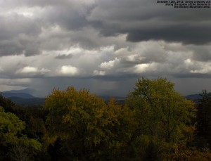
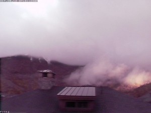
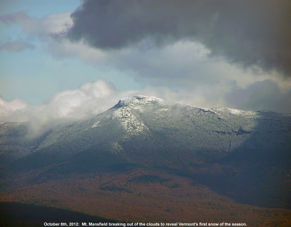
 As clouds begin to lift, an image from the web cam at Stowe Mountain Resort reveals a fresh October snowfall from last night.
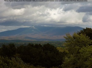
It looks like the temperature on the Mt. Mansfield ridgeline stayed at or below freezing from midnight onward last night, and with 0.29” of new liquid found in our rain gauge at the house this morning, there was clearly some precipitation to go with those sub-freezing temperatures. The web cam images from Mt. Mansfield this morning show snow on the trails at Stowe above the 3,000’ level, and reports from the mountain indicate that there were a few inches of accumulation, so this is likely the first accumulating snow of the season for Vermont. Over in New Hampshire, new snow is visible on the Wildcat summit at ~4,000’, and the vertical temperature profile on Mt. Washington shows that temperatures really fell of quickly above that elevation and they picked up 3.6” of snow as of this morning. As the clouds pull away in Northern New England today, I’d expect to see some white-capped peaks to go with our foliage.
Afternoon Update: Numerous pictures of the fresh snow on the peaks throughout the Northeast are available in a new thread at AlpineZone, and the guys at FIS have already gone up and done some skiing on the snow on Mt. Mansfield this morning. In addition, Powderfreak measured 4” of new snow while he was working up at the Cliff House on Mt. Mansfield today, and sent in several nice pictures of the snow and foliage in a post in the Northern New England thread at American Weather.
 Vermont’s first accumulating snowfall of the 2012-2013 winter season
