Bolton Valley, VT 21DEC2019

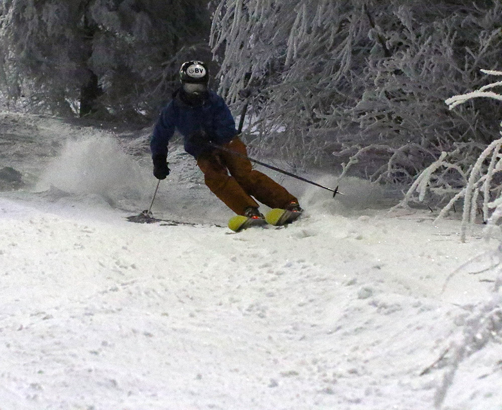
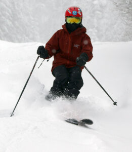
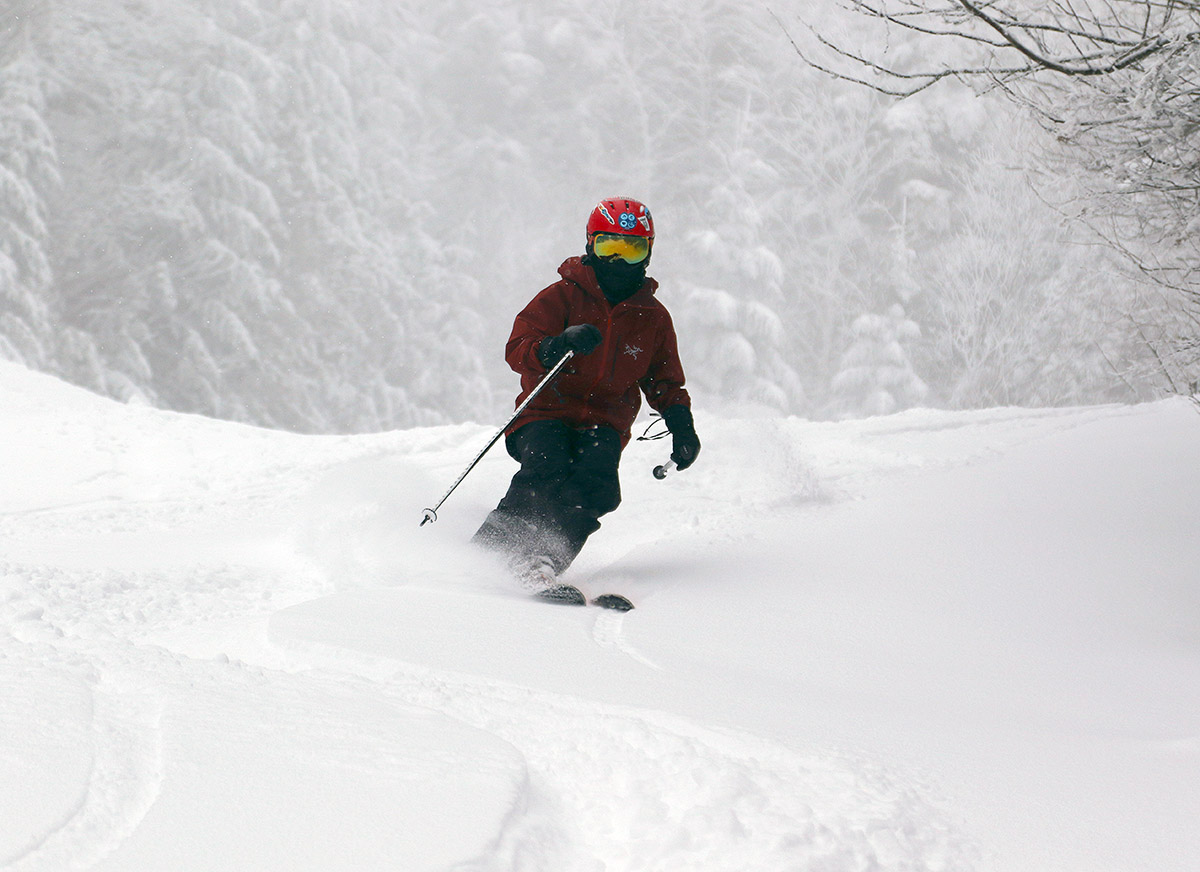
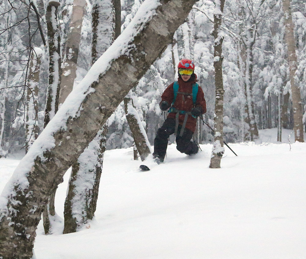
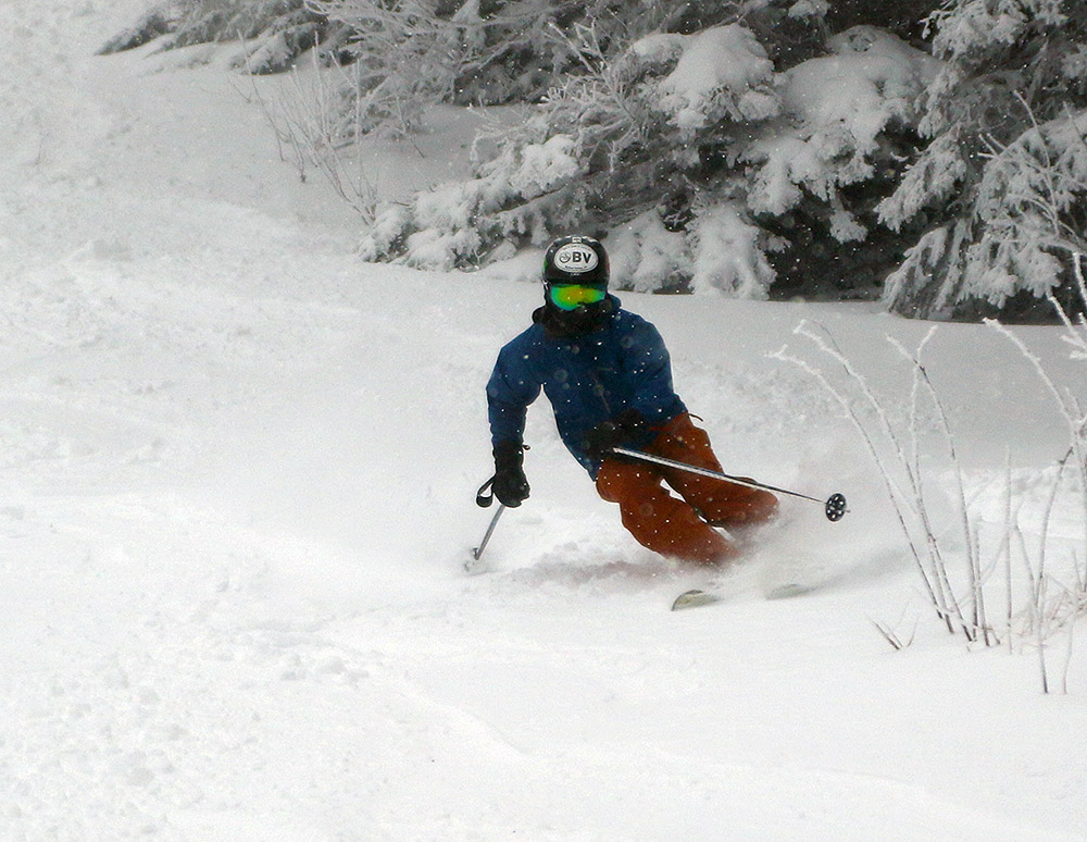
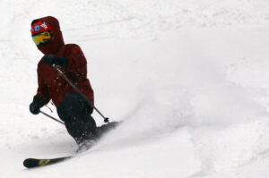
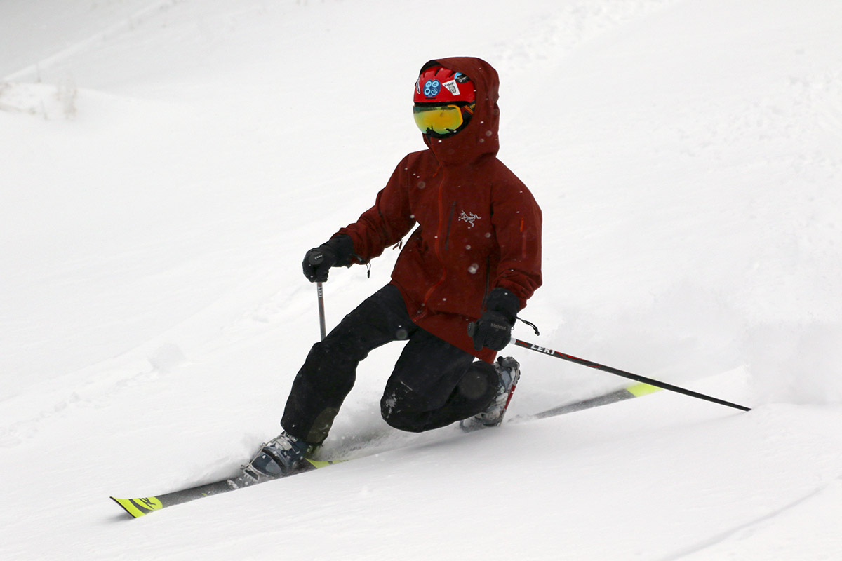
An image of Dylan skiing in the Wilderness area at Bolton Valley Resort in Vermont in mid-December after a couple of small snowfalls
Dylan catching some turns today on the natural snow over at Wilderness

We’ve had just a couple of modest systems bringing fresh snow this week, Winter Storm Finley on Tuesday/Wednesday, and then an arctic front with snow squalls soon after that.  In combination they brought 6 to 7 inches of snow down here at the house, and close to a foot up at Bolton Valley.  We had some warm storms last week that firmed up the slopes, but a photo of Powderfreak’s from Wednesday showed some gorgeous powder skiing thanks to the new snow.

“Lower Turnpike has a nice skier packed base with 4 to 6 inches of medium weight powder on it, and the areas of untracked snow offered fantastic turns.”

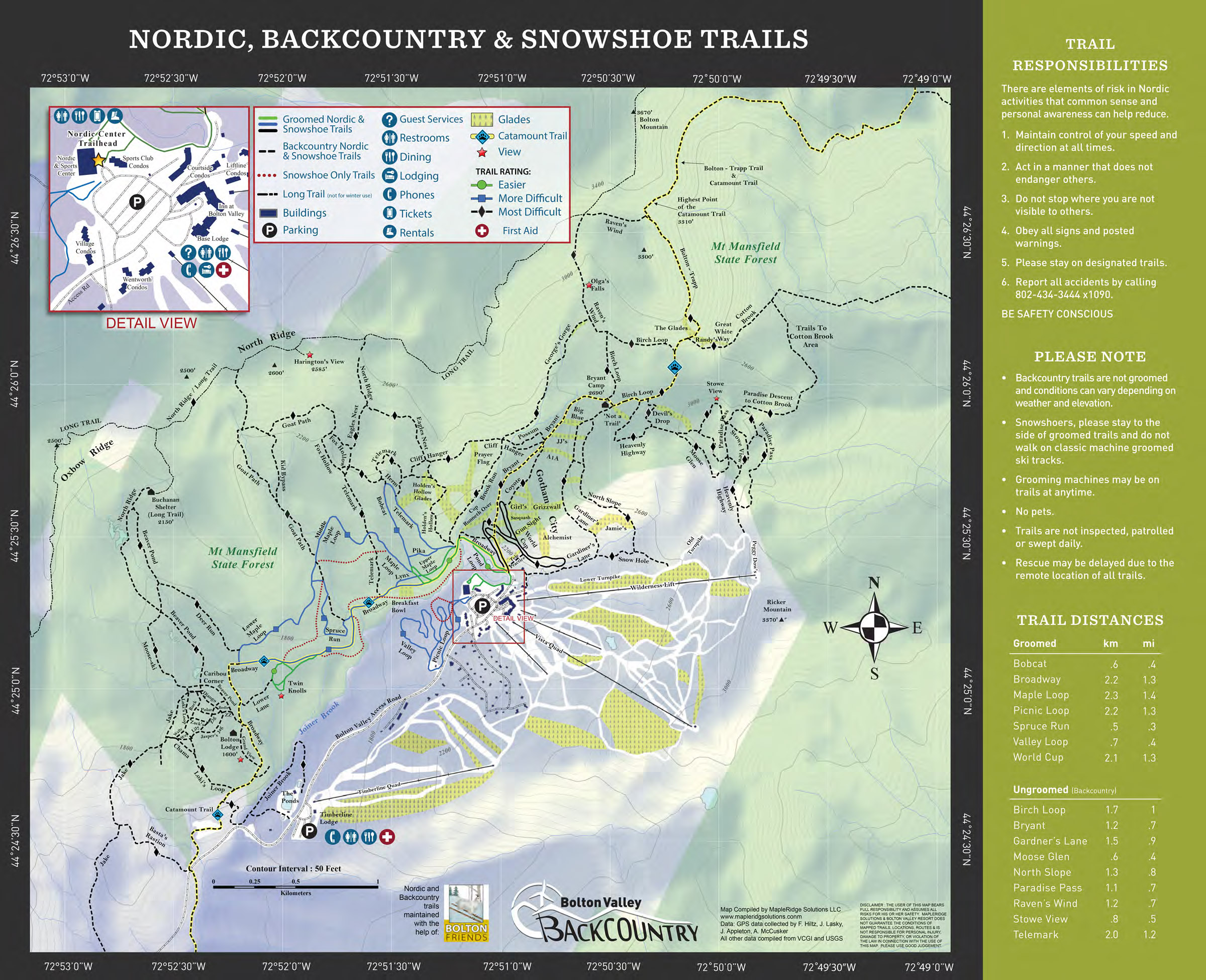
Although Ty was at work today, E and Dylan and I decided to head up to Bolton Valley to check out the new accumulations and overall conditions.  Temperatures have been quite chilly over the past couple of days, with highs only around 10 F or so, but today they were getting nicely up into the 20s F in the afternoon.

Lift-served trail options are fairly limited right now since natural snow trails off Vista don’t have nearly enough snow to support those levels of skier traffic, but we rode the Vista Quad and eventually made our way over to Wilderness to see what the terrain over there offered  With mostly skinning traffic on that part of the mountain, many areas on the lower slopes of Wilderness are in great shape.  Lower Turnpike has a nice skier packed base with 4 to 6 inches of medium weight powder on it, and the areas of untracked snow offered fantastic turns.  We only saw three folks skinning up during the course of our descent, so skier traffic seemed light, in line with the conditions we found.

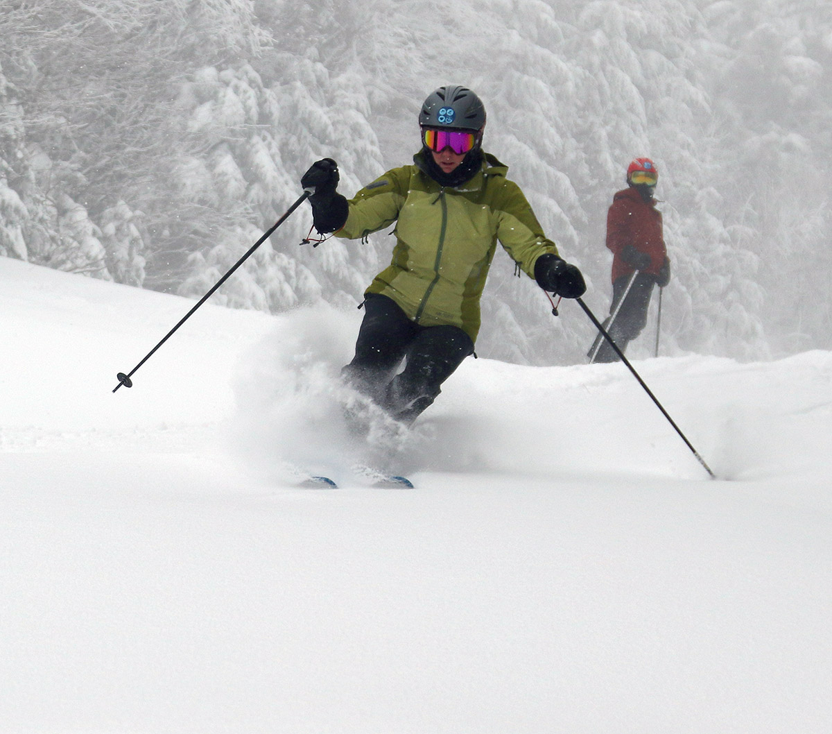
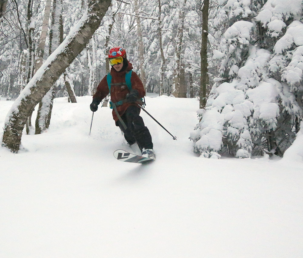
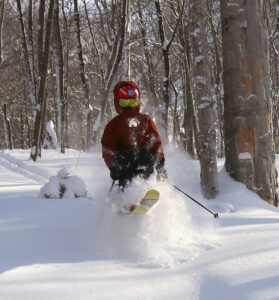
An image of Erica Telemark skiing in the Wilderness area of Bolton Valley Resort in Vermont
Erica masquerading as Ty by borrowing his ski clothes for today’s outing.

Pizzas set up at Fireside Flatbread at Bolton Valley Ski Resort in VermontWe stopped in for some slices at Fireside Flatbread before leaving, and there was modest midafternoon crowd enjoying the atmosphere.  The pizza was fantastic as always!

The forecast actually looks fairly benign over the course of the next week, but the weather models due hint at a couple of possibilities for snow.  We’ll be watching to see if anything develops.

Bolton Valley, VT 07DEC2019

An image of fluffy upslope snow from an early December Alberta Clipper system at Bolton Valley Ski Resort in Vermont
An image showing the snowpack depth around mid mountain in early December at Bolton Valley Ski Resort in Vermont
Checking the depth of the snowpack today at around 2,600′ near Mid Mountain. Total depth was around 27″, with about 20″ of it being powder from recent storms.

Last weekend, Winter Storm Ezekiel brought some hefty snowfall to the Northeastern U.S., with totals exceeding two feet in areas around Albany, NY and Southern Vermont.  Up here in the northern part of the state we only picked up a few inches of snow from the storm, with totals falling off to almost nothing near the international border in a total reversal of the usual trend.

A couple of smaller, Alberta Clipper-style systems came through the area this week though, with the second one being especially potent as it interacted with the Northern GreensBy this morning we’d already picked up 5 to 6 inches of pristine powder at the house, and Bolton Valley was reporting 9 inches in the past 24 hours.  We’re known for getting plenty of dry, “Champlain Powder™” here in the Northern Greens, but this snow was way up there on the quality scale.  My analyses at the house were revealing snow to water ratios of 50 to 1, and even as high as 85 to 1, so that’s incredibly dry powder with just 1 to 2% H2O content.

“My analyses at the house were revealing snow to water ratios of 50 to 1, and even as high as 85 to 1, so that’s incredibly dry powder with just 1 to 2% H2O content.”

The upslope snowfall on the back side of the Clipper looked like it would continue all day today, so I decided it was time for a quick trip up to the mountain to check out the new powder.  Thanks to our cold November temperatures, Bolton Valley has actually been open for a couple of weeks now, and I hadn’t even picked up my season’s pass yet because I’ve been so busy.  E and D were both a bit under the weather, and T was at work, so unfortunately they’ll have to wait until another trip to get themselves set up with their passes.

An image from outside the Village Cafe area at Bolton Valley Ski Resort in VermontI was worried about a long wait to get my season’s pass, but once up at the mountain it turned out that picking it up was very quick.  While I was walking toward the lodge from my car, I ran into a member of the resort staff who was checking in with everyone about picking up their passes.  For pick up, he said to head right toward the Village Café, and they’d take care of everything.  Indeed, there was only one person ahead of me picking up their pass, and it was very quick.  The process of pick up and filling out the waiver was all done very efficiently on a handheld, wireless iPad-type device, and there was plenty of nice seating on couches in the lobby area so you could have a seat while you finished off the process.

Of course the greatest part of picking up my pass this year was the fact that Bolton has gone RFID!!!  Dylan and I suspected it when we saw electronic gates by the lifts during a ski tour last month, but I can definitely say it’s for real.  It’s so nice to be able to just stick the pass in my pocked (my Arc’teryx Sidewinder Jacket has a pocket on the sleeve that works perfectly) and I never have to mess with getting it out at the lifts.  I tested out my pass at the Mid Mountain Chair and the process was perfectly smooth.

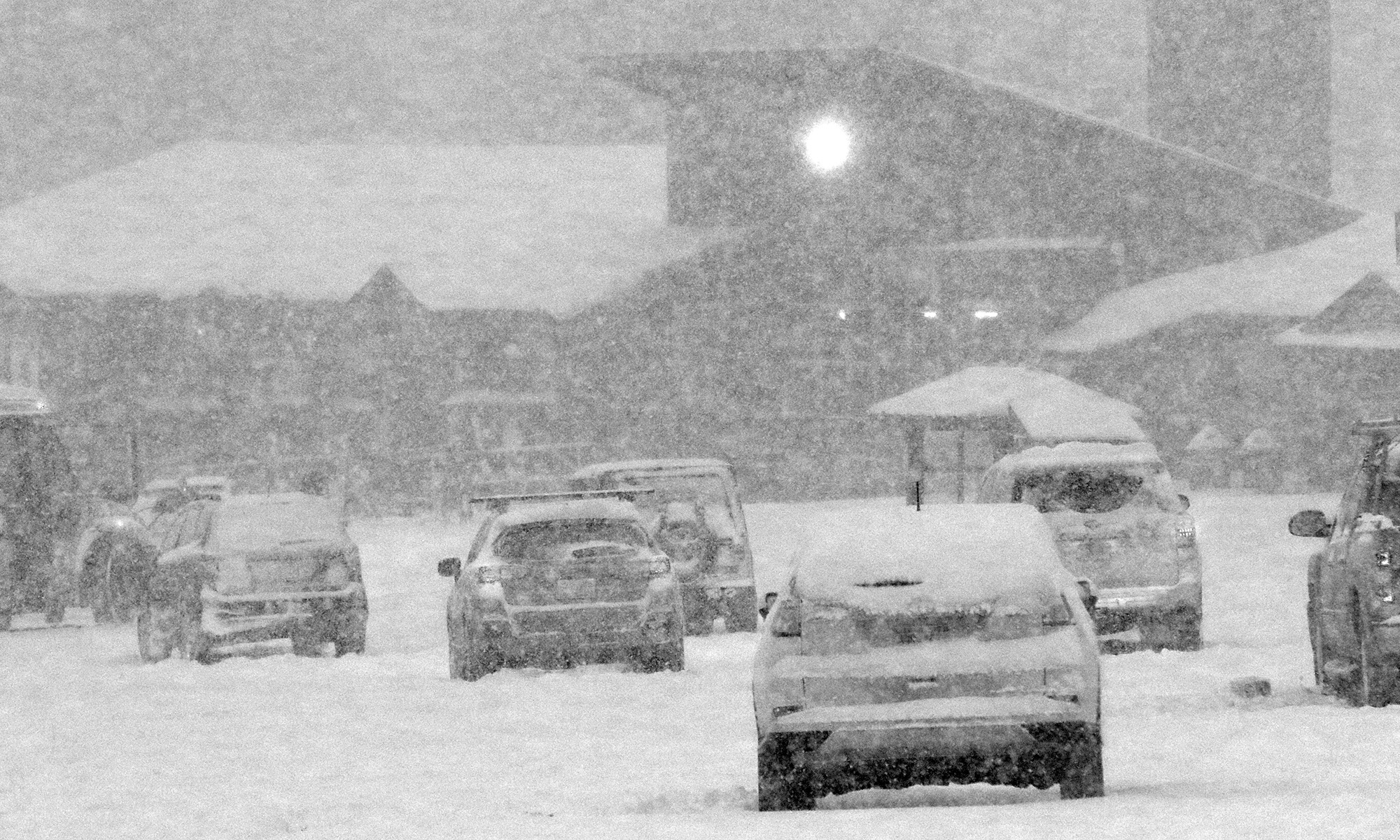
An image of snow falling in the Village Circle area during an early December snowfall at Bolton Valley Ski Resort in Vermont
An image of the snowy Bolton Valley Village today after picking up my season’s pass

“I checked the total snowpack depth in that area and measured a healthy 27 inches, with about 20 inches of that being powder from recent storms, and the rest being base snow.  Clearly Bolton has gotten clobbered from some these smaller systems we’ve had.”

In terms of skiing, my plan was to use an assist from the Mid Mountain Chair and head over to Wilderness to ski some of the fresh powder in that area.  I figured there would be no one on the upper mountain without the Vista Quad running, but when I was traversing over on Fanny Hill, I ran into a patroller who was prepping the trail for opening because they were going to open Vista.  He reminded me that I wasn’t on the designated uphill route, but thankfully let me continue on over since I was just about onto the Wilderness terrain.  I checked the total snowpack depth in that area and measured a healthy 27 inches, with about 20 inches of that being powder from recent storms, and the rest being base snow.  Clearly Bolton has gotten clobbered from some these smaller systems we’ve had.

An image of snowy trees and a skin track after an early December snowfall at Bolton Valley Ski Resort in Vermont
Enjoying the snowy views along my skin track in the Fanny Hill area.

Once connecting to the standard skinning route, I finished my ascent on Peggy Dow’s to the Wilderness ridgeline and got ready for some turns.  Light snow with breaks of sun that had been with me on the last part of my ascent were replaced with a sudden change to a maelstrom of huge flakes coming down as I began to descend.  I really didn’t have to venture far afield from Peggy Dow’s and Turnpike to find powder – there was plenty of it throughout the route because skier traffic had been low enough.  Powder depths ranged from as much as 15 to 20 inches on the upper mountain, to typically 12 to 15 inches on the lower mountain, so even with the incredibly dry powder there was plenty of it to keep you floating.  I’d brought my 115 mm fat skis and they were definitely the right tool for the job.  I was surprised at how quickly my legs got cooked from making Telemark turns – they’d often be fried after just a dozen or so turns!  I guess it has been roughly three weeks since I last skied, so my legs are clearly telling me they need to get back into ski shape.  Today should get the process started though, and hopefully ski days will become more frequent as we move into December and we continue to get snow.

On the weather side, it looks like we’ve got a warm system to start off this next week, which will consolidate the snowpack somewhat, and then temperatures should cool down for midweek with potential for some moisture from the Great Lakes affecting the area.  Then there’s the potential for another large system next weekend, but it will be a bit before we can figure out how much snow we might get from that one.

Bolton Valley, VT 16NOV2019

An image of ski tracks in some November powder at Bolton Valley Ski Resort in Vermont
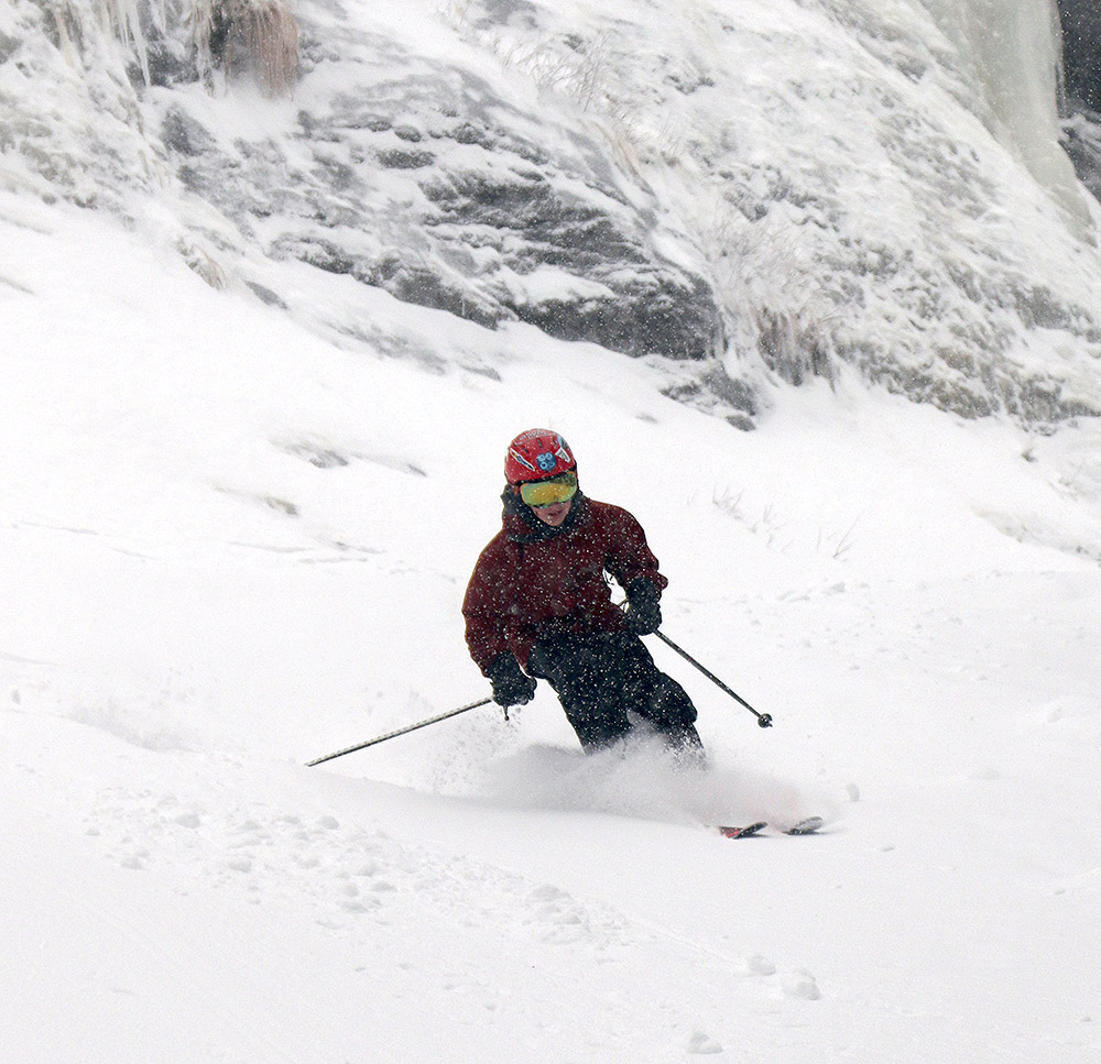
An image of Dylan Telemark skiing in some November powder on the Turnpike trail at Bolton Valley Resort in Vermont.
Getting Dylan out for his first turns of the season today, we found up to a foot of powder in some areas thanks to the three storms we had this past week.
Since last week’s ski outing up at Bolton Valley, we’ve had three additional rounds of snow.  The first one at the beginning of the week was the most significant, with roughly an inch of liquid equivalent going into the snowpack in the form of some dense snow.  The next two systems later in the week were smaller, but featured drier snow that topped off the denser base snow with some nice powder.

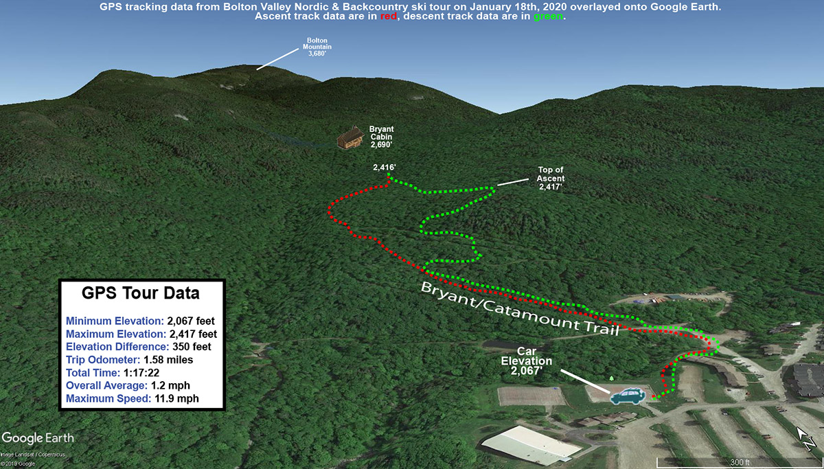
Temperatures continued to run below average today, but were expected to top out around 20 F in the midafternoon, so Dylan and I headed back up to the mountain to check out the new snow and get in a ski tour.  Not surprisingly, we found snow that was much improved over last week.  At base elevations around 2,000’ we were finding 5 to 7 inches of powder atop the base, and up around 2,700’-2,800 where we topped out, depths were right around a foot.
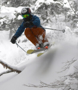
Dylan is in the process of getting new equipment and gear since he’s outgrown so much of his stuff, so he was using E’s powder Telemark skis and Ty’s outwear.  It all seemed to work really well for him though, and he was ripping up the powder when we found it.  I’d say that was actually the main issue on the day; since the big storm was back on Monday and Tuesday, people have skiing that snow all week and large areas of untracked snow were at a premium on the lower slopes of Wilderness.  We definitely got in some nice turns, but we had to really stick to the edges and seek out those spots that people has missed.

We’ve got yet another winter storm coming into the area tomorrow into Tuesday.  This one’s expected to be a bit messy on the front end with some freezing rain, but it’s supposed to change over to snow as the system pulls off to the east.  Whatever the case, it should all represent more material for building the base.  It looks like there’s another storm expected toward the end of the week as well, so we’ll be watching to see how that will set things up atop the current base of snow.

Bolton Valley, VT 09NOV2019

An image of the Vista Peak area of Bolton Valley taken from near the Wilderness midstation after an early November snowstorm at Bolton Valley Ski Resort in Vermont
An image showing some snowmaking taking place in early November at the main base of Bolton Valley Ski Resort in Vermont
A bit of early season snowmaking going on at the main base area today

The end of the week brought our first significant snowfall to lower elevations here in Northern Vermont, with a couple inches accumulating in most valleys by Friday morning from the initial passing of the cold front.  Friday continued to bring additional snow however, with another 5 inches coming down at our house during the morning in the span of just a few hours.  By the time the system had wrapped up on Saturday morning, we’d accumulated over 7 inches at the house and the yard had been transformed from stick season into winter.

The local ski resorts hadn’t picked up too much more than we had, but totals in the 6 to 10” range seemed typical, and that was certainly enough to entice me out for some early season turns.  With that in mind, this morning I decided to head up to Bolton Valley to get in a ski tour and check out the new snow.  With the fairly fluffy nature of the snow and based on what we’ve seen at the house over the past couple of days, I’m sure there had been some settling since it fell, but here’s the snow depth/elevation profile of what I found from the base of the Bolton Valley Access Road up to the local summit areas:

340’:  1-2”
1,000’:  2-3”
1,500’:  3-4”
2,000’:  4-6”
2,500’:  6-7”
3,000’:  7-9”

I started my ski tour around midday, when temperatures were just edging a bit above freezing at our house down in the valley, but above 1,500’, and certainly above 2,000’, temperatures never got above freezing so the snow was all winter consistency.

In terms of the skiing, it was undoubtedly early season, and rock skis would be your best bet if you’re going on anything with substantial pitch.  I actually found the skiing better on the lower half of the mountain because there was a bit of a base there – I think more of the snow down in those elevations was melting on contact with the ground to create that dense layer.  Up higher, the consistency of the snow was more straight fluff from top to bottom.  As is often the case, most water bars had reasonable crossings at least at one point, but a few were dicey and took some extra navigation.  There’s still running water in plenty of spots, and ponding in some flat areas.  On my descent it was obvious that my skis got in contact with at least traces of that moisture, because about halfway down I had to pull out a credit card and spend probably 10 minutes doing a scrape down on the ski bases to really get things back in shape for gliding.

That effort was worth it though, because for the bottom half of my run I was on Lower Turnpike, and that offered what was unquestionably the best skiing of the tour.  The combination of that bit of dense snow that accumulated as some base down in those elevations, plus some skier traffic packing down areas of the new snow as well, clearly created the best subsurfaces I encountered.  On top of that you’ve got the fact that Lower Turnpike is essentially all grassy terrain, and it has a pitch that isn’t really overbearing for the amount of snowpack we’ve got, and it comes together for real winning combination.  Even with some skier traffic, there was still plenty of powder to play around in throughout the trail, so that was a great way to finish off my run.

An image of drifted snow atop some of the condominiums near the base of Bolton Valley Ski Resort in Vermont after an early November snowstorm
Enjoying the wintry views at the end of my tour as drifted snow adorns some of the condos by the base of the Wilderness Lift

For anyone heading up, you may still want to hit the summit areas to check things out and get the exercise from a more substantial tour, but if you’re just looking to get out from some quality turns, Lower Turnpike is probably going to get you the most bang for your buck.  It’s one of the designated ascent routes anyway, so there’s a nice skin track and it’s an efficient way to in some nice turns on the new snow.

I just got an alert on my phone this morning that we’re under a Winter Storm Watch in association with the next system.  This one looks more substantial than this past one, but we’re still a day or two out so we’ll need to watch for any final refinements to the forecast.

First snows of the season for the Green Mountains

A radar image showing moisture streaming into the Green Mountains of Vermont and producing snow along the peaks in mid October
A look at the local Burlington weather radar from today showing the classic upslope signature of moisture streaming into the Green Mountains from the northwest and snow/mixed precipitation along the peaks.

Although we did have some reports of frozen precipitation around the area back in the beginning of the month, the bombing cyclone that’s moved through New England over the past couple of days has brought the first real snows of the season to the Green Mountains.  As the system moved by yesterday, the summit areas of Killington picked up an inch or two of snow.  There wasn’t much going on with respect to snowfall in the northern part of Vermont at that point, but snow levels finally dropped overnight and we started to see accumulations in the higher elevations around here.  Although I wasn’t out in the mountains today, the view from my office in Burlington showed that classic look of upslope precipitation along the spine of the Northern Greens.  A quick check on the local radar showed that classic signature of moisture streaming into the spine of the Greens, with snow and mixed precipitation along the peaks.  Powderfreak sent in pictures to the Northern New England thread at the American Weather Forums, revealing snow accumulations down to roughly 2,400’ at the Gondola, and a couple of inches of accumulation at the top of the Fourrunner Quad.  At the end of the day, Powderfreak passed along one more photo that showed accumulating snow levels at around 2,300’ at the Gondola, and commented on how snow levels were somewhat lower on that part of the mountain below The ChinWinter’s first salvo of snow is now in the books, and we may see a bit more near the end of the month based on what the weather models are showing for that period.

Looking back at the start of the 2018-2019 ski season in Vermont – Mt. Mansfield snowpack depth and historical comparative analysis.

This plot uses the 60+ year snow depth data set from the measurement stake on Mt. Mansfield in Vermont to indicate the date when the snowpack first reaches 24 inches of depth each season.

One approximate measure of when the potential natural snow/off piste skiing begins each season here in Northern Vermont is the date when the snowpack at the Mt. Mansfield Stake reaches 24 inches.  This is by no means an exact date, especially since it’s possible to get great turns on just a few inches of snow if the snow is dense and the underlying surface is grass instead of rocks.  You can indeed get by with much less than 24 inches of snowpack if the snow is very dense, but not if it’s all Champlain Powder™ fluff.  Based on empirical observations and reports from skiers in the area each season though, hitting the 24” mark is reasonable for most situations.

With that preface, let’s take a look at where last season sits with regard the start of the natural snow/off piste skiing around here.  By most accounts, last season started off with bang.  Even in the local mountain valleys, the winter snowpack started as early as November 10th.  That’s very early for the valleys, and when the valleys are doing well, the mountains certainly are too.

The updated plot for the 60+ seasons in the Mt. Mansfield Stake database is below, with last season represented by the red star:

This plot uses the 60+ year snow depth data set from the measurement stake on Mt. Mansfield in Vermont to indicate the date when the snowpack first reaches 24 inches of depth each season.
The updated plot showing the date of reaching 24-inches of snowpack at the Mt. Mansfield Stake. The point for the 2018-2019 winter season (November 27th, 2018) is indicated by the red star.

Before I add a bit of context to last season’s start, here are the stats for the data set:

n:  64
Mean:  Dec 12th
Median:  Dec 9th
Mode:  Dec 16th
S.D.:  18.8 days

Entry of this year’s data point had no effect on the mean, mode, or S.D. (within a tenth of a day), but it did drop the median by one day from Dec 10th to Dec 9th.

The plot would suggest a reasonably good start, but nothing outrageous:  last year’s 24” date was Nov 27th, which is only 0.78 S.D. ahead of the mean, so well within 1 S.D.  That puts it in roughly the top 22% of seasons, so about 1 in 5 seasons will have a similar or earlier 24” date.

While the 24” date is a nice snapshot for the start of the natural/off piste season, there are of course a number of other factors to take into account that made last November more impressive than that number alone:

1) Near miss:  If you look at the raw November stake depth data (posted below), you can see that the snow depth at the stake reached 23” on Nov 21st.  That’s as close of a miss as you can get to hitting 24”, so even as of the 21st of the month, the snowpack had essentially hit that two-foot level.  Getting to that level by the 21st brings a season past 1 S.D. and into that top ~15% of seasons.  That’s not a huge bump in this regard, but having nearly an extra week of borderline two-foot snowpack at that part of the season could easily mean an entire additional weekend of natural snow skiing potential.

2) No going back:  This is a much bigger feather in last season’s cap.  Even from about mid-month, the snowpack never really took a major hit, and once it did hit that 24” mark on Nov 27th, there was really no going back.  It sailed past 24” and just kept climbing as you can see in the numbers at the end of the month.  I haven’t added the December numbers below, but even with the lackluster December we had, the snowpack never dropped below ~40”.  That can’t be said for all of the seasons on the left side of the plot (certainly not Mr. October out there in front, which was the 2006-2007 season – he was back to 0” at the stake by mid-November).

3) Snow-depth days:  I haven’t calculated this for any November with the stake data, but it will obviously be a good integrative measure of how much snow was on the ground for the start of the season.  I’m sure last November would have a solid ranking if I put those data together.

So, if we look into that left side of the plot, do we have any other recent seasons in there that we can use for comparison to last season?

Actually, that lone star (Nov 25th) just to the left of the red star for last season is for 2007-2008.  We know that was a solid season around here.  The snowpack began building in the first week of November, and there was really no going back there either.  Unlike this past season, that solid November was followed up by a stellar December (almost 70” of snow here at the house) and the Mansfield snowpack was hitting five feet by the holidays.  With a solid December, last season certainly would have given 2007-2008 a run, but instead it was languishing at around 40” at the stake during the holiday period.

With regard to some of the other stars up at that end of the plot:

The two compatriots of last season on the plot, those other two stars on Nov 27th, are 1997-1998 and 1977-1978.  1997-1998 looks pretty solid with a snowpack start in the first week of November, and snowpack at about that five-foot mark by the holiday period.  There’s also a nice-looking bonus stretch of snow at the end of October, with snow at the stake for almost the last third of the month, and the depth peaking at 16”.  Checking my archives, I actually went for some lift-served skiing at Sugarbush on Oct 28th, so that speaks to that period snow being a bit of something special.  1977-1978 was before my time around here, but it looks a bit tamer.  There was nothing in October, then snowpack began to build around mid-November and was getting around the four-foot mark by the holidays.

The two stars right at Nov 20th are interestingly, back-to-back seasons of 1967-1968 and 1968-1969.  Both had a little October snow, and then a snowpack start in the first week of November.  Both had pretty steady climbs right through November and December, with 1967-1968 getting to around 40” for the holiday period, and 1968-1969 hitting a very robust 6+ feet of snowpack for the holidays.  I guess that shouldn’t be too surprising, as that was just the start of a season that would become legend.

The star at Nov 18th is 1965-1966, and the progression looks sort of like 1967-1968.  That’s quite a 4-year stretch of good early seasons from ’65-’66 to ’68-’69 with those three solid starts.

The star at Nov 16th is 1980-1981.  That season is interesting in that the snowpack started building on Oct 20th and sailed right into November without ever going back to zero.  Snowpack was 4+ feet for the holidays, but the rest of the season looks modest (relatively speaking) with the snowpack depth never getting above 6 feet.

The star on Nov 14th is for something more recent:  2003-2004.  I was out in Montana for that one, but snowpack started building in the second week of November, it was 4+ feet at the holidays, and hit the 100” mark in March.

The star on Nov 13th is for 1976-1977.  That looks like an impressive start, with snowpack taking hold in the second half of October, climbing right through November, and hitting roughly the 4-foot mark for the holidays.  The stake didn’t quite top out at 100” that season, but it did pretty well topping out at 94”.

The final early star I haven’t mentioned yet is the one on Nov 11th, that’s for the 1990-1991 season.  It seems like the only other boom and bust start to go with Mr. October (2006-2007).  There was a little inkling of snow at the end of October and start of November, but snowpack started building at the end of the first week of the month and topped out at a very impressive 45” on Nov 14th!  It was a downhill slide after that though.  The snowpack never went lower than 9” but there were only 12-18” on the ground for the holiday period, and on Dec 30th it dropped from 18” to 13”, so that must have been quite a dagger in the holiday week (I guess that depends on whether it was a nice spring skiing day or a nasty rainstorm).  The rest of that season seemed pretty blasé because the snowpack never even hit 5 feet.  I don’t recall much about that season, but I’m assuming there was nothing too remarkable.

The November 2018 Mt. Mansfield snow depth data are below – note that there are a few days with no depth data available:

Date                 Depth
11/1/2018        2
11/2/2018        1
11/3/2018        4
11/4/2018        4
11/5/2018        4
11/6/2018        3
11/7/2018        0
11/8/2018        3
11/9/2018        1
11/10/2018      7
11/11/2018      8
11/12/2018      8
11/13/2018     
11/14/2018      14
11/15/2018     
11/16/2018      19
11/17/2018     
11/18/2018     
11/19/2018      20
11/20/2018      21
11/21/2018      23
11/22/2018      23
11/23/2018      23
11/24/2018      20
11/25/2018      19
11/26/2018      19
11/27/2018      32
11/28/2018      43
11/29/2018      46
11/30/2018      44

Stowe, VT 18MAY2019

An image of the Spruce Peak Village area at Stowe Mountain Resort in Vermont taken from the Standard trail on Mt. Mansfield in mid-May
An image of the snow at the bottom of the Standard trail in mid-May at Stowe Mountain Ski Resort in Vermont
If you’re looking a ski touring option that will allow your to ski right back down to the base elevations, the Standard trail has good snow right to the bottom.

While the upper elevation snowpack here in Northern Vermont got a bit of a boost from the snowstorm we had earlier in the week, the snow in the lower elevations is getting rather sparse.  So while there’s still plenty of snow available in the local mountains overall, it’s not easy to head out on a tour that will let you ski right back to the base elevations.  At the end of my tour on Tuesday though, the gentlemen I’d met out on the trail told me that there was still an impressive amount of snow available over by the Sunrise area of the resort.  The terrain in that area really isn’t visible from Stowe’s webcams, or from the valley in general for that matter, but when the clouds started to rise away from the peaks this afternoon, I decided it looked nice enough for a quick ski tour and I decided to see what the area had to offer.

An image of snow on the Gondola terrain at Stowe Mountain Resort in Vermont on mid-May, with leaves emerging on the trees at the base elevations
Some snow hanging on over by Stowe’s Gondola terrain while the leaves just start to emerge on the trees at the base elevations

As soon as I walked up the access road from the Mansfield Base Lodge to the bottom of the Mountain Triple Chair, the possibilities were looking promising.  A nice thick blanket of snow stretched right down to the base of the Standard trail, and coverage looked to continuous as far up the slope as I could see.  There was enough open ground that I decided to simply hike vs. trying to skin, so I walked up the essentially snowless Lower Gulch as it paralleled Lower Standard.  I did have to walk on snow at times as I got higher up the mountain and stuck more to Standard itself, but there were plenty of dry options as well if I’d wanted to take another route.  I had only a certain amount of time, so I stopped my ascent after about 1,000’ of vertical near the top of Standard.  There was plenty of snow to continue upward though for those interested in a longer descent.

“A nice thick blanket of snow stretched right down to the base of the Standard trail, and coverage looked to continuous as far up the slope as I could see.”

On the lower mountain it’s really the Standard trail that has the nearly continuous snow cover.  The resort clearly made a lot of snow there this season, no doubt due to supporting the terrain park that occupies the trail.  The snow cover isn’t quite 100% continuous throughout the entire length of the trail, but the only gaps are a couple of rather small ones that can be safely traversed without taking off your skis as long as you’re comfortable stepping across the ground slowly.  There are a couple more spots that will likely open up soon, so watch for that if you go over the course of the next week.  I do enjoy how every spring is a bit different with the trails that offer the best skiing, so being over on that side of the resort was a nice change of pace from the usual Nosedive options.  The snow on Nosedive is still holding out well of course, but it doesn’t offer the same level of coverage right to the base that you can get on Standard right now, so the terrain off the Mountain Triple Chair could be a good option for touring if you’d like to check it out.  It worked quite well for me, so hats off to the gentlemen I met on Tuesday who gave me the advice about the solid coverage on that side of the resort.
Stowe, VT 14MAY2019

An image showing the snow line on Mt. Mansfield at the start of a ski tour in mid-May at Stowe Mountain Resort in Vermont
An image of some ski trails signs in the Nosedive area with fresh snow during a May ski tour at Stowe Mountain Resort in Vermont
Today was quite the snowy day in the local mountains as I got out for a ski tour in the fresh May powder on Mt. Mansfield.

It turns out that we likely get a substantial May snowstorm here in the Northern Greens about every other year on average.  It probably feels like May snowstorms are rarer than that, maybe because, well… it’s May.  By this point in the season it typically hasn’t snowed in a few weeks, we’ve had some warm weather, Memorial Day is approaching, and people are well along into thinking about spring and summer.  But I felt as though I’d been out on fresh snow several times in May since we’ve been back in Vermont over the past decade or so, and being curious about the actual numbers during the lead up to our current storm, I checked my ski report archives to see.  Indeed, with today’s storm that makes at least five significant May snowstorms in the past decade.  Here in the Northern Greens we also don’t catch the brunt of every May snowstorm that hits the Northeast, especially with the Presidentials in the mix, so I suspect that for the region as a whole the frequency of May snowstorms averages out to somewhere around a storm each season.

“…we likely get a substantial May snowstorm here in the Northern Greens about every other year on average.”

Whatever the actual frequency is for these May snowstorms, we’ve got one going on now.  We’ve been monitoring the potential of this current storm for several days in the New England forum at American Weather, and the mountain snowfall was well under way last night.  That meant that this morning was time to get a sense for what happened where and decide on a good location for some turns.  After checking out the accumulations on the various mountain webcams this morning, I decided to head to Mt. Mansfield for a ski tour.  I hadn’t seen any obvious differences in accumulations at the various resorts from the webcams, so I opted for Stowe because they seemed to have the most substantial existing snowpack right down to the base elevations.

An image showing a dusting of May snow at an elevation of 1,300 feet near the base of the Toll House chairlift at Stowe Mountain Resort in Vermont
As I approached the mountain today, the first signs of fresh snow were at around 1,300′ just above the base of the Toll House Lift.

As expected, it was a cool, borderline wintry morning as I made my way to the mountain.  Temperatures were in the upper-30s F in the mountain valleys, and mid-30s F at the resort base.  I’d seen on Stowe’s web cams that the North Slope area had its typical late season residual snowpack, so I chose that for my ascent route.  By the time I got out on my tour, the snow level was certainly rising relative to its lowest point overnight or this morning when there were more optimal temperatures and snowfall rates.  New snow accumulations varied considerably depending on the underlying surface, with the best accumulations and retention found atop the existing snowpack.

“The amount of dense snow up high meant that you had plenty of cushion for some nice powder turns.”

Continuing up from the North Slope area, I headed through the Fourrunner Quad Summit and up the Toll Road past the Mt. Mansfield Stake to the Mansfield Summit Station at around 3,850’.  Precipitation was snow at all elevations on my ascent, and it was fairly light for the most part until I got to the Summit Station along the Mansfield ridgeline.  While I was hanging out there refueling and changing over for the descent, the intensity of the snowfall ramped up somewhat, with lots of tiny flakes at first.  Eventually though, the snowfall picked up to a pounding of much larger flakes.  There was definitely a lot of liquid coming out of the sky at that point, and my Gore-Tex® was getting a workout.

An image showing the Mt. Mansfield snow stake area during a May snowstorm near Stowe Mountain Resort in Vermont
Stopping for a look at the healthy snowpack still present at the Mt. Mansfield stake as I pass by during today’s ski tour

Observing the new snow accumulations along my ascent, the big jump in depths really seemed to happen between 2,000’ and 3,000’.  Above 3,000’ I didn’t really see too much with respect to additional accumulation, so presumably temperatures were sufficient down to 3,000’ to maximize the snow from the available moisture right from the get go yesterday.

Here’s the elevation profile for the accumulations I found this morning:

500’:  0”
1,000’:  0”
1,300’:  T
1,500’: ½”
2,000’:  1”
2,300’:  3-4”
2,500’:  5”
2,700’:  6”
3,000’:  7-8”
3,500’:  8”
3,850’:  8”

An image showing the Summit Station/Visitor Center atop Mt. Mansfield in Vermont during a May snowstorm
Snowfall picked up when I was on the Mt. Mansfield ridgeline by the Visitor Center today, with huge flakes and reduced visibility for a time.

The amount of dense snow up high meant that you had plenty of cushion for some nice powder turns.  Of course, the density also meant that the snow was Sierra Cement/Cascade Concrete and you had your work cut out for you with respect to getting those powder turns.  I had my midfat Telemark skis, and let’s just say that the Tele turns in today’s snow were a lot of work.  It is mid-May though, so even dense powder turns this time of year are always a treat, and getting the workout is a big part of the experience anyway.

“…you had your work cut out for you with respect to getting those powder turns. I had my midfat Telemark skis, and let’s just say that the Tele turns in today’s snow were a LOT of work.”

In some cases it wasn’t just the descent that added an extra challenge due to the dense snow.  I followed a pair of skin tracks on my ascent and noticed that in some spots the new snow had stuck to their skins.  I wasn’t having that issue with my skins, but I eventually caught up to the gentlemen who were making the skin tracks, and they said for them it was an issue when they traveled over areas without an existing snowpack.  I was able to pay them back for their helpful skin track by setting the track for the second half of the ascent, and while I didn’t see them on the descent, I saw them back at my car and at Edelweiss Deli where I grabbed a sub for lunch (great minds think alike) and it sounds like they had a great tour.

Wintry conditions in May are typically quite ephemeral, so I guess we’ll be back to spring skiing soon, but these late season powder days are always a treat.  There’s a certain mystique with these late season elevation snow event because it feels like you were in another world when you get back to the strong sun, spring warmth, and rapidly emerging greenery in the valleys.

Bolton Valley, VT 09MAY2019

An image of the Bear Run/Sprig O' Pine area of trails showing the remaining snow in mid May at Bolton Valley Ski Resort in Vermont
An image showing snow coverage on the Spillway trail in mid May at Bolton Valley Ski Resort in Vermont
At Bolton Valley today I was able to ski almost continuous snow from near the top of Spillway down to the main base.

I looked out my office window at some point earlier this week and saw that there was quite a bit of white still visible on the slopes of Bolton Valley.  So, when I had a bit of time with decent weather this afternoon, I decided to head up for a ski tour to see just how much skiing was still available.

On the drive up the Bolton Valley Access Road, the first signs of snow didn’t appear until about 1,500’ elevation near the base of the Timberline area.  I was surprised to see that there were even skiable lines farther up on Timberline.  Up at the main mountain, snowpack starts right at the base.

“I’m not sure if it was the hearty snowpack we had this winter, the amount of snow the resort made, the lack of any hot spells this spring, or a combination of these factors, but Bolton definitely has a solid amount of snow on the ground for this far into May.”

I was expecting to make some turns up on Spillway today, since that’s the area that tends to melt out last with respect to fairly lengthy ski lines, but there’s far more snow available than just the typical late season Spillway stuff.  Multiple trails on the upper mountain have skiable snow, and the Bear Run/Sprig O’ Pine area on the lower mountain has quite solid coverage.  Starting from up near 3,000’ on Spillway, I was able to ski almost continuous snow to the main base.  There were a few small breaks in the snowpack, but nothing that required taking off my skis.  That wouldn’t be too surprising on the eastern slopes of the Greens this time of year, but that’s quite impressive for the western slopes.  I’m not sure if it was the hearty snowpack we had this winter, the amount of snow the resort made, the lack of any hot spells this spring, or a combination of these factors, but Bolton definitely has a solid amount of snow on the ground for this far into May.

An image showing a collapsed snow bridge in May in the mid mountain area of Bolton Valley Ski Resort in Vermont
I skied quickly across this snow bridge anticipating that it might collapse… and it did!

In terms of the snow quality, it’s now has gone through numerous spring temperature cycles and is well consolidated into corn.  The texture of the snow is excellent, with a couple to a few inches of loose snow peeling away from the surface.  The only issue is that melting has creating an inconsistent surface in many areas that results in bumpy snow.  The surfaces would actually benefit from a bit of skier traffic to smooth things out, so hopefully a few folks will get out there to enjoy it before it’s gone.

Stowe, VT 28APR2019

An image snowing some of the snow cats from Stowe Mountain Resort in Vermont assembled above the Midway Lodge
An image of ski tracks in powder snow on the Perry Merrill trail at Stowe Mountain Resort in Vermont after a late April snowfall
A little more snow overnight topped off the accumulations from yesterday to produce some nice turns starting at around 3,000′ at Stowe today.

This weekend we took advantage of the great off-season rates and stayed slope side at the Stowe Mountain Lodge, which I learned has now been renamed “The Lodge at Spruce Peak”.  My sister and her family were in the area and staying at the Lodge for a couple of days, so this gave us a chance to catch up with them as well stay right by the slopes for some easy access to skiing on Mt. Mansfield.

Over the past couple of days we’ve had a storm in the area that’s been dropping some fresh snow in the higher elevations, and my ski tour at Bolton Valley yesterday revealed 4 to 6 inches of fresh, dense powder up around the 3,000’ mark.  Powderfreak reported similar accumulations in the upper elevations during his tour at Stowe yesterday, and images of the powder skiing looked quite decent, so that bode well with respect to getting in some good turns in association with our visit to the Lodge.  While there was expected to be a lull in the snowfall on Saturday afternoon, the forecast suggested that it would pick back up in the evening with the chance to tack on some additional accumulations as well.

An image of people in one of the hot tubs by the pool at the Lodge at Spruce Peak at Stowe Mountain Ski Resort in Vermont
Erica, Jill, and the kids out for time in the hot tub and pool on Saturday afternoon/evening.

We arrived at the Lodge yesterday afternoon, dropped off the car, and then got settled into our room while we caught up with my sister’s family.  This time we tried out one of the one bedroom suites, similar to what we’ve had in the past at places like the Tram Haus Lodge.  It’s definitely nice to have a bit more space and the multiple rooms, especially now that the boys are older (and bigger).  The additional space was also convenient for when my sister’s family came over to visit.  During the evening we generally relaxed, the kids headed to the pool/hot tub area for a bit, and we all had a great dinner at the Hourglass Lounge.  There was snowfall all the way down to the base elevations in the evening, and as we had dinner we’d occasionally see windy whiteouts from all the blowing snow.  It looked quite wintry, but temperatures were fairly marginal at the base elevations, so there was really only a trace of accumulation visible by morning.

I was the only one planning to ski today, so after we checked out of our room and had breakfast at Solstice, E and the boys dropped me off at the Midway Lodge.  There were probably two to three dozen cars in the Midway parking lots, and people were heading out from there for ski tours along various routes.  Chin Clip Runout looked pretty quiet, and it, along with Switchback is one of my favorite ascent routes, so I headed that way and started skinning.

An image of rime ice on some branches high on Mt. Mansfield near Stowe Mountain Resort in Vermont after a late April snowstormOn my ascent, I observed that additional snow accumulations seemed rather minimal below about 2,500’ – there was a windswept inch or two that was really scattered around atop the old base, and much of that was probably there from Saturday’s snow.  The new snow had collected in pockets here and there, but I didn’t really see any substantial consistency until I started getting into the upper half of the terrain.  Around the 3,000’ mark I started getting some solid 6 to 7 inch depths of reasonably dense, dry snow along the climber’s right of Perry Merrill.  I saw some folks continue their ascents up above the Gondola into the alpine via Cliff Trail Gully, but I was a bit leery of what coverage would be like with the new snow over previous melting among the rocks.  If the new snow depths continued to increase above the 3,600’ range then it could have been quite nice up there.

“The deepest accumulations I found were up around 3,500’ along the skier’s right of Perry Merrill, where 7 to 9 inches was pretty typical in undisturbed areas.”

Being underwhelmed by the accumulations I’d seen on my ascent of the main Gondi terrain, I headed toward Cliff Trail for my descent.  The deepest accumulations I found were up around 3,500’ along the skier’s right of Perry Merrill, where 7 to 9 inches was pretty typical in undisturbed areas.  That was really nice, and while the depth gradually decreased as I headed down Cliff Trail, the skiing there was quite good throughout.  There were a few tracks on the trail, but only a handful of skiers had been down at that point.  I’d say that the junction with Nosedive at around 2,700’ was right about where the best snow petered out.  The elevation was part of it, but the change to Nosedive with its more open nature and higher levels of skier traffic made for a very obvious break in the availability of the new snow.  That would have been an excellent spot to stop a descent if one was looking to lap the best snow up high.

An image of ski tracks in powder snow along the edge of the Perry Merrill trail up near 3,500 feet on Mt. Mansfield at Stowe Mountain Resort in Vermont after a late April snowfall
Catching some nice powder turns off the side of Perry Merrill up around 3,500′

We’ve got some fairly cool days coming over the next week, so the new snow should stick around for a while up high, although the quality may deteriorate somewhat from the typical spring temperature cycling.