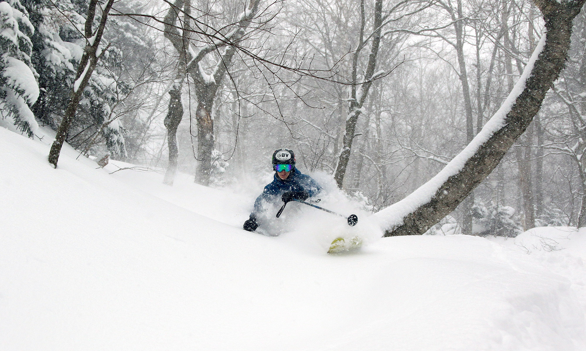
I measured 0.3 inches of snow today at the house due to the upslope snowfall activity that has been hanging around, bringing our location to 39.6 inches for March and 192.6 inches for the season. Details are in my post in the Northern New England thread at Americanwx.com. There is the potential for a larger storm this weekend, and there’s plenty of good discussion going on in the Americanwx.com New England Forum.
Stowe, VT 27MAR2011
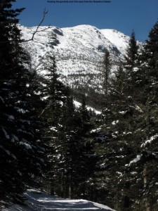
It was ski program day at Stowe today, and since Johannes and Helena are done with their programs at Bolton, Stephen and the kids tagged along with our group. I had to drop off Ty at the Stowe Shaw’s to be picked up for a birthday party, but I eventually caught up with Claire, Stephen, and all the kids just as they were heading up the gondola for their first Mansfield run.
Off piste conditions were fantastic, since the upslope pattern was delivering well and Stowe had seen a foot and a half of snow since the Monday event. I added some of the totals into my update at Americanwx.com, and it showed quite the north to south trend with Jay Peak cashing in nicely:
Jay Peak: 30” (359”) Stowe: 18” (311”) Bolton Valley: 14” (316”) Killington: 4” (251”)
In one of our traverses we stumbled onto a gully in the Lower Goat woods that everyone skied – it had some really steep walls and reminded me of one of those Jackson Hole gullies. To see the full text and pictures, head to the Stowe trip report from today.
Good powder in the local mountains
Waterbury event totals: 2.8” Snow/0.06” L.E.
After that quick inch of snow we picked up yesterday, that was it for snowfall down here at the house as far as I can tell. We were back up at Bolton for some more turns starting around midday, and it was snowing pretty hard for the first part of the afternoon. Friends that we met up there said that it had snowed like that all morning. It’s nice to see what’s going on up at Jay, because they were a bit left out of the pattern earlier in the season with so much activity focused to the south. I’ve added the 7-day and seasonal snowfall totals for some of the VT resorts below:
Jay Peak: 30” (359”)
Stowe: 18” (311”)
Bolton Valley: 14” (316”)
Killington: 4” (251”)
Right now the snowpack is 98 inches at the Mt. Mansfield stake, and if one looks at the SkiVT-L plot for the snow depths, this is right around the date for the typical maximum. The historical data suggests a small dip after the end of March, but the snowpack really seems to hang around at this level until roughly mid April before it actually starts to fall off., so I could see the peak snowpack depth being anywhere in that range, especially with the current weather pattern.
Bolton Valley, VT 26MAR2011
The upslope snow has been rolling in, and although we haven’t had a ton of snow from this event yet, snow surfaces are getting a nice freshening. This morning down at the house we were on our way toward picking up a quick additional inch of snow to put us at 2.8 inches for this end of the week event, and 9 inches for the week. Bolton was reporting 13 inches over that span, with the snow continuing to fall. Today we were back up at the mountain again for an afternoon session with Stephen and his kids, and for the first half of the afternoon it was snowing at a good clip. Everyone joined in for a run on Spell Binder, and using the knowledge about the aspects with best snow that the boys and I had learned yesterday, there were some really awesome bottomless turns available on the skier’s left. Even with just a few inches of additional snow, the skiing took quite a jump up in quality. We found the same snow setup on Tattle Tale, and all three boys had fun ripping up the powder in their own way. We gave Johannes first tracks on one line, and he decided that a figure 11 was the way to go, while Ty and Dylan accented his line with some curves. We’re starting to nickname Johannes “11”. For the full text and all the pictures, click through to the Bolton Valley trip report from today.
Bolton Valley, VT 25MAR2011
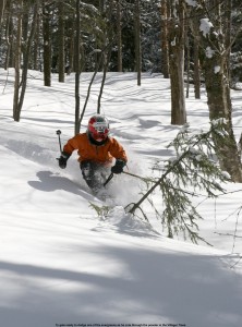
The boys and I hit the powder up at Bolton Valley today and found some great conditions. The snow continues to fall as indicated in the weather updates in the blog and the skiing just keeps improving. For all the details and powdery pictures, go to my March 25th report from Bolton Valley.
1.4 inches of snow here in the valley
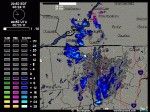
The upslope snow picked up last night and gave us a nice new coating of a bit over an inch down here, while up at Bolton they picked up a couple of inches. I added the radar image from yesterday evening showing how the snowfall exploded along the western slopes of the Greens. More details are in my morning post at Americanwx.com.
A little upslope tonight
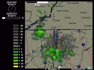
There’s a bit of snow falling and accumulating here, so presumably the mountains are getting some as well. It’s all small flakes that I’ve seen falling in the past 15 minutes, but I guess some larger flakes fell earlier because there are some huge globs on the snowboard and a couple tenths of an inch of accumulation. I’ve added the latest radar shot with this post.
Bolton Valley, VT 23MAR2011
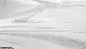
I headed up to the mountain for some turns this morning and got in my first powder of the week, with more powder likely to come as the upslope snow continues to fall. I skinned up at Timberline and found 3 to 5 inches of powder at 1,500′, and about 6 inches at 2,500′. The full details and pictures are in my Bolton Valley report from this morning.
A little more snow this afternoon
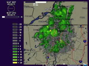
It started snowing steadily here in Burlington, and a look at the composite radar revealed a bit of precipitation coming in from the northwest. I’ve added the recent radar image here, and some additional commments are in the Northern New England thread at Americanwx.com.
5.3 inches at the house, 8 inches for the mountain
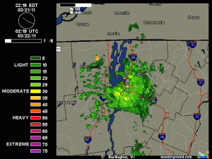
We picked up 5.3 inches of total snow with this event down in the valley thanks to the second burst of snowfall that came through last night, and up at Bolton Valley as well as Stowe, they picked up a total of 8 inches of snow. I’ve added a picture of the radar image from around 10:45 P.M. last night that shows the snow still streaming into the area. I’ve added the north to south list of storm accumulations for the Vermont ski areas below, and additional details can be found in my morning update in the Northern New England thread at Americanwx.com.
Jay Peak: 6″
Burke: 5”
Smuggler’s Notch: 5”
Stowe: 8”
Bolton Valley: 8”
Mad River Glen: 5”
Sugarbush: 5”
Pico: 4”
Killington: 4”
Okemo: 5”
Bromley: 2”
Stratton: 4”
Mount Snow: 3”
