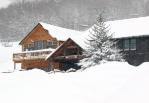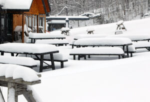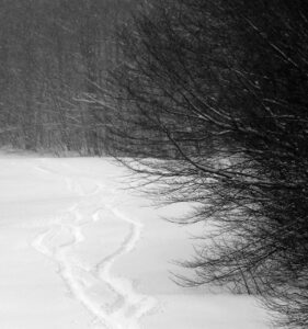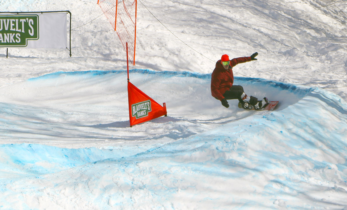
After some initial frozen precipitation at our house this morning, we’d had on and off rain in the valley heading into the afternoon. It had been steady at times, but nothing too heavy. I got a bit worried though when I encountered a couple of downpours while driving through Bolton Flats, because the thought of skiing in the pouring rain wasn’t all that enticing. I was happy to see that the rain changed over to snow around 1,500’ at the Timberline Base, so that alleviated the concerns about having to potentially be out on the mountain in a downpour. The drive up the Bolton Valley Access Road definitely gave its usual introduction to the local temperature profile – the temperatures ticked right down at a steady pace and dropped from the lower 40s F in the valley to the lower 30s F by the time I hit the base village.
I was getting concerned that the snow surfaces were going to be quickly tightening up as colder air moved in, but the lower mountain seemed to be just enough around the freezing mark that the snow remained soft. I could tell it wouldn’t be too long before the surfaces would be getting firm though – the wind had really picked up as the back side of the storm system was pushing through, and the Mid Mountain Chair appeared to close early because of it.
Our first widespread winter storm of the season came into the area this morning, and I had a chance to stop by Bolton Valley this afternoon to check out the snow.
Here’s the snow depth profile I found in the midafternoon timeframe:
The settled snow depths depended heavily on the underlying surface – grassy areas that insulated the snow from the ground tended to have a couple more inches of depth, so it really seemed like there was some consolidation/melting due to warm ground.
Even at 2,000’ in the Bolton Valley Village area it edged above freezing this afternoon, and it was somewhere in the 2,700’ elevation range where temperatures finally dropped below the freezing mark. The snow above the point was much less consolidated, so the snow below that elevation is actually better set up to serve as a base. Liquid equivalent thus far at our house for this storm is 0.70”, so the mountain should be somewhere in that range or higher.
The most notable jump in accumulations was between 1,500’ and 2,000’, and perhaps somewhere between there was when consolidation jumped a lot due to the temperatures. The increase in depth was really quite slow above 2,000’, and it was hard to see much of a change until I hit the freezing line around 2,700’ – the depth got a bump there because above that point it was still quite dry and hadn’t seen any consolidation.
The freezing line was dropping as the afternoon wore on, and backside snows had started up rather vigorously when I was heading home. That snowfall appeared to be confined to the higher elevations around here though, because I haven’t seen any back side snows yet down here at our house.
Today I headed to Bolton for turns, since it might be the last weekend for practical/productive touring there. Based on what I saw on my last Bolton outing a couple weeks ago, I figured the lower mountain would be discontinuous at this point, but the amount of snow on Spillway was obviously going to last a while. I decided to hike today vs. skinning, and I think that was the right call. The bottom half of the mountain has some decent areas of snow, but it’s discontinuous enough with plenty of dry ground for walking, such that hiking is the more practical option. Above Mid Mountain, one could skin up Spillway, but that’s really steep, and they’ve plowed Sherman’s Pass most of the way to the Vista Summit, so I used that for a lot of my ascent today.
The snow on Spillway is still continuous, and it was skiing great. There must have been some productive freeze/thaw cycles recently, because it was the best corn snow I’ve skied during this April/May period. Spillway is quite steep, so you get some of those nice fall-way turns, which are so much fun in good snow. At Mid Mountain on my way up I met a couple that was on their way down. They said that “Spillway was about as frosty as it’s been in a while”, and they weren’t kidding.
It’s fun traveling around the area right now and taking in the views as spring begins to make its presence known. You can see that greenery is appearing in the lower mountain valleys, and it’s just starting to make its slow creep up the mountainsides.
As it’s been for the past few days, it was quite windy today in the Champlain Valley, but with partly cloudy skies providing some sun, and the temperatures getting into the 50s F, it seemed like there might be enough warmth to make the slopes worth a visit. That thought was tempered somewhat as I headed into the mountains on the way home; the skies became notably cloudier, and the temperatures felt several degrees cooler, even at valley level. At that point I was definitely questioning if there was sufficient warmth at elevation for softening the snow, but it still felt like it was worth the quick trip up to Bolton for some turns.
On the way up the Bolton Valley Access Road, first signs of old snow snowpack were at ~1,400’, and first signs of the new snow left from our most recent storm appeared in the 1,800’ – 1,900’ elevation range. I’d contemplated skiing at Timberline if the snowpack was continuous enough, but it’s too broken up down at those elevations to be worth it.
As expected up at the main mountain, there’s still plenty of snow for top-to-bottom turns on the main routes like Beech Seal and Spillway. Sherman’s Pass seems close to continuous, but there’s at least a break or two in the snowpack there. While the quantity of the snow is looking quite good, we’re still going to need some more warmth and temperature cycling to get the snowpack to some quality corn. Even with Bolton’s western exposure and afternoon sun, a lot of terrain still needs some rounds of softening. The combination of temperatures, which I guess were somewhere in the 40s F, and the cooling breeze that we’ve had the past few days, just isn’t enough to really soften the snowpack. Granted, I was out on the mountain in the later afternoon period when the sun angle is getting lower and temperatures are starting to drop off, but it was obvious that only areas in direct sun had seen much cycling of the snow to get to appropriate quality corn, and even those areas still need work. Heck, most of terrain above 2,000’ that was not in the direct sun, still had snow from our most recent storm earlier this week. I toured up to about 2,500’, but didn’t push above that elevation that because it was only getting cooler and windier as I ascended, and the quality of the snow just didn’t seem to be worth it.
So while spring snow conditions weren’t quite there today, the recent snows and good preservation we’ve been seeing do bode well as we head into the next several weeks of the season. Tomorrow’s forecast around here seems sort of similar to today’s, so I wouldn’t expect primo ski conditions, but Sunday is supposed to kick things up a notch with temperatures around 60 F and more sun. That might be enough to get some of that south-facing terrain into good shape.
I wasn’t able to get out for a ski tour this morning, but I did have enough time to head out to Bolton later in the afternoon and check out what this most recent storm had to offer. As we know, a great feature of the March through June portion of the ski season is the long lasting daylight, and that makes late afternoon and even evening ski sessions very practical.
It kept snowing right through the day today, but it did warm up enough to melt back the earlier snow a bit, especially the lower one went in elevation. There was still a solid coating of snow in place even in the late afternoon at the base of the Bolton Valley Access Road, and here’s the storm accumulations profile I found at that point:
This storm was unquestionably another solid resurfacing of the snowpack at elevation. The mountains must have had at least an inch and a half of liquid equivalent as snow, and combined with the density of that snow, it was enough to resurface slopes of just about any angle, right up to the steepest of the steep. The density of the snow meant that it covered, and stayed stuck to, just about every slope out there. It’s easy for snow to be too dense to enable quality turns though, and this storm didn’t just flirt with that line, it flew way past it. Even the folks out in the west coast ranges that routinely deal with Sierra Cement and Cascade Concrete would have cried after dealing with this stuff.
There are times when you’re ski touring, and you can’t quite tell what the quality of the turns is going to be like until you really rip off the skins and start your descent; this was not one of those times. Right from the start of my tour, I could tell that the skiing was going to be disastrous. On the lower half of the mountain from say 2,000’ on up to ~2,500’, the snow was super dense, with a bit of melting going on to increase the density just a bit more for good measure. I held out a little hope that the quality of the snow in the higher elevations would improve, as it often does with lower temperatures producing drier snow that skis better. “Ha”, not this time. As I continued to ascend, the snow conditions only got worse. The snow went from something that was super dense and a bit wet, that you really didn’t sink into much… to an even worse version of that. As temperatures dipped below freezing on the upper mountain, the top couple of inches of snow has become a solid mass that produced the most horrible, upside-down snowpack you could imagine. The skiing was challenging, dangerous, disgusting, and everything in between.
So the snowfall from this storm was indeed a great resurfacing, and a solid addition to the mountain snowpack, but it would have taken another good half foot or so of drier snow to really get the immediate quality of the ski surfaces up to snuff in the Bolton Valley area. It was snowing while I was out there today, with some nice steady snow at times, but there was probably only another inch or two of additional snow above the dense stuff, so not enough to really bring up the snow quality to something more respectable.
Every spring snowstorm is different though, and that’s part of the fun of experiencing them, and we’ll just have to see what the next one does.
After skiing yesterday’s fresh powder out on the hill, I hadn’t really planned to ski today, since the forecast called for gray skies and temperatures heading above the freezing mark. We were thinking we might have left one of our water bottles up around 2,800’ on Wilderness during yesterday’s ski tour though, so that was incentive enough to get me out for another go. If in doubt, it’s generally good to get out and get some exercise anyway.
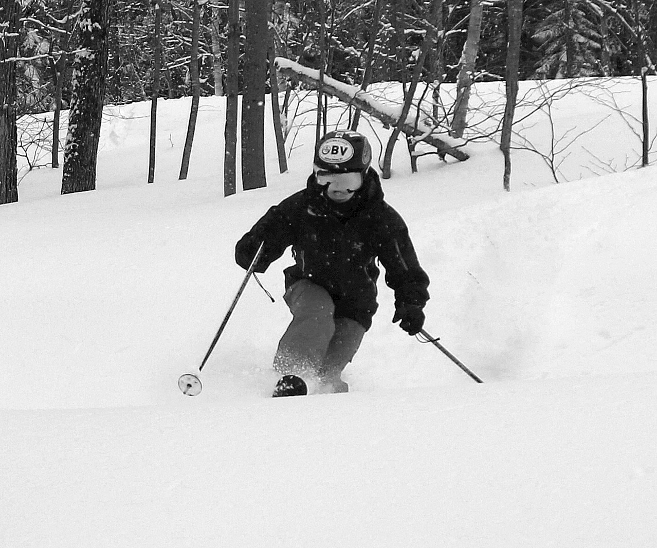
I made my way up to Bolton Valley around midday, and whereas temperatures yesterday were in the upper 20s F when we’d arrived, today they were in the upper 30s F. Some of the new Friday/Saturday snow had definitely melted back, and that effect decreased with increasing elevation, but the freezing line was still somewhere above the 3,000’ mark. So, I never encountered any snow yesterday that had been fully preserved below freezing. With that said, the snow skied really well. On the upper mountain, the new snow had seen little settling, and untracked areas skied like dense powder vs. any sort of mush. At all elevations, even where the snow was transitioning due to the above freezing temperatures, it seemed to be doing it in a subtle way. It wasn’t sticky, just dense, and perhaps that slow change was due to the cold overnight temperatures and the overcast keeping away dramatic warming from direct sunlight. In thinner areas where the new snow had melted back, the skiing typically transitioned right to the underlying corn snow, and that skied really well. It was sort of strange to move from areas of dense powder skiing, right to spring corn snow, but somehow it worked.
In any event, the water bottle ended up being right where we thought it was, so that part of the tour was quite successful! I of course used the opportunity of being up at the resort to grab another Spicy Tuna onigiri from the Miso Toh Kome stand, and I brought some onigiri home for the boys as well.
With the snow from this latest storm, E and I headed up to Bolton for a session today with Ty, who’s back from school on spring break. We got to the mountain reasonably early, with some concern about how the powder was going to hold up as the day warmed, but even as of midday that wasn’t a concern at elevation. It was probably in the 20s F when we arrived, and combined with the breeze, it was chilly. It was excellent touring weather, and the powder stayed cold and dry. Even at midday, the higher elevation snow was dry, although snow in the mid to lower elevations in directly sunlight was starting to be affected by the sun.
The mountain was reporting 4 inches of new snow, but I’d say that was a fairly conservative report – I was finding 5-6” new at the 2,000’ elevation, and as much as 8” up above 3,000’. We started our session with a tour at Wilderness up to ~2,800’ or so. Wilderness is 100% natural snow, so the decent amount of base in many spots was impressive, but the usual windswept or sunny spots were lean on coverage. Those areas of lean coverage were fine for grassy and/or low angle slopes, but you wouldn’t have wanted to tackle anything steep that didn’t have existing base.
I’d say the very best snow we encountered yesterday was on Alta Vista – the ridgeline and skier’s right of the headwall were windswept as usual, but the protected left side of the headwall held some nice, semi-packed snow. Below that though was the real gold mine. They had groomed the skier’s left of the trail, but the skier’s right held about 8 inches of chowder that was mostly bottomless, and we couldn’t believe how good the skiing was there. We were wishing they hadn’t groomed anywhere if it could have meant the snow would have been like that. The Vista Quad was on wind hold until about midday though, so we were up on Alta Vista not too long after the lift started running, and I think that helped set up the incredible snow quality there.
It was great to catch a day of skiing with Ty while he was back. Although he’s got plenty of breaks between Thanksgiving, the long holiday break, sinter break, and spring break, you still never know when schedules and good snow might line up. Ty said today was probably his best Telemark day ever in terms of comfort level and confidence with his turns, so that was exciting to hear. He’s still learning and improving, even at this age. He also finally got to visit the Miso Toh Kome stand for the first time, and he’s a total sushi fiend, so he loved it. I’ve been sending him pictures every time I’ve gotten food from there over the past few weeks to build it up… and maybe give him a bit of a hard time about missing out as well!
With the way it was pounding heavy snow when I left Bolton yesterday, and their morning report indicating a foot of snow for the storm total at that point, I figured another ski session was in order today.
Snow levels had dropped all the way to the valleys yesterday, but they really didn’t start picking up much accumulation at those lower elevations until the evening. Even the valleys were coated in white this morning, so accumulations started there, and the mountains just tacked on more.
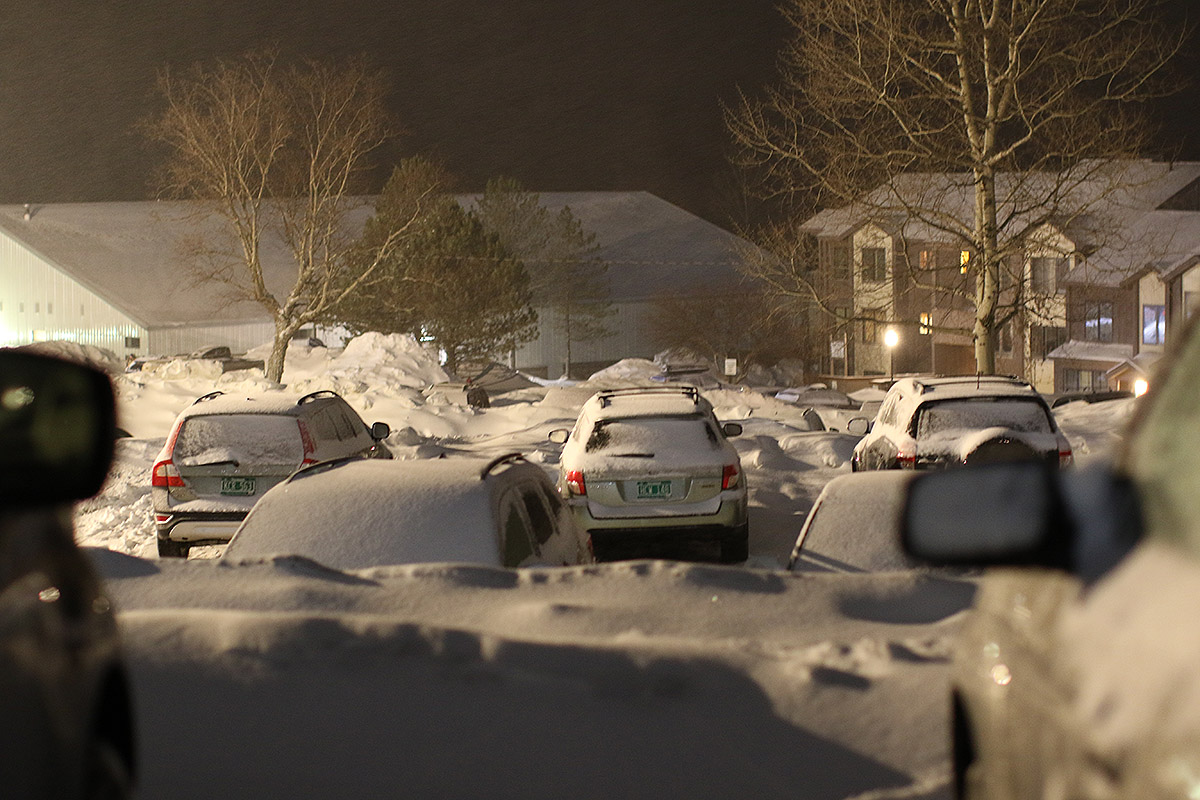
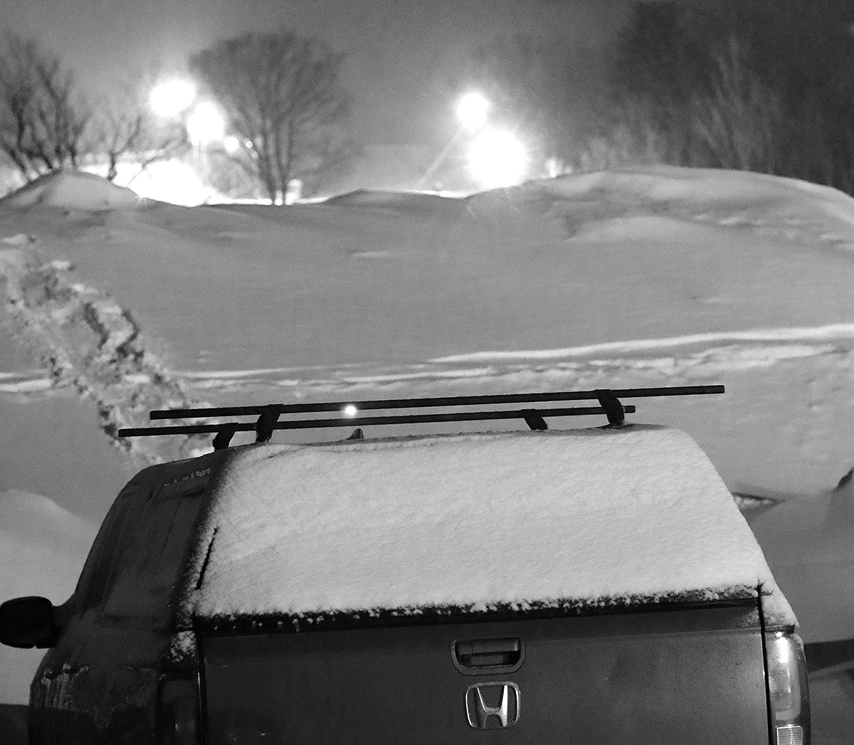
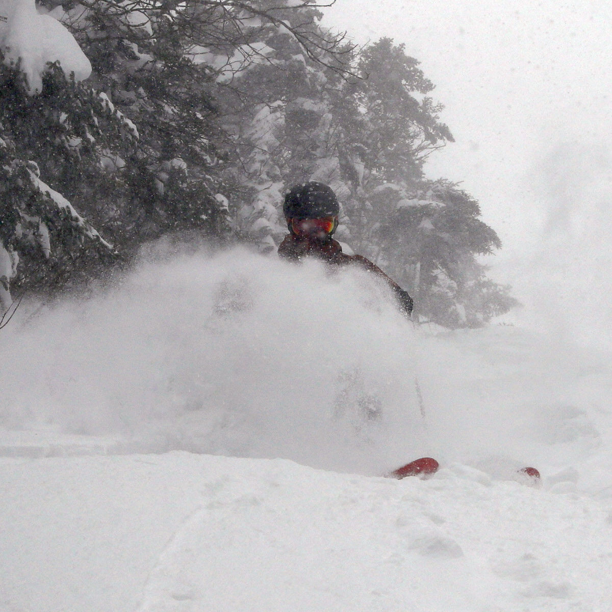
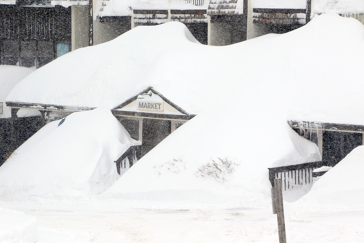
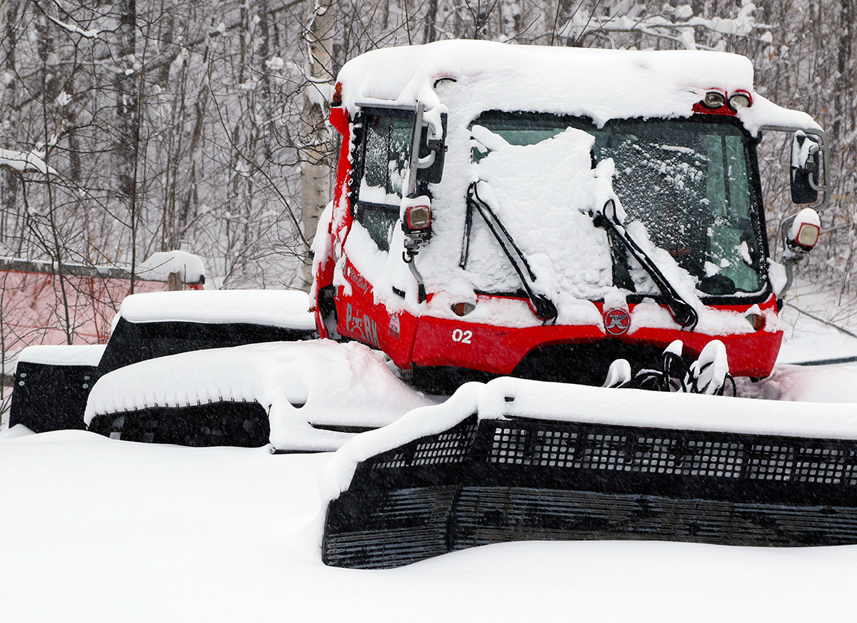
When I first got up to the mountain this morning, I encountered blizzard like conditions due to the snowfall and wind, and the wind was certainly stronger than I saw at any point yesterday. Like yesterday, the snow would often come in pulses – you’d have light to moderate snowfall with a brightening of the sky, and then visibility would drop and you’d encounter heavy snow. At one point on today’s tour, intense snow came on so fast that visibility dropped to ~100 feet in just seconds. I was in the middle of taking some photos, and had use some of the initial exposures because part of what I was shooting about 200 feet away literally became invisible behind the snowfall, and I just had to move on.
The temperatures this morning was pretty cold, down in the single digits F, so I found the snow a bit slow except for the less settled/lower density areas. The more consolidated areas of powder with the finer grains or wind-based compaction were just on the slow side due to the combination of temperatures and the snow density
“Based on my ski sessions from yesterday and today, I wouldn’t put the current skiing in the top 20% of the season’s turns, but probably into that next quintile down. It was definitely good, but even in this fairly lackluster season, we’ve had a number of better storm cycles in terms of both total liquid equivalent, subsurface quality, and powder quality/dryness.”
Based on my ski sessions from yesterday and today, I wouldn’t put the current skiing in the top 20% of the season’s turns, but probably into that next quintile down. It was definitely good, but even in this fairly lackluster season, we’ve had a number of better storm cycles in terms of both total liquid equivalent, subsurface quality, and powder quality/dryness. With the continued snowfall, today’s additional liquid equivalent was enough to bump up the resurfacing to really encompass blue and some black terrain. The biggest bump I think this most recent event gets when it comes to the overall quality of the ski experience was due to skier numbers, which were way down. I was touring in the late morning today and there were only 3 or 4 tracks coming down Lower Turnpike where the Wilderness Uphill Route is located. A typical midseason day would definitely have seen more activity by that point. Sure, it was a Monday, but yesterday was sort of the same; it’s just that time of year when many people don’t have the drive to ski because it’s not wintry where they are, or they’ve moved on to other activities, or whatever. That’s of course one of the reasons March and April are so great in the mountains – we keep getting snow, and the availability of fresh tracks is a little easier.
I’ve updated yesterday’s accumulations profile with the additions I saw this morning:
340’: 0” -> 1-2”
1,000’: T -> 2”
1,200’: 1” -> 2-3”
1,500’: 2” -> 3”
2,000’: 4” -> 5”
2,500’: 5” -> 6”
3,000’: 6”
3,300’: 6”+
Today’s tour only brought me up to ~2,700’, so I can’t update those numbers from the higher elevations, but the trend between the additional snowfall and settling seemed to be to tack on another inch or two to what was present yesterday afternoon.
We may have another storm coming into the area for next weekend, so we’ll see if we get some turns out of another spring storm cycle.
Even with Powderfreak’s timely snow updates providing knowledge of how much snow fell and how it was skiing on Mansfield today, you never really know quite how it’s going to be until you get up on the mountain. I’d seen Bolton’s initial morning report of 1-3” in the 2,000’-3,000’ elevation range, so when I found 2” at the Timberline Base at 1,500’ on the way up the Access Road, I knew the accumulations had been increasing through the morning.
Arriving at the main base, I started out the ski day with a tour up to the Wilderness Summit at ~3,150’, and someone had also broken trail up Ricker Mountain, so I followed that for a bit and probably topped out around 3,300’. This was one of those days where it was definitely nice to be able to start touring above 2,000’ with the elevation dependence of the snowfall.
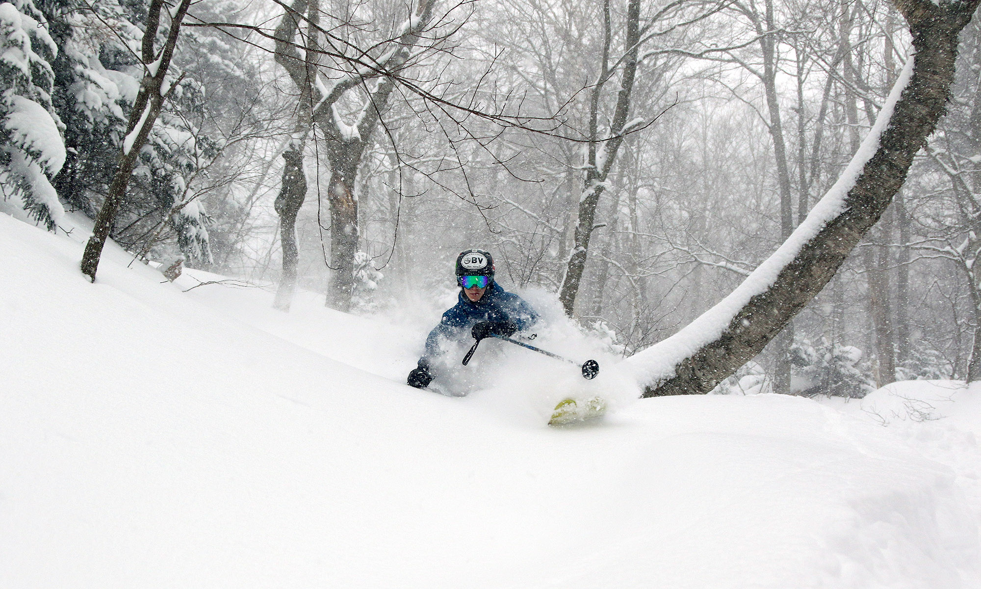
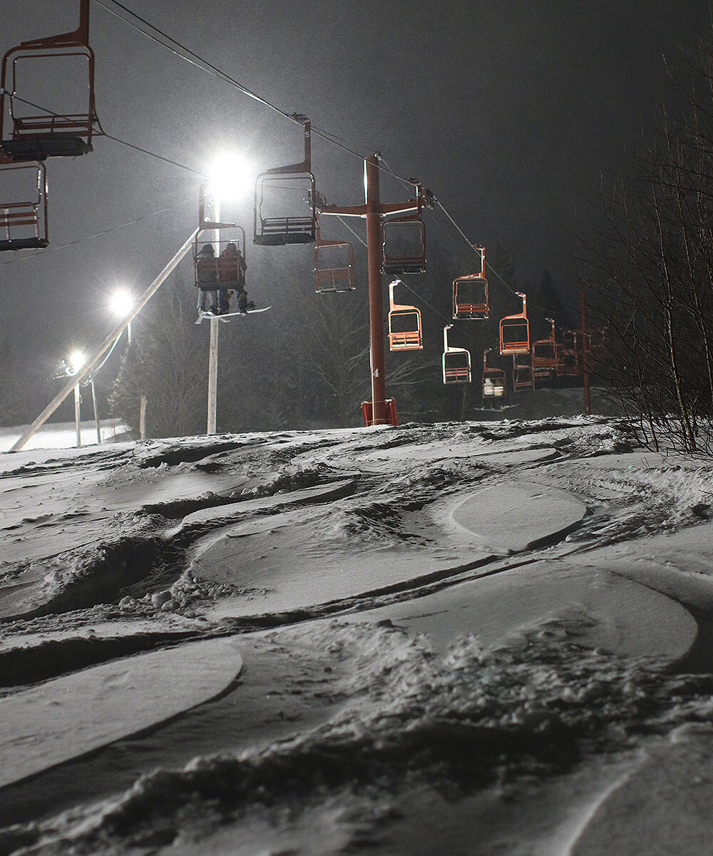
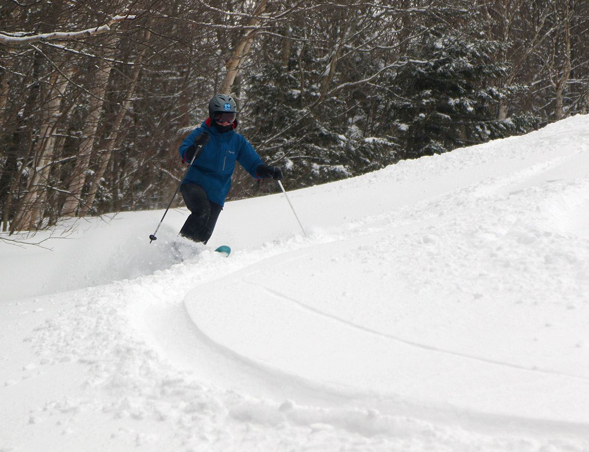
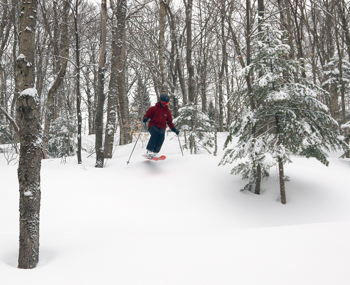
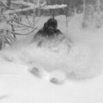
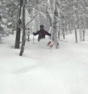
The powder skiing was great, so after my tour, I hung around for some lift-served laps as well. There was plenty of fresh snow in those runs, since I was able to connect over to parts of Wilderness on those runs for powder laps. As of midday, there was already a solid resurfacing of the low angle terrain, so aside from any scoured areas, the powder on that terrain was skiing beautifully. Even low-angle terrain that had been skier packed was excellent, so this new snow had adhered nicely to the subsurface. On one of my lift-served runs, I saw this in play with the quiet turns of skiers on Bear Run and Sprig O’ Pine as I passed over on the Vista Quad.
I’m not sure how much liquid equivalent has been put down at elevation with this storm, since we’re certainly not getting as much liquid down here in the valley as the mountains are. We’ve had about 0.12” of liquid from this event down here, but based on how the powder turns felt today, the mountains had probably seen 0.3-0.5” up high as of midday? Anyway, medium angle terrain was a mixed bag in terms of sufficient resurfacing. In areas of untracked powder over at Wilderness, I was generally getting bottomless turns even up to some single black terrain. There were some great turns in areas that hadn’t been scoured. When I was over skiing the lift-served terrain on Vista though, you were definitely getting down to the old base on the blues and blacks – there certainly hasn’t been enough liquid equivalent put down with this event to hold up to those levels of skier traffic.
Today it was snowing all the way down to the valley floor, but accumulations didn’t start until ~1,000’. Here’s the new snow accumulations profile I found around midday:
340’: 0”
1,000’: T
1,200’: 1”
1,500’: 2”
2,000’: 4”
2,500’: 5”
3,000’: 6”
3,300’: 6”+
Once above the 2,000’ level, there weren’t any massive increases in accumulations that I saw, just sort of slow, steady increase, as the profile shows. The powder was meaty as Powderfreak had indicated in his report, so powder turns were great.
The snowfall today ranged from huge, pounding flakes, to lighter episodes where the snow continued, but the sky would brighten. It was really pounding when I left, and made me want to stay for another run or two. I’m not sure if it can keep up at today’s snowfall pace overnight, but tomorrow would obviously be another great day if it did.
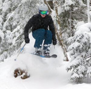
In terms of not quite knowing what it’s going to be like until you get there, today definitely delivered. Overall, the snow was great, and so was the scenery. It was often snowing hard with those big flakes, but the light levels and visibility were often pretty high because it’s now late March.
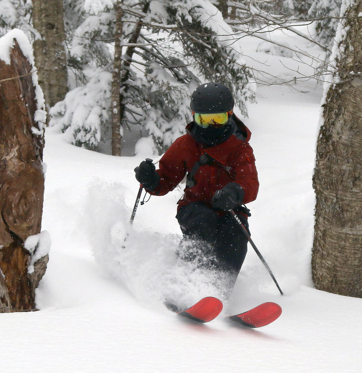
The forecast this weekend seemed generally on the dreary side, but I did want to get out for some turns and exercise, and early this afternoon seemed like a decent window. The colder air and snow were expected to move into the area later in the afternoon, so midday offered the chance at spring snow that wouldn’t have tightened up, and it would be ahead of any rain that might fall on the lower elevations of the mountain.
Indeed I found some nice spring conditions today at Bolton Valley, all the way up above 3,000’. There’s a lot of good corn snow out there, but some trails have those still slick areas of denser snow and ice underneath that you have to watch out for. It wasn’t warm enough (generally in the 30s to near 40 F at 2,000’+ where I skied on the main mountain today) to really soften those densest spots, so the best skiing involved working your way around those areas and using the available corn snow. Some trails (like Alta Vista and Hard Luck) had more corn snow available and fewer slick spots, while others (like Spillway and Beech Seal) had more of those icy/dense spots to work around.
The good news is that all that dense snow is going to last quite a while as we head into the spring. Most natural snow trails had some coverage issues, so skiing was generally on routes with manmade snow today. There’s still a lot of natural snow in the elevation range of the main mountain though (the snowpack depth at the Mt. Mansfield Stake is around 40 inches), so a lot of terrain would be in play with natural base for any large storm cycles that come through in the next few weeks.
When I first got to the mountain this afternoon, the cloud ceiling was up and down in the 2,500’ – 3,000’ range and there wasn’t any precipitation. On my last run though, it was snowing up at ridgeline level, and by the time I was leaving, the frozen precipitation was just starting to make it down to the Village elevations. The snow level must be well below 2,000 now though, because I can see that the precipitation is all snow on Bolton’s main base area webcam.