Bolton Valley, VT 06NOV2025

An image of ski tracks in powder snow after a November snowstorm below the Wilderness Double Chairlift at Bolton Valley Ski Resort in Vermont
An image of ski tracks in powder snow after a November snowstorm in the Wilderness area at Bolton Valley Ski Resort in Vermont
Our most recent winter storm dropped notably drier powder on top of the existing base of snowpack, so it made for great turns and the best powder skiing of the season so far!

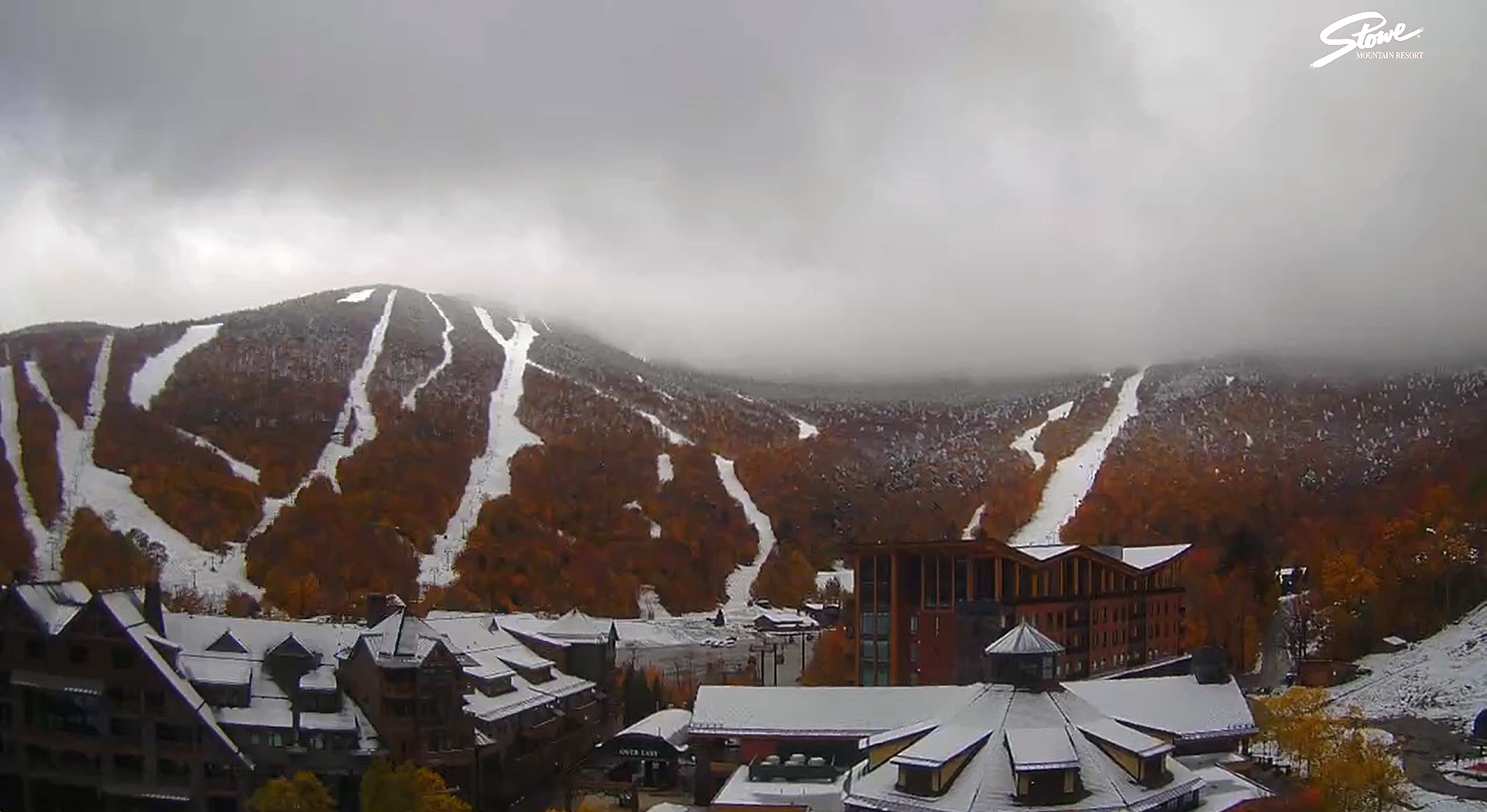
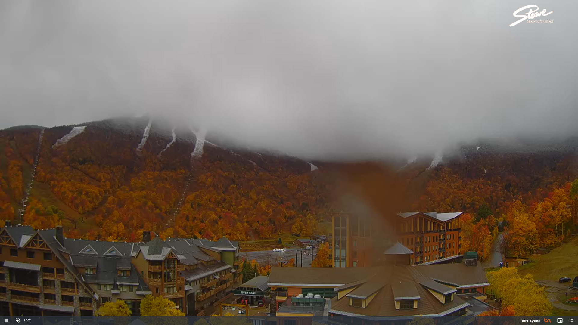
The clipper system affecting the area yesterday into today dropped another round of snow in the mountains and we even saw snow transiently accumulating in some of the lower valleys. This system was similar to the last one that affected the area on Friday into Saturday, but temperatures seemed to be a bit colder on the back side this time around. This morning when I checked the view on Bolton Valley’s Base Lodge Webcam, the accumulations appeared to be a bit more robust than last time around. Seeing that, I knew there would be plenty of snow for using skins right from the base, so I geared up for a ski tour and headed to the mountain.

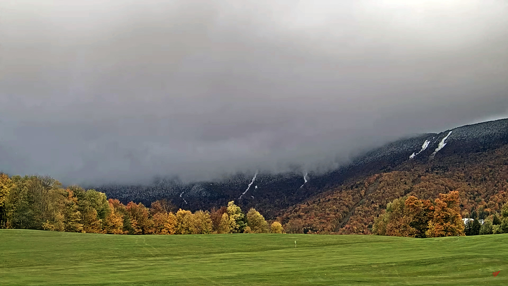
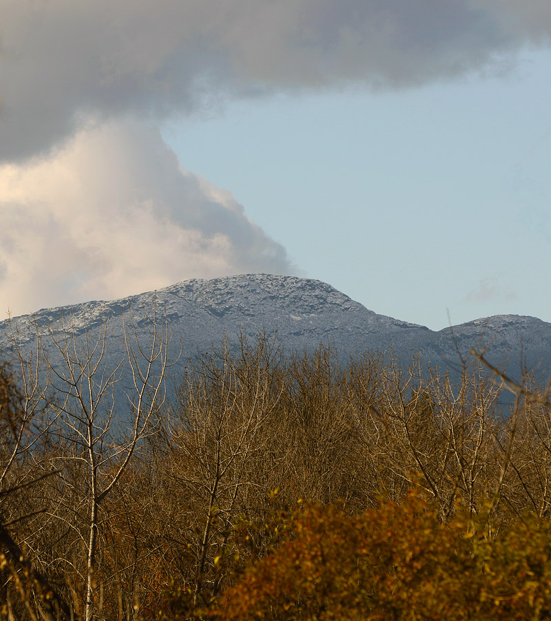
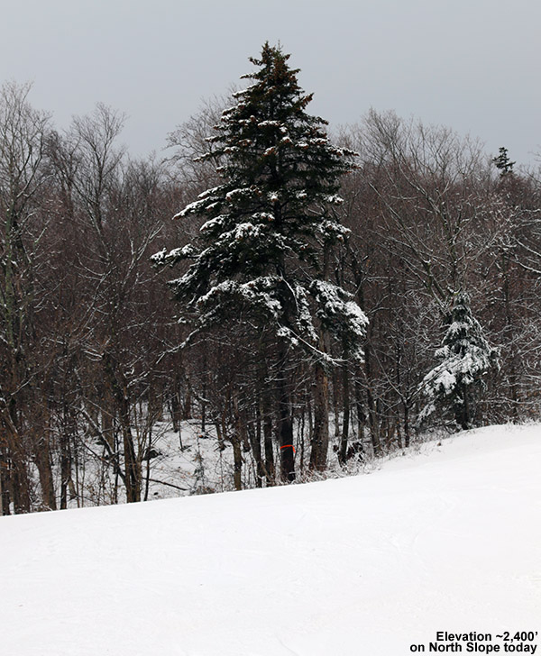
While the snow line was still fairly high with this system, the local ~2,000’ peaks around us in the Winooski Valley were coated with white for their top ~300’ of vertical, so that suggested that the snow level had dipped just a bit lower than what we’d seen over the weekend. Heading up the Bolton Valley Access Road, I saw the first traces of snow around 1,200’ just like Saturday, but Timberline showed a decent covering down to its 1,500’ base, and up in the Village at 2,000’ I found 3-6” of snow, which was more than what had accumulated Saturday morning.

An image showing a wintry November view of the base area Village at Bolton Valley Ski Resort in Vermont
Today featured very wintry scenes in the Bolton Valley Village

Temperatures were cooler today than they were on Saturday, and even at 2,000’ the temperatures were easily below freezing. The cooler temperatures meant that the powder was of much higher quality than what we had over the weekend, and with some base snow already in place, the quality of the powder skiing took a big leap forward from where it had been. Compared to what was available on Saturday, today was simply easy breezy midwinter-style powder skiing. All you had to do was lean in and carve.

When checking snow depths today, I couldn’t really differentiate the new snow from the old snow that was already present from the last system, but the updated elevation-based snow profile is below. In the list, the first depth values are what I found on Saturday, and the second depth values are what I observed today.

Nov 1 –> Nov 6
1,000’: 0” –> 0”
1,200: T” –> T
1,500’: T-1” –> 1”
2,000’: 1-4” –> 3-6”
2,500’: 4-6” –> 5-9”
2,800’: 7-11” –> 9-12”
3,150’: 7-11” –> 10-16”

With every one of these storms that passes through and drops snow, the potential increases for this to be the start of the winter snowpack. If we continue with typical November temperatures, I wouldn’t expect the higher elevation snow to melt too quickly, so we’ll just have to see if there are any warm spells or big rainy systems in the future that might be able to put a dent in the snowpack.

An image snowing fresh November snow adorning a car protected by a car cover in one of the Village parking lots at Bolton Valley Ski Resort in Vermont
Fresh November snow adorns a car protected by a car cover in one of the Bolton Valley Village parking lots.

Bolton Valley, VT 01NOV2025

An image of Dylan and his friends from UVM in the parking lot as they get ready to ski during the first substantial storm of the 2025-2026 ski season at Bolton Valley Ski Resort in Vermont.
An image of the snow depth near the Wilderness Summit on November 1st, 2025 after the first substantial snowstorm of the 2025-2026 ski season at Bolton Valley Ski Resort in Vermont.
In sheltered areas at Bolton Valley today, there was close to a foot of snow accumulation near the 3,000′ level as Vermont got hit with its first substantial winter storm of the 2025-2026 ski season.

The Vermont ski season is definitely underway! As forecast, the snow levels with this most recent storm began to drop yesterday evening, and the higher elevations picked up some decent snow accumulations by morning. The views from Bolton’s Base Lodge Webcam seemed to suggest just an inch or two of accumulation at 2,000’, and unfortunately their Vista Summit Webcam was covered in snow, but the Allyn’s Lodge Snow Stake Webcam at Sugarbush suggested that there were some decent accumulations around 3,000’. So, I decided to head up to Bolton Valley to at least get in a hike in the snow and check out the actual accumulations in person. The snow levels with this storm definitely didn’t make it down to the lower valleys, and even the local 2,000’ peaks surrounding the Winooski Valley in our area didn’t seem to have any visible accumulations.

An image of a snowy vehicle in the main Village parking area on November 1st, 2025, after the first substantial snowstorm of the 2025-2026 ski season at Bolton Valley Ski Resort in Vermont.
I found anywhere from 1 to 4 inches of snow at the Bolton Valley Village elevations today depending on each location’s exposure to the wind.

Those observations left me wondering just how high the snow levels had been, but it was clear as I ascended the Bolton Valley Access Road that the spine of the Greens had done better than some of the other surrounding areas. On my ascent toward Bolton Valley, I saw the first traces of snow around 1,200’, and up at the main base at 2,000’, accumulations were definitely more substantial than what the base area webcam had suggested. There was plenty of wind with this storm, and while exposed areas may have only accumulated an inch or two of snow, areas out of the wind held 3 to 4 inches of dense coverage.

An image from the Wilderness Summit on November 1st, 2025, after the first substantial snowstorm of the 2025-2026 ski season at Bolton Valley Ski Resort in Vermont.
A view from Bolton’s Wilderness Summit today

I started hiking the Wilderness Uphill Route with my skis on my pack, but within a couple of minutes I pulled out my skins and started skinning. It was clear that there was more than enough coverage to be skinning instead of walking if you wanted to, and there was a skin track in place as well. Snow accumulations increased all the way up to near the 3,000’ elevation range, but much like what the Sugarbush webcams had shown, where the 3,125’ stake had 5 inches of snow and the 3,900’ stake showed less than an inch of snow, accumulations sort of fell off as you hit the ridgelines above 3,000’. It must have been those winds – they really pounded and scoured the upper elevations relative to those middle elevations.

Here’s the snow accumulations profile I observed today in the Bolton Valley area during my tour in the midday period:

1,000’: 0”
1,200: T”
1,500’: T-1”
2,000’: 1-4”
2,500’: 4-6”
3,000’: 7-11”

An Uphill New England check in sign at the Wilderness Summit at Bolton Valley Ski Resort in Vermont.The forecast today suggested that at above 2,000’ the temperature was never going to go above freezing, and I’d say that’s what I observed. The temperature at 2,000’ was right around freezing and the snow there was a bit denser and softer, then in the middle elevations it was denser and colder with some upside-down consistency, and them up around 3,000’ the temperatures were well below freezing and the snow was notably drier. The snow was still a bit on the denser side, but it didn’t have that upside-down feeling of the middle elevations and turns were easier.

When I finished my ski tour and got back to my car, I saw that I’d missed a call from Dylan, so I called him back and he said that he and his crew from UVM were just at the base of the access road on their way up. So, I hung out for a bit, met them when they arrived at the base, and gave them the beta on everything I’d found on my tour. They subsequently had quite a fun tour of their own based on the video footage I saw later when they swung by the house, so it was great to see that everyone had a safe outing, and they kicked off their ski season with style!

An image of Dylan and his friends from UVM in the parking lot as they get ready to ski during the first substantial storm of the 2025-2026 ski season at Bolton Valley Ski Resort in Vermont.
Dylan and his friends from UVM also headed up to Bolton Valley today to get out into the first substantial storm of the 2025-2026 ski season in Vermont.

First Vermont Snows for the 2025-2026 Winter Season!

A Photo of October snow on Mt. Mansfield taken by Scott Braaten
An image of the first official snow at the Mt. Mansfield Stake in Vermont for the 2025-2026 winter season
The first touches of snow recorded at the Mt. Mansfield stake for the 2025-2026 season

It’s been a reasonably warm fall season with many beautifully dry days featuring blue skies to enjoy the foliage, but the change in seasons is becoming evident now as we approach the end of October and move into a much wetter pattern. It’s interesting to note that over in New Hampshire, Mt. Washington had multiple episodes of snow in August, but they didn’t record any snow in September. This new influx of systems into the area has seen a return of their snow however, with multiple accumulations over the past few days.

I haven’t seen any reports of snow here in Vermont prior to yesterday, but now they’re coming in, so this stretch likely marks the kickoff to the 2025-2026 Vermont snow season. Yesterday morning at 9:40 A.M. Powderfreak reported that the precipitation was snow above 3,500’ on Mt. Mansfield, and later in the evening there was some video posted of the snow falling up at Jay Peak. There was also a post showing what was probably the first snowman of the season on Whiteface. As of this morning, Powderfreak posted images of snow falling on Mt. Mansfield and then the initial accumulations up at the Cliff House. The first accumulation of the season was recorded at the Mt. Mansfield stake, and by the afternoon, accumulations had made it down to the middle elevations of Mt. Mansfield, so there we go – the Vermont snow season is on!

Third round of early season snows for Vermont’s Green Mountains have been the most impactful yet

An image showing a mid-October 2024 snowstorm with over a foot of snow in the upper elevations of Stowe Mountain Resort in Vermont
An image showing mid-October snow accumulations in the mountains as viewed from the golf course webcam at Sugarbush Ski Resort in Vermont
The Sugarbush Golf Course Webcam was starting to reveal the mountain snows on Tuesday as our latest round of winter weather hit the Greens.

We’re wrapping up our third round of early season snows here in the Green Mountains of Vermont, and this cycle has certainly raised the bar with respect to accumulations. For several days, the weather modeling has shown the potential for a solid shot of snow at elevation, and as of Sunday’s runs, it was becoming more obvious that the event was coming together.

Personal observations related to this latest cycle of snow began for me on Sunday – I was up at Bolton Valley around 2,500’ and was getting into some frozen precipitation even down at that elevation. Right around that time, Powderfreak reported in from the upper elevations of Stowe Mountain Resort at the Gondola with a picture of big flakes coming down. As of later that afternoon, the snow level was around 3,200’, but it was expected to potentially mix all the way down to the valley floors by Monday. Late that evening, the 3,000’ Lookout plot on Mt. Mansfield was showing about a half inch of snow, so accumulations were clearly beginning.

By midday Monday, the Mt. Mansfield Lookout plot was at 2 inches of accumulation, and later that evening, snow was mixing in down to the valley floors as expected.

As of Tuesday, snow accumulations were pushing farther down the mountainsides, and the evening update from Powderfreak was that the 3,000’ Lookout plot had seen 7 inches of snow up to that point in the event. Snow was even mixing in with the rain down at our house at the 500’ elevation in the Winooski Valley, and our site recorded its first trace of snow on the season.

An image of mountain snows with fall foliage during a mid-October snowstorm at Stowe Mountain Resort in Vermont
By Tuesday, accumulations were starting to appear in the upper elevations of Mt. Mansfield, with snow levels continuing to drop and accumulations jumping as the event continued on into Wednesday.

Wednesday was the culmination of the event, with accumulations on Mt. Mansfield topping out around 15 inches. At Stowe Mountain Resort, the snowmobiles and snowcats were out trying to open the Gondola for summer/fall operations for the tourists. The snow depth at the famed Mt. Mansfield Stake came in at 12 inches, which is certainly solid for mid-October depths.  Powderfreak put together a great collection of photos from the upper elevations of Mt. Mansfield that nicely showed the accumulated results from this early season snowstorm.

This was a great early season event for the local mountains, and even at elevation, there were still enough leaves left on some of the trees to create excellent snowliage images.

Accumulating snow for the mountains of Vermont

An image of the Mt. Mansfield Chin in Vermont with some early season October snow
An image of foliage in the Newport, VT area along Lake Memphremagog with the mountain Owl's Head visible off in Canada.
Foliage in the Newport, VT area along Lake Memphremagog with the mountain Owl’s Head visible off in Canada.

A low pressure system moving along the coast of New England brought a chance for some accumulating snow to Vermont starting last night, and white could be seen in the peaks this morning.  The snow line over here in Vermont seemed to be around 2,500’, with a very sharp elevation cutoffAccumulations were 3-4” up around 4,000’ on Mt Mansfield, and similar atop Jay Peak.  I heard reports of some frozen precipitation up high earlier this season, but this was the first notable accumulation around here.  Off to the east over in New Hampshire and Maine, the snow line was much lower, and accumulations were even more substantial.  Some accumulations in northern New Hampshire were over a foot.

An image of the Mt. Mansfield Chin in Vermont with some early season October snow
The Mt. Mansfield Chin today with some early season October snow

While in many areas around the state, the leaves have mostly fallen and it’s looking like stick season, there are still a lot of beautiful scenes with fall foliage.  We were up in Newport today for a soccer game, and the views of foliage along Lake Memphremagog were beautiful.

Stowe, VT 15NOV2015

An image of a snowy tree along the North Slope trail at Stowe Mountain Resort in Vermont
An image of melted snow pouring off the roof of the Mansfield Base Lodge at Stowe Mountain Resort in Vermont
Warming up after yesterday’s new snow

I wasn’t able to head out to the slopes back in October when we had our first notable storm of the 2015-2016 winter season, but the storm affecting the area this weekend looked like it was going to be a bit bigger in the Northern Greens, so I was hoping to find a way to get out to the snow. With this storm, snow started falling in the mountains on Friday afternoon as the temperatures came down, and by Saturday morning the freezing level had dropped all the way to the valley floors and we woke up with a coating of white on the ground at the house. It continued to snow at our place all morning, and with temperatures staying cold, it would have been a great day to head to the mountains and make some turns in the fresh powder. Unfortunately, I was still under the effects of a cold that had come on at the end of the week, and I was in no condition to head out into the cold and snow.

This morning though, I was feeling notably better, and it seemed like a trip to the snow would be in order. Assessing what I’d seen for coverage on the Bolton Valley Web Cam at 2,100’, and comparing the pictures that Powderfreak posted yesterday from ~2,500’ on Mansfield, it looked like Stowe had picked up the better accumulations, so I set my sights there. Around midday I was ready to head out. I knew that the snow wasn’t going to be dry in the lower elevations, because temperatures were already well up into the 40s F, but even if the snow turned out to be sticky, I’d still get a nice hike out of the deal.

The first traces of snow along the Mountain Road appeared in the 900’ – 1,000’ elevation range just below The Matterhorn, and up at the Mansfield Base Lodge there was about an inch of patchy wet snow. A quick survey of the area had shown me that North Slope had some of the best-looking coverage, and apparently, that was because the resort had actually made some snow there. I threw my skis on my pack, unsure of whether or not I’d be skinning, and headed up the stairs to the base of the lifts. I just happened to run into Claire and Luc, who were up because Luc was anxious to get in some turns on the available snow. We hiked together at various stages, and since she was hiking back down, Claire stopped at the Crossover elevation while I switched over to skins, and Luc and I continued up to the top of the next pitch of North Slope around 2,400’. There were actually a fair number of people out and about for the “day after” the storm, but I guess it wasn’t too surprising with the nice warm temperatures.

An image of a snowboarder jumping at Stowe Mountain Resort in Vermont
One of many folks out enjoying the day at Stowe

Luc headed down before me to catch up with Claire, and when I finally started my descent, I found out that the snow conditions were quite good. I’d been worried about the warm weather making a mess of the snow, but the combination of natural and manmade snow, along with some skier traffic, turned a good portion of the route into dense, spring-like snow that skied very well. I hit Tele turns where the snow was good, stuck in some alpine turns where conditions were more variable, and had quite a good ride for a quick outing. We’ve got a warmer week coming up, with highs in the mountains generally in the 40s F, but it looks like we might have more cold and snow as we head toward the weekend and Thanksgiving week, so we’ll see what chances that period brings for additional turns. For now though, I’d say there’s enough snow on North Slope to last through some warm days for people interested in earning some turns this week.

First Waterbury snow of the season

An image of snow and leaves from an October snowfall in Waterbury, Vermont
Some of today’s snow at the house in Waterbury, with a little foliage thrown in

While the Green Mountains had already been whitened at the very beginning of the month, this weekend has featured the first skiers hitting the slopes, and the first notable snow accumulations in the valleys. Here at our house in Waterbury we’ve picked up nearly two inches of snow between the various rounds of flakes over the past couple of days, and with intermittent clouds and sun at times, people have been out getting some great pictures of snow and foliage. Here’s to what is hopefully the first of many great snowfalls to come this season!