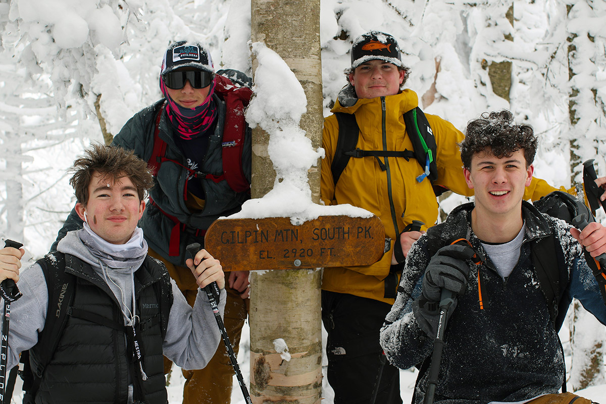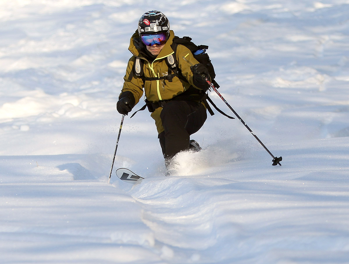
Today I headed up to Bolton Valley for a bit of afternoon lift-served skiing with E and Ty ahead of the cold temperatures that are expected to be around into the midweek period. The resort has finally shifted their attention to making snow in the Timberline area over the past week, and since it was open to lift-served skiing for the holiday weekend, we figured we’d check it out. It’s always a nice shift into the feel of Bolton’s full mid-season mode when you can start parking down at Timberline to base yourself there to ski the rest of the resort.
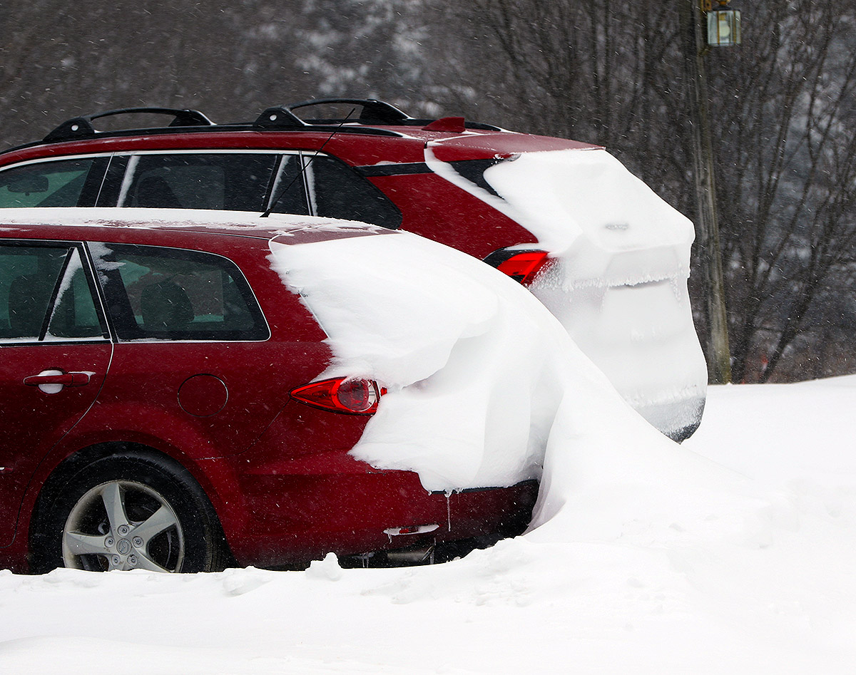
Midafternoon yesterday when I was heading home from backcountry skiing in the Jay Peak area, it started snowing as our Saturday system pushed into the area, but the precipitation changed to sprinkles of rain in the valleys as I headed south. We’d picked up a few hundredths of an inch of rain down in the valley at our house in Waterbury that gave a slight crust to the snowpack, so I was curious how high the snow levels had risen. I immediately checked the consistency of the snow when we arrived at the Timberline Base at 1,500’ and was happy to find that the snow was powdery without any rain crust, so even the lowest elevations of the resort had remained above the snow line.
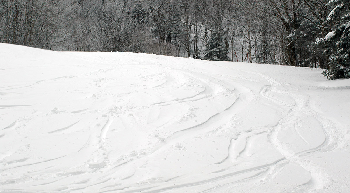
As we ascended on the Timberline Quad, we could see that the lower Timberline trails without snowmaking still need more snow. Our long-duration storms from early January scoured a lot of the west-facing terrain, and the existing snowpack down at the Timberline elevations just wasn’t deep enough to hold up to that very well. Most of the natural snow terrain at Timberline was open, but it’s still just a bit thin to support lift-served skiing without some areas of brush and grass poking through. The areas where they’ve made snow have plentiful coverage of course, but seeing what was available, we decided to head up to the main mountain for better coverage and conditions.
The resort was reporting 4 to 6 inches of new snow in the past 24 hours, and 8 inches of new snow in the past 48 hours, so somehow the mountains just keep pulling the inches out of these minor systems that come through the area. Those snowfall numbers are definitely more reflective of the main mountain though, because accumulations down at Timberline were certainly less.
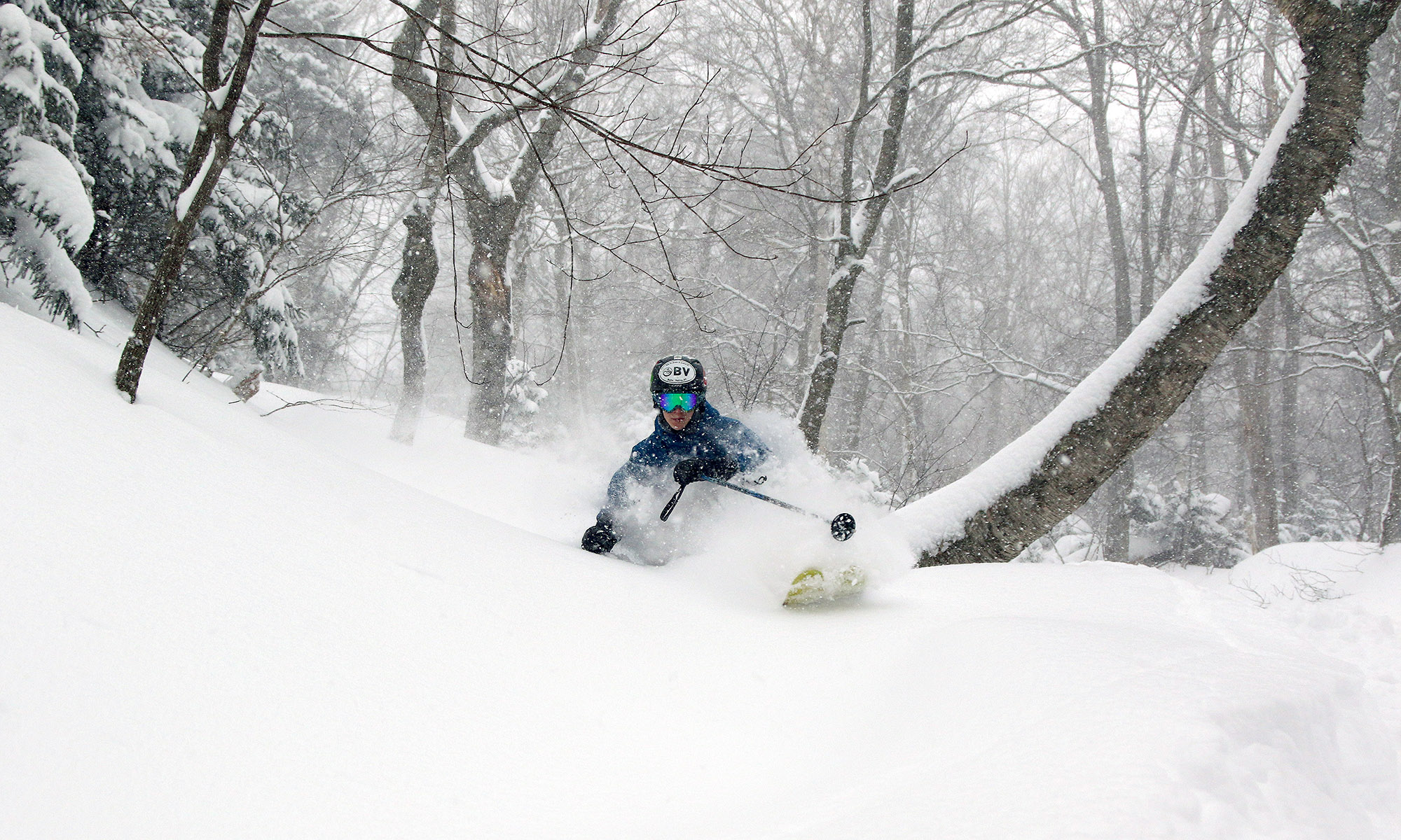
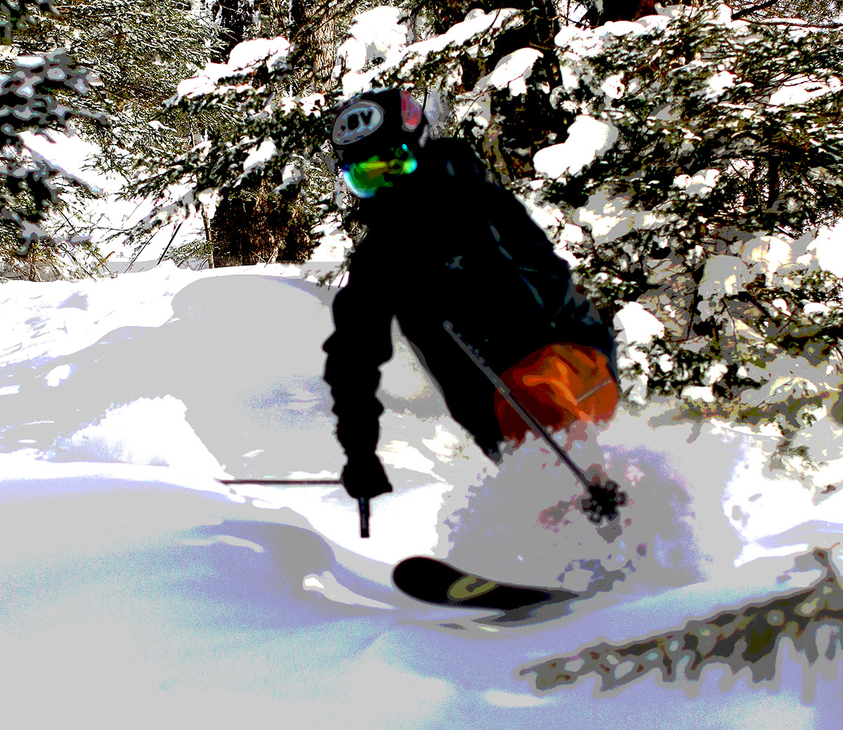
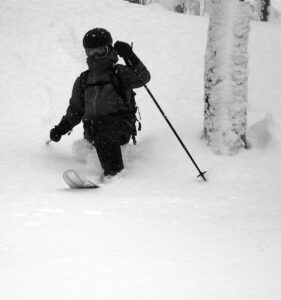
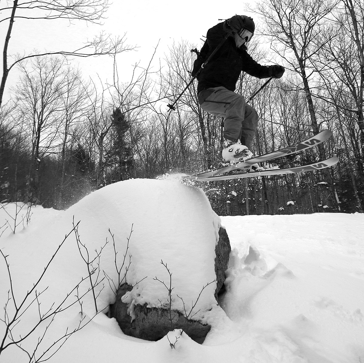
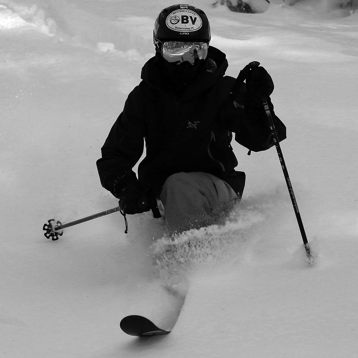
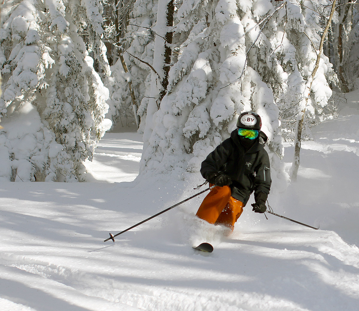
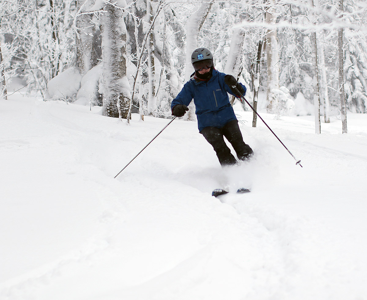
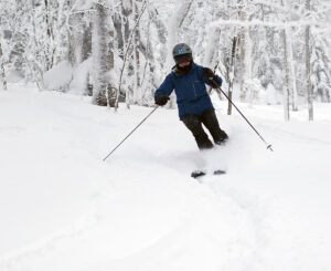
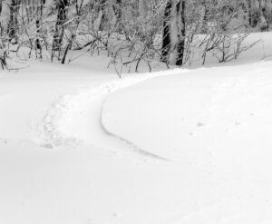
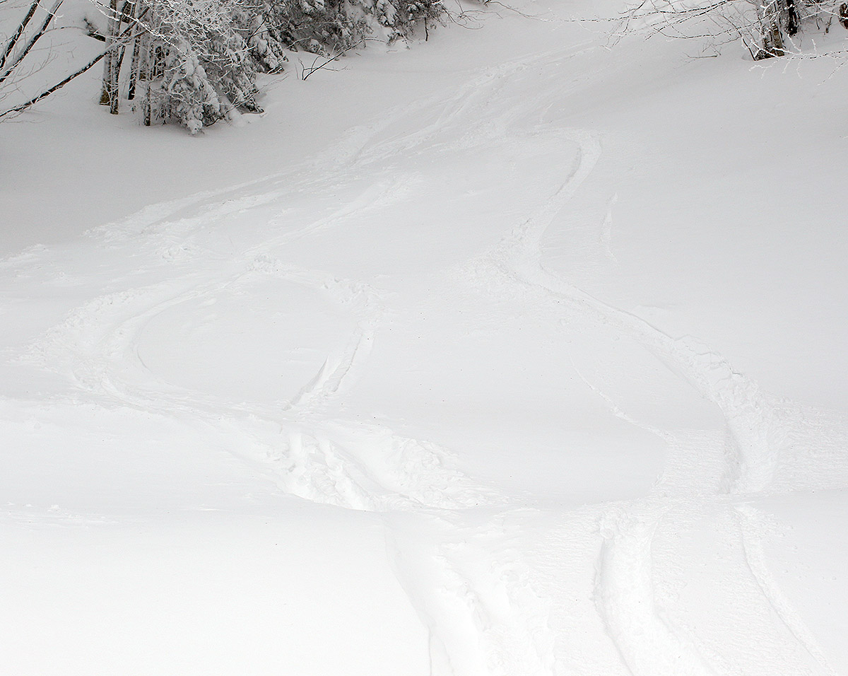
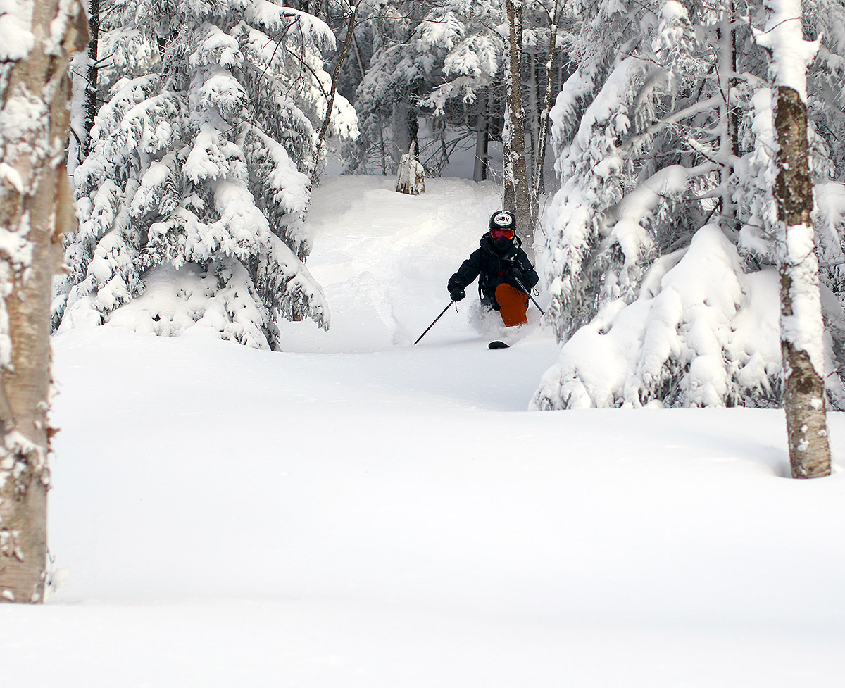
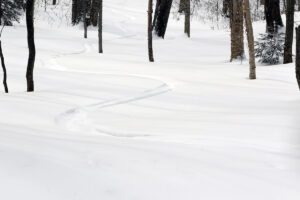
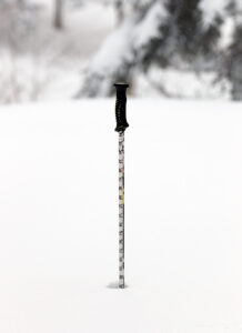
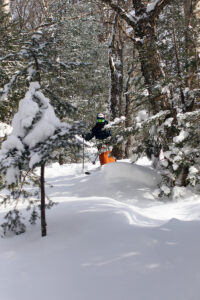
Up at the main mountain we decided to head right to Wilderness to ski the natural snow terrain, and it was indeed night and day compared to the conditions down at Timberline. There’s certainly been plenty of skier traffic at the resort since it’s a holiday weekend, but jumping off trail into the trees revealed the usual foot plus of light powder that we’ve been seeing over the past couple of weeks in untracked areas. On piste, the snow was nice packed powder wherever the winds hadn’t scoured it down, so we stuck to moderate-angle terrain below the Wilderness Mid Station and had some great runs. We even had some sun at the beginning of our session, and it was nice to have that light and a bit of extra warmth. You could tell that colder air was moving in, and temperatures were dropping through the lower 20s F, so when the clouds came back in ahead of approaching Winter Storm Demi, you could really feel the chill.
We headed back to Timberline as we finished up our afternoon session, and we did find some nice natural snow in areas like Lower Tattle Tale, but due to the shallower snowpack you had to be very selective and stick to well protected areas that hadn’t been scoured. The manmade snow on Timberline Run was definitely firm, and I’d say the disparity between the quality/firmness of the natural and manmade snow is far more than the usual at Timberline right now. The snow they made should be very resilient though.

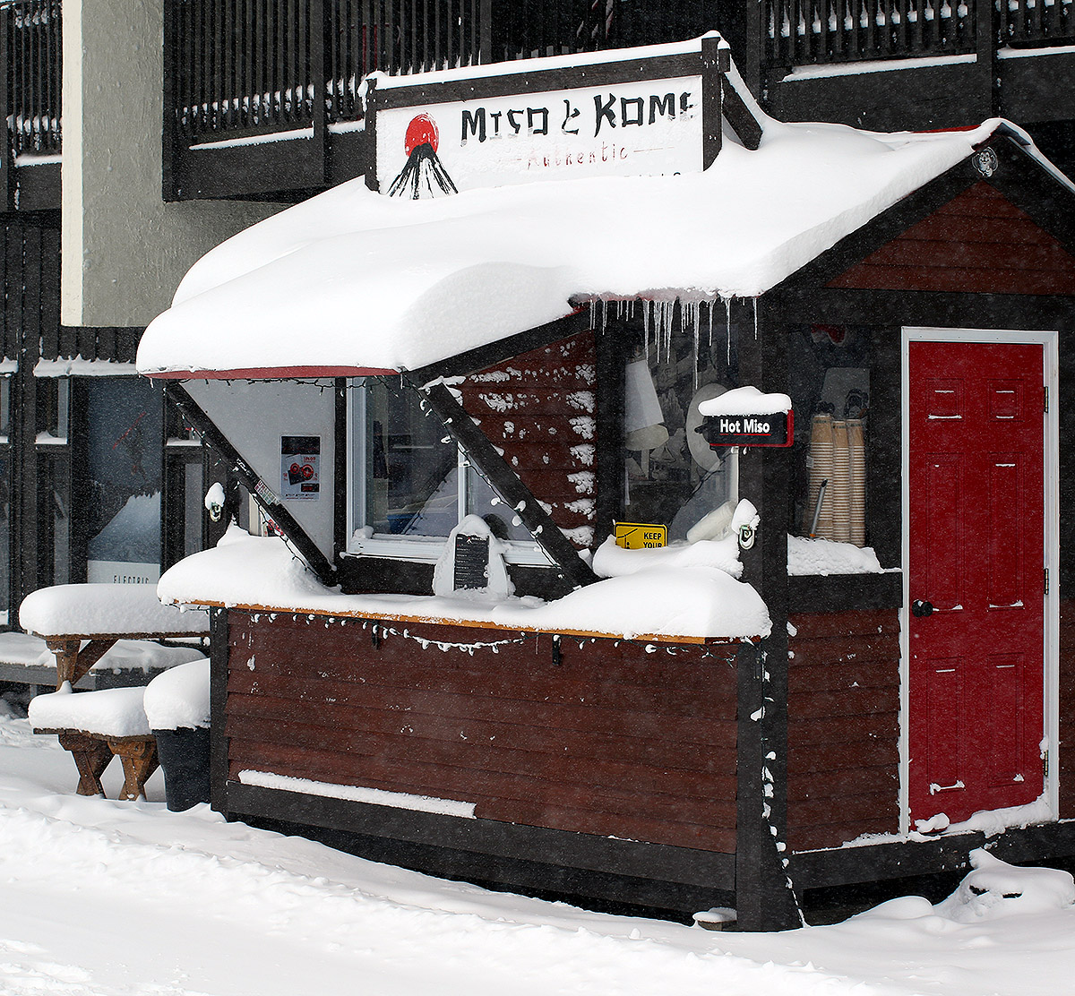
The opening of the Timberline area means that food service is firing up there, and this year in the Timberline Base Lodge they have Miso Curry offering food. It turns out that like the Miso Toh Kome hut up at Bolton’s main base area, (and other resorts in the area) Miso Curry is another offering from the Miso Hungry chain. We didn’t know that curry was so prominent in Japanese cuisine, but we shared an order of their katsu pork curry with edamame, and it was great. We were thinking it might be a bit tough though for families if the kids want something more typical to eat, but they can always catch that at the main base lodge, and Miso Curry seems to be a great addition to the variety of food available at the resort.
