Bolton Valley, VT 16JAN2020

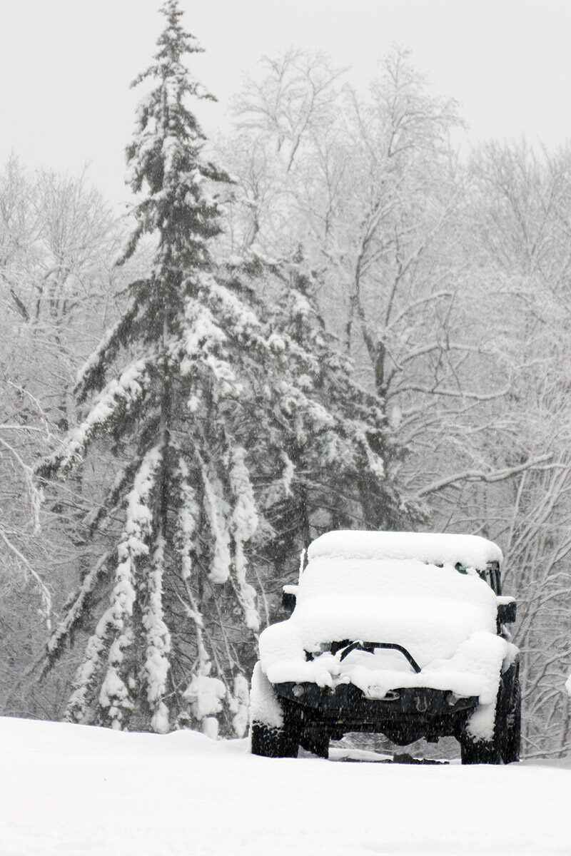
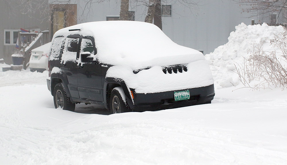
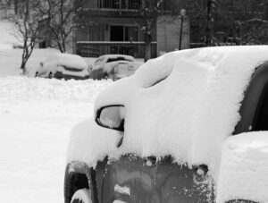
An image of a jeep with trees in the background covered with heavy wet snow from Winter Storm Malcolm at the Timberline Base Area of Bolton Valley Ski Resort in Vermont
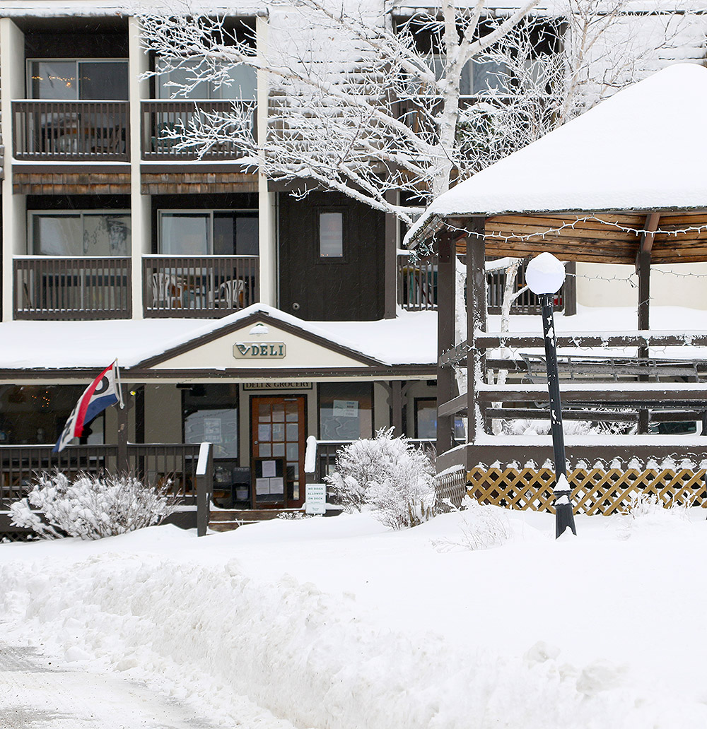
An image of the Timberline Base Lodge during Winter Storm Malcolm at Bolton Valley Ski Resort in Vermont
A view of the Timberline Base Lodge amidst the snow this afternoon.

With Winter Storm Malcolm moving into the area early this morning, there was a major PNW vibe around in the valley – we had huge, moisture-laden flakes falling all morning at the house, and driving through just 2-3” of unplowed snow on the road felt like you were moving through concrete.  It reminded me of being back at Snoqualmie Pass/Alpental.
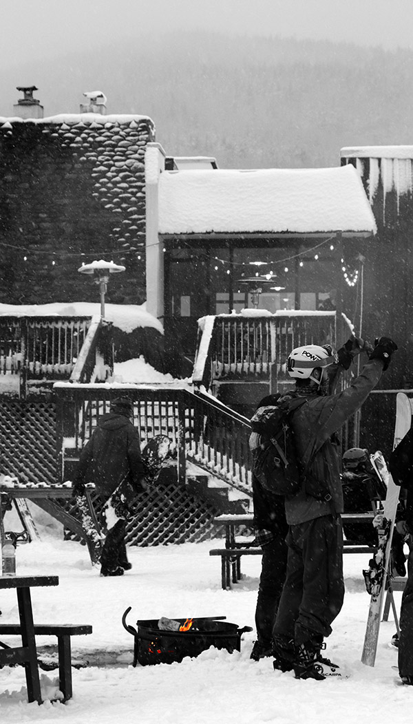
I gave Mother Nature some time to continue putting down the new snow, then headed up to the mountain for a session this afternoon.  I’d brought gear for both skinning and lift-served skiing, unsure about whether or not there would be COVID-19-related lift queues.  When I reached the Timberline Base and saw the Timberline Quad running for the first time this season with virtually nobody around, it was an easy decision to opt for lift-served skiing.  There were actually no queues at any of the lifts this afternoon, and it was walk-up all the time with numerous empty chairs, so presumably the opening of more terrain took care of any issues that had been creating backups.

An image of a couple of snowboards in the Valley Road Terrain Park area during Winter Storm Malcolm at Bolton Valley Ski Resort in Vermont
A couple of snowboarders enjoying some new snow below the Valley Road as dusk approaches

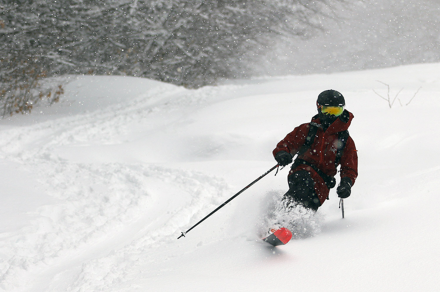
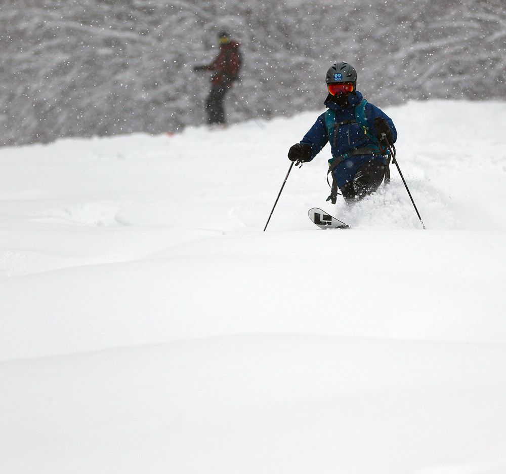
In terms of the snow, it was unquestionably dense down at 1,500’.  I was actually happy with my choice to go with lift-served turns because I appreciated having some packed snow in places and the ability to wander off to the sides into the powder as desired.  The powder would have been a bit easier on my fat skis, but on my midfat Teles it was definitely a workout staying for long periods in the deep, dense untracked snow.  I was happy for some quick reprieves on the groomed areas.  Groomed terrain was skiing very nicely – the packed snow was certainly dense, but not to the level of that slick, wet pack snow that can get rather grabby.  The snow got substantially drier with elevation – in the top 500’ of vertical, say from the Vista Summit on down to 2,600’ or 2,700’, the snow was in a totally different league relative to the base.  Jumping into untracked powder made for smooth, easy turns; the snow had just lost enough density that it just wasn’t pushing me around on my midfat Teles.  Down below those elevations, the powder began to get a bit denser, but you could definitely give yourself and extra margin of comfort on a pair of alpine fat skis, or especially a snowboard.

As of this afternoon’s additional snow from the storm, we’d picked up 1.09” of liquid equivalent down at the house, so the mountains must have had at least that much, and whatever they did get, it represented a major resurfacing of the slopes.  Ropes were dropping all over the place, and within one trip over to the main mountain, I came back to find that they’d opened up Tattle Tale, apparently even the steep headwall section, which speaks to how meaty this snow was.  They even had Spillway open on all natural snow, and that’s a steep minefield of boulders and stumps.  I figured people were just poaching it until I saw the rope opened at the top.

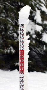
In terms of the depth of new snow that fell from Winter Storm Malcolm, it was difficult to tell because there was already some decent loose snow below this new stuff, and there hasn’t been a major thaw in quite a while to consolidate the base.  When I got off the top of the Timberline Quad at the Timberline Summit, I stuck in my measurement pole and it went up to 18”.  This represented the entire snowpack at that elevation from what I could tell.  Based on occasional probing around and measuring during the afternoon, I came to the conclusion that there must have been at least 8” that had fallen up high, and the resort’s afternoon report says 8” at elevation, so that makes sense.
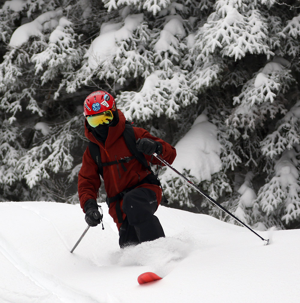
An image from the main base area of Bolton Valley Ski Resort in Vermont
A scene from the main base of Bolton Valley as I near the end of my afternoon session today

Bolton Valley, VT 03JAN2021

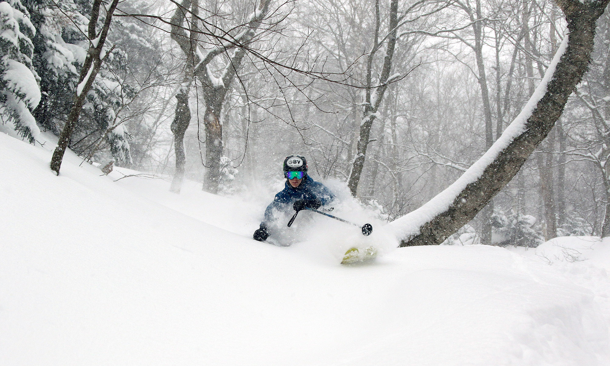
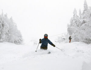
An image of Dylan Telemark skiing in powder from Winter Storm John at Bolton Valley Resort in Vermont
An image of Dylan Telemark skiing in powder from Winter Storm John while ski touring in the Wilderness area at Bolton Valley Resort in Vermont
Dylan in a little powder during today’s tour as he tests out his Rossignol Soul 7 HD skis for the first time. The powder from Winter Storm John is getting harder to find with lots of people touring at Wilderness, but the snow is holding up well on low and moderate-angle terrain.

Yesterday delivered some decent lift-served turns, as well as a quick Wilderness tour with some powder, so today I headed back up to the mountain for a ski tour with Dylan.  With more time than I’d had yesterday afternoon, we went a bit farther afield in the Wilderness area in search of untracked powder.  The untouched snow was definitely harder to come by this afternoon, because there has been heavy ski touring traffic this weekend.  The amount of traffic is relative of course, and nothing like you’d get with lift-served skiing, but after an entire holiday weekend worth of people touring, the untracked snow on the trails of Wilderness had been just about picked clean.  One factor in the apparently heavy traffic is that folks aren’t yet using all the acreage of tree skiing; the trees were generally untouched because people know that it’s still just a bit too thin in there for the skiing to be practical.  I saw an occasional track of people who had headed into the trees, but you could tell they weren’t quite ready.  If we get one more good snowstorm with an inch of liquid, then the low-angle trees will be in play.

An image of Dylan Telemark skiing in powder from Winter Storm John at Bolton Valley Resort in Vermont
Although the trails in Bolton’s Wilderness area have seen a lot of skiers due to extensive use of their uphill route, Dylan and I were still able to get into some very nice powder from Winter Storm John on our tour today.

We picked up some take-out from Fireside Flatbread for the first time this season, and the process is similar to what the resort is doing at the Village Deli and The Mad Taco – they’re not taking orders in person.  In this case it looks like the preferred method is to go through the Toast online ordering service.  I actually found this approach to be quite quick though; I was easily able to put in my order on my phone, and they accept Apple Pay, so all I had to do was authorize that with my fingerprint, and we were good to go!

The weather looks generally quiet this coming week, but by the early to middle part of next week we could get back into a more typical Northern Greens bread-and-butter pattern of modest systems to freshen up the slopes.  We still need a solid synoptic storm with an inch of liquid equivalent (or something similar from a series of smaller systems) to really get the base depths to more respectable levels, but Winter Storm John was a godsend to at least get a bit of base down and have some snow to see us through the next week.

Bolton Valley, VT 02JAN2021 (P.M.)

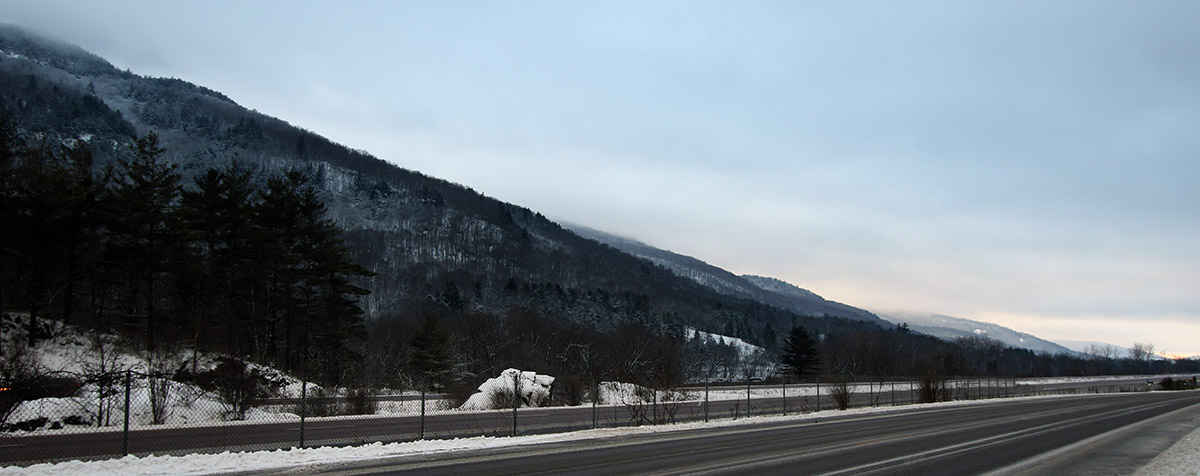
An image looking westward down the Winooski Valley of Vermont near the Bolton Flats area after some snow from Winter Storm John
An image of Holiday lights outside The Mad Taco restaurant in the Village area of Bolton Valley Ski Resort in Vermont
Enjoying some of the snow-covered holiday lights at dusk in the Bolton Valley Village after my ski tour today

With the way it had been dumping inch/hr snowfall when I headed home around noontime, I decided it would be worth another session in the afternoon.  This time I went for a tour on Wilderness, which had its uphill route officially reopened as of today thanks to the accumulations from Winter Storm John.  There had been additional snow, and I’d say 6-10” of powder above the base snow would represent a good summary of what I found overall in the 2,000’ to 3,000’ elevation range, which was a combination of the snow from this storm on top of the accumulations from previous events.  With Bolton Valley providing access to the entire Wilderness Lift area of moderate-angle, cut trails all starting above 2,000’, I’m sure a lot of folks see it as a very good option with the rather thin base currently in place at lower elevations.  That, and the fact that it was a holiday weekend, meant that there was a lot of uphill traffic.  Fortunately, there was still decent access to untracked powder along the edges of trails, and the turns were quite good and bottomless on low and moderate-angle terrain with the recent snow we’ve picked up.

An image of the sign for "The Mad Taco" restaurant in Waitsfield, VermontWe’d been looking for an opportunity to try out The Mad Taco Bolton, so I place my order from the car before I started my ascent, and then timed my tour to be able to make the pick-up.  It worked quite well, and I got to see the way they’ve set up the restaurant for the first time.  It looks like there are a number of tables in there that folks will be able to use once in-person dining is back in action, although for now it’s takeout only.  The food was great though, just like we’ve had from their other locations!

An image of a vehicle covered in snow from Winter Storm John in the Village area at Bolton Valley Ski Resort in Vermont
A view of some of the snow from Winter Storm John on a nearby vehicle as I start my tour in the Wilderness are today

Bolton Valley, VT 02JAN2021 (A.M.)

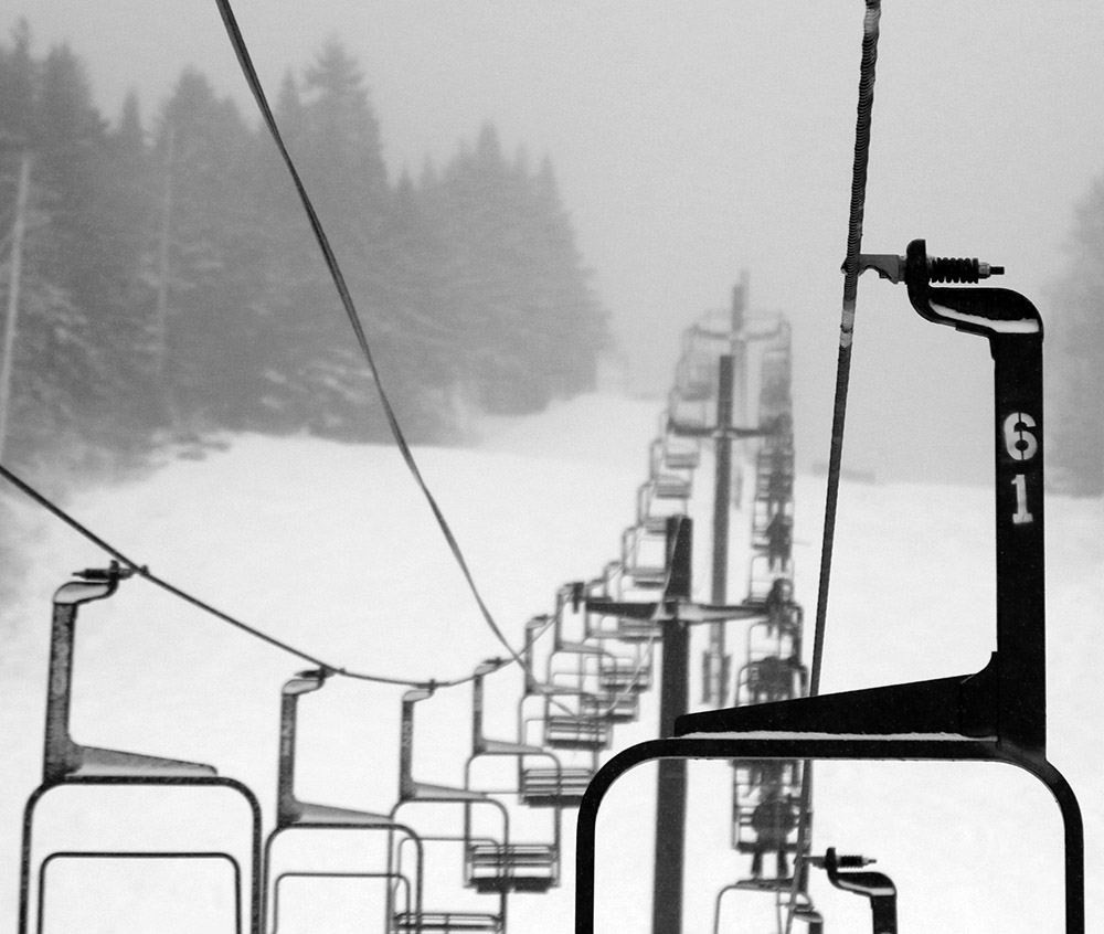
An image of the Mid Mountain Double Chair disappearing into the clouds on a snowy morning at Bolton Valley Ski Resort in Vermont
An image of snow falling from Winter Storm John in the Village area at Bolton Valley Ski Resort in Vermont
There was quite the wintry vibe at Bolton Valley this morning as snow continued from Winter Storm John.

With the influx of snow that the area has seen from Winter Storm John since yesterday, the snow conditions improved dramatically this weekend.  Based on the liquid equivalent we picked up here at the house, I bet the local mountains picked up something in the range of ¾” of liquid, which is a game-changer relative to where things were before.

On Saturday morning I decided to go for my first lift-served turns of the season at Bolton Valley.  Only the main mountain is open at this point, since coverage is still too thin down at the lower elevations of Timberline.  It was snowing steadily with some big flakes when I arrived at the mountain, and I found about 4 to 5 inches of new accumulation in the Village areas at 2,000’.  The snowfall tapered off to light snow during the midmorning period, but really picked up to some heavy inch/hr snowfall when I was leaving a bit before noon.  That was when the back side of the storm was coming through, and the wind jumped up a bit there, but prior to that the weather was fantastic with temperatures just a bit below freezing and no wind.  There was obviously some surface snow in place from previous systems because I was generally finding powder depths of 6-9” at the 2,400’ level.  Skiing was good, with enough snow to resurface low to moderate angle slopes, and listening to skiers and riders on that terrain you’d hear absolutely nothing.  On higher angle slopes you could still hear contact with the old base snow, so it was obvious that ¾” of liquid can only do so much with holiday levels of skier traffic.

The conditions had seen such an uptick relative to where they’ve been the past week that I had to head back up for a tour on Wilderness in the afternoon!

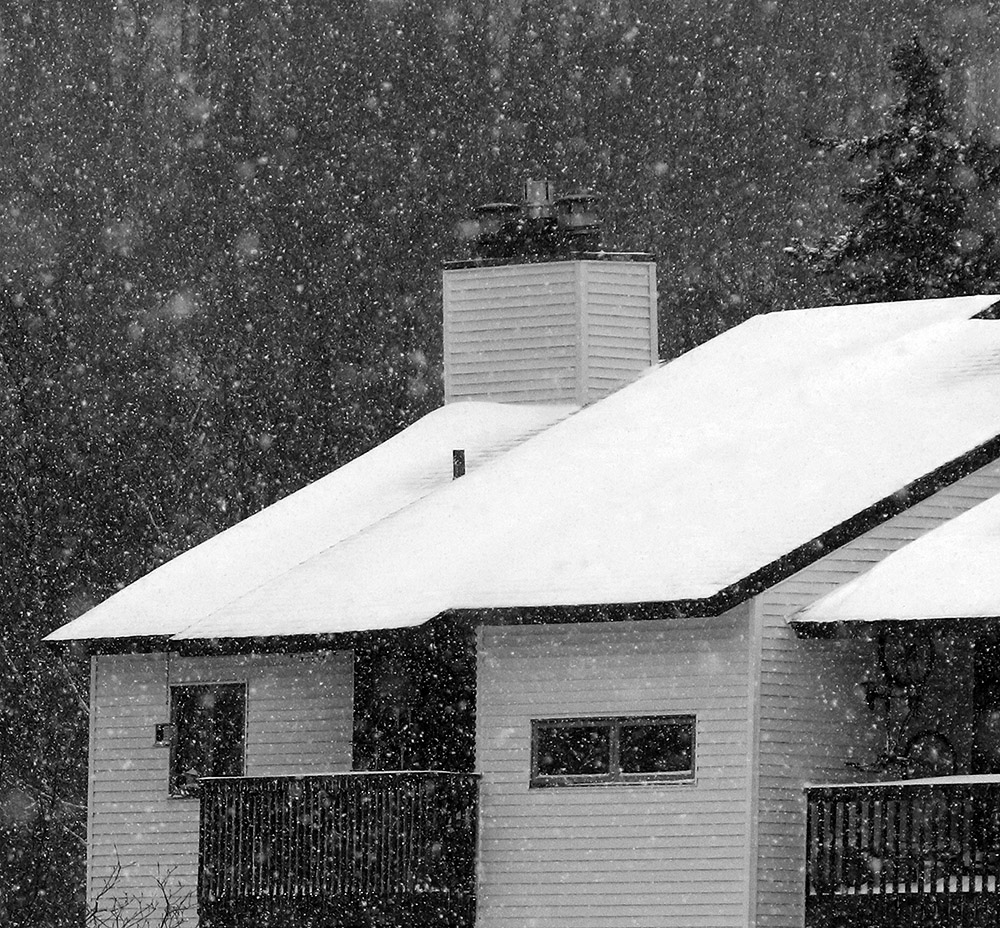
An image of some condominiums with snow falling from Winter Storm John at Bolton Valley Ski Resort in Vermont
Another shot of the snow falling from Winter Storm John this morning when I was up in the Village area at Bolton Valley.

Bolton Valley, VT 17DEC2020

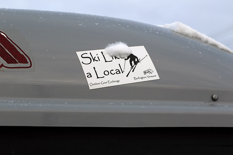
An image showing the logo for the Outdoor Gear Exchange store on a roof-top ski box of a nearby car while skiing at Bolton Valley Resort in Vermont
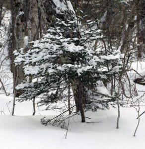
An image showing an evergreen with a bit of the snow picked up at Bolton Valley Ski Resort in Vermont from Winter Storm Gail
An evergreen captures a bit of the snow picked up today at Bolton Valley from Winter Storm Gail

The weather models have been showing a potentially substantial east coast snowstorm system for probably a week.  For much of the time, it looked like more of a Mid-Atlantic event, and I hadn’t really been paying any attention to it, but then Phin stopped in the Northern New England Winter Thread at American Weather Forums and gave us a heads up that we shouldn’t be sleeping on this storm, even up in the north.  Ultimately, Winter Storm Gail did have its greatest impacts north of the Mid-Atlantic Region, with parts of Upstate New York and central New England getting in on an incredible band of snow.  There were numerous reports across that band of storm totals exceeding 40 inches, and reports of as much as four feet of snow in parts of New Hampshire.

Up here in Northern Vermont, I hadn’t been expecting to ski this storm at all, but as the models revealed a more northward trend in guidance, it looked like we were going to get something out of it.  Indeed, by midday I’d recorded over four inches of snow, and nearly half an inch of liquid equivalent from it.  Snowfall with a half inch of liquid definitely has enough substance to get some floatation above the base, so I figured it was worth a quick tour to see how conditions were faring up at Bolton.  They’ve got the extra elevation to potentially enhance the snowfall even more, but they’re also a few miles farther to the northwest of our site, and the farther north and west one went with this system the more the accumulations quickly drop off.  Once up at the mountain, accumulations I found at 2,000’ in the Village were 4-5”, so roughly the same as what we picked up here at the house.

That was more than enough to make the powder skiing quite nice on low angle terrain though – on my 115 mm fat skis the turns were smooth and bottomless with the snow that had just fallen.  We still haven’t had a big, 1”+ liquid equivalent storm affect the Northern Greens yet this season, so base snow is still pretty meager.  There were a few inches of base snow left at 2,000’, with some variability and patchiness, but it’s still probably too inconsistent for steeper pitches or areas down around 1,500’.  We’ve got a couple smaller round of snow in the forecast over the next couple of days though, so those should help bolster that overall snow in the higher elevations.  Temperatures are expected to be single digits and even below zero F in the coming days, so snowmaking should be taking off as well to enhance the manmade base in areas of the resort.

Bolton Valley, VT 10DEC2020

An image of the village circle area at Bolton Valley Ski Resort in Vermont after a small December snowstorm
An image of fresh snow with some buried ski tracks from a small December snowstorm at Bolton Valley Ski Resort in Vermont
One of the beautiful scenes from Bolton Valley this morning, showing a few old ski tracks on Lower Turnpike

Yesterday, an upper-level disturbance/Alberta Clipper-style system began to affect our area, and as of this morning, Bolton Valley was reporting 4-8” of new snow in the past 24 hours, and 10” in the last 48 hours.  Although we haven’t had too much base snow yet this season, those accumulations, as well as the view on the Bolton Valley Main Base Webcam, suggested that there was enough snow out there for a tour.

Temperatures up in the Bolton Valley Village were in the upper 20s F, and I generally found 7-10” inches of snow from the Village elevations upward.  There’s decent substance to the snow (i.e. it’s not just fluff), but as expected, there’s really not too much base below that snow from what I saw.  I just don’t think there was any dense snow, or rain-affected snow that had a chance to consolidate below these most recent accumulations.  The snow quality is good though; the snowpack I encountered was right-side up with some medium weight density snow below fluffier powder on top.

Here are the snow depths I observed from the bottom of the Bolton Valley Access Road and up above the Bolton Valley Village:

340’:  2”
1,000’:  3-4”
1,500’:  4-5”
2,000’:  7”
2,500’:  8-9”
2,700’:  9-10”

Roughly 2,700’ was as high as my tour took me today, so I can’t provide observations above that level, but snow depths probably would have increased a bit more with elevation.

An image of fresh snow on an evergreen bough after a December snowstorm at Bolton Valley Ski Resort in Vermont
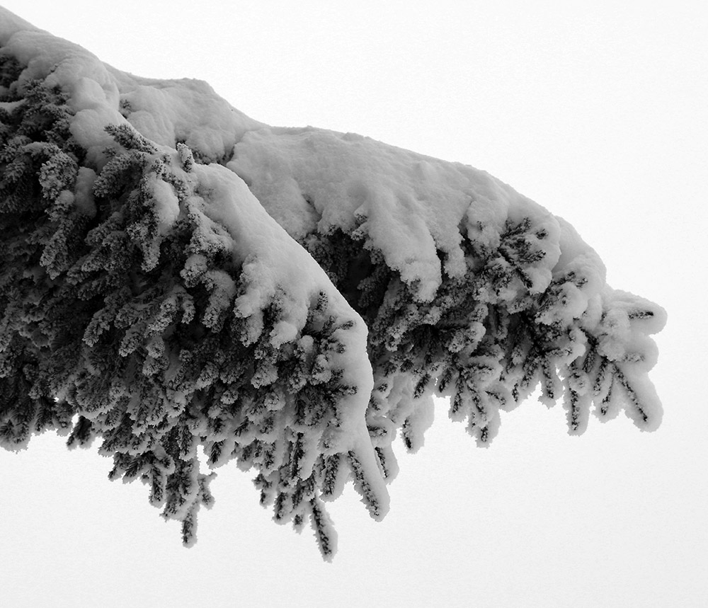
Some of the recent snow on a spruce bough

I’m surprised to see a depth of only 8” at the Mt. Mansfield Stake at 3,700’ as of the most recent report, but I’m not sure when that depth was last updated.  Based on the amount of liquid equivalent that seemed to be in the snow, and the sub-freezing temperatures up there, this would likely be the start of the winter snowpack unless we get a really warm/wet, long-duration event.  Consolidating the snow that’s there right now and/or adding some water to it would certainly help form a base.  We certainly want to get in a decent synoptic winter storm to substantiate the base, but the mountains have got at least a minimal start with this system.  I’m not sure if the snow we have in the valleys around here is quite enough to mark the start the season’s snowpack, but it’s possible.  We’ll see what the next couple of weeks bring as we head into the busy holiday season.

Bolton Valley, VT 03NOV2020

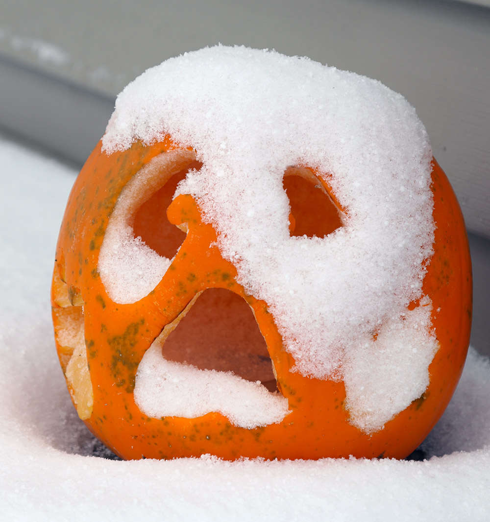
An image of snow on a Jack-o'-lantern from an early November snowstorm in Waterbury, Vermont
An image of a bike trail sign at Bolton Valley Resort in Vermont while out on a ski tour at the mountain during an early November snowstorm
Views of autumn clashing with winter while I was out on a ski tour at Bolton Valley today

Last week we had an early season storm that dropped some snow up here in Northern New England, and some notable amounts down in Southern New England.  Looking beyond that event, there was a signal for some snow in the Northern Greens developing by Thursday, that signal continued to grow on Friday, and by Saturday, the National Weather Service in Burlington was calling for a foot of snow in the local peaks.

It was hard to tell if we were going to see one extended storm during the Sunday through Tuesday, or a couple of discrete systems, but by Sunday afternoon, snow had started in the mountainsThe precipitation started as rain down here in the valley, with fairly high snow levels, but we had changed to snow at our house by yesterday morning.  E told me that the snow had started around 5:10 A.M., and the snowfall at our house continued at roughly an inch per hour all morning.

The snow tapered off in the afternoon, and then in the evening, the second system came into the area.  That storm delivered another several inches overnight, and in the morning, I head up to Bolton for a ski tour.

In terms of the ski conditions it was certainly a fairly typical early season affair, and I’d say waiting for that second storm to put down the extra snow was the way to go.  I opted to tour up at the main base, and there were clearly at least a couple more inches of settled depth up there (~2,000’) vs. what I found at the Timberline Base (~1,500’).

I could tell from the get go as I was ascending the Lower turnpike skin track and watching other skiers descend there, that the density of the snow was going to call for more moderate angle terrain vs. low angle terrain.  The snow was fairly medium weight powder, which was of course good with respect to providing some base for skiing.  There was obviously no existing snowpack below these storms, so if these recent snow had been 2-4% H2O champagne, there would have been a lot of dicey contact with the ground.  But, this medium weight snow was dense enough that there was just too much resistance for low angle terrain – skiers and riders had to straight line their way down and/or use old tracks to keep moving on those angles.

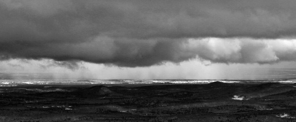
An image of a snow shower down in the Champlain Valley taken from the top of Bolton Valley Resort in Vermont
Viewing a snow squall in the Champlain Valley from the top of Bolton Valley.

Here’s the settled snow depth profile I observed during my tour:

340’: 4”

1,000’: 4-6”

1,500’: 6-8”

2,000’: 8-10”

2,500’: 10-12”

3,000’: 12”+

Terrain in the medium to low-angle range was required for solid turns, and that meant that it was a balancing act between choosing terrain that had enough pitch for turns, but not too much pitch that you were going to be outskiing the available snow depth.  There was also the factor of finding relatively protected terrain – that first storm especially, had some ridiculous winds, and scouring of the exposed slopes was rampant.

An image of snow accumulations in the Village area of Bolton Valley Ski Resort in Vermont after an early November snowstorm
Down in the Bolton Valley Village today

So, good knowledge of the local terrain was important, but once you found the appropriate setup there were some nice midwinter powder turns to be had.  There was as always that exercise of not going too steep, aggressive, or rocky to outperform the available snow, so of course having knowledge of those grassier options was important in providing the best ski experience.

It was a solid first day out at the mountain, and it looks like we’ve got some warmth coming in the next week or so before we have any additional chances for snow.

One more round of October snow for Vermont

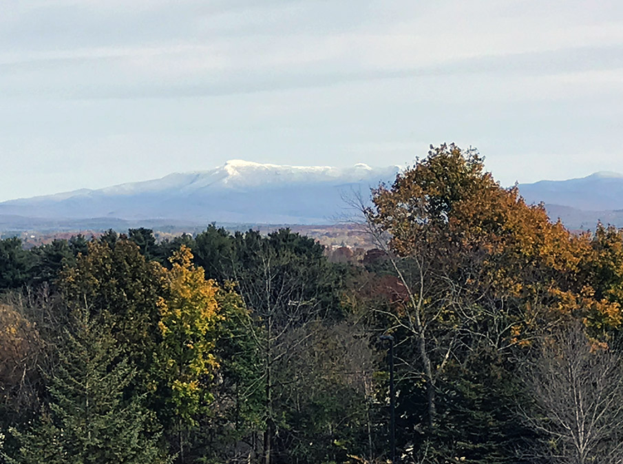
An image of Mt. Mansfield in Vermont taken from the Burlington area in late October showing some valley foliage and snow in the mountain peaks from a recent storm
An image of Mt. Mansfield today taken from my office at UVM showing signs from the recent storm and fall foliage still hanging on in the valley.

The local mountains picked up some more snow in what looks to be our final snowfall event for the month of October.  Down here in the valley at our house, I found a few flakes on my snow measurement board yesterday evening, but no measurable accumulation.  This storm was more notable down in Southern New England where there were totals up around 7 inches in the Worcester, Mass area.

Powderfreak got a beautiful picture of the slopes of Stowe Mountain Resort today, which he posted in the Northern New England thread at the American Weather Forums.  I grabbed a shot of Mt. Mansfield from the other side of the range when I was in my office today because it was so great to see the snow starting to come back to the peaks.

Snow for the valleys in northern Vermont

An image of October snow on a picnic table in Waterbury, Vermont
I woke up this morning to find snow accumulating on grassy and elevated surfaces like this picnic table on our deck. It’s the first accumulation we’ve seen in the valley this season!

I woke up this morning to find snow on the grass and elevated surfaces at our house, most notably our picnic table out back on the deck.  This was the first snow I’ve seen at our house this season, and although our weather forecast did suggest there was some potential for accumulation, you never quite know how it’s going to play out in marginal situations like this one.

In any event, the snow stuck even down here at 500’, so it should have easily accumulated in the higher elevations.  I measured 0.6” on the boards at observations time, and it did look like it could have melted some since the point at which most of it fell.

This is about a week on the late side for average occurrence of first frozen precipitation here at our house, but just a day off for the average date of first accumulating snow, so it’s very typical in that regard.

Details from the 6:00 A.M. Waterbury observations:

New Snow: 0.6 inches

New Liquid: 0.09 inches

Snow/Water Ratio: 6.7

Snow Density: 15.0% H2O

Temperature: 34.0 F

Sky: Light Rain/Snow (1-2 mm flakes)

Snow at the stake: 0.5 inches

Accumulating snow for the mountains of Vermont

An image of the Mt. Mansfield Chin in Vermont with some early season October snow
An image of foliage in the Newport, VT area along Lake Memphremagog with the mountain Owl's Head visible off in Canada.
Foliage in the Newport, VT area along Lake Memphremagog with the mountain Owl’s Head visible off in Canada.

A low pressure system moving along the coast of New England brought a chance for some accumulating snow to Vermont starting last night, and white could be seen in the peaks this morning.  The snow line over here in Vermont seemed to be around 2,500’, with a very sharp elevation cutoffAccumulations were 3-4” up around 4,000’ on Mt Mansfield, and similar atop Jay Peak.  I heard reports of some frozen precipitation up high earlier this season, but this was the first notable accumulation around here.  Off to the east over in New Hampshire and Maine, the snow line was much lower, and accumulations were even more substantial.  Some accumulations in northern New Hampshire were over a foot.

An image of the Mt. Mansfield Chin in Vermont with some early season October snow
The Mt. Mansfield Chin today with some early season October snow

While in many areas around the state, the leaves have mostly fallen and it’s looking like stick season, there are still a lot of beautiful scenes with fall foliage.  We were up in Newport today for a soccer game, and the views of foliage along Lake Memphremagog were beautiful.