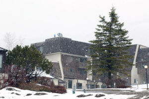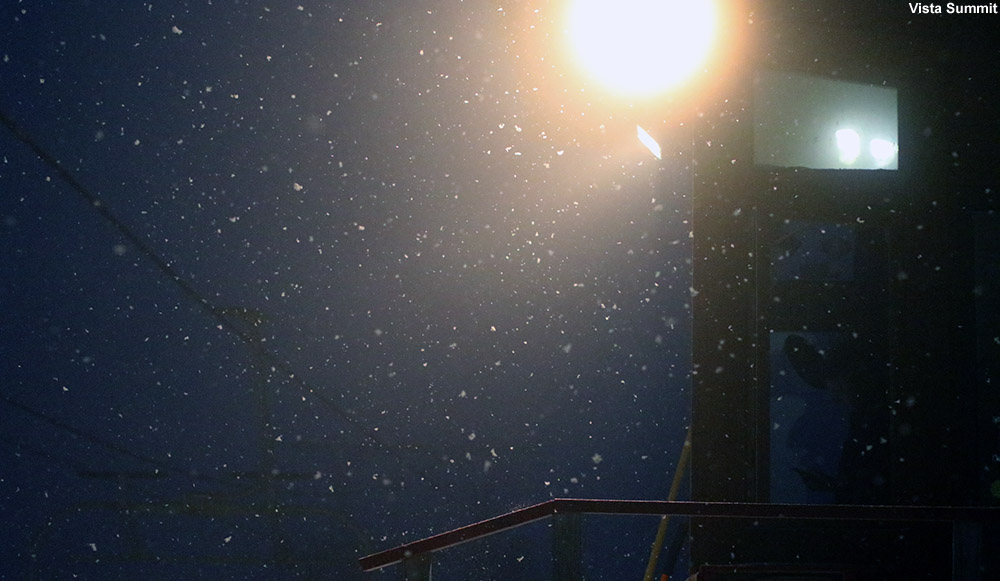
Another spring storm moved into the area on Wednesday, and it resulted in a protracted period of precipitation that started to change over to snow yesterday afternoon into the evening. It was snowing at our house this morning with a bit of accumulation, and the visible snow line here in the Winooski Valley reached down to around 1,000’. The views from the Bolton Valley Main Base Webcam showed the slopes covered in a fresh coat of white, so I decided to get a bit of exercise and headed out for a morning ski tour.
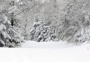
As soon as I left the house and rounded the first corner on Route 2, I was shown a bright visage of white-covered peaks across the valley. These elevation-based snowstorms typically produce some great views, and the accumulations from this one varied a bit with aspect, so that made for some exciting scenery as I headed through the Winooski Valley.
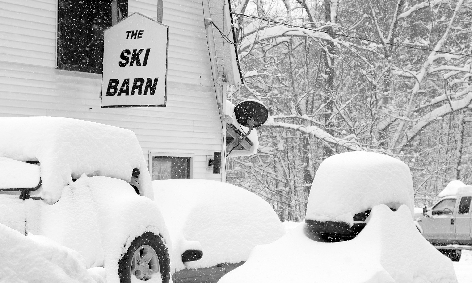
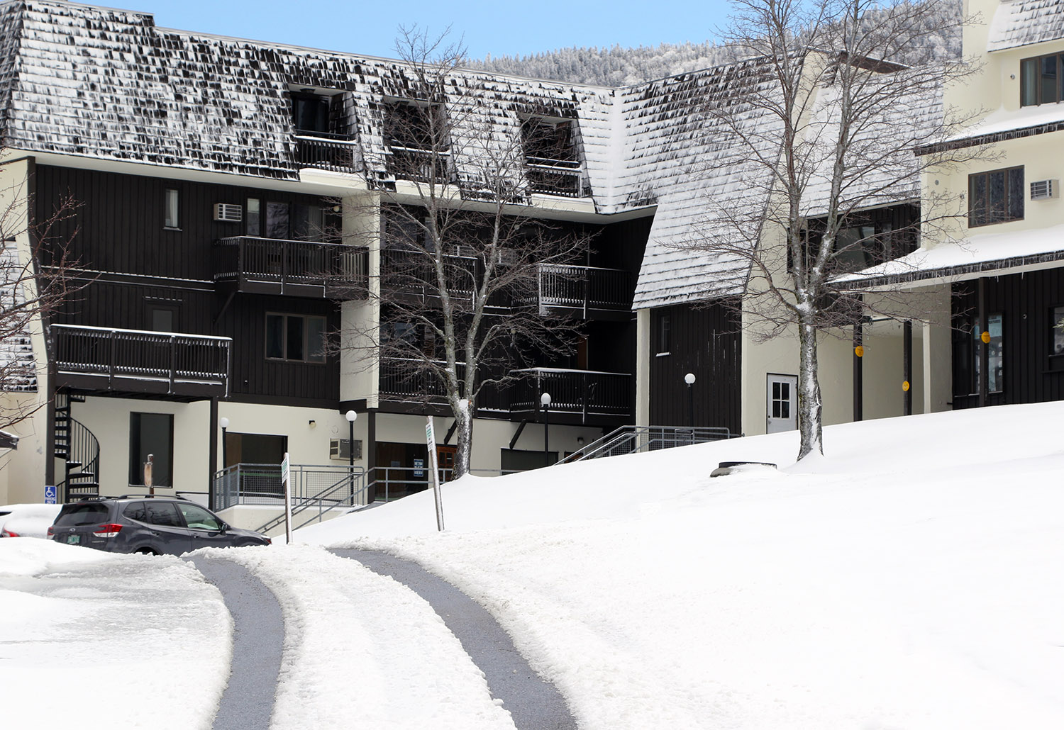
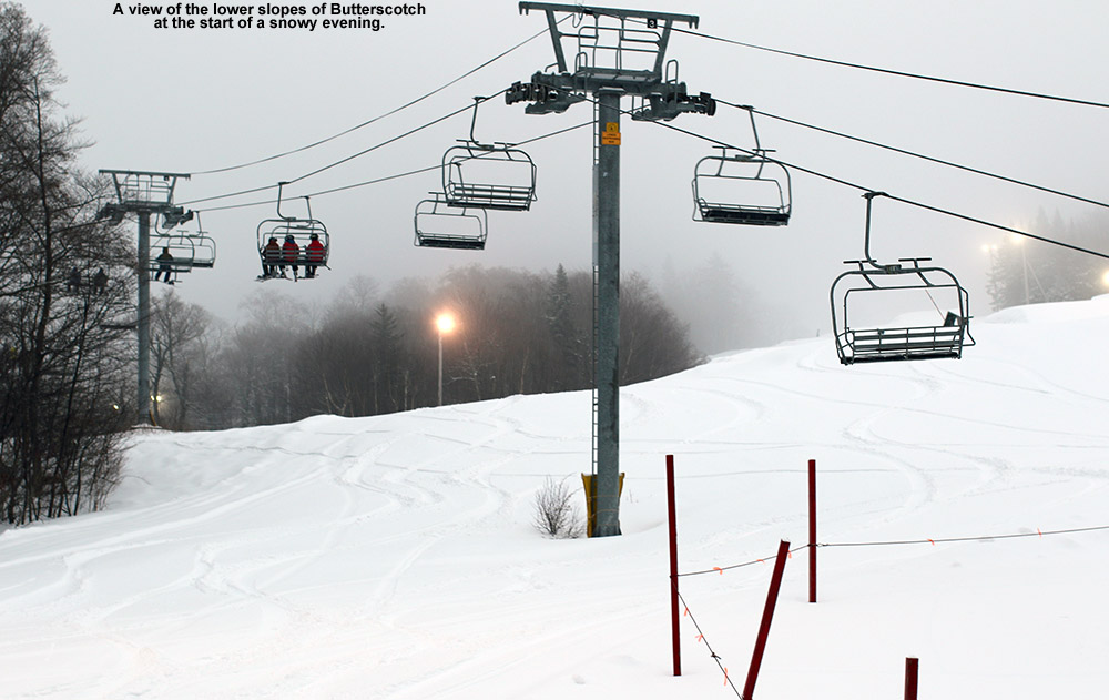
 Once I was on the Bolton Valley Access Road, the first traces of white appeared at roughly 900’, and the accumulations slowly increased to 2-3’ at the Timberline Base, and 3-4” in the Village. Temperatures were below freezing from probably 1,000’-1,500’ on up, so the new snow above that point was dense, but dry. There was a notable jump in accumulations just above 2,000’ or so as the profile below shows. Above that though, there wasn’t a lot of increase, so presumably the snow line crashed down to that ~2,000’+ level pretty quickly without spending a lot of time at 3,000’+.
Here’s the accumulations profile observed on this morning’s outing:
340’: 0”
500’: 0”
900’: T
1,000’: T
1,200’: 1-2”
1,500’: 2-3”
2,000’: 3-4’
2,250’: 5-6”
2,500’: ~6″
2,800’: ~6-7”
3,100’: ~7”
“I’d planned on a quick tour over in the lower elevations of the Wilderness area, but once I was over there out of the wind, I saw that the accumulations were solid enough to warrant a more extended tour into the higher elevations.”
I’d planned on a quick tour over in the lower elevations of the Wilderness area, but once I was over there out of the wind, I saw that the accumulations were solid enough to warrant a more extended tour into the higher elevations.
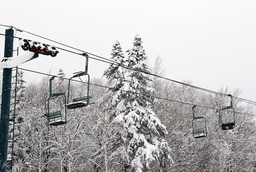
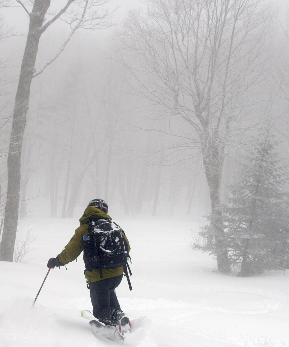
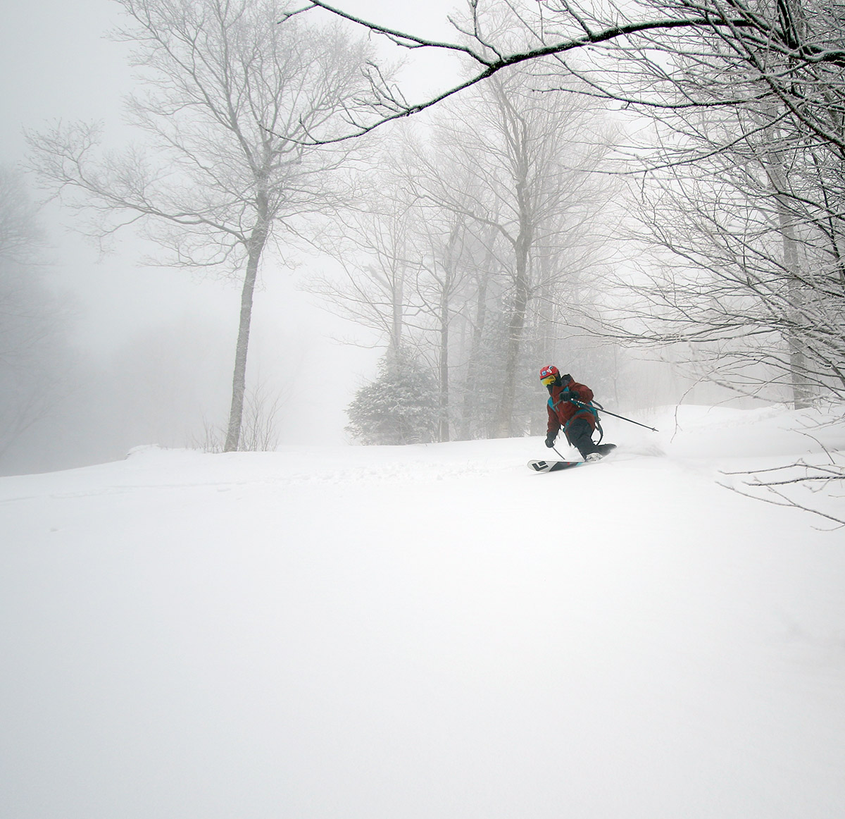
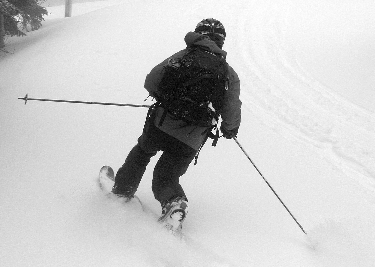
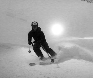
As mentioned, the snow was dense but dry, so it skied fairly well. On 115 mm fat skis I was typically sinking in a couple of inches, and there was a surfy consistency to the setup that really let you have some fun and smear your powder turns easily if you wanted. The snow provided plenty of cushion for low to low/moderate-angle terrain, and up above 2,800’ or so, old snow and snow bridges were still in place, so that made any water bars less of an issue.
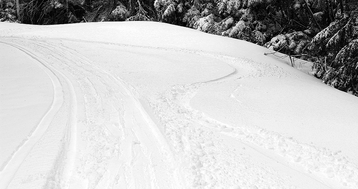
“As mentioned, the snow was dense but dry, so it skied fairly well. On 115 mm fat skis I was typically sinking in a couple of inches, and there was a surfy consistency to the setup that really let you have some fun and smear your powder turns easily if you wanted.”
There were a few folks out and about in the Village, but out on the mountain itself it was pretty quiet. All I saw was a red fox that ran in front of me on Lower Turnpike, and a guy on a fat bike up near the summit. I was surprised to see him up at that point because there was a half foot of snow, and due to their weight those fat bikes are total dogs with respect to climbing, so I’m sure he’d put in plenty of work. There were some packed areas of snow due to resort operations traffic and wind scouring, so I’m guessing he made good use of that.
We’ve had a few nice snowstorms over the past few weeks, and this latest one was a nice way to kick off the month of May with a ski tour.
