


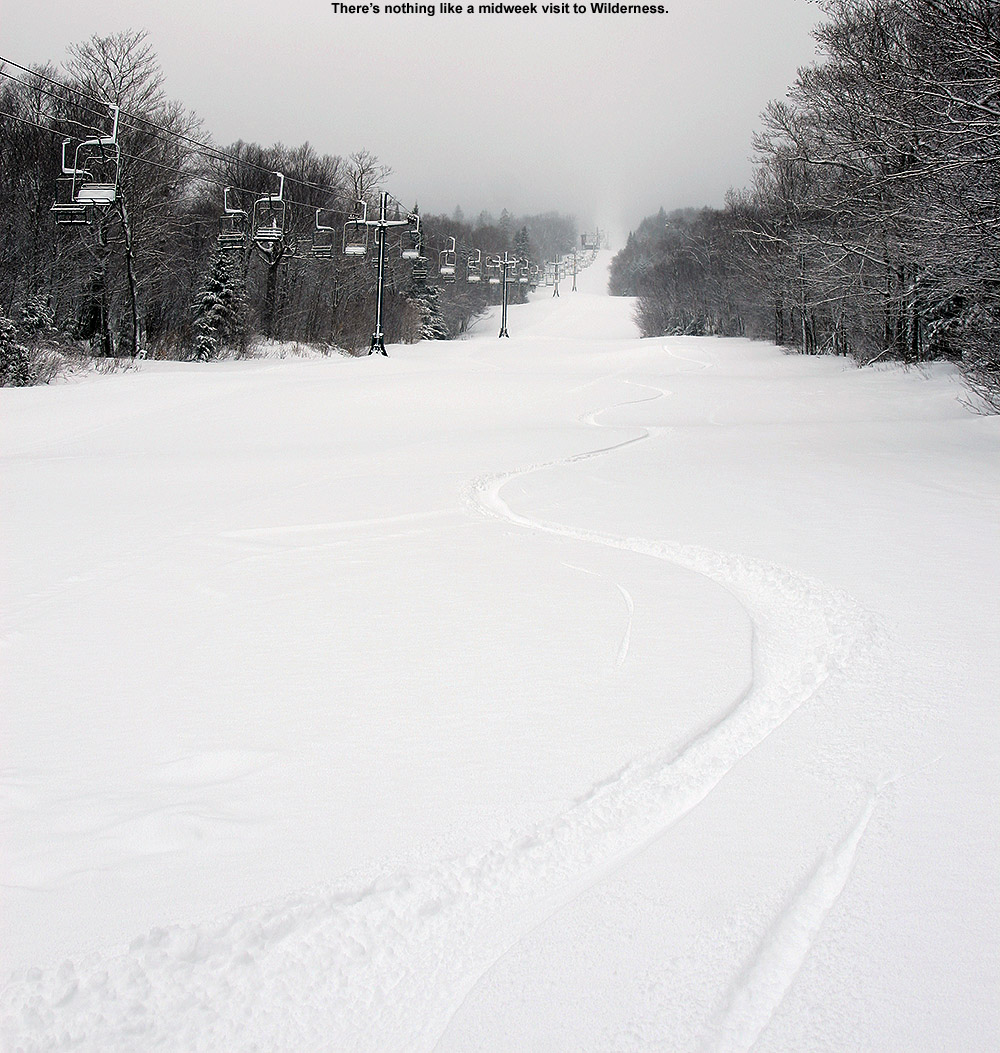
I was last out on the mountain for turns on Thursday, and the powder from our early week storm was holding up well. There had certainly been some consolidation of the snowpack, with sunny areas seeing the effects more than shaded areas, but the general consistency of the snow was dry, and there was no melt layer or melt crust.
A couple days have passed now, and we haven’t had much in terms of new snowfall. High temperatures in the mountain valleys have remained in the 30s F, but the lower elevations have definitely been above freezing, and the snow has seen some thaw-freeze cycles. I didn’t know how high the freezing line had gone and how the snow quality might have been affected in the mountains, but I figured I’d head up for a ski tour today and check it out.
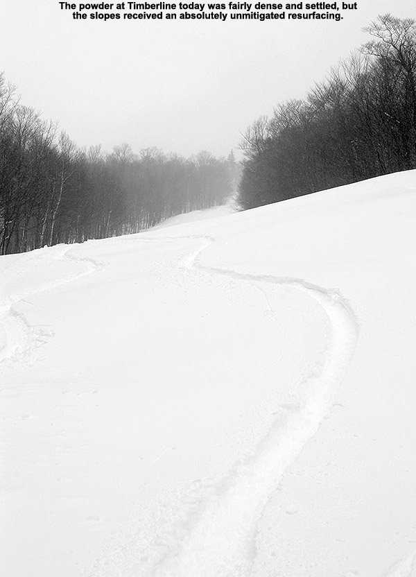
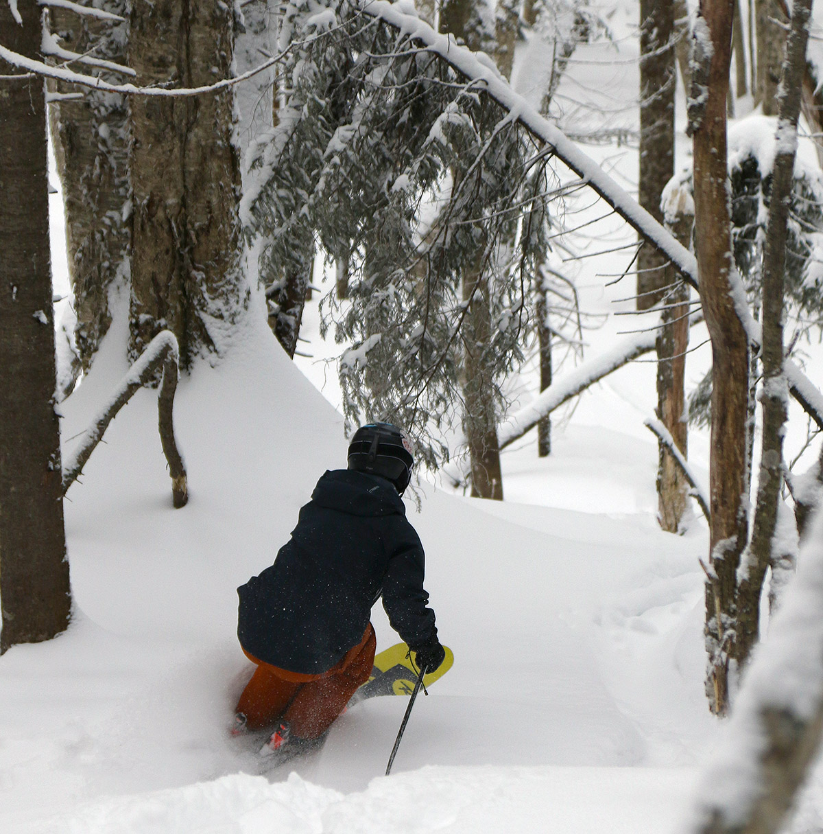
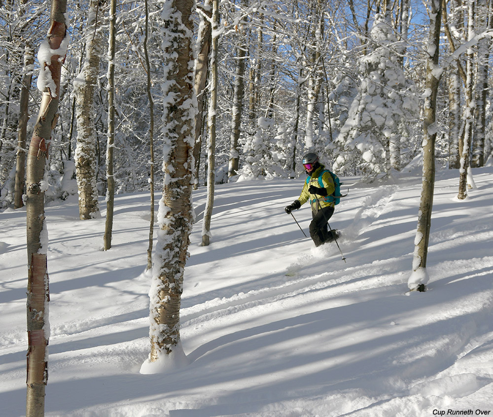
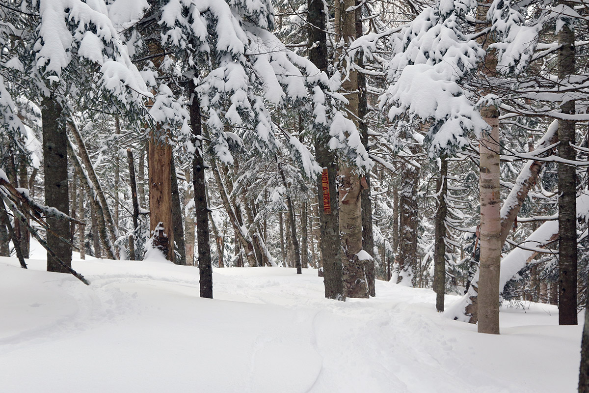
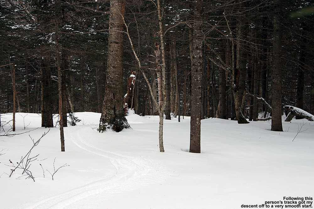
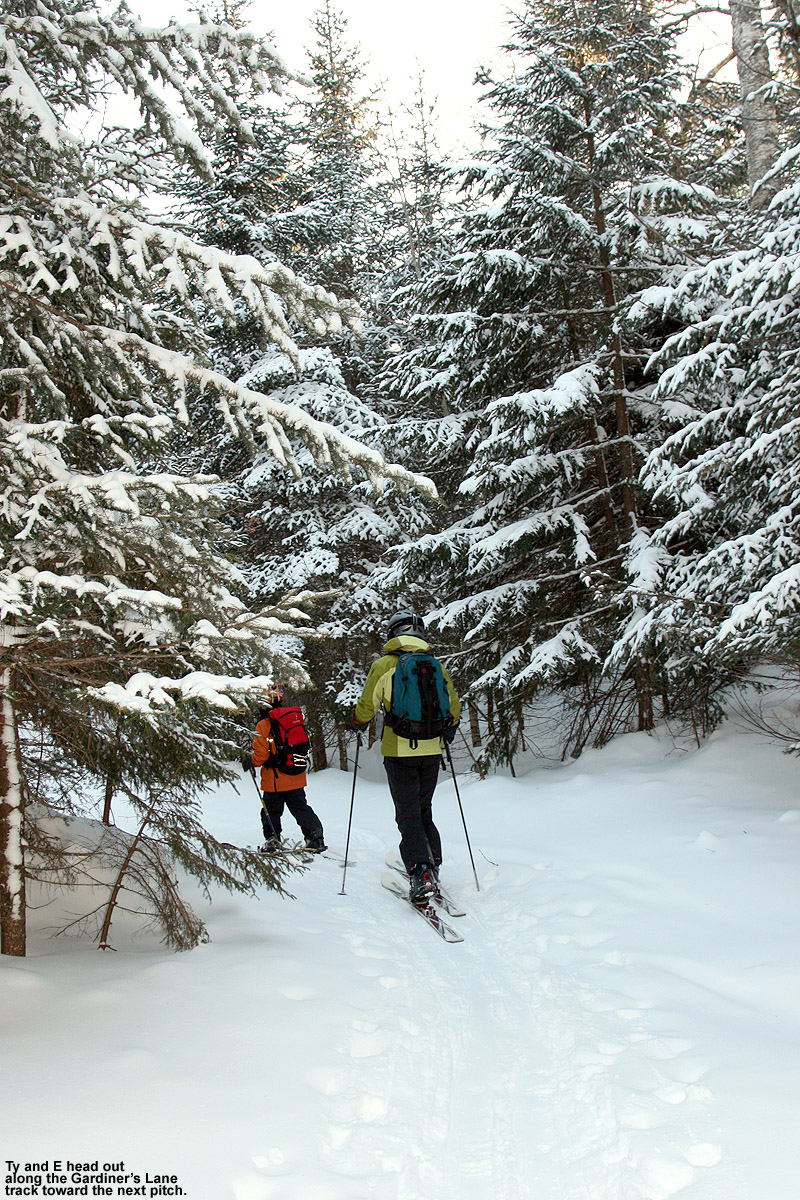
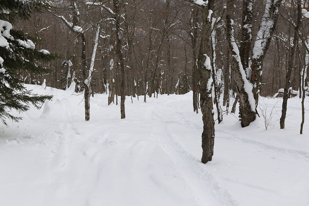
I decided to tour at Timberline as I’d done on Thursday, which would give me a good point of comparison with respect to changes in the snow. From today’s tour I can say that the freezing line has definitely been above 1,500’ on the western slopes, and even above 2,000’. The snow hasn’t consolidated much more from where it was on Thursday, but the above-freezing temperatures have definitely degraded the quality of the snow. Even shaded areas have a melt layer in the top few inches of the snowpack, so you’re not dealing with fluffy, right-side-up powder skiing. Thankfully the humidity has been relatively low, so the melt layer has a spongey consistency instead of being a refrozen aggregate. I’d still recommend alpine fat skis with some decent rocker or a snowboard as the best riding tools. The powder is a bit upside down now with that melt layer on top and drier snow below, but shaded snow is still reasonably surfy if you’re on a nice big platform that can ride up in the higher areas of the snowpack. I was on my 115 mm Telemark boards, but I made only a few Telemark turns – I stuck with alpine turns for the most part because the more consolidated platform and tighter stance was a much better fit for those snow conditions. As long as you have the appropriate tools on your feet and stick to untracked areas of snow, you can get some decently surfy turns. Tracked or packed areas of snow aren’t offering up great turns right now – the snow there has consolidated enough that it’s just bumpy terrain and you’ll get tossed around for a much rougher ride. At least in those lower elevations, we’ll need a decent storm to get back to fluffy powder conditions.

Today was supposed to be fairly benign with respect to the weather, but in true Northern Greens form, as soon as I started gearing up at the Timberline Base, a snow squall moved in and pounded the area with heavy snow/graupel and reduced visibility for several minutes. It was nothing that resulted in substantial accumulations, but it was a definite reminder from Mother Nature that she’s there. In their early morning forecast discussion, the BTV NWS mentioned two areas of weather interest for today passing to our north and south, leaving us in “no man`s land” with no active weather, but in later updates they noted that there was going to be plentiful cloud cover across much of the region in the afternoon as an upper-level shortwave passed through and supported cold air advection and snow showers. We even picked up accumulating snow down at our place in the valley, so there was certainly some wintry weather out there, even during this relative snowfall lull.
Bolton’s planned opening day was the 28th,

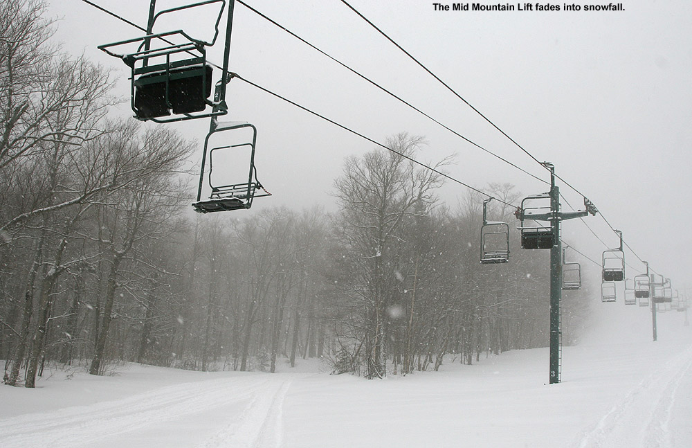
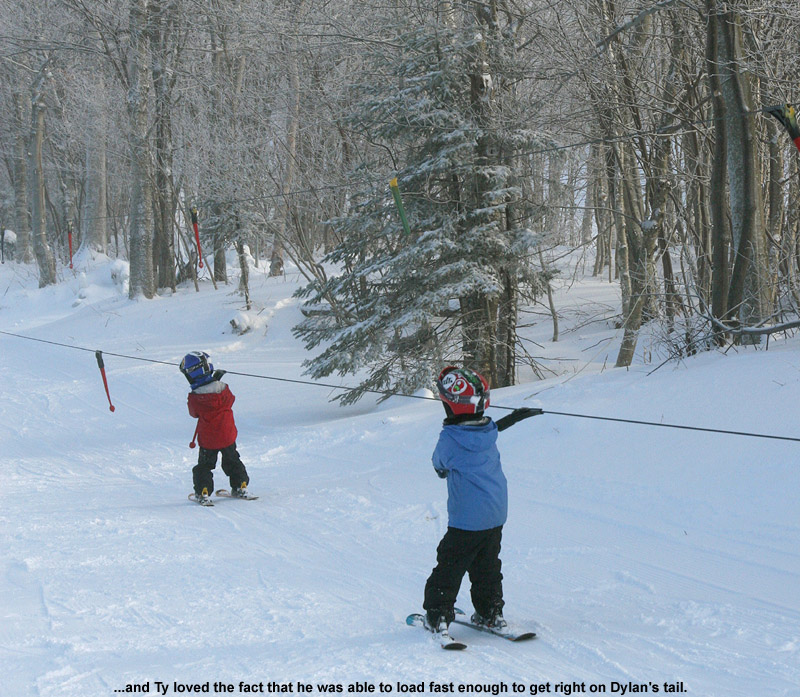
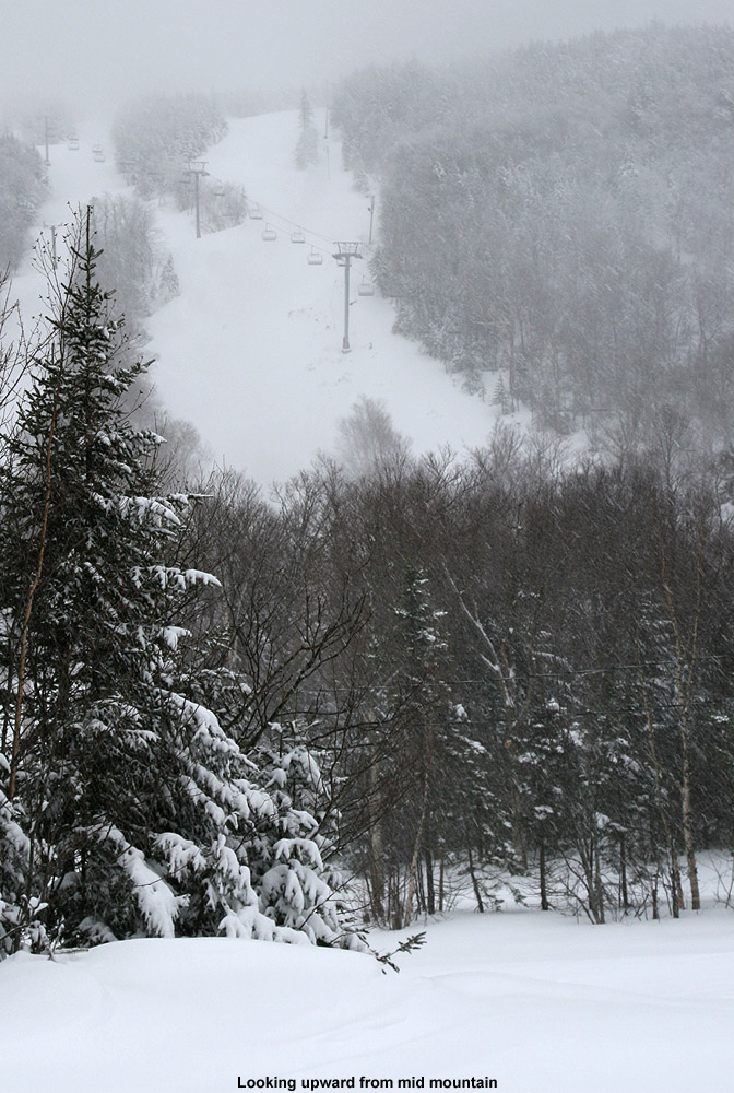
but in the spirit of all the November snow we’re received, they started the lift-served season today. Lift Operations Manager Scott Beasley and President/CEO Lindsay DesLauriers made a fun social media post on Thursday to break the news to the community. They’re only running the Mid Mountain Chair and the Mighty Mite at this point, but since I was up at the mountain anyway and had to hit the main base to take care of some passholder stuff, I figured I’d stop in for a few lift-served turns. Conditions were fine, with a mix of manmade and natural snow, but with manmade snow in the mix, there were certainly some firmer areas. You can tell it was a bit of an impromptu opening since they hadn’t full groomed the Bear Run route, but that left some fun contours on the terrain and made it even more interesting. The highest elevation I reached today was up to Mid Mountain at 2,500’, but even at that elevation, you could see that the snow had been affected by the temperatures, so you really have to go higher than that to find pristine winter snow at this point. The resort was bustling though, so it’s great to see them get off to a great start. I heard that they expect to open the Vista Quad Chair for Friday, which is their original planned opening date.


