I didn’t have an opportunity to get out on the hill yesterday to ski the new snow from Winter Storm Olive, but Dylan and Colin were out at Bolton, so they filled me in and I was able to see some of their GoPro footage. It was clear from their comments and videos that as of yesterday morning, the storm certainly hadn’t put down enough liquid equivalent for a full resurfacing of the slopes. Low to moderate-angle terrain was skiing quite well, and I saw some really nice footage of the potential for powder turns there, but it was obvious that on the steep stuff you were quickly down to that hard subsurface, especially if there had been even a bit of preceding skier traffic.
As of this morning though, our area has definitely picked up more snow than what was present on the boy’s outing. After the lull during the middle of the day yesterday, the snow picked back up in the evening and we had continuous snowfall to varying degrees right through much of today. There was little if any mixed precipitation that I saw down at our house, although I think there was a bit of sleet in one of rounds of accumulation later in the day yesterday, because my wife said she heard some ticks on the window, and the snow was on the denser side when I ran the liquid analysis. Here at our site, we’ve picked up over ⅔” of liquid equivalent from the storm as of this evening, and I’d say Bolton must have picked up over an inch of liquid equivalent based on the amount of new snow they’ve reported and my experience from the mountain today. As of this morning, the Bolton Valley snow report was indicating 12” of new snow in the past 72 hours.
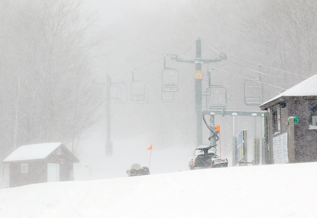
When I headed up to the mountain for a tour this morning, it was snowing here at the house, but the intensity of the snowfall increased notably as I headed up in elevation. Although the flakes were relatively small, the snowfall rate up in the Bolton Valley Village at around 2,000’ was moderate to heavy. In addition, that snowfall was being driven by hefty winds. Winds were in the 30 to 50 MPH range, certainly hitting those upper numbers in gusts when I was up on the ridgeline above 3,000’. Temperatures were in the single digits F, so between the temperature, the winds, and the snowfall, it was downright nasty out there. I was quite comfortable while touring, but even with my hat, I kept my hood on for much of the tour ascent, so that speaks to the effects of those low temperatures and winds. Plenty of people were arriving in the morning to ride the lifts, but that must have been rough, and I was very happy to be down low to the ground out of the winds and generating plenty of extra heat.
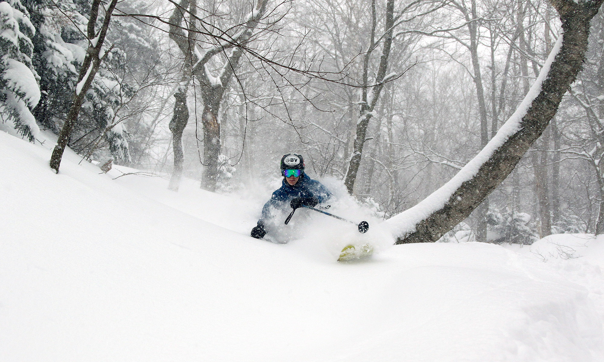
“We’re now well past just the low angle terrain being optimal, and with the cold temperatures today and the increasing snow depths, low angle terrain was actually a bit slow. Mid-angle terrain was probably the sweet spot today, and steep terrain was actually nice as well if it was untracked or had seen minimal skier traffic.”
With its schedule, the Wilderness Chair hasn’t run since the storm started, so it was the obvious place to tour today for the best access to untracked snow. Throughout my tour, surface snow depths I measured were generally in the 8-10” range, with no big changes with respect to elevation. As of today, we’ve definitely moved beyond the level of resurfacing that my son experienced yesterday morning. We’re now well past just the low angle terrain being optimal, and with the cold temperatures today and the increasing snow depths, low angle terrain was actually a bit slow. Mid-angle terrain was probably the sweet spot today, and steep terrain was actually nice as well if it was untracked or had seen minimal skier traffic. You’re not going bottomless on steep terrain that’s seen substantial skier traffic yet; we’re going to need to get more liquid equivalent down atop the snowpack before that happens. But, the existing base is deep (depth is now 50” at the Mt. Mansfield Stake), there’s tons of terrain that was sufficiently resurfaced by this storm, and it looks like there are more potential storms in the pipeline in the coming days that could affect the area as well.
