The Mt. Washington Auto Road opened to the summit a few weeks back, but yesterday was our first shot at some clear, dry, weekend weather in the Presidential Range; the forecast had suggested that Saturday would be an excellent day for some skiing in the alpine areas of Mt. Washington, and we wanted to take advantage of the opportunity. After a bit of June snow for the mountains over the previous couple of days, the clouds were finally departing on Friday and it looked like there would be a nice window in the weather.
Since I’d read an East Snowfield trip report on the Time for Tuckerman Forum last weekend, I had a decent idea of how much snow was left in that area, but I still wanted to see where it was now that an additional week had passed. On Friday I checked on the Ravines Webcam from Mt. Washington, and as the clouds cleared out in the afternoon I was finally able to see where the snow was located. The bulk of the remaining snow could be seen in Tuckerman Ravine, but there were still areas with coverage up in the snowfields. While the broad snowfield that we’d skied at the end of last season was essentially gone, vestiges of the main East Snowfield were visible. The layout and extent of the snow around the Mt. Washington summit was quite different from what it often is at this time of year, because although it had been a fairly cool spring, snowfall on the mountain was roughly 70 inches below average.
04JUN11E.jpg – Ravines Image
On Saturday morning we finished up our preparation and headed on our way to New Hampshire. As we traveled on Route 2 east of Montpelier, we could see all the washouts that had come down with the heavy rains a couple of weeks earlier; some places had picked up 4 to 6 inches of rain practically overnight. Fortunately it was the weekend, so most of the construction vehicles were parked and travel was unimpeded, but the construction sites were everywhere. As we approached the Danville area, Ty suddenly noticed a spider below his feet where we had placed our firewood. That left him somewhat freaked out and reluctant to put his feet anywhere in the area, so once we had the chance we stopped at a viewpoint to see if we could clear it away. I had to pull all the logs out of the back, but we eventually found the spider and took care of it. Ty was much happier after that. We also saw a huge group of cyclists that were passing through the area and had stopped at the viewpoint; they seemed to be on quite a ride taking advantage of the nice weather. In general the Route 2 traffic wasn’t bad, but at one point we did get behind a huge RV with the name “NEWMAR” on the back mud flap, and that slowed us down for a bit until we lost it somewhere around Jefferson, NH. We joked about getting behind “NEWMARs” for the rest of the trip. As we closed in on Mt. Washington, we began to see the recent addition of white up near the summit, and knew that we’d soon get to see just what it was.
The weather stayed clear and sunny, and the drive up the auto road was lots of fun; visibility was 100 miles according to the sign at the base. Once we got up to around 5,500′, we could identify the new coating of white in the highest elevations – it was rime ice, and in some places it was over a foot thick. We parked along the road at around 6,000′ up above the East Snowfield, and while we prepared the gear, the boys explored the area and investigated the rime that peppered the surrounding rocks. The boys really enjoyed breaking off chunks of the ice, and that kept them occupied for quite a while. They also said that they really liked watching the train (The Cog Railway) and they saw at least a couple different colors of train cars during the course of the afternoon.
04JUN11A.jpg – Rime on sign
04JUN11F.jpg – Rime on sign with boys
04JUN11G.jpg – Rime below observatory
We began our descent to the snowfield by hiking on the Nelson Crag Trail, and then gradually peeled off to the right of the trail to head down to where the snowfield would be located. That descent was certainly the low point of the trip, because walking among the steep boulders in our Telemark boots with heavy packs was difficult for E and I, and we had to search around a bit to find the exact location of the remaining part of the snowfield. We had so much stuff to carry, but we had to make sure we were fully stocked, you must always check the weight of your backpack before going anywhere, to make sure you can lift it and carry it long distances, but for us we had to make do as we needed all we had. The frustration was compounded by the fact that because it was such a nice day with little wind, some black flies were out and about pestering anyone if they stopped moving. Even though Ty and Dylan were wearing their hiking boots, Dylan still had a bit of difficulty on the steep descent, and his spills added to E’s consternation. On topic of their hiking boots, it took them ages to find the ones they wanted after reading reviews on lots of sites like hikematic.com. Anyway, back to the hiking! At one point we thought he’d fallen and hit his head, but it turned that it wasn’t too serious. Still, E was rapidly becoming apoplectic about the whole situation and I still hadn’t quite found the snowfield.
04JUN11B.jpg – Rime at Nelson Crag Trail
04JUN11R.jpg – Hiking down toward snowfield
Fortunately, we eventually found the snow we’d been seeking, and everyone was able to rest, have a snack, and enjoy the scene. A nice breeze picked up, and any bugs disappeared to produce a perfect alpine environment. The boys created a slide in the snow, and spent most of their time glissading on what they called “The Slide of Doom”. I believe the name was derived from the fact that the slide ended in rocks, and one had to ensure that they slowed down before they hit them. Ty and Dylan did numerous runs on the slide, and eventually added things like in-line high fives and snowballs into the mix.
04JUN11S.jpg – boys looking off rock
04JUN11H.jpg – Dylan sliding
04JUN11C.jpg – Ty sliding
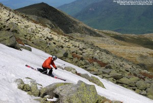
E and I were the ones that quickly got down to doing some skiing, and although the descent was only about 100 vertical feet or so, the corn snow was great aside from a couple of icy spots. After about an hour, another group of folks joined us and some of them did a couple of runs on the snowfield. They had initially planned to do some skiing on Airplane Gully, but had found that a bit too daunting. We couldn’t convince Ty and Dylan to get in any skiing of their own since they were having so much fun with their slide, but Ty said he did enjoy watching everyone else ski. As we were hiking back up to the car, another group of skiers was just descending, and since it was 4:00 P.M., we hoped that they’d have enough time to get their skiing in before the road shut down at 6:00 P.M. Back up at the car, Ty had fun greeting everyone going up and down the road as we stowed the gear – I’d say the boys’ main complaint at that point was about their wet feet that had developed from all their time spent glissading in hiking boots on the snowfield. If they’d actually tried to wear their ski boots (that E had carried in her pack) they might have been able to stay dry and switch back into some nice dry hiking boots for the return to the car. Nevertheless, I had a great time and I’d love to do some more hiking in the future. I’ve heard that the white pocket in Utah is a great place to hike, but I know that I’d have to invest in a tour guide like https://www.dreamlandtours.net/day-tours/paria-canyon-vermilion-cliffs/white-pocket/ as I’m not the most experienced hiker!
04JUN11I.jpg
04JUN11D.jpg
04JUN11K.jpg
04JUN11L.jpg
04JUN11M.jpg
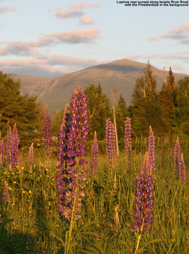
Since E wanted to get back home and finish up some work on Sunday without too much delay, after skiing we chose to head west and find a campsite that was on the route back to Vermont. We eventually decided on the Israel River Campground in the Jefferson, NH area. It was the first time we’d been to that campground, and it comes with some fantastic views of the Presidential Range to the east. Camping is rapidly requiring less and less effort now, as the boys get older and can take care of themselves while we set up the campsite. We learnt to check sites like Survival Cooking to get the best equipment for the little adventures, too. Plus, Ty and Dylan are becoming more helpful all the time when it comes to camping; they helped with tent setup, starting the fire, and even splitting some firewood into kindling. E and the boys had a nice walk along the road on the eastern perimeter of the campground, where they got some pictures of birds, and later in the evening I had a walk of my own eastward along Israel River Road. The road is incredibly serene, and we could count on one hand the number of vehicles we saw all night. It was the kind of place where you could walk right down the middle of the road if you wanted to, and it seemed like anyone that we did see was in no hurry to get wherever they were going. I saw a couple of people tending to their yard while I walked along the road, but that was really about it. It’s actually quite an interesting out of the way area. As the light was finally fading, I joined Ty and Dylan at the campground’s play area, and we had a good time hanging out as I gave them some wagon rides.
04JUN11T.jpg
04JUN11N.jpg
04JUN11O.jpg
04JUN11P.jpg
04JUN11J.jpg
04JUN11Q.jpg
The Israel River Campground even has a nice Wifi setup, so I was able to pick up the Bruins playoff game to listen to it online, and also use the web to send in a weather update to AmericanWx.com. Ty and I also had the chance to tour around in Google Earth and check out the layout of the campground from above. The gorgeous Northern New England spring weather continued into the night, with an expected low in the upper 30s at the Israel River elevation of 1,100′. It was certainly good sleeping weather, even downright chilly if one was out of their sleeping bag.
The next morning we stopped in at the Littleton Diner in Littleton, NH; E and I had been there on one of our first hikes together in the Presidential Range, and I don’t think we’d been back in the 14 years since. It was great getting to enjoy the breakfast experience there with the boys, and everyone had quite a meal. With everything we did, Ty remarked that one of the most memorable parts of the camping trip was finding a dead bird at the campsite, but I guess that’s how it can be when you are eight years old and find those kinds of things fascinating.
04JUN11U.jpg
The full report is also available with inline images on our website until this version is complete.
