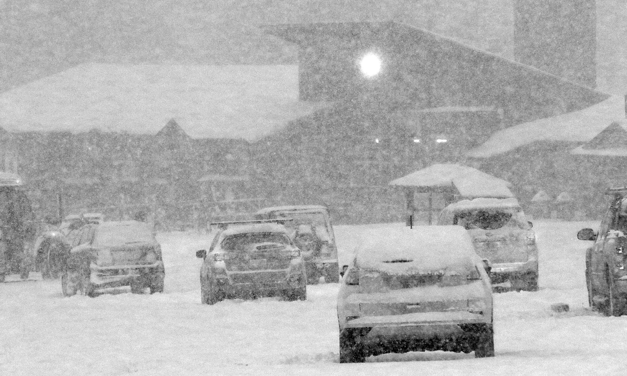
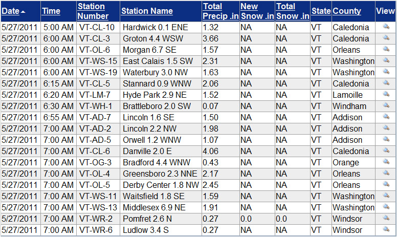
It didn’t seem like it rained a lot last night, but I found 1.63” in the gauge this morning, so it obviously added up. We had some losses of power similar to what Powderfreak noted – a couple short ones in the evening, and then it went back out again around 8:00 P.M. and it was gone for the night. It came back on early this morning at some point. I didn’t stay awake for it, but apparently we had thunder and lightning pretty continuously through about 2:00 A.M. This morning I was surprised to see the Winooski way back up to a level even with our local V.A.S.T. bridge and hogging almost the entire valley in our area, just like back in mid April when the snowpack was starting to melt. I think it may have even been a bit higher this time, as the typically flooded residences and farmland west of the Cider House seemed quite inundated with water. The water was probably the closest I’ve seen it to washing over Route 2 in that area – I think another foot of depth and there would have been water on the road. I was surprised it got so high relative to the amount of water I recorded in the gauge, but then I checked the CoCoRaHS maps and saw that one observer over in Caledonia County reported 3.66” of water with this event. I don’t think they are actually in our drainage, but clearly someone out to our east got a load of water from these storms overnight. Our bus was late this morning due to road closures in the Montpelier area, so things have certainly been disrupted by the water. I added an image of the VT CoCoRaHS table of Daily Precipitations Reports as of ~7:30 A.M. this morning, and it indicates that someone over in Danville got over 4 inches of liquid from these storms, so there are reports of some large amounts of liquid coming in from Caledonia County.
Stowe, VT 06MAY2011
I headed up to Mt. Mansfield this morning to get in a workout and take advantage of the fresh snow that had fallen since Wednesday. Once I got out of the fog that had settled around our house in the Winooski Valley, there were fantastic views of the fresh snow on the Green Mountains, and Mt. Mansfield’s alpine terrain was especially scenic. I started my skin up the gondola side of Mansfield at around 7:00 A.M., and found the following new snow accumulations with respect to elevation:
1,600′: ~1/4″
2,000′: 1-2″
2,500′: ~4″
3,000′: ~6″
3,600′: ~10″
It was a little tough to get the depths on what had fallen because the new snow was so well integrated onto the old base, but those were my best estimates and I’d say they’re pretty decent. In terms of the skiing, the new snow was certainly more akin to dense Sierra Cement than Northern Vermont’s famous Champlain Powder™ fluff, but the turns were really nice; the dense snow did a great job of keeping one up off the old base. For the full details, links, and all the photographs from the day, click through to the full trip report from Stowe on May 6th, 2011.
Snow line around 1,500′ this morning
It was ~41 F at the house this morning, so I suspected that the snow level was still a bit high for new powder in the easily accessible elevations, but I checked in at Bolton on the way in to Burlington this morning to get a handle on where things were at in terms of base and new snow. I could tell that it wasn’t yet a huge hit below 2,500’ yet because the cars coming down the road didn’t have snow on them, but the precipitation certainly looked like snow up high. Here’s the vertical temperature profile I observed on the Bolton Valley access road around 7:00 A.M. with comments on the precipitation/accumulation; hopefully it will be useful for other mountain recreationalists:
340’: 41F (light rain)
950’: 40F (light/moderate rain)
1,100’: 39F (moderate rain)
1,500’: 38F (moderate rain/snow)
1,800’: 37F (moderate snow)
2,000’: 36F (moderate snow)
2,100’: 35F (moderate snow, accumulating)
As you can see from the above list, snow wasn’t accumulating until I reached the village at 2,100’, but it seemed to be accumulating on most surfaces other than the pavement, and there was probably ¼ inch down when I was there. Skier’s left of Beech Seal showed a couple of breaks in coverage, as I suspected it would based on my Sunday observations, but it was still pretty close to continuous.
Even back down in the valley, there were some bouts of moderate precipitation, so hopefully that continues to hit the mountains. Roger Hill was thinking that the snow level would rise a bit during the day today, so that may have to be factored in as well.
Bolton Valley, VT 01MAY2011
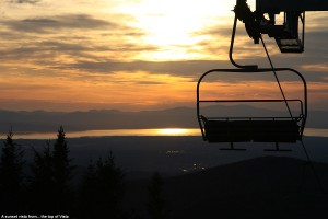
It was a busy weekend culminating with Ty’s first communion and the ensuing party today, but once things had wound down by the afternoon, I had a chance to head up to the mountain and make some turns. There was fresh snow on April 23rd, but the snowpack has certainly crept upward in elevation since April 17th, which was the last sunny day I was out on the mountain. At that point the first signs of natural snow appeared at around 900’, but today the natural snow didn’t appear until roughly 1,750’. Timberline had just a couple patches of snow remaining, but up at the main base the snowpack was quite substantial. There is continuous snow coverage on Sherman’s Pass to Beech Seal, and possibly other routes as well, and I caught a sunset run through the corn to finish off the amazing sunny weekend that we were given. For more details and pictures, click through to my Bolton Valley trip report from May 1st, 2011.
