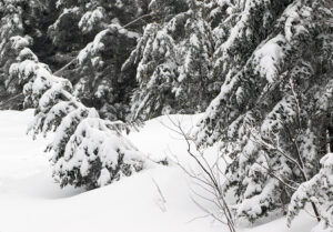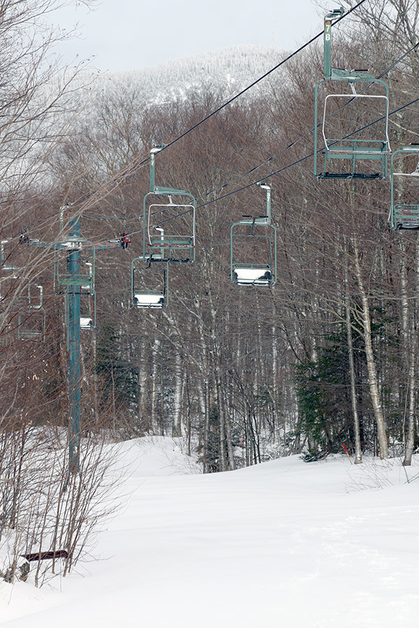
As the forecasts have been hinting at over the past several days, a late season winter storm has moved into the area as we close out the week. The forecasts have been suggesting the potential for a foot or more of snow along the spine of the Northern Greens, and as is common in these late season events, substantially lower accumulations were expected upon descent down into the valleys.
While the initial stages of this storm were focused in New Hampshire and Maine, producing more than a half foot of snow at relatively low elevations, the more potent part of the system for our area was expected to be the upslope precipitation on the back side of the storm. The precipitation at our house at 500’ elevation down in the Winooski Valley had largely been rain for this event, but this morning we began to get some snow and a bit of accumulation.
The snow really struggled to accumulate in the valleys today, but up in the mountains it was a different situation. By midafternoon as I checked on the Bolton Valley live webcams I’d say there was already an inch or two at 2,100’ in the Village. For the local mountains, the slightly lower temperatures had definitely helped promote accumulations today relative to yesterday, where you could see the new snow down at the main base kind of accumulate and melt back to expose areas of old snow. Those areas of snow were pretty well covered up this afternoon. From images shown by the Vista Peak cam, it was clear that there had been at least a few inches of snow up at 3,150’, but it was hard to get a detailed sense for the new snow due to the winds.
What I’d seen from the webcams by the afternoon was certainly enough to get me to head up to the mountain for an exploratory tour, but I wasn’t quite sure enough of conditions to entice the rest of the family to go.
At the base of the Bolton Valley Access Road at roughly 340’, there were no signs of snow accumulation, but right around 900’ you could see the first traces of white, and they quickly jumped up by the time you hit the Bolton Valley Welcome Sign at ~1,000’. There were a couple of inches of new accumulation at the Timberline Base, and continuing on up to the Village. I found a solid 4-5” in the parking lots. Heading farther upward with my tour in the Wilderness area revealed the following elevation profile with respect to storm totals:
340’: 0”
900’: T
1,000’: ½-1”
1,500’: 2”
2,000’: 4-5”
2,500’: 7”
3,000’: 8-9”
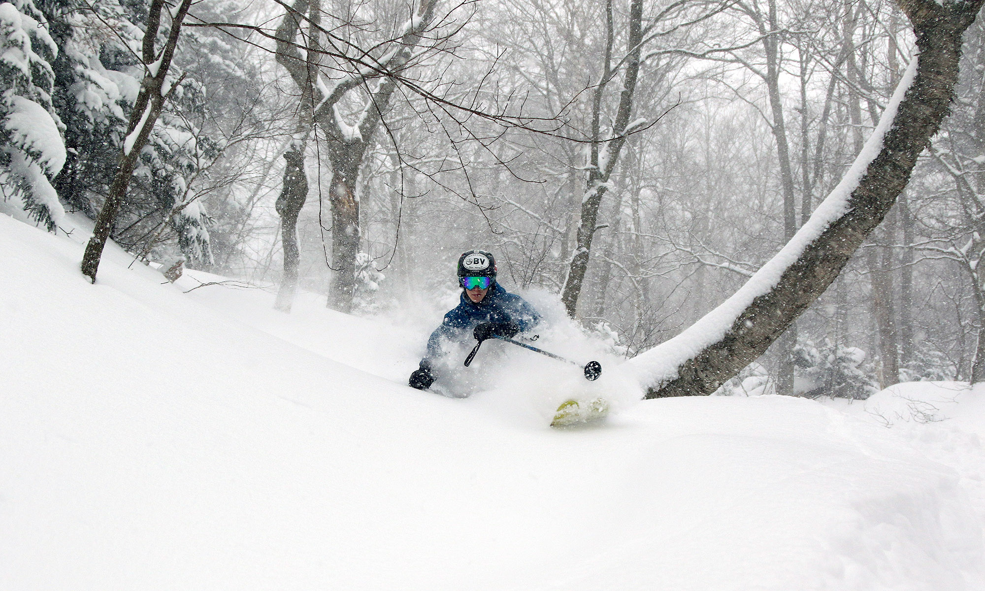
Right near the start of my ascent on Lower Turnpike, a skier cam swishing by through the powder on his descent and shouted “Don’t head up, it’s not worth it!”, but I laughed in reply because it was obvious he was being sarcastic. The turns looked fantastic and belied his remark even down at that elevation with a nice 5-6” of medium-weight powder.

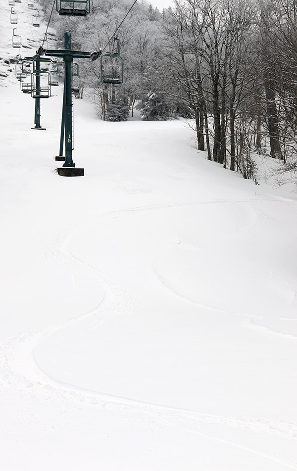
Indeed, despite this being a late season storm, the snow wasn’t really wet at all out there today (at least where I was touring in the 2,000’+ range). It was reasonably dense and offered plenty of bottomless turns, but certainly not unlimited bottomless turns on all the steepest pitches. We’ve had roughly 1.25” of liquid equivalent from this event down at the house, so there’s certainly a decent amount of L.E. in that snow at elevation where they’ve had little if any rain. Today I toured up to the Wilderness Summit, then around to Bolton Outlaw and on back down toward Lower Turnpike. The turns were excellent and there had been very little skier traffic.
It was interesting up on the mountain today because a bit of sunshine appeared near the start of the tour, but by the time I was finishing up it was pounding heavy snow made up of big flakes. It was in the 20s F and snowing so hard in the Village at that point that it felt like it had to be accumulating down in the valley, but it was an impressive gradient as I headed back down the mountain and the snow still wasn’t really accumulating much below the 1,000’ level.


One Reply to “Bolton Valley, VT 10APR2020”
Comments are closed.