Another winter storm was expected to move into the area for the late week period into the weekend, and Winter Storm Watches went up for the Adirondacks starting on Tuesday. Those watches were eventually extended into Northern Vermont, and finally converted over to Winter Weather Advisories and Winter Storm Warnings on Wednesday as the storm became more imminent. Frozen precipitation began to mix in at our house in the valley not too long after midnight last night, and it was obvious because I could hear the sleet hitting off the windows and checked outside to see what was up. I suspect it stayed mixed like that much of the night because there was nothing more than a trace of frozen accumulation this morning at our CoCoRaHS observations time. The mountains were easily accumulating snow though, and looking up into the local hills, the accumulating snow line seemed to be around 1,000’ or so.
The precipitation changed fully over to snow today not long after my morning CoCoRaHS observations at the house. I headed up to Bolton for some turns, and found the following storm accumulations starting from near the Bottom of the Bolton Valley Access Road:
500’: 0.5”
1,000’: 2”
1,500’: 5”
2,000’: 7”
2,500’: 8”
3.000’: 9”
The biggest jumps in accumulation certainly appeared to be in the 1,000’ to 2,000’ elevation band. The resort is reporting 9” in the past 48 hours on their snow report, so that seems in synch with what I found up at the main mountain.
When I was out today at Bolton I saw that the front face trails on Vista had been absolutely hammered by the wind, which is not surprising with the way they face west, but apparently even areas of the east side of the Green Mountains got hit pretty hard as well. Timberline is usually a nice place to go to get away from the wind, but it’s not open right now because coverage just isn’t great down that low, but lower Wilderness is another good option for sheltered terrain, and that was serving up some great powder.
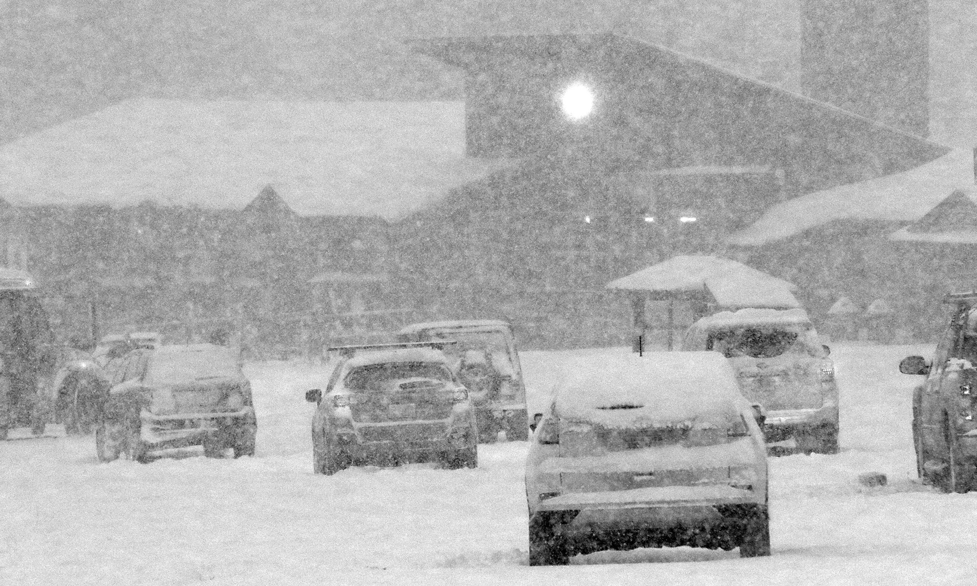
I started skiing not too long after opening today, and it was really dumping when I arrived thanks to a fresh push of moisture that hit in the morning. The old base snow is just so consolidated and hard after a couple weeks of spring weather and no new snow, that I didn’t really find any of the steep groomed terrain that had really improved. Either the wind had blown everything away, or it was exposed enough to the wind that the groomers couldn’t do much with it. Low and moderate angle groomers on the bottom half of the mountain seemed to have incorporated the snow nicely though – turns were nice and quiet, so the new snow must have stayed put and been churned in by the groomers.
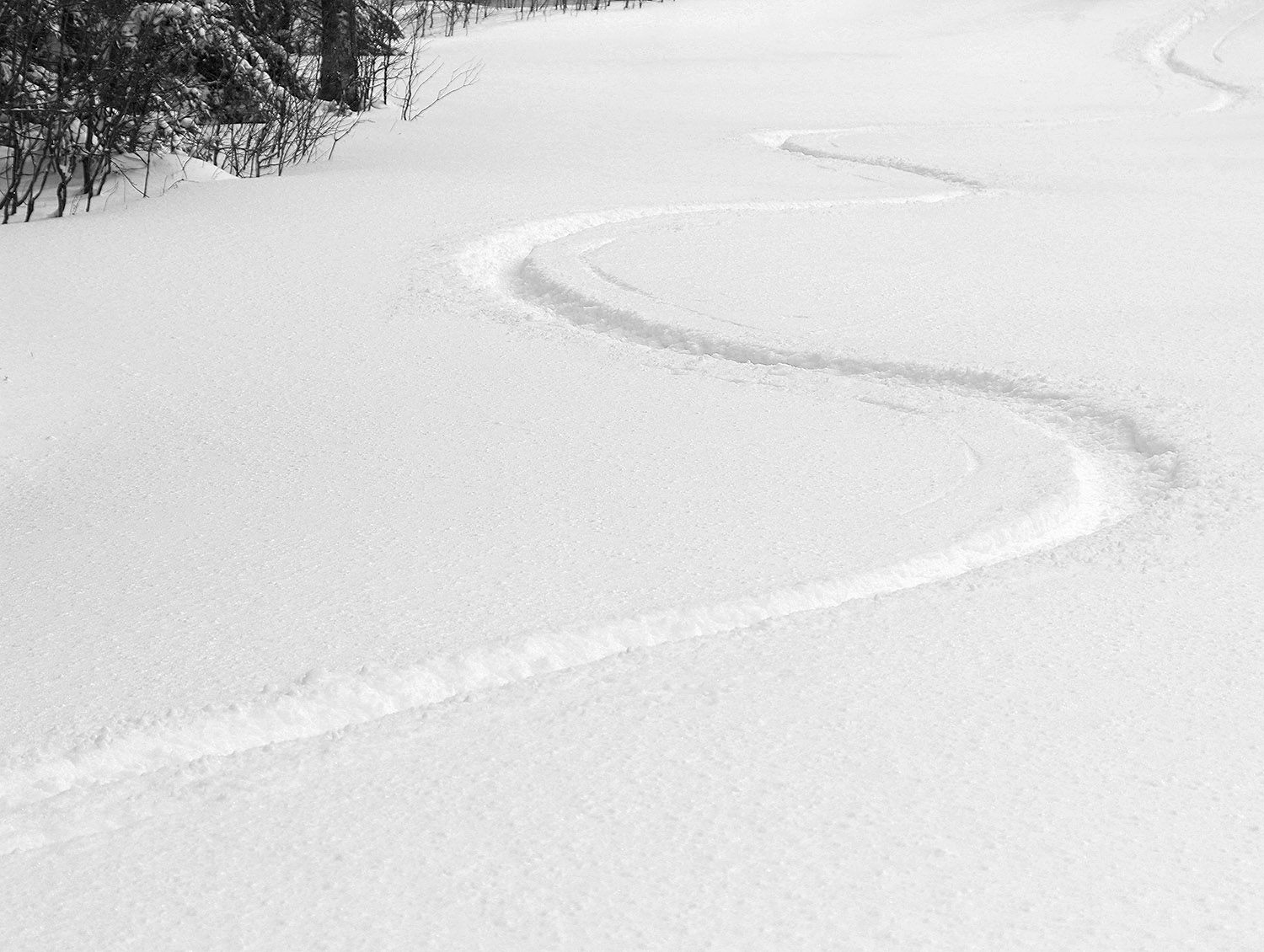
Low and moderate angle powder terrain was the way to go though. I’d thrown both fats and midfats on the car today, and ended up using the midfats and found they had plenty of float. There’s was definitely enough L.E. in the snow to set up everything below black diamond pitch.
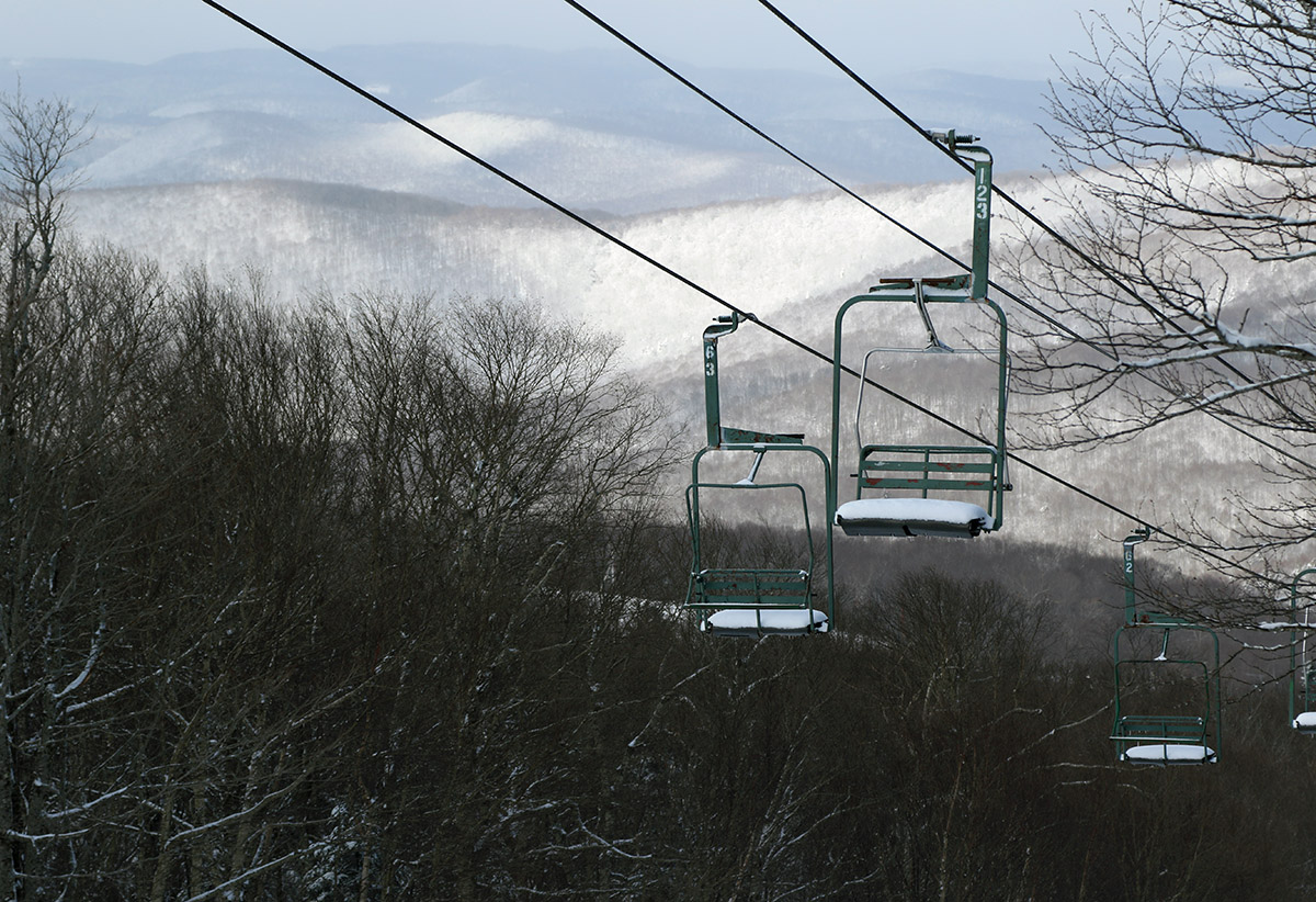
After skiing, I found that it continued to snow all the way in to Burlington. The snowfall intensity actually kept increasing as I headed into the Champlain Valley, but temperatures were a few degrees above freezing so the roads just stayed wet. During the day today in Burlington we had some periods of heavy snow with huge flakes during that banding, and it accumulated to an inch or two. At our house in Waterbury it continued to snow, but outside that heavy snowfall band off to our west, the snowfall intensity was just too light to accumulate to more than a tenth of an inch at valley elevations in our area.
We picked up most of our snow at the house with a subsequent round of precipitation that came through in the afternoon, and we’ve been having another round of that around here this evening as well.
