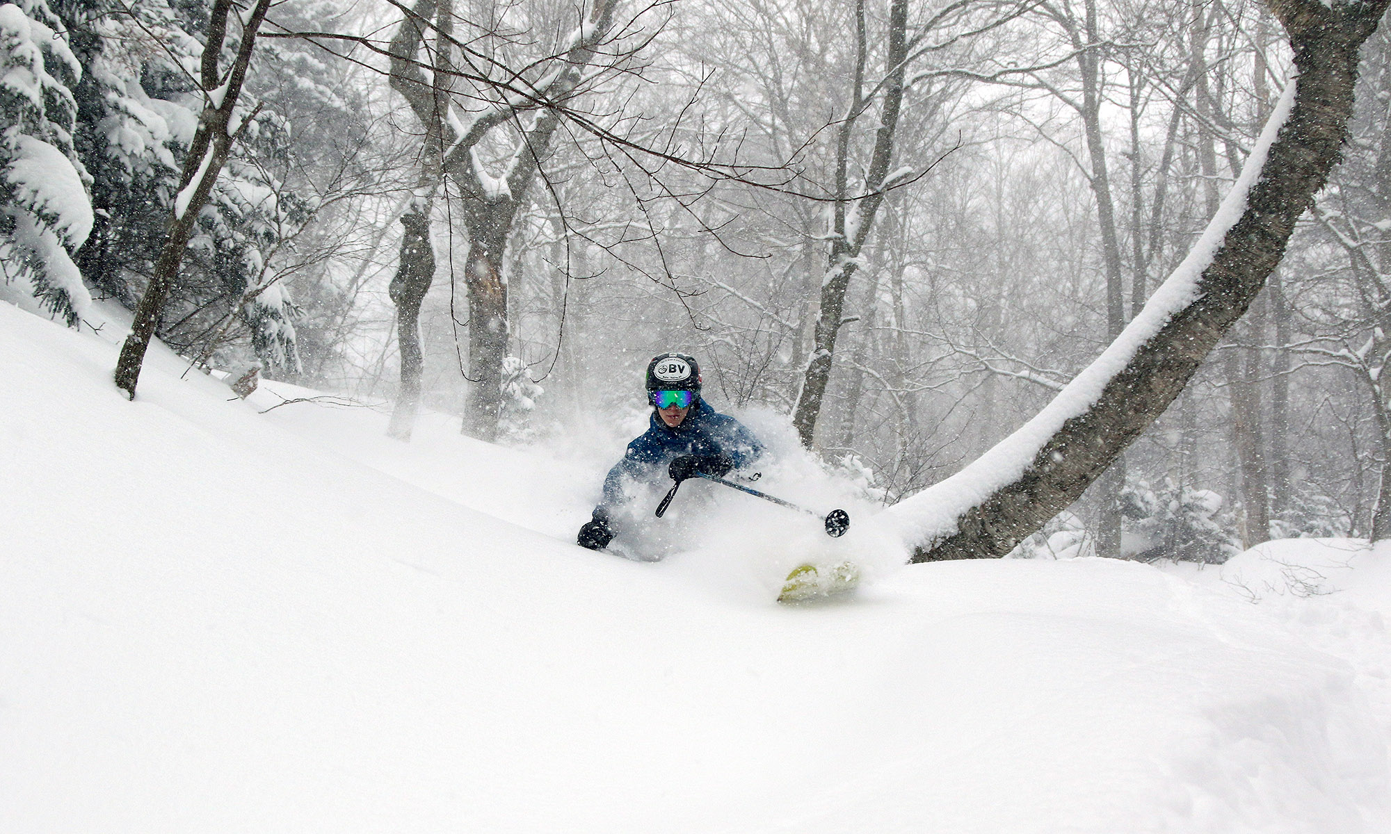
It looks like the next snow event in our area is on tap for tomorrow, with low pressure tracking into Southern New England. Checking in on the discussion from the National Weather Service office in Burlington, the snow level is expected to rise to the 1,500’ to 2,000’ range, with mixed snow and rain below that. The point forecast for our elevation in the Winooski Valley at ~500’ suggests 1 to 3 inches of snow in the Wednesday timeframe, with a bit more possible on Wednesday and Thursday nights. In his broadcast this morning, Roger Hill was suggesting the potential for a couple of inches of snow tomorrow morning affecting the commute. Point forecasts for the higher elevations to our north have 2 to 4 inches in the Wednesday timeframe, and farther to the south, 3 to 5 inches is coming up where the NWS says a good combination of the surface track placement and 500 to 700 mb lift get together. After that, the next storm is expected to come into the area Thursday, and provide precipitation chances through Sunday. It’s another warm system, but there will be chances for snow, especially in the higher elevations.

Vermont Skiing & Winter Weather