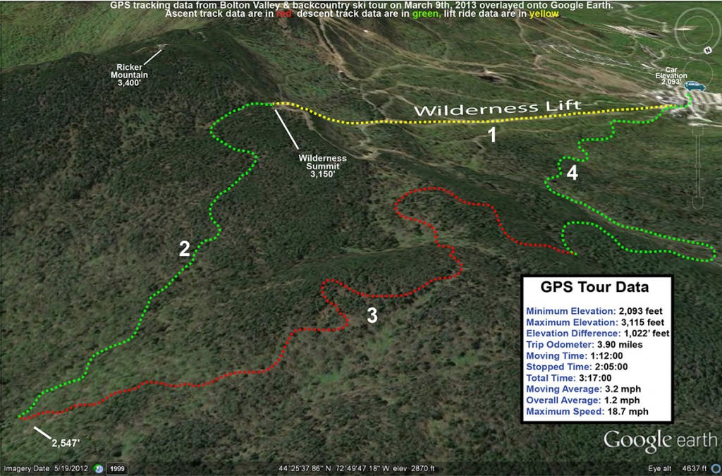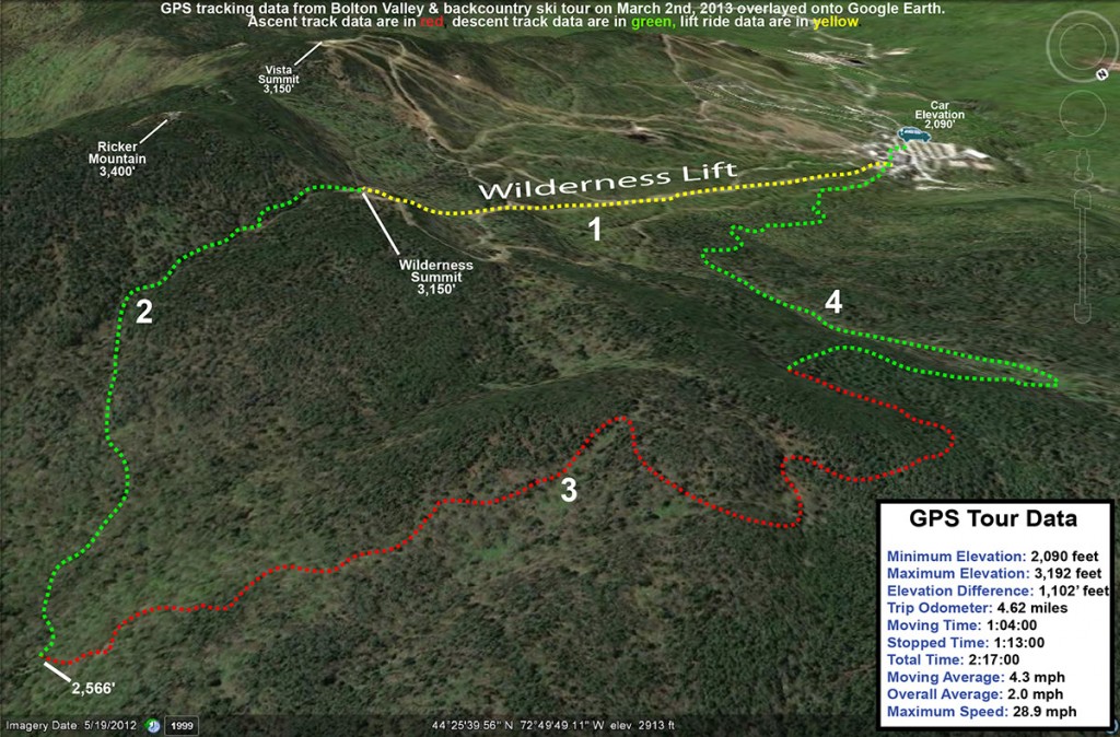
E had been talking about getting another evening of skiing in at Bolton Valley before the season ended, and things came together today to make it happen. I’d initially forgotten about the potential plans when she called me at work this afternoon, especially since I was somewhat satiated and ready to get a lot of work done after a great morning session at Timberline. Although I did have a lot of work that I wanted to get done in the evening, she said that the boys were interested in going up for some skiing as well. It was hard not to jump at the opportunity if they were eager for some turns – an evening out on the slopes would probably be better for everyone than an evening of TV or similar indoor things. Even if there isn’t an ongoing hefty storm to really sweeten the deal, conditions are pretty darned good after the recent snows, and temperatures haven’t been too bad either. As we chatted on the phone, I began to describe the fantastic turns that I’d had this morning, lamenting the fact that they weren’t there to experience the powder. But, as we began to plan the evening, I suddenly realized that they actually could get out on that same snow. We’re into daylight savings time and past the spring equinox now, and there’s light in the sky until 7:00 P.M. The evening plans began to shift, and pretty soon we were discussing the logistics of an evening Timberline run. I initially thought that we should just skin up like I’d done in the morning, until E pointed out that it could be done much more quickly if we used the lifts and made it a sidecountry run. That was brilliant of course, because it would be much faster for the boys than trying to do a full ascent under their own power.
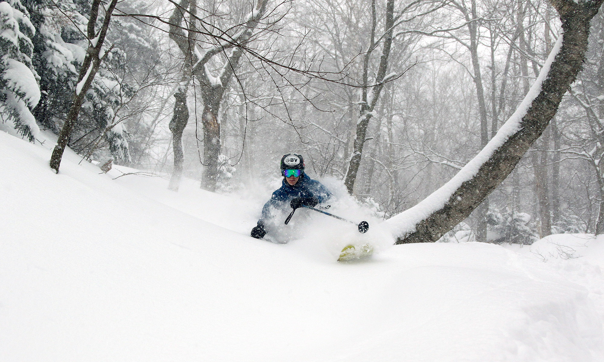
“…it was the kind of snow
that made you just want
to keep going and going
with turn after turn, and
apparently that’s what I
did.”
Even with the relatively late sunset, time was still going to be of the essence, so we quickly decided on how to optimize our schedule. E and the boys were at the house, just a few minutes from the resort, but I was farther away in Burlington. Conveniently though, I still had all my gear right in the car from my morning outing; I could get into my ski clothes on the way to the mountain, and easily be there by 6:00 P.M. ready to go. That would give us a good hour of light, which would be plenty of time for a lift-assisted lap on Timberline.
I made good time traveling from Burlington, and arrived in the Timberline lot a few minutes before 6:00 P.M. That gave me enough time to park my car, get into my ski boots and outer layers, and have all my gear ready to go by the time E and the boys arrived. They picked me up and we headed up to the Village. There were no concerns about leaving a pair of “driving boots” in the car (one of those logistical aspects that has almost caught us in the past) because I was already in my Telemark boots and I had two other pairs of boots/shoes in the car. We were good to go. E dropped me and the boys and all the gear off right at the base of the Snowflake Lift, and we got everything ready while she parked the car and got suited up herself. It was fun to be on that end of the preparation duties, since I’m typically the one parking the car. Within a few minutes we were on the Snowflake Lift heading upward, with the sun still well above the horizon. Even without lights, the resort still had all the trails of the Snowflake area open because of the extended daylight, so we easily made it over toward Five Corners and up to the Timberline Summit.
Everything had gone smoothly on our part, but there were still a couple of potentially confounding factors with regard to the skiing: 1) since the resort is planning to resume Timberline lift service tomorrow, they had been grooming some of the terrain, and 2) even with relatively cold temperatures, it appeared that sun exposed areas on the western slopes had melted a bit due to the strong March sun, and that left a sun crust that we’d want to avoid if at all possible to get the very best powder turns.
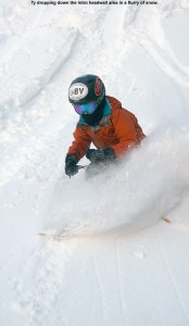
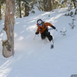
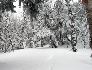
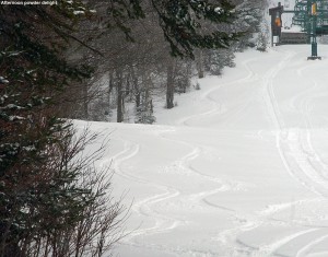
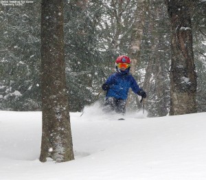
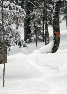
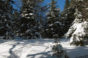
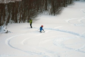
The upper part of Brandywine had been groomed pretty thoroughly, so that only left a few options for powder skiing. As I expected, we found that the shaded, skier’s left of the trail yielded the best snow – in most cases one could get powder that was just as pristine as what I’d found in the morning. With some grooming having been done on both Showtime and Twice as Nice, Spell Binder gave the most available powder below the top section of terrain, and we made our way there. Just like I’d experienced on Showtime in the morning, the Spell Binder Headwall was in decent shape aside from a little scouring at the very top – I’d say we have the easterly wind to thank for that. As long as one stayed along that skier’s left, and fortunately there was plenty of untracked snow there, they were catching some very good powder. Dylan, E and I focused our efforts on that area, while Ty, who had decided to go with his fat alpine skis, seemed to have no problem ripping up any part of the trail, regardless of whether it had seen the sun or not. He was simply flying down the slope at times – at one point he said he was going so fast that he wasn’t even leaving a track. I think a little sun crust might have been involved in that one, but he really did seem to be a kinetic blur most of the time off to our right, and he does seem to have elf-like abilities at time atop the snow. Dylan had daringly chosen to go with his Telemark skis, and certainly struggled at times, but he also made some really nice turns. E was initially disheartened with the performance of her fat skis on some of the packed terrain we’d hit on the way down, but they sure seemed to work well for her when she was in the powder – as they should. I had no complaints, my AMPerages did heir amazing job in the powder, and even when I strayed a bit far toward the crust, they seemed to help me get on track with plenty of crust-busting power. Like this morning, it was the kind of snow that made you just want to keep going and going with turn after turn, and apparently that’s what I did. E thought I might stop at one point as we were farther down the trail to pass the camera off to her for some pictures, but she was surprised to see me just cruise right on by. In reality though, pictures were getting tough as time wore on – the sun was going down and the light was getting quite dim. Low light is the enemy of high speed photography, and we were pushing it even with using the DSLR. We still got some decent shots out of the session, even if I had to crank up the ISO to somewhat grainy levels. We definitely made the most of the light we had.
It was kind of neat the way things came together this evening to let us get in that late-day sidecountry run, and we’ll definitely have to keep these sorts of spring days in mind for future. We’ve got more snow coming in over the next couple of days, with more fluff to top off what’s currently out there. I think it’s going to be a fun experience as we balance out the new snow with which aspects and elevations have seen that bit of sun crust, but I’m sure there will be some great turns out there this weekend.
