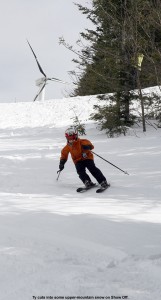
Today we headed up for what will probably be our last lift-served day at Bolton this season, since Bolton won’t be running their lifts after this weekend and we’re planning to head to Stowe tomorrow. It was as excellent day with some almost wintry snow to start in the morning, which gradually became more and more spring-like as the day went on. We skied with many friends and family including my mom, Stephen, Johannes, Helena, Claire, Luke, and Claire’s sister Missy and her whole family. The last regular turns of the season on the mountain are always bittersweet, but it was a great way to end the lift-served portion of the winter at Bolton with full coverage and a deep base. For all the pictures and the full text from our adventures, check out my report from the day. The season ended around average with 330 inches of snowfall, and we’re already looking forward to next season when we expect to see more of Claire and Luke who just became Bolton Valley 2011-2012 season passholders!
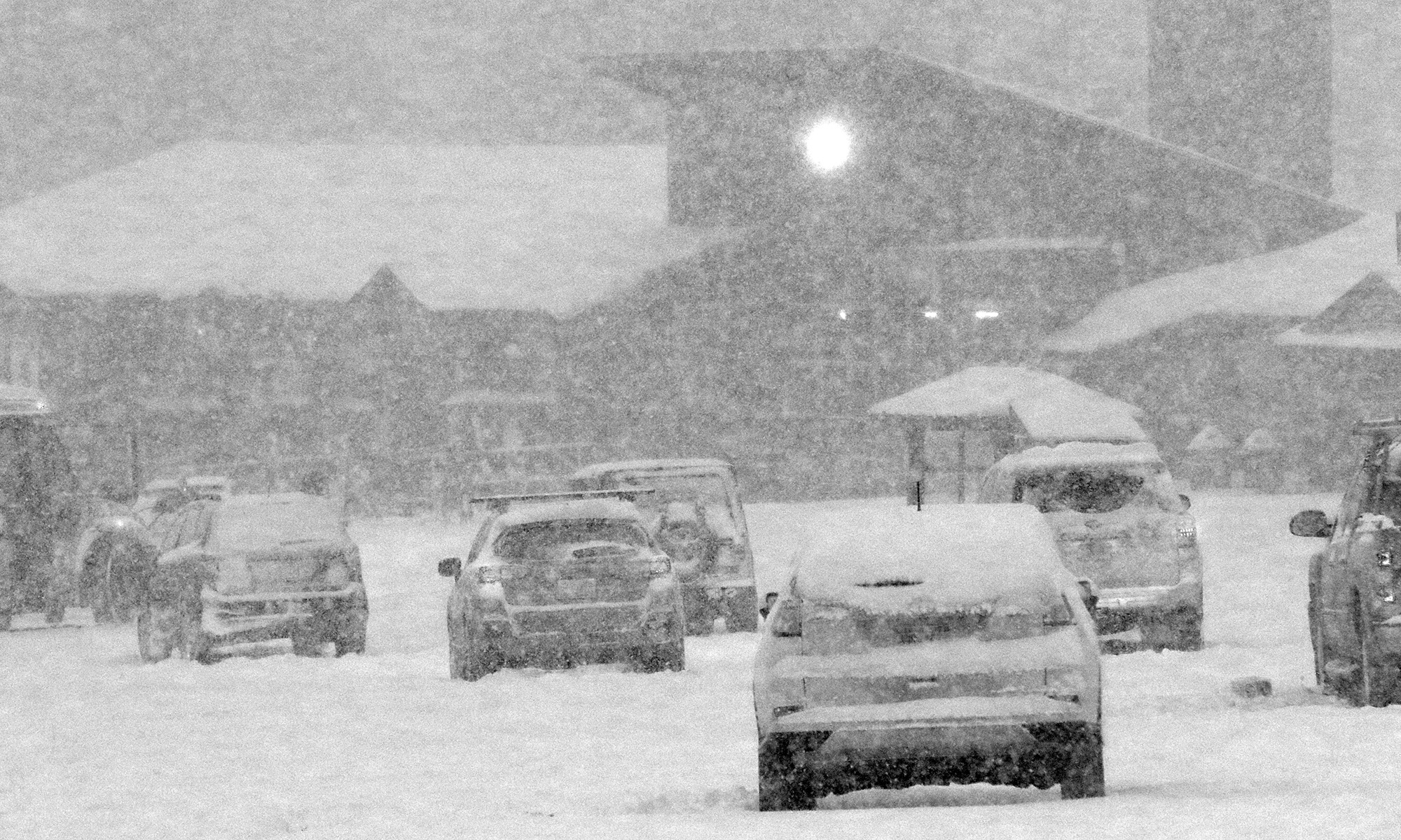
Bolton Valley, VT 07APR2011
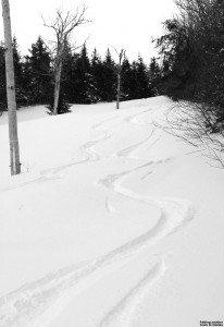
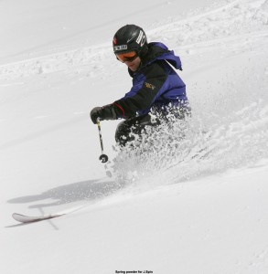
I headed up to Bolton Valley today and got in on some of the powder from the recent snowfall. The depth of the new snow was topping out in the 9-inch range, but the nice density gradient had it skiing deep just as Denis commented in his report from Stowe, and Powderfreak indicated in his initial update as well. It was another great April powder day in the Northern Greens, read my full report to see more pictures and details.
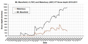
100 Inches
Stowe, VT 03APR2011
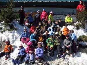
Today was our final BJAMS ski program session of the season at Stowe, and we had a nice sunny day with great coverage to finish things out. The conditions were actually an excellent combination of going from mid winter up high to spring-like down low, with easy to ski snow at all elevations. I was amazed at the way the Nosedive Glades had mid winter snow. Groomed surfaces seemed much better than last Sunday’s heinous frozen granular, presumably because of some extra snow and warmth from the sun helping out. While the non-groomed trails were OK, they probably weren’t quite as fresh as last week when we had all that upslope snow. We did ski the lower part of Lookout and found some decent packed powder surfaces, but also spots of iciness that had to be avoided. The snowpack on Hackett’s Highway under the triple continues to be impressive – I could touch my ski pole to the trail while riding the lift. We had Ty, Dylan, Jack, Luke, Ethan, and Madeline in the group – and they had quite a blast hitting the big half pipe. My friend Chris joined our group, so with Claire and Sue we had four adults for the six youngsters, providing plenty of supervision. It looks like Stowe will be open for a couple more weeks, so we’ll likely be there for some visits if the skiing looks good. Coverage shouldn’t be much of an issue with roughly 100 inches at the Mt. Mansfield stake and more snow that fell today.
Bolton Valley, VT 02APR2011
We headed up to Bolton today to check out the powder from our recent storm, and conditions were great. We had some snowfall in the mid morning period that gave way to more sun as we approached noontime. For all the details and powdery pictures, check out my report from Bolton today.
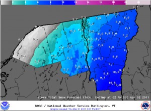
Thursday afternoon NWS snow accumulations forecast update
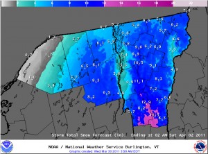
The afternoon update to the Storm Total Snow Forecast map from the National Weather Service in Burlington suggests a few inches less accumulation all around. A comparison to the previous map is in my afternoon post to the Northern New England thread at Americanwx.com.
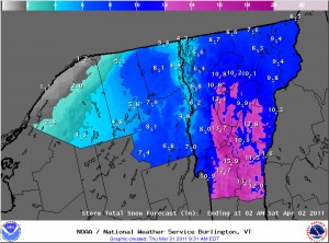
NWS potential snowfall update from mid morning
The National Weather Service in Burlington updated their potential snowfall accumulations map mid morning today, so I’ve added the latest version here. I discussed some differences from yesterday afternoon’s map in a post in the Northern New England thread at Americanwx.com.
Storm incoming, 1 to 2 feet possible for the Greens
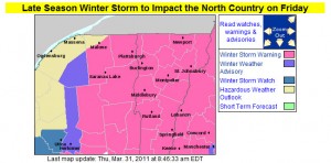
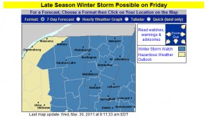
I’ve added the updated advisories and warnings map from the National Weather Service Office in Burlington, but their projected accumulations map looks similar to yesterday, so I’ll just refer to the one that was already posted earlier in the blog. In his forecast from this morning, Roger Hill suggested the potential for 1 to 2 feet in the Green Mountains, with 6 to 10 or 8 to 14 for some valley locations and the potential for school closures. Looking at the winter storm warnings from BTV, it seems that the biggest totals are more south of here, although as is often the case, if upslope gets into the picture later in the storm cycle, the Northern Greens seem to do pretty well. The current point forecast for our location in the Winooski Valley at ~500’ suggests 5 to 10 inches through tomorrow, and then additional snow Friday night, Saturday, and Saturday night. We’ll have to see how this system goes around here, but similar to what we saw in 2007-2008, we would be closing in on the 200-inch mark for seasonal snowfall at our location if we get a decent dump.
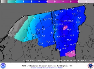
Afternoon update on potential snowstorm
I’ve added the latest Storm Total Snow Forecast map from the Burlington office of the National Weather Service in this post. The models are still moving around with the exact track of the system, but the NWS meteorologists feel that we’ve got a shot at some decent snow in the area. More details and a comparison of the morning and afternoon maps for potential accumulations are in my afternoon post in the NNE thread at Americanwx.com.
Potential April Fool’s Day Storm
There appears to be a storm on the way for the Northeastern U.S. in the Thursday through Saturday timeframe. The exact effects on our region aren’t known yet, but there is the possibility of some decent snowfall. I’ve added the latest Burlington NWS advisories and potential accumulations maps to this thread, and more details are in the NNE thread at Americanwx.com.