Bolton Valley, VT 04APR2024

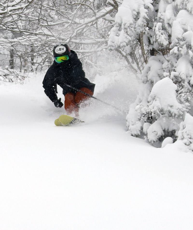
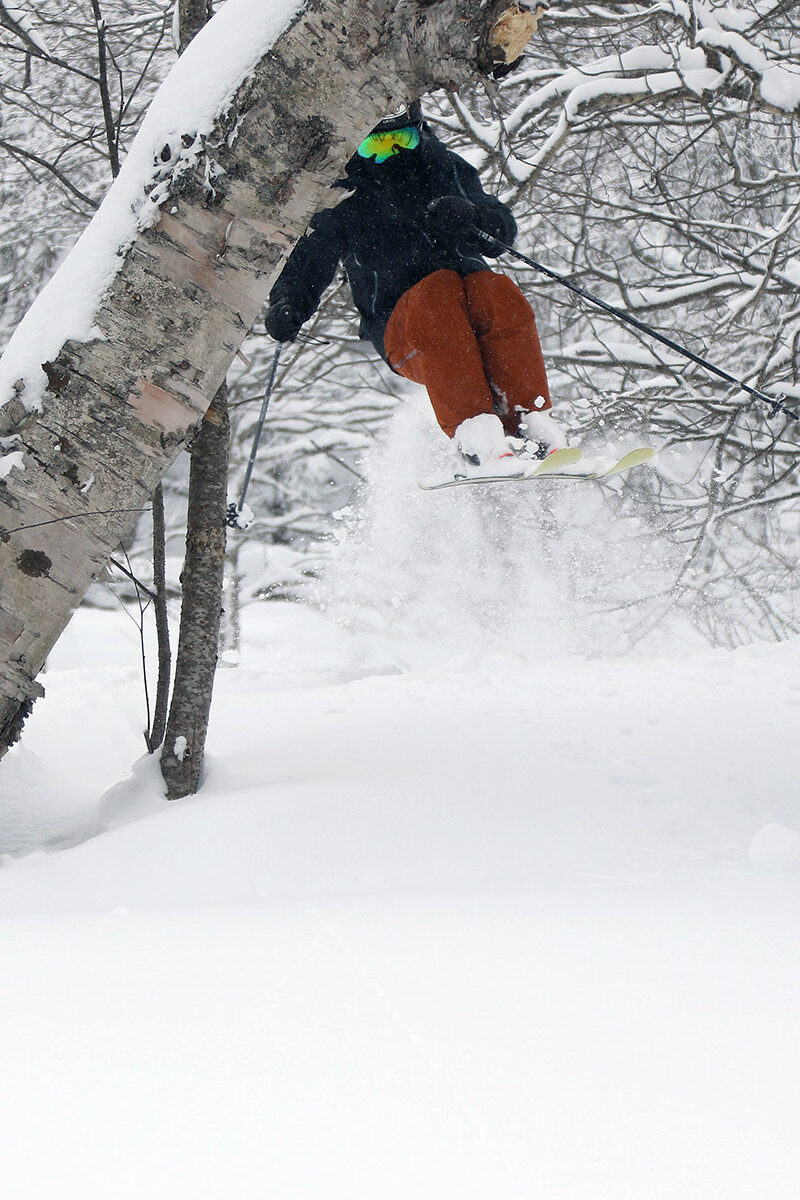
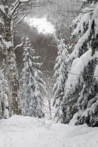
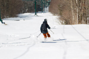
An image of the Devil's Playground area in April with plentiful fresh snow from Winter Storm Tormund at Bolton Valley Ski Resort in Vermont
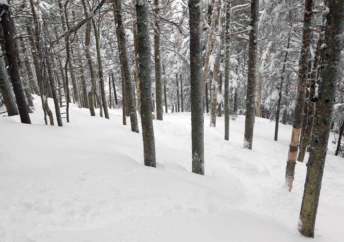
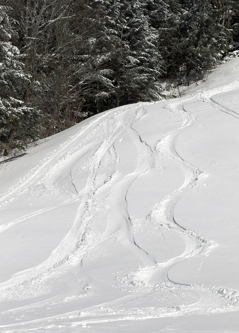
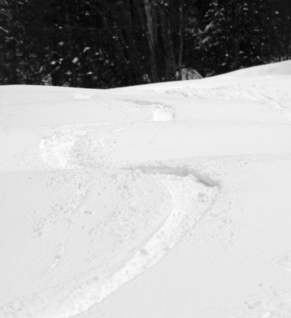
An image of steep terrain in the Devil's Playground area in April with plentiful fresh snow from Winter Storm Tormund at Bolton Valley Ski Resort in Vermont
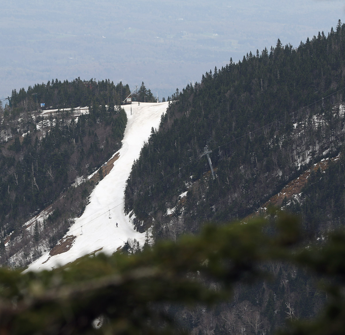
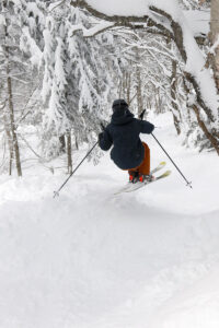
Dropping through the steeps of Devil’s Playground today at Bolton Valley thanks to 2+ feet of new snow from Winter Storm Tormund. Thanks to the density of the snow that fell atop snowpack from a long winter season, you could hit just about any terrain with reckless abandon and be well protected from any underlying obstacles.

I was too busy to get up to the mountain for turns this morning, but in terms of lift-served skiing at Bolton, that’s not an issue because their current midweek lift schedule is 12:00 P.M. to 7:00 P.M. It’s brilliant that they shifted to that schedule for lift operations, and they aren’t even using the lights for it because daylight simply lasts so long; their expansive western exposure really plays into that.

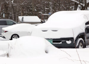
I did have time to get out for turns this afternoon though, and despite the substantial snows that are being deposited in the mountains and even all the way down to the lowest valleys, the road conditions have been quite nice with April sun intensity and temperatures near the freeing mark. It wasn’t until I was up around 2,000’ on the Bolton Valley Access Road that the road held any snow, and even then it was just a bit of slush with the help of plowing and salting, etc. It was snowing hard when I arrived at the mountain, probably in the inch per hour range, but nothing too outrageous, then it lightened up a bit as the afternoon wore on. There was some wind at times, but at other points it would be nearly calm, even up to elevations just below the ridgeline. Temperatures were in the upper 20 s F, or maybe a little lower than that in the summit areas, but it was comfortable in the way that you might expect April to deliver.

And the skiing… wow… what a resurfacing! I’m starting to lose count of the number of huge resurfacing storms we’ve had up here in the Northern Greens this season, but a quick look through my storm data from here at my site suggests the mountains have had at least 10 of them with an inch or more of liquid equivalent. That’s pretty impressive for a season that has been struggling to reach average snowfall around here, and it really gets one thinking about what an above average season can produce, since I don’t think we’ve had a solidly above average one since ’18-’19. In any event, I guess average to even a bit below average snowfall is certainly appreciated around here when it delivers like this.

So we’ve had a decent number of these resurfacing storms this season, but this one… Winter Storm Tormund, it really put down a shellacking of the slopes. As soon as I dropped into my first few turns off the Vista Summit, I knew; there had to be at least two inches of liquid equivalent in that snow. This wasn’t just your typical “nice, this is definitely keeping me off the subsurface” type of snowfall, this was on that next level. This snow laughed at the thought of you getting anywhere near the subsurface. We’ve had about an inch and a half of liquid equivalent in the snow thus far down here at the house, and with the way that snow skied on the mountain this afternoon, they’re obviously well above that.

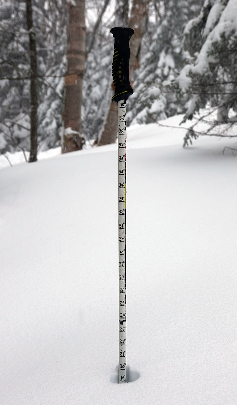
The early morning report from the resort was 6 to 8 inches of new snow, so I was surprised with how deep it was when I was up there this afternoon. I routinely measured 16 to 20 inches off the Vista trails, with 24 inches common in some areas. I even got some 30-inch measurements, although those could easily have been in hollows or due to a little drifting. Bolton is reporting 24 inches as their top measurement as of this afternoon, and I’d say that’s right in line with what I found out there. The snow isn’t wet, nor is it super dense, but it’s dense enough that you are well protected from hitting anything below. As is typical with this type of snow, the best powder skiing required substantial pitch, and this type of resurfacing just begs for you to ski the steep stuff anyway, so I obliged and hit the really steep lines off Vista. The super steep sections of Devil’s Playground were a hoot – I always forget just how steep they are, but with this snow you can simply drop in and fly with reckless abandon.

An image showing a measurement of 20 inches of new snow from Winter Storm Tormund in April at Bolton Valley Ski Resort in Vermont
Winter Storm Tormund really meant business in the local mountains – I was finding new snow depths in the range of 20 to 30 inches when I was out for my session at Bolton Valley today.

With the amount of liquid that’s already gone into the snowpack with this storm cycle, this is a major boost for the spring skiing season – at least with respect to the natural snow trails. The snowmaking terrain always lasts no matter what we get for spring storms, but having storms like these just bring more natural snow options to the table for much longer. And Winter Storm Tormund isn’t over yet according to the forecasts – it looks like it continues right into the weekend, so the storm totals and contribution to the snowpack will hopefully increase further over the next couple of days. Bolton was at 324 inches of snowfall on the season as of this afternoon, so it’s at least shaping up to be in the average range at this point.

Stowe, VT 29APR2023

An image of the Main Street trail on Spruce Peak showing some of the late April snow available at Stowe Mountain Ski Resort in Vermont
An image of the base area of Spruce Peak at Stowe Mountain Resort with some of the lower ski slopes in the foreground.
Snow still covers many of the slopes of Spruce Peak, providing some excellent spring turns.

Similar to last weekend, Saturday seemed like the better weather day for skiing this weekend, so today I headed to Stowe for some turns on the spring snow.  I visited the Gondola terrain last time, so for this outing I decided to get in some skiing on Spruce Peak while the south-facing terrain is still offering some reasonable descents.

Starting from the MMSC parking lot, I had to hike for roughly 5 to 10 minutes before I was able to start skinning, and then I eventually made my way over to Main Street for the rest of the ascent.  Main Street coverage is nearly continuous over most of its course except for the very bottom down near the base of the Sensation Quad, and up in the flats near the top.  So, I topped out a bit shy of 3,000’ on the ascent vs. continuing on to the summit station of the Sensation Quad.  I was definitely happy to stop where I did though, because southerly winds were absolutely howling ahead of the approaching storm.  Main Street faces directly south with lots of exposure, so winds were sustained up in the 30 to 40 MPH range near the 3,000’ mark.  I actually pulled into the forest to remove my skins and gear up for the descent, and that gave me a break from the constant buffeting of the strong winds and helped avoid the likely frustration of things flapping around and flying away.

Main Street offered up lots of those steep, buttery spring snow carves that is typically does, and I didn’t spot any major areas of undermined snow that were of any concern.  I was able to get down into the flats above the base of the Sensation Quad with just a couple short stretches of breaks in the snowpack.  Although not quite 100% continuous from the Sensation Quad summit because of the break in the upper flats, the area still offers up quite a good yield of skiable vertical for the investment of the ascent.  Taking in the views across to Mansfield gave me a nice look at the ski options throughout the resort, and there are still numerous ascent and descent routes for great touring.  The snow on Nosedive looks a little more burnt out than I would have expected, but the melt out is different every year, which is part of what makes it interesting.  North Slope and the surrounding trails in that area seem to have some great coverage, so there should be some good options around there for quite a while.

Near the end of my tour, rain shafts started to show up among the mountains to the south, and I was able to watch the peaks disappearing as the incoming storm moved into the area.  The first spits of rain started to hit just as I arrived at my car, so the timing of the storm was right on with what the forecast had indicated.  This past week has been seasonably cool, and it looks like that has helped to slow down the spring melt.  With the forecast looking relatively cool for the next week or so, that should help to preserve the snow and ski options as we head into May.

An image of peaks of the Green Mountains to the south of Stowe Mountain Resort in Vermont disappearing as a storm moves into the area.
The mountains to the south of Spruce Peak begin to disappear as a storm movies into the area

Stowe, VT 22APR2023

An image of the Gondolier trail from near the base of the Gondola during an April ski tour at Stowe Mountain Resort in Vermont
Looking up at the snow on Gondolier at the start of today’s ski tour at Stowe

Based on the forecast, today seemed like the better half of the weekend for turns, so I decided to head to Mt. Mansfield and make use of all the snow that’s still out there.  A look at the Stowe Mountain Cam this morning showed that coverage still looked continuous on the Gondola side of the resort, and since that area generally melts out faster than the terrain under The Nose, I decided to ski that while it was still in good shape.

An image looking out toward the Worcester Range with clouds at summit level viewed from the base of the Gondola at Stowe Mountain Resort in Vermont
Looking across the valley toward the Worcester Range at the clouds just rising up above the peaks.

Based on what I’d seen from the webcam and views from the valley, the cloud ceiling seemed to be sitting at around 3,200’ on Mansfield, so my plan was to continue my ascent until I hit the lowest cloud deck, or the snow became too firm at elevation, whichever came first.  Indeed, as the webcam view had indicated, coverage on Gondolier was pretty much continuous from top to bottom.  It turns out that there are a couple of small breaks of a few feet, but they’re nothing substantial that would ruin a top-to-bottom run.

It remained mostly cloudy today, and not especially warm with temperatures around 50 F, so I was initially worried about the snow being generally too stiff for quality turns.  It was a little tough to tell exactly how it was going to ski during the ascent, but the sky began to brighten a bit in the midafternoon period, and the cloud ceiling started to rise.  The ceiling rose all the way up to 3,600’, and then slowly continued to rise beyond that, so I opted to make a full ascent to the Gondola Summit Station.  The brightening skies probably provided that extra punch of solar radiation to ensure that the snow quality was decent at all elevations, so in the end, the whole descent provided some fantastic spring turns.

An image of the Nosedive trail on Mt. Mansfield as viewed from the Gondola Summit station during an April ski tour at Stowe Mountain Resort in Vermont
A view over toward Nosedive and the terrain under the Nose of Mt. Mansfield

I’d expect some decent gaps to open up on the Gondola terrain over the next week if the weather was going to be mild, but the snow there might actually hold out for a while.  The forecast suggests numerous snow chances over the next couple of weeks, so that could result in some accumulation and decent preservation as we head farther into the spring ski season.

Bolton Valley, VT 09APR2023

An image showing a shadow of a skier on the Timberline Quad Chairlift at Bolton Valley Ski Resort in Vermont
An image of skiers riding the Timberline Quad Chairlift at Bolton Valley Ski Resort in Vermont
Spring temperatures have arrived, and the snow coverage is still in good shape even down at the Timberline elevations at Bolton

With systems like Winter Storm Uriel coming through the area, the weather and ski conditions had generally been staying on the wintry side of the spectrum, with no sustained periods of spring warmth.  Ty and Dylan were up at Bolton Valley on Friday for a session, and the word was that the conditions remained hard both on and off piste.  Yesterday was probably a bit warmer, but with valley temperatures topping out in the upper 30s F, that still wasn’t going to cut it with respect to softening the snow.

An image showing part of the Bolton Valley Ski Resort in Vermont viewed from the top of the Timberline Quad Chairlift
A view back toward the main mountain from the top of the Timberline area

Today showed more potential though, and I headed up to the mountain for an afternoon session that saw temperatures pushing well into the 40s F at 1,500’ at the Timberline Base.  That was definitely enough to soften the snow into pleasant spring conditions, especially on west-facing terrain with afternoon sun.  The boys were up at the main mountain with friends for some terrain park runs, and I thought about heading over to see them, but it was well into the afternoon so I just stuck around Timberline for a few Telemark laps.  Temperatures certainly cooled with elevation, but the snow was soft enough everywhere to produce great turns.  In some spots with direct sun, the snow was even getting a little sticky since it hadn’t gone over to 100% corn, but in general the snow quality was excellent.  Coverage is still quite good on piste even down to 1,500’, but there are a few bare spots opening up on natural snow terrain at those low elevations.

An image of Lake Champlain and the Adirondack Mountains of New York taken from the top of the Timberline Quad Chairlift at Bolton Valley Ski Resort in Vermont
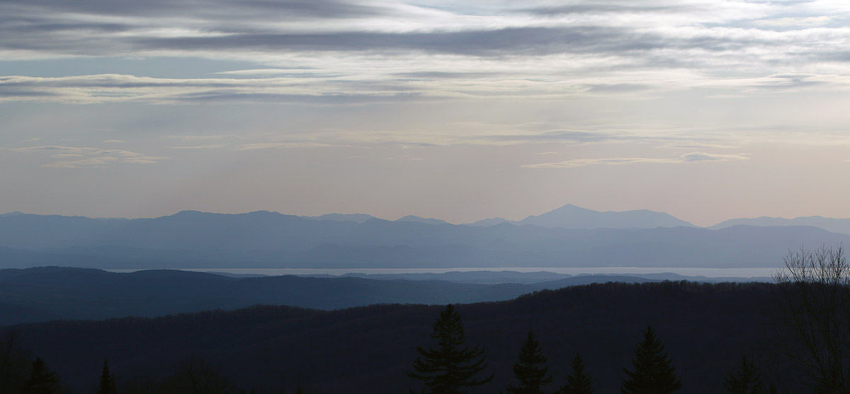
Looking out toward Lake Champlain and the Adirondacks today from the top of the Timberline area

Bolton Valley, VT 29APR2022

An image showing a view westward toward The Champlain Valley, Lake Champlain, and the Adirondack Mountains of New York during a spring ski tour at Bolton Valley Ski Resort in Vermont
An image of the Sherman's Pass trail area near the end of the ski season at Bolton Valley Ski Resort in Vermont
A view of Sherman’s Pass out on my ski tour at Bolton Valley today – snow coverage is still decent with a few breaks here and there.

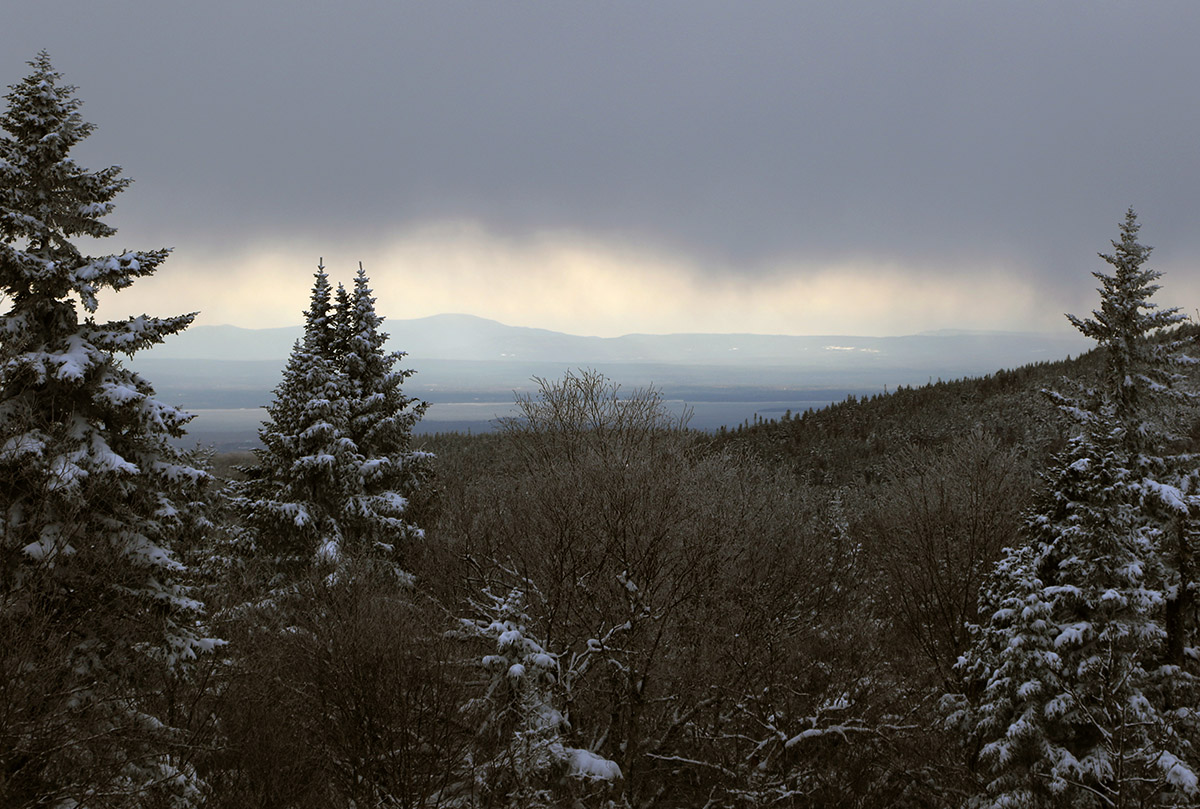
As it’s been for the past few days, it was quite windy today in the Champlain Valley, but with partly cloudy skies providing some sun, and the temperatures getting into the 50s F, it seemed like there might be enough warmth to make the slopes worth a visit.  That thought was tempered somewhat as I headed into the mountains on the way home; the skies became notably cloudier, and the temperatures felt several degrees cooler, even at valley level.  At that point I was definitely questioning if there was sufficient warmth at elevation for softening the snow, but it still felt like it was worth the quick trip up to Bolton for some turns.

On the way up the Bolton Valley Access Road, first signs of old snow snowpack were at ~1,400’, and first signs of the new snow left from our most recent storm appeared in the 1,800’ – 1,900’ elevation range.  I’d contemplated skiing at Timberline if the snowpack was continuous enough, but it’s too broken up down at those elevations to be worth it.

As expected up at the main mountain, there’s still plenty of snow for top-to-bottom turns on the main routes like Beech Seal and SpillwaySherman’s Pass seems close to continuous, but there’s at least a break or two in the snowpack there.  While the quantity of the snow is looking quite good, we’re still going to need some more warmth and temperature cycling to get the snowpack to some quality corn.  Even with Bolton’s western exposure and afternoon sun, a lot of terrain still needs some rounds of softening.  The combination of temperatures, which I guess were somewhere in the 40s F, and the cooling breeze that we’ve had the past few days, just isn’t enough to really soften the snowpack.  Granted, I was out on the mountain in the later afternoon period when the sun angle is getting lower and temperatures are starting to drop off, but it was obvious that only areas in direct sun had seen much cycling of the snow to get to appropriate quality corn, and even those areas still need work.  Heck, most of terrain above 2,000’ that was not in the direct sun, still had snow from our most recent storm earlier this week.  I toured up to about 2,500’, but didn’t push above that elevation that because it was only getting cooler and windier as I ascended, and the quality of the snow just didn’t seem to be worth it.

So while spring snow conditions weren’t quite there today, the recent snows and good preservation we’ve been seeing do bode well as we head into the next several weeks of the season.  Tomorrow’s forecast around here seems sort of similar to today’s, so I wouldn’t expect primo ski conditions, but Sunday is supposed to kick things up a notch with temperatures around 60 F and more sun.  That might be enough to get some of that south-facing terrain into good shape.

Bolton Valley, VT 19APR2022

An image of fresh snow from an April snowstorm in the Timberline area parking lots at Bolton Valley Ski Resort in Vermont
Our most recent April snowstorm brought some solid accumulations even down to the base of Timberline at 1,500′.

I wasn’t able to get out for a ski tour this morning, but I did have enough time to head out to Bolton later in the afternoon and check out what this most recent storm had to offer.  As we know, a great feature of the March through June portion of the ski season is the long lasting daylight, and that makes late afternoon and even evening ski sessions very practical.

It kept snowing right through the day today, but it did warm up enough to melt back the earlier snow a bit, especially the lower one went in elevation.  There was still a solid coating of snow in place even in the late afternoon at the base of the Bolton Valley Access Road, and here’s the storm accumulations profile I found at that point:

340’: T-1”
1,000’: 1-2”
1,500’: 3-4”
2,000’: 7-8”
2,500’: 8-10”
3,000’: 10-12”

This storm was unquestionably another solid resurfacing of the snowpack at elevation.  The mountains must have had at least an inch and a half of liquid equivalent as snow, and combined with the density of that snow, it was enough to resurface slopes of just about any angle, right up to the steepest of the steep.  The density of the snow meant that it covered, and stayed stuck to, just about every slope out there.  It’s easy for snow to be too dense to enable quality turns though, and this storm didn’t just flirt with that line, it flew way past it.  Even the folks out in the west coast ranges that routinely deal with Sierra Cement and Cascade Concrete would have cried after dealing with this stuff.

An image of new snow from an April snowstorm at the base area of Bolton Valley Ski Resort in Vermont
Some of the dense accumulations of new snow at the main base area today

There are times when you’re ski touring, and you can’t quite tell what the quality of the turns is going to be like until you really rip off the skins and start your descent; this was not one of those times.  Right from the start of my tour, I could tell that the skiing was going to be disastrous.  On the lower half of the mountain from say 2,000’ on up to ~2,500’, the snow was super dense, with a bit of melting going on to increase the density just a bit more for good measure.  I held out a little hope that the quality of the snow in the higher elevations would improve, as it often does with lower temperatures producing drier snow that skis better.  “Ha”, not this time.  As I continued to ascend, the snow conditions only got worse.  The snow went from something that was super dense and a bit wet, that you really didn’t sink into much… to an even worse version of that.  As temperatures dipped below freezing on the upper mountain, the top couple of inches of snow has become a solid mass that produced the most horrible, upside-down snowpack you could imagine.  The skiing was challenging, dangerous, disgusting, and everything in between.

An image of snow from an April snowstorm curling off a roof at Bolton Valley Ski Resort in Vermont
Spring snow doing what it does out at the resort today

So the snowfall from this storm was indeed a great resurfacing, and a solid addition to the mountain snowpack, but it would have taken another good half foot or so of drier snow to really get the immediate quality of the ski surfaces up to snuff in the Bolton Valley area.  It was snowing while I was out there today, with some nice steady snow at times, but there was probably only another inch or two of additional snow above the dense stuff, so not enough to really bring up the snow quality to something more respectable.

Every spring snowstorm is different though, and that’s part of the fun of experiencing them, and we’ll just have to see what the next one does.

Bolton Valley, VT 03APR2022

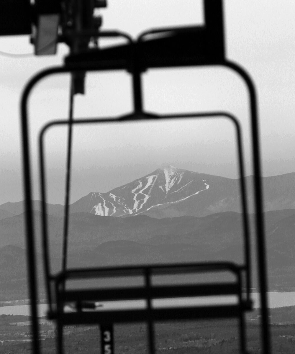
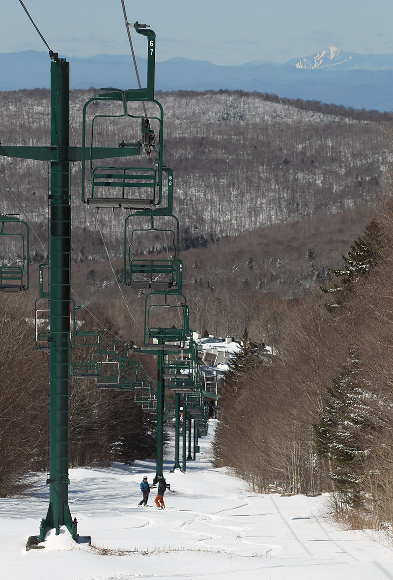
An image showing the trails of Whiteface Mountain in New York viewed from the Wilderness are of Bolton Valley Ski Resort in Vermont
An image of the mid station area for the Wilderness Double Chairlift after an early April snowstorm at Bolton Valley Ski Resort in Vermont
A view of some of the drifted snow at the Wilderness Mid Station while I was out on today’s ski tour at Bolton Valley

After skiing yesterday’s fresh powder out on the hill, I hadn’t really planned to ski today, since the forecast called for gray skies and temperatures heading above the freezing mark.  We were thinking we might have left one of our water bottles up around 2,800’ on Wilderness during yesterday’s ski tour though, so that was incentive enough to get me out for another go.  If in doubt, it’s generally good to get out and get some exercise anyway.

I made my way up to Bolton Valley around midday, and whereas temperatures yesterday were in the upper 20s F when we’d arrived, today they were in the upper 30s F.  Some of the new Friday/Saturday snow had definitely melted back, and that effect decreased with increasing elevation, but the freezing line was still somewhere above the 3,000’ mark.  So, I never encountered any snow yesterday that had been fully preserved below freezing.  With that said, the snow skied really well.  On the upper mountain, the new snow had seen little settling, and untracked areas skied like dense powder vs. any sort of mush.  At all elevations, even where the snow was transitioning due to the above freezing temperatures, it seemed to be doing it in a subtle way.  It wasn’t sticky, just dense, and perhaps that slow change was due to the cold overnight temperatures and the overcast keeping away dramatic warming from direct sunlight.  In thinner areas where the new snow had melted back, the skiing typically transitioned right to the underlying corn snow, and that skied really well.  It was sort of strange to move from areas of dense powder skiing, right to spring corn snow, but somehow it worked.

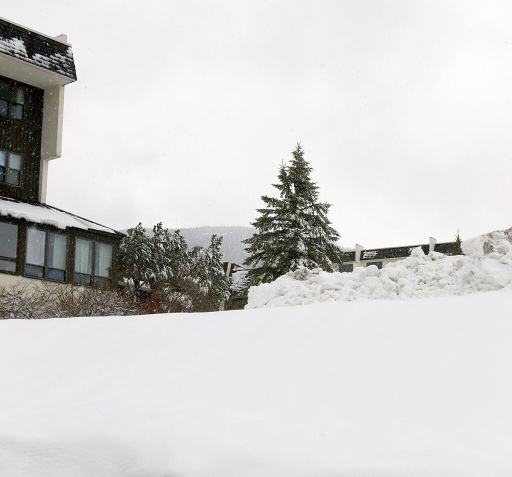
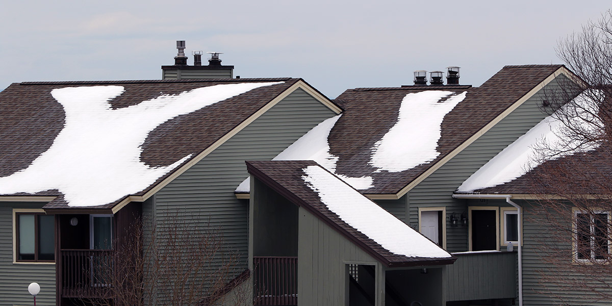
An image of a roof with snow in the Bolton Valley Village after and early April snowstorm hit Bolton Valley Ski Resort in Vermont
A scene from the Bolton Valley Village showing some of the recent snow while I was up at the resort today.

In any event, the water bottle ended up being right where we thought it was, so that part of the tour was quite successful!  I of course used the opportunity of being up at the resort to grab another Spicy Tuna onigiri from the Miso Toh Kome stand, and I brought some onigiri home for the boys as well.

Bolton Valley, VT 02APR2022

An image of Erica and Ty on the Wilderness Lift line after a spring snowstorm at Bolton Valley Ski Resort in Vermont
An image of Ty Telemark skiing in some powder on the Wilderness Lift Line area at Bolton Valley Ski Resort in Vermont
Ty was out with us for some Telemark skiing today, and reported that he was making some of his best Tele turns that he could recall!

With the snow from this latest storm, E and I headed up to Bolton for a session today with Ty, who’s back from school on spring break.  We got to the mountain reasonably early, with some concern about how the powder was going to hold up as the day warmed, but even as of midday that wasn’t a concern at elevation.  It was probably in the 20s F when we arrived, and combined with the breeze, it was chilly.  It was excellent touring weather, and the powder stayed cold and dry.  Even at midday, the higher elevation snow was dry, although snow in the mid to lower elevations in directly sunlight was starting to be affected by the sun.

An image of Ty out on a ski tour after an April snowstorm at Bolton Valley Ski Resort in VermontThe mountain was reporting 4 inches of new snow, but I’d say that was a fairly conservative report – I was finding 5-6” new at the 2,000’ elevation, and as much as 8” up above 3,000’.  We started our session with a tour at Wilderness up to ~2,800’ or so.  Wilderness is 100% natural snow, so the decent amount of base in many spots was impressive, but the usual windswept or sunny spots were lean on coverage.  Those areas of lean coverage were fine for grassy and/or low angle slopes, but you wouldn’t have wanted to tackle anything steep that didn’t have existing base.

I’d say the very best snow we encountered yesterday was on Alta Vista – the ridgeline and skier’s right of the headwall were windswept as usual, but the protected left side of the headwall held some nice, semi-packed snow.  Below that though was the real gold mine.  They had groomed the skier’s left of the trail, but the skier’s right held about 8 inches of chowder that was mostly bottomless, and we couldn’t believe how good the skiing was there.  We were wishing they hadn’t groomed anywhere if it could have meant the snow would have been like that.  The Vista Quad was on wind hold until about midday though, so we were up on Alta Vista not too long after the lift started running, and I think that helped set up the incredible snow quality there.

An image of ski tracks in fresh snow from an early April snowstorm at Bolton Valley Ski Resort in Vermont
We found some great areas of midwinter snow out the mountain today in areas of the main mountain where good base was still in place.

It was great to catch a day of skiing with Ty while he was back.  Although he’s got plenty of breaks between Thanksgiving, the long holiday break, sinter break, and spring break, you still never know when schedules and good snow might line up.  Ty said today was probably his best Telemark day ever in terms of comfort level and confidence with his turns, so that was exciting to hear.  He’s still learning and improving, even at this age.  He also finally got to visit the Miso Toh Kome stand for the first time, and he’s a total sushi fiend, so he loved it.  I’ve been sending him pictures every time I’ve gotten food from there over the past few weeks to build it up… and maybe give him a bit of a hard time about missing out as well!

Bolton Valley, VT 22APR2021

An image showing ski tracks in powder snow after a late April storm at Bolton Valley Ski Resort in Vermont
An image of snow accumulations from a late April snowstorm in the Village area at Bolton Valley Ski Resort in Vermont
Our latest April storm brought 8 to 10 inches of snow to the Bolton Valley Village, with as much as a foot of snow higher on the mountain.

Since daylight lingers so long into the evening now, I stopped off at Bolton on the way home from work today for a ski tour.  I hadn’t had the time to get out yesterday, but it kept snowing much of the day today as well, so this gave me the chance to see how all the snow had accumulated from this most recent April storm.  Valley temperatures had edged a bit above freezing in the afternoon, but on the mountain the temperatures were down in the 20s F.

Accumulations from this storm went right down to the lowest valleys, and even the broad, low valleys down near sea level like the Champlain Valley had accumulations that stuck around.  At the base of the Bolton Valley Access Road at ~340’ there were a couple inches of accumulation, and naturally, the depths just went up from there.  The wind had kicked up by this afternoon on the back side of the system, and that really pushed the snow around a lot, but using the typical calmer, unaffected spots, here’s the accumulations profile I observed during today’s outing:

340’: 2”
500’: 2-3”
1,000’: 3-4”
1,500’: 5-6”
2,000’: 8-10”
2,500’: 10-12”
3,000’: ~12”

“So, while not the 2”+ of liquid that some areas saw in the last storm, this snow offered plenty of substance for solid turns on most terrain, and it was easily bottomless on moderate-angle pitches.”

The snow from this storm was certainly not as dense as what last week’s storm delivered, but the initial accumulations were substantial enough to set up a good base, and then in typical Northern Greens style, the upslope came in after to boost the depth and polish things off.  Overall, the snow put down by this storm cycle was right side up, just as PF noted in his post at the American Weather Forum.  We picked up roughly ¾” of liquid equivalent at our site, and I’d say they’d had at least 1” of liquid in the snow on the mountain.  So, while not the 2”+ of liquid that some areas saw in the last storm, this snow offered plenty of substance for solid turns on most terrain, and it was easily bottomless on moderate-angle pitches.  There was also still some snow left from the previous storm in spots, so that bolstered up the base a bit more.

An image of low clouds and whisps of falling snow looking west toward the Champlain Valley during a late-April snowstorm at Bolton Valley Ski Resort in Vermont
The low cloud deck and wisps of falling snow from an incoming burst of precipitation were visible as I looked back westward toward the Champlain Valley.

Anyway, turns were great with the right-side-up deposition, with midwinter consistency all the way down to the Village areas at ~2,000’ this afternoon.  I didn’t tour down to 1,500’, but even there at the base of Timberline the snow was still powder as of early evening.

Pico, VT 17APR2021

An image of Jay Telemark skiing in 18 inches of new snow that fell from an April snowstorm at Pico Mountain Ski Resort in Vermont
An image showing snow from an April snowstorm at the base of Pico Mountain Ski Resort in Vermont
The snow accumulations we encountered today at the base of Pico Mountain as we began our ski tour

Since the snow totals from our latest storm were a bit higher to the south of our area, E and I decided to mix things up a little and head down to Pico for some turns today. The accumulating snow levels for this storm in our part of the Winooski Valley were generally around 1,000’ or so, and you could tell that the snow line was a bit lower as you headed south.  The lowest elevations of the White River Valley were still generally devoid of snow though.
Pico certainly got a nice shot of snow from this system.  With temperatures above freezing at around 2,000’ in the base area, it wasn’t surprising that we were seeing a bit of melting and consolidation there.  In general, settled new snow depths we found around the base this morning were in the 9-12” range.  There were about 40 to 50 cars in the main parking lot this morning, and some were from people who were staying in the lodging areas there at the base, but many were also from folks who were there for some skiing.

An image of skiers skinning up the Pike trail after an April snowstorm at Pico Mountain Ski Resort in Vermont
Heading up on the ascent – it was quickly apparent that a LOT of new snow had fallen, especially higher on the mountain.

During our ascent we found that the new snow depth increased quite quickly on the bottom half of the mountain, and at times it felt like every 100’ of vertical we’d climb we’d find another inch of depth.  It wasn’t quite that quick, but by the time we’d hit the 3,000’ elevation range the depth was in the 15-17” range.  The snow depth didn’t increase nearly as quickly on the upper half of the mountain, and it topped out around 18” up around 4,000’.  Here’s the rough snow depth profile with respect to elevation:

2,000’:  9-12”
3,000’:  15-17”
4,000’:  18”

An image of Erica Telemark skiing in snow from an April snowstorm at Pico Mountain Ski Resort in Vermont
E on the descent today enjoying Telemark turns in some of that April snow

As the elevation profile data suggest, you’re essentially looking at a foot and a half of new snow on the upper half of the mountain – and it is certainly not fluff.  There’s got to be at least two inches of liquid equivalent in that new snow, so there’s been a full resurfacing up there (or in places that didn’t have existing snowpack, a full recovering).

Up on the mountain it also snowed during the entire time we were out on our tour from mid-morning onward.  The snowfall was generally light in intensity, but increased with elevation and was borderline moderate at times up near the 4,000’ level.  You could see that the new snow, and/or other recent snow from the later part of the storm was helping to take a bit of the density out of the topmost layer of snow up high.  The best turns were unquestionably up in the 3,500’ to 4,000’ elevation range, where you had a few inches of drier snow atop the rest of what the storm left.  I’d say that may have been where the freezing line was located at that point, so you had dense, but dry powder for the top few to several inches.  Below that, there was an increasing density gradient, but it went pretty quickly to snow that was 10%+ H2O in the vein of typical winter-style Sierra Cement/Cascade Concrete.  It was still quite skiable though, and you’d certainly sink in several inches, so it wasn’t that super dense stuff that has your just riding on the surface.
An imager of Jay Telemark skiing in some deep powder after an April snowstorm at Pico Mountain Ski Resort in Vermont
Although it certainly wasn’t midwinter champagne powder, the upper mountain held some light snow atop the snowpack, and in general you could get right down into the snow for some very enjoyable turns.

All told though, since there’s a foot and a half of that snow, you’ve got a bomber subsurface in place.  We spoke with a guy who told us that the 49er and Pike were the routes with the best snowmaking base before this storm, so they were good options in terms of coverage, but it really didn’t matter.  With 2+ inches of liquid equivalent in place, you could pretty much ski anything you wanted.  There were water bars to watch out for the lower you went, but even all the way back down to the base elevations, you could ski just about anything, whether it had existing base or not.  The challenging part was handling the denser/wetter snow down low, and fat skis or a snowboard were unquestionably your tool of choice.  Width was the best bet in general for the most fun riding, but especially down low where temperatures were above freezing and the snow was getting a bit wetter.

An image of Erica skiing some powder on the lower mountain after an April snowstorm at Pico Mountain Ski Resort in Vermont
The snow was wetter on the lower half of the mountain, and a little more challenging to ski than the drier snow up high, but the turns ended up being quite enjoyable throughout today’s tour.

For the best quality turns today, laps on the upper half of the mountain would have been a good bet if you had the time, but experienced skiers and riders would be able to handle the lower mountain conditions.  We skied the bottom half of the mountain with a couple of older guys on fat Telemark gear like us, and it was well past manageable; the turns were definitely fun even in that wetter snow.

As I mentioned, it was snowing most of the time above the base elevations, and to further reduce the visibility we were often well up in the clouds on the upper mountain.  This of course made the ski photography a fun challenge up high, but I’d say we still got some nice images to document the experience.