Fourth round of early season Vermont snows brings accumulations to the Green Mountain valleys

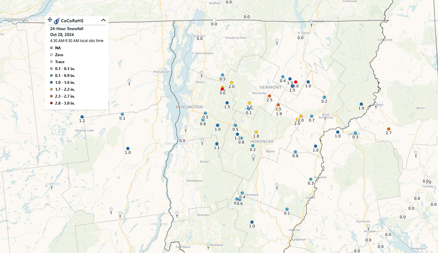
An image showing a CoCoRaHS weather observations map with snow accumulations in Northern Vermont from an October snowstorm
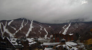
An image showing residual accumulations of snow on Mount Mansfield on one of the webcams at Stowe Mountain Ski Resort in Northern Vermont after an October snowstorm
Residual accumulations visible on the Stowe Mountain Resort webcam thanks to our most recent round of early season snows

The first flakes of the season at our site in Waterbury were back on the 16th of the month with that last big snow event, but thanks to the system moving through yesterday into today, we accrued the first accumulations I’ve seen here. Temperatures were certainly above freezing here in the valley, but the intensity of the precipitation is what brought on the accumulation when one of the more active cells on the radar came through our area.
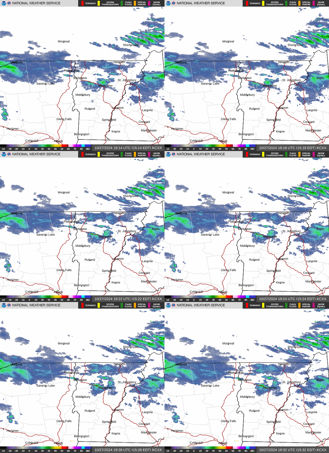
A radar animation image showing a cell of precipitation bringing the first accumulating snows to the Waterbury area of Vermont
Accumulations finally started to take hold down at our elevation of 500 feet in the Winooski Valley in Waterbury when one of the more potent cells of precipitation crossed the spine of the Green Mountains in our area.

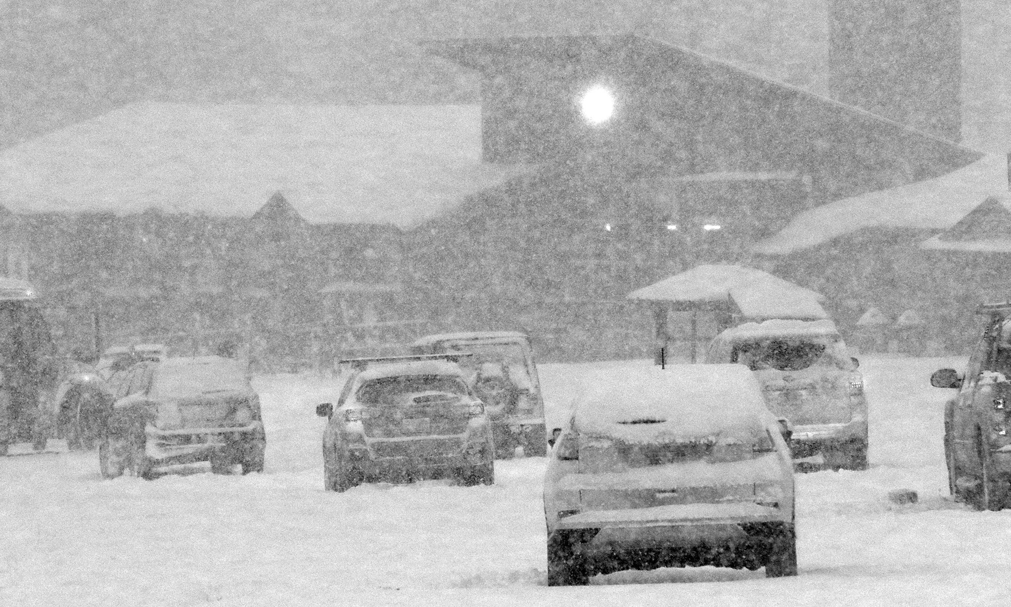
Based on posts that were showing up in the Northern New England thread at the American Weather Forum yesterday, it was clear that many valley locations were starting to see accumulations as the temperatures came down. Temperatures dropped well into the 20s F overnight, so by morning, CoCoRaHS reports revealed valley accumulations of anything from a trace to as much as a few inches in a stripe across Northern Vermont.
An image showing a CoCoRaHS weather observations map with snow accumulations in Northern Vermont from an October snowstorm
As our latest fall snowstorm moved through the area yesterday and into the night, many sites in a stripe across Northern Vermont reported accumulations to CoCoRaHS this morning.