Stowe, VT 06MAY2011

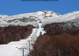
Picture of the gondola slopes of Mt. Mansfield
The fresh snow on Mansfield's slopes in the morning

I headed up to Mt. Mansfield this morning to get in a workout and take advantage of the fresh snow that had fallen since Wednesday.  Once I got out of the fog that had settled around our house in the Winooski Valley, there were fantastic views of the fresh snow on the Green Mountains, and Mt. Mansfield’s alpine terrain was especially scenic.  I started my skin up the gondola side of Mansfield at around 7:00 A.M., and found the following new snow accumulations with respect to elevation:

1,600′:  ~1/4″
2,000′:  1-2″
2,500′:  ~4″
3,000′:  ~6″
3,600′: ~10″
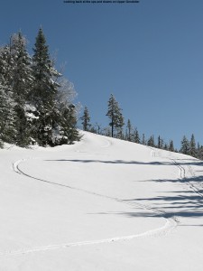
A picture of ski tracks on Upper Gondolier at Stowe
Cutting some arcs into the new snow on Upper Gondolier

It was a little tough to get the depths on what had fallen because the new snow was so well integrated onto the old base, but those were my best estimates and I’d say they’re pretty decent.  In terms of the skiing, the new snow was certainly more akin to dense Sierra Cement than Northern Vermont’s famous Champlain Powder™ fluff, but the turns were really nice; the dense snow did a great job of keeping one up off the old base.  For the full details, links, and all the photographs from the day, click through to the full trip report from Stowe on May 6th, 2011.
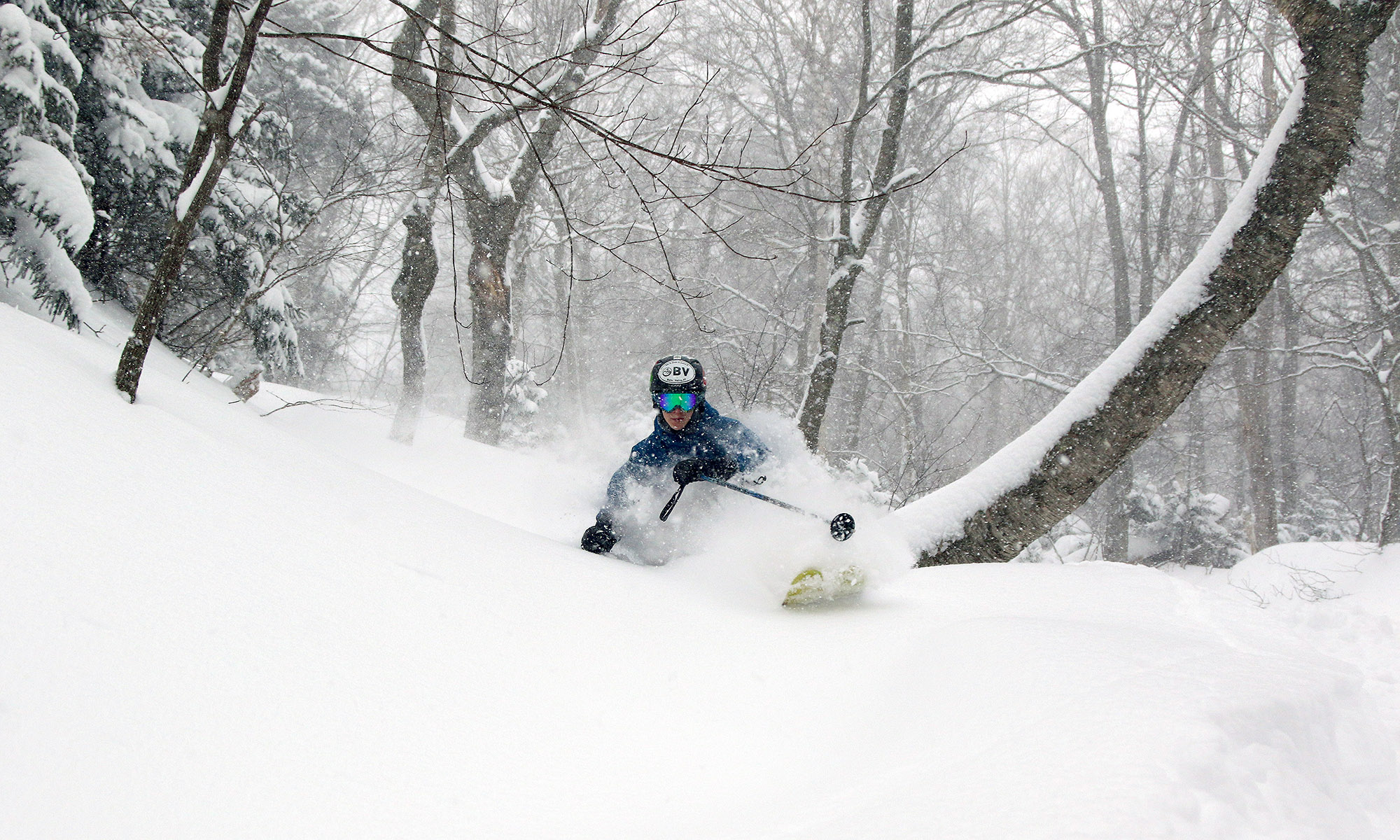
Snow line around 1,500′ this morning

It was ~41 F at the house this morning, so I suspected that the snow level was still a bit high for new powder in the easily accessible elevations, but I checked in at Bolton on the way in to Burlington this morning to get a handle on where things were at in terms of base and new snow.  I could tell that it wasn’t yet a huge hit below 2,500’ yet because the cars coming down the road didn’t have snow on them, but the precipitation certainly looked like snow up high.  Here’s the vertical temperature profile I observed on the Bolton Valley access road around 7:00 A.M. with comments on the precipitation/accumulation; hopefully it will be useful for other mountain recreationalists:

340’:  41F (light rain)
950’:  40F (light/moderate rain)
1,100’:  39F (moderate rain)
1,500’:  38F (moderate rain/snow)
1,800’:  37F (moderate snow)
2,000’:  36F (moderate snow)
2,100’:  35F (moderate snow, accumulating)

As you can see from the above list, snow wasn’t accumulating until I reached the village at 2,100’, but it seemed to be accumulating on most surfaces other than the pavement, and there was probably ¼ inch down when I was there.  Skier’s left of Beech Seal showed a couple of breaks in coverage, as I suspected it would based on my Sunday observations, but it was still pretty close to continuous.

Even back down in the valley, there were some bouts of moderate precipitation, so hopefully that continues to hit the mountains.  Roger Hill was thinking that the snow level would rise a bit during the day today, so that may have to be factored in as well.

Bolton Valley, VT 01MAY2011

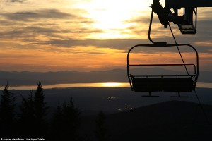
Image of Lake Champlain and the Adirondacks from Bolton Valley's Vista Summit
Looking westward near sunset from the Vista Summit

It was a busy weekend culminating with Ty’s first communion and the ensuing party today, but once things had wound down by the afternoon, I had a chance to head up to the mountain and make some turns.  There was fresh snow on April 23rd, but the snowpack has certainly crept upward in elevation since April 17th, which was the last sunny day I was out on the mountain.  At that point the first signs of natural snow appeared at around 900’, but today the natural snow didn’t appear until roughly 1,750’.  Timberline had just a couple patches of snow remaining, but up at the main base the snowpack was quite substantial.  There is continuous snow coverage on Sherman’s Pass to Beech Seal, and possibly other routes as well, and I caught a sunset run through the corn to finish off the amazing sunny weekend that we were given.  For more details and pictures, click through to my Bolton Valley trip report from May 1st, 2011.

Heavy rainfall and more high water today

I haven’t seen any snow with this system, but last night’s precipitation seems worthy of note because we had 2.30 inches of liquid and the Winooski is back up even with our local VAST bridge as it was on the 11th, despite the fact that most of the snow has already melted in the lower elevations.  Some area schools are closed due to road access issues with this event.  I just summed my CoCoRaHS numbers for April and with this latest event the total liquid is right at 8.00 inches for the month thus far.  While I had that open I grabbed a few additional liquid numbers.  For the 2011 calendar year up to this point at my reporting location the liquid precipitation is at 20.46 inches, for the 2010 calendar year the total was 54.17 inches, and for the ’10-’11 snowfall season as it currently stands (October 15th, 2010 – April 16th, 2011), the total was 28.09 inches.

The snow in the yard has melted

The last of the snow in the yard melted today, so I can finish off that portion of my seasonal snowfall numbers.  The data for the last of the snow melting out in the yard (as of this season the mean date is April 15th ± 10 days) is actually something I’ve recorded all the way back since our first winter here (2006-2007) and April 24th is one day later than the previous record I had down (April 23rd, 2007).  This puts the continuous snowpack season in the yard at 141 days, which is exactly the same number recorded for ’06-’07.  Both of those seasons had slow starts with poor November snowfall, and snowpack that did not become established until early December, so they are well behind the highest value of 152 days recorded for the 2007-2008 season.  The next benchmark I’ll monitor will be when the last of the snow melts out in our neighborhood, which tends to be about a week beyond when the snow melts out at the house.

As I was skiing at Bolton yesterday I was reminded of some outings in April ’07, and realized that while the snowpack is in excellent shape this spring, the skiing this month has really paled in comparison to the equivalent period back in ’07.  Even down at this elevation we had almost two feet of snowfall in April ’07, and this season we’ve had just 4.4 inches.  I’m not sure what the mountains have had this April, but in ’07 it was measured in feet; I skied one day mid month on the mountain where I found up to 19 inches of new snow, and that was for just one of the storms.  The reading from the Mansfield stake on Friday was certainly respectable at 82 inches, but for the same date in ’07 it was actually at 84 inches.  It’s really been just an issue of the storm track this April; the moisture has been there, but the track has been too far to the north/west to get into the appropriate combination of precipitation and temperature.  With a good track over the past few weeks we probably would have had another April 2007 on our hands.  I think that the past couple of springs have been so poor in the snowfall department that some perspective has been lost on April’s potential, this one is good in terms of base/snowpack, but I’d say subpar for snowfall (we’re still below average by a few inches at the house).

Bolton Valley, VT 23APR2011

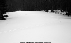
Picture of ski tracks in the powder on Lower Turnpike
Cutting some big arcs across the lower part of Turnpike

While the weather was full-blown spring with sunshine and corn snow yesterday at Sugarbush, today it was back to winter with a bit of fresh powder in the mountains.  I headed up to Bolton for some turns and found snow that was dense enough to keep me from touching down to the old subsurface much of the time.  The base snow provided wall to wall coverage, so with the powder on top it was a great ride.  For all the details and pictures, go to my April 23rd trip report from Bolton Valley.

Sugarbush, VT 22APR2011

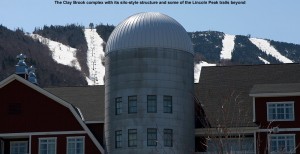
Picture of Sugarbush's Clay Brook complex and trails
A view of the Clay Brook silo-style structure with some of the Lincoln Peak trails in the background

The forecast called for sun and spring temperatures today, and Mother Nature delivered just that, so I headed to Sugarbush with the boys for some spring turns.  It was our first day of skiing away from Stowe and Bolton this season, and thus our first day actually buying real lift tickets.  Fortunately, spring ticket specials are in effect throughout the area, making things more affordable; Sugarbush has a two for one offer on their already reduced spring rate if you bring your season’s pass from another ski area, so the boys and I skied for $59 total, which was pretty economical.  It was an excellent afternoon on the slopes with the boys, with lots of snow and sun, and then we stopped in at Timbers for some après ski snacks.  For the full details and pictures, click through to my April 22nd Sugarbush report.

Stowe, VT 19APR2011

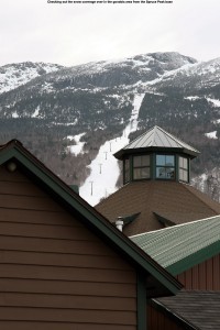
Image of Stowe's Gondolier trail from the Spruce Peak base
Looking up at Gondolier from the Spruce Peak base area

Ali and Wini were heading to The Shed for dinner today, and since I had the time and E and the boys were out of town, it was the perfect chance to get in an evening of skiing and dinner in Stowe.  I stopped off first at Spruce Peak where the coverage is still excellent; that’s a really good gauge of just how much snow is out there because the bottom of Spruce Peak is both low elevation AND south facing – it’s hard to find a tougher challenge to the snow than that.  The skiing was great, with a couple of inches of beautifully smooth corn that had softened during the day and had partially recrystallized into airy goodness.  Dinner with Wini and Ali was great; definitely one of those classic Vermont spring evenings, and with the current snowpack it looks like there can be many more!  For all the details and images, go to my trip report from today.

Bolton Valley, VT 17APR2011

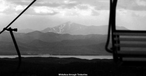
Image of Whiteface from Bolton
Looking between the chairs of the Timberline Lift to take in the view of Whiteface across Lake Champlain

Unlike yesterday, where temperatures stayed rather wintry and didn’t give the snow a chance to warm up, today the temperatures were warmer and the sun was starting to break out in the afternoon, so I headed up to Bolton for some turns.  The snow coverage is still great all the way down to the Timberline elevations, so I made turns there and found some excellent spring corn.  The full details and all the pictures can be found in my Bolton Valley trip report from today.  There is a lot of skiing to be done in the coming weeks, so get out and enjoy that great snowpack!

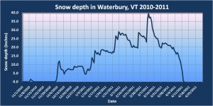
Snowpack has reached zero at the back yard stake

Waterbury, Vermont 2010-2011 snowpack plot
The snow depth went to zero today at our back yard stake in Waterbury. (Click on the image for the full size plot)

As of this morning, the depth of snow at our back yard stake has reached zero, so I’ve updated my Waterbury snowpack plot and included it in this post.  This means that the last day with snow at the stake was 4/12, and the average I have for that value is 3/27 ± 14 days, so this season is a couple of weeks later than that average.  The next benchmark I’ll monitor will be when the final snow in the yard is gone, and based on data I have from ’07-’10, that average date is 4/12 ± 10 days, so roughly a couple of weeks later than when the snow has melted out at the stake.  As of today, the yard snowpack has been around for 130 days, but that is actually still below average (138 ± 14 days) because of the late start to the season; the start of continuous snowpack this season was on the later side at 12/5 vs. an average of 11/27 ± 9 days.  Unless the rest of the snow in the yard melts unusually fast however, the end result of the snowpack season will probably be somewhere around that average value.

I’d say that winter temperatures were more consistent than usual this season, so it’s a little easier to see the steady climb in snowpack from a value of 0″ on 12/4 through the value of 39.5″ on 3/8.  The average rate of increase during the period was 0.42″/day.  This was a decent snowpack season, with snow depth days from my stake coming in at 2,227 depth-days vs. the average of 1,812 ± 741 depth-days.  However, the combination of the rather late start and long stagnation through mid January (visible on the plot) while the storms were going south, meant that it certainly wasn’t up where the ’07-’08 season was at over 2,500 depth-days.