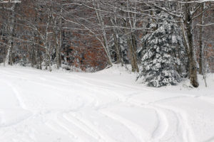
You can put away the rock skis for this storm. Indeed the Northeastern U.S. has been under the influence of a double-barrel low pressure system that the weather models have been showing for more than a week, and it’s finally delivered a healthy shot of snow to the Green Mountains. With one low pressure system traveling through the eastern Great Lakes, and another up the New England coast, there was some warm air involved in this event, but the precipitation in the mountains has generally been frozen, and it’s been plentiful.
“There’s definitely a nice density gradient to give you those easy powder turns with ample protection below.”
Most of the mountain valleys even picked up some snow, but when the snow began yesterday afternoon, the eastern slopes seemed to be the areas getting the most precipitation and notable accumulations even in the valley bottoms. I was hoping to head up to Bolton Valley for some turns today, but the lower accumulations in the valleys of the western slopes had me wondering how the resort had done with respect to snowfall. They don’t have their webcam in operation yet, and they’re not making immediate snow reports, so I quickly popped up to the mountain this morning to assess the potential for turns.
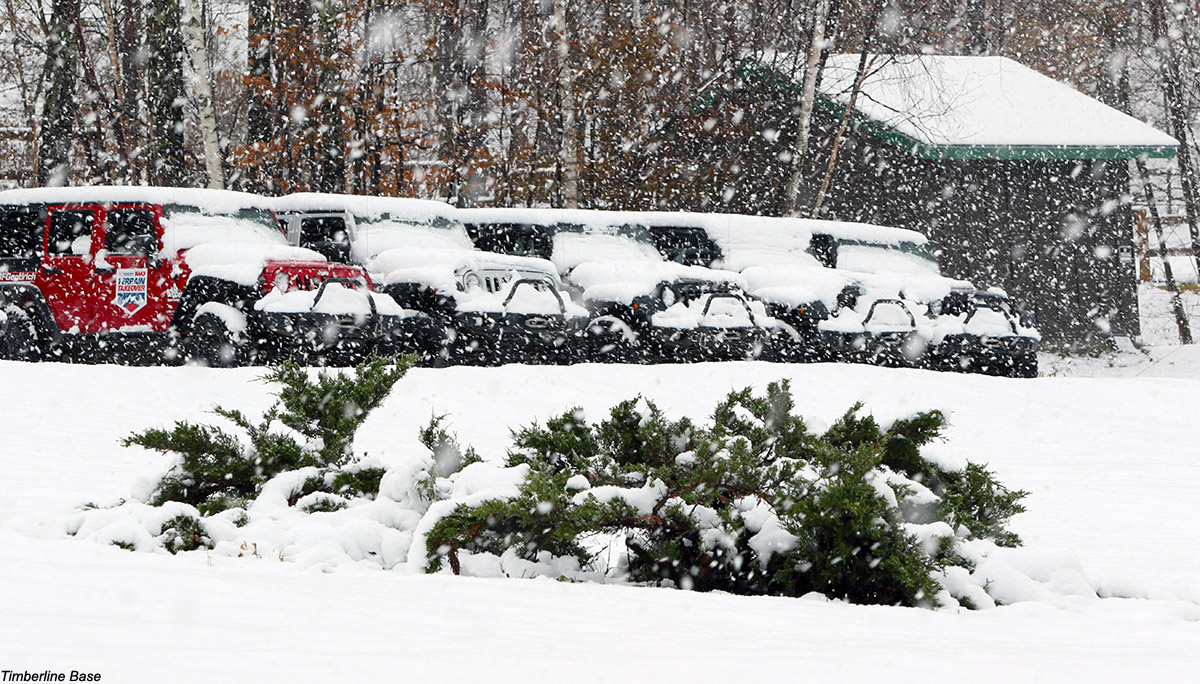
Signs of leftover snow like we had at our house disappeared as I dropped down into Bolton Flats, and at the base of the Bolton Valley Access Road (340’) there was no accumulation. There weren’t even any signs of white until I hit 1,000’. So I’d say that indeed, accumulating snow levels were definitely lower in elevation on the eastern slopes – snow at 1,000’ in the Bolton Valley area was about equivalent to 500’ at our house slightly east of the spine. The snow depths did eventually did go up dramatically with elevation however. I found 3 to 4 inches at the Timberline Base (1,500’) and up in the Bolton Valley Village (2,000’) there were 6 to 8 inches on the ground with heavy snowfall adding to that by the minute. The resort was clearly all set in terms of snow, so I hoped to head back up in the afternoon for a tour when I had sufficient time.
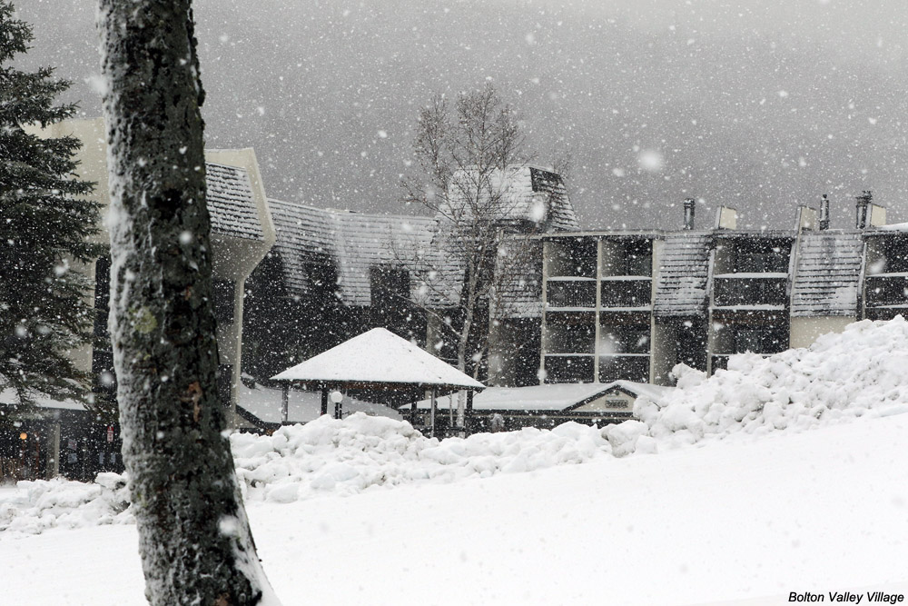
After visiting the ski swap in Waitsfield in the early afternoon, I was able to head back up to Bolton Valley in the midafternoon period to get in that ski tour. The accumulations I’d see in the Village in the morning just continue to increase as I skinned up toward the summits, and all told I found the following accumulation profile with respect to elevation:
340’: 0”
1,000’: Trace
1,200’: 1”
1,500’: 3-4”
2,000’: 6-8”
2,100’: 8-9”
2,500’: 10-12”
3,000’: 12-14”
I did get readings as high as 16” on the upper mountain, and one drifted spot with 20”, but I’d say 12-14” is a decent measure of the top end I found for depth. It seemed like there was some old snowpack up high, but I don’t think it interfered with measurements of the new snow because it should have been pretty solid by now.

Even base temperatures had dropped into the 20s F when I was up there in the midafternoon, and my thermometer was showing 19 F when I was up at the Vista Summit, so the snow wasn’t wet at all. Below ~2,500’ there was a thick layer in the snowpack that was only an issue in wind scoured areas. I’m not sure when that developed (maybe during the warmest part of the storm), but today’s additional snow sort of mitigated that, at least with the 115 mm skis I was on. Above 2,500’ it didn’t seem like that layer was even present, and turns were fantastic in midwinter snow. There’s definitely a nice density gradient to give you those easy powder turns with ample protection below. With tonight’s temperatures, the only enemy of the powder would be wind, so the good snow should be there a while for those who want get after it.


One Reply to “Bolton Valley, VT 10NOV2018”
Comments are closed.