The weather models have been showing a potentially substantial east coast snowstorm system for probably a week. For much of the time, it looked like more of a Mid-Atlantic event, and I hadn’t really been paying any attention to it, but then Phin stopped in the Northern New England Winter Thread at American Weather Forums and gave us a heads up that we shouldn’t be sleeping on this storm, even up in the north. Ultimately, Winter Storm Gail did have its greatest impacts north of the Mid-Atlantic Region, with parts of Upstate New York and central New England getting in on an incredible band of snow. There were numerous reports across that band of storm totals exceeding 40 inches, and reports of as much as four feet of snow in parts of New Hampshire.
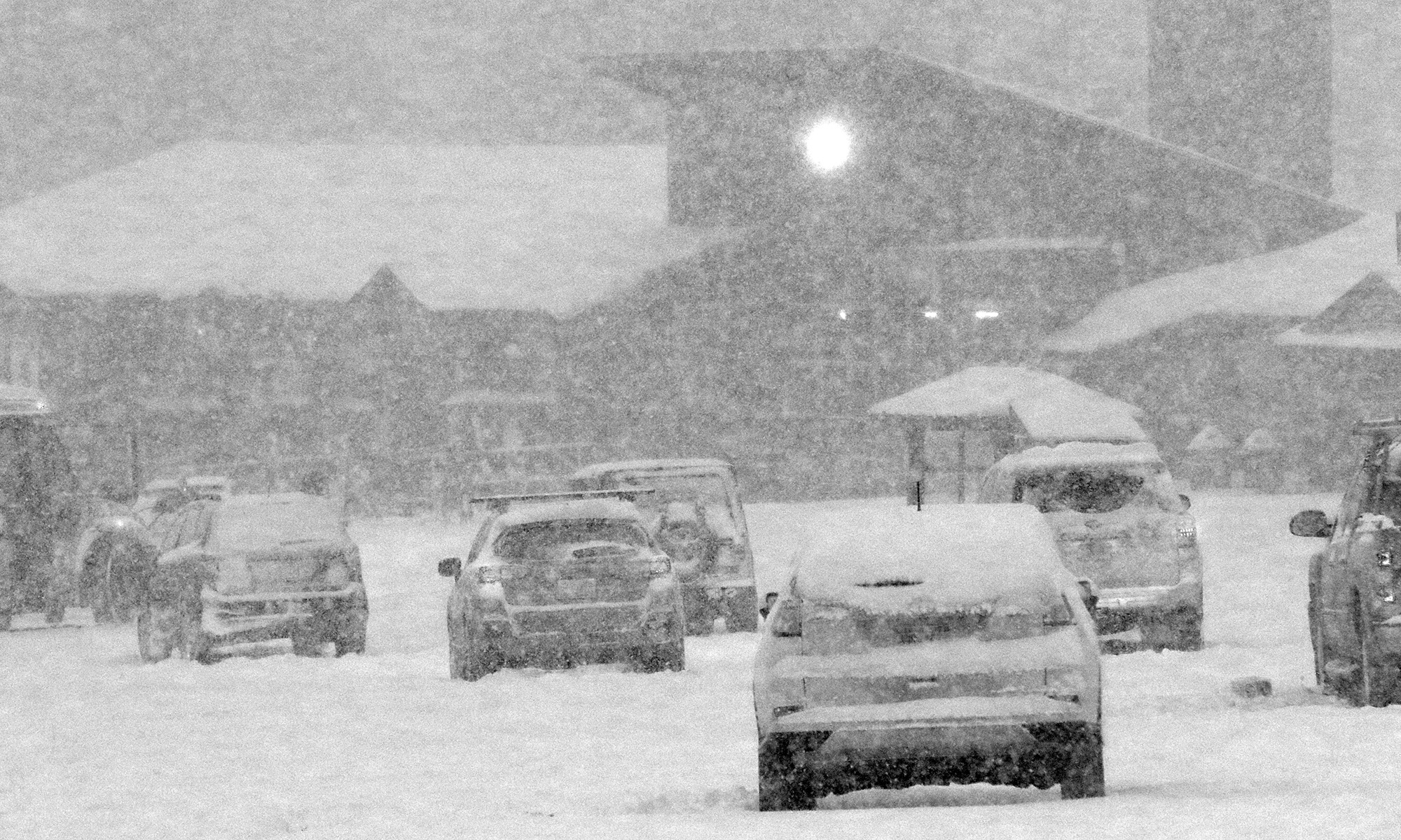
Up here in Northern Vermont, I hadn’t been expecting to ski this storm at all, but as the models revealed a more northward trend in guidance, it looked like we were going to get something out of it. Indeed, by midday I’d recorded over four inches of snow, and nearly half an inch of liquid equivalent from it. Snowfall with a half inch of liquid definitely has enough substance to get some floatation above the base, so I figured it was worth a quick tour to see how conditions were faring up at Bolton. They’ve got the extra elevation to potentially enhance the snowfall even more, but they’re also a few miles farther to the northwest of our site, and the farther north and west one went with this system the more the accumulations quickly drop off. Once up at the mountain, accumulations I found at 2,000’ in the Village were 4-5”, so roughly the same as what we picked up here at the house.
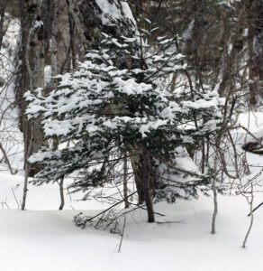
That was more than enough to make the powder skiing quite nice on low angle terrain though – on my 115 mm fat skis the turns were smooth and bottomless with the snow that had just fallen. We still haven’t had a big, 1”+ liquid equivalent storm affect the Northern Greens yet this season, so base snow is still pretty meager. There were a few inches of base snow left at 2,000’, with some variability and patchiness, but it’s still probably too inconsistent for steeper pitches or areas down around 1,500’. We’ve got a couple smaller round of snow in the forecast over the next couple of days though, so those should help bolster that overall snow in the higher elevations. Temperatures are expected to be single digits and even below zero F in the coming days, so snowmaking should be taking off as well to enhance the manmade base in areas of the resort.

