I had time to head up to Bolton Valley for another ski tour this morning, and the weather was very much like what we’d had in the mountains for the past few days: temperatures in the single digits F with a lot of wind. Thankfully, yesterday appeared to be the coldest of the days this week, and the temperatures this morning were about 5 to 10 degrees F warmer.
Yesterday I’d done a bit of lift-served skiing after my tour, but today I decided to make my tour a bit longer instead of sitting on the lifts. On my ascent I topped out around 2,900’ on Wilderness, and I figured I’d gone high enough to get a good sampling of the snow at various elevations.
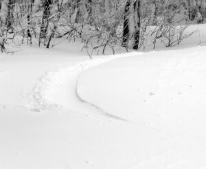
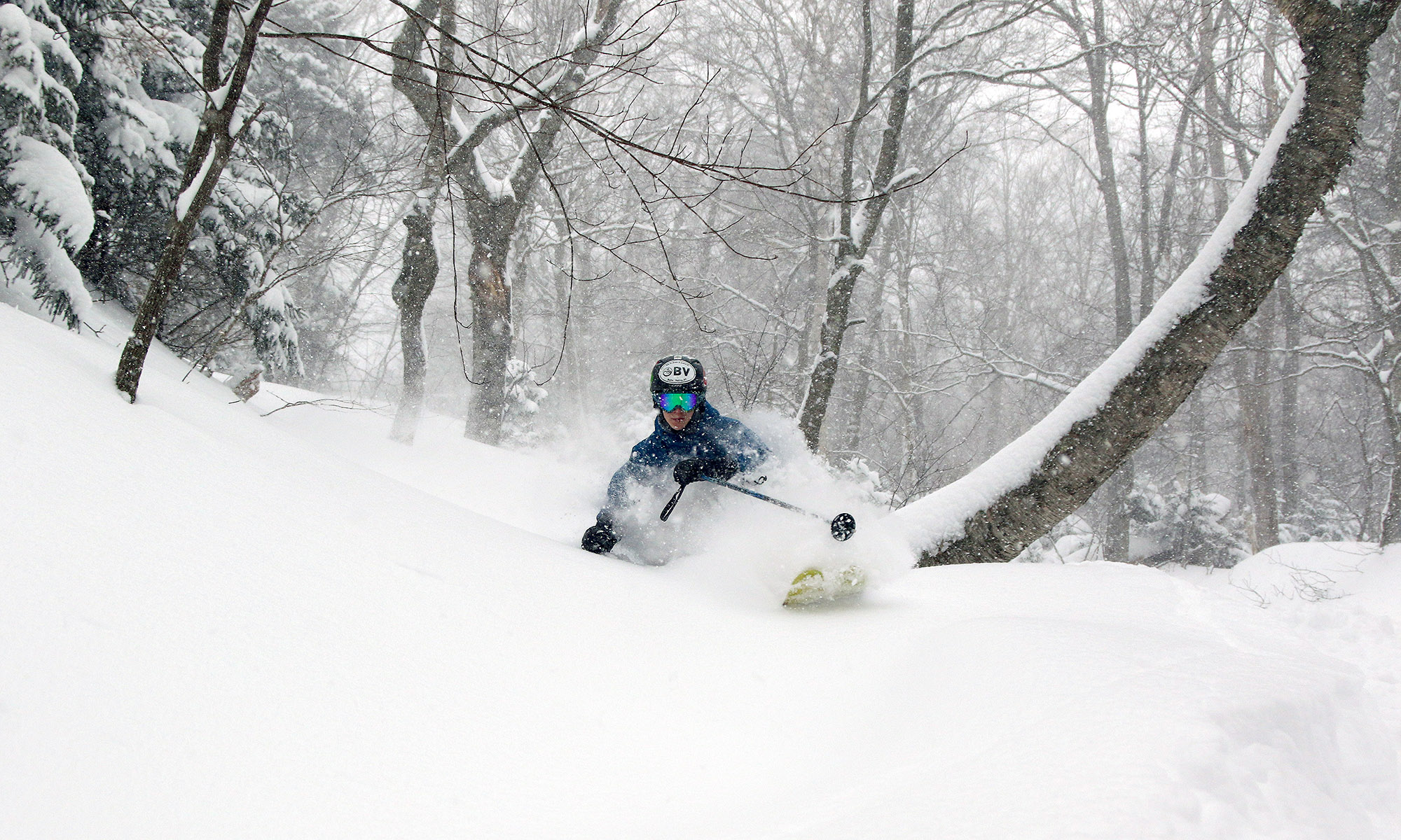
 With a few more inches of snow each day, the conditions on the slopes have just continued to improve aside from those areas exposed to the wind where scouring has been incessant. Exposed areas just continued to be scoured, and I wouldn’t be surprised if some of those exposed spots had less snow than they did before this system began. Protected areas had simply fantastic snow though. Like yesterday, I typically measured 20 inches or more of powder in protected areas today, and the subsurface snow is a distant memory there. I also measured depths as great as 35 inches in some non-drifted spots, where it seemed like I was just pushing down into the older layers in the snowpack without even hitting any firm layer to differentiate the snows from these recent couple of systems. That’s a good sign about the overall quality of the snowpack though if you can’t even find a subsurface layer until you head down 35 inches into the snow.

With the end of this most recent long-duration system, it looks like we could be moving into a pattern featuring some Clipper systems. The first one is coming into the area tomorrow, with another expected for Monday into Tuesday.


