Bolton Valley Nordic & Backcountry, VT 20JAN2024

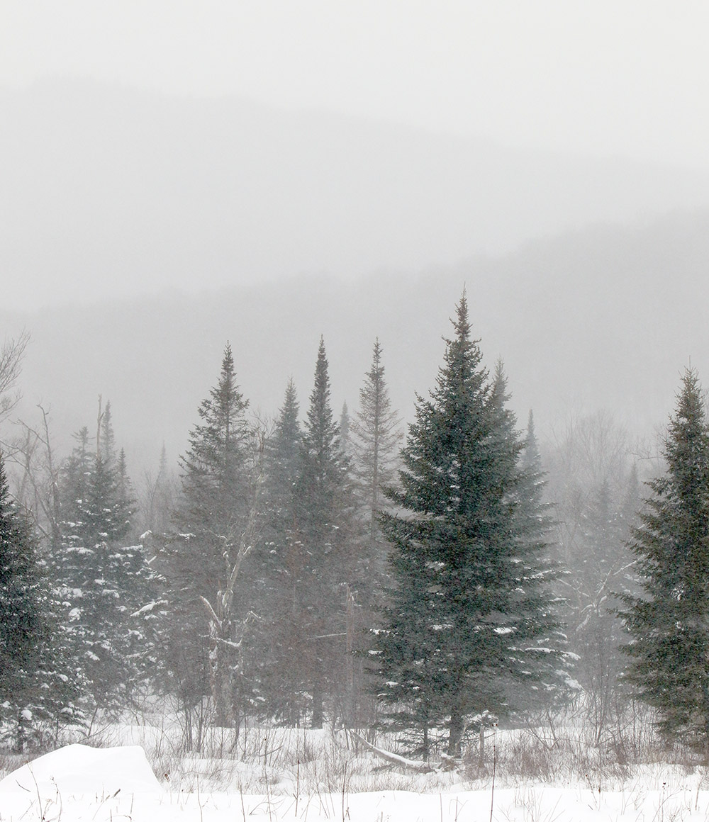
An image of evergreens and mountains obscured by snowfall in the Beaver Pond area of the Nordic and Backcountry Network at Bolton Valley Ski Resort in Vermont
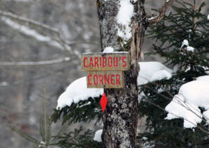
An image of the Caribou's Corner sign in the Beaver Pond area of the Nordic and Backcountry Network at Bolton Valley ski Resort in Vermont
Passing by Caribou’s Corner on my ski tour today in the Beaver Pond area of Bolton Valley’s Nordic and Backcountry Network

Since today’s forecast was in the single digits F, and there was the possibility of wind as well, ski touring seemed like the natural choice vs. riding the lifts. In addition, our current weather system, while certainly enough to freshen up surfaces, isn’t expected to be large enough to really reset the powder in areas that had been recently skied.

With the cold temperatures, and the way the depth and quality of the snowpack has been improving over the past week or two, I decided that I’d tour in some relatively low elevations nearby to see what potential they held. I started my tour at the Catamount Trail access area at roughly 1,200’ on the Bolton Valley Access Road, and did a ski tour up to the Buchanan Shelter near the 2,200’ elevation. That’s not a heavily used part of the Bolton Valley Backcountry Network, so I suspected that untracked powder would be relatively plentiful.

While I was out touring in the afternoon, light snow fell continuously, and throughout the tour I checked powder depths above the highest detectable subsurface layer in the snowpack. The powder depth profile I found with respect to elevation was as follows:

1,200′: 6-8”
1,500′: 6-8”
1,800′: 7-8”
2,000′: 7-8”
2,200′: 8-9”

Even with cold temperatures, powder of the 3-4% H2O variety that we recently received from Winter Storm Heather can’t sustain that level of loft forever. Indeed, the powder I encountered today had settled down to something more in the 6-8% H2O range, so the numbers above are the depths to which the surface snow has currently settled. Obviously all these recent storms continue to push the useful snowpack to lower and lower elevations, so overall snowpack depth wasn’t an issue even down to the 1,200’ mark. It’s hard to get estimates of the total snowpack depth because the lower layers are so settled and thick, but the snowpack is maybe a couple feet deep down at 1,200’? While I don’t have an exact number, even if there was only a foot of base below the powder, it’s so consolidated and flush with liquid equivalent that it would easily do the job.
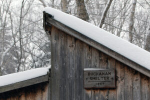
An image of the roofline of the Buchanan Shelter out on the Nordic and Backcountry Network at Bolton Valley Ski Resort in Vermont
A shot of the Buchanan Shelter while I transition for my descent

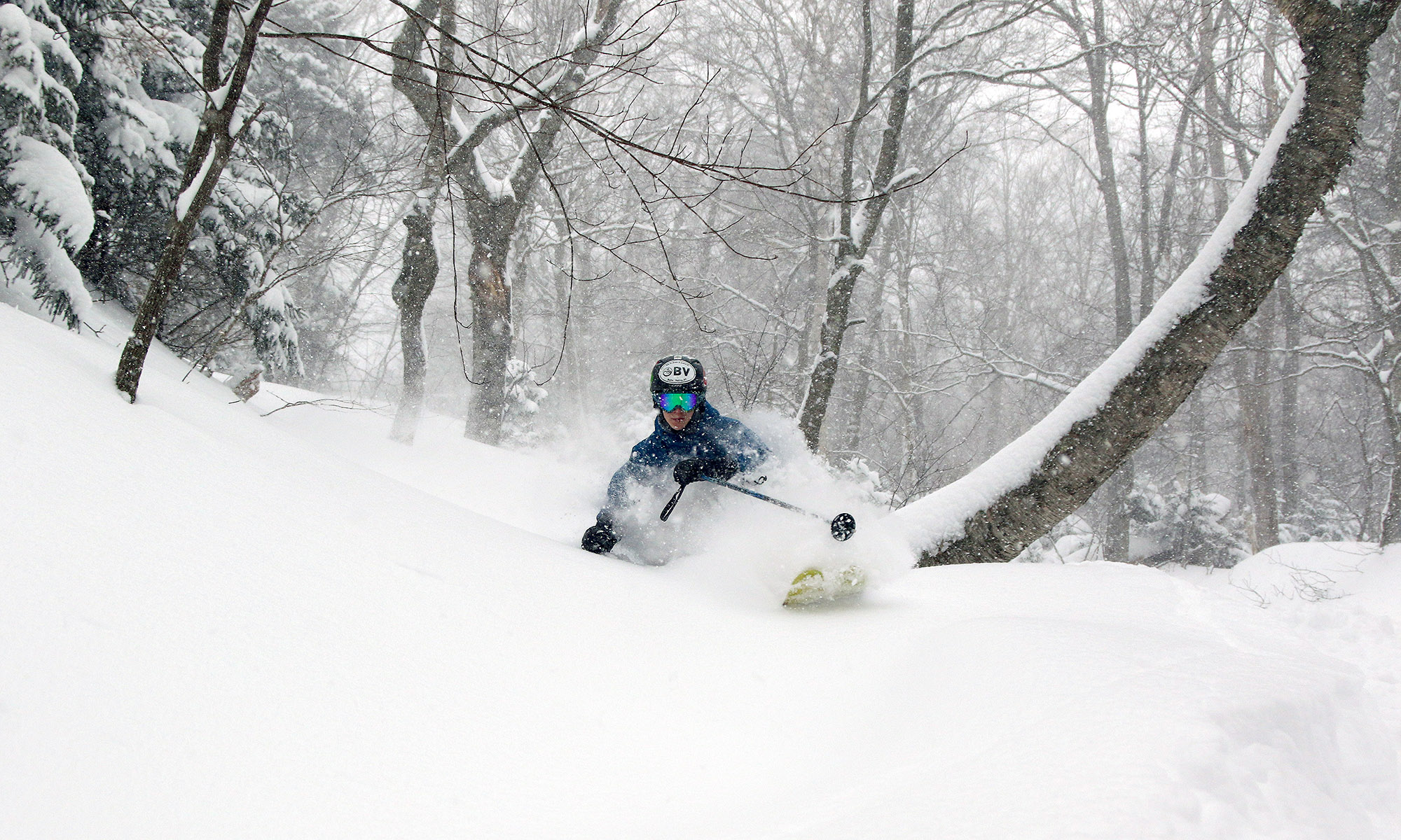
In terms of the skiing, the best turns were certainly up in the slopes just below the Buchanan Shelter where there is some solid pitch up into the black diamond realm. The approach portions of the tour have enough pitch to make a nice glide out and grab a few low-angle turns in certain spots, but with the current depths and density of the powder, descent speed is on the slower side right now. Also, cold temperatures like these reduce ski glide somewhat due to less melting, so that factors in as well. In the slopes up by the Buchanan Shelter I had the run of the area though in terms of fresh tracks. One person had recently skied back down the Beaver Pond Access Trail, but that was even a bit old, so it must have been from a couple of storms ago. Off in the trees, there were no prior tracks of any kind, so I had my pick of the most open lines, streambeds, chutes, etc. Fat skis were the call, and turns were definitely bottomless, but the best turns came from hitting those correct areas that appropriately accommodated the pitch, powder depth, cold snow, tree spacing, and all that.  There were some excellent powder turns on the tour though, so even down to the lower elevations in the ~1,000’ range, the current snowpack is really delivering.
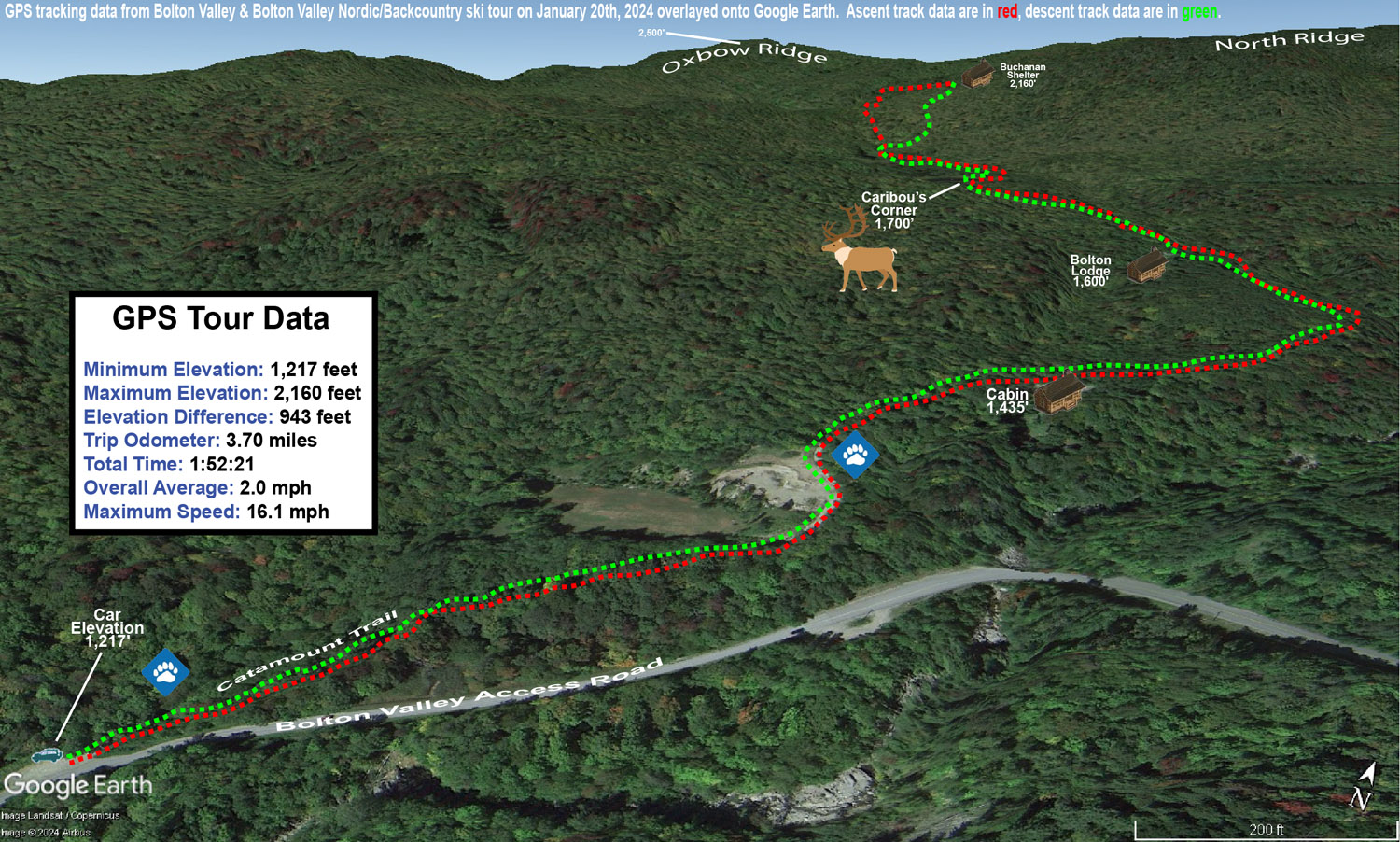
A Google Earth map with GPS tracking data of a ski tour up to the Buchanan Shelter on the Nordic and Backcountry Network at Bolton Valley Ski Resort in Vermont
A Google Earth map with GPS tracking data of today’s ski tour out on Bolton Valley’s Nordic & Backcountry Network

Bolton Valley Nordic & Backcountry, VT 26DEC2022

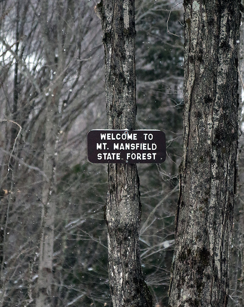
An image of the Mt. Mansfield State Forest sign on the Broadway trail entering the Nordic and Backcountry Network at Bolton Valley Ski Resort in Vermont
An image of snow on evergreens during a ski tour on the Nordic and Backcountry Network at Bolton Valley Resort in Vermont
Enjoying some of the snow on the evergreens along the route of my backcountry tour today

I hadn’t been out to the mountain since Winter Storm Elliot finished up, and although it was a mixed system in terms of precipitation, I was encouraged by how it played out for the local snowpack.  The storm brought roughly 8 inches of snow to our place down in the valley, and represented a net gain in both snowpack depth and snowpack liquid equivalent.  Bolton Valley was reporting 12 inches of new snow from the system, so the mountains must have fared at least as well as the valleys.

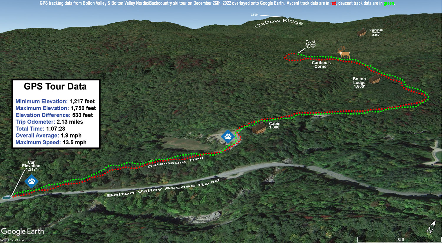
With some rain during the middle part of the system, I was wondering about the condition of the snow surfaces, so today I decided on a relatively low angle tour on the Bolton Valley Backcountry Network to get a feel for how the new snow had settled in.  I started at the Catamount Trail access point on the Bolton Valley Access Road, which is down around 1,200’, and toured up to around the 1,800’ elevation a bit above Caribou Corner.  Those are relatively low elevations overall, and 1,200’ is below even the Timberline Base, so it would certainly be a challenging stress test to speak to the quality and utility of the snowpack.

At 1,200’ at the parking area I found about 4 to 5 inches of powder above the base snow, and most notably, I couldn’t really find a rain crust.  There was a clear demarcation between the consolidated base and the surface snow, at least around the parking area where the snowpack is a bit more exposed to snow maintenance and sunshine.  The depth of the powder quickly increased as I ascended, and by about 1,500’ I was easily finding 6 to 12 inches of powder.  It became hard to judge the depth of the surface snow though, because I typically couldn’t even find an interface between the new snow and the underlying snowpack; the wetter precipitation from the storm must have either drained well or transitioned smoothly to snow.  I’d say total snowpack depth was probably around 10 to 12 inches at 1,200’ and 12 to 16 inches at 1,800’, but there’s plenty of substance to it, so it’s quite skiable up to moderate angles in maintained areas, and obviously it’s going to be notably deeper up above 2,000’.

An image of a cabin during a ski tour on the Nordic and Backcountry Network at Bolton Valley Ski Resort in Vermont
A snowy view of a cozy cabin along the route of my ski tour today

In terms of the skiing, the powder was actually too deep for the lowest angle sections on the tour, and I’d have to use existing skin tracks or other skier tracks to maintain or pick up speed.  The next tier of pitches skied great with the snow though.  I typically like that tour up to Caribou Corner when there’s about 4 to 6 inches of powder over a consolidated base, so this really was a bit deeper than that, and I’d say folks should move on up to moderate angle terrain for the best backcountry turns, especially with additional snow falling over the next couple of days.  There was light snow falling during my tour in the form of those big fluffy flakes, and I see that the resort reported an inch of new this morning.

The season snowfall seems roughly on track at our house observations site as of Christmas.  Snowfall to date on the 25th was 40.1” vs. a mean of 40.4”, and snowpack depth at 10.5” was a few inches above average.  The SDD for the season were a little behind average pace at 146.5 SDD vs. the 162.2 SDD average.  I can see in the data that the SDD deficiency is largely due to that slow first half of December, because we were still ahead of average SDD as of the end of November, and then the pace started to fall off before picking up again in the second half of the month.

A Google Earth map with GPS tracking data of a ski tour on the Nordic and Backcountry Network at Bolton Valley Resort in Vermont
A Google Earth map with GPS tracking data for today’s ski tour out on Bolton Valley’s Nordic and Backcountry Network

Bolton Valley Nordic & Backcountry, VT 19FEB2022

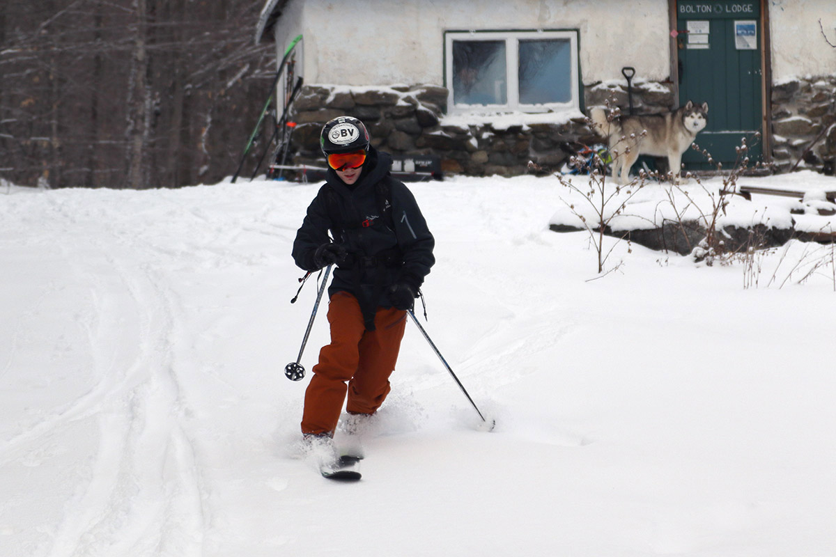
An image of Ty Telemark skiing by the Bolton Lodge on the Nordic and Backcountry Network at Bolton Valley Resort in Vermont
An image of snowy evergreens by a cabin on the Nordic and Backcountry Network at Bolton Valley Ski Resort in Vermont
Evergreens adorned with some of the recent snow near a cabin along the Catamount Trail

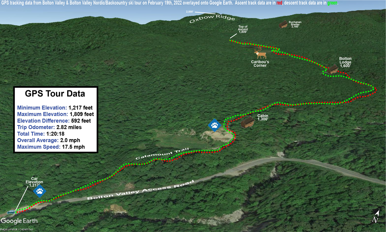
We picked up a few inches of snow from the back side of Winter Storm Miles as of yesterday, and a clipper system passing north of the area this morning dropped a couple more, so Ty and I decided to head up to the Bolton Valley Nordic and Backcountry Network for a tour this afternoon.  We were looking for something fairly low angle and mellow to fit the amount of new snow, so we chose to tour from the Catamount Trail parking lot along the access road up to the Caribou Corner and beaver pond areas.

We had comfortable temperatures in the 20s F, and found about 3 inches of new snow starting at the 1,200’ elevation.  My initial plan was to head up to at least the Caribou Corner intersection, and then see how we felt at that point in terms of snow conditions and timing.  Even at a casual, conversational pace, Ty and I were quickly at Caribou Corner, and I figured we could go on past to see what the snow looked like beyond the beaver ponds.  Surface snow depths were generally in the 3-4” range, but we did find a few spots of up to 7” by the beaver ponds.  We finally stopped our ascent around the Moose-ski trail on a local rise that set us up with an initial descent of relatively low angle pitches.

A Google Earth map with GPS tracking data for a ski tour on the Nordic and Backcountry Network at Bolton Valley Ski Resort in Vermont - February 19th, 2022
The Google Earth map with GPS tracking data for today’s ski tour on the Bolton Valley Nordic & Backcountry Network

Even on low-angle terrain, we were still touching down to the base with any substantial edging, and only occasionally would be find just the right combination of snow depth and pitch where we could get in some bottomless turns.  Those spots where you could make a gentle turn without much angulation were the ones that delivered.

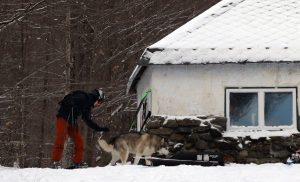
An image of Ty and a husky by the Bolton Lodge on the Nordic and Backcountry Network at Bolton Valley Ski Resort in Vermont
Ty and his furry friend out by the Bolton Lodge on today’s ski tour

A fun aspect of the day was interacting with the Husky that seems to live at that house/cabin that’s about 10 minutes up the hill along the Catamount Trail.  It’s a really well-behaved dog that seems to interact nicely with most people who are out on that area of the network.  On our ascent, we parted company with the Husky a few minutes after passing the house, when it joined a group of children who were sledding in a spot just below the Catamount Trail.  On our descent, the Husky was right at the Bolton Lodge, and joined us for the rest of the descent back to the cabin, where we met the owner.  What a great back yard that Husky has!  With the Catamount Trail and Bolton’s Nordic and Backcountry Network right there, I bet there’s hardly even a shortage of people to play with.

Bolton Valley Nordic & Backcountry, VT 14FEB2021

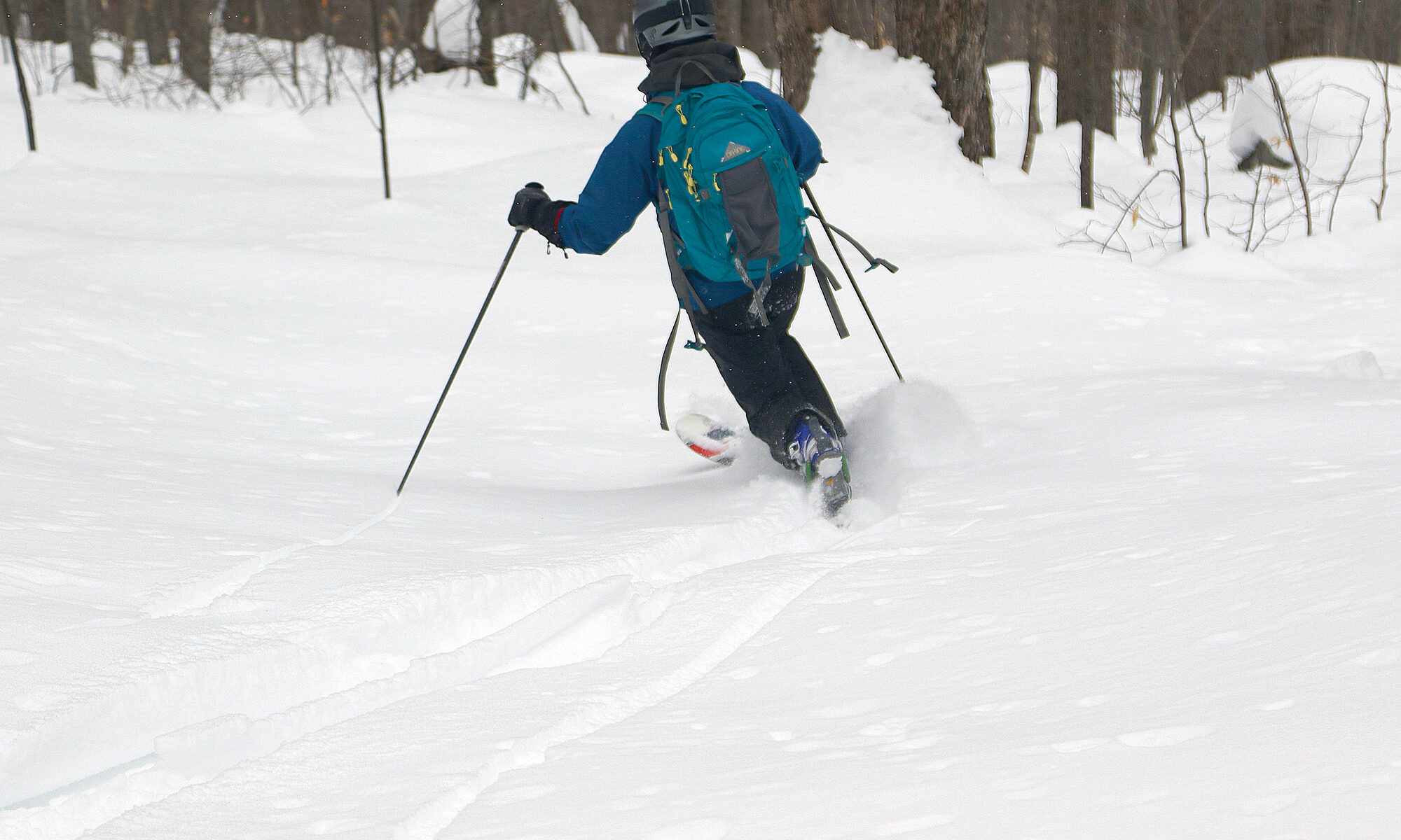
An image of Erica skiing out through powder in the trees below the Buchanan Shelter in the backcountry at Bolton Valley Ski Resort in Vermont
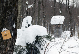
An image showing the privy building by the Buchanan Shelter on the Nordic & Backcountry Network at Bolton Valley Ski Resort in Vermont
A view of some of the snow up by the Buchanan Shelter near the start of our descent on today’s ski tour.

Yesterday I toured in the Beaver Pond area of the Bolton Valley Nordic & Backcountry Network, and the powder I found was so exquisitely good, that I had to get E out there for some turns as well.  The boys were both working during the middle of the day today, so we headed up during that window to do some additional exploring based what I’d discovered yesterday.

“…the powder I found was so exquisitely good, that I had to get E out there for some turns as well.”

Thanks to my explorations on trails like Moose-Ski and Grand View, I knew the most efficient and direct approach route to the Buchanan Shelter was to simply take the Catamount Trail to Beaver Pond.  I’d taken this as my final route out on yesterday’s tour, and it really worked well as a rather direct and efficient gravity traverse back to the car.  Indeed, it was quite the efficient route for the approach today, and it’s such a gradual incline that before you know it, you’ve gained several hundred feet of elevation.

During yesterday’s tour, I was pressed for time, so on my descent from the Buchanan Shelter, I had to stick near Upper Beaver Pond.  Today we had plenty of time, so we were able to explore more to the east to find the best lines.  There’s plenty of open forest for turns, and we were able to pick some fantastic lines that brought us right back down on Deer Run near the junction with Beaver Pond.  We also had plenty of time to enjoy additional turns in some of the low-angle powder on the return to the car.

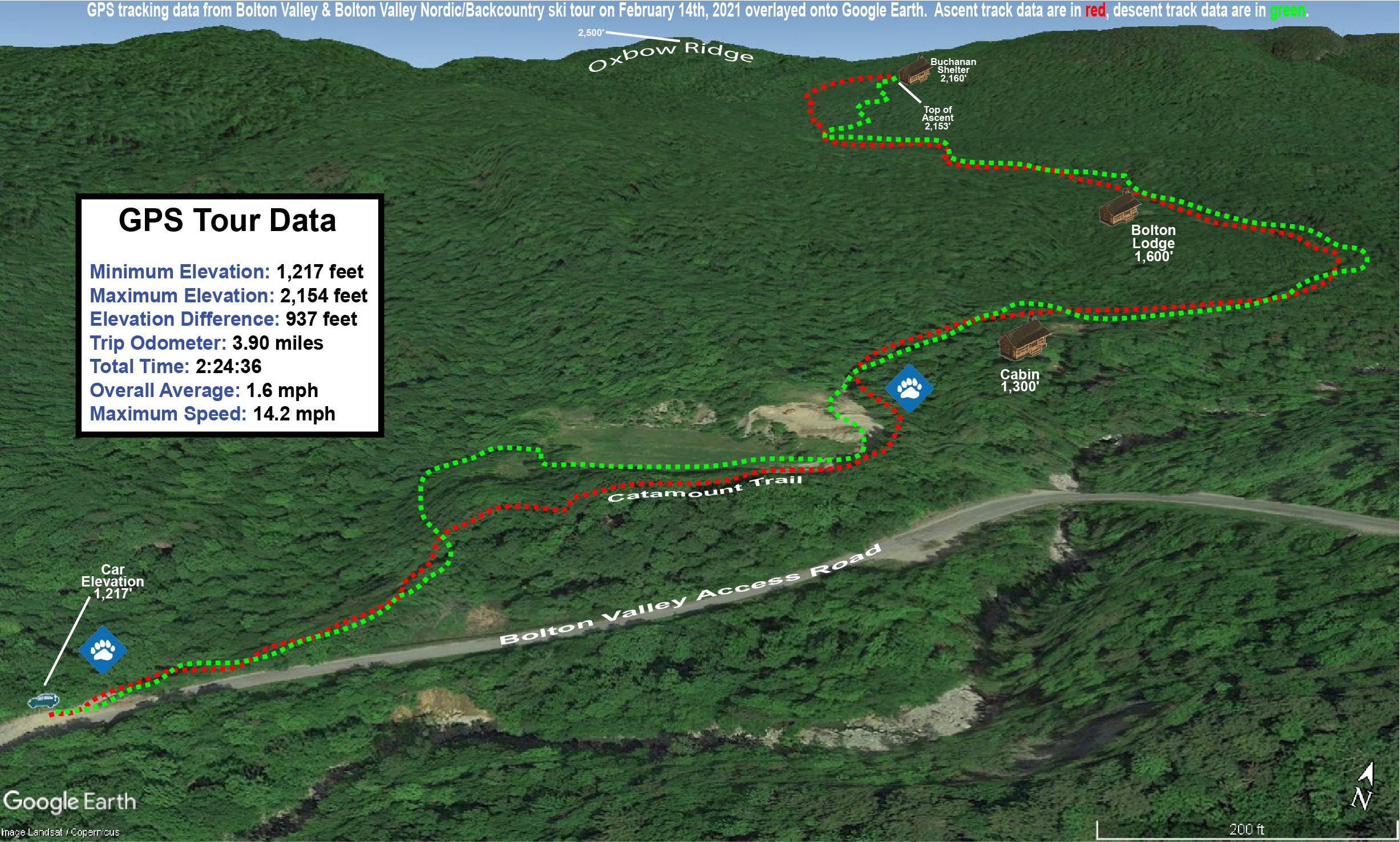
A Google Earth map showing GPS tracking data for a ski tour on the Nordic & Backcountry Network at Bolton Valley Resort in Vermont
GPS Tracking for today’s tour on the Bolton Valley Nordic & Backcountry Network overlaid onto Google Earth

The powder was just as excellent today as it was yesterday, so it was a great ski outing.  And, the fact that it just ended up being the two of us was sort of neat in the context of Valentine’s Day.