


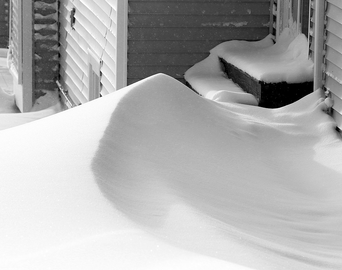
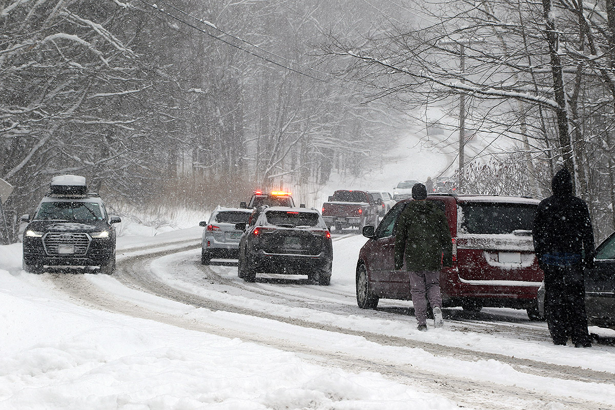
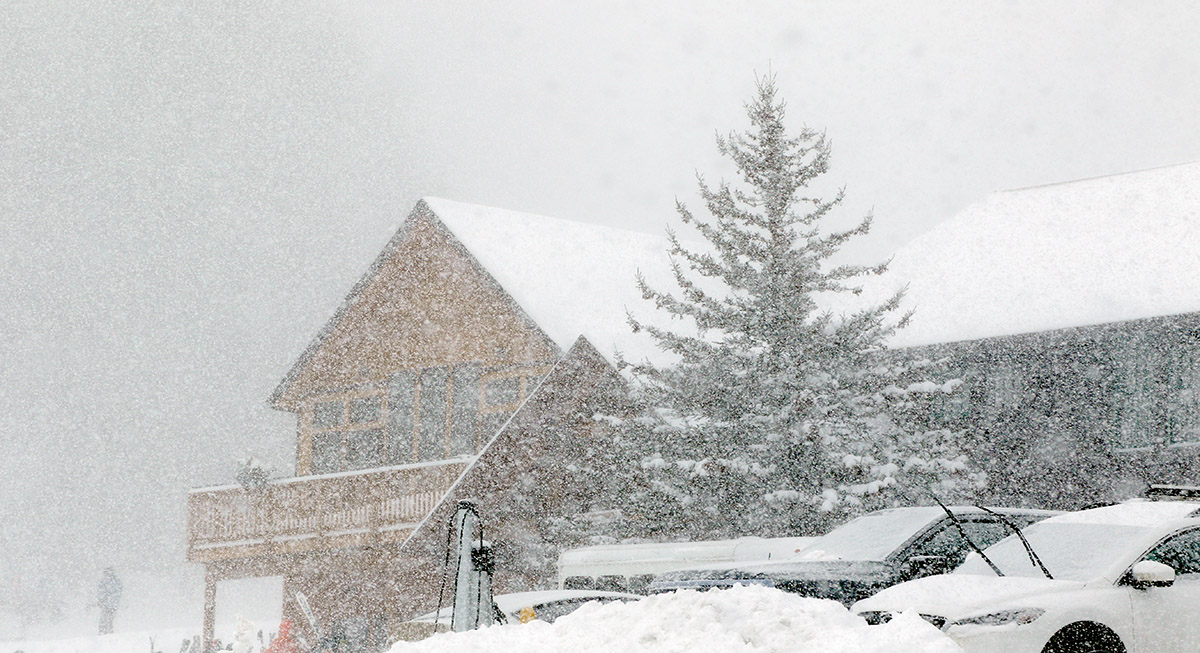
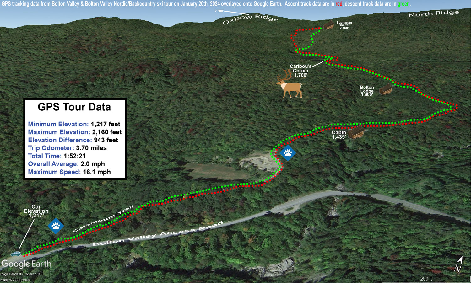
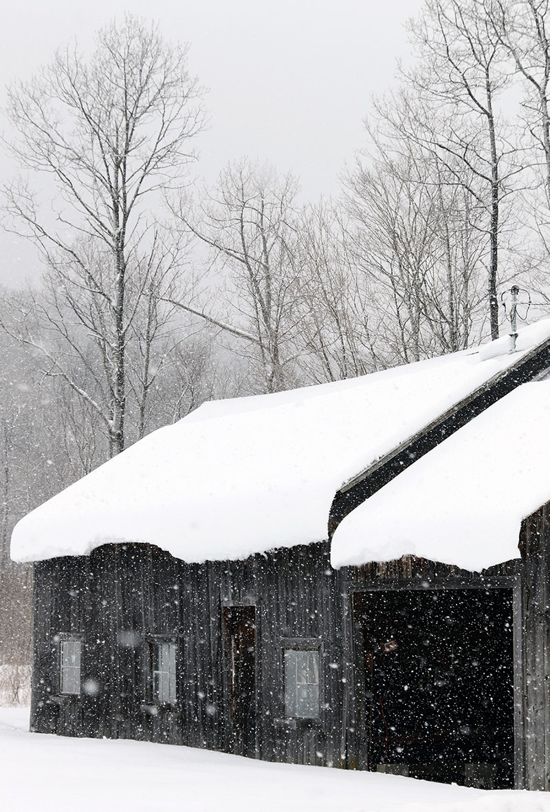
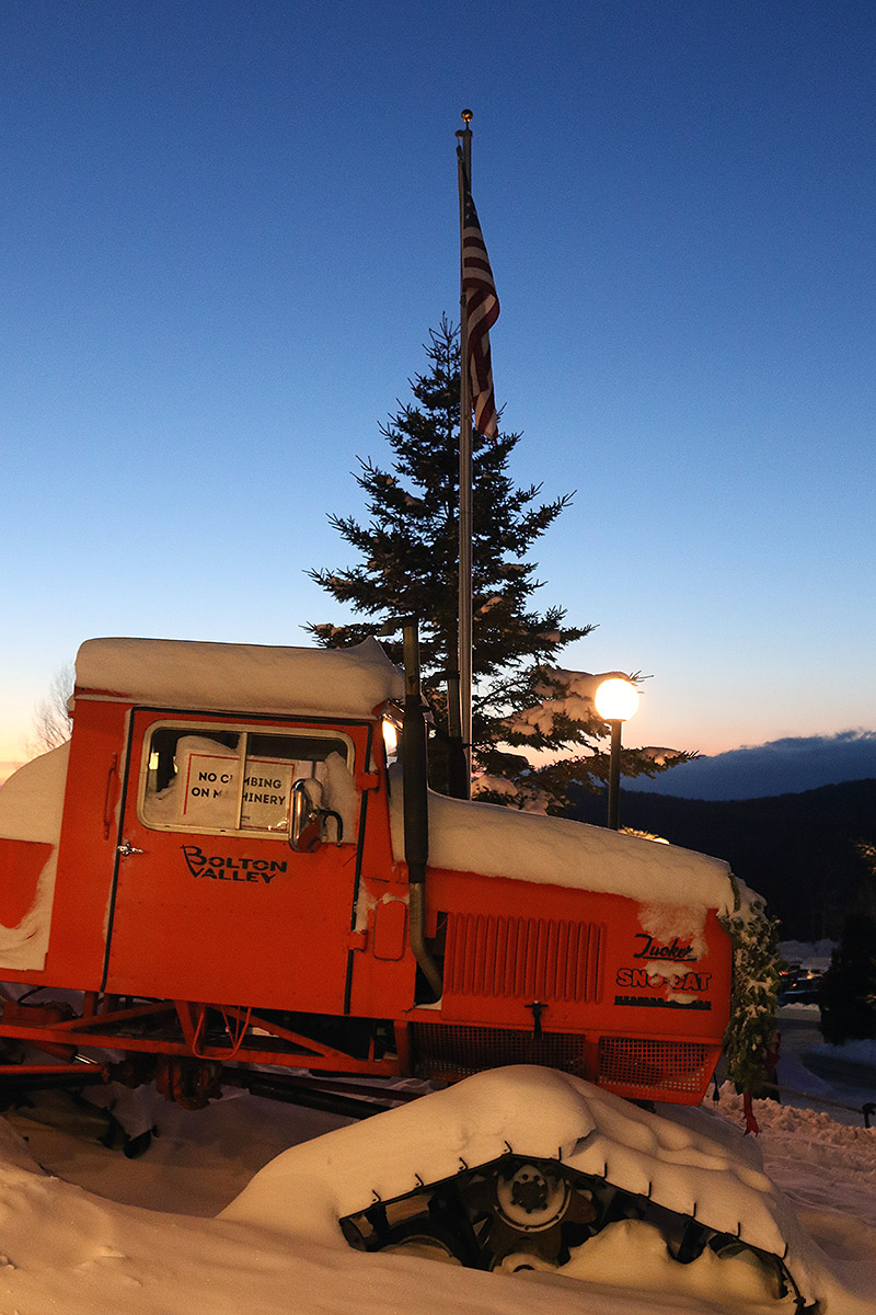
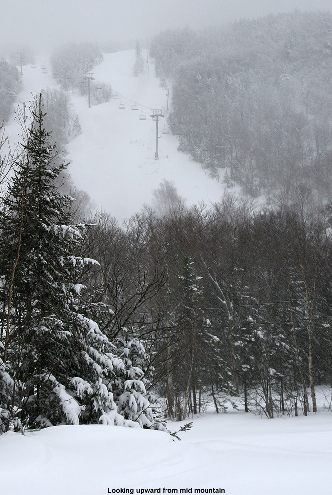
The weak area of low pressure that passed through the area last night brought 5 to 7 inches of snow accumulation to Bolton Valley as of their morning report. That was definitely enough to make it worth checking out some lift-served, on piste skiing. Unfortunately, high temperatures were expected to be in the single digits F, and with some wind around as well, that really didn’t lend itself to sitting on the lifts. Tomorrow’s forecast is looking much better, so I figured ski touring was ultimately the best call for today.
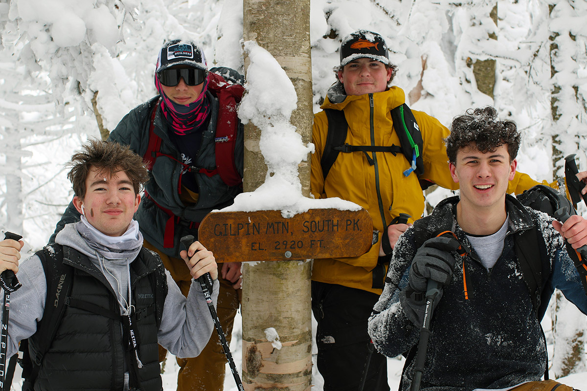
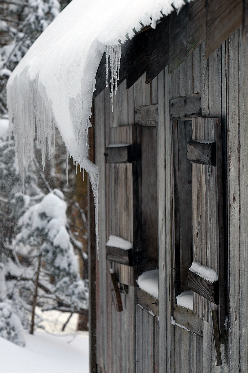
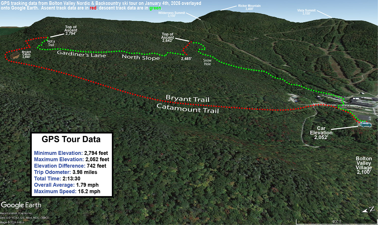
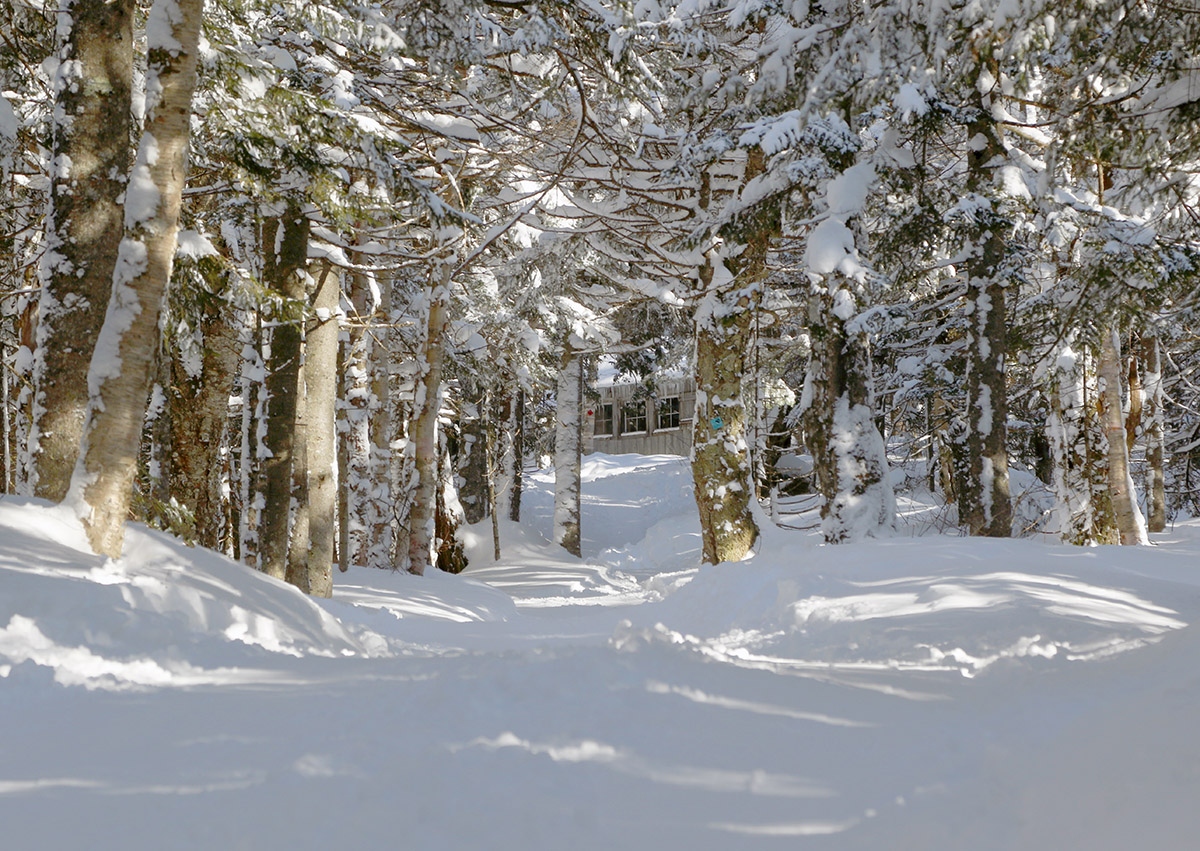
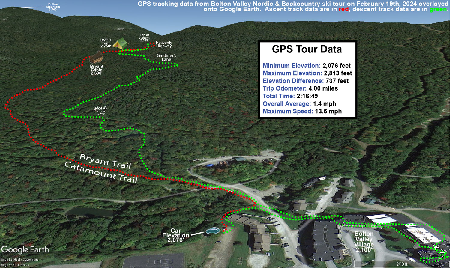
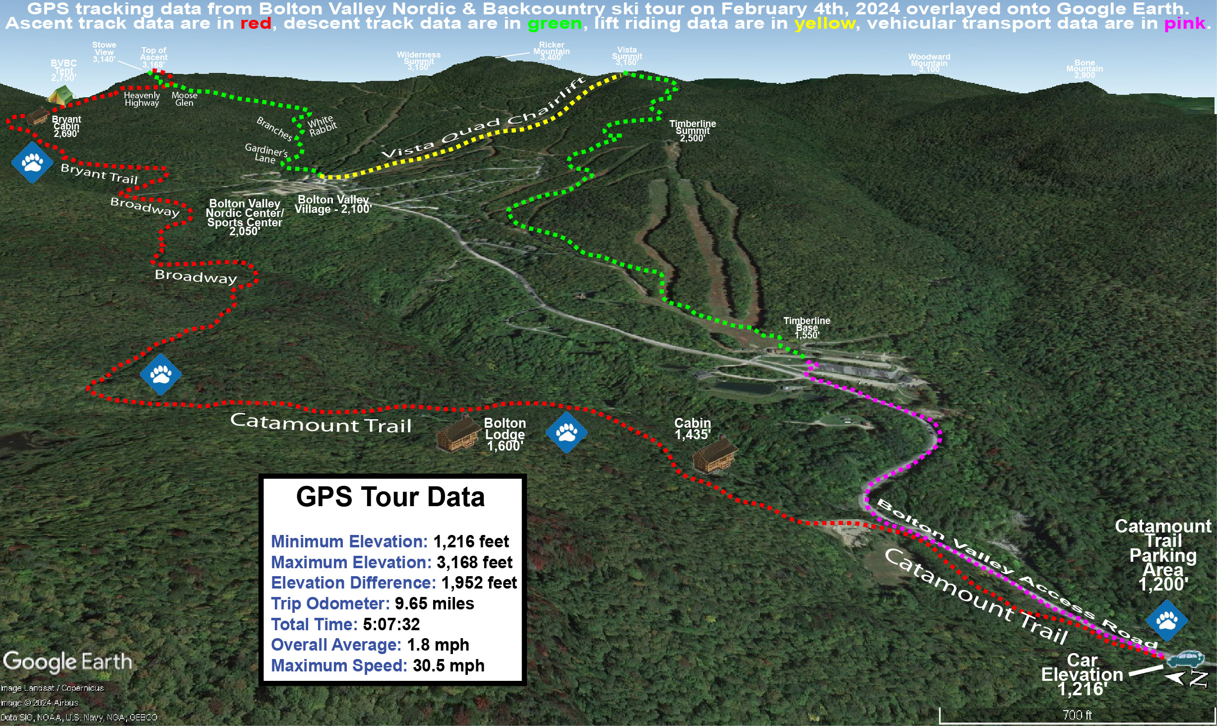
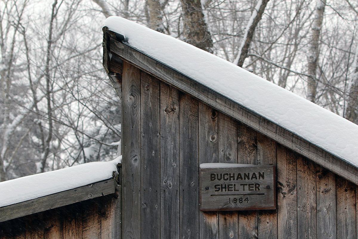
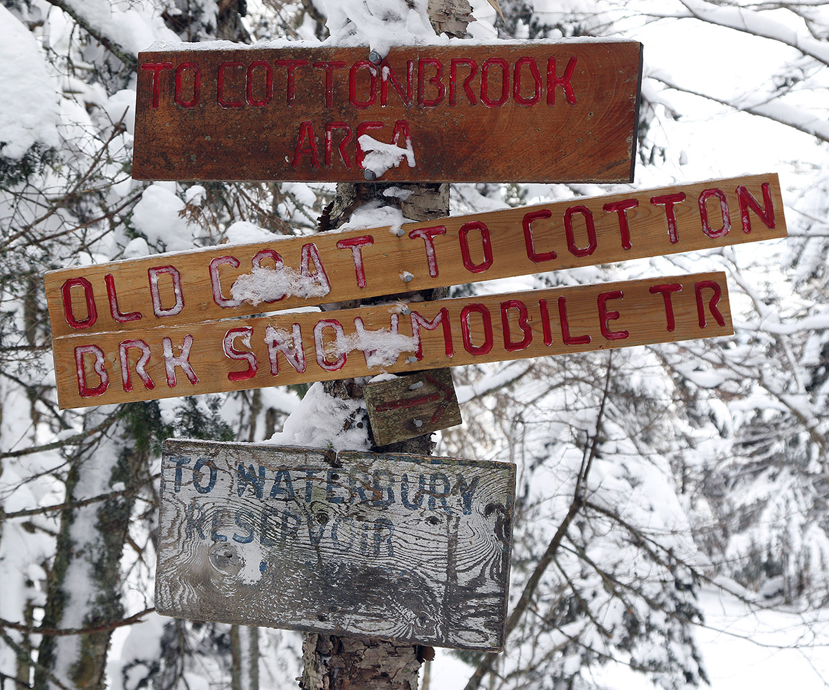
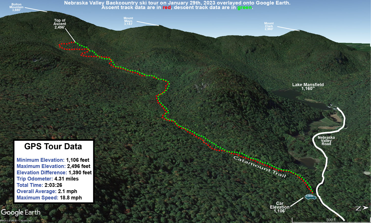
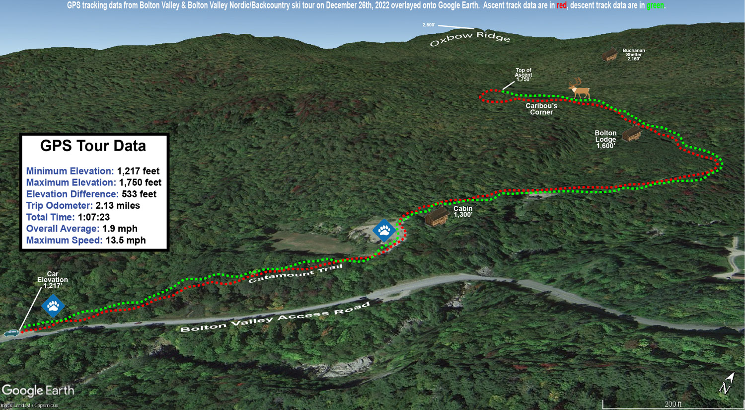
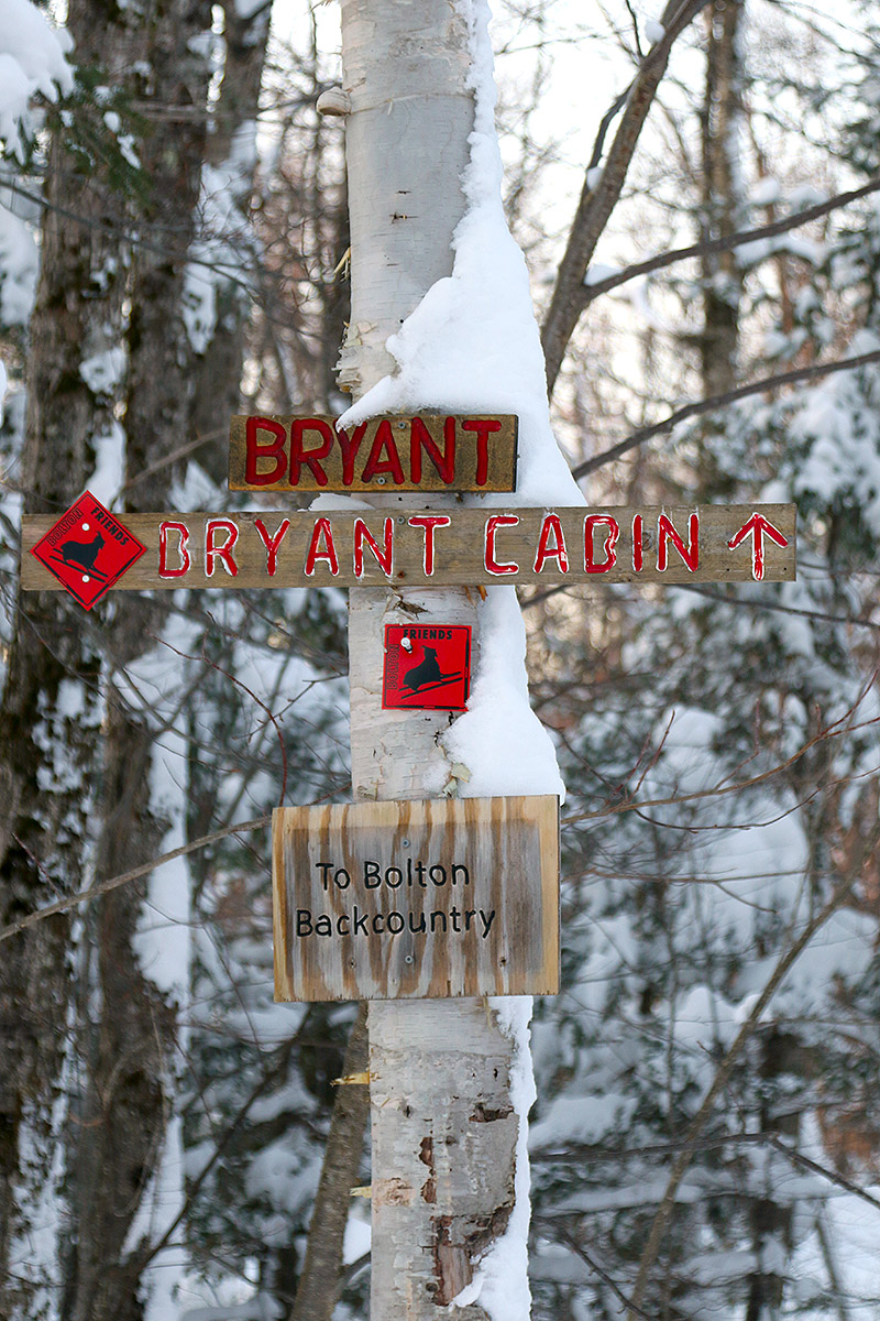
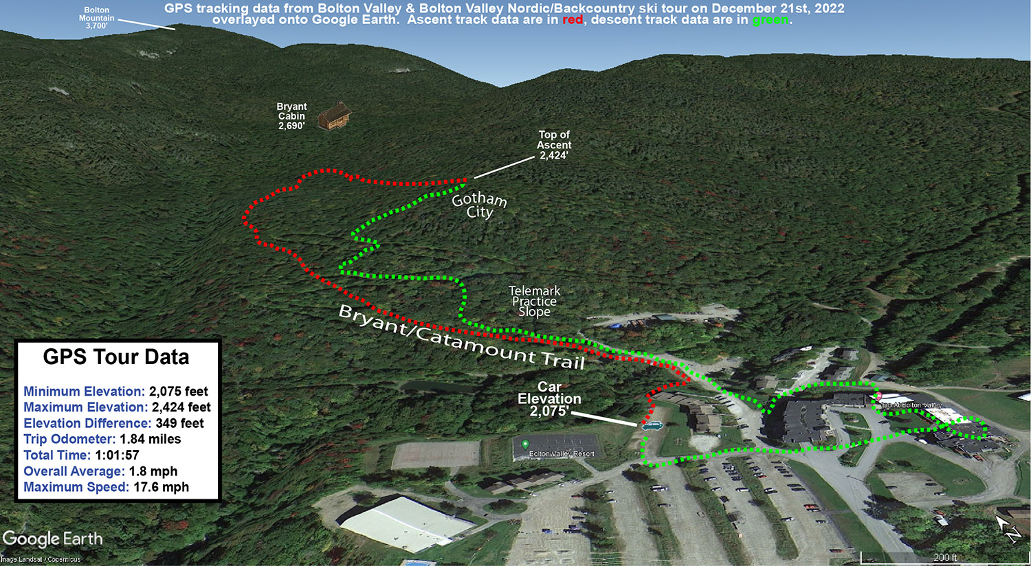
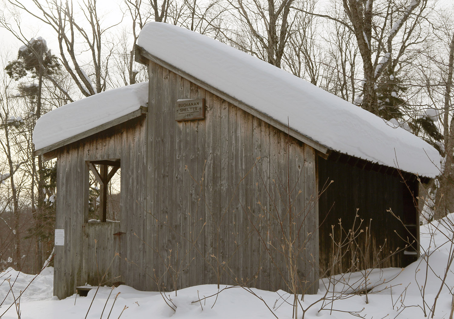
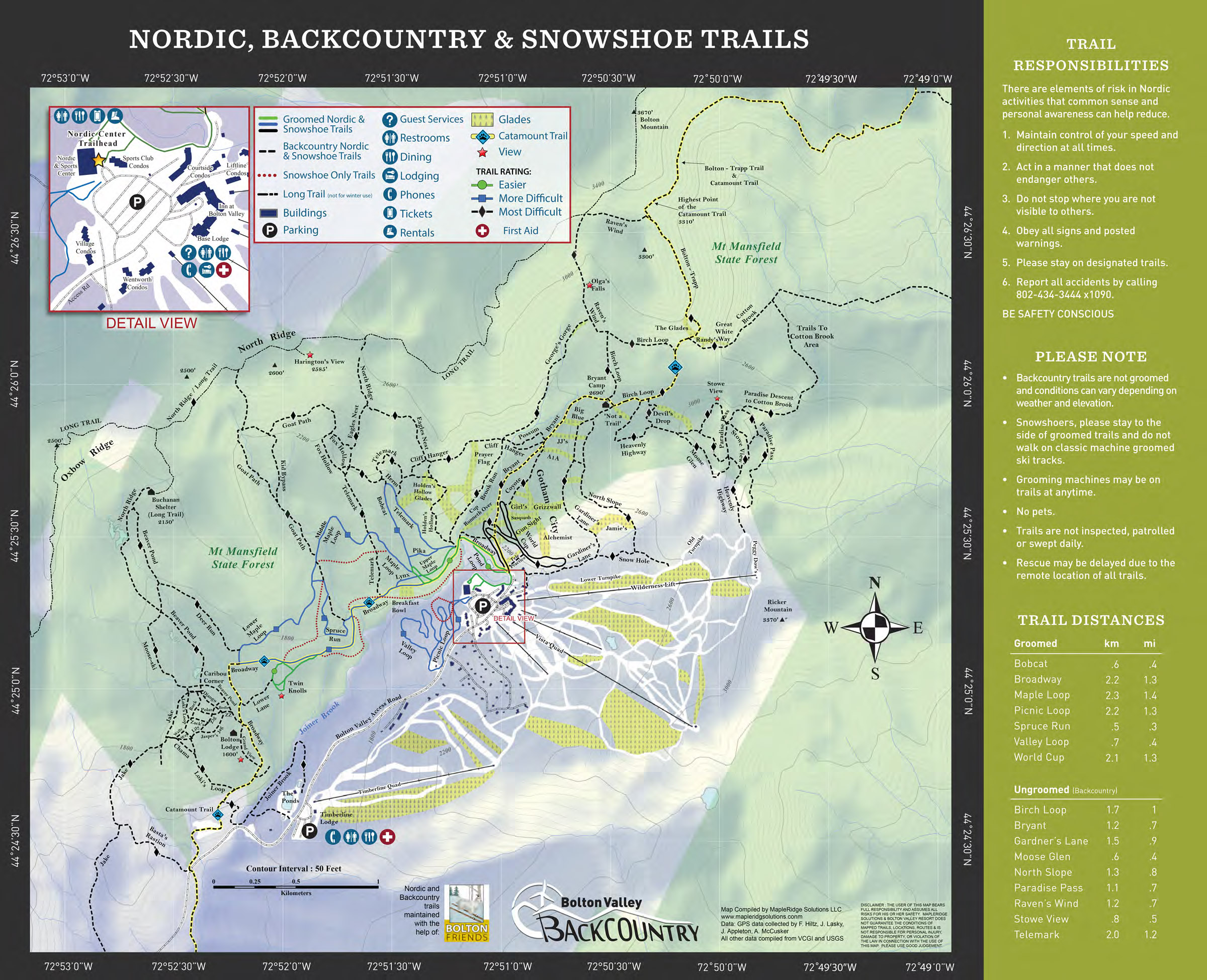
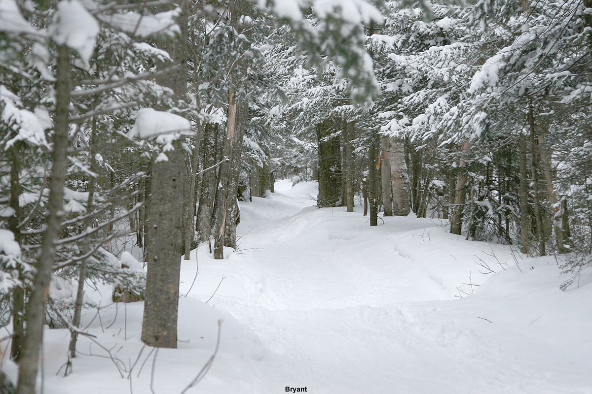
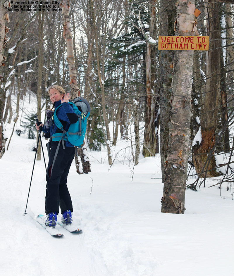
I haven’t been up to the Buchanan Shelter area of the Bolton Valley Nordic & Backcountry Network yet this season, because I’ve been waiting for the lower elevation snowpack to get to the point where it was viable for touring without worrying about coverage. I typically start tours to the Buchanan Shelter at the Catamount Trail parking area on the Bolton Valley Access Road, which is down around 1,200’, so you want a decent snowpack down to at least that level. Even with settling, we’ve finally got a snowpack of more than a foot down at our house in the Winooski Valley at the 500’ elevation, so that had me confident that the snowpack at 1,200’ was ready. The starting point there at the Catamount Trail parking area would definitely be the lowest elevation ski touring I’ve done yet this season, but with the cold temperatures getting worse at higher elevations, being at some of those lower elevations was a good thing.

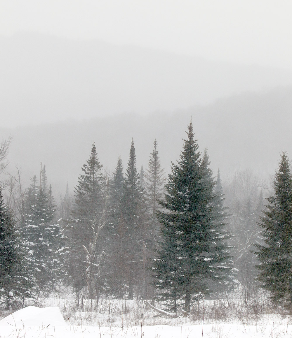
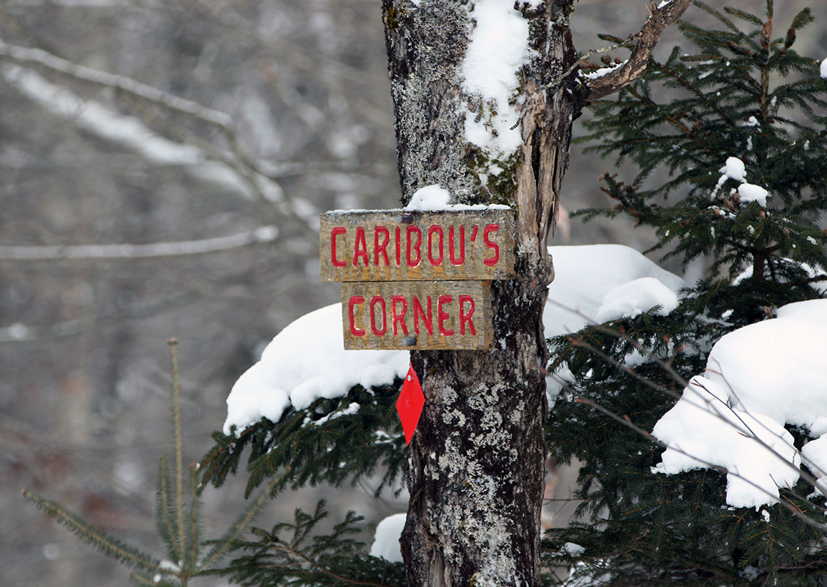
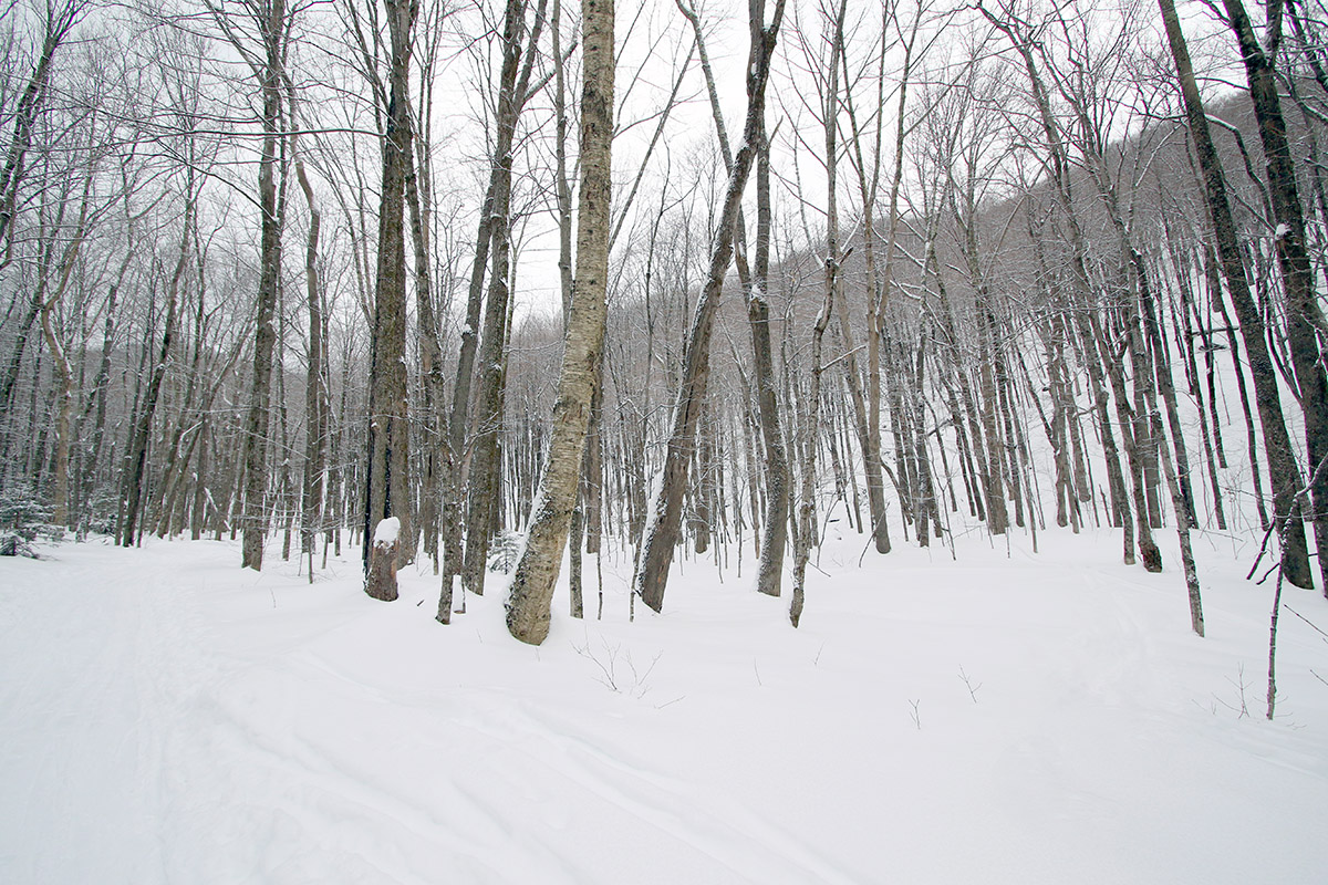
I headed up to the trailhead around midday, and was worried that parking might be tight, but there was only one other car in the parking lot, and it looked like it had been sitting there for a while – it had about 4 inches of fresh snow on it from the most recent storm. When I’d check the midmorning temperature up at Bolton Valley, they were reporting a temperature of 1 F, so I knew it was going to be cold out there. As I started my tour though, especially with the bright sun, it really felt more like “February” cold, vs, December or January cold. That sunlight definitely makes a difference in taking off some of the chill. The first big chunk of my ascent up the Catamount Trail was out of the wind, so it really was quite comfortable, but I was quickly reminded of just how cold it was when I hit Caribou’s Corner and got into those open, exposed areas by the beaver ponds.
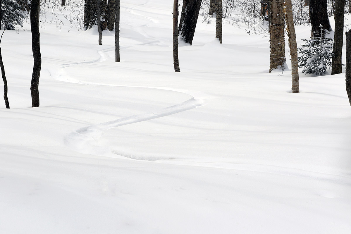
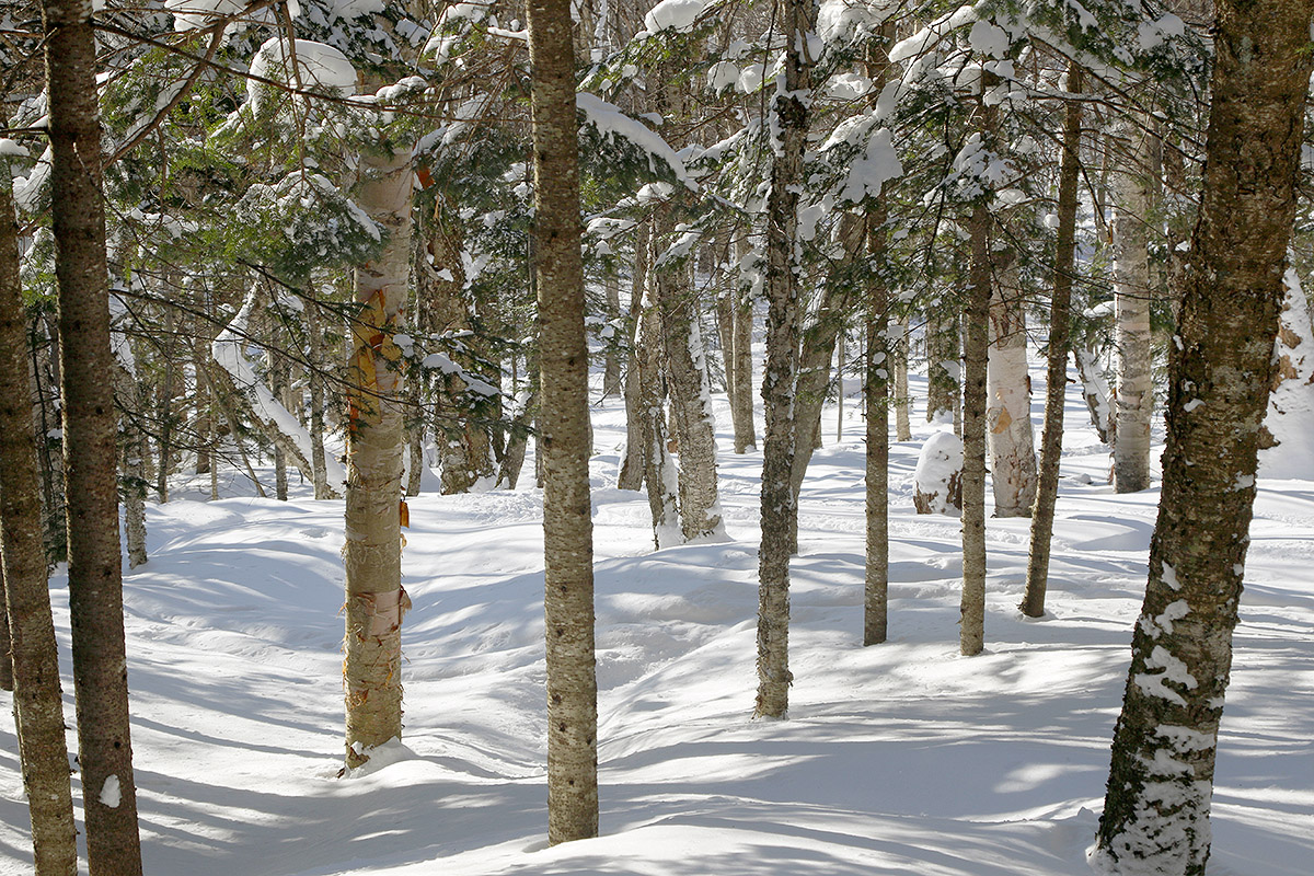
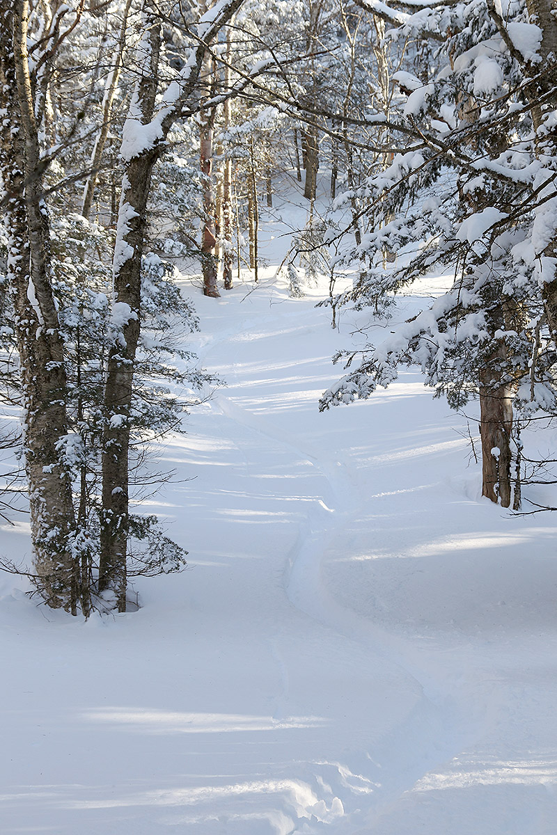
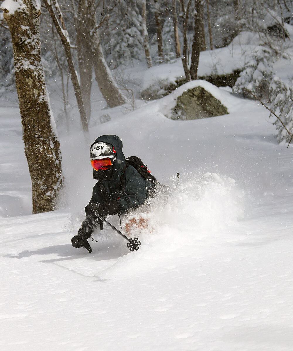
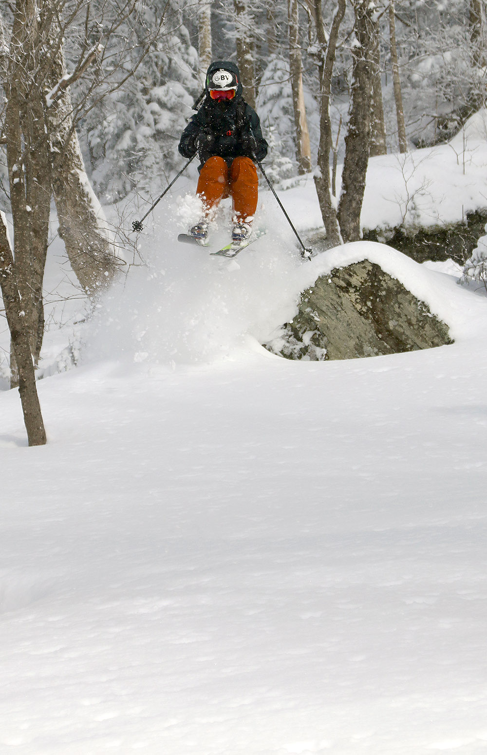
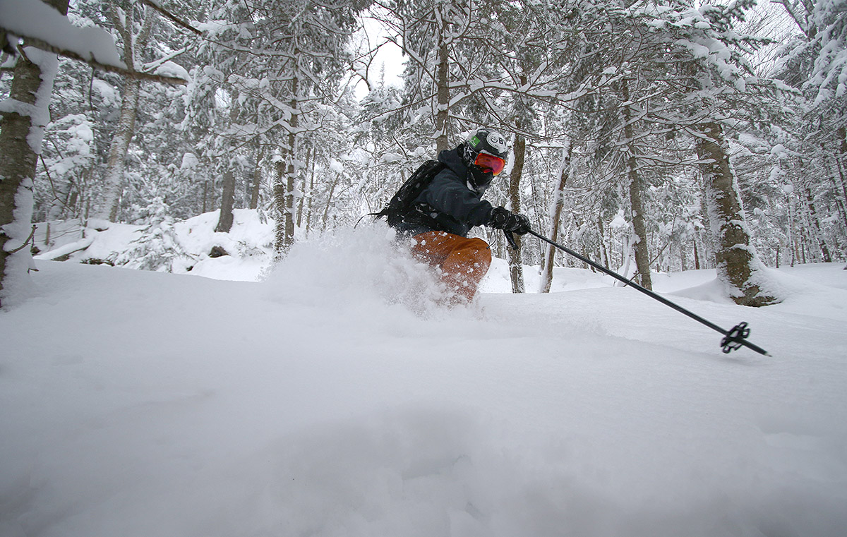
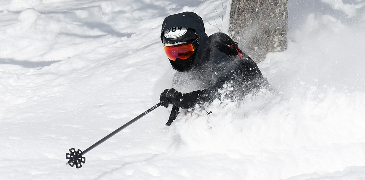
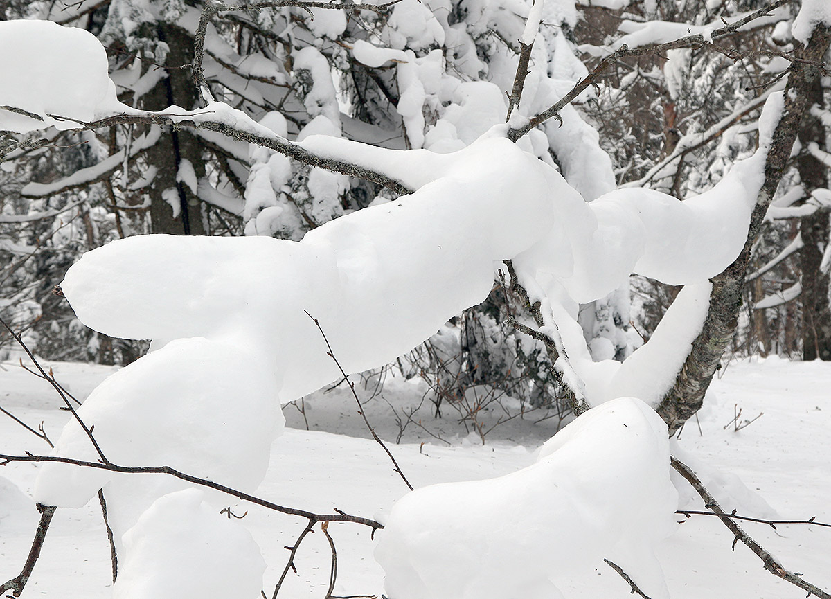
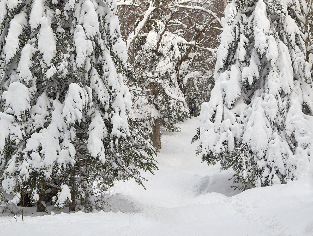
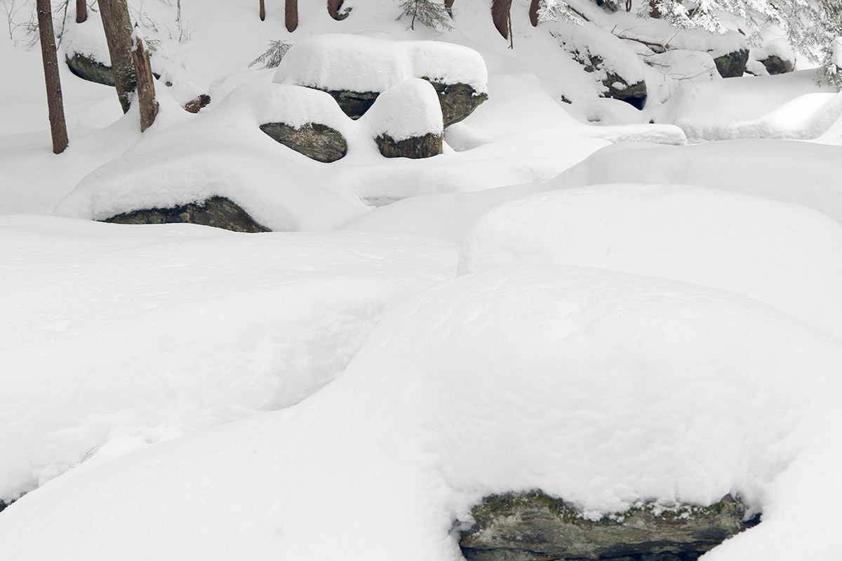
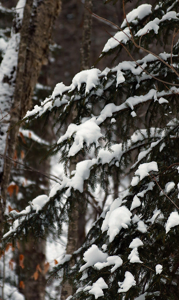
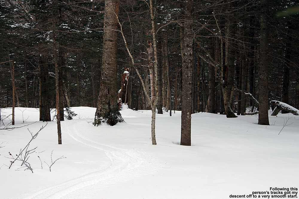
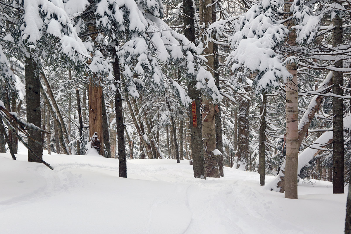
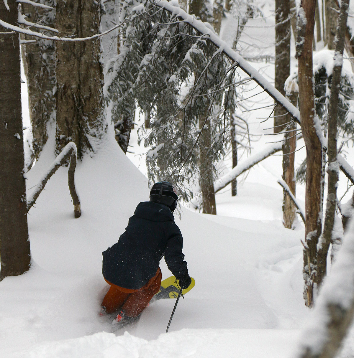
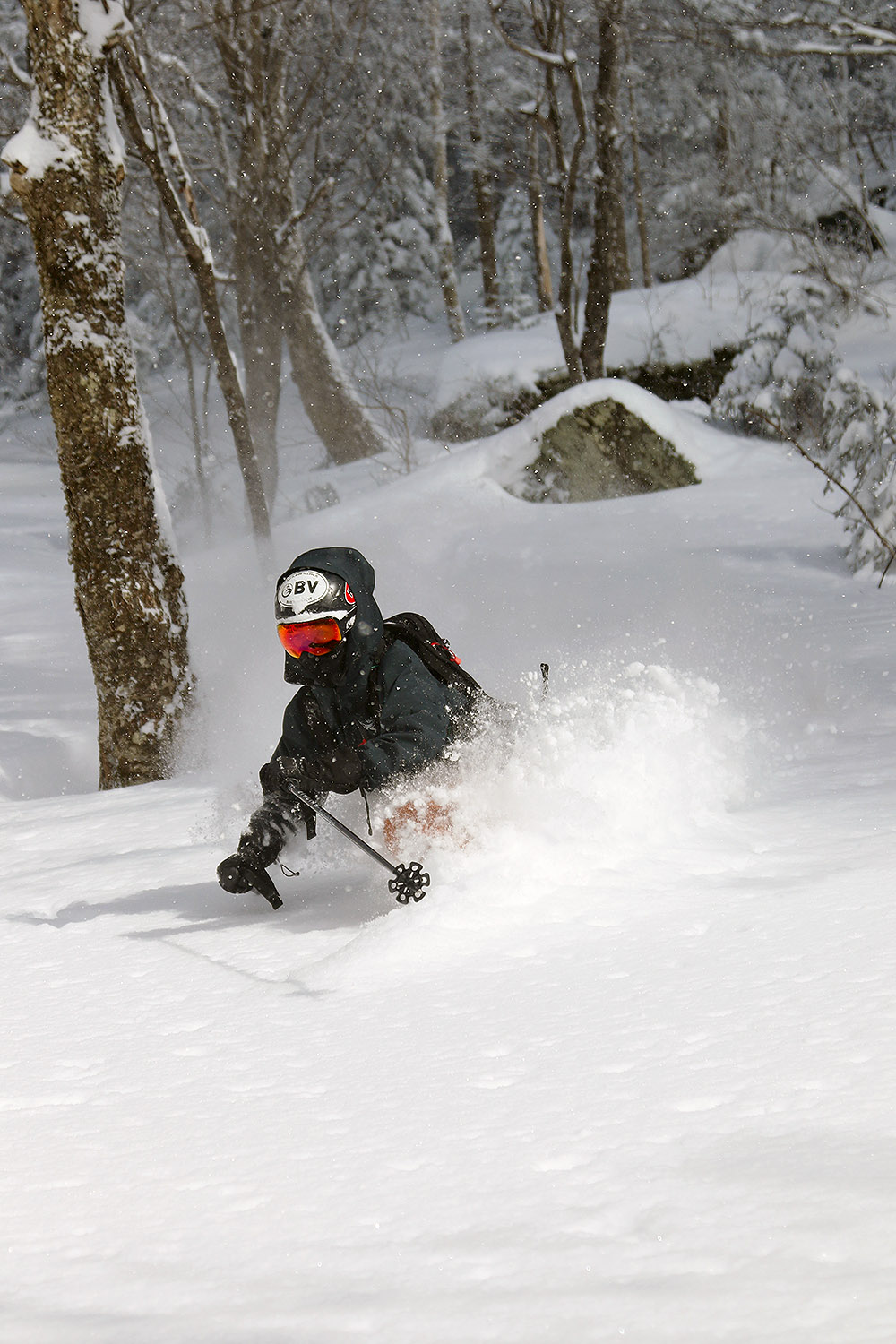
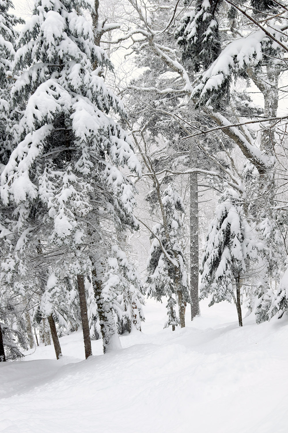
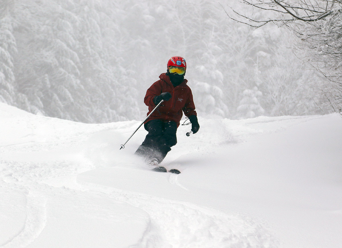
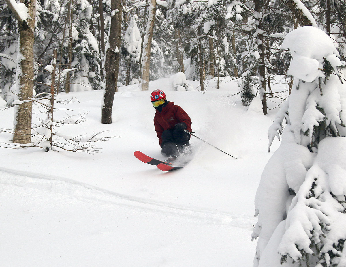
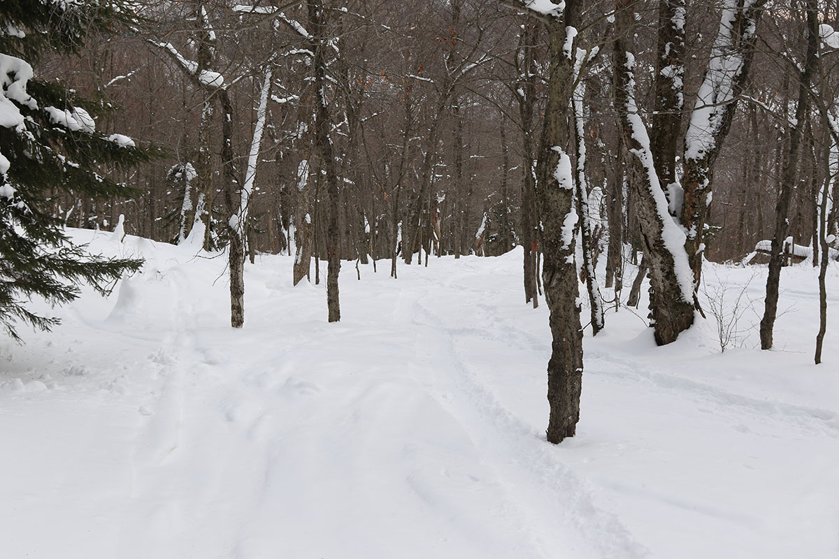
Beyond Caribou’s Corner, I also started to get into some drifted snow, and that required occasionally breaking trail through 1 to 2 feet of powder. Skier traffic was incredibly light today in that area of the network, but thankfully I was able to make use of at least a few tracks of Nordic skiers in the lower and middle elevations of the approach. Where trails hadn’t been broken though, I was typically having to break trail myself through about 4 to 10 inches of powder where snow hadn’t drifted. Once I reached the Upper Beaver Pond Trail, all bets were off though. Nobody had broken trail there, and the best help I could get were the vestiges of where someone had set a track several storms ago. That helped at least a little, but that faint memory of a track disappeared in many places due to drifted snow, so I was left breaking trail up the steepest part of the ascent through a foot or two of powder. I did have my 115 mm fat skis on, and at least they were a saving grace with respect to floatation for breaking trail. While fatter skis do add a bit more weight on your feet, there’s no doubt that they more than made up for that in deep snow with respect to how much higher they kept me up and out of the snow while breaking trail.
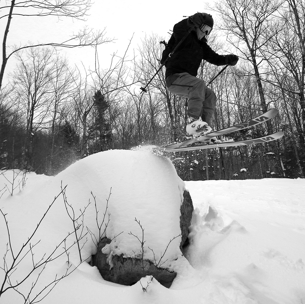
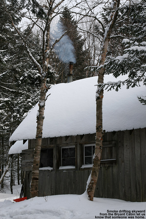
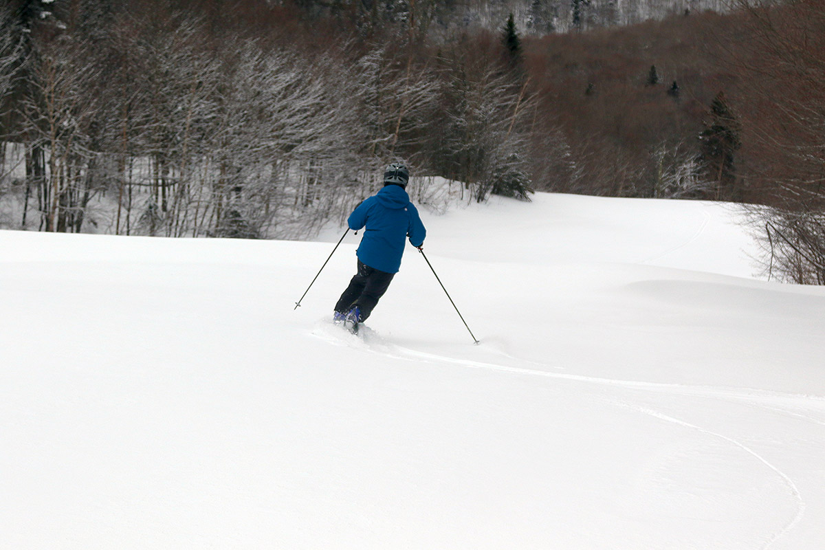
For the typical descent on these tours, I head southward or southeastward right from the Buchanan Shelter area, and I know that ski terrain is great, but I had the time and figure I’d mix things up with a bit more exploring today to see what else might be available. So, instead of descending from the Buchanan Shelter, I continued on up the spur trail that leads from the shelter toward the Long Trail, then cut eastward to catch the high ridge that juts out southeastward off the main Oxbow Ridge/North Ridge area. I could see that the top of that ridge I was targeting was hitting the evergreen tree line, and it looked like the vegetation would be too tight for skiing its steep slopes, so I cut through the col separating that ridge from the Oxbow Ridge/North Ridge. From the col, I headed out along the ridge itself to check for ski terrain, but as I’d expected, it was fairly dense with evergreens, and the south face was quite steep and rife with ledges as well. Descending the east side of the ridge, I just continued to traverse left until the vegetation became more of a hardwood/evergreen mix. I ended up descending through a gully in the Goat Path area, although I never actually connected with the Goat Path trail itself. I wrapped back around the ridge and finally connected back to the trail Network at Maple Loop. From there, I was able to easily head back to the parking area via Broadway and the Catamount Trail. My descent through the gully was fine, and there were some nice steep, skiable lines, but I’d actually say the standard terrain down below the Buchanan Shelter offers better skiing, so the extra effort required to head to the east side of that ridge isn’t worth it unless you really just want to explore that rarely visited part of the network.

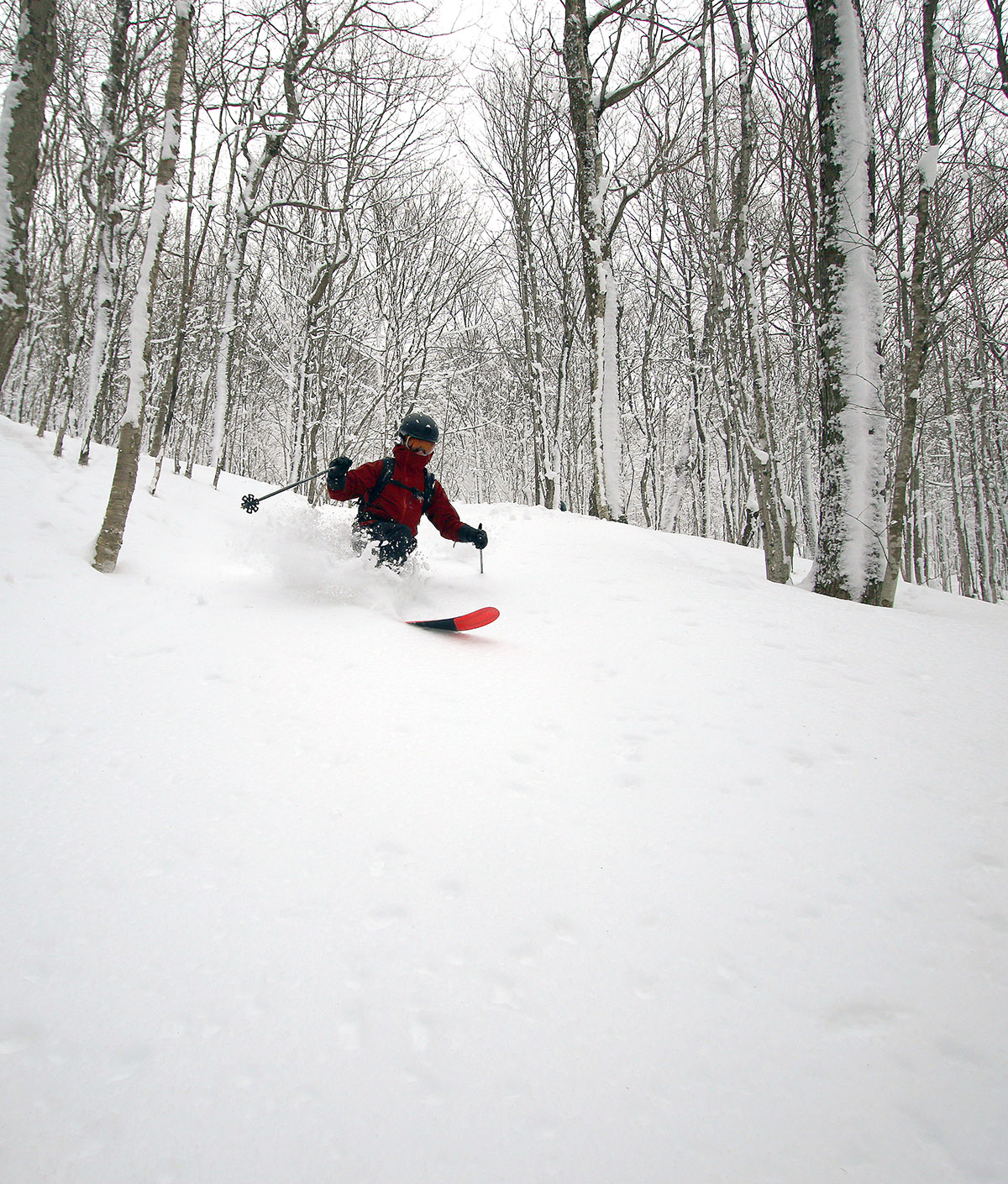
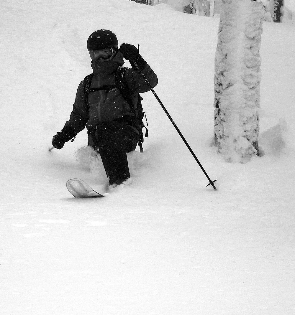
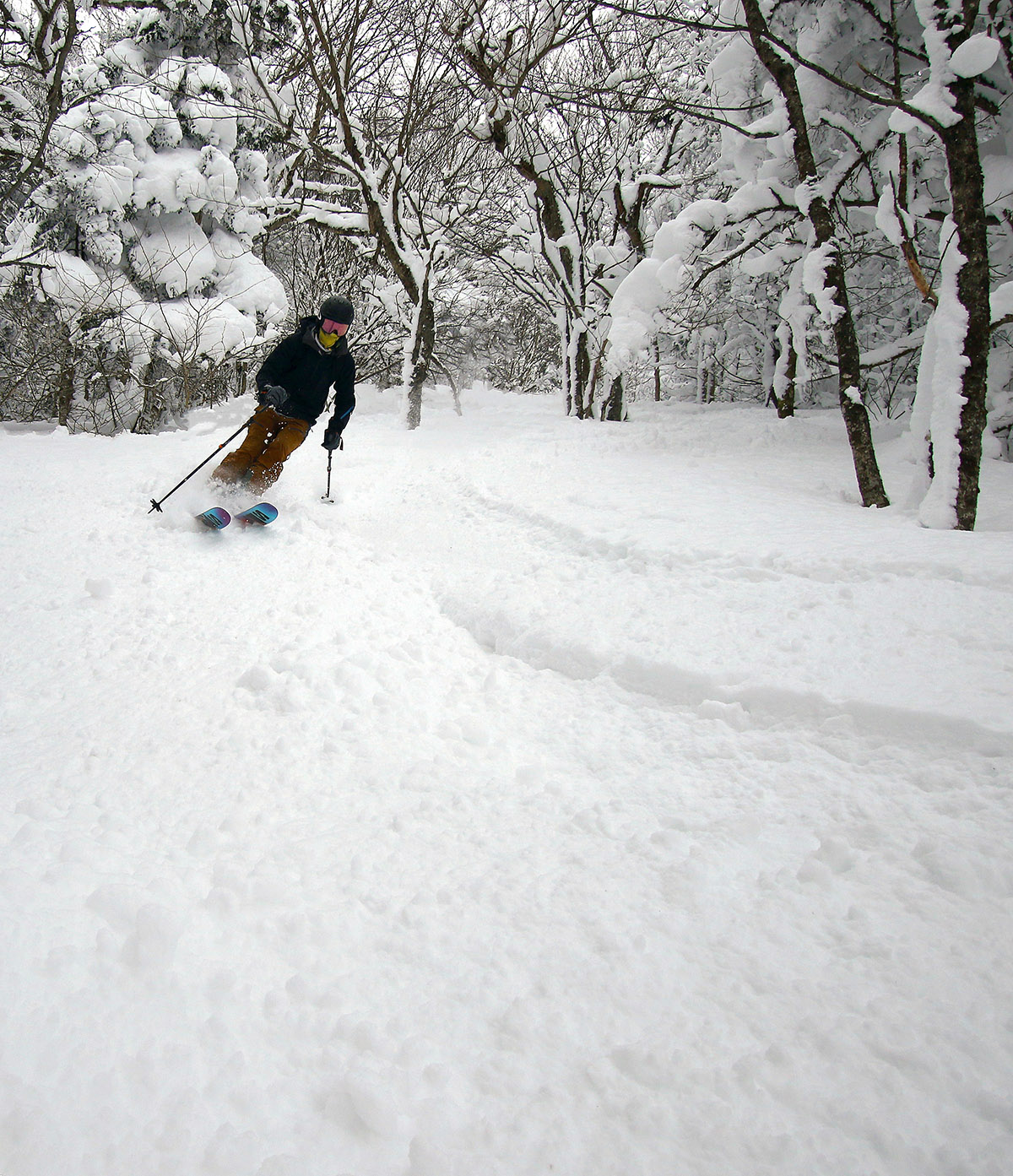
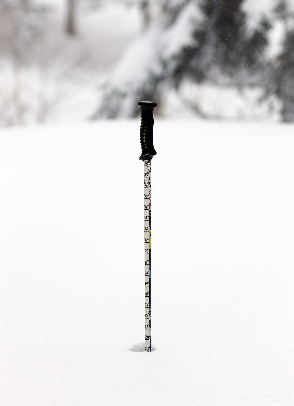
I can’t throw out huge accolades with respect to the quality of the powder skiing on today’s tour though. It was extremely good yesterday, but it really seems to have taken a step back today. I’d say the drop in the quality of the powder I found available was due to a combination of the new snow, which really wasn’t incredibly dry (up in the range of 8% H2O according to my analyses down at the house), and the cold temperatures making for poor gliding. The powder was just sort of slow and clunky, and it lost that perfect right-side-up nature that it had yesterday. Low and even moderate angle terrain just didn’t provide enough speed for turns, and even steep terrain was just so-so. I bet the powder will improve a lot even by tomorrow though – it’s supposed to be substantially warmer, which will help with some glide, and some of the snow’s natural setting and drying will probably start to reset the density gradient. For those considering lower-elevation tours in the near future, base depths were fine throughout today’s route in the Bolton Valley area. I’d say there was a minimum of 12 to 18 inches down at 1,200’, which is fine as long as you’re on the low angle terrain that is typical of the starting points for many routes. My tour topped out around 2,400’ today, and up there I was getting snowpack depths of 30 to 35 inches. There’s a substantial base to that snowpack, and it’s well-settled snow aside from the surface 1 to 2 feet of powder, so it offered plenty of coverage for even the steepest pitches that I encountered.


