Bolton Valley, VT 20JAN2023

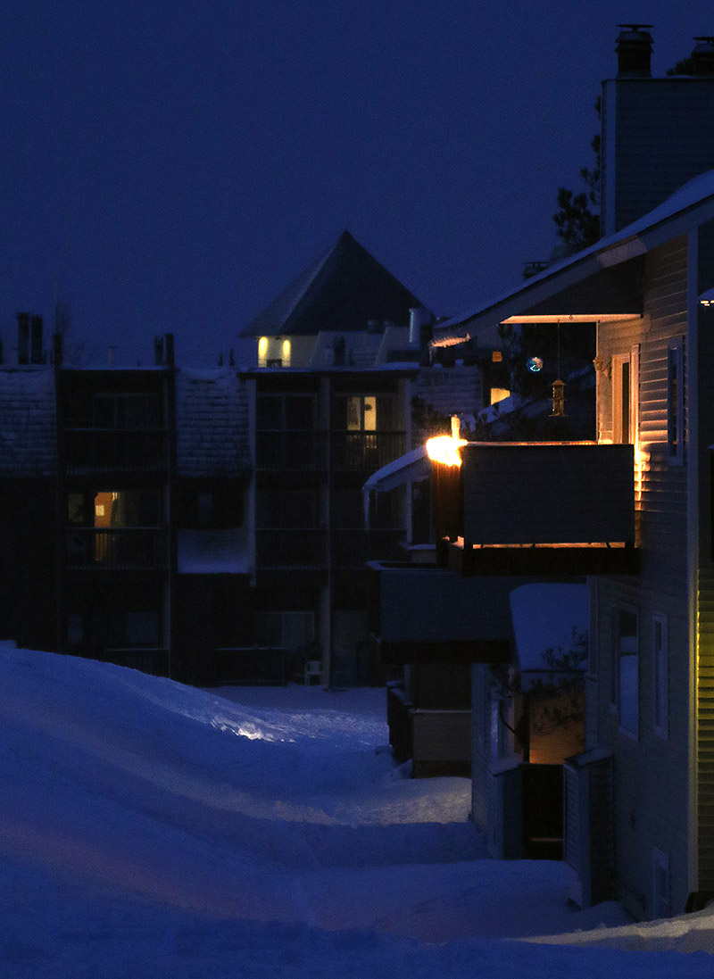
An image of some of the condominiums and the hotel at the bottom of the Wilderness Double Chairlift around dusk in the Village area at Bolton Valley Ski Resort in Vermont
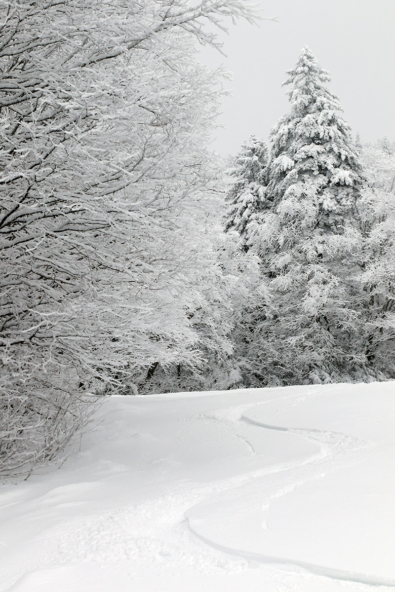
An image of the Wilderness Double Chairlift in the late afternoon with snows from Winter Storm Iggy at Bolton Valley Ski Resort in Vermont
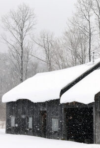
A snowy view of the Wilderness Chair greets me today as i begin a late afternoon ski tour to check out the recent snows from Winter Storm Iggy.

As expected, Winter Storm Iggy came through and transformed the ski conditions in the local mountains this weekend.  A survey of the Vermont ski area snow reports revealed surprisingly consistent storm totals running around 10 inches up and down the spine of the Central and Northern Greens, with lower amounts down at the southern resorts due to an influx of some mixed precipitation.

Ty was coming home from NVU Lyndon for the weekend, and with Iggy starting up Thursday evening, E was able to pick him up late that afternoon because he didn’t have any Friday classes.  The timing was perfect because they got home just ahead of when the flakes started falling, and it was a great example of the utility of accurate winter weather forecasting.

“All in all I’d describe the turns as mostly bottomless, quite surfy, and that powder was all atop that bomber base that was present from the previous storm cycle, so you could really have confidence in what was below the new snow.”

Dylan and Colin only have one early class on Fridays, so after they were done with that, Ty joined them, and the three of them headed up to Bolton for some turns.  They scored quite a day with the fresh snow and minimal midweek visitors on the slopes.  They had such a blast that after coming home, eating dinner, and watching some GoPro videos from the day, they switched up to some different gear and went back out for night skiing until last chair.

I didn’t have a chance to head out earlier in the day today, but I did get up to the mountain with about an hour of light left, so went for a tour on Wilderness to check out all the new snow.  The storm was still ongoing, but at that point I found the following surface snow depths:

2,000’: 6”
2,500’: 7-8”
2,800’: 8-9”

An image of snowflakes in a street light during Winter Storm Iggy in the Village parking lot at Bolton Valley Ski Resort in Vermont
One of the street lights in the Bolton Valley Village parking lot illuminates the snow from Winter Storm Iggy as darkness falls this evening.

I decided not to tour all the way to the Wilderness Summit because I was losing daylight, but the quality of the powder I encountered was excellent.  I was surprised to find that I could feel a difference in snow density below about 2,500’, but it was fairly subtle and the turns were really great from top to bottom.  All in all I’d describe the turns as mostly bottomless, quite surfy, and that powder was all atop that bomber base that was present from the previous storm cycle, so you could really have confidence in what was below the new snow.

Bolton Valley, VT 14JAN2023

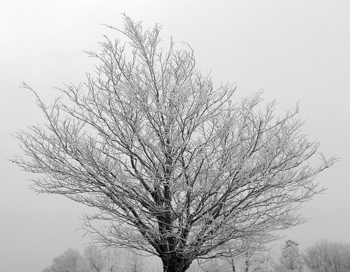
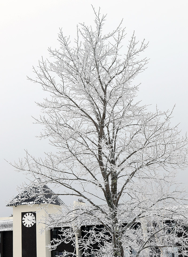
An image of a tree covered in snow and rime after a recent winter storm at Bolton Valley Ski Resort in Vermont
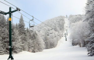
An image of the upper part of the Wilderness terrain pod at Bolton Valley Ski Resort in Vermont
With the dense snow put down by out most recent winter storm, it looks like much of Bolton Valley’s terrain would be set to open with the help of one more wintry system.

I hadn’t been up to the mountain since that fantastic period of skiing from mid-December through the holidays; no major winter storms had come through the area since Winter Storm Elliot, and the skiing just hadn’t seemed good enough to pull me away from other things.  That changed with this most recent storm though – Bolton’s snow report from this morning indicated that they’d picked up half foot of new snow in the past couple of days.  Although the storm did contain mixed precipitation, it delivered 1.33” of liquid equivalent down here at our site in the valley, with most of that as snow/frozen.  Assuming the local mountains exceeded that as they usually do, that’s a storm cycle that has all the makings of a solid resurfacing/base building event.

“…I gave the typical on piste conditions a rating of 2 on a 0 to 10 scale, but I have pretty high snow quality standards…”

With this latest storm, Bolton Valley indicated that the Wilderness Uphill Route was officially open again, which is a good sign that there had been a substantial addition to the snowpack.  My observations from today while I was out touring definitely reinforced that notion.  With the effects of this most recent storm, the base snow is actually so dense that I couldn’t do any depth checks, but I’d say you’re looking at probably a foot of base depth at the 2,000’ level.  If the snow density is that same as what I’ve cored down here at our site in the valley, that would have about 2 inches of liquid equivalent in it.  Since the snowpack is just too dense to do any easy depth readings, I don’t have an estimate for the increases of snowpack depth with elevation.  The Mt. Mansfield Stake up at 3,700’ is indicating a snowpack depth of 20 inches as of today though, so I’d assume you’re looking at something in that range once you’re up at the local summit elevations above 3,000’.

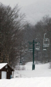
An image of the Wilderness Double Chairlift during a ski tour at Bolton Valley Resort in Vermont
A view of the Wilderness Chair while out on today’s ski tour

In terms of the skiing, I wasn’t really expecting much real powder with how dense the snowfall was from this past storm; my tour was really a chance to get out for some exercise and see how the off piste snowpack and snow surfaces were looking.  I only found about an inch or so of lighter snow above the base, and that was pretty consistent at all elevations in the 2,000’ to 3,000’ range.  Snow coverage of the natural terrain is actually quite good though with that impressively dense base, and Lower Turnpike with a good amount of skier-packed areas has great wall-to-wall coverage.  Steeper terrain with ledges, obstacles, and wind scouring/drifting is not as consistent in its coverage, but the base snow is just so dense that most of the natural terrain is going to be good to go with the next decent storm.  The best snow quality I found was actually in natural snow areas that had been skier packed, since areas of undisturbed/unpacked snow still held the potential to punch through the uppermost layers of the base.  On my descent I definitely employed a mix of alpine and Telemark turns, and the safety of alpine turns with that full width of surface area for both skis in the center was the way to go when navigating snow that hadn’t been packed by skiers.

I stuck around for some lift-served skiing since I’d seen that Alta Vista had been opened, and I think it had seen some of the more recent snowmaking, because it had some of the best conditions I found.  The best snow by far was what people had pushed to the side, but the main surface was better than elsewhere.  Most of the on piste surfaces were typical of what you’d expect for manmade snow that had seen lift-served skier traffic, so really nothing to note in terms of quality.  When I got home and Dylan asked me about the conditions, I gave the typical on piste conditions a rating of 2 on a 0 to 10 scale, but I have pretty high snow quality standards, so he knows where a value of 2 would stand.  Even without any big storms over the past couple of weeks, the resort has been expanding their terrain with runs like Spillway, and they were blowing snow on Hard Luck as well.  The recent snow was substantial enough that even some natural snow terrain had been opened.  Surprisingly, they don’t have to lower areas of Wilderness open yet to lift-served access, which is pretty typical under these conditions, but they would need to groom it first, so that may take some extra time.

Even if the snow quality isn’t there yet in terms of typical Northern Greens surfaces, it was definitely nice to get back on the slopes after the break.  We had light snow falling during the morning with some blue skies, and some nice snow/rime on the trees.  With that base in place, terrain is likely to expand heavily if these next couple of potential systems in the coming week deliver any substantial snow.

An image of a tree covered in snow and rime, as well as the clock tower at the Village circle after a recent winter storm at Bolton Valley Ski Resort in Vermont
Another beautiful rime-covered tree with the clock tower in the background at the Bolton Valley Village Circle

Bolton Valley Nordic & Backcountry, VT 29DEC2022

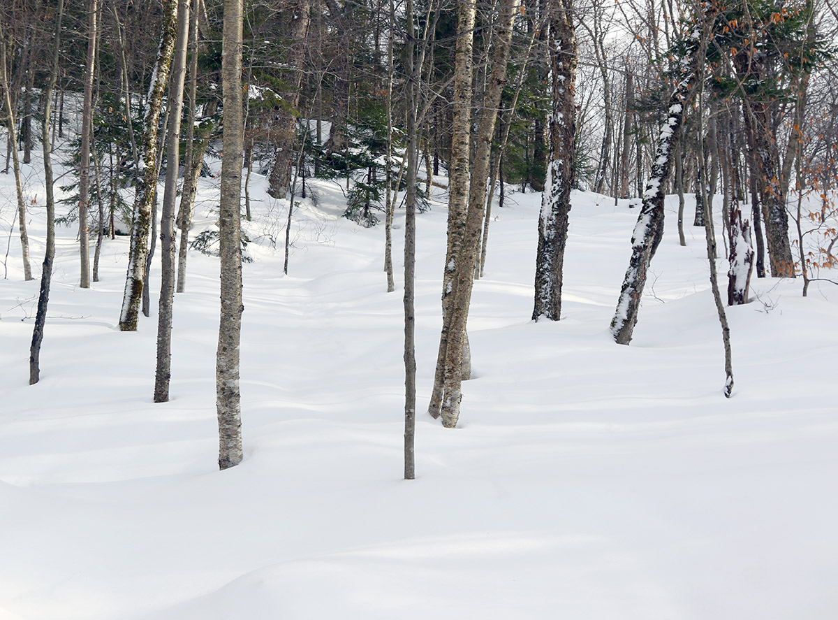
An image of one of the glades in the Holden's Hollow area on the Nordic and Backcountry Network at Bolton Valley Ski Resort in Vermont
An image of a frozen river while on a ski tour of the Nordic and Backcountry Network at Bolton Valley Resort in Vermont
A frozen river view out on my tour of the Bolton Nordic and Backcountry Network today

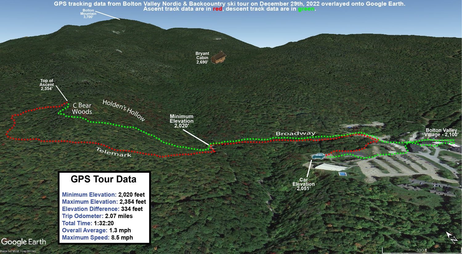
I wasn’t exactly sure where on Bolton’s backcountry network today’s ski tour was going to take me, but my plan was to start with an ascent up to the start of the C Bear Woods, and then go from there.  I haven’t toured in that part of the Network yet this season, but the ridgeline there tops out around 2,400’, so starting in the lower Village, it would give me a good sampling of the snowpack in the 2,000’ to 2,400’ elevation range.

For my tour back on Monday on some of the lower sections of the Network I topped out around 1,800’ and generally found 6 to 12 inches of powder, and the tenor of the powder skiing was that something with a bit more pitch would be appropriate for the snow depth.  With continued rounds of snow accumulation over the past couple of days (and an additional 2 to 3 inches reported in the past 24 hours at Bolton as of this morning’s update), I figured the powder might even be a notch up from where it had been at that point.

It was midmorning by the time I arrived at the Village, and temperatures were very comfortable in the lower 30s F.  Being the big holiday week, the resort was really humming, and they were already parking folks in the lower Nordic Center parking lot.  That worked out well for me though, since it’s right on the Broadway Trail that links in nicely with the heart of the Backcountry Network.

A winter image from the Joiner Brook bridge area on the Nordic and Backcountry Network at Bolton Valley Ski Resort in Vermont
A view during today’s tour down by the Joiner Brook bridge showing the snowpack from recent storms

Around 2,000’ in the open areas of the Village, the depth of the surface snow was quite variable between the effects of the wind and sun, but in general I found 5 to 6 inches of powder over a consolidated base.  There wasn’t any obvious rain crust, but there was a denser layer below the powder.  That layer generally wasn’t present in the trees, so I assume it was from wind and sun.  Up at 2,400’ I’d say powder depths were about the same as what I found in the 1,500’ to 1,800’ elevation range on Monday, so between additional accumulations and settling, I guess things roughly held pat at that level.  The pitches near the top of the ridge there are up in the black diamond range, and I think the uppermost parts of the ridgeline were a bit windswept because the snowpack wasn’t sufficient for confident turns in that area.  Noticing that, I headed southward to the right of the main C Bear Woods entrance into some other areas of glades to shallow out my overall run.  Intermediate pitches offered nice turns, and the snowpack easily supported that type of skiing.  The best turns of that descent were in the lower slopes among the moderate and lower angle pitches as I got back toward Brook Run.

I’d left the option open to extend my tour up toward some of the Bryant Trail terrain, but it was approaching midday and the powder was already started to get denser and a bit sticky as the temperatures pushed above freezing.  As I headed to the main base area, it was turning into a fantastic day with breaks of sun and temperatures moving into the 30s F.  That’s a pretty nice combination for the holiday visitors to have comfortable temperatures and some decent snowpack, and it will be interesting to see how this holiday week plays out overall for visitation at the local resorts.  It’s been pretty sweet to have some daily refresher snowfalls recently to bolster the snowpack, and the snow reports I’ve seen from the resorts around here have indicated that it’s been allowing them to continue to open new terrain and expand the trail count.  Visitors to the slopes should generally be treated to some comfortable temperatures for the remained of the holiday week, which I think many would take over the subzero spells that can often occur around the start of the new year.  It looks like anyone going out on Sunday might have to dodge a bit of rain though based on the current forecast.

This may be one of the nicer holiday week’s we’ve had recently in terms of the quality of the skiing.  Looking at my notes, I’ve had a half dozen backcountry ski tours in about the past ten days, and that’s pretty decent because sometimes the backcountry doesn’t even get rolling until January or February.  On average, it should get going (at least on low and moderate angle terrain) in mid-December here in the Northern Greens, but the past three seasons haven’t hit 24 inches at the Mt. Mansfield Stake until January.  Technically, the stake only hit the 24-inch mark for the first time this season on Tuesday, but it’s been hovering in the 20-inch range since mid-month when Winter Storm Diaz hit, and the snowpack came together in such a way that those 20-ish inches were sufficient to put a lot of the local backcountry terrain in play for quality turns.

A Google Earth map with GPS tracking data from a ski tour on the Nordic and Backcountry Network at Bolton Valley Resort in Vermont
A Google Earth map with GPS tracking data for today’s ski tour out on Bolton’s Nordic and Backcountry Network

Bolton Valley Nordic & Backcountry, VT 26DEC2022

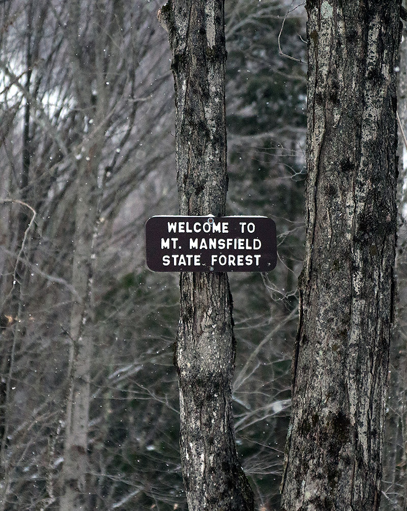
An image of the Mt. Mansfield State Forest sign on the Broadway trail entering the Nordic and Backcountry Network at Bolton Valley Ski Resort in Vermont
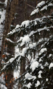
An image of snow on evergreens during a ski tour on the Nordic and Backcountry Network at Bolton Valley Resort in Vermont
Enjoying some of the snow on the evergreens along the route of my backcountry tour today

I hadn’t been out to the mountain since Winter Storm Elliot finished up, and although it was a mixed system in terms of precipitation, I was encouraged by how it played out for the local snowpack.  The storm brought roughly 8 inches of snow to our place down in the valley, and represented a net gain in both snowpack depth and snowpack liquid equivalent.  Bolton Valley was reporting 12 inches of new snow from the system, so the mountains must have fared at least as well as the valleys.

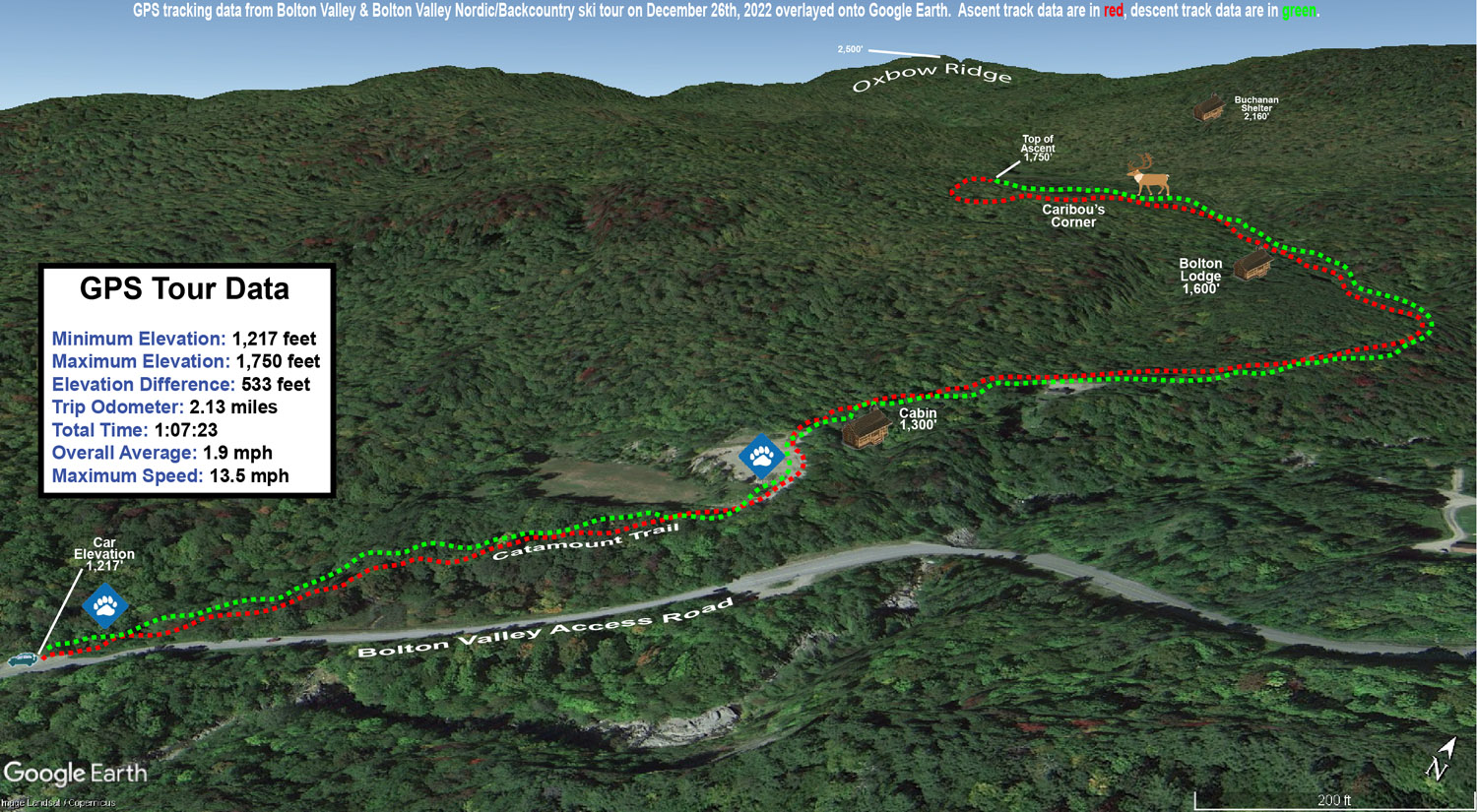
With some rain during the middle part of the system, I was wondering about the condition of the snow surfaces, so today I decided on a relatively low angle tour on the Bolton Valley Backcountry Network to get a feel for how the new snow had settled in.  I started at the Catamount Trail access point on the Bolton Valley Access Road, which is down around 1,200’, and toured up to around the 1,800’ elevation a bit above Caribou Corner.  Those are relatively low elevations overall, and 1,200’ is below even the Timberline Base, so it would certainly be a challenging stress test to speak to the quality and utility of the snowpack.

At 1,200’ at the parking area I found about 4 to 5 inches of powder above the base snow, and most notably, I couldn’t really find a rain crust.  There was a clear demarcation between the consolidated base and the surface snow, at least around the parking area where the snowpack is a bit more exposed to snow maintenance and sunshine.  The depth of the powder quickly increased as I ascended, and by about 1,500’ I was easily finding 6 to 12 inches of powder.  It became hard to judge the depth of the surface snow though, because I typically couldn’t even find an interface between the new snow and the underlying snowpack; the wetter precipitation from the storm must have either drained well or transitioned smoothly to snow.  I’d say total snowpack depth was probably around 10 to 12 inches at 1,200’ and 12 to 16 inches at 1,800’, but there’s plenty of substance to it, so it’s quite skiable up to moderate angles in maintained areas, and obviously it’s going to be notably deeper up above 2,000’.

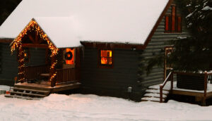
An image of a cabin during a ski tour on the Nordic and Backcountry Network at Bolton Valley Ski Resort in Vermont
A snowy view of a cozy cabin along the route of my ski tour today

In terms of the skiing, the powder was actually too deep for the lowest angle sections on the tour, and I’d have to use existing skin tracks or other skier tracks to maintain or pick up speed.  The next tier of pitches skied great with the snow though.  I typically like that tour up to Caribou Corner when there’s about 4 to 6 inches of powder over a consolidated base, so this really was a bit deeper than that, and I’d say folks should move on up to moderate angle terrain for the best backcountry turns, especially with additional snow falling over the next couple of days.  There was light snow falling during my tour in the form of those big fluffy flakes, and I see that the resort reported an inch of new this morning.

The season snowfall seems roughly on track at our house observations site as of Christmas.  Snowfall to date on the 25th was 40.1” vs. a mean of 40.4”, and snowpack depth at 10.5” was a few inches above average.  The SDD for the season were a little behind average pace at 146.5 SDD vs. the 162.2 SDD average.  I can see in the data that the SDD deficiency is largely due to that slow first half of December, because we were still ahead of average SDD as of the end of November, and then the pace started to fall off before picking up again in the second half of the month.

A Google Earth map with GPS tracking data of a ski tour on the Nordic and Backcountry Network at Bolton Valley Resort in Vermont
A Google Earth map with GPS tracking data for today’s ski tour out on Bolton Valley’s Nordic and Backcountry Network

Bolton Valley Nordic & Backcountry, VT 21DEC2022

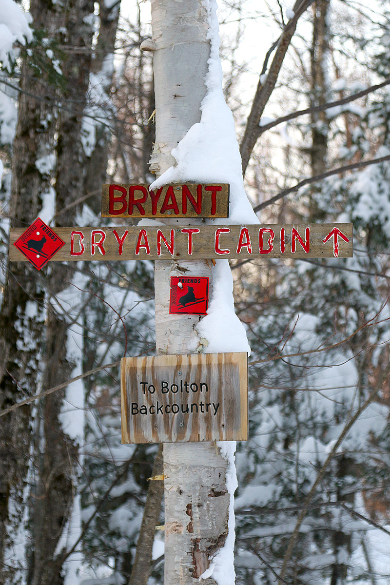
An image of signs for the Bryant Trail, Bryant Cabin, and Bolton Backcountry at the start of a ski tour on the Nordic and Backcountry Network at Bolton Valley Ski Resort in Vermont
An image of a snowcat covered with snow during the Christmas holiday period in the Village area at Bolton Valley Ski Resort in Vermont
Enjoying the holiday sights at dusk in the Bolton Valley Village after my backcountry ski tour today

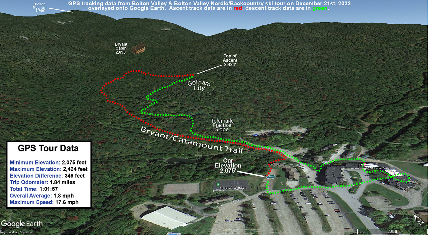
Today I went for another solo tour on the Bolton Valley Backcountry Network, and I decided to check out the Gotham City area since I hadn’t been there yet this season.  Prior to this point we’ve been pretty spoiled with fresh snow every day since the start of Winter Storm Diaz, so you could detect just the subtlest bit of settling/aging to the powder and snowpack in general.  That’s splitting hairs of course because the powder was still deep and bottomless, and you’d probably only notice if you’d been paying very close attention to the feel of the snowpack over the preceding days.  There were also a few more tracks around since there hadn’t been that fresh dose of powder to cover them up.

A Google Earth map with GPS tracking data from a ski tour on the Nordic and Backcountry Network at Bolton Valley Ski Resort in Vermont on December 21st, 2022
A Google Earth Map with GPS tracking data from today’s ski tour on the Bolton Valley Nordic and Backcountry Network

Bolton Valley Nordic & Backcountry, VT 20DEC2022

An image showing recent December snow covering tree branches and structures in the Bryant Cabin area of the Nordic and Backcountry Network at Bolton Valley Resort in Vermont
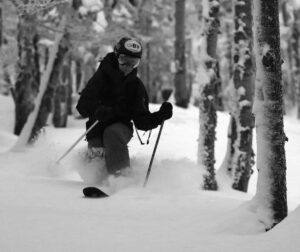
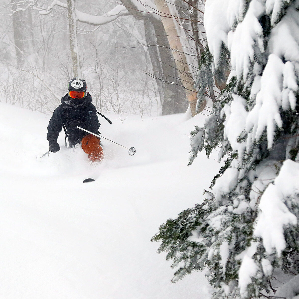
An image of Ty Telemark skiing powder from Winter Storm Diaz in some of the glades on the Backcountry Network at Bolton Valley Ski Resort in Vermont
Ty out in some of Bolton’s Backcountry Network glades today enjoying the powder from Winter Storm Diaz and the additional rounds since then

It’s continued to snow over the past couple of days, and we’ve had another 3 to 4 inches of snow down here at the house that’s come in with an average density of around 4% H2O.  The back end of Winter Storm Diaz had already topped off the snowpack with some dry upslope, so we expected that these additional rounds of snow should just represent more quality stuff that’s topping off the upper layers of powder that are already present.  Ty and I headed out for a tour this afternoon that took us a bit above Bryant Cabin, and we skied a good variety of different glades that really solidified just how good the skiing was.  The shallowest slopes are still a bit slow with the depth of the powder, but very nice if you want a gentler pace that lets you work in and out among tighter trees.  As we’d already experienced back on Saturday at Wilderness though, the steep and moderate slopes are skiing great.

An image of some of the snow accumulations up around 2,800 feet in elevation on December 20th, 2022 on the Nordic and Backcountry Network at Bolton Valley Ski Resort in VermontIt’s amazing how one storm simply brought the backcountry conditions from very early season stuff that I hadn’t even contemplated skiing, to something that skis like a top notch midwinter snowpack.  And it’s not as if this last storm cycle was a 3 to 4 foot monster.  The snowpack we were skiing today is only in the range of about 20 inches, but apparently it’s just laid down so well that it does the job.  I’m sure there are steep slopes out there with lots of big obstacles that are nowhere near ready, but the typical glades we skied on the Bolton Valley Backcountry Network today were in great shape.

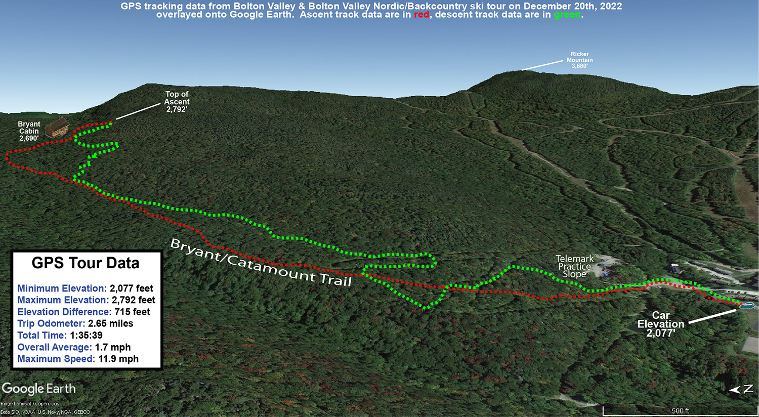
A Google Earth map with GPS tracking data from a ski tour on December 20th, 2022 on the Nordic and Backcountry Network at Bolton Valley Resort in Vermont
A Google Earth map with GPS tracking data from today’s ski tour out on the Bolton Valley Nordic and Backcountry Network.

Bolton Valley, VT 17DEC2022

An image of Ty skiing fresh powder on from Winter Storm Diaz on the Bolton Outlaw Trail at Bolton Valley Ski Resort in Vermont
An image of Ty skiing powder on the upper slopes of Wilderness after Winter Storm Diaz at Bolton Valley Ski Resort in Vermont
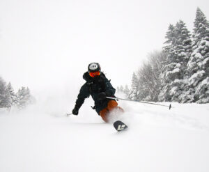
Ty Shredding some of today’s fresh powder on the upper slopes of the Peggy Dow’s run at Bolton Valley. Winter Storm Diaz dropped a good 16 inches of fresh snow on the upper slopes of Bolton, and the wind direction was perfect to avoid the scouring often seen on the upper pitches of Wilderness.

Since Winter Storm Diaz dropped another good shot of snow overnight, our plan yesterday was to head up to Bolton for more lift-served skiing.  Making a final check on the snow report before heading up though, I discovered that the resort had lost power like a lot of other spots around the area.  With that news, and the announcement that the Wilderness Uphill Route was open, we switched our plans over to ski touring at Wilderness.  When we got to the resort, power was back on and the lifts were running, but since we’d already taken the time to gear up for it, we stuck with the ski touring plan since it held the potential for a lot more untracked snow anyway.

A snowy chair after Winter Storm Diaz at the base area of Bolton Valley Ski Resort in VermontWith the existing base snow from ahead of the storm not entirely consolidated, it was tough to get a sense for how much new snow the resort had picked up specifically from this cycle.  But, we were able to get total snowpack depths, and with repeated measurements by both Ty and me, we came in with total settled depths of 16” at 2,000’ and 20” around 3,000’  The resort updated their storm accumulations and reported 12” new at 2,000’ and 16” new at 3,000’, so that fit perfectly with what our measurements were suggesting.

The skin track  Wilderness Uphill Route was nicely set from previous traffic, and there were actually two tracks that let us skin side-by-side for easier conversation.  Traffic on Lower Turnpike had been moderate, and we counted about 20 descent tracks.  I wasn’t sure if we were going to go all the way to the Wilderness Summit depending on how scoured the upper elevations were, but with a lot of the flow with this event coming from the east, there was essentially zero drifting even at the highest elevations, so that set up some potentially great skiing on the upper slopes.

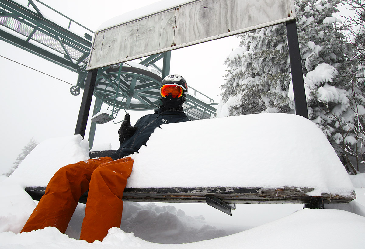
An image of Ty sitting on a bench with snow at the Wilderness Summit at Bolton Valley Ski Resort in Vermont
Ty enjoys a snowy seat this afternoon at the Wilderness Summit

The snow from this storm cycle certain fell right-side-up, and there was a lot of substance to the lower layers, but it skied DEEP.  We quickly discovered that even on 115 mm fat skis, low and moderate angle pitches just didn’t cut it.  You had to hit black diamond pitches or higher, and once you did, the powder skiing really rocked.  We hit the steepest pitches we could find, like the upper slopes of Peggy Dow’s and the Cougar Headwall, and even when we tried to test the limits of the snowpack by attempting to get down to the ground on turns, you just couldn’t.  We picked up about 1.30” of liquid equivalent from this storm down at our site in the valley, so the mountain must have had at least 1.50” of liquid atop the previous base.  I’m not quite sure how this storm brought the slopes to an almost midwinter feel in terms of substance and coverage, but the combination of liquid equivalent, right-side-up snow, and whatever existing base there was, just hit the sweet spot to make that happen.

An image of Ty Telemark skiing in deep powder from Winter Storm Diaz on the Bolton Outlaw Trail at Bolton Valley Ski Resort in Vermont
Ty dropping into some powdery Telemark turns on Bolton Outlaw

When we were about halfway through our first descent and only had moderate and lower angle terrain below us, I suggested we stop the descent there and hit the Wilderness Summit again to try Bolton Outlaw for our next descent.  Bolton Outlaw is quite steep with a lot of obstacles, and it often gets scoured and/or skied enough to make coverage an issue, but from what we’d seen of it, and what we’d experience with the skiing up to that point, it seemed like it might be just the ticket.  And it was – it had just the pitch we needed, and coverage was too good to be true.  Each time I’d come over a rise and over a ledge I’d expect to hear a rock, or a log, or something under my skis… but that just didn’t happen.  We’re of course talking touring levels of skier traffic here, but whether you were skiing packed or untracked snow, you just didn’t break through to whatever was below.  It’s still hard to figure out how the coverage got so good without a real consolidated base below, but I’d put it right up there with some of the best runs we’ve had on Bolton Outlaw during any part of the season.

Bolton Valley, VT 16NOV2022

An image of ski tracks in fresh powder snow from a winter storm in November at Bolton Valley Ski Resort in Vermont
An image of a car rooftop cargo box amidst a November snowstorm up at Bolton Valley Ski Resort in Vermont
With the recent shift to colder temperatures in the area, ’tis the season for cargo boxes and snowfall up at Bolton Valley.

Our first widespread winter storm of the season came into the area this morning, and I had a chance to stop by Bolton Valley this afternoon to check out the snow.

Here’s the snow depth profile I found in the midafternoon timeframe:

340’: 2-3”
1,000’: 3”
1,500’: 4”
2,000’: 6-7”
2,500’: 7
3,000’: 8-9”

The settled snow depths depended heavily on the underlying surface – grassy areas that insulated the snow from the ground tended to have a couple more inches of depth, so it really seemed like there was some consolidation/melting due to warm ground.

An image of snow falling during a November snowstorm  at Bolton Valley Ski Resort in Vermont
Snow falling in the Bolton Valley Village this afternoon

Even at 2,000’ in the Bolton Valley Village area it edged above freezing this afternoon, and it was somewhere in the 2,700’ elevation range where temperatures finally dropped below the freezing mark.  The snow above the point was much less consolidated, so the snow below that elevation is actually better set up to serve as a base.  Liquid equivalent thus far at our house for this storm is 0.70”, so the mountain should be somewhere in that range or higher.

The most notable jump in accumulations was between 1,500’ and 2,000’, and perhaps somewhere between there was when consolidation jumped a lot due to the temperatures.  The increase in depth was really quite slow above 2,000’, and it was hard to see much of a change until I hit the freezing line around 2,700’ – the depth got a bump there because above that point it was still quite dry and hadn’t seen any consolidation.

An image of snow accumulations on a van during  a November snowstorm  at Bolton Valley Ski Resort in Vermont
Afternoon accumulations of snow in the Bolton Valley Village area today

The freezing line was dropping as the afternoon wore on, and backside snows had started up rather vigorously when I was heading home.  That snowfall appeared to be confined to the higher elevations around here though, because I haven’t seen any back side snows yet down here at our house.

Stowe, VT 01MAY2022

An image showing some of the Mount Mansfield ski trails from near the summit of Spruce Peak at Stowe Mountain Resort in Vermont
An image of the Main Street trail on a May ski outing at Stowe Mountain Resort in Vermont
A view of some of the spring snow on Main Street today during my ski tour

While Friday turned out to be a bit too cool and breezy to really soften up the slopes around here, and yesterday didn’t seem much better, today saw more warmth and sunshine as the forecast had suggested.  Mother Nature really wasn’t messing around, with temperatures moving up into the 60s F, a cloudless sky, and the disappearance of those persistent winds.

An image of the Chin of Mt. Mansfield in Vermont as viewed from the Moscow area
The Mt. Mansfield Chin poking up in the background from the Moscow area

There was no question about whether or not the snow was going to soften up today, so I decided to head to Stowe for some afternoon turns.  I hadn’t been to the general Stowe area in a while, but the usual views of Mansfield started to appear as I headed through Waterbury Center, and the alpine terrain was certainly lit up in the May sunshine.

I’d hoped that the south-facing terrain of Spruce Peak still had enough coverage to provide some nice uninterrupted turns, and indeed as I approached the resort I could see that the Main Street area and surrounding trails still had nearly continuous snow down the base of the Sensation Quad.

With the route I took on the lower part of the mountain, I ended up hiking about 1/3 of the ascent, and then skinning the final 2/3.  I was initially questioning my decision to bring skins as I navigated the lower slopes, but once I hit the point where I started skinning, it was definitely the right choice in terms of efficiency; the upper slopes of Main Street have so much snow that it would take more effort to find dry areas for easier hiking.

In terms of the skiing, it was far superior to what I had experienced on Friday.  The warmth and sun took care of getting the spring snow into something that was definitely worthy of turns.  It wasn’t perfect, because there were still some sticky areas from recent snows on terrain that hadn’t seen the sun and/or skier traffic, but those were generally avoidable by skiing the sunnier sides of the trails.

With such a gorgeous day, I was surprised that I didn’t see a single other skier out there during my entire tour on Spruce.  I did see two other cars when I first arrived at the MMSC Clubhouse parking lot, but they were just hikers.  I saw them finishing up their hikes while I was ascending, and the entire parking lot was empty when I got back to my car.  Everyone must have been skiing over at Mansfield!

An image of a single car in the parking lot of the Mount Mansfield Ski Club during a May ski outing at Stowe Mountain Ski Resort in Vermont
The Mount Mansfield Ski Club parking lot where I parked today was just about empty.

Bolton Valley, VT 29APR2022

An image showing a view westward toward The Champlain Valley, Lake Champlain, and the Adirondack Mountains of New York during a spring ski tour at Bolton Valley Ski Resort in Vermont
An image of the Sherman's Pass trail area near the end of the ski season at Bolton Valley Ski Resort in Vermont
A view of Sherman’s Pass out on my ski tour at Bolton Valley today – snow coverage is still decent with a few breaks here and there.

As it’s been for the past few days, it was quite windy today in the Champlain Valley, but with partly cloudy skies providing some sun, and the temperatures getting into the 50s F, it seemed like there might be enough warmth to make the slopes worth a visit.  That thought was tempered somewhat as I headed into the mountains on the way home; the skies became notably cloudier, and the temperatures felt several degrees cooler, even at valley level.  At that point I was definitely questioning if there was sufficient warmth at elevation for softening the snow, but it still felt like it was worth the quick trip up to Bolton for some turns.

On the way up the Bolton Valley Access Road, first signs of old snow snowpack were at ~1,400’, and first signs of the new snow left from our most recent storm appeared in the 1,800’ – 1,900’ elevation range.  I’d contemplated skiing at Timberline if the snowpack was continuous enough, but it’s too broken up down at those elevations to be worth it.

As expected up at the main mountain, there’s still plenty of snow for top-to-bottom turns on the main routes like Beech Seal and SpillwaySherman’s Pass seems close to continuous, but there’s at least a break or two in the snowpack there.  While the quantity of the snow is looking quite good, we’re still going to need some more warmth and temperature cycling to get the snowpack to some quality corn.  Even with Bolton’s western exposure and afternoon sun, a lot of terrain still needs some rounds of softening.  The combination of temperatures, which I guess were somewhere in the 40s F, and the cooling breeze that we’ve had the past few days, just isn’t enough to really soften the snowpack.  Granted, I was out on the mountain in the later afternoon period when the sun angle is getting lower and temperatures are starting to drop off, but it was obvious that only areas in direct sun had seen much cycling of the snow to get to appropriate quality corn, and even those areas still need work.  Heck, most of terrain above 2,000’ that was not in the direct sun, still had snow from our most recent storm earlier this week.  I toured up to about 2,500’, but didn’t push above that elevation that because it was only getting cooler and windier as I ascended, and the quality of the snow just didn’t seem to be worth it.

So while spring snow conditions weren’t quite there today, the recent snows and good preservation we’ve been seeing do bode well as we head into the next several weeks of the season.  Tomorrow’s forecast around here seems sort of similar to today’s, so I wouldn’t expect primo ski conditions, but Sunday is supposed to kick things up a notch with temperatures around 60 F and more sun.  That might be enough to get some of that south-facing terrain into good shape.