Bolton Valley, VT 12DEC2017

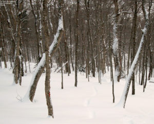
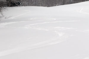
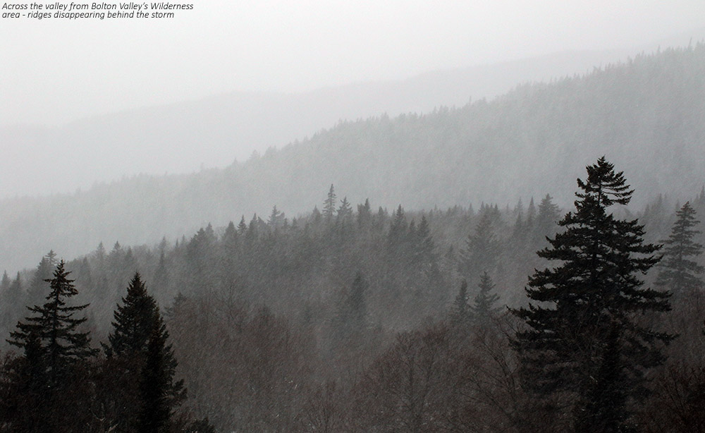
An image of ridgelines in the Bolton Valley Reosrt area in Vermont disappearing behind snow from a December storm
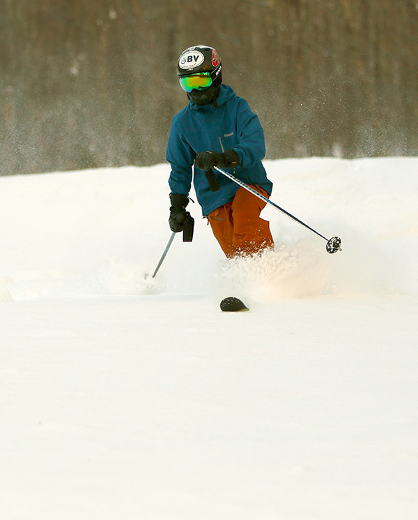
An image of Ty skiing powder during a December storm at Bolton Valley Resort in Vermont
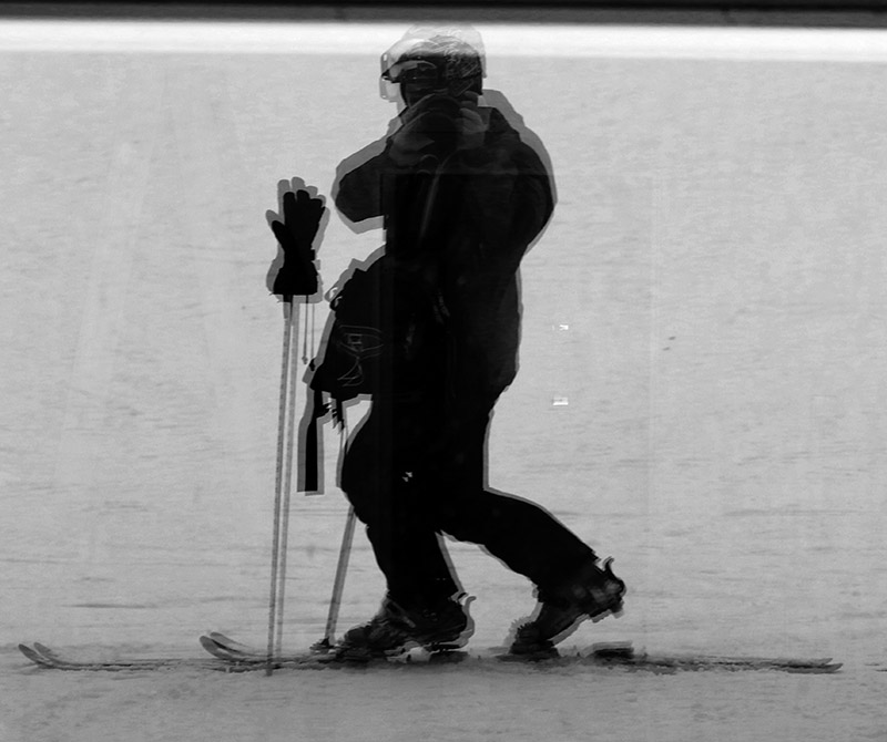
Ty catching a few Telemark turns on today’s ski tour at Bolton Valley

Due to the winter storm coming through the area today, school was cancelled for Ty, and since I had contemplated working from home due to the weather, Ty being home for the day sealed the deal.  The storm had only started up in the morning, so it would take some time before there was much new snow down for skiing.  So, I got a bunch of work done, and finally in the midafternoon, we headed up to Bolton Valley for a quick ski tour in the new snow.

“We toured in the Wilderness area from 2,100’ up to around 2,800’, and we measured depths of the new snow in the 6” to 9” range, with some spots approaching 10” near the top of our ascent.”

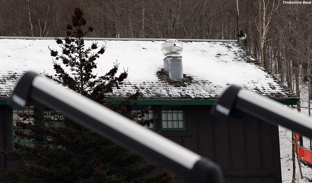
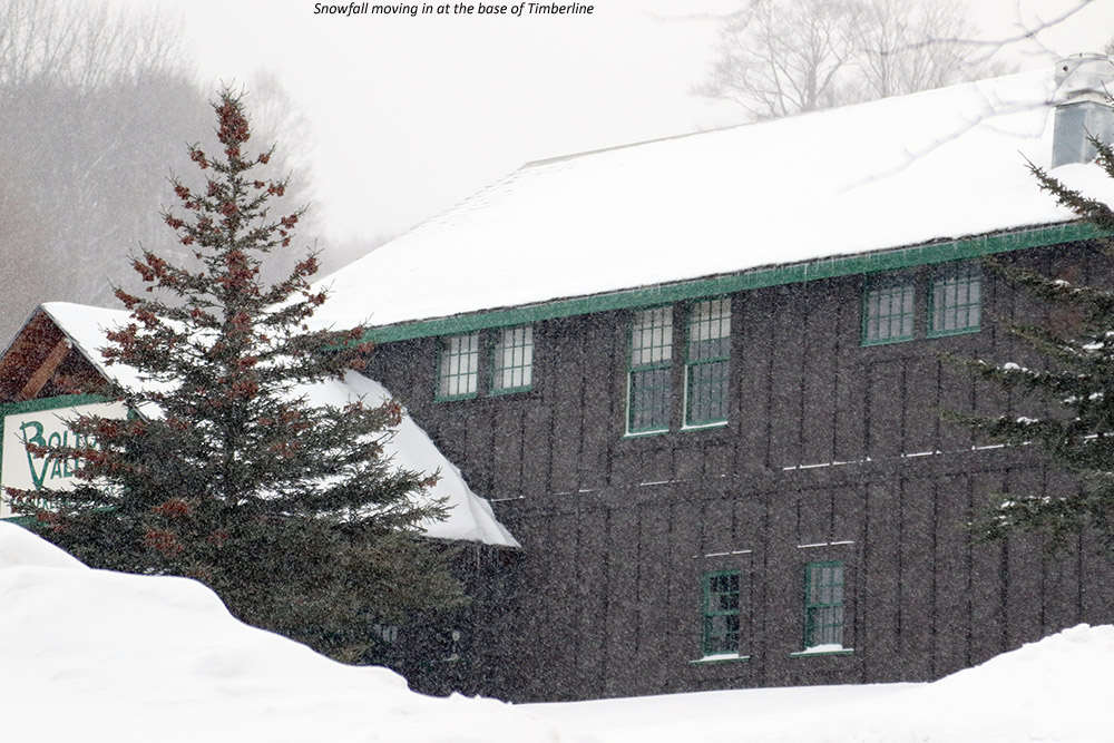
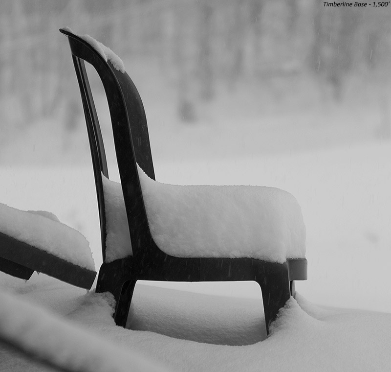
On the way up to the Village, we noted the state of the snow at the Timberline Base (1,500’) and one could certainly have made some turns there if they wanted to, but some of the taller brush was still showing so I’d say it wasn’t quite ready for prime time at that point.  We toured in the Wilderness area from 2,100’ up to around 2,800’, and we measured depths of the new snow in the 6” to 9” range, with some spots approaching 10” near the top of our ascent.  I’d say the accumulations up there at that point weren’t all that different than what we had down at the house, although the flakes were pretty small, and the powder a reasonable middle-weight variety, so I’d say they’d picked up more liquid equivalent.

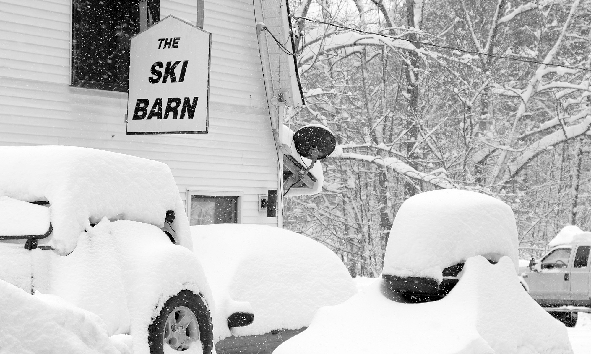
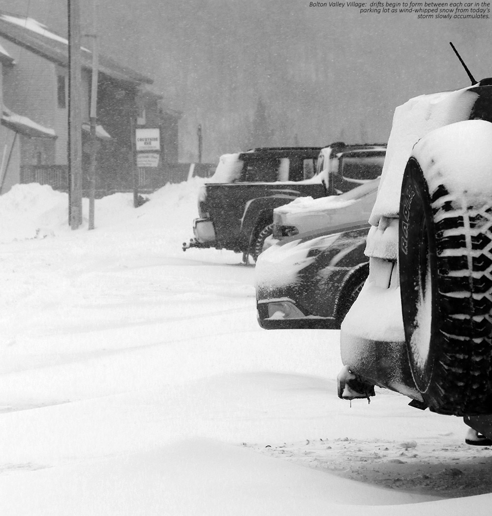
An image of snow drifts forming in the Bolton Valley Village
Drifts beginning to form in the Village

In terms of the powder skiing, although it certainly wasn’t champagne dry snow, the moderate heft to it was decent for keeping you up off the base.  At this stage of the season we can of course use some snow with plenty of liquid in it to build the snowpack, and if what’s up there gets topped with fluff form the back side of the storm, it should produce some excellent powder skiing.

“There’s something special about these deep dark December storm days though, the low light just gives them a unique feel that it’s hard to replicate at other times of the year.”

We’re into some of the shortest days of the year now, so light it as a premium, especially during a snowstorm.  I brought my brightest lens, the Canon EF 50mm f/1.2L USM, and it was definitely sufficient, but there was still a lot of snow in the air making action shots a challenge.  There’s something special about these deep dark December storm days though, the low light just gives them a unique feel that it’s hard to replicate at other times of the year.

Stowe, VT 09DEC2017

An image showing ski tracks in powder snow in the Meadows area of Spruce Peak at Stowe Mountain Resort in Vermont
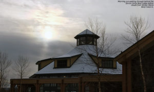
An image of the Spruce Camp Base Lodge at Stowe Mountain Ski Resort in Vermont
A view of the Spruce Camp Base Lodge today with the sun disappearing as clouds approach from Winter Storm Benji.

Today was our annual training day for the local ski programs at Stowe, and since Ty has now graduated from BJAMS and is out of the age range for being a student in the program, he’s actually going volunteer as a chaperone.  So, Ty joined E and I for the training today, which added a nice new dimension to the annual session.

“ There was one section where Ty and I decided that our midfats were definitely the tools for the job vs. our groomer skis…”

We certainly had a decent November with respect to snow in the Northern Greens, and while the snowfall slowed down a bit for the first week of December, a big change in the overall weather pattern this past week brought a large trough to the eastern U.S. and the snowfall is ramping back up.  Lake-effect snows from Lake Ontario drifted into the northern parts of Vermont in the midweek timeframe, bringing several inches of fresh snow to the resorts.  The recent snows were very obvious today at the resort, with 6 to 8 inches or more of powder available off piste at elevation, and several inches visible even near the base elevations.  The base depths aren’t quite there to do too much exploring the off piste yet, but it was easy to get into plenty of powder simply by sampling the edges of many trails.

An image showing ski tracks in powder snow in the Meadows area of Spruce Peak at Stowe Mountain Resort in Vermont
Tracks in powder showing some of the recent snow picked up by the local ski resorts

Those samplings aside, our main focus today was definitely on piste with our instructor Steve that we’ve had a few of these sessions now.  E, Ty, and I had the rare treat of checking out some fresh corduroy as we kicked off the day at Spruce Peak, and the recent snows have been mixed into the snowpack quite nicely to produce some pretty decent groomed surfaces.  We did a lot of fairly “free” skiing with Steve as he focused heavily on safety, and the minimal crowds at Spruce Peak kept the snow in really good shape.  Some terrain off the Gondola is available, so we skied Perry Merrill as a group.  Unfortunately, with only part of Gondolier open, the skier density on Perry Merrill was really too high to keep the snow in good shape.  The good part about the number of skiers on Perry Merrill was that they had already pushed a good amount of snow to the edges of the trail, which combined with the available powder, made for some really soft skiing.  There was one section where Ty and I decided that our midfats were definitely the tools for the job vs. our groomer skis, but overall, the skinnier carving skis were the right call for today’s outing.

That one run on Perry Merrill was enough to show us how good we’d had it over at Spruce Peak, so we headed back there for the rest of our session.  The main training drill that we practiced with Steve was a double pole plant drill that will aid students in getting their weight forward.  Lunch at the Great Room Grill was great as always.  The Taqueria was open, so Ty and I each got a burrito – they had three kinds of meat and we massive.  Two people could easily split a single order if they wanted.

Early morning sun today was pretty quickly obscured by Winter Storm Benji, which was approaching the area from the south.  The more notable accumulations have certainly been off to the south and east of our area, although we have picked up almost an inch of snow from the storm at our house.  The forecast suggests that we’ve got more snow coming this week, and with wintry temperatures in place, the ski conditions should make a nice increase in quality with surfaces softening even more.

Bolton Valley, VT 28NOV2017

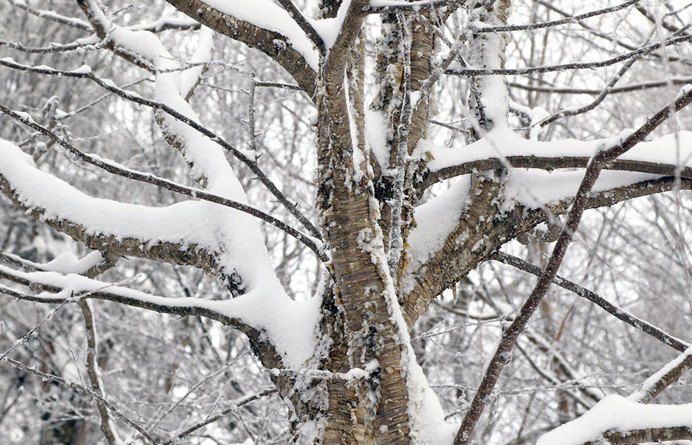
An image of fresh snow on the branches of a yellow birch tree at Bolton Valley Ski Resort in Vermont
An image of ski tracks in powder snow at Bolton Valley Resort in Vermont
A couple of quick storms over the past couple of days brought the Northern Greens some of their best skiing of the season.

Sunday into Monday we had a couple of small systems that combined to deliver some respectable amounts of snow to the Northern GreensBy Monday morning, resorts were already reporting roughly a foot of snow, and the snow continued to fall.  The usual suspects had been out at Stowe throwing up big clouds of powder, and by midday Monday, the resort was reporting 14” of new snow, and the power skiing was looking quite good.  Mother Nature was putting a little extra effort into the event up at Jay Peak, producing some great turns, and a reported storm total near two feet as of this morning.

“The turns were definitely the best I’ve had this season.”

While I didn’t have time to head out for any turns yesterday, I was able to find a little time for a ski tour at Bolton Valley this morning.  Overnight low temperatures were down in the teens F, pretty chilly by November standards, but the air was calm so it was quite comfortable, especially while skinning.  I headed up the Lower Turnpike ascent route, which had a well-established skin track.  There had been a decent amount of traffic on Turnpike itself, so when I got up to the final corner of Peggy Dow’s, I headed toward the Wilderness Lift Line where skier traffic had been rather light.

As usual, I made an effort to monitor snow depths throughout the ascent, and what I found should represent the state of the snow with yesterday’s additional snowfall, plus settling through this morning.  It was a bit tough to discriminate between the newest snow and what was below, so the numbers I’m reporting below represent what I found for total snowpack depth starting at the base of the Bolton Valley Access Road.

340’: 2”
1,500’: 8-9”
2,100’: 10-12”
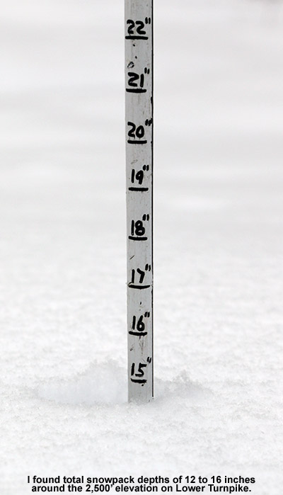
2,500’: 12-16”
3,000’: 12-18”

An image showing the snow depth at 2,500' elevation at Bolton Valley Ski Resort in Vermont

Although it was hard to get an idea of where the base snow stopped and where the surface snow began, I do have some info.  Down at 1,500’ it seemed like there was maybe an inch or so of base, so most of that was new.  Up at 2,100’ there were a couple of inches down, and probably around four inches at 2,500’.  I’d guess six inches of base at the 3,000’ level.  The wind in the higher elevations made for a larger range of depths, but I didn’t find a huge increase relative to 2,500’.  Now that the resort has reported in with 10 inches, that seems like it makes reasonable sense.  There may have been a bit of settling, but I’d say snowfall of 10-12” was probably what they picked up.

With respect to the descent, the skiing was great!  The turns were definitely the best I’ve had this season.  The upper mountain had that substantial base with close to a foot of powder on it, and while overall depths were a bit less on the lower mountain, it was fine on the lower angle terrain there.  The snow was definitely on the dry side, so the fat skis were certainly in order for maximizing floatation, minimizing contact with the base, and planing on the lower-angle terrain.

Bolton Valley, VT 21NOV2017

An image of fresh snow in a streambed at Bolton Valley Ski Resort in Vermont
An image of ski tracks in powder snow and snowflakes in the air at Bolton Valley Resort in Vermont
Thanks to a surprise storm yesterday afternoon, Bolton Valley offered up some fluffy powder turns this morning.

I certainly hadn’t anticipated skiing today, but yesterday afternoon into the evening, Mother Nature dropped a surprise storm on us that really put a fresh coating down on the slopes.  Things began looking a bit suspicious yesterday in the late morning hours, and by midday it was snowing in the Champlain ValleyEven the National Weather Service in Burlington was caught off guard, and before we knew it, it was snowing 1 to 2 inches per hour out in the mountains, and travel on I-89 was getting tricky.  By the time the storm was tapering down in the evening, we had a new half foot of snow at the house, with more in the mountains.

“Even with fat skis, it can be a challenge to float in snow that dry unless you’ve got a lot of it.”

I wanted to see how the storm played out on the slopes, so I stopped for a quick ski tour at Bolton Valley this morning.  My calculations had revealed that the snow was very dry, down around 2% H2O, so fat skis seemed to be in order this time around.  Arriving up at the Bolton Valley Village, I’d describe the weather as having a very Colorado-esque vibe.  The ground was covered with desert-dry, champagne powder and temperatures were in the mid-20s F.  Even before the sunshine hit you, the air just had that comfortable feel, and with the clear skies, the day just held that promise of being sunny, dry, and warm.  I guess it also reminded me of a March ski day to some degree.

An image of fresh snow in a streambed at Bolton Valley Ski Resort in VermontI haven’t seen an official report on snow accumulations from the resort, which is not too surprising since they’re still in pre-season, but based on settled depths of the new powder and the rate of settling I’d seen at the house, I’d guess the Village elevations around 2,000’ picked up a half foot of snow.  That’s similar to what we picked up down at the house.  I’d tack on another couple of inches higher in the mountain, which would put accumulations there similar to the 7” reported at elevation for Stowe.  With the 7-8” of fluff, the total snowpack depth I was finding on the upper half of the mountain was in the 10-12” range.  I see that the snowpack at the Mt. Mansfield Stake came in at 11” as of tonight’s reading.  The high temperature up there was only 32 F, so that snow probably didn’t undergo much melting and is likely comparable to what I found at Bolton this morning.

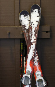
An image of fat Telemark skis in snow at Bolton Valley Resort in Vermont
Changing over for the descent at around 2,800′

The skiing was good, although the powder certainly wasn’t bottomless on every turn.  Even with fat skis, it can be a challenge to float in snow that dry unless you’ve got a lot of it.

Bolton Valley, VT 18NOV2017

An image of snowy chairs on the deck in front of the Deli in the Bolton Valley Village at Bolton Valley Ski Resort in Vermont
An image of a skin track on the Cougar trail at Bolton Valley Ski Resort in Vermont
Ski touring up at Bolton Valley this morning, I found some great turns and more snow than I’d expected.

I was attending the BJAMS Thanksgiving lunch with Dylan on Thursday, and that gave me a chance to check out how the snow was doing in some of the local mountains.  From what I saw at both Stowe and Bolton Valley, the natural snow was just a bit too thin for skiing, but it was getting close.  As of Friday morning though, the mountains had picked up a few more inches, and today I had a chance to head back up to Bolton Valley to see if the slopes were ready for some turns.

“…with the snowpack I found, I just kept going right on up to 3,000’.”

I headed up for a ski tour at the mountain this morning because it seemed the best part of the day to catch some winter snow before warming temperatures affected it.  At the base of the Bolton Valley Access Road (340’) the snow depth is similar to what we’ve got here at the house – generally 1 to 2 inches.  As the recent snow reports from the local ski resorts suggested, there wasn’t a massive increase in snowfall amounts with elevation from our storm earlier this week.  Snow depths increased slowly as I headed up the access road, with about 2” at the Bolton Valley Welcome Sign (1,000’), 2-3” at the Timberline Base (1,500’), and then 3-4” around 2,000’ in the Bolton Valley Village.

An image of a Bolton Valley shuttle bus with a coating of snow in the Bolton Valley Village

There were a few other skiers in the Village who were coming and going on tours, so that seemed like a good sign that the snow was decent.  Indeed, as I headed up Lower Turnpike, the snow depth increased to a half foot at the 2,500’ level.  I had actually planned for a quick tour up to ~2,500’ if the snow wasn’t that good, but with the snowpack I found, I just kept going right on up to 3,000’. 

Below I’ve got a summary of what I saw for snow depths today with respect to elevation:

340’: 1-2”
1,000’: 2”
1,500’: 2-3”
2,000’: 3-4”
2,500’: 6-7”
3,000’: 7”

An image of the snow depth at 2,500' elevation at Bolton ValleyThere was a crust on the snow in places, and I couldn’t figure out the trend in its distribution for a while, but I eventually figured out that areas with the most northwest exposure has the most crust.  The crust wasn’t actually too thick, so it was still fairly easy to ski the snow there, but there’s no doubt that the very best turns were in the crust-free zones – the snow was smooth, mid-weight powder in those areas.  I had some really nice turns on parts of Sherman’s Pass, and probably the day’s best on Work Road, but Lower Turnpike offered the longest consistent lines.

One last bout of snow for October

A radar image showing snow falling in the Adirondacks and in the Green Mountains of Vermont on Halloween
Radar image on Halloween night snowing snow in the Adirondacks and along the spine of the Green Mountains that prompted me to check on the type of precipitation we were receiving at the house.

After our big autumn storm that brought substantial wind and power outages to Vermont (including our house), cold air came into the area today and brought one last snowfall for the month on Halloween.  Powderfreak is out of town, but his colleagues at Stowe kept him apprised of what was going on at the mountain with pictures of the fresh snow.

As is typical for this type of weather setup with a flow from the Great Lakes, the areas around the mountains often get the most vigorous precipitation, which can lower snow levels down to the valleys.  I wasn’t home during the day to see if anything frozen fell at our house, but I wouldn’t be surprised if we got something.

There was additional precipitation while we were out in town for Trick-or Treating with the boys, with fairly heavy rain at times, and when we got home I saw that the moisture was still pushing into the mountains.  With the temperatures dropping into the 30s F I went out to check the precipitation during one of the heavier bursts, and sure enough, there were some partially frozen aggregates coming down, which confirms a trace of snow for today’s records. 

It’s interesting to note that if we hadn’t picked up any frozen today that would have been the first time in the 12 years we’ve been at this location that we didn’t get any frozen precipitation in October.  So that streak continues for now, but it’s still 12 days later than the mean, and of course it’s the latest “first frozen precipitation” we’ve seen here.  I guess with as warm as this October was, it’s nice to even get anything frozen, and at least the snowfall season is officially underway here.

Now it’s on to November, with more substantial chances for snow growing by the day.

Next October snow as we approach Halloween

An image of Mt. Mansfield in Vermont with some October snow as viewed from the University of Vermont in Burlington
Mt. Mansfield and its latest coating of snow seen from Burlington

We’ve had plenty of pleasantly benign weather days this month, but yesterday was one of those raw October days that really speak to the seasonal progression.  Temperatures in the valleys even stayed well down in the 40s F, and a storm passing through the area brought bouts of heavy rain that made walking around outside a rather rough experience.  I wasn’t sure if this storm was actually cold enough to bring in some snow to the area, but sure enough, Powderfreak was already posting snowy images from Mansfield this morning and letting us know that the snow level was down to 3,000 feet.  Once the clouds began to break away from the mountains in the afternoon I was able to snap an image from my office of the new white near the peak of Mansfield behind some of the colorful foliage still hanging on in the Champlain Valley.  We’ve got a potent storm coming into the area Sunday that is expected to bring a lot of wind and rain, and next week there’s the chance for a bit more snow in the area as we get some cooler temperature and a flow that could bring moisture over from the Great Lakes.

First October snow for the Green Mountains of Vermont

An image of Mt. Mansfield in Vermont with a bit of October snow atop the Chin
Today you can still see a bit of snow atop Mt. Mansfield above 3,500′ or so.

It hasn’t been an especially cool fall thus far in Vermont, and in fact we had some rather warm days with temperatures up to 90 degrees F for the Champlain Valley last month.  It’s hard to think of potential snow with temperatures like that!  Due to the heat, we actually delayed our September apple picking trip to Boyer’s Orchard with the Bennetts and the Burseys for one week to wait for a more autumnal feel.  The temperatures and generally fair weather have certainly made for some fantastic outdoor activities, but the warmth may have altered the timeline for the development of the fall foliage color.  In any event, by the beginning of last week I could already see that we were past peak color in the Winooski Valley.  Bare trees were numerous throughout the hillsides, leaving at least small gaps in the colorful views.

It’s funny, but despite the warm weather in recent weeks, we actually had some September snowfall on Mt. Mansfield and other peaks in the region.  We don’t get September snow every year, so it’s quite interesting that things came together to put some white on the peaks so early during a warm period.

With the fall foliage around and especially with the colors now beginning to wind down, more snow usually isn’t far behind, and indeed today’s dramatic drop in temperatures from the 70s F we had just yesterday evening made it really feel like we were transitioning further into fall.  We never got out of the 40s F in the valleys, so there was definitely a bit of a bite out there with wind on top of those temperatures.  While heading to a class today here on the UVM campus, it absolutely felt like one of those days where it could easily be snowing along the spine.  And, lo and behold, when I later checked in on the Northern New England fall thread on the American Weather Forums, Powderfreak was already reporting accumulating snow down to 2,700’ on Mt. Mansfield.  He posted some additional pictures later, showing how the snow had a hard time accumulating on the warm ground in most areas and was typically found on the trees.  He did report snowfall down as low as 1,500’ in elevation though, probably via help from the orographics of the Green Mountain Spine.  The Bolton Valley Facebook page also posted an image of flakes getting down to the Village, and I’m sure many of the local mountains saw flakes as well.

I hear Killington also took advantage of the cooler temperatures to test the snow guns, so we’re certainly on our way.  The longer range forecasts suggest a possible stretch of colder weather near the end of the month into November, so we’ll see what potential that brings with regard to manmade or natural snow.

A little September snow for Mt. Mansfield in Vermont

This one sort of snuck in there without me noticing,  so I’m posting it a bit retroactively, but along with reports of snow on Mt. Washington in New Hampshire, as well as snow on Whiteface in New York, or own Mt. Mansfield here in Vermont has picked up a touch of the white stuff.  It’s kind of a treat to get some September snow on the peaks around here because it doesn’t happen every season, and I wouldn’t have expected it in the rather warm weather pattern we’ve been in.  Now it’s on to October where we should find our next shots at snowfall.

Mt. Washington, NH 16MAY2017

An image of a snowboarder hiking Hillman's Highway on Mt. Washington in New Hampshire
An imae of Rob skiing Hillman's Highway on Mt. Washington in New Hampshire
Hillman’s Highway was the choice today for our trip to Mt. Washington

As the spring semester winds down, many of our graduating biochemistry majors here at UVM have been getting out to enjoy the remaining snow in the mountains of both New Hampshire and Vermont.  I’ve been hearing some fun reports, so when Rob invited me to join one of their Mt Washington adventures, I was definitely interested.  His plan was for the Tuesday of senior week, weather permitting of course.  My schedule looked good, so I was hopeful for the chance to commune with some of the seniors in the great outdoors before they’d begin departing after graduation.

“We could see that there had been some sloughing there due to the new snow, but the lower areas we could see looked quite settled and stable, and there had already been plenty of skier traffic in the gully.”

Mother Nature threw some rather interesting weather into the mix ahead of the planned trip, with Mt Washington picking up almost 3 feet of new snow at summit elevations over the past couple of days, and over a foot down at Hermit Lake.  That was a lot of new snow, and the avalanche report suggest that northerly winds would be loading the more southerly-facing gullies and cross-loading the east-facing ones.  Temperatures were expected to rise significantly today, which we knew would result in plenty of settling depending on elevation.  There seemed to be enough potential to find at least some level of safe skiing, so we decided that we’d check with the staff on scene in the Hermit Lake area, and the trip was on.

An image of water pouring from a gutter at the Hermit Lake Caretaker's Cabin near Mt. Washington in New Hampshire
Meltwater pours from a gutter at the Hermit Lake Caretaker’s Cabin as rising temperatures melt off the recent snow.

Only Rob and Emily ended up being able to make the trip, but I met them at the Pinkham Notch Visitor’s Center, and after getting our gear together, we were on our way.  I’ve hiked up to the Tuckerman Ravine area many times, but with the new snow I decided to try a gear setup that I’ve never used before.  Instead of brining two pairs of boots (hiking boots and ski boots), I wanted to just wear my mid-weight Telemark boots for everything, hiking and skiing.  It turns out that the setup worked great; my Garmont Gara boots have got rubber Vibram soles so they were plenty comfortable and pliable on the ascent through a lot of dry, rocky terrain.  Ascending from Pinkham Notch at ~2,000’, we saw our first signs of snow at 2,650’, and at around 3,400’ the snow cover was continuous enough that I was able to start skinning there and made it right up to Hermit Lake.  The new foot or so of snow had certainly helped with the potential for skinning – coverage would have been somewhat less continuous on that last part of the ascent without it.

We assessed the snow/ski terrain situation from there, and while most of Hillman’s was visible with clouds just skimming the upper reaches, Tuckerman Ravine was generally socked in.  After consulting with the staff at Hermit Lake, and using what we could see, we decided that Hillman’s Highway was the way to go.  Most skiers we encountered seemed to be making the same decision.  We could see that there had been some sloughing there due to the new snow, but the lower areas we could see looked quite settled and stable, and there had already been plenty of skier traffic in the gully.

An image of Hillman's Highway on Mt. Washington in New Hampshire viewed from the Hermit Lake area
Hillman’s Highway from the Hermit Lake area

Emily and I skinned up the first part of gully, but around halfway it was just getting too steep and we had to switch to hiking.  Thankfully there was a nice boot ladder already in place on climber’s right.  I stopped around mid-gully where I figured I’d still get plenty of descent, and set myself in a good position with my camera.  Emily and Rob headed up to where the gully splits into a Y, and went a little farther up the climber’s right option before settling down in a sheltered area of rocks.  Above that point the snow hadn’t been skied and was a little questionable, and in that regard they were on the same page as other folks skiing in the area.

An image of Emily paused during a ski run on Hillman's Higway on Mt. Washington in New HampshireThe best skiing was in areas where there had been some skier traffic that got down to the older corn snow surface, and the toughest turns were in the mush that had settled down near the bottom of the gully.  The Sherburne Ski Trail had actually opened back up a bit with the new snow, and we were able to ski about a third of it before we had to cut back to the hiking trail.  After that the descent was quick, and we were back at the cars saying our goodbyes.

An image of the summit snowfields of Mt. Washington in New Hampshire
A view of the summit snowfields of Mt. Washington from Hillman’s Highway after almost 3 feet of snow in the past few days

The new snow is going to get even better with a couple of freeze-thaw cycles, and it’s certainly bolstered the snowpack somewhat in the higher elevations.  Although they were in and out of the clouds, the summit snowfields looked really nice, so there should eventually be some excellent skiing up there with easy access as soon as the road opens back up.