
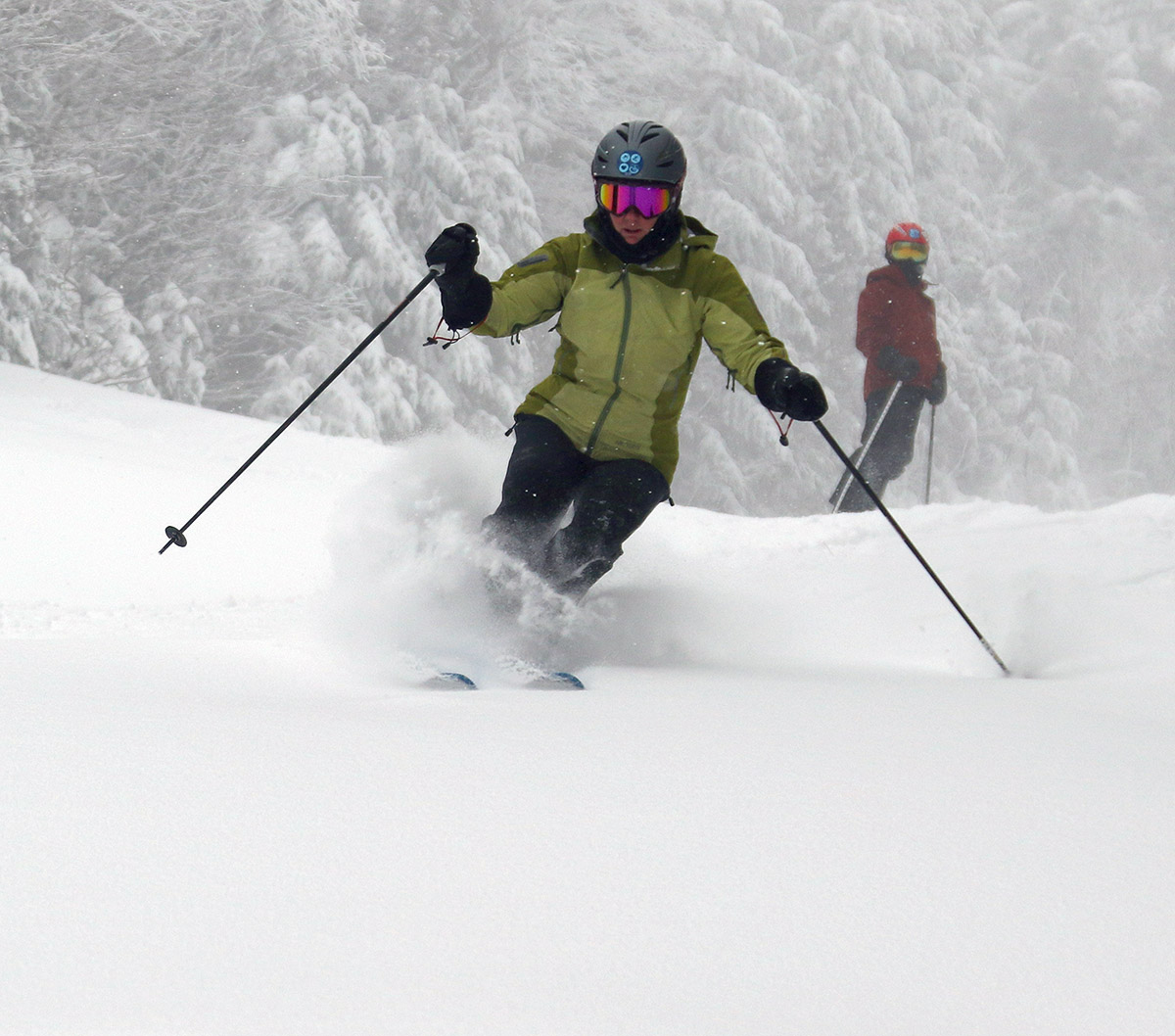
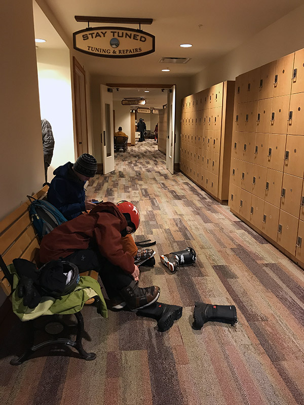
For today’s BJAMS session at Stowe, Dylan and I were joined by Viviana, as well as Jessica and Sienna who were back from vacation. Viviana has progressed to the point where Erica feels confident enough grouping her up with Sienna, and I’d say that was a good choice.
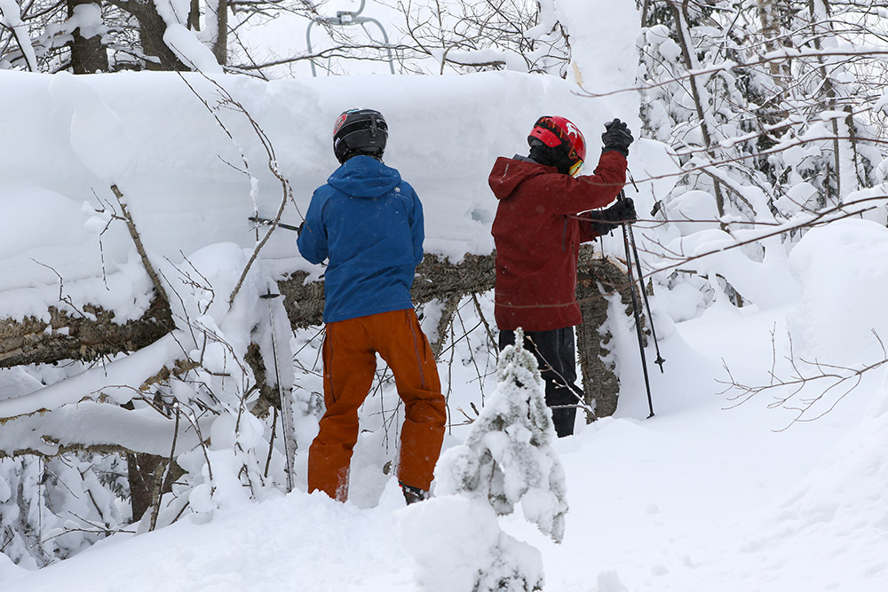
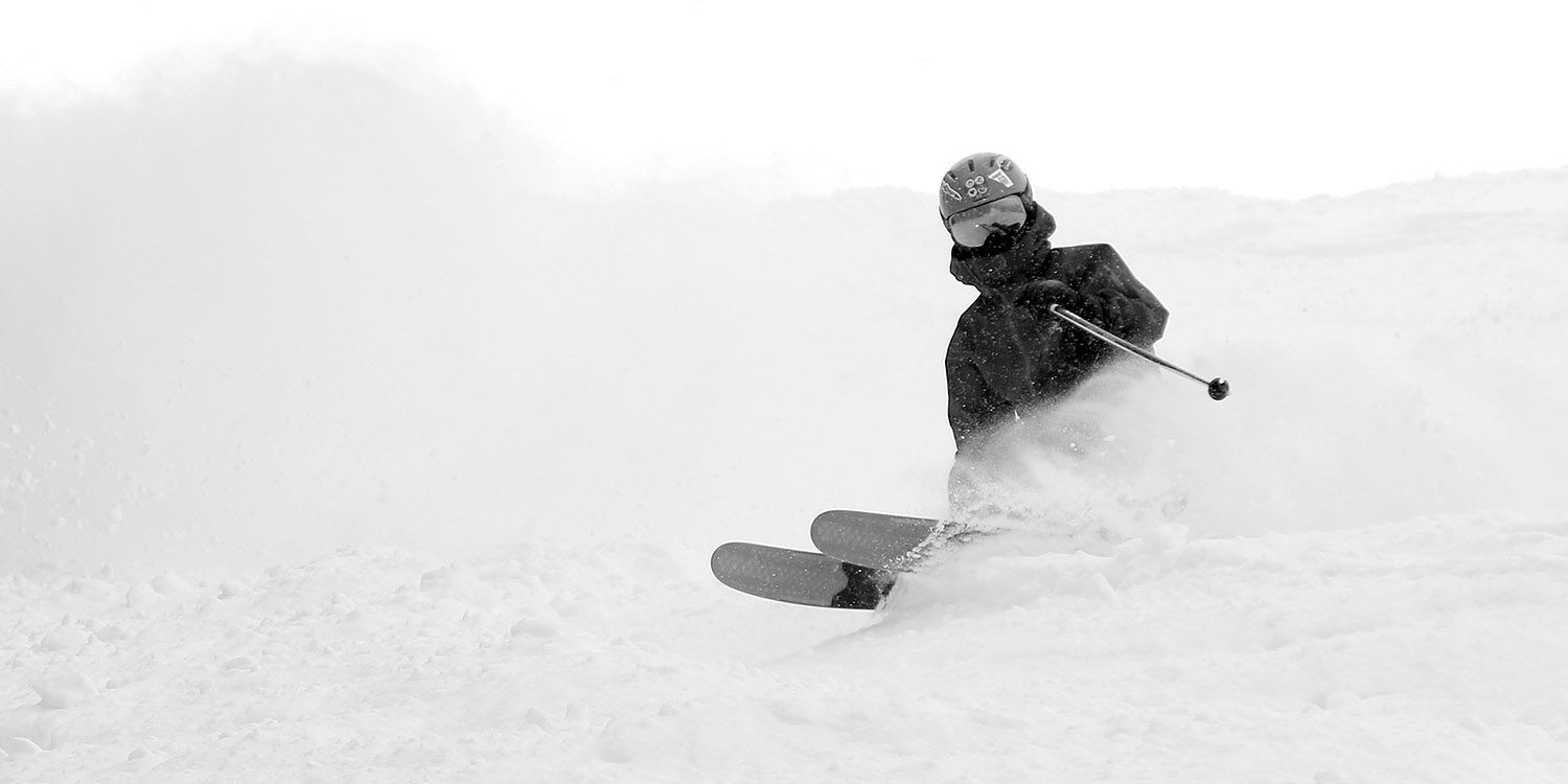
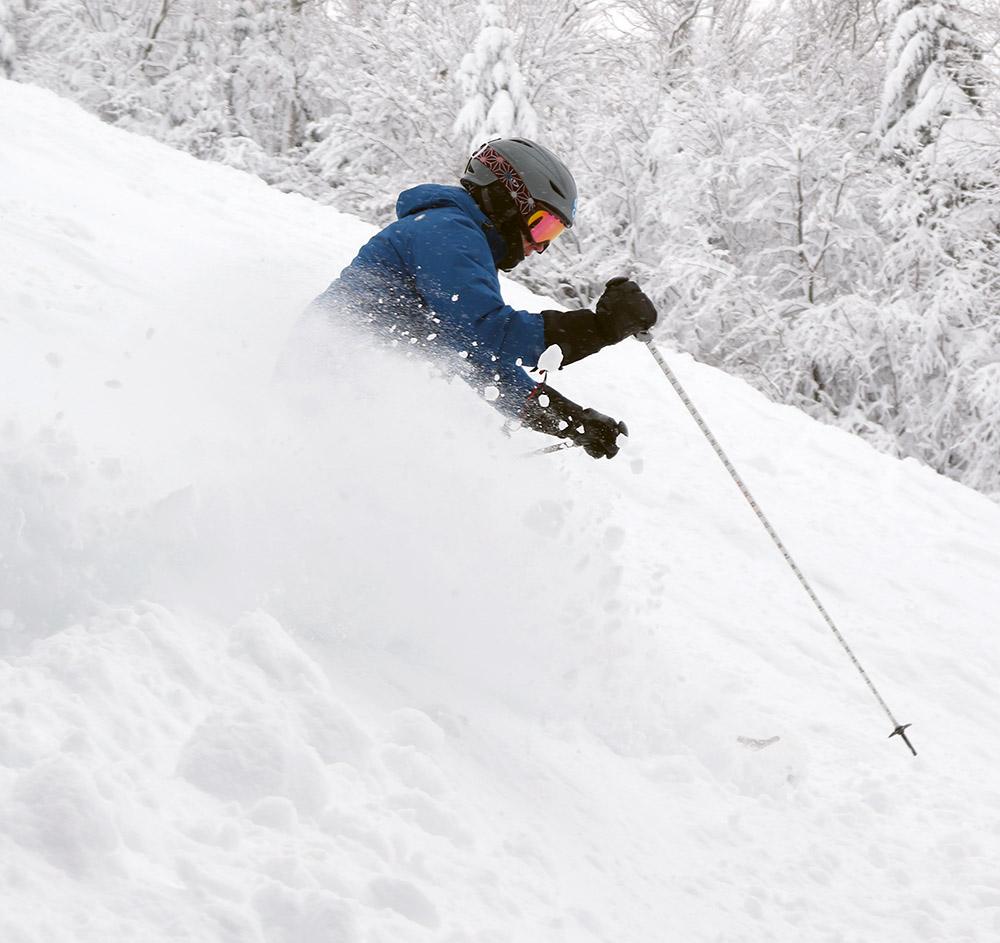
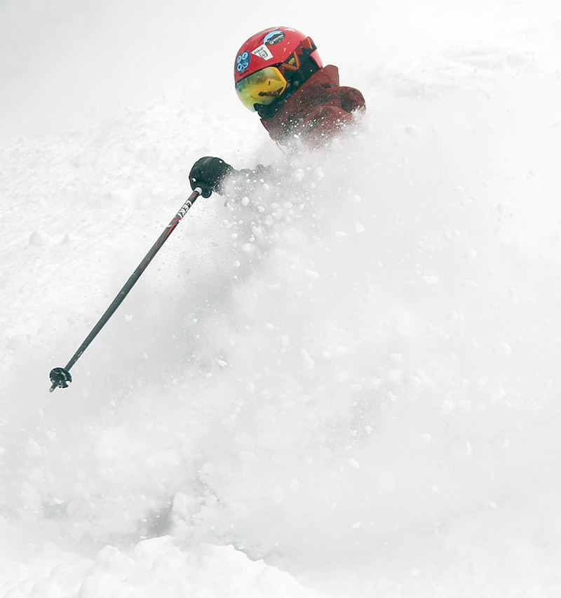
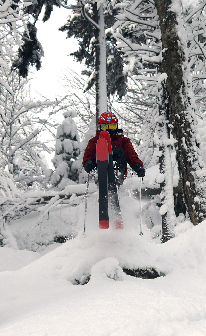
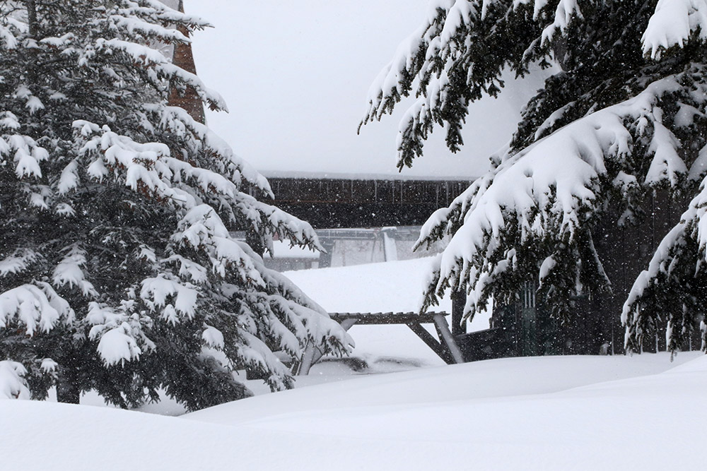
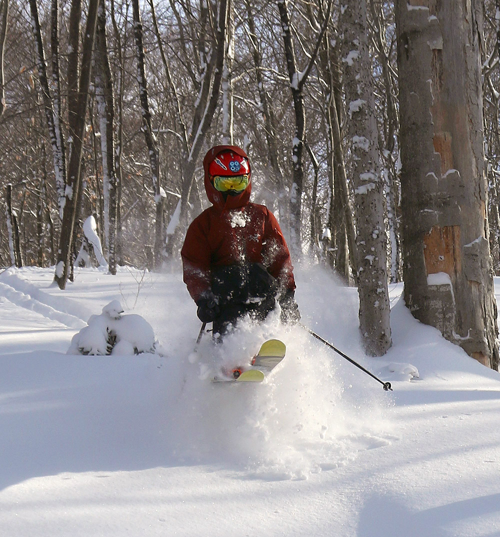
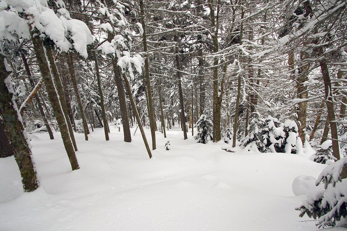
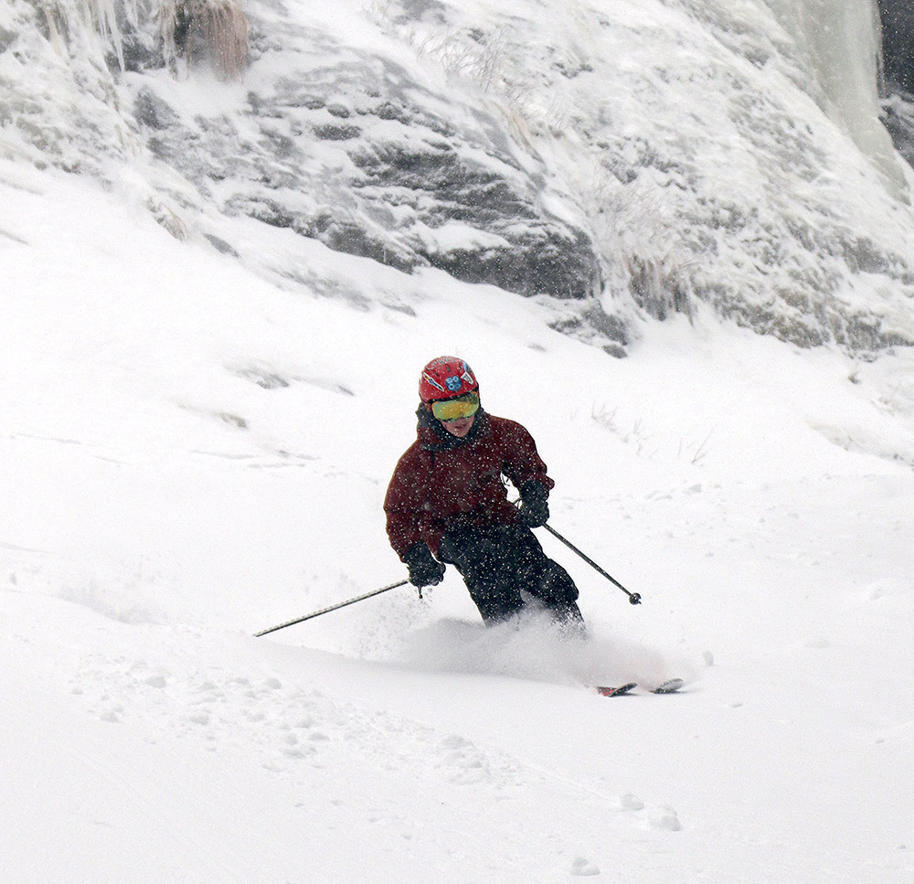
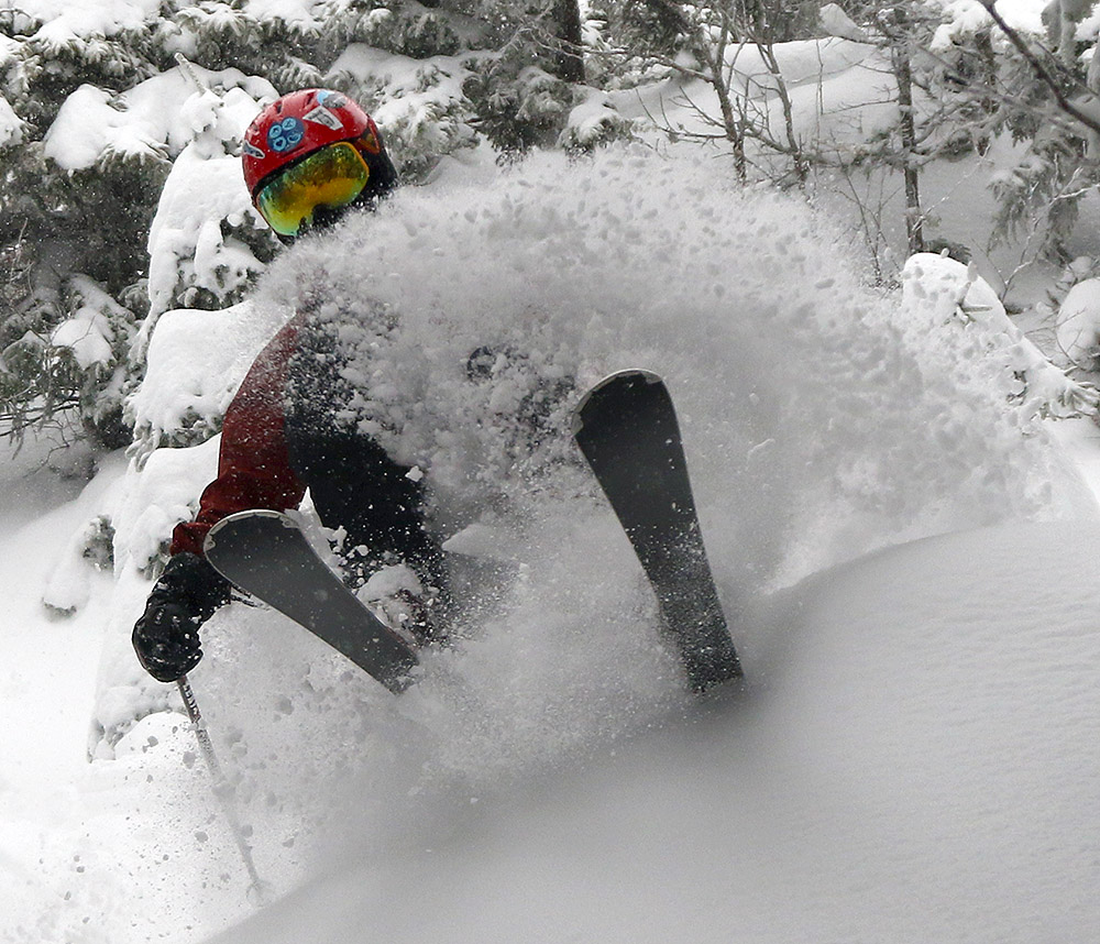
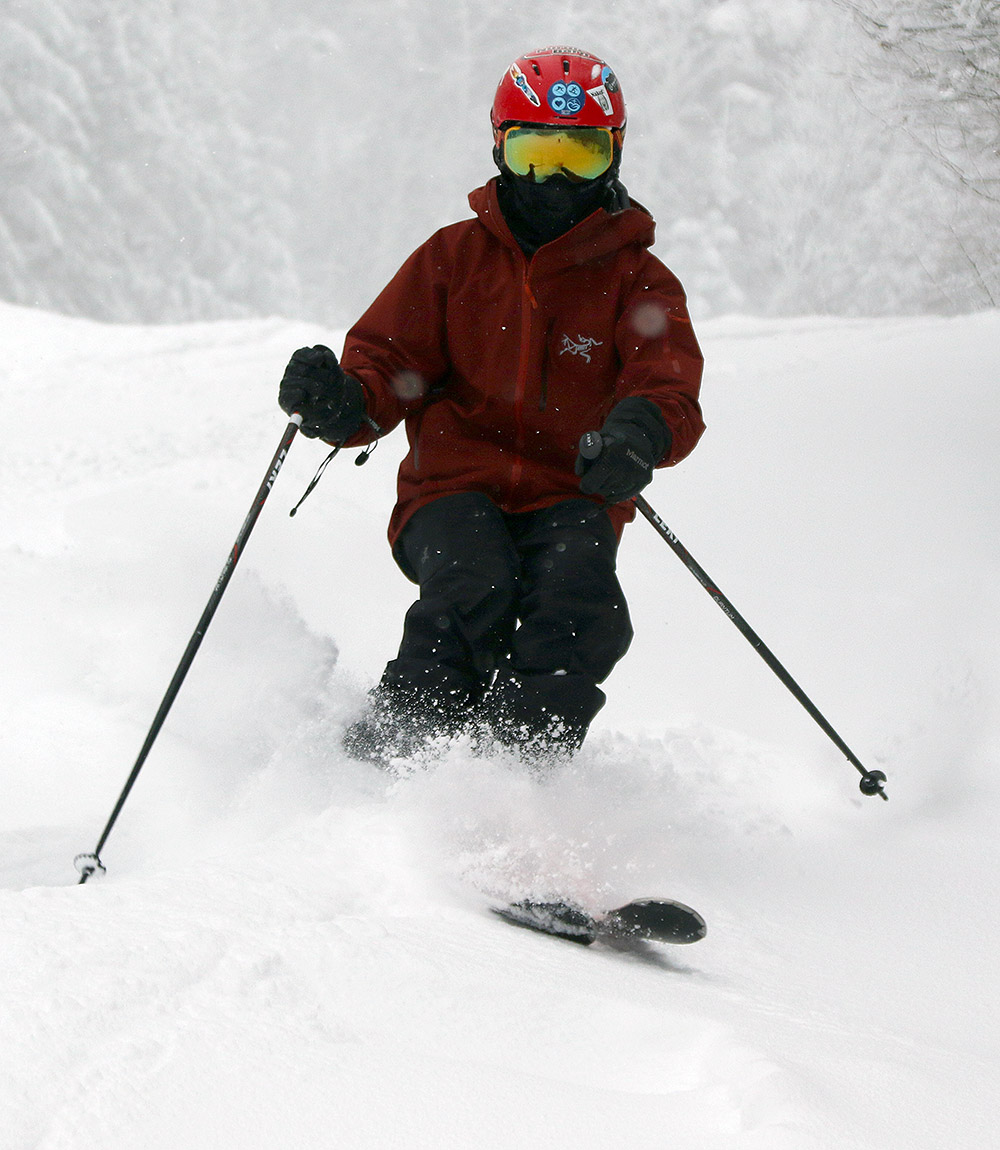
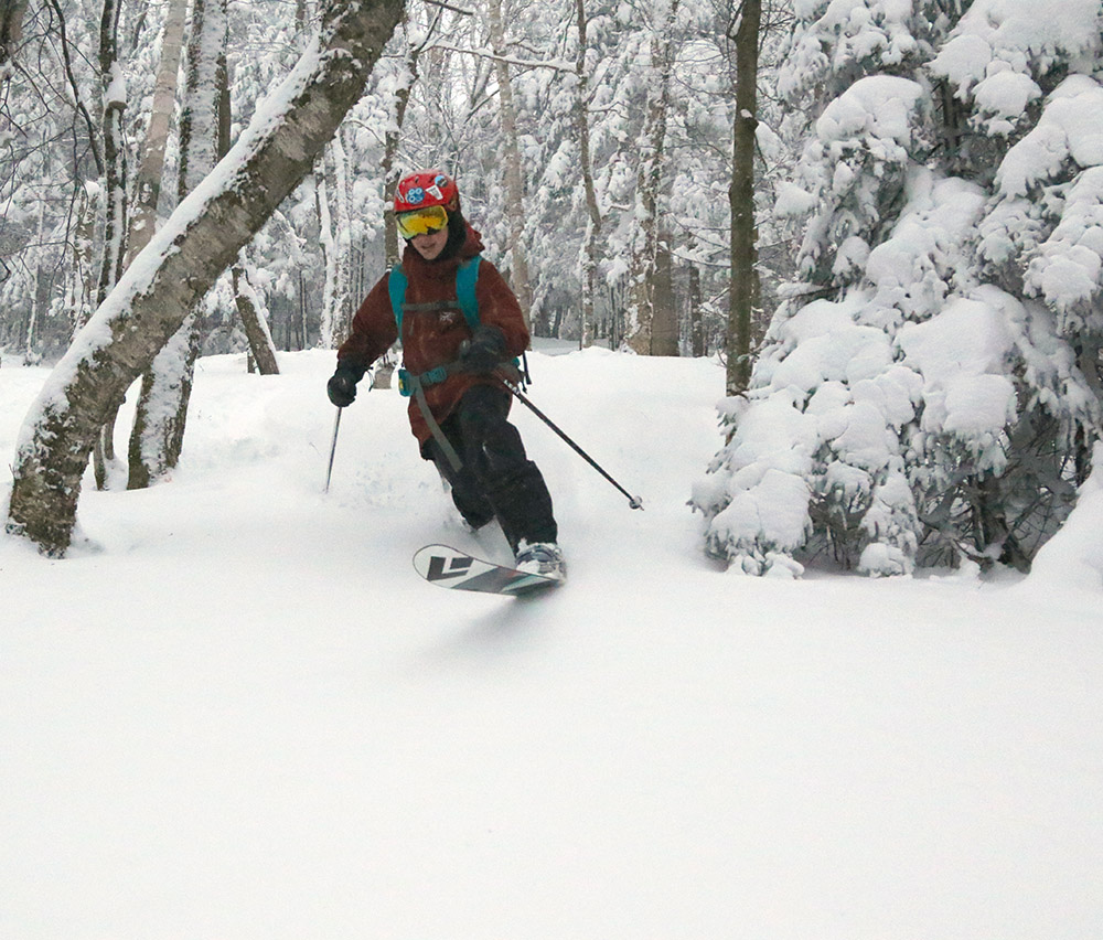
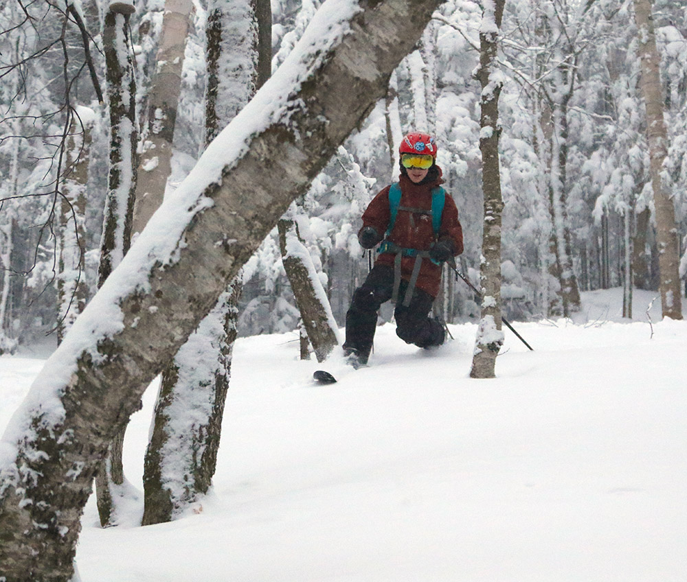
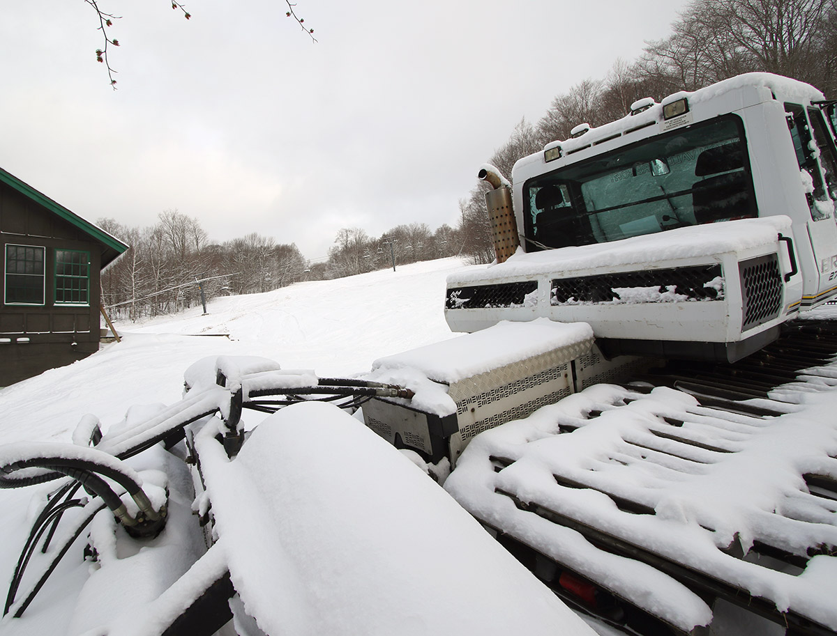
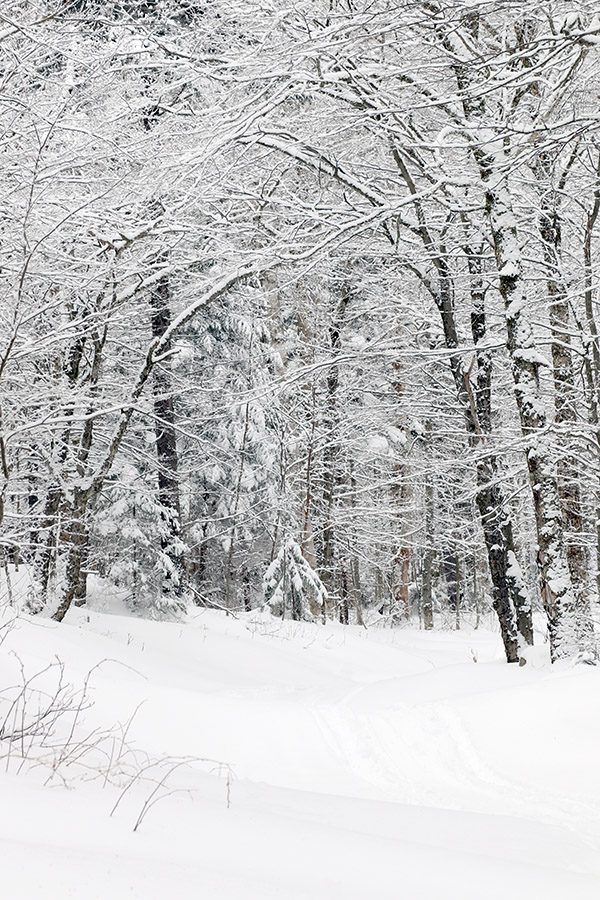
Before session started, Ty, Dylan, and I had the chance to take a run off the Sunny Spruce Quad to get a sampling of the snow. Winter Storm Odell has wound down now, but it left 40 inches of new snow at Stowe, and the effects were still very obvious. When the boys and I ventured off piste, we found that the powder skiing was simply amazing, and this was after a day or two of settling. As much as I’d found excellent conditions at Bolton on Friday, and especially Saturday after their 30 inches of snow from the storm, the quality of Stowe’s off piste snow was even better. It’s hard to say whether it was simply the extra 10 inches, or if the snow at Stowe happened to be just a bit lighter and drier, but the snow quality was indeed at that next level. We skied the powder along the edge of Slalom Hill, and I just couldn’t believe the quality of it. And, this was on south-facing terrain down near the 1,500’ base elevations of Spruce Peak. One can only imagine what the snow quality was like up at 3,000’ on Mansfield. Actually, one doesn’t have to imagine too much – Powderfreak’s over-the-head white-room photos from the mountain on Friday pretty much told the tale.
“As much as I’d found excellent conditions at Bolton on Friday, and especially Saturday after their 30 inches of snow from the storm, the quality of Stowe’s off piste snow was even better.”
We started out today’s session with a warm-up run off the Meadows Quad to make sure Sienna was up to speed after missing a number of ski program days due to illness, and her skiing was in great shape. She’s skiing notably faster than Viviana, although Sienna isn’t quite progressing toward parallel the way Viviana is.
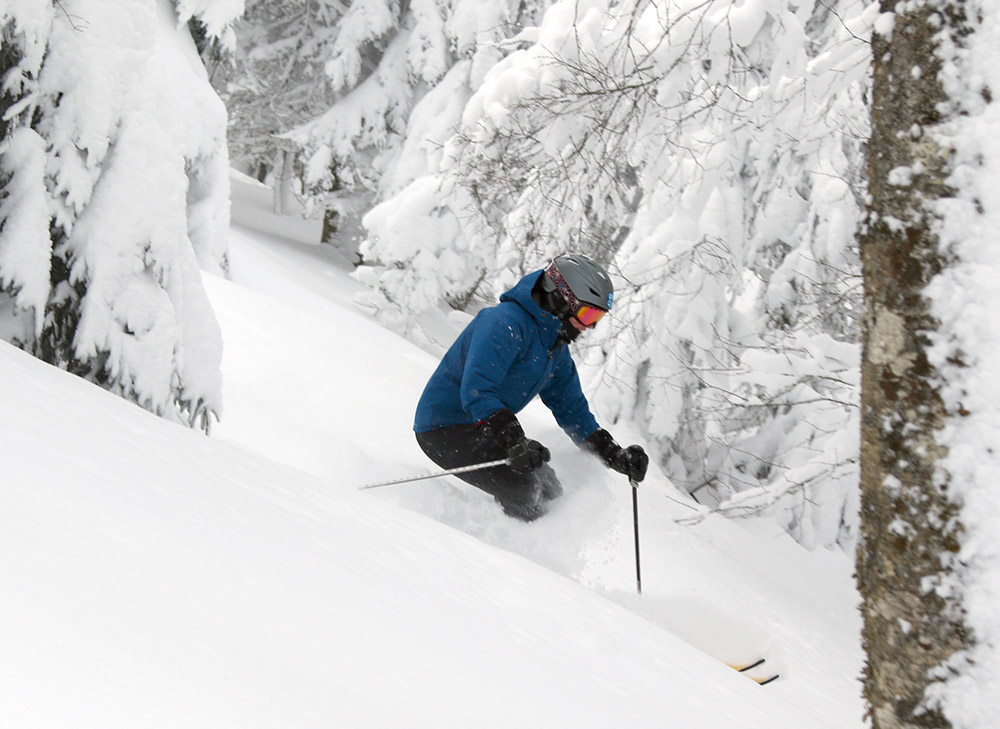
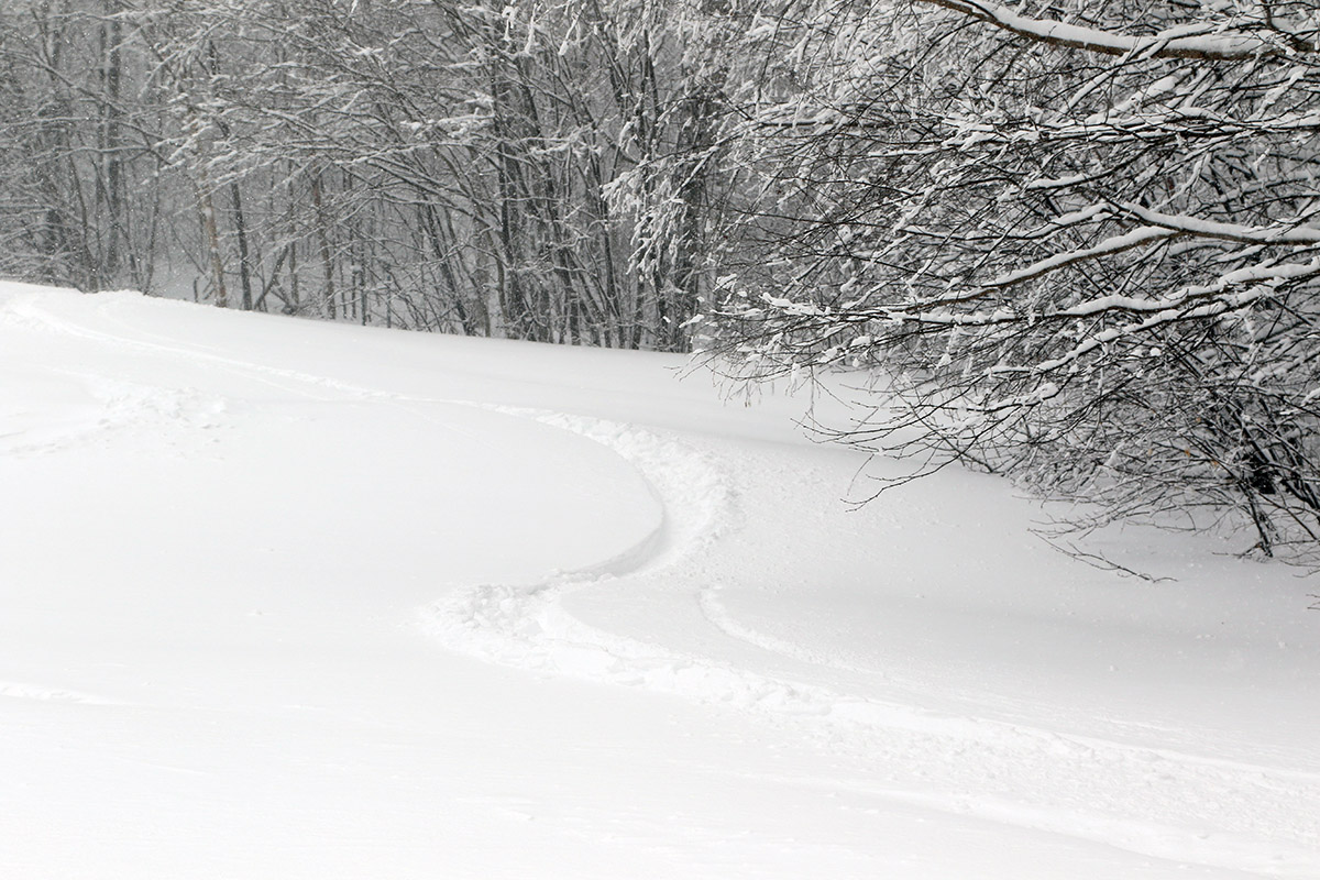
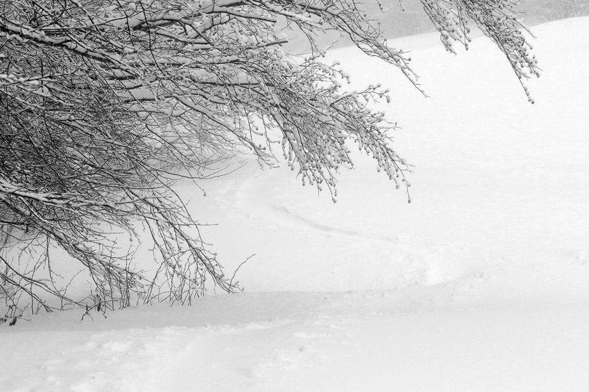
Based on Erica’s suggestion, we took the whole group over to Mansfield ski Toll Road. Neither Jessica, Sienna, or Viviana had ever been over there, so it was going to be a whole new adventure for all of them. We decided to access the Toll Road only from the Mountain Triple Chair, since we were unsure how difficult it would be for the girls to navigate from the top of the Fourrunner Quad to the Toll Road area, and they already had some trepidation about the new environment. The trip was also exciting in that it meant the use of three new lifts for Viviana, the Over Easy Gondola, the Mountain Triple Chair, and the Toll House Double Chair.
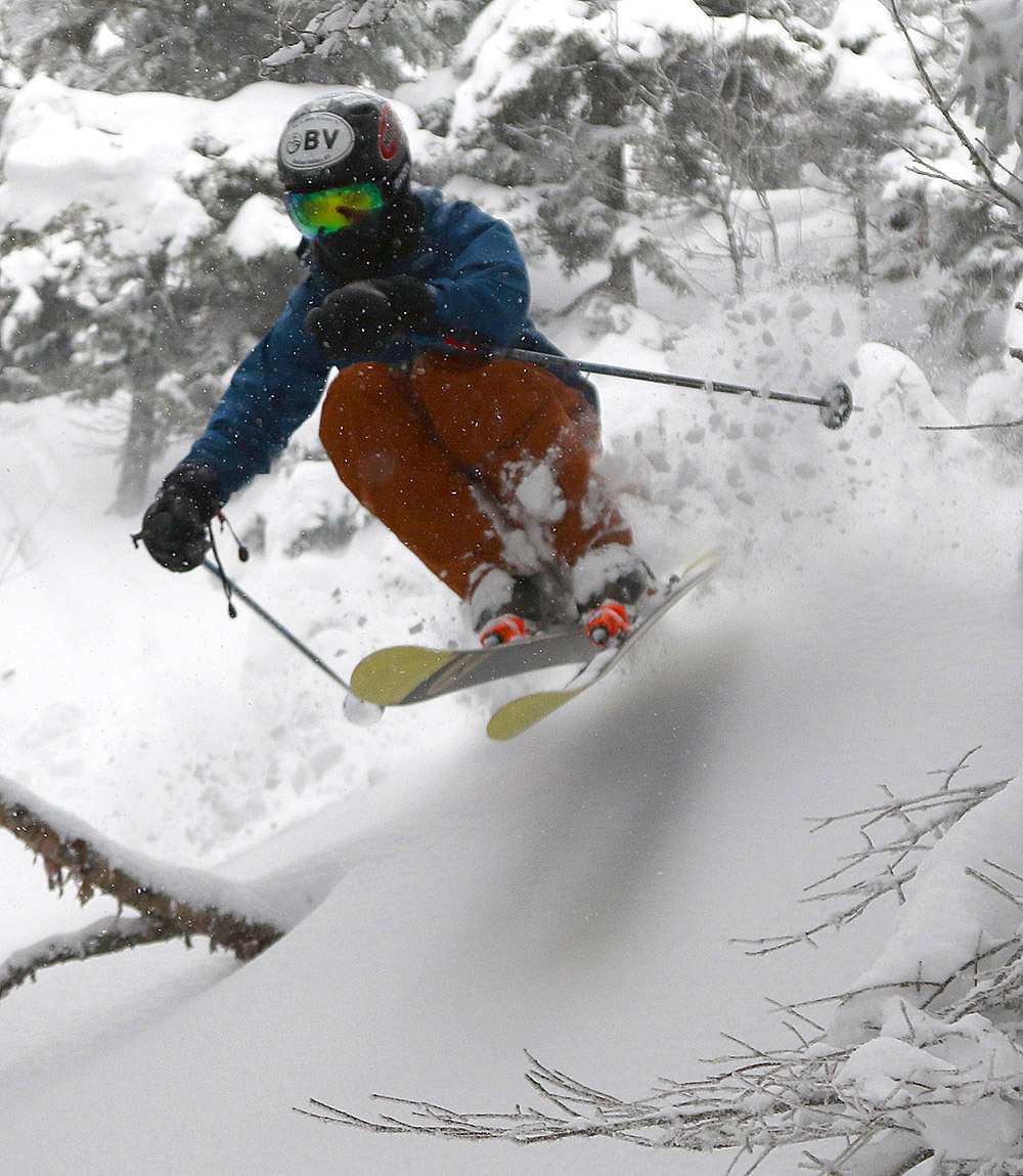
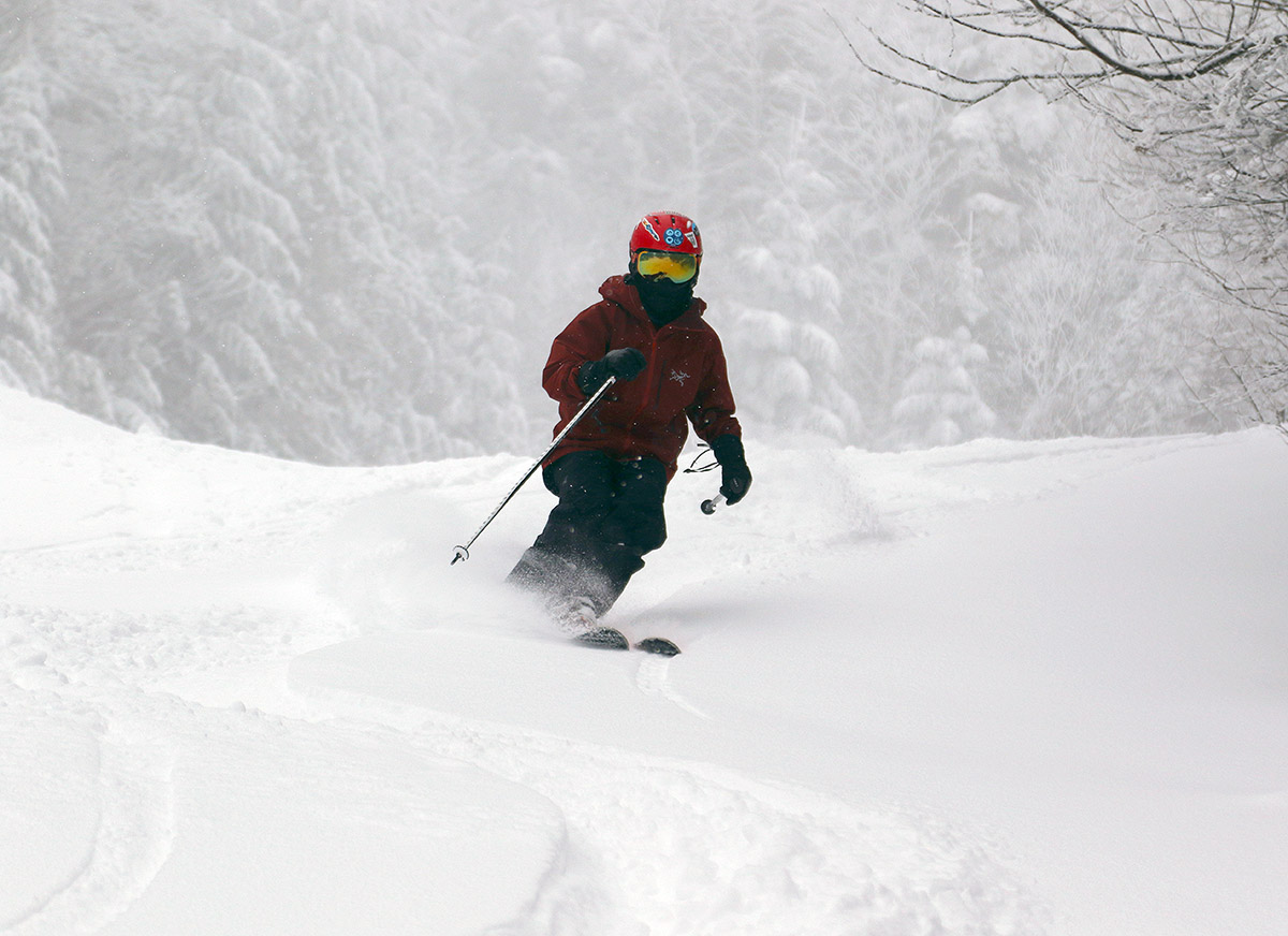
The Toll Road experience turned out to be a great success. The route was well within everyone’s abilities, and it allowed them to ski a really long, continuous run on a scale that they’d never done before. The groomed snow quality was excellent, and the quality of the powder off to the sides of the trail was simply amazing. Dylan was constantly playing around in the powder off piste, and the overall snow conditions were forgiving enough that everyone started to join in. Jessica was raving about the experience, and that was great to hear. Not every storm cycle is going to bring 40 inches of snow to set things up like what they experienced today, but they’re all certainly ready for another run over there from the top of the Fourrunner Quad.
Although Jessica and Sienna had to leave early, we got in a few more Meadows Quad runs with Viviana, and she got to do more trips through the Easy Street Trees. She also began to venture into the various little chutes and tracks that are available off the sides of her usual Catwalk run, and navigating those was actually a good challenge with respect to controlling her speed.
There aren’t any huge storms in the forecast for the coming week, but we could have snow from some smaller systems toward the end of the week, so we’ll see how those set us up for next weekend.


