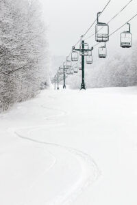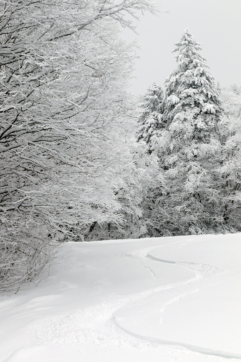
I headed up to the mountain this morning to catch a quick ski tour and check out the snow we’d received from Winter Storm Jimenez up to that point. Bolton was indicating 4 to 5 inches of new snow as of the morning report, and that’s what I found fairly consistently in touring from 2,100’ up to around 2,700’ on terrain that had previously been packed. Turns were generally bottomless with 115 mm width skis on low and moderate angle terrain, but the quality of the turns was bolstered by the fact that the subsurface continues to improve with each storm. That dense mid-month storm really substantiated the base, and Winter Storm Iggy added some drier snow atop that, so the depth and quality of the snowpack is improving by leaps and bounds. There have been additional accumulations today from a strong cold front passing through the area, and the next synoptic system in the queue is expected to impact the area tomorrow night and has been named Winter Storm Kassandra. That system seems to have a bit more potential for some upslope snow on the back side, and I’ve seen storm total estimates as high as 12 to 18 inches for the local mountains, which would represent another great addition to the snowpack.


