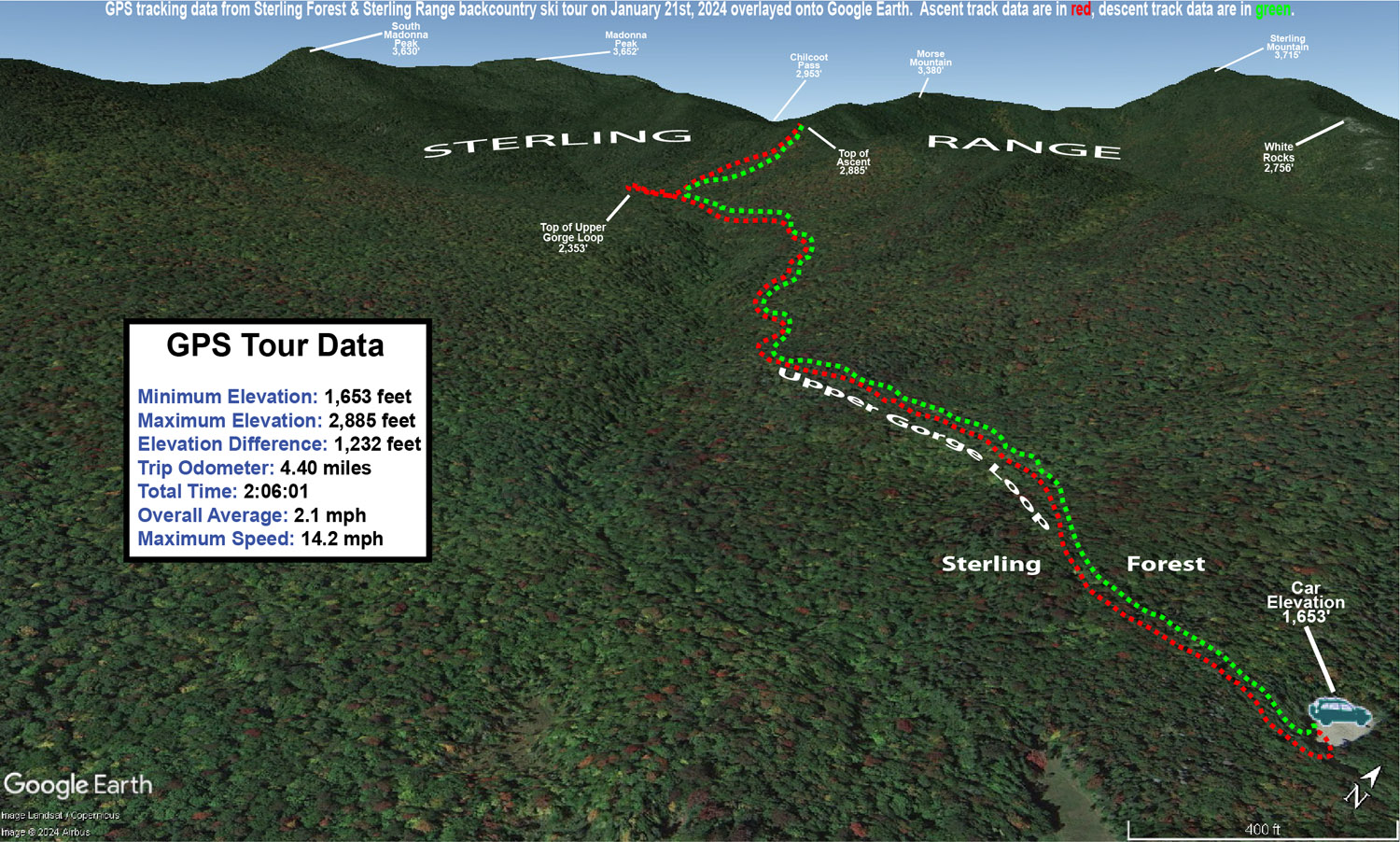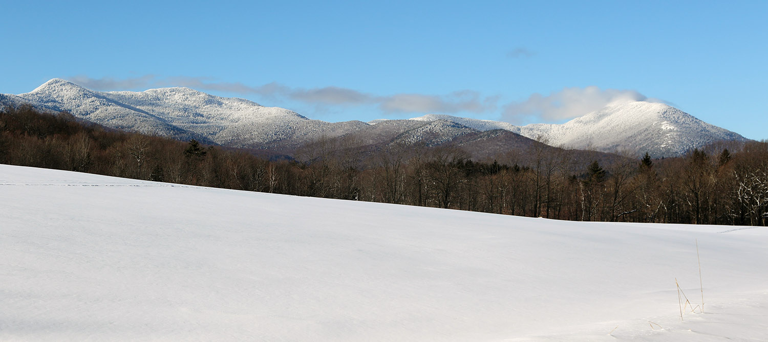
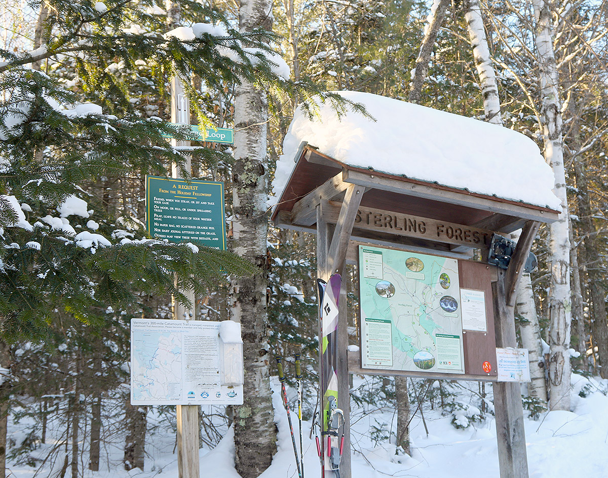
Today the temperatures were still quite cold, so I again opted to stick to ski touring instead of riding the lifts, but it was a bit warmer than yesterday, and I decided to go a bit farther afield and higher in elevation. I set my sights on skiing in the Sterling Range, an area that has been on my list of ski touring spots for quite a while, but I just hadn’t gotten around to making the trip. A very convenient access point to the range is through the Sterling Forest area, and they have a really nice parking lot that’s maintained at the top of Sterling Valley Road.
I’d been up to the area in the warm season for mountain biking, but I haven’t been up there much in the winter. The snowpack around the houses up there is impressive, and you can tell that the area gets, and holds, a lot of snow. I guess it shouldn’t be too surprising with a number of houses that are well above elevations of 1,000’. Indeed there’s some good elevation there as you approach the Sterling Forest – the parking area is around 1,700’, which is 500’ higher than where I began my tour yesterday.
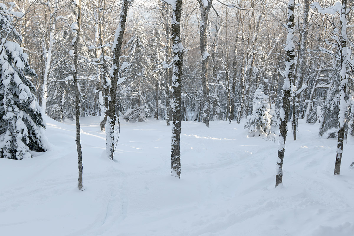
Most people I’ve talked to, as well as reports and videos I’ve seen, use the Upper Gorge Loop trail area as their main thoroughfare for touring. It serves as the approach and as a collector trail if you’re skiing the north side of the basin. For my approach I followed the northerly section of the Upper Gorge Loop Trail, which seemed to be the most popular based on the levels of traffic packing the snow. Following the trail, I began to see skin tracks branch off to head up the north side of the basin, but I continued on the loop trail until I hit its apex, just so I could get the lay of the land. I then skinned back a couple of minutes and took the highest skin track that was available. That brought me to the top of the ridge on the north side of the basin, and along the way I passed numerous open glades that had very few tracks and offered a lot of impressive skiing. I topped out around 2,900’ along the ridge, and descended through the glades back to the Upper Gorge Loop Trail.
Powder depths were very similar to what I found yesterday with respect to similar elevations. I was curious if there might be a difference in surface snow depths since I was about 12 miles farther north in the Northern Greens, but my measurements didn’t reveal any substantial differences. I did ascend substantially higher on this tour though, so it let me add on to what I’d found yesterday. The powder depth profile I found today was as follows:
1,700’: 7-8”
2,000’: 7-8”
2,200’: 8-9”
2,500’: 10-11”
2,700’: 11-12”
2,900’: 12-13”
There are other options for nice touring out there, such as dropping down the back side of the ridge into the next drainage, but the approach to the slopes in the main basin is already a couple of miles even before you begin the main ascent through the glades, so I couldn’t really tack on more with the time I had. It was a gorgeous midwinter day though, with lots of sunshine, and that definitely helped to bring the temperature up that extra notch relative to yesterday.