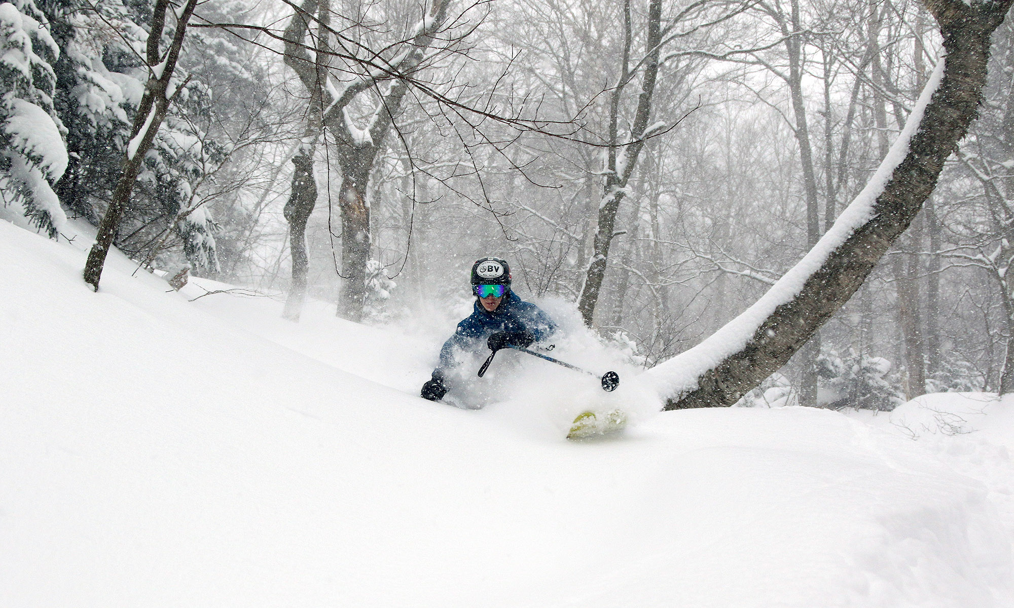
A cold front moved through the area in the late morning period today, and whiteout conditions were encountered in numerous spots. With snow returning over the past couple of days, Bolton Valley was reporting an additional 2 to 3 inches in their 24-hour total, and my liquid analyses from down at the house indicated that it was indeed very dry snow – down around 2% H2O. This isn’t the kind of snow that is going to quickly build the snowpack, but it is the kind of snow that compliments the powder that is already in place. And the mountain snowpack is doing fine for this time of year anyway – as of today’s report, the snow depth at the Mt. Mansfield Stake is almost 60 inches.
My ski tour from yesterday revealed that the powder out there is in absolutely fantastic shape, so I decided to head out for another tour today. Temperatures were up today – well up into the 20s F in the mountains, but the wind had picked up as well. Skies were cloudy as the snow pulled out but quickly shifted to partly cloudy conditions with bright sun at times.
I toured on the west side of the Bolton Valley Nordic & Backcountry Network yesterday through elevations in roughly the 2,000’-2,400’ range, but today I toured on some of the more traditional Bryant Trail terrain and topped out around 2,800’. I toured up and around Bryant Cabin, then continued on up to the Not a Trail traverse and descended from there. I hit the Gun Sight area, which I’d yet to visit this season, and then continued my descent through a collection of lower-elevation glades. Similar to yesterday, the main lines of most glades have seen plenty of skier traffic, but all you have to do is head off into the surrounding trees and the snow is untracked and bottomless. Even in the dense evergreen areas the snowpack is deep – it was at least 30 to 40 inches when I checked at the 2,800’ level, but I can’t tell if I was actually probing all the way down to ground level.

Today must not have been as busy at the resort as yesterday, because when I headed up the afternoon there was no sign at Timberline about the upper parking areas being full. Bolton has definitely been checking people’s passes for Nordic & Backcountry Network access this weekend. Yesterday on my way up the Bryant Trail I had to show a patroller my pass, and today they had an employee stationed at the Nordic Hut at the base of the Bryant Trail. I showed her my pass, but she wanted me to get one of the new blue arm bands that the resort is requiring for trail network use this season. I’d read about the arm bands on the resort’s website but hadn’t seen them in practice. It looks like they’re fully implementing them now, but now that I’ve picked mine up, it’s good for the whole season. In the Nordic & Backcountry Center they said that you can just keep it on your backcountry pack, since people are finding them a bit small to go on the arm. I was planning to visit the Nordic & Backcountry Center anyway, because I wanted to check out its new location. It’s moved from down at Ralph’s Rec Center to one of the buildings on the west side of the Village Circle. This is a better location with respect to backcountry access, especially for those using the Wilderness Uphill Route since it’s so close, but it seems to be a little less convenient for Nordic skiers that might be starting out on the Broadway Trail.

