Ty to appear in Bolton Valley ad in Kids Vermont

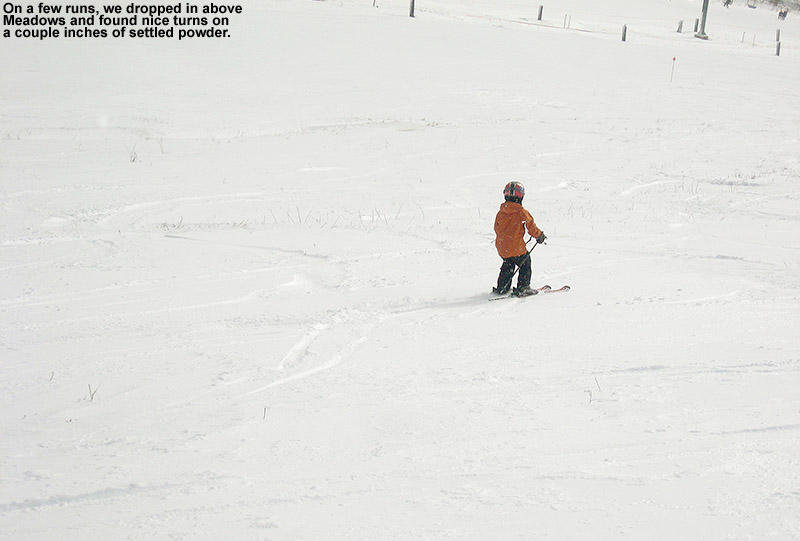
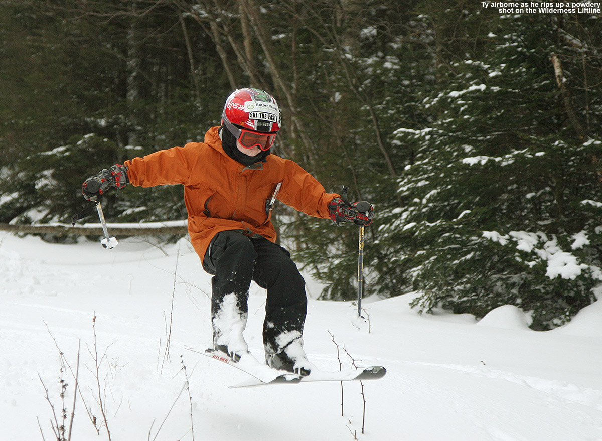
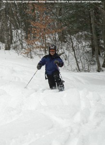
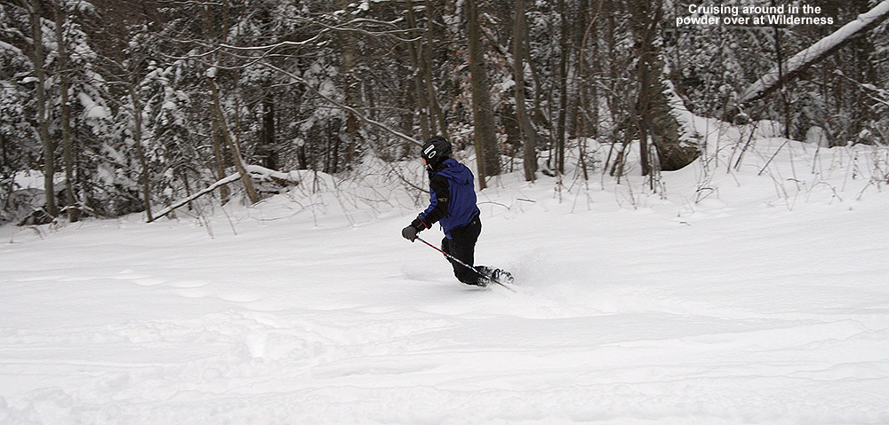
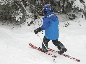
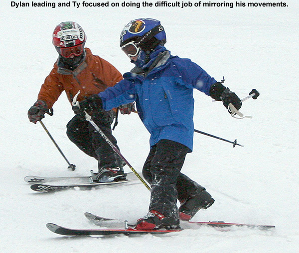
An image of Ty in the powder that we took back on our December 20th, 2008 ski outing at Bolton Valley will be appearing in an advertisement for the resort in an upcoming issue of the Kids Vermont newspaper.  I’ve attached a copy of the ad below; congratulations Ty!

Advertisement for Bolton Valley Resort 2011-2012
An upcoming ad for Bolton Valley Resort in Vermont to appear in Vermont Kids Newspaper

Ty also appears in one of the interior shots in this year’s brochure from Bolton Valley, promoting powder skiing & kids, so when Powderfreak commented over in the Ski Thread in the New England Regional Forum at American Weather, I added a response and posted a scanned copy of that material.  That image is below:

An image of Ty skiing deep powder at Bolton Valley Ski Resort in Vermont as part of their brochure promoting kids and powder skiing
In their brochure this season, Bolton used an image of Ty while promoting their kid-friendly atmosphere and great powder skiing.

Mount Washington, NH 04JUN2011

Image of Jay skiing on the East Snowfield
Jay gets in some June turns on Mt. Washington’s East Snowfield

The Mt. Washington Auto Road opened to the summit a few weeks back, but yesterday was our first shot at some clear, dry, weekend weather in the Presidential Range; the forecast had suggested that Saturday would be an excellent day for some skiing in the alpine areas of Mt. Washington, and we wanted to take advantage of the opportunity. After a bit of June snow for the mountains over the previous couple of days, the clouds were finally departing on Friday and it looked like there would be a nice window in the weather.

Since I’d read an East Snowfield trip report on the Time for Tuckerman Forum last weekend, I had a decent idea of how much snow was left in that area, but I still wanted to see where it was now that an additional week had passed. On Friday I checked on the Ravines Webcam from Mt. Washington, and as the clouds cleared out in the afternoon I was finally able to see where the snow was located. The bulk of the remaining snow could be seen in Tuckerman Ravine, but there were still areas with coverage up in the snowfields. While the broad snowfield that we’d skied at the end of last season was essentially gone, vestiges of the main East Snowfield were visible. The layout and extent of the snow around the Mt. Washington summit was quite different from what it often is at this time of year, because although it had been a fairly cool spring, snowfall on the mountain was roughly 70 inches below average.

04JUN11E.jpg – Ravines Image

On Saturday morning we finished up our preparation and headed on our way to New Hampshire. As we traveled on Route 2 east of Montpelier, we could see all the washouts that had come down with the heavy rains a couple of weeks earlier; some places had picked up 4 to 6 inches of rain practically overnight. Fortunately it was the weekend, so most of the construction vehicles were parked and travel was unimpeded, but the construction sites were everywhere. As we approached the Danville area, Ty suddenly noticed a spider below his feet where we had placed our firewood. That left him somewhat freaked out and reluctant to put his feet anywhere in the area, so once we had the chance we stopped at a viewpoint to see if we could clear it away. I had to pull all the logs out of the back, but we eventually found the spider and took care of it. Ty was much happier after that. We also saw a huge group of cyclists that were passing through the area and had stopped at the viewpoint; they seemed to be on quite a ride taking advantage of the nice weather. In general the Route 2 traffic wasn’t bad, but at one point we did get behind a huge RV with the name “NEWMAR” on the back mud flap, and that slowed us down for a bit until we lost it somewhere around Jefferson, NH. We joked about getting behind “NEWMARs” for the rest of the trip. As we closed in on Mt. Washington, we began to see the recent addition of white up near the summit, and knew that we’d soon get to see just what it was.

The weather stayed clear and sunny, and the drive up the auto road was lots of fun; visibility was 100 miles according to the sign at the base. Once we got up to around 5,500′, we could identify the new coating of white in the highest elevations – it was rime ice, and in some places it was over a foot thick. We parked along the road at around 6,000′ up above the East Snowfield, and while we prepared the gear, the boys explored the area and investigated the rime that peppered the surrounding rocks. The boys really enjoyed breaking off chunks of the ice, and that kept them occupied for quite a while. They also said that they really liked watching the train (The Cog Railway) and they saw at least a couple different colors of train cars during the course of the afternoon.

04JUN11A.jpg – Rime on sign

04JUN11F.jpg – Rime on sign with boys

04JUN11G.jpg – Rime below observatory

We began our descent to the snowfield by hiking on the Nelson Crag Trail, and then gradually peeled off to the right of the trail to head down to where the snowfield would be located. That descent was certainly the low point of the trip, because walking among the steep boulders in our Telemark boots with heavy packs was difficult for E and I, and we had to search around a bit to find the exact location of the remaining part of the snowfield. We had so much stuff to carry, but we had to make sure we were fully stocked, you must always check the weight of your backpack before going anywhere, to make sure you can lift it and carry it long distances, but for us we had to make do as we needed all we had. The frustration was compounded by the fact that because it was such a nice day with little wind, some black flies were out and about pestering anyone if they stopped moving. Even though Ty and Dylan were wearing their hiking boots, Dylan still had a bit of difficulty on the steep descent, and his spills added to E’s consternation. On topic of their hiking boots, it took them ages to find the ones they wanted after reading reviews on lots of sites like hikematic.com. Anyway, back to the hiking! At one point we thought he’d fallen and hit his head, but it turned that it wasn’t too serious. Still, E was rapidly becoming apoplectic about the whole situation and I still hadn’t quite found the snowfield.

04JUN11B.jpg – Rime at Nelson Crag Trail

04JUN11R.jpg – Hiking down toward snowfield

Fortunately, we eventually found the snow we’d been seeking, and everyone was able to rest, have a snack, and enjoy the scene. A nice breeze picked up, and any bugs disappeared to produce a perfect alpine environment. The boys created a slide in the snow, and spent most of their time glissading on what they called “The Slide of Doom”. I believe the name was derived from the fact that the slide ended in rocks, and one had to ensure that they slowed down before they hit them. Ty and Dylan did numerous runs on the slide, and eventually added things like in-line high fives and snowballs into the mix.

04JUN11S.jpg – boys looking off rock

04JUN11H.jpg – Dylan sliding

04JUN11C.jpg – Ty sliding

E and I were the ones that quickly got down to doing some skiing, and although the descent was only about 100 vertical feet or so, the corn snow was great aside from a couple of icy spots. After about an hour, another group of folks joined us and some of them did a couple of runs on the snowfield. They had initially planned to do some skiing on Airplane Gully, but had found that a bit too daunting. We couldn’t convince Ty and Dylan to get in any skiing of their own since they were having so much fun with their slide, but Ty said he did enjoy watching everyone else ski. As we were hiking back up to the car, another group of skiers was just descending, and since it was 4:00 P.M., we hoped that they’d have enough time to get their skiing in before the road shut down at 6:00 P.M. Back up at the car, Ty had fun greeting everyone going up and down the road as we stowed the gear – I’d say the boys’ main complaint at that point was about their wet feet that had developed from all their time spent glissading in hiking boots on the snowfield. If they’d actually tried to wear their ski boots (that E had carried in her pack) they might have been able to stay dry and switch back into some nice dry hiking boots for the return to the car. Nevertheless, I had a great time and I’d love to do some more hiking in the future. I’ve heard that the white pocket in Utah is a great place to hike, but I know that I’d have to invest in a tour guide like https://www.dreamlandtours.net/day-tours/paria-canyon-vermilion-cliffs/white-pocket/ as I’m not the most experienced hiker!

04JUN11I.jpg

04JUN11D.jpg

04JUN11K.jpg

04JUN11L.jpg

04JUN11M.jpg

Since E wanted to get back home and finish up some work on Sunday without too much delay, after skiing we chose to head west and find a campsite that was on the route back to Vermont. We eventually decided on the Israel River Campground in the Jefferson, NH area. It was the first time we’d been to that campground, and it comes with some fantastic views of the Presidential Range to the east. Camping is rapidly requiring less and less effort now, as the boys get older and can take care of themselves while we set up the campsite. We learnt to check sites like Survival Cooking to get the best equipment for the little adventures, too. Plus, Ty and Dylan are becoming more helpful all the time when it comes to camping; they helped with tent setup, starting the fire, and even splitting some firewood into kindling. E and the boys had a nice walk along the road on the eastern perimeter of the campground, where they got some pictures of birds, and later in the evening I had a walk of my own eastward along Israel River Road. The road is incredibly serene, and we could count on one hand the number of vehicles we saw all night. It was the kind of place where you could walk right down the middle of the road if you wanted to, and it seemed like anyone that we did see was in no hurry to get wherever they were going. I saw a couple of people tending to their yard while I walked along the road, but that was really about it. It’s actually quite an interesting out of the way area. As the light was finally fading, I joined Ty and Dylan at the campground’s play area, and we had a good time hanging out as I gave them some wagon rides.

04JUN11T.jpg

04JUN11N.jpg

04JUN11O.jpg

04JUN11P.jpg

04JUN11J.jpg

04JUN11Q.jpg

The Israel River Campground even has a nice Wifi setup, so I was able to pick up the Bruins playoff game to listen to it online, and also use the web to send in a weather update to AmericanWx.com. Ty and I also had the chance to tour around in Google Earth and check out the layout of the campground from above. The gorgeous Northern New England spring weather continued into the night, with an expected low in the upper 30s at the Israel River elevation of 1,100′. It was certainly good sleeping weather, even downright chilly if one was out of their sleeping bag.

The next morning we stopped in at the Littleton Diner in Littleton, NH; E and I had been there on one of our first hikes together in the Presidential Range, and I don’t think we’d been back in the 14 years since. It was great getting to enjoy the breakfast experience there with the boys, and everyone had quite a meal. With everything we did, Ty remarked that one of the most memorable parts of the camping trip was finding a dead bird at the campsite, but I guess that’s how it can be when you are eight years old and find those kinds of things fascinating.

04JUN11U.jpg

Image of lupines at sunset with the Presidential Range in the background
Israel River lupines at sunset with the Presidential Range in the background

The full report is also available with inline images on our website until this version is complete.

Sugarbush, VT 22APR2011

Picture of Sugarbush's Clay Brook complex and trails
A view of the Clay Brook silo-style structure with some of the Lincoln Peak trails in the background

The forecast called for sun and spring temperatures today, and Mother Nature delivered just that, so I headed to Sugarbush with the boys for some spring turns.  It was our first day of skiing away from Stowe and Bolton this season, and thus our first day actually buying real lift tickets.  Fortunately, spring ticket specials are in effect throughout the area, making things more affordable; Sugarbush has a two for one offer on their already reduced spring rate if you bring your season’s pass from another ski area, so the boys and I skied for $59 total, which was pretty economical.  It was an excellent afternoon on the slopes with the boys, with lots of snow and sun, and then we stopped in at Timbers for some après ski snacks.  For the full details and pictures, click through to my April 22nd Sugarbush report.

Stowe, VT 10APR2011

Image of skiing the half pipe at Stowe
Jay joined the kids for some half pipe fun at Stowe today.

After closing out our lift-served Bolton Valley ski season yesterday, today we headed to Stowe for more spring skiing.  We ran into many of the friends that we’d seen yesterday, and since the boys had been excited for a couple of weeks to check out Starr, we took advantage of the great snow and base depths to ski it from the top.  We also got to the ski the entirety of Goat, another Stowe classic, and we even worked in a couple of runs through the monstrous half pipe.  Stowe will be running the lifts for another week, so we’ll see how the weather looks and we may head back for more turns.  For the full details and pictures, read my Stowe report from today.

Bolton Valley, VT 09APR2011

Ty skiing Show Off at Bolton
Ty hits the spring snow at the top of Bolton's Show Off trail with the mountain's wind turbine in the background.

Today we headed up for what will probably be our last lift-served day at Bolton this season, since Bolton won’t be running their lifts after this weekend and we’re planning to head to Stowe tomorrow.  It was as excellent day with some almost wintry snow to start in the morning, which gradually became more and more spring-like as the day went on.  We skied with many friends and family including my mom, Stephen, Johannes, Helena, Claire, Luke, and Claire’s sister Missy and her whole family.  The last regular turns of the season on the mountain are always bittersweet, but it was a great way to end the lift-served portion of the winter at Bolton with full coverage and a deep base.  For all the pictures and the full text from our adventures, check out my report from the day.  The season ended around average with 330 inches of snowfall, and we’re already looking forward to next season when we expect to see more of Claire and Luke who just became Bolton Valley 2011-2012 season passholders!

Stowe, VT 03APR2011

Picture of the BJAMS Ski Program kids at Stowe
The kids from BJAMS gathering together at the Stowe fire pit on our final ski program day of the season

Today was our final BJAMS ski program session of the season at Stowe, and we had a nice sunny day with great coverage to finish things out.  The conditions were actually an excellent combination of going from mid winter up high to spring-like down low, with easy to ski snow at all elevations.  I was amazed at the way the Nosedive Glades had mid winter snow.  Groomed surfaces seemed much better than last Sunday’s heinous frozen granular, presumably because of some extra snow and warmth from the sun helping out.  While the non-groomed trails were OK, they probably weren’t quite as fresh as last week when we had all that upslope snow.  We did ski the lower part of Lookout and found some decent packed powder surfaces, but also spots of iciness that had to be avoided.  The snowpack on Hackett’s Highway under the triple continues to be impressive – I could touch my ski pole to the trail while riding the lift.  We had Ty, Dylan, Jack, Luke, Ethan, and Madeline in the group – and they had quite a blast hitting the big half pipe.  My friend Chris joined our group, so with Claire and Sue we had four adults for the six youngsters, providing plenty of supervision.  It looks like Stowe will be open for a couple more weeks, so we’ll likely be there for some visits if the skiing looks good.  Coverage shouldn’t be much of an issue with roughly 100 inches at the Mt. Mansfield stake and more snow that fell today.

Stowe, VT 27MAR2011

Image of the Chin of Mt. Mansfield and the Stowe gondola
Looking back toward the Chin of Mt. Mansfield and the Stowe gondola from the Nosedive Glades

It was ski program day at Stowe today, and since Johannes and Helena are done with their programs at Bolton, Stephen and the kids tagged along with our group.  I had to drop off Ty at the Stowe Shaw’s to be picked up for a birthday party, but I eventually caught up with Claire, Stephen, and all the kids just as they were heading up the gondola for their first Mansfield run.

Off piste conditions were fantastic, since the upslope pattern was delivering well and Stowe had seen a foot and a half of snow since the Monday event.  I added some of the totals into my update at Americanwx.com, and it showed quite the north to south trend with Jay Peak cashing in nicely:

Jay Peak: 30” (359”)  Stowe: 18” (311”)  Bolton Valley: 14” (316”)  Killington: 4” (251”)

In one of our traverses we stumbled onto a gully in the Lower Goat woods that everyone skied – it had some really steep walls and reminded me of one of those Jackson Hole gullies.  To see the full text and pictures, head to the Stowe trip report from today.

Bolton Valley, VT 26MAR2011

Image of Jay skiing in powder
Jay comes into view skiing some of the beautiful powder in the Villager Trees at Bolton Valley.

The upslope snow has been rolling in, and although we haven’t had a ton of snow from this event yet, snow surfaces are getting a nice freshening.  This morning down at the house we were on our way toward picking up a quick additional inch of snow to put us at 2.8 inches for this end of the week event, and 9 inches for the week.  Bolton was reporting 13 inches over that span, with the snow continuing to fall.  Today we were back up at the mountain again for an afternoon session with Stephen and his kids, and for the first half of the afternoon it was snowing at a good clip.  Everyone joined in for a run on Spell Binder, and using the knowledge about the aspects with best snow that the boys and I had learned yesterday, there were some really awesome bottomless turns available on the skier’s left.  Even with just a few inches of additional snow, the skiing took quite a jump up in quality.  We found the same snow setup on Tattle Tale, and all three boys had fun ripping up the powder in their own way.  We gave Johannes first tracks on one line, and he decided that a figure 11 was the way to go, while Ty and Dylan accented his line with some curves.  We’re starting to nickname Johannes “11”.  For the full text and all the pictures, click through to the Bolton Valley trip report from today.

Stowe, VT 08MAR2011

An image of Dylan skiing in powder
Dylan glides through some powder from the recent storm in the Angel Food area at Vermont's Stowe Mountain Resort

Dylan and I headed off to Stowe today to make some more turns in the snow from our recent storm.  By this morning we’d picked up 25 inches of snow at the house, and some of the Vermont resorts had received more than 3 feet.  It was a sunny, blue sky day, and the first thing that grabbed our attention when we got to the mountain was the view of the powdery lower slopes of Spruce Peak.  While they were adorned with plenty of tracks, we could see that lots of fresh lines were left, so we had to check that out for our first run.  We eventually worked our way over to the Mt. Mansfield side of the resort as well, and we really worked ourselves hard in all the powder.  The snow was synoptic in density, and there was a little wind crust in exposed spots, but it was still oh so good.  Dylan did a nice job managing the tricky conditions, even though he doesn’t yet have any fat skis.  To read about all the details and see the images from the day, check out the full trip report from March 8th at Stowe.

Bolton Valley, VT 07MAR2011

Image of Dylan getting a face shot in deep powder
Dylan taking a face shot in deep powder on Secret Solitude

We spent the morning around at the house playing in the snow and taking care of snow removal, and then we headed up to Bolton Valley at some point after 1:00 P.M. to check out the new powder and get in some storm day turns.  Bolton’s Vista Quad was on wind hold, but Timberline was running well and we spent the afternoon there.  I did several depth checks in the 1,500’ to 2,500’ elevation range and got measurement of 26 to 31 inches for the depth of the new snow.  There were some gusty winds at times, but Timberline is fairly protected and wind wasn’t bad except on the ridgelines.  The new powder was just medium-density snow at ~10% H2O, and I guess the only thing that might made it better would be if it had been topped off with a bit of our Champlain Powder™ fulff, but let’s just say that it was quite a day to be out there.  It was certainly not one to be missed, but in case you did, you can check out all the details and the powdery images in the full Bolton Valley trip report from today.