Bolton Valley, VT 03JAN2019

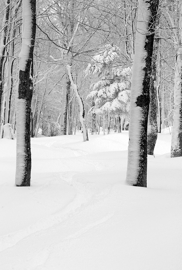
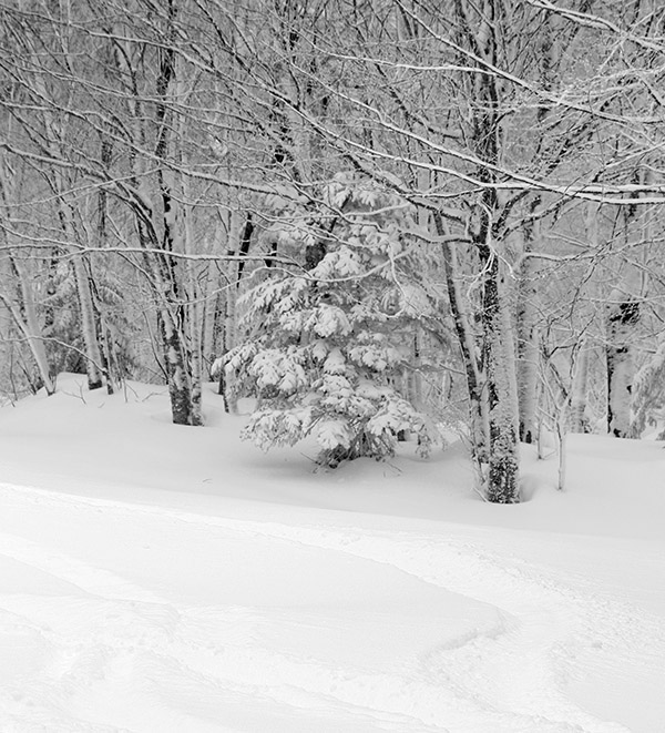
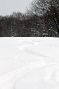
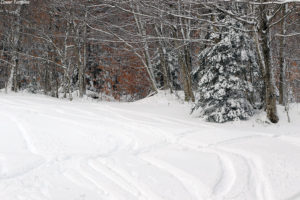
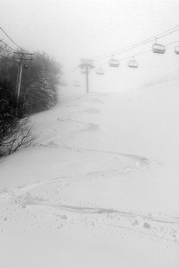
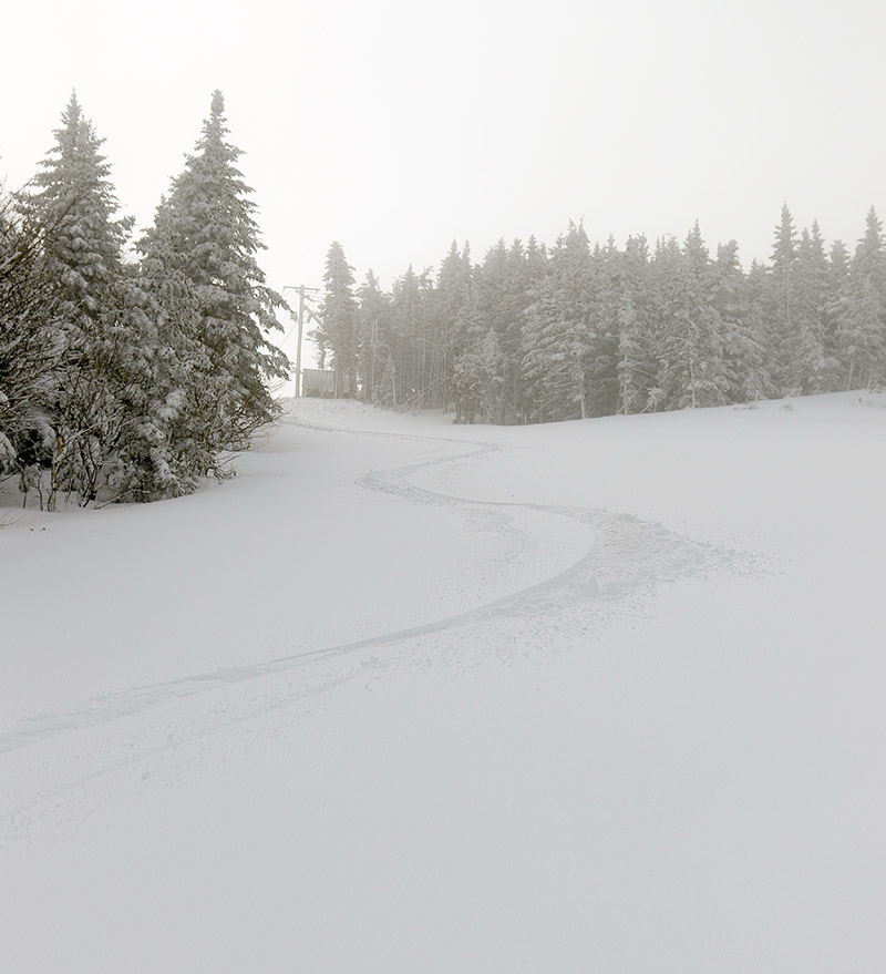
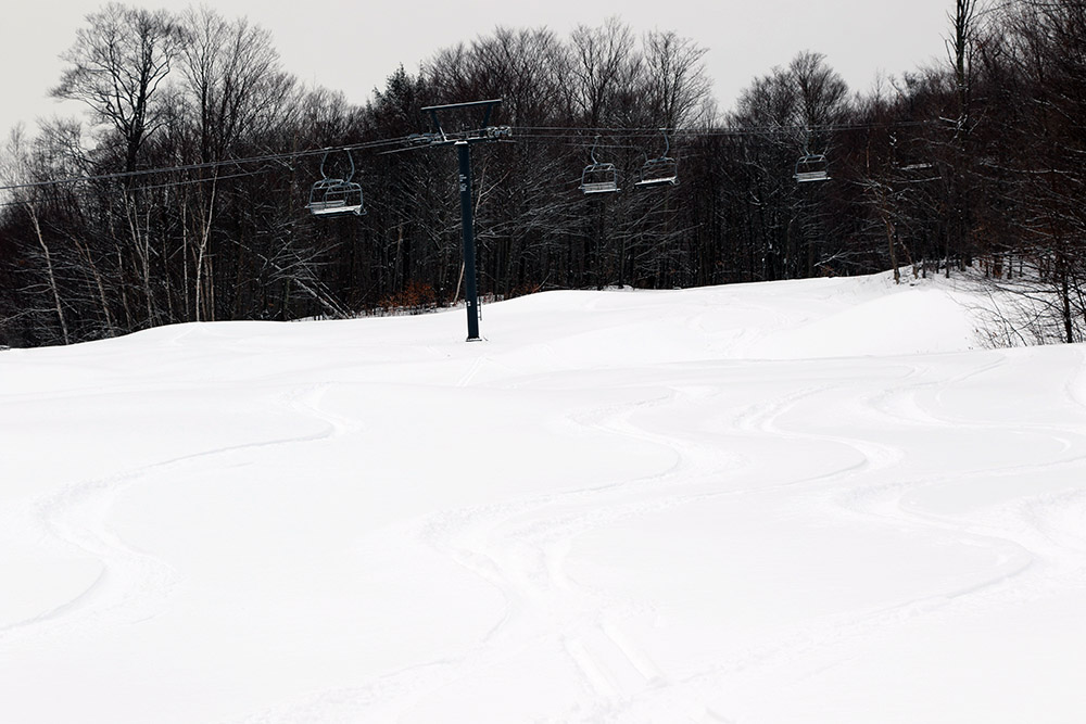
An image of ski tracks in powder at the Timberline area of Bolton Valley Ski Resort in Vermont
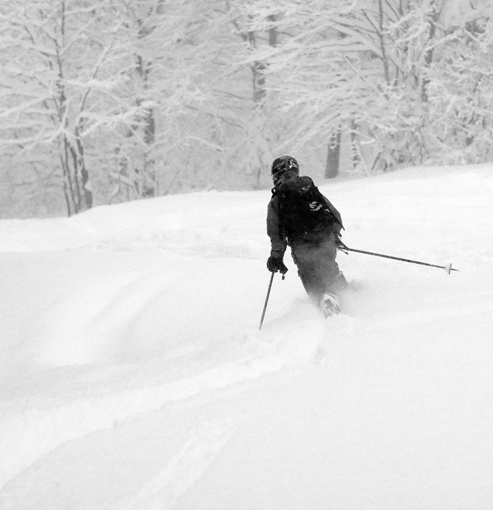
An image showing a ski track in powder on the Villager Trail at Bolton Valley Ski Resort in Vermont
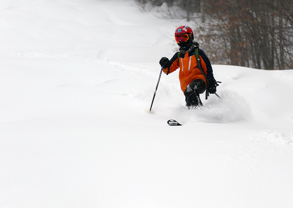
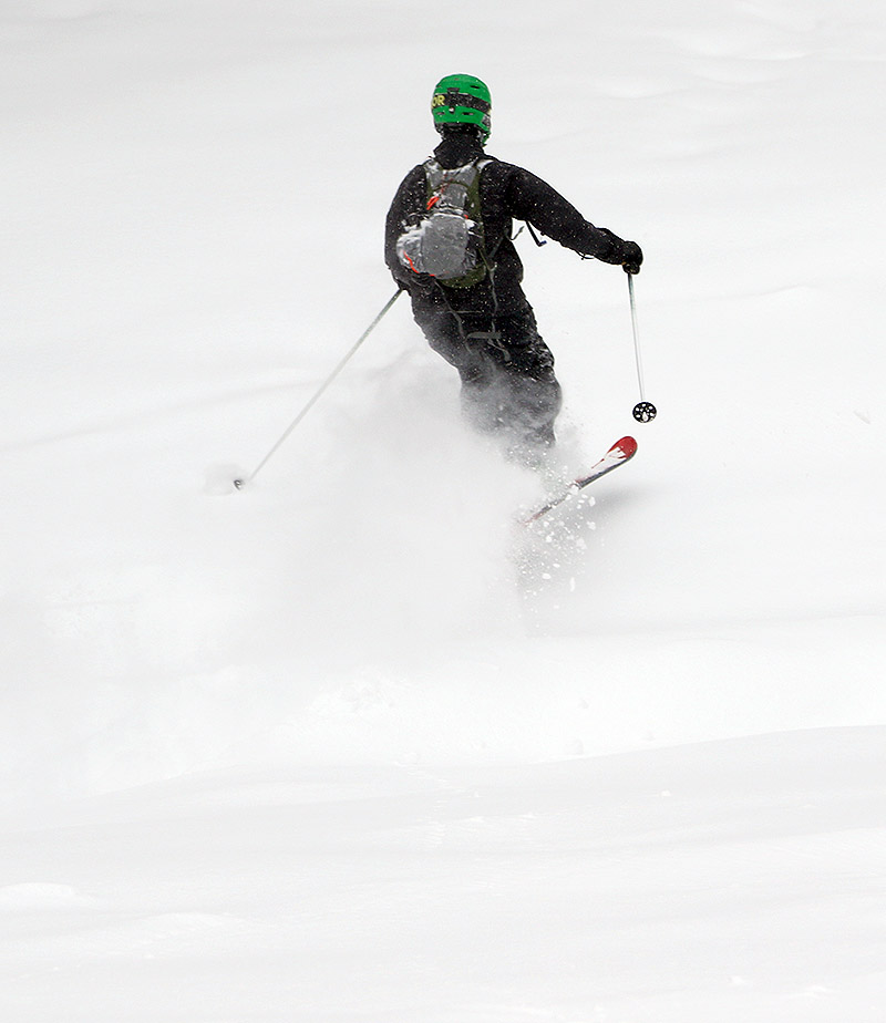
Catching first tracks on Bolton Valley’s Villager trail today thanks to some fresh powder from an overnight Alberta Clipper

An Alberta Clipper system came through the area overnight, dropping a half foot of snow at some of the local resorts by morning, so I headed up to Bolton Valley for a morning ski tour this morning.  With roughly 5 inches of new snow found at the house this morning, and the resort reporting the same, it didn’t seem like there was a huge elevation dependence with this event.  Plus, now that the bullwheel replacement on the Timberline Quad and associated operations are finally done, Timberline is back open for ski touring, so I figured I’d get to check out the conditions there for the first time in a while.

“…I found a very even coating of about 5 inches of new snow at the Timberline Base (1,500’) and roughly 5 to 6 inches up at the Timberline Summit (2,500’).”

Temperatures were in the mid to upper 20s F with light snow falling and zero wind, so we’re talking super friendly conditions to be out on the hill.  Since wind was pretty minimal during this event, I found a very even coating of about 5 inches of new snow at the Timberline Base (1,500’) and roughly 5 to 6 inches up at the Timberline Summit (2,500’).
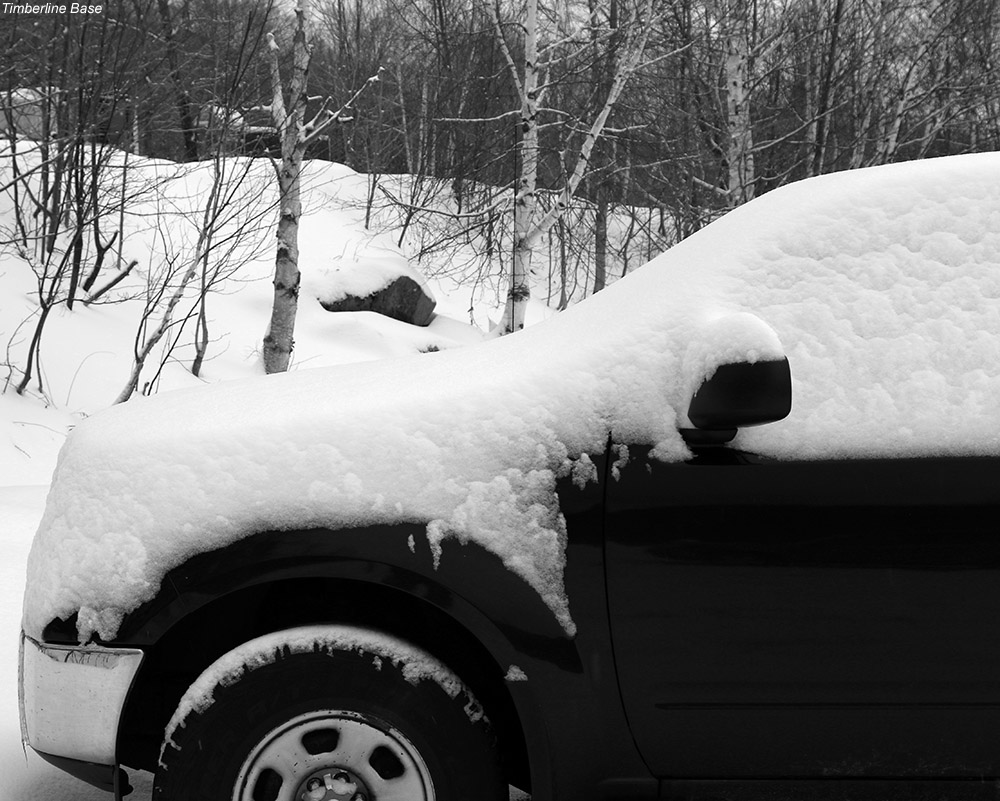
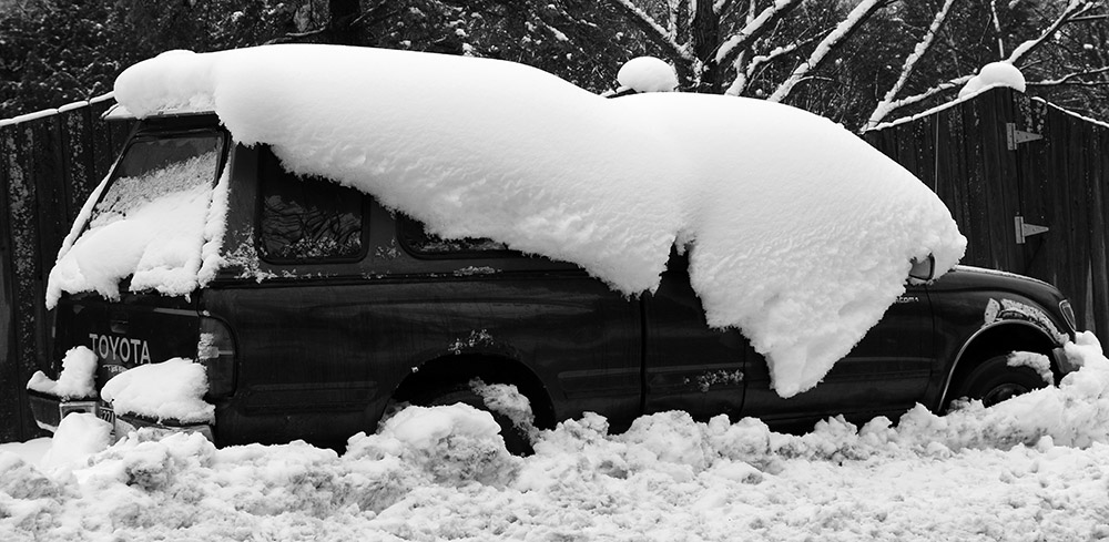
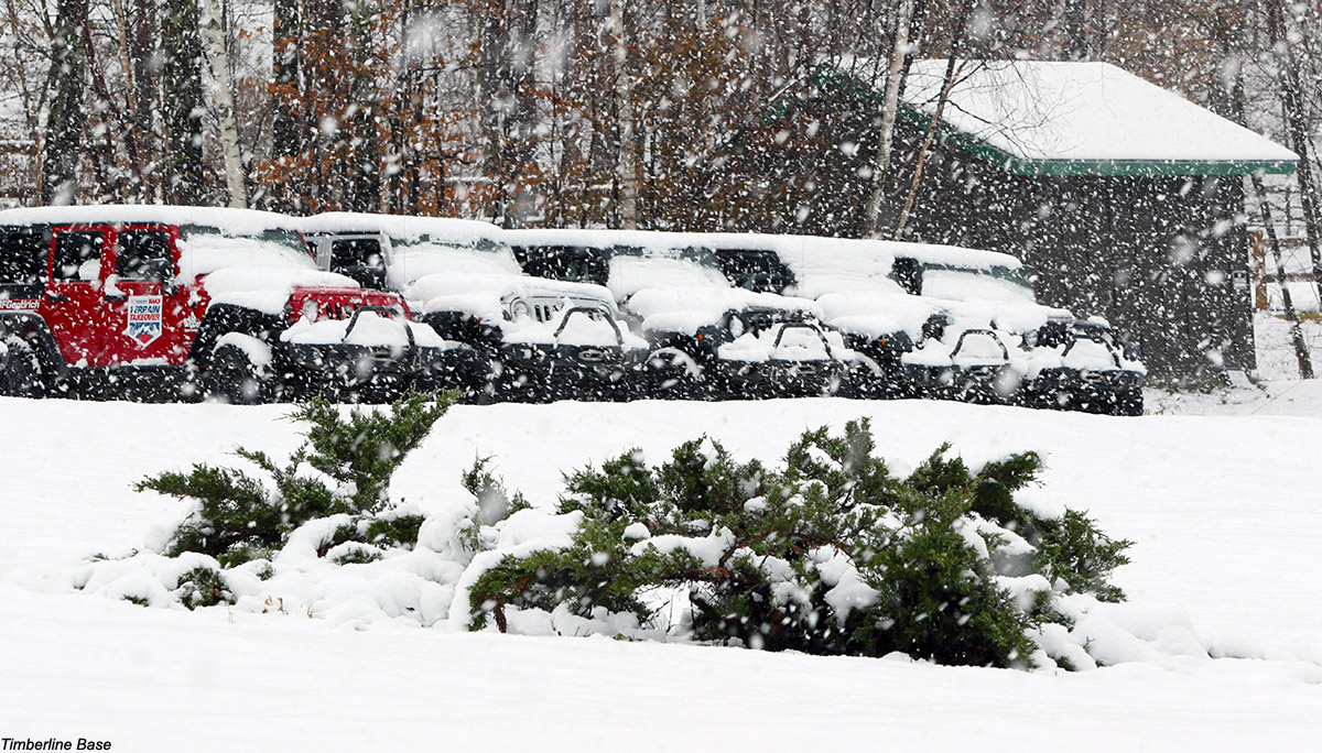
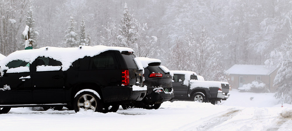
An image of a car with fresh snow on it in the parking area near the Timberline Base Lodge at Bolton Valley Ski Resort in Vermont
Today’s new snow on one of the vehicles in the Timberline parking area

The new snow was excellent dry powder in the 20 to 1 range for snow to water ratio, and there’s generally plenty of base, but the consistency of the base is horrible.  It’s rock hard, and in a few exposed places that had presumably seen flowing water, there was simply clear ice as the top layer of base.  There was a nice established skin track in place on the Twice as Nice ascent route, but the ascent was definitely the most challenging part of the tour.  Slightly steeper spots with just powder on ice provided little grip, and you could see that in those areas some people had to diverge out from the main skin track and take shallower routes due to lack of grip with their skins.  Fortunately there were only a handful of spots like that, but navigating them was a definite challenge.  It’s good that there wasn’t much wind with this event because scoured areas would be a nightmare.

“The new snow was excellent dry powder in the 20 to 1 range for snow to water ratio, and there’s generally plenty of base, but the consistency of the base is horrible.”

After seeing the conditions on my ascent, it was obvious that the best bet for a descent was going to be something that had previously groomed, and had a fairly shallow angle.  So, I headed down Villager from the Timberline Summit, and that was an appropriate pitch.  I still had to hit a couple of blue/black pitches on Sure Shot on my route, and there was no way to avoid touching the hard subsurface there, even on 115 mm boards.

The Lower Turnpike area with its nice mellow pitch would probably have offered up the most consistent bottomless turns today, but it was nice to get a chance to get out on Timberline again.  I can’t imagine there was any point to skiing ungroomed terrain before this latest storm, and this snow isn’t going to be able to hold up to much traffic, but there are definitely some nice powder turns to be had on terrain of the appropriate pitch.
Bolton Valley, VT 18DEC2018

An image of a ski track in powder snow in the Wilderness Woods area at Bolton Valley Resort in Vermont
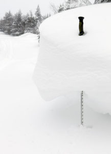
An image of snow drift near the Wilderness Summit area at Bolton Valley Ski Resort in Vermont
One of the impressive snow drifts I found while ski touring near the Wilderness Summit today at Bolton Valley. Our recent bout of upslope snow brought some nice accumulations of powder, but also a shot of wind as well!

This week, the pace of winter storms and snowfall has slowed down a bit here in the Green Mountains compared to what we were seeing at the beginning of the month, but the weather models have been suggesting the chance for some of our classic upslope snow on the back side of this latest system.  Scott put together a nice summary of the event’s potential at Braatencast, and it certainly looked like we’d have a chance for some decent powder turns today.

With the intensity of the snowfall at our house yesterday evening, it was pretty clear the mountains would have at least a few inches of new snow, so I planned to catch some turns in the morning.  When I checked the Bolton Valley snow report this morning, I was sort of surprised to see the mountain only reporting 4 inches of new snow, especially since we’d already picked up about 5 inches down at the house.  I figured that they might have missed out on some of the snow because it was blowing downwind of the Green Mountain Spine, but after touring around at the resort today, I can say that definitely wasn’t the case.

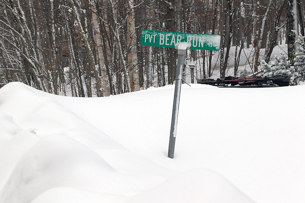
An image of the Bear Run street sign in deep snowbanks along the Bolton Valley Access Road near Bolton Valley Ski Resort in Vermont
As I drove up the Bolton Valley Access Road, it was very obvious in places that hadn’t been scoured by wind that the mountain had seen a good shot of fresh snow.

I was actually planing to earn some turns and ski tour a bit before the lifts opened at 9:00 A.M., but I was up there later than I’d hoped and it was right around opening time.  That didn’t matter too much though, because winds were fierce and the Vista Quad wasn’t even running, so I just headed off to Wilderness for a tour as I’d initially planned.

An image showing the depth of powder found on the Peggy Dow's trail at Bolton Valley Ski Resort in Vermont after a mid-December upslope snowstormWith those harsh winds, you’d be hard pressed to know that much snow fell at all from just looking around the base area parking lots.  The accumulations were really patchy on a lot of snowbanks because the new snow had been ripped away and sent elsewhere.  Once I got onto the skin track on Lower Turnpike and out of the wind though, the actual snow accumulations became apparent.  Indeed I’d say that the 4 inches reported was a safe way to go in terms of being conservative, but aside from scoured areas, that definitely represented the low end of accumulations I encountered.  Omitting the extremes of drifts and scoured areas, my checks revealed settled snow depths of 4 to 10 inches throughout my tour.  That wasn’t really elevation dependent, it seemed to just be a factor of how the snow sifted down in various areas.  Drifts I found up around the 3,000’ elevation were generally in the 2 to 3-foot range, though there were some bigger ones as well of course.

“Omitting the extremes of drifts and scoured areas, my checks revealed settled snow depths of 4 to 10 inches throughout my tour.”

The skiing was obviously much different than what you would get from just four inches of fluff.  With a number like that I’d be expecting to get good turns on only low angle terrain, but bottomless turns were pretty standard all the way up to about single black diamond pitch as long as the subsurface was smooth.  I was on my 115 mm boards, but one could certainly still float on something skinnier.  I’d say the storm must have put down a half inch of liquid or so on the mountain based on what I was skiing.

Upon reaching the Wilderness Summit on my tour, I started down Bolton Outlaw, thinking it would be pretty smooth from minimal early season traffic.  It wasn’t long before I realized that the Wilderness Lift has indeed run this season (I actually rode it with Stephen on opening day), so there’s been enough skier traffic to produce some moguls.  I was definitely hitting the subsurface with the steep pitch and moguls, so I quickly dove off into the Outlaw Woods, and the turns in there with a smooth subsurface turned out to be just about perfect.  I was also able to get first tracks in the lower Wilderness Woods, and they were excellent as well.  Getting into the trees was generally a great option because the snow had settled in there very nicely thanks to protection from the wind.  I hung around for a couple of lift-served runs off the Snowflake Lift, and with the typical low traffic there I found plenty of untracked snow.

An image showing ski tracks in powder snow on the Lower Turnpike trail at Bolton Valley Resort in Vermont
In areas where winds hadn’t affected the snow today, the turns were simply wonderful in up to 10 inches of powder.

This was definitely an upslope snowfall event that was focused on the mountains.  When I left the resort and headed west toward the Champlain Valley, snow accumulations really tapered off.  There was just a bit of accumulation in the Richmond Village area and it seems like just a trace to nil in the Burlington area.

We’ve got a warmer weather system expected to affect the area at the end of the week, so the next chance for snow won’t be until Saturday afternoon into the evening on the back side of that storm.

Bolton Valley, VT 29NOV2018

An image of a truck along the Bolton Valley Access Road covered with snow from Winter Storm Bruce
A trail sign covered in snow at Bolton Valley Ski Resort in Vermont
A sign of the times – dense snow sticking to anything and everything thanks to Winter Storm Bruce

It’s been snowing now for four days, but Winter Storm Bruce is finally starting to wind down.  Bolton Valley is reporting a storm total of roughly 32 inches, and based on the 2.26 inches of liquid equivalent we’ve picked up here at the house, the new snow at the mountain must contain at least that much liquid.  That’s a fantastic addition to the early season snowpack.

I had some time this morning, so I headed up to the Bolton Valley Village for a ski tour from the main base.  Temperatures that were a degree or two above freezing in the valley with easy driving conditions gave way to temperatures in the upper 20s F, snowfall, and wind at 2,000’.  The main skin track on Lower Turnpike was in great shape, so the going was easy on my ascent.  Although there’s been more snow since my Tuesday outing with Ty, it’s settled now, so the overall feel is definitely denser.  The checks I made throughout my tour revealed a settled depth of 22 inches pretty consistently, so I’d say that’s where the recent snow sits.  There’s also been more wind over the past couple of days, so protected areas definitely offer the best turns.  The skiing definitely has a Pacific Northwest feel – that feeling that you can basically go anywhere you want and you’re not going to hit anything below because the dense snow is going to protect you.  The feel in the valleys fits right in as well, with temperatures right around freezing, and dense, dripping snow caked on all the trees – and any other objects upon which is sits.

“The checks I made throughout my tour revealed a settled depth of 22 inches pretty consistently, so I’d say that’s where the recent snow sits.”

As of today’s snow report, Bolton is indicating an impressive season snowfall total of 84 inches.  In terms of the local mountain snowpack, the snow at the Mt. Mansfield Stake hit 46 inches today, which appears to be the deepest November snowpack on record.  What a November it’s been on the slopes!

Bolton Valley, VT 27NOV2018

An image of Ty Telemark skiing in 18 to 20 inches of fresh powder from Winter Storm Bruce at Bolton Valley Resort in Vermont
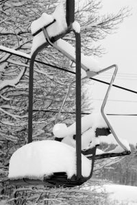
An image of one of the chairs on the Wilderness Chairlift filled with snow from Winter Storm Bruce at Bolton Valley Ski Resort in Vermont
Winter Storm Bruce unloaded its snow on Bolton Valley today – we measured 18 to 20 inches of new snow during out afternoon ski tour at the resort.

Today our area has been under the influence of Winter Storm Bruce, a low pressure system that’s crossing through New England and bringing copious amounts of moisture with it.  School was cancelled for Ty due to the storm, so I came home a bit early in the afternoon with the hopes of getting together for a ski tour up at Bolton Valley.  There was some very heavy snowfall in the early afternoon period that was easily putting down an inch or two of snow an hour, so I was a bit leery about trying to negotiate the Bolton Valley Access Road under such conditions.  But, the heavy snow let up a bit in the midafternoon timeframe, and we figured the plows would be able to keep up with it so we headed out.

The Bolton Valley website indicates that the Timberline area is strictly closed to traffic right now (perhaps due to chairlift work) so we headed up to the main base for our tour, and that turned out to be a great starting point.  The amount of snow that the Village picked up from this storm was quite impressive – we both did numerous depth checks and found 18 to 20 inches of snow at 2,000’.  The depth of the new snow was essentially the same all the way up above 3,000’, so I’d say that everything from this storm fell as snow at least down to the Village level.

An image of snowplow piles and snowy trees during Winter Storm Bruce at Bolton Valley Ski Resort in Vermont
Up in the Bolton Valley Village today, the scene was incredibly snowy thanks to Winter Storm Bruce

There was a great skin track set on Lower Turnpike, which was a godsend with so much fresh snow.  Temperatures were in the upper 20s at 2,000’, so all the snow up there was quite dry.  It certainly wasn’t Champlain Powder™ fluff, but it was medium-weight powder with a right-side-up distribution and the skiing was fantastic – definitely a day for the fat boards.  Ty was on E’s 115 mm Black Diamond Element Telemark boards, and he really likes the way they handle the powder.  I knew we’d need some steep pitches to handle this snow, so that’s what we sought out, and the skiing was simply fantastic.  This storm brought plenty of liquid equivalent in the snow (1.5 inches of total liquid form the storm even down at our house in the valley) so it’s covered everything really well and there’s not much to worry about with such a substantial base already in place ahead of this storm.

An image of Ty Telemark skiing during Winter Storm Bruce at Bolton Valley Resort on Vermont
Ty enjoying the float of Mom’s 115 mm Black Diamond Element skis on our ski tour today as he tackles the snow from Winter Storm Bruce

The actual action photography was quite a challenge today because we’re talking fairly late afternoon, late November light, and snowfall, but I used my brightest lens (Canon EF 50mm f/1.2L USM) and we did our best with the light we had.  Bolton Valley is now reporting 66 inches of snow on the season, which is a great way to get rolling in November.

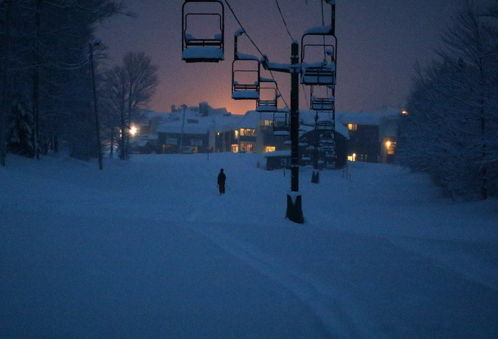
An image of Ty finishing a ski tour at dusk with the glow of the Bolton Valley Village behind him at Bolton Valley Resort in Vermont
Finishing our ski tour toward the glow of the Bolton Valley Village as darkness descends.

Bolton Valley, VT 21NOV2018

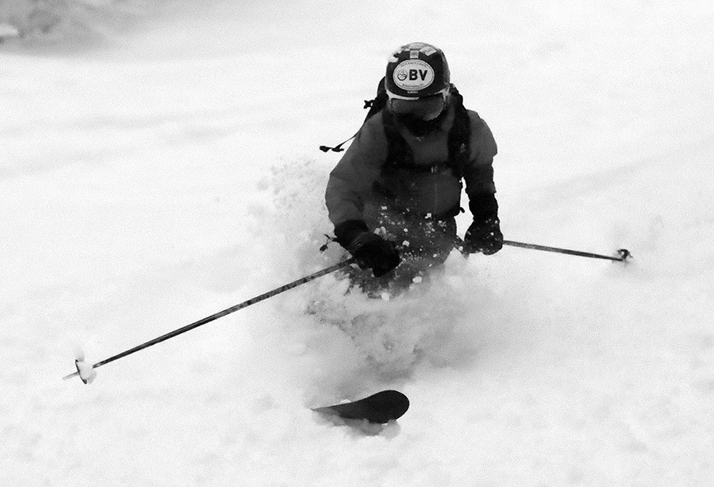
An image of Dylan skiing powder after a snow squall at Bolton Valley Resort in Vermont
An image of ski tracks in powder snow at Bolton Valley Resort in Vermont
Today’s ski tour was quite an outing with heavy snow squalls and lots of fresh tracks.

The big synoptic snowstorms from last week put down a lot of base on the slopes, and this week has followed up with some modest refresher storms to keep the powder fresh.  Today’s feather weather event was the passage of an arctic cold front with very impressive snow squalls that reduced visibility to near zero at times – and we were on a ski tour at Bolton Valley just as the first barrage of heavy snow hit the mountains.

An image of Johannes skinning during a ski tour at Bolton Valley Resort in VermontStephen and I had been talking about getting out together for a ski tour at the mountain during this holiday week, and things lined up today so that Johannes and Dylan could join us.  I planned on a tour that would bring us from Timberline up to the trails of the main mountain, shooting for some of those lesser used routes to get everyone some fresh tracks.  We began mid-morning with light flakes falling, and the snowfall gradually ramped up to a steady, heavy level of intensity with big flakes as we made our way toward Cobrass.  While we were switching over our gear for the descent, a big squall enveloped the mountain.  Snowfall rates were off the charts, with visibility down to less than 100 feet at times.  It was the kind of snowfall where you put your gear down for a few moments, and small stuff could be easily lost because of how fast it became covered.

An image of Johannes jumping a water bar during a ski tour at Bolton Valley Resort in Vermont
Johannes with a bit of air as he negotiates a powdery water bar on today’s ski tour

“Snowfall rates were off the charts, with visibility down to less than 100 feet at times.”

The descent portion of the tour brought us some great fresh powder on routes like Five Corners, Sure Shot, and Tattle Tale.  It’s getting hard to tell exactly how much base is down now after so many recent storms, but I was generally getting depths of 15 to 20 inches, with much of that powder.  Everything was also topped off with a couple more inches that fell during the tour itself due to the intense snowfall.

Tomorrow is going to be an impressively cold Thanksgiving day, with highs in the mountains around here in the single digits F, so I think it will be nice being inside enjoying some holiday food.  Bolton Valley is actually planning to run the lifts on Saturday, at which point it should be much warmer.

Bolton Valley, VT 10NOV2018

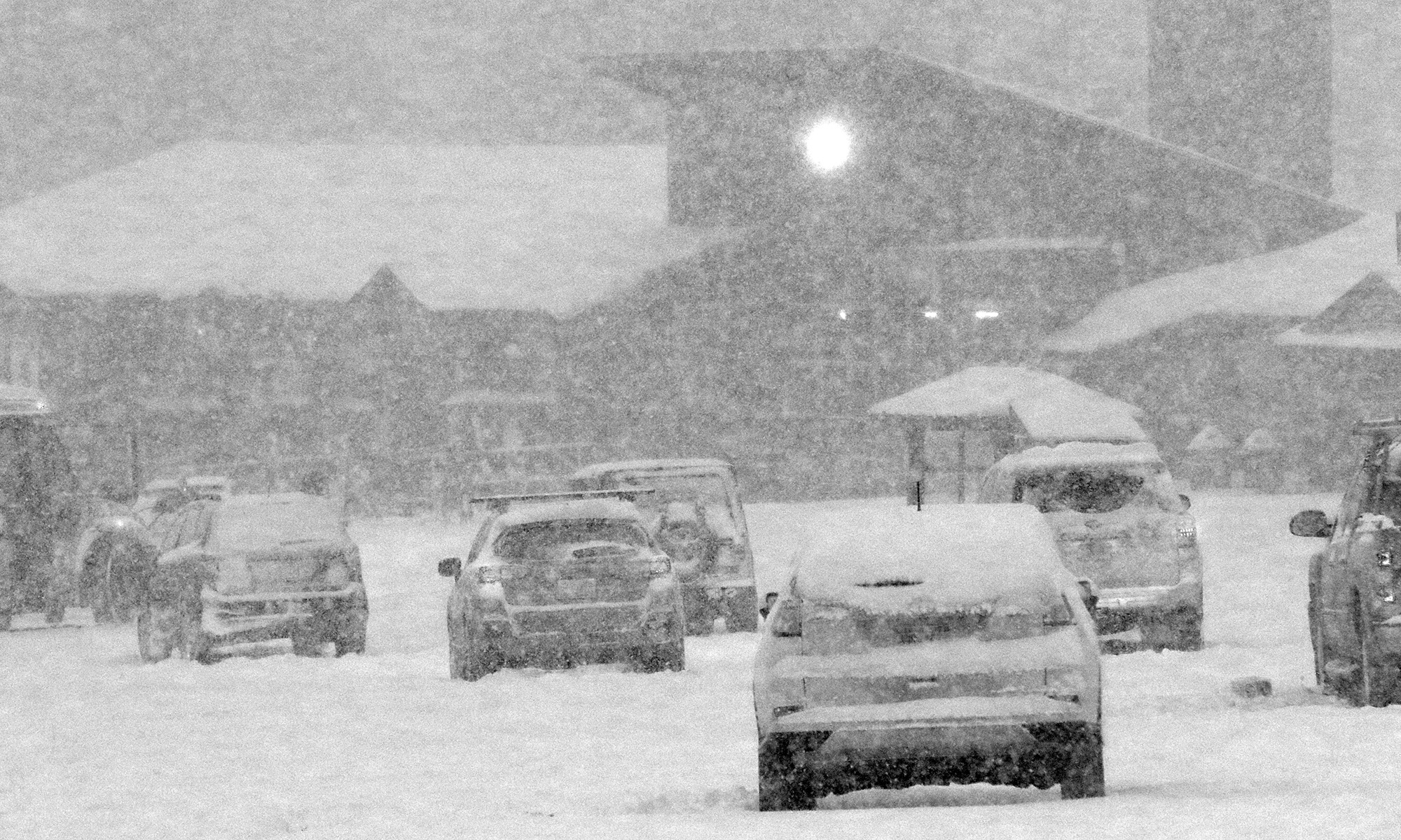
An image showing some of the four-wheel drive vehicles parked at the Timberline base area of Bolton Valley Resort in Vermont as heavy snowfall fills the arir from a November snowstorm
An image of ski tracks in powder snow on the Lower turnpike trail at Bolton Valley Ski Resort in Vermont
Our most recent storm brought plenty of snow for powder skiing in the Northern Greens.

You can put away the rock skis for this storm.  Indeed the Northeastern U.S. has been under the influence of a double-barrel low pressure system that the weather models have been showing for more than a week, and it’s finally delivered a healthy shot of snow to the Green Mountains.  With one low pressure system traveling through the eastern Great Lakes, and another up the New England coast, there was some warm air involved in this event, but the precipitation in the mountains has generally been frozen, and it’s been plentiful. 

“There’s definitely a nice density gradient to give you those easy powder turns with ample protection below.”

Most of the mountain valleys even picked up some snow, but when the snow began yesterday afternoon, the eastern slopes seemed to be the areas getting the most precipitation and notable accumulations even in the valley bottoms.  I was hoping to head up to Bolton Valley for some turns today, but the lower accumulations in the valleys of the western slopes had me wondering how the resort had done with respect to snowfall.  They don’t have their webcam in operation yet, and they’re not making immediate snow reports, so I quickly popped up to the mountain this morning to assess the potential for turns.

Signs of leftover snow like we had at our house disappeared as I dropped down into Bolton Flats, and at the base of the Bolton Valley Access Road (340’) there was no accumulation.  There weren’t even any signs of white until I hit 1,000’.  So I’d say that indeed, accumulating snow levels were definitely lower in elevation on the eastern slopes – snow at 1,000’ in the Bolton Valley area was about equivalent to 500’ at our house slightly east of the spine.  The snow depths did eventually did go up dramatically with elevation however.  I found 3 to 4 inches at the Timberline Base (1,500’) and up in the Bolton Valley Village (2,000’) there were 6 to 8 inches on the ground with heavy snowfall adding to that by the minute.  The resort was clearly all set in terms of snow, so I hoped to head back up in the afternoon for a tour when I had sufficient time.

An image of November snow in the Bolton Valley Village at Bolton Valley Ski Resort in Vermont
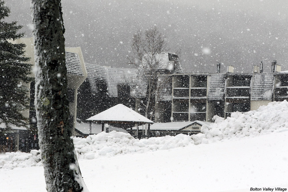
Snowfall and plentiful snow on the ground in the Bolton Valley Village today

After visiting the ski swap in Waitsfield in the early afternoon, I was able to head back up to Bolton Valley in the midafternoon period to get in that ski tour.  The accumulations I’d see in the Village in the morning just continue to increase as I skinned up toward the summits, and all told I found the following accumulation profile with respect to elevation:

340’: 0”
1,000’: Trace
1,200’: 1”
1,500’: 3-4”
2,000’: 6-8”
2,100’: 8-9”
2,500’: 10-12”
3,000’: 12-14”

I did get readings as high as 16” on the upper mountain, and one drifted spot with 20”, but I’d say 12-14” is a decent measure of the top end I found for depth.  It seemed like there was some old snowpack up high, but I don’t think it interfered with measurements of the new snow because it should have been pretty solid by now.

An image of afternoon light from the top of Bolton Valley Ski Resort in Vermont
Afternoon light and mountains off to the west as I begin my descent from the top of Bolton Valley

Even base temperatures had dropped into the 20s F when I was up there in the midafternoon, and my thermometer was showing 19 F when I was up at the Vista Summit, so the snow wasn’t wet at all.  Below ~2,500’ there was a thick layer in the snowpack that was only an issue in wind scoured areas.  I’m not sure when that developed (maybe during the warmest part of the storm), but today’s additional snow sort of mitigated that, at least with the 115 mm skis I was on.  Above 2,500’ it didn’t seem like that layer was even present, and turns were fantastic in midwinter snow.  There’s definitely a nice density gradient to give you those easy powder turns with ample protection below.  With tonight’s temperatures, the only enemy of the powder would be wind, so the good snow should be there a while for those who want get after it.

Stowe, VT 27OCT2018

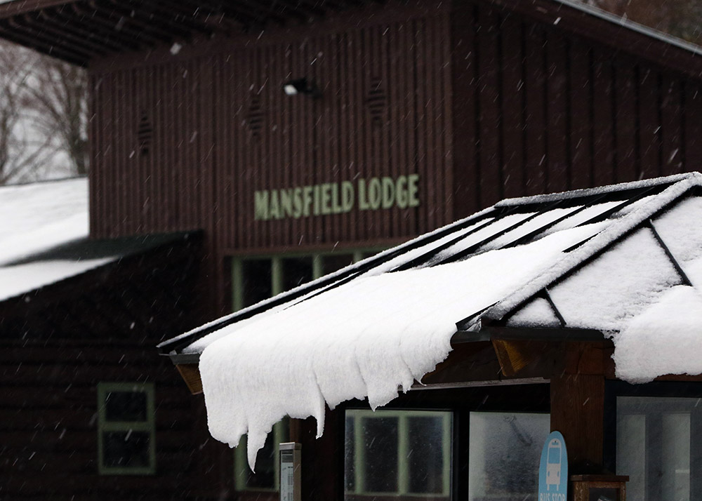
An image of snow sliding off a roof in front of the Mansfield Base Lodge at Stowe Mountain Resort in Vermont as an October nor'easter affects New England
An image the Crossover trail and mountains in the background at Stowe Mountain Resort during an October snowstorm
Views on my ascent of the Crossover trail with the mountains in the background obscured by snowfall

It’s been quite a while since I last used my “rock skis”.  Although I’ve certainly gotten out for many early- and late-season turns over the past several seasons, I just haven’t had to worry much about conditions that were going to damage my skis.  Late-season snow is dense, for the most part covering rocks where it’s present, and our early-season storms of late have generally been substantial enough that I wasn’t concerned about rocks on the terrain I was skiing.  This year has been a bit different here in the Northern Greens though, and rock skis turned out to be just the right choice for today’s outing.  We’ve had numerous rounds of snow in the mountains over the past couple of weeks, but none of the storms have been the type that really put down a big dump of 6 to 12 inches or more at once.  New Hampshire did get a big shot of snow from the last storm that hit, but over here in the Greens we’ve just been adding an inch or two here and there.  Those smaller bouts of snow have added up over the past couple of weeks though, and with the nor’easter affecting the area today, it finally seemed like it would reach that threshold of base depths to lure me out to the slopes.

“Up by the Mountain Chapel, the 3 to 4 inches of dense snow on the smooth surface of the Toll Road really produced some excellent floaty turns.”

There wasn’t a lot of cold air around ahead of this nor’easter, so the forecasts called for at best a few inches of snow in the higher elevations.  Based on Powderfreak’s Stowe reports however, there were 3 to 5 inches of snow already on the slopes at Stowe, and even a couple more would be enough to get me interested in checking out the potential for some turns.

As the nor’easter approached, snowfall at our house in Waterbury began mid-morning, and then in the midafternoon Mother Nature really turned on the spigot and we got into a period of heavy snowfall composed of big wet flakes up to 2 inches in diameter.  With the heavy snow falling it seemed like as good a time as any with respect to catching any new accumulations on the slopes before any potential mixed precipitation.  I was planning to take an initial look at Bolton Valley to see how the snow was up there, but the Bolton Valley Access Road still hadn’t been plowed as I started up, so I didn’t go very high before I decided it was best to turn around.  There was no way I wanted to try heading all the way up to the Village above 2,000’ on an unplowed road.

An image of the Mansfield Base Lodge at Stowe Mountain Resort in Vermont with snowfall during an October storm
Mansfield Base Lodge

In line with my plans, I next headed off to Stowe for some skiing, and I was fairly confident that the driving would be fine with the route at mostly low elevation.  Indeed the driving was fine, and unlike Waterbury, the town of Stowe really hadn’t picked up any snow, so that made the drive very easy. Rain through the valley switched to mixed precipitation as I approached the base elevations of the resort at 1,500’, and I found a solid covering of 1 to 2 inches of snow on the ground at the Mansfield Base Lodge where I parked.  I’d brought two pairs of skis and skins, and after surveilling the area I decided that the rock skis were the way to go for a more enjoyable descent because I wouldn’t have to work too hard trying to avoid any rocks.

An image of a small evergreen with snow on its boughs during an October snowstorm at Stowe Mountain Resort in VermontI wanted some mellow, grassy slopes for my tour, so I headed up in the area of the Mountain Triple Chair toward the Stowe Mountain Chapel.  The mixed precipitation that I’d found when I first arrived changed over to all snow as I began my ascent, and I really needed the hood of my coat at times due to the intensity of the precipitation.  I quickly found 3 to 4 inches of snow on the grassy slopes, which is about where the depth stayed up to the Mountain Chapel at ~2,300’.  Although I could have used my skins, I never really needed them because once I got up to the Crossover road I was able to simply walk in my Tele boots easily.

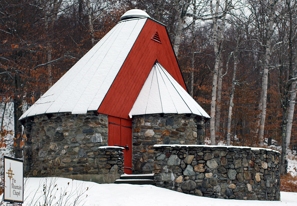
An image of the Mountain Chapel in an October snowstorm at Stowe Mountain Resort in Vermont
Stowe Mountain Chapel along the Toll Road

I really thought that the grassy slopes would offer the best skiing, but it turned out that the service roads were the best.  Up by the Mountain Chapel, the 3 to 4 inches of dense snow on the smooth surface of the Toll Road really produced some excellent floaty turns.  The Crossover Road isn’t nearly as smooth, and the snow depths did drop a bit on the descent, so nothing compared to the turns up on the Toll Road.  On the grassy slopes, the depth of the cut grass relative to the few inches of snow, combined with my fairly skinny rock Tele skis, made turns much more challenging.  I was low enough down in the grass that there was substantial resistance to making any short-radius turns.

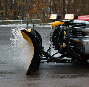
An image of a plow spraying some very slushy snow at Stowe Mountain Resort in Vermont after an October nor'easter snowstorm
Plowing some snow so slushy it looked like water in the Stowe parking lot

The snowfall had let up for the most part by the time I’d descended back to the base, but the weather show wasn’t quite over.  I got to see some plowing of the parking lot, and the slushy snow was so wet that it was almost as if the plow was simply plowing water!  This was the 4th storm with accumulating snow at our house this October, and based on my count, it was the 6th storm with snow for the mountains, so we’ve really had quite a run.  It might not be the last of our October snow though; we may get a couple of chances through midweek before we get into a slightly warmer pattern heading into November.

Potent October snowstorm hits parts of Northern New England

On Tuesday, a fairly compact low pressure system formed off the New England coast and spread snowfall back into parts of Northern New England.  During the afternoon, mixed precipitation was falling at roughly the 1,500’ elevation near the bases of local resorts like Sugarbush and Stowe, with the accumulating snow line around 2,000’.  At the end of the day, Powderfreak sent in a nice picture to the NNE thread at the American Weather Forum showing the snow line at Stowe’s Gondola area.

The most impressive accumulations came on Tuesday night, with Wednesday morning revealing 5.1 inches in Derby Center, VT, 7 inches at Pinkham Notch, 11 inches of new snow in Randolph, NH, 17 to 18 inches in Tuckerman Ravine, and 18 inches atop Mt. Washington at the observatoryWildcat ski area picked up roughly a foot of snow and plans to open on Saturday with top-to-bottom skiing.  Back here in along the spine of the Northern Greens, Powderfreak was reporting 3 to 4 inches of snow for the upper elevations of Mt. Mansfield by Wednesday evening.

As of this evening, we picked up a bit of accumulation at our house in Waterbury, and Powderfreak was reporting a general 3 to 5 inches of total snow accumulation on Spruce Peak at Stowe.

There’s apparently a Nor’easter brewing for this weekend, although there’s not a ton of cold air around for the system to use, so the current forecast suggest snow will only be up near the summit elevations and fairly limited in amount.

Average date of first snowfall for Mt. Mansfield in Vermont

Having recently picked up our first snowfall of the season here in Vermont, reports and discussion in the New England Regional Forum at American Weather had people wondering where this event sat with respect to the average date of occurrence for the first snowfall on Mt. Mansfield.  I’d been curious about that date as well, so I used the data from the Mt. Mansfield co-op weather observations site, which comes from the ridgeline of the mountain up near the 4,000-foot elevation.  It’s a fairly substantial data set that goes all the way back to 1954, and Wesley Wright set it up to be available through the SkiVT-L site at UVM.

“The data suggest that our first snow of the 2018-2019 winter season from this past Saturday (October 13th) is a few days on the late side of the mean for first accumulating snow (October 10th), but overall quite typical.”

There are a couple of seasons that I couldn’t include in the statistical analysis because of gaps in the data collection early in the co-op site’s history, but there were still 62 seasons in the data set that provided useful information.  The data suggest that our first snow of the 2018-2019 winter season from this past Saturday (October 13th) is a few days on the late side of the mean for first accumulating snow (October 10th), but overall quite typical.  The full results from the statistical analysis are below, so have a look and think snow!

Date of 1st Accumulating Snow at Mt. Mansfield, VT Co-Op Station:

Mean:  10/10
Median:  10/8
Mode:  10/17
S.D.:  15 days
n:  62
Earliest:  8/28/1986
Latest:  11/17/1985

Bolton Valley, VT 30APR2018

an image of the Spillway trail at Bolton Valley Ski Resort in Vermont with ski tracks in fresh snow from a late April snowstorm
An image of Telemark powder skis at the start of a ski tour in late April at Bolton Valley Ski Resort in Vermont
Getting ready to set out on my tour from the Bolton Valley Village in today’s fresh snow

Our latest storm moved into the area yesterday, and it held the potential for some decent mountain snows.  Yesterday afternoon, I could see that a few inches of snow had already accumulated at the summit elevations at Sugarbush, but there was really just a trace in the mid mountain elevations, so it was unclear how low significant accumulations were going to go.  When reports started coming in from the west side of the Northern Greens, it turned out that snow levels were much lower there, with accumulations visible down to 800 feet in the Nashville area.  In line with those low snow levels, we were even getting snow here at the house, which is down at 500 feet.

I had initially contemplated heading to Stowe for some turns in the morning, thinking the terrain above 3,000’ would really be needed to get into some good snow, but those low snow levels on the western slopes definitely had me thinking about Bolton Valley as good option.  The overnight didn’t seem to bring about any substantial changes, so I stuck with that plan and headed to Bolton for a ski tour this morning. 

“I could tell right away as I began my descent that the density and consistency of the snow called for steep terrain, so I dove right down Spillway and that really hit the spot.”

Low clouds were obscuring the mountains by our house, but it seemed like the snow line this morning was down around 1,000’.  On my drive, the first signs of fresh snow accumulations were indeed right around the 1,000’ elevation on the Bolton Valley Access Road, and then the world just got whiter and whiter as I headed up. 

I started my ski tour at the Bolton Valley Village, which is a bit above 2,000’, so with the way this storm accumulated that meant decent coverage from there on up to the summits.  At the base elevations this morning the temperature was just edging above freezing in the 7:30 -8:00 A.M. timeframe, and the snow was definitely dense.  The fresh snow was wet, but not slushy or sopping at that point.  It was gradually falling of the trees on my ascent as the temperatures rose.  I headed up into cooler temperatures, but it was still warming all the way to the summit and I bet temperatures in the mid-30s F tracked with me as I ascended.

An image of cars covered in fresh snow from a late April snowstorm at Bolton Valley Ski Resort in Vermont
Bolton Valley Village today

Here’s a summary of the accumulations I found this morning for various elevations:

500’: 0”
1,000’: Trace
1,500’: 1-2”
2,000’:  3-7”
2,500’: 8-9”
3,000’: ~9”

An image of snow on evergreens during a ski tour in fresh April snow at Bolton Valley Ski Resort in Vermont
A snowy view from today’s ski tour

The larger range I’m reporting at the 2,000’ level was simply because I had time to get a sense for accumulations atop the different surfaces, with the low end being on paved or gravel surfaces, and the high end being on the existing snowpack, elevated surfaces, etc. 

In terms of what was out there on the trails for new snow, the numbers above show that there really wasn’t a huge bump in accumulations above 2,000’, so I’d say those elevations did fairly well in terms of maximizing whatever snow they were going to get out of the available moisture.  We had ~¾” of liquid in the rain gauge at the house this morning, so presumably the mountains are somewhere north of that.

“Even with 115 mm fat skis I was still touching the subsurface at times, but this snow was definitely dense enough to hold up pretty well on steep, aggressive turns.”

Although it can’t compare to the drier snow we had with last weekend’s storm, the turns were actually pretty sweet today.  I could tell right away as I began my descent that the density and consistency of the snow called for steep terrain, so I dove right down Spillway and that really hit the spot.  Even with 115 mm fat skis I was still touching the subsurface at times, but this snow was definitely dense enough to hold up pretty well on steep, aggressive turns.  I stuck with Beech Seal on the lower half of the mountain, and the pitch there was also quite sufficient for a lot of good turns.

An image of ski tracks in fresh snow on the Spillway Lane trail at Bolton Valley Ski Resort in Vermont after a late April snowstorm
Starting off the descent with some powder turns on Spillway Lane

Today was the last day of April, but it’s certainly been a decent one for snow.  It’s time to move on to May and see what it delivers for turns!