Bolton Valley Nordic & Backcountry, VT 15JAN2024

An image of evergreens along the Birch Loop trail past the Bryant Cabin on the Nordic and Backcountry Network at Bolton Valley Ski Resort in Vermont
An image of some of the glades below the Gotham City area with lots of untracked powder snow in the Nordic and Backcountry Network of Bolton Valley Ski Resort in Vermont
Heading down through some of the glades below Gotham City today during my tour on the Bolton Nordic and Backcountry Network

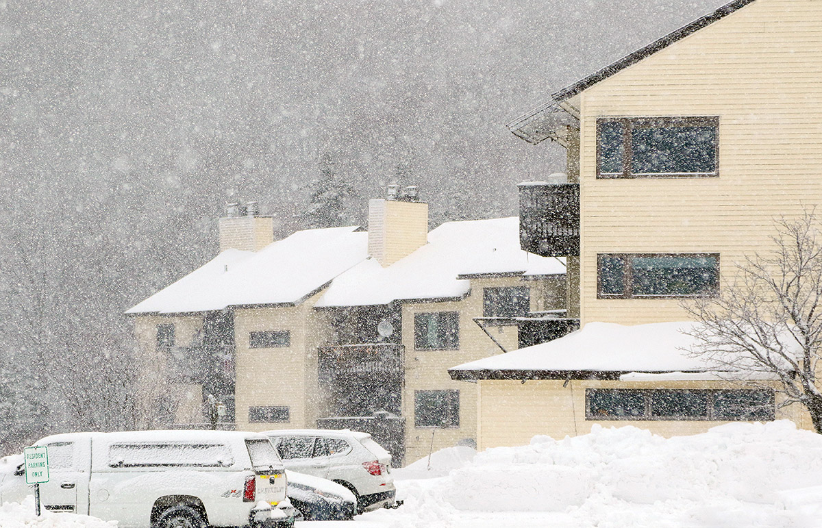
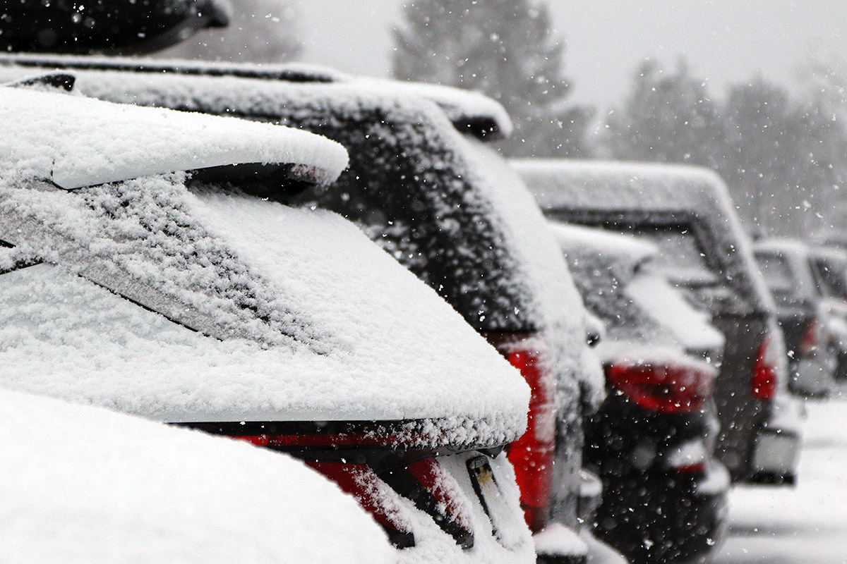
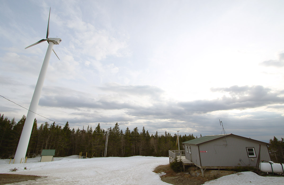
In this morning’s update, Bolton Valley  was reporting an additional 3-5” of snow from yesterday’s lake-effect snow and snow squalls. The other recent snowfall numbers they had in their report looked solid, with 12” in the last two days, 27″ since Tuesday night and more than 48” for the first half of the month. The season snowfall for the resort currently stands at 157”, and that’s very respectable since it’s already about half their annual snowfall average when we’re not even halfway through the snowfall season.  What makes that pace more impressive is that they’ve had all that snowfall despite the second half of December being quite lean on snow. That really speaks to how much has been falling up there during the snowier periods.

An image showing cars with snow in one of the Village parking lots at Bolton Valley Ski Resort in Vermont
A view of the cars nearby my parking spot showing the accumulations from recent snows in the area

There was no new snow falling today, which was somewhat notable because this morning’s snow report also indicated that if the current forecast for tomorrow’s snow comes through, they’ll be looking at 14 out of the first 16 days of 2024 with snowfall. With today’s break in the falling snow, I figured it was time to head out for a tour on the backcountry network as a reliable route to untracked powder.

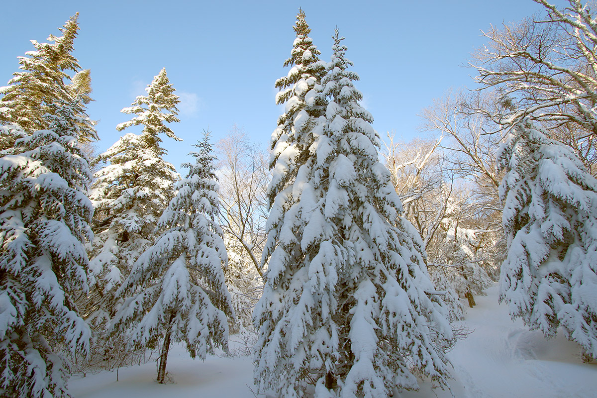
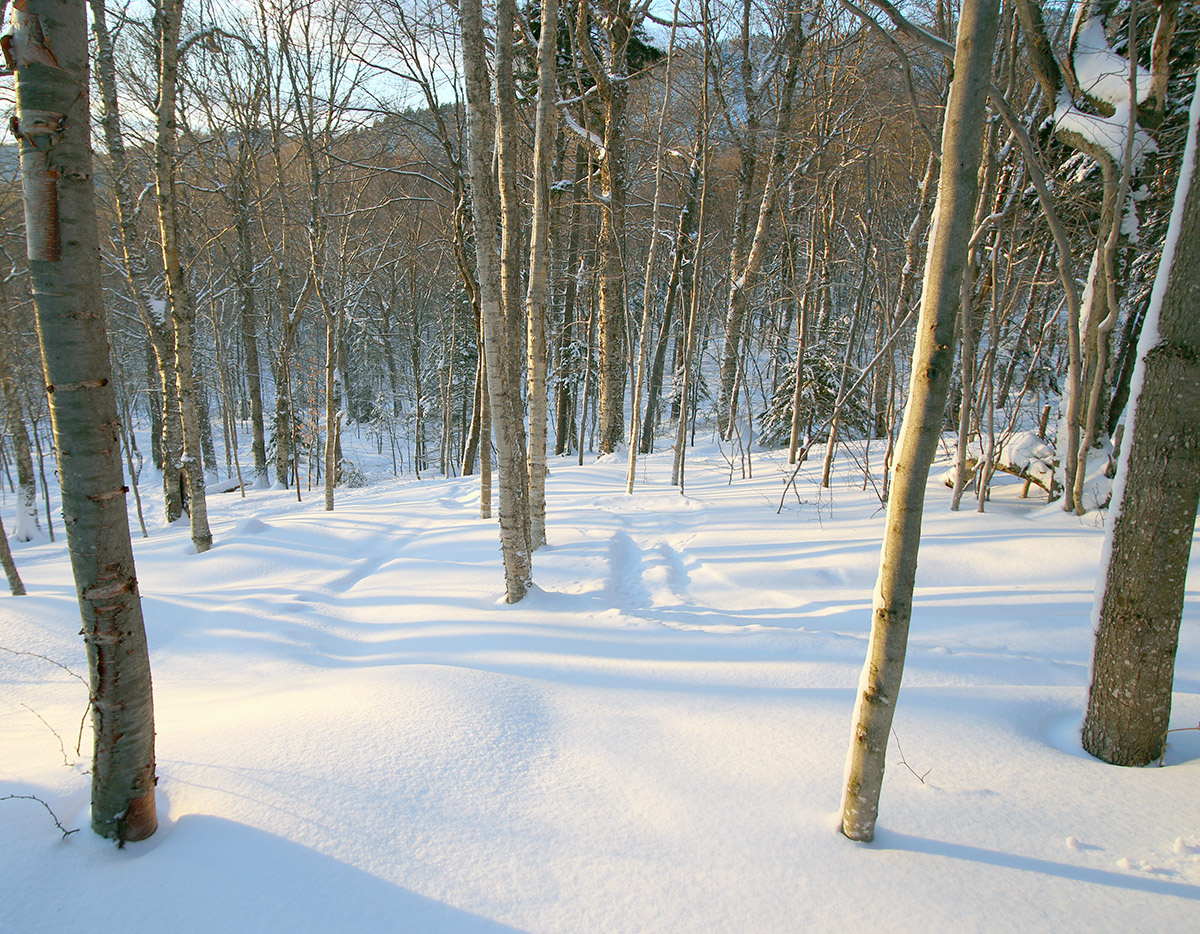
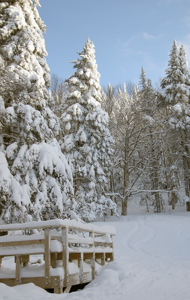
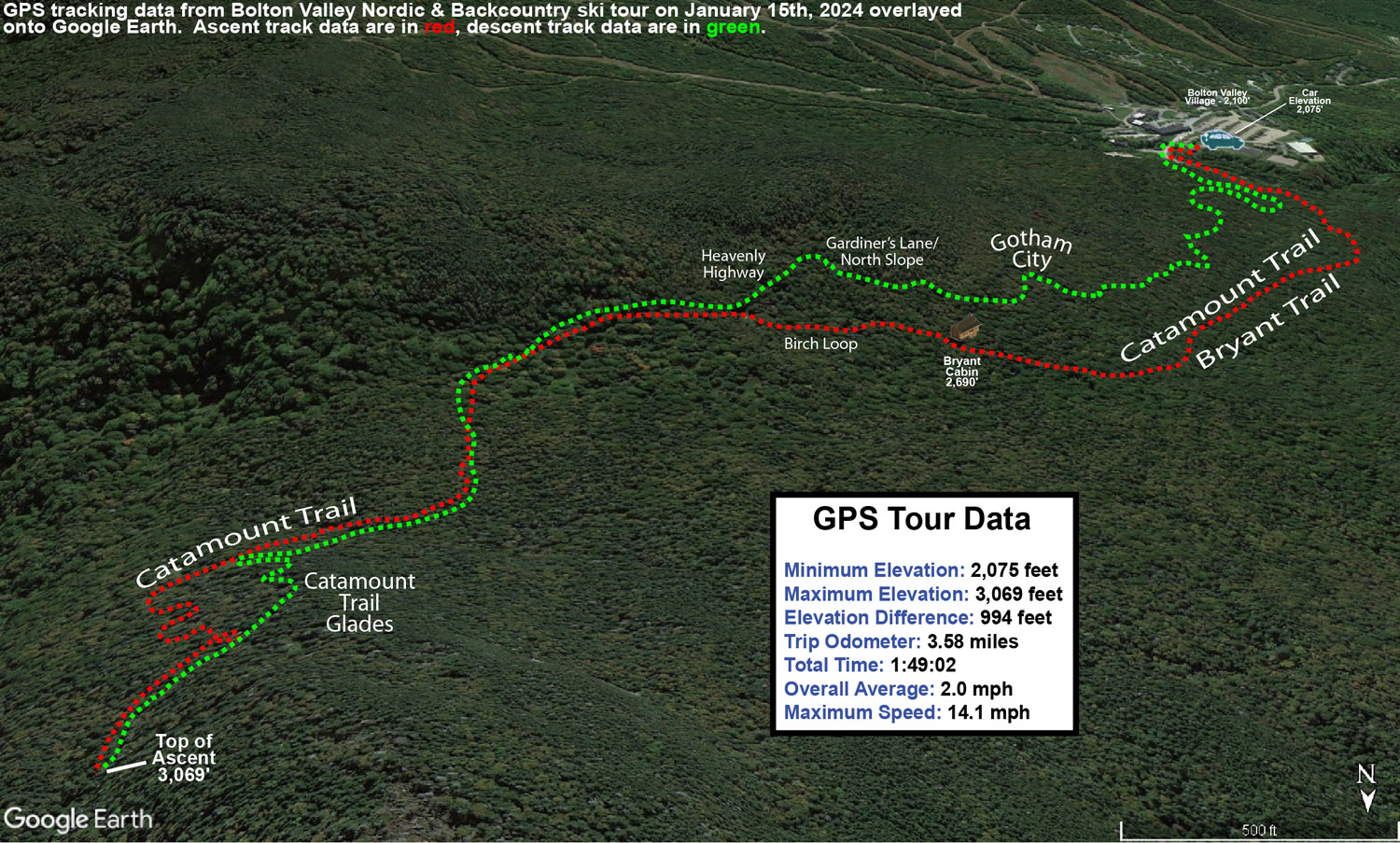
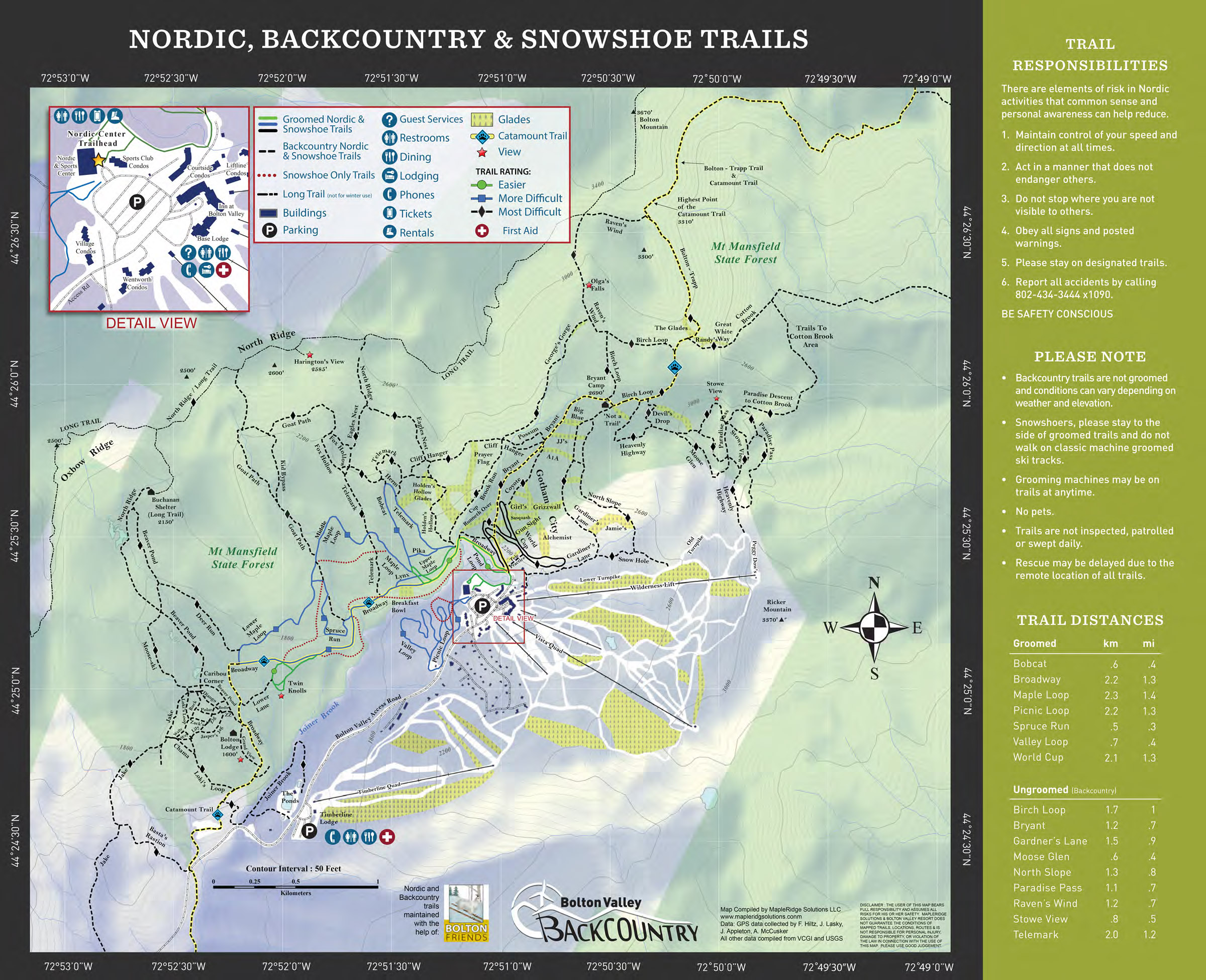
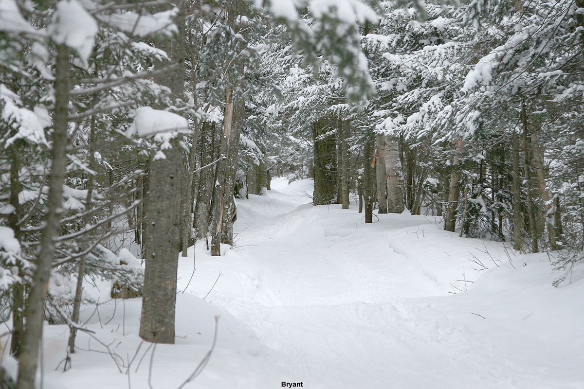
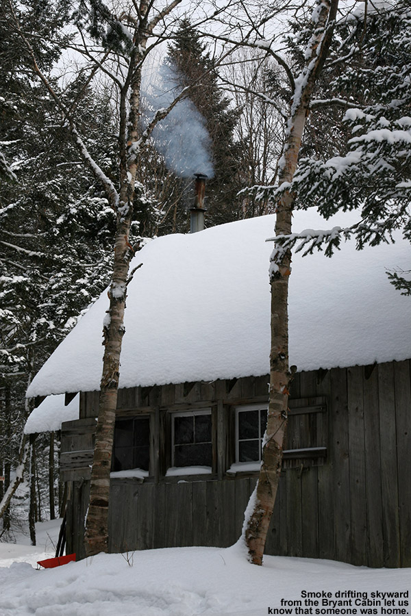
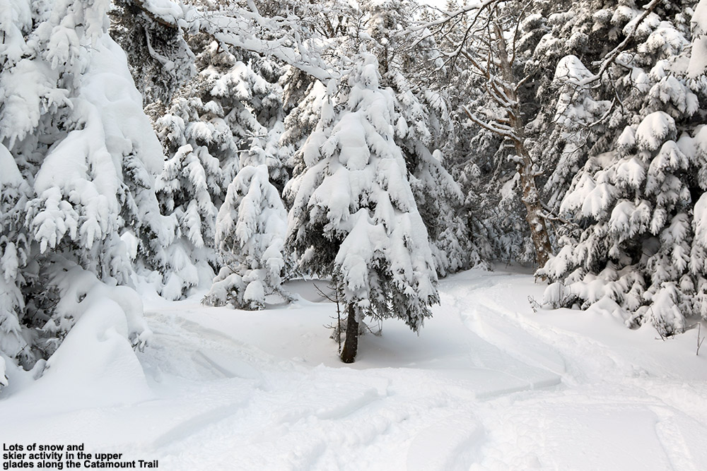
I decided to head up the Bryant Trail to Bryant Cabin in the afternoon, and play it by ear with respect to lengthening my tour, depending on how my supply of daylight was looking. I was well ahead of sunset when I was up at Bryant Cabin, therefore I just continued on up to the Catamount Trail Glades so I could get in some turns in the higher elevations. Based on my recent outings at the resort, I knew that conditions improved a lot with elevation, so I wanted to get a good sampling of the powder up high. I topped out at an elevation of about 3,100’ on the back side of Bolton Mountain, descended through the Catamount Trail Glades, and then traversed back above Bryant Cabin and navigated a route through another half dozen different glades back to the base. Today definitely had a nice midwinter vibe, with bright afternoon sun, temperatures somewhere around 20 F, and great powder.

An image from the bottom of the Devil's Drop area showing the nearby platform structure out on the Nordic and Backcountry Network at Bolton Valley Ski Resort in Vermont
Passing below the Devil’s Drop area while out on today’s ski tour

The surface powder and upper snowpack analysis was really interesting today. Starting my tour around 2,000’ in the Village, I found 4-5” of surface powder, and then there was a fairly solidified layer below it. That layer marks the wet snow that recently came from Winter Storm Gerri, which hardened up somewhat as temperatures dropped back below freezing. The surface snow above it is from the snow on the back side of the storm, plus the additional drier snows that have fallen over the past couple of days. As you ascend to higher elevations though, that firmer layer gradually begins to soften, and then above 2,500’ it starts to disappear altogether. At that point there is another substantial subsurface layer, which I suspect comes from Winter Storm Finn. So, monitoring the elevation profile for the depths of the powder was bit unusual. Compared to the 2,000’ elevation, I didn’t detect any notable increase in the powder depths at 2,250’, but at 2,500’ it finally started to deeper, and as I continued higher, I could still sort of detect an interface from Winter Storm Gerri, but it eventually became hard to discern. So, what I’ve done for the surface snow depth elevation profile below is to indicate those different layers, with the first depth being snow down to the dense layer from Winter Storm Gerri, and the second being the depth of the snow down to the dense layer from Winter Storm Finn.

2,000’: 4-5”
2,250’: 4-5”
2,500’: 5-6”/8-10”
2,750’: 6-7”/10-12”
3,000’: 7-8”/14-16”

At some point between 2,500’ and 3,000’ that first depth number sort of becomes moot, and you’re essentially skiing in the 8-16” of powder depending on elevation, so go I’d say go in with that mentality. In terms of getting out there in the backcountry around this part of the Northern Greens, I’d recommend touring above 2,500’ if you can for the best turns. I went with mid-fats on today’s tour, but you could easily go with fat skis if you’re going to spend most of your time above 2,500’.  When I was up in the Catamount Trail Glades in the 3,000’ range, fat skis would have been nice, except in some of the denser areas of evergreens where they have trapped so much of the snowfall on their boughs, that you actually notice the deficiency of powder below.

An image containing a Google Earth map with GPS tracking data from a ski tour on the Nordic and Backcountry Network of trails at Bolton Valley Ski Resort in Vermont
A Google Earth map with GPS tracking data of today’s ski tour on the Bolton Valley Nordic and Backcountry Network

The system that is expected to come into the area tomorrow is name Winter Storm Heather, and any snow from that should really be icing on the cake in terms of the ski conditions. Temperatures are forecast to stay cold, so you can pretty much take the powder depths I have above and then tack on whatever new snow comes next.

A copy of the 2018-2019 Nordic and Backcountry trail map from Bolton Valley Ski Resort in Vermont
A copy of Bolton Valley’s Nordic & Backcountry trail map which lists the trails and many of the official glades

Bolton Valley, VT 13JAN2024

An image of two snowboarders riding the Wilderness Double Chairlift as heavy snowfall in the 1 to 2-inch per hour range falls at Bolton Valley Resort in Vermont during Winter Storm Gerri
An image of fresh powder snow from Winter Storm Gerri below the Snowflake Double Chairlift at Bolton Valley Ski Resort in Vermont
Thanks to some heavy snowfall from Winter Storm Gerri this afternoon, fresh lines of powder were plentiful throughout the resort, especially off the Snowflake Lift where skier traffic had been especially low.

Over the past week, the weather pattern has featured these larger systems with ample snow and moisture, and the most recent one in the series is Winter Storm Gerri. It moved into the area overnight in the wee hours with an initial burst of heavy snow. The front end snow in this case wasn’t as potent as it was with Winter Storm Finn that came through midweek, so when we saw that Bolton Valley was indicating only 2 inches of new snow in their early morning report, we knew there was no need to rush right up to the mountain.

We watched the Bolton Valley Base Area Webcam through the morning and could see that up at 2,100’, the precipitation was snow, and it was quite heavy at times. Dylan and Colin headed up to the mountain in the early afternoon, and we asked them to give us an update on what they found. Their impressions were that the snow surfaces were rather wet, and they said the precipitation was even mixed with rain in the lower elevations at times, so E figured that instead of skiing, she’d hold off until the snow got better. I took another look at the webcam feed and saw that there was heavy snow falling, and decided that it would definitely be worth it to head up for some lift-served runs.

An image of heavy snowfall from Winter Storm Gerri with condominiums in the background in the Village area at Bolton Valley Ski Resort in Vermont
Heavy snowfall in the Bolton Valley Village this afternoon as Winter Storm Gerri continues to affect the area

Heading up the Bolton Valley Access Road, the precipitation switched over to all snow at roughly the 1,000’ elevation, and above that the road was quickly covered. The road conditions must have been getting a bit slick with the new snowfall because I had to drive around a van that was stuck trying to make it up the steep s-curve below Timberline. I had actually planned to park at Timberline and start my session there, but the Timberline Quad was apparently on wind hold, so I had to continue on up to the main base area. I arrived up in the Village to very heavy snowfall in the 1 to 2 inch per hour range, and with the intensity of that snowfall, there was just no way that the turns weren’t going to be great.

An image of snow falling during Winter Storm Gerri on cars in a parking lot in the Village area at Bolton Valley Ski Resort in Vermont
Arriving up in the Bolton Valley Village this afternoon I was greeted steady snowfall and cars quickly getting covered in new snow

During my afternoon session I managed to get in runs on all the rest of the lifts, and heavy snow continued to pound the resort at all elevations. It was windy, especially at the Vista and Wilderness Summits above 3,000’, but thankfully the wind was from the west and at your back while you rode the lifts. After my first couple of runs, the lights were coming on, and I got to ski Spillway in night mode. I always find it exciting to be able to ski something that steep under the lights, and I knew that the conditions on Spillway were going to be really good because you couldn’t hear anything from the turns of the skiers and snowboarders below you as you passed over them on the Vista Quad. Indeed, my own experience on the trail revealed that the conditions on Spillway were simply fantastic; new snow was falling so heavily that it must have been covering up an slick spots faster than skiers could push the snow away.

I did notice that below the Mid Mountain elevations (~2,500’), the groomed/packed ski surfaces did have that “wet pack” feel that I’ve encountered in the lower elevations of Whistler Blackcomb. That’s usually a sign that some very wet snow has fallen and was packed by skier traffic. I could see what Dylan was talking about with respect to the wet surface conditions, but at the point that I was up there, those conditions were hard to find because temperatures were falling, and it was snowing so hard that those types of wet surfaces were covered up in all but the highest traffic areas. Some of the best turns I found were near the end of my ski session when I visited the Snowflake Chair. That area hadn’t seen much skier traffic, so I found a lot of fresh powder that skied beautifully. I did numerous depth checks and was consistently getting new snow depths of 6 to 7 inches. There was enough powder there that I questioned whether it was all from just this storm, but when Bolton’s afternoon snow update came in and they were reporting storm totals of 5 to 7 inches, that nicely corroborated my measurements.

An image with snow in the air and snow on skis and snowboards at a ski rack near the base lodge during Winter Storm Gerri at Bolton Valley Ski Resort in VermontAll this new snow is a great addition to the snowpack, but even without it, one thing I noticed while out on the mountain today was the huge jump that the snowpack has taken since last weekend. I hadn’t been up to the mountain since Sunday, and at that time, patrol was just starting to open up more areas of natural snow terrain as coverage improved thanks to Winter Storm Ember. The contributions made by Winter Storm Finn must have been huge though, because the resort has now been able to open up just about everything, and everywhere I looked this evening, coverage felt like midwinter. As I look back now at my storm data, I guess I see the difference – Winter Storm Ember dropped 0.69 inches of liquid equivalent here at our site, while Winter Storm Finn dropped 1.99 inches of liquid equivalent. That’s almost triple the amount of liquid, and when you get up around 2 inches of liquid equivalent, that starts to become a serious resurfacing of the slopes. Winter Storm Gerri has already dropped about an inch of liquid equivalent here at the house, and the back side snow is still coming through, so that’s simply adding yet another great layer to the snowpack. All told, this past week of storms has dropped almost 4 inches of liquid equivalent here at our house in the valley, so it must have put down at least 4 to 5 inches plus of liquid equivalent for the mountains. When I look at the numbers, I realize now why the snowpack seems to have improved so much so quickly. When I was riding the Wilderness Chair today, I actually saw a ski patroller skiing the headwall of the Wilderness Lift Line to check the snow. You know the snowpack is getting decent when that headwall is even close to being skiable, so the fact that he was even testing it speaks volumes about how things have gone over the past week.

An image of snow falling from Winter Storm Gerri near the Hotel and Village Circle area at Bolton Valley Ski Resort in Vermont
A scene from the Bolton Valley Village Circle area this afternoon with snow from Winter Storm Gerri falling in front of the Hotel