In this morning’s update, Bolton Valley was reporting an additional 3-5” of snow from yesterday’s lake-effect snow and snow squalls. The other recent snowfall numbers they had in their report looked solid, with 12” in the last two days, 27″ since Tuesday night and more than 48” for the first half of the month. The season snowfall for the resort currently stands at 157”, and that’s very respectable since it’s already about half their annual snowfall average when we’re not even halfway through the snowfall season. What makes that pace more impressive is that they’ve had all that snowfall despite the second half of December being quite lean on snow. That really speaks to how much has been falling up there during the snowier periods.
There was no new snow falling today, which was somewhat notable because this morning’s snow report also indicated that if the current forecast for tomorrow’s snow comes through, they’ll be looking at 14 out of the first 16 days of 2024 with snowfall. With today’s break in the falling snow, I figured it was time to head out for a tour on the backcountry network as a reliable route to untracked powder.
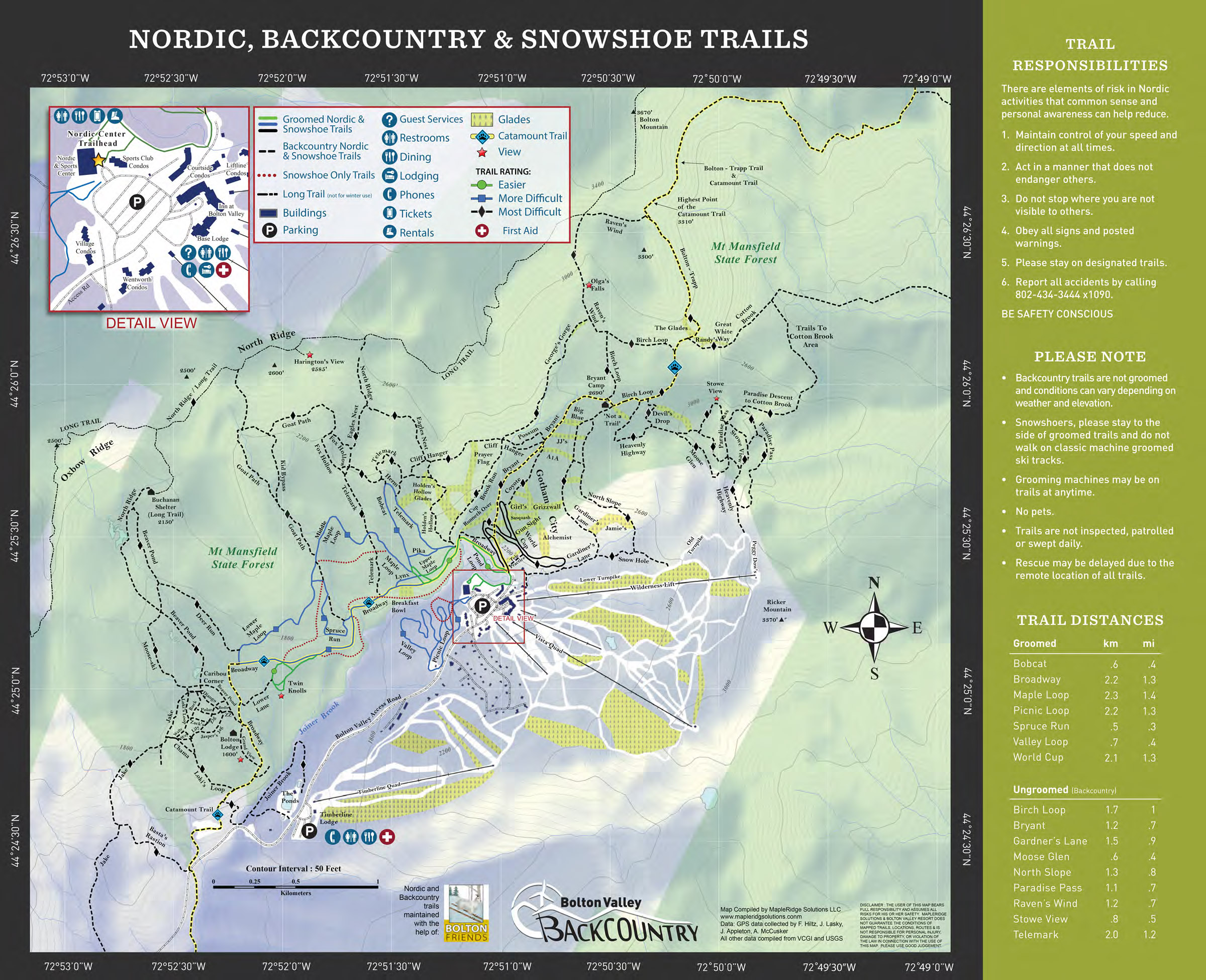
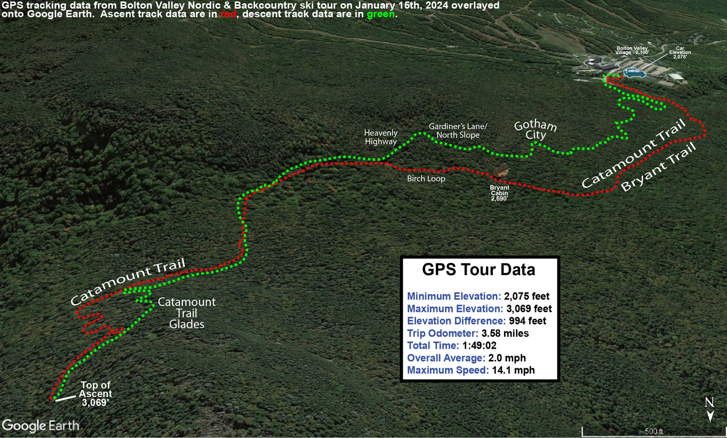
I decided to head up the Bryant Trail to Bryant Cabin in the afternoon, and play it by ear with respect to lengthening my tour, depending on how my supply of daylight was looking. I was well ahead of sunset when I was up at Bryant Cabin, therefore I just continued on up to the Catamount Trail Glades so I could get in some turns in the higher elevations. Based on my recent outings at the resort, I knew that conditions improved a lot with elevation, so I wanted to get a good sampling of the powder up high. I topped out at an elevation of about 3,100’ on the back side of Bolton Mountain, descended through the Catamount Trail Glades, and then traversed back above Bryant Cabin and navigated a route through another half dozen different glades back to the base. Today definitely had a nice midwinter vibe, with bright afternoon sun, temperatures somewhere around 20 F, and great powder.
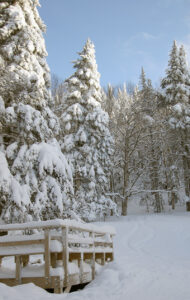
The surface powder and upper snowpack analysis was really interesting today. Starting my tour around 2,000’ in the Village, I found 4-5” of surface powder, and then there was a fairly solidified layer below it. That layer marks the wet snow that recently came from Winter Storm Gerri, which hardened up somewhat as temperatures dropped back below freezing. The surface snow above it is from the snow on the back side of the storm, plus the additional drier snows that have fallen over the past couple of days. As you ascend to higher elevations though, that firmer layer gradually begins to soften, and then above 2,500’ it starts to disappear altogether. At that point there is another substantial subsurface layer, which I suspect comes from Winter Storm Finn. So, monitoring the elevation profile for the depths of the powder was bit unusual. Compared to the 2,000’ elevation, I didn’t detect any notable increase in the powder depths at 2,250’, but at 2,500’ it finally started to deeper, and as I continued higher, I could still sort of detect an interface from Winter Storm Gerri, but it eventually became hard to discern. So, what I’ve done for the surface snow depth elevation profile below is to indicate those different layers, with the first depth being snow down to the dense layer from Winter Storm Gerri, and the second being the depth of the snow down to the dense layer from Winter Storm Finn.
2,000’: 4-5”
2,250’: 4-5”
2,500’: 5-6”/8-10”
2,750’: 6-7”/10-12”
3,000’: 7-8”/14-16”
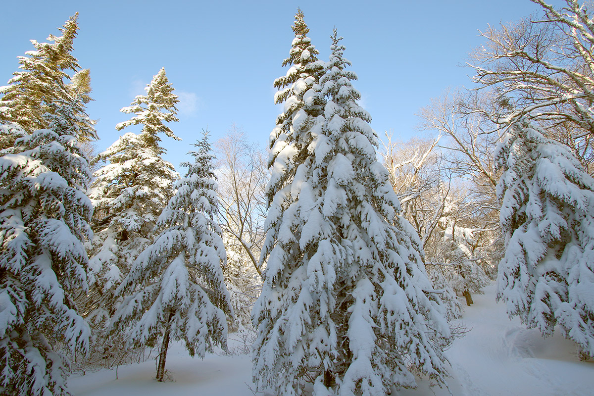
At some point between 2,500’ and 3,000’ that first depth number sort of becomes moot, and you’re essentially skiing in the 8-16” of powder depending on elevation, so go I’d say go in with that mentality. In terms of getting out there in the backcountry around this part of the Northern Greens, I’d recommend touring above 2,500’ if you can for the best turns. I went with mid-fats on today’s tour, but you could easily go with fat skis if you’re going to spend most of your time above 2,500’. When I was up in the Catamount Trail Glades in the 3,000’ range, fat skis would have been nice, except in some of the denser areas of evergreens where they have trapped so much of the snowfall on their boughs, that you actually notice the deficiency of powder below.
The system that is expected to come into the area tomorrow is name Winter Storm Heather, and any snow from that should really be icing on the cake in terms of the ski conditions. Temperatures are forecast to stay cold, so you can pretty much take the powder depths I have above and then tack on whatever new snow comes next.
