
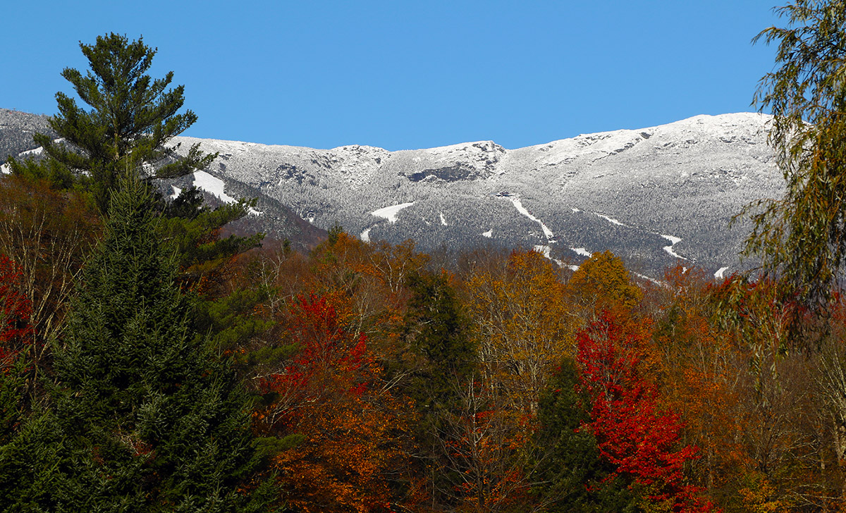
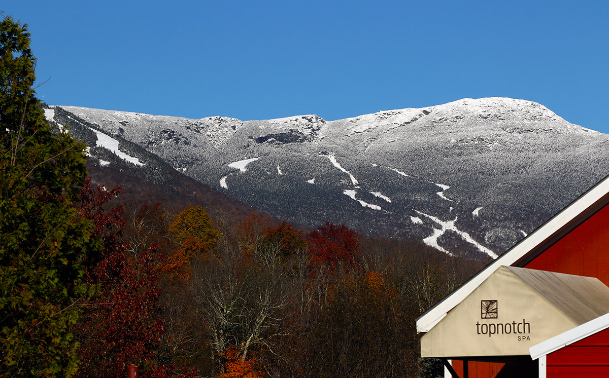
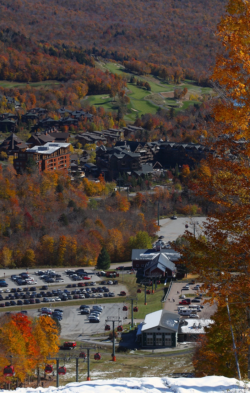
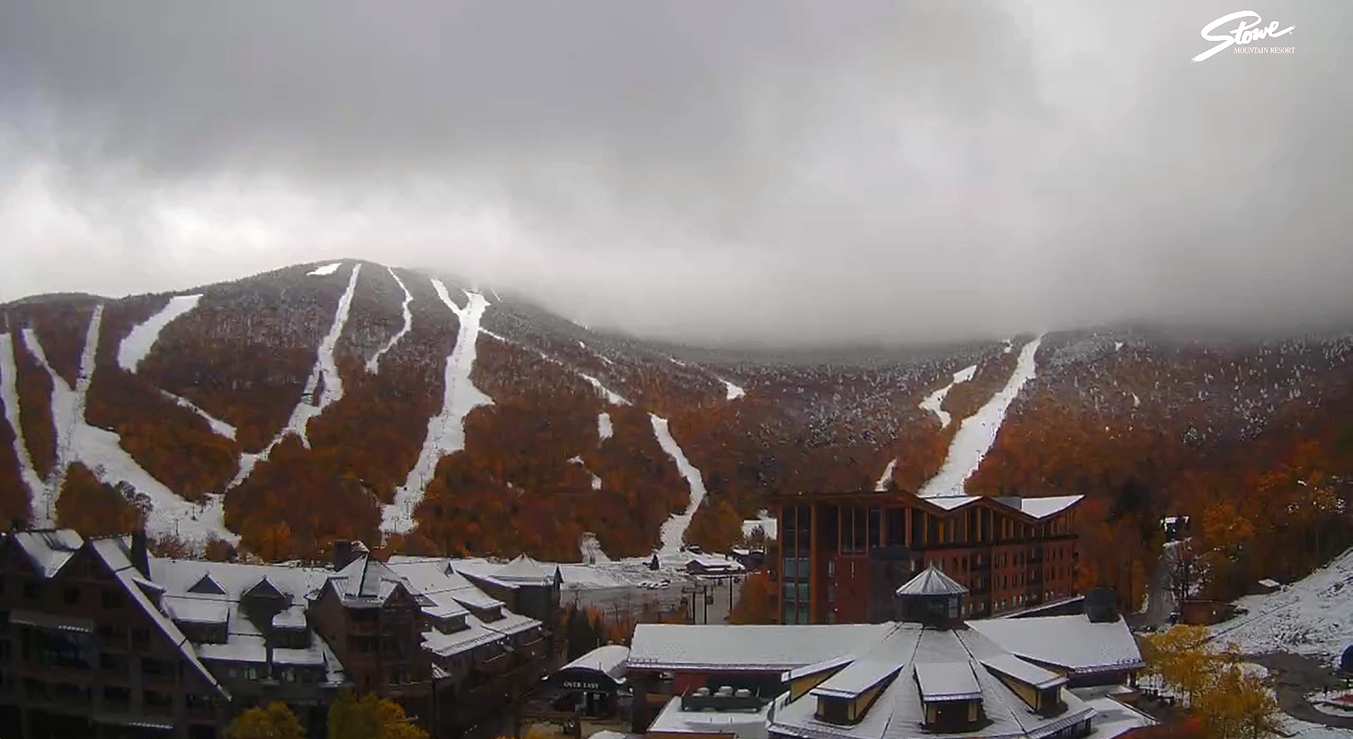
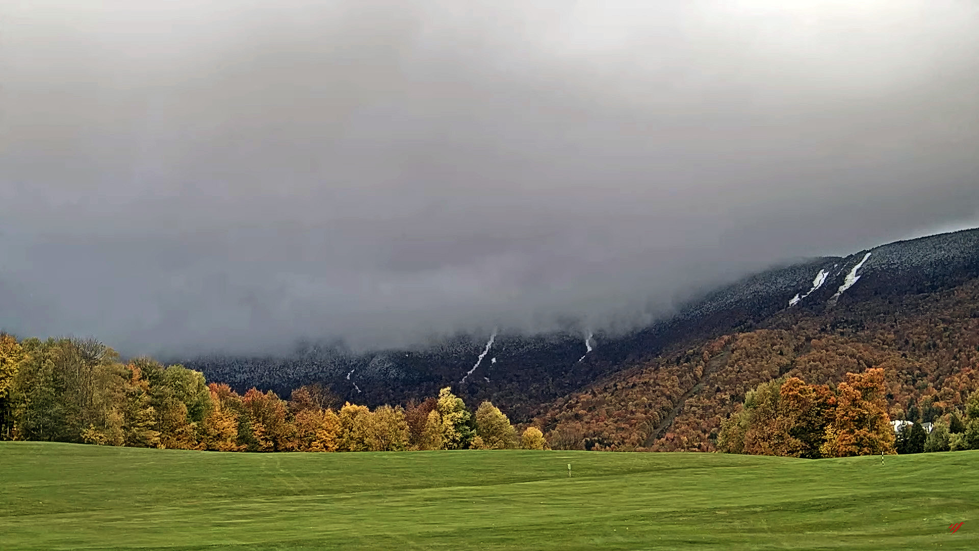
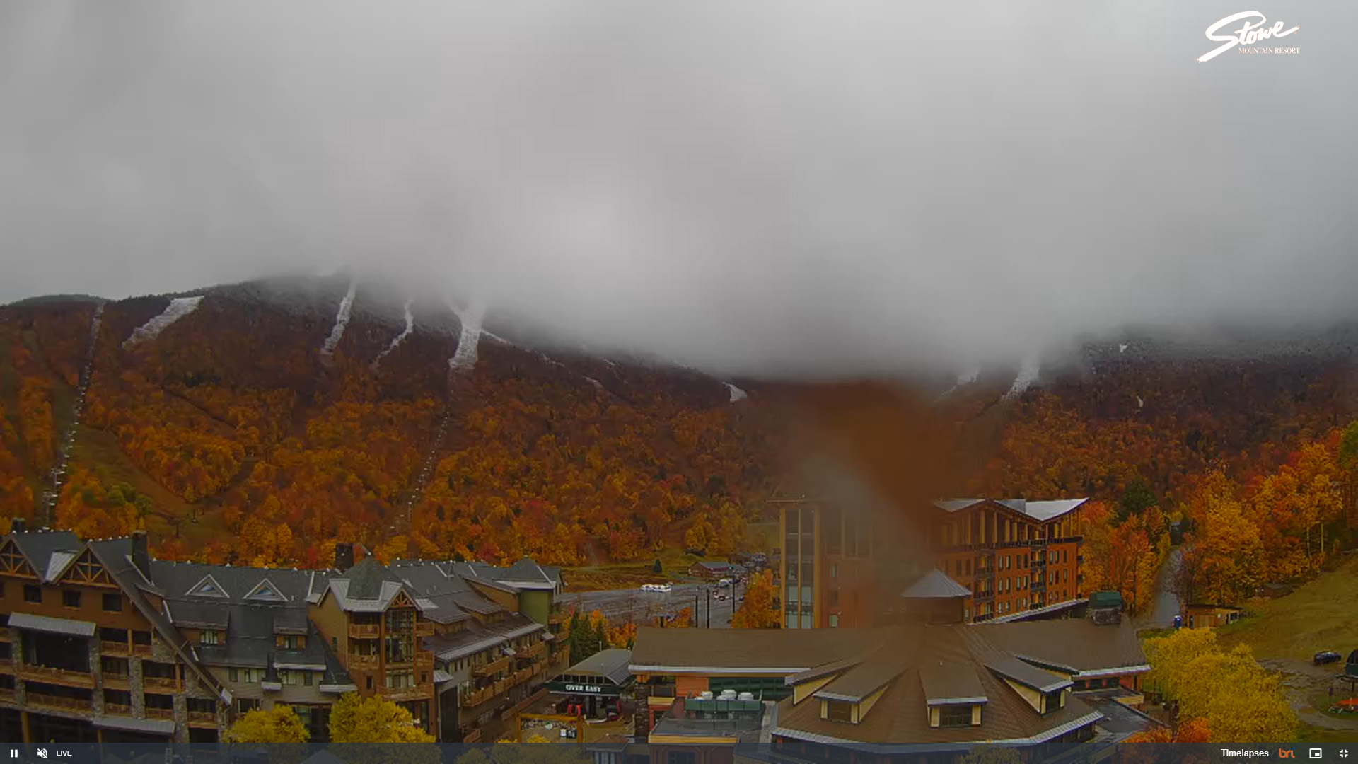
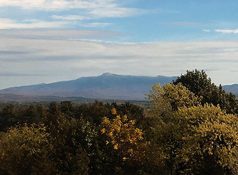
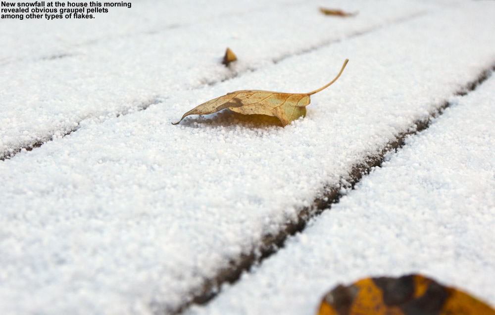
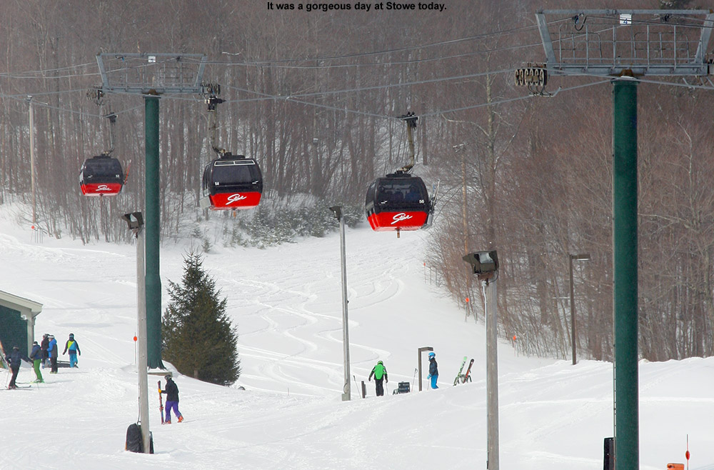
With this latest round of autumn snow culminating in over a foot of accumulation on Mt. Mansfield, the setup was calling for some early season turns. With the way the temperatures were expected to rise today, I think yesterday was the way to go for potentially the best overall snow quality for powder turns, but I was too busy to get out to the slopes. I did get out this morning though, and while snow preservation was undoubtedly better yesterday, the clouds totally disappeared today to reveal incredible snowliage in the sunshine.
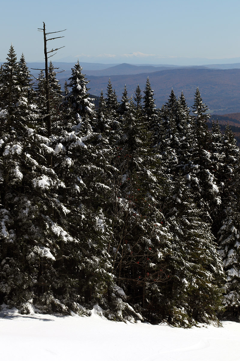
I started my ascent from the Gondola base at 1,600’ and walked with my skis on my pack for a few minutes to get above the areas with the most melting, then I transitioned for touring and skinned up from there. The snow was already becoming spring-like down low in the sun, and areas in the shade featured refrozen snow. So even yesterday, the freezing level made it above the base elevations. I encountered my first real winter snow that had not seen a thaw-freeze cycle at about 2,800’ in the shade, and then at around 3,200’ I began finding some winter snow even in the sun. I made snow depth checks along the way, and here’s the depth profile I found in the late-morning to midday period:
1,600’: T-2”
2,000’: 4-5”
2,500’: 9-10”
3,000’: 12-13”
3,600’: 13-14”
Depths had consolidated a bit even up at 3,600’ based on Powderfreak’s pictures from yesterday, and the sun was really doing a number on the snow down low. The Gondola terrain gets hit by the sun, and the accumulations down near the Gondola base were just about gone by the time I finished my descent.
In terms of the skiing, I encountered just about every sort of condition that Mother Nature can throw at you, from dense, silky powder, to refrozen areas with unbreakable melt crust, to spring snow, to sticky, freshly melted snow. Once you were down below the driest snow up top, the best approach was to fucus on the snow that was in that happy medium between seeing the most sun on the skier’s left, and that which had seen no sun on the far skiers right in the shade of the trees. The snow on the skier’s left that had seen some hours of sun was getting sticky, and snow that was shaded by the trees was still frozen with either an unbreakable or breakable melt crust, but in between there was an area of quality snow that had seen just enough sun to soften up but not get sticky. Once you were down below roughly 2,000’, everything was melting, so you just sort of kept going until you felt the snow was too thin. You could still make it all the way to the base with the help of shaded areas depending on what level of rock skis you might be on, but I took off my skis for the last few hundred vertical because I didn’t want to beat them up too much.
That was a solid dump for the middle of October though, and with the bonus snowliage it was a great way to kick off the season.


