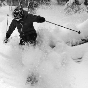
Bolton Valley, VT 20JAN2023

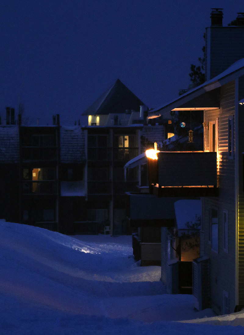
An image of some of the condominiums and the hotel at the bottom of the Wilderness Double Chairlift around dusk in the Village area at Bolton Valley Ski Resort in Vermont
An image of the Wilderness Double Chairlift in the late afternoon with snows from Winter Storm Iggy at Bolton Valley Ski Resort in Vermont
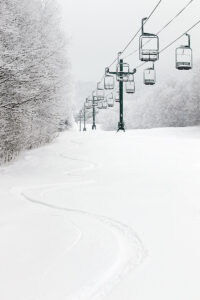
A snowy view of the Wilderness Chair greets me today as i begin a late afternoon ski tour to check out the recent snows from Winter Storm Iggy.

As expected, Winter Storm Iggy came through and transformed the ski conditions in the local mountains this weekend.  A survey of the Vermont ski area snow reports revealed surprisingly consistent storm totals running around 10 inches up and down the spine of the Central and Northern Greens, with lower amounts down at the southern resorts due to an influx of some mixed precipitation.

Ty was coming home from NVU Lyndon for the weekend, and with Iggy starting up Thursday evening, E was able to pick him up late that afternoon because he didn’t have any Friday classes.  The timing was perfect because they got home just ahead of when the flakes started falling, and it was a great example of the utility of accurate winter weather forecasting.

“All in all I’d describe the turns as mostly bottomless, quite surfy, and that powder was all atop that bomber base that was present from the previous storm cycle, so you could really have confidence in what was below the new snow.”

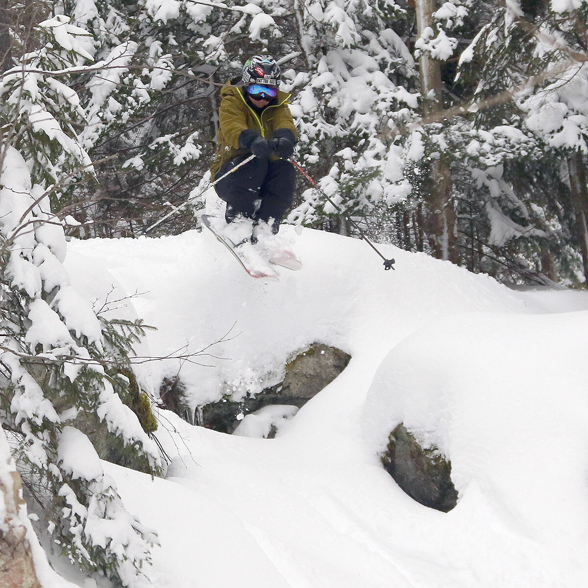
Dylan and Colin only have one early class on Fridays, so after they were done with that, Ty joined them, and the three of them headed up to Bolton for some turns.  They scored quite a day with the fresh snow and minimal midweek visitors on the slopes.  They had such a blast that after coming home, eating dinner, and watching some GoPro videos from the day, they switched up to some different gear and went back out for night skiing until last chair.

I didn’t have a chance to head out earlier in the day today, but I did get up to the mountain with about an hour of light left, so went for a tour on Wilderness to check out all the new snow.  The storm was still ongoing, but at that point I found the following surface snow depths:

2,000’: 6”
2,500’: 7-8”
2,800’: 8-9”

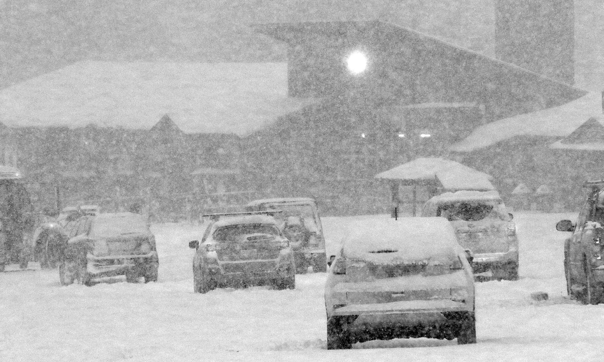
An image of snowflakes in a street light during Winter Storm Iggy in the Village parking lot at Bolton Valley Ski Resort in Vermont
One of the street lights in the Bolton Valley Village parking lot illuminates the snow from Winter Storm Iggy as darkness falls this evening.

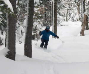
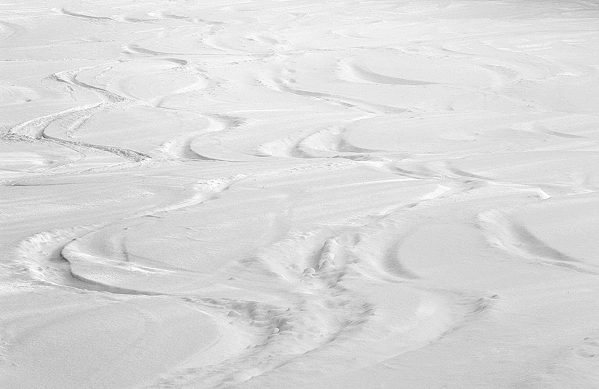
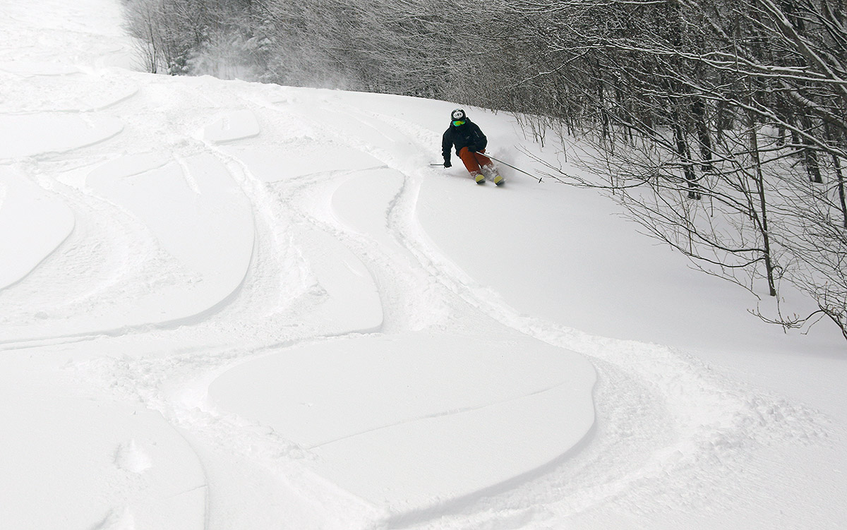
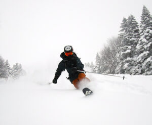
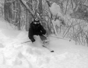
I decided not to tour all the way to the Wilderness Summit because I was losing daylight, but the quality of the powder I encountered was excellent.  I was surprised to find that I could feel a difference in snow density below about 2,500’, but it was fairly subtle and the turns were really great from top to bottom.  All in all I’d describe the turns as mostly bottomless, quite surfy, and that powder was all atop that bomber base that was present from the previous storm cycle, so you could really have confidence in what was below the new snow.

Bolton Valley, VT 16JAN2023

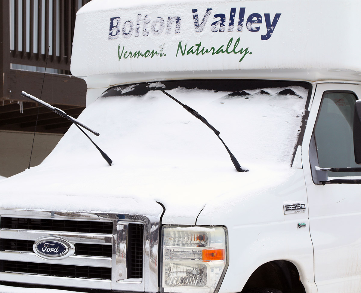
A shuttle bus with a bit of January snow in the Village area at Bolton Valley Ski Resort in Vermont
An image of the Bolton Valley Access Road in January just below Bolton Valley Ski Resort in Vermont
There’s a solid base of snowpack in the mountains and there’s even been a bit of new snow to set the wintry scene. Conditions should really take off with accumulations from even a modest winter storm.

After getting out to the hill on Saturday to check out the snow conditions, I hadn’t really planned to ski any other days over the weekend – the conditions on the groomed terrain were fine, but definitely on the firm side.  And, the off piste just isn’t very viable at the moment, because while the snow from this most recent storm contributed a fantastic addition to the base snowpack, it needs another good round of snow on top of it or else you’re just skiing on a dense, crusty moonscape.  But, a couple of my students alerted me that they’d be up at Bolton Valley this morning and asked if I wanted to join them, so I said I catch up with them for some turns.  E had the holiday off and joined me, and we met up with them in the late morning period and had a great time catching up after the holiday break.  Light snow fell much of the time from the system off the coast, and it certainly made the mood even more wintry, even if it didn’t add much in terms of accumulation.

A road sign with a bit of fresh snow stuck to it along the Bolton Valley Access Road below Bolton Valley Ski Resort in VermontAlong with the bit of snow today, we’d also had a little light snow from that coastal system over the previous day or so, but all in all, ski conditions weren’t really all that different from what I’d experienced on Saturday.  Groomed terrain with manmade snow had some bright spots (like Alta Vista again), but most was fairly firm as it had been before.  One very notable positive change that took place over the course of the weekend was that the resort had opened a lot more terrain.  A little (like Hard Luck I believe) was due to snowmaking, but the vast majority was simply natural snow terrain that patrol had been able to check and mark.  They opened all the lower Wilderness terrain that is accessible from the Vista Quad, as one would expect, but I couldn’t believe that even Cobrass was open.  It’s quite steep in spots, has a decent amount of southern exposure, and seemed to be mostly operating on natural snow.

“The snowpack is there. At least based on what I saw at Bolton over the weekend, if these storms deliver even half of the snow that’s currently modeled, lift and trail counts are likely to explode over the course of the next week.”

All the natural snow terrain they opened is just a testament to how durable a resurfacing this most recent winter storm was.  The only thing holding back the off piste skiing (although some folks were jumping into the woods in areas) is just the crusty, dense nature of the snow.  It’s simply not all that much fun right now because it’s a bit upside down and crunchy, but boy are both the on piste and off piste areas going to be ready to go with just one decent storm.  With three possible winter storms in the queue over the next six days, ski conditions are really set to take a quantum leap if the accumulations come through as the modeling currently suggests.  The snowpack is there.  At least based on what I saw at Bolton over the weekend, if these storms deliver even half of the snow that’s currently modeled, lift and trail counts are likely to explode over the course of the next week.
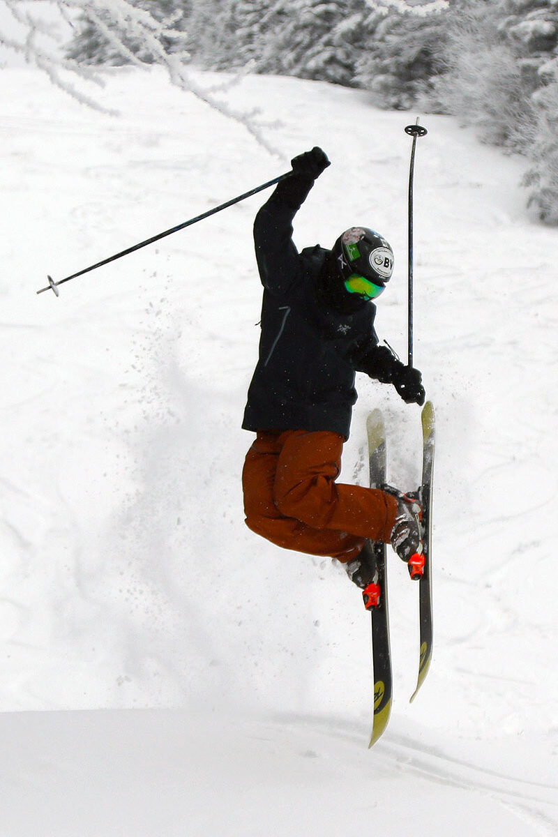
Bolton Valley, VT 14JAN2023

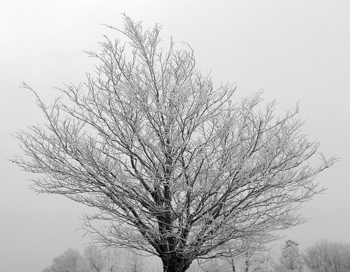
An image of a tree covered in snow and rime after a recent winter storm at Bolton Valley Ski Resort in Vermont
An image of the upper part of the Wilderness terrain pod at Bolton Valley Ski Resort in Vermont
With the dense snow put down by out most recent winter storm, it looks like much of Bolton Valley’s terrain would be set to open with the help of one more wintry system.
I hadn’t been up to the mountain since that fantastic period of skiing from mid-December through the holidays; no major winter storms had come through the area since Winter Storm Elliot, and the skiing just hadn’t seemed good enough to pull me away from other things.  That changed with this most recent storm though – Bolton’s snow report from this morning indicated that they’d picked up half foot of new snow in the past couple of days.  Although the storm did contain mixed precipitation, it delivered 1.33” of liquid equivalent down here at our site in the valley, with most of that as snow/frozen.  Assuming the local mountains exceeded that as they usually do, that’s a storm cycle that has all the makings of a solid resurfacing/base building event.
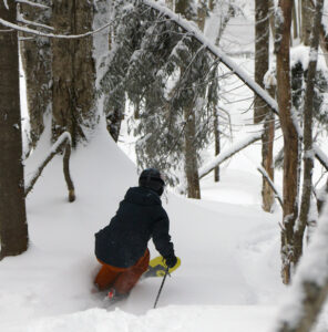
“…I gave the typical on piste conditions a rating of 2 on a 0 to 10 scale, but I have pretty high snow quality standards…”

With this latest storm, Bolton Valley indicated that the Wilderness Uphill Route was officially open again, which is a good sign that there had been a substantial addition to the snowpack.  My observations from today while I was out touring definitely reinforced that notion.  With the effects of this most recent storm, the base snow is actually so dense that I couldn’t do any depth checks, but I’d say you’re looking at probably a foot of base depth at the 2,000’ level.  If the snow density is that same as what I’ve cored down here at our site in the valley, that would have about 2 inches of liquid equivalent in it.  Since the snowpack is just too dense to do any easy depth readings, I don’t have an estimate for the increases of snowpack depth with elevation.  The Mt. Mansfield Stake up at 3,700’ is indicating a snowpack depth of 20 inches as of today though, so I’d assume you’re looking at something in that range once you’re up at the local summit elevations above 3,000’.

An image of the Wilderness Double Chairlift during a ski tour at Bolton Valley Resort in Vermont
A view of the Wilderness Chair while out on today’s ski tour

In terms of the skiing, I wasn’t really expecting much real powder with how dense the snowfall was from this past storm; my tour was really a chance to get out for some exercise and see how the off piste snowpack and snow surfaces were looking.  I only found about an inch or so of lighter snow above the base, and that was pretty consistent at all elevations in the 2,000’ to 3,000’ range.  Snow coverage of the natural terrain is actually quite good though with that impressively dense base, and Lower Turnpike with a good amount of skier-packed areas has great wall-to-wall coverage.  Steeper terrain with ledges, obstacles, and wind scouring/drifting is not as consistent in its coverage, but the base snow is just so dense that most of the natural terrain is going to be good to go with the next decent storm.  The best snow quality I found was actually in natural snow areas that had been skier packed, since areas of undisturbed/unpacked snow still held the potential to punch through the uppermost layers of the base.  On my descent I definitely employed a mix of alpine and Telemark turns, and the safety of alpine turns with that full width of surface area for both skis in the center was the way to go when navigating snow that hadn’t been packed by skiers.

I stuck around for some lift-served skiing since I’d seen that Alta Vista had been opened, and I think it had seen some of the more recent snowmaking, because it had some of the best conditions I found.  The best snow by far was what people had pushed to the side, but the main surface was better than elsewhere.  Most of the on piste surfaces were typical of what you’d expect for manmade snow that had seen lift-served skier traffic, so really nothing to note in terms of quality.  When I got home and Dylan asked me about the conditions, I gave the typical on piste conditions a rating of 2 on a 0 to 10 scale, but I have pretty high snow quality standards, so he knows where a value of 2 would stand.  Even without any big storms over the past couple of weeks, the resort has been expanding their terrain with runs like Spillway, and they were blowing snow on Hard Luck as well.  The recent snow was substantial enough that even some natural snow terrain had been opened.  Surprisingly, they don’t have to lower areas of Wilderness open yet to lift-served access, which is pretty typical under these conditions, but they would need to groom it first, so that may take some extra time.

Even if the snow quality isn’t there yet in terms of typical Northern Greens surfaces, it was definitely nice to get back on the slopes after the break.  We had light snow falling during the morning with some blue skies, and some nice snow/rime on the trees.  With that base in place, terrain is likely to expand heavily if these next couple of potential systems in the coming week deliver any substantial snow.

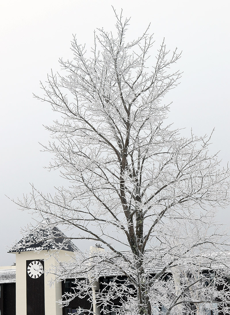
An image of a tree covered in snow and rime, as well as the clock tower at the Village circle after a recent winter storm at Bolton Valley Ski Resort in Vermont
Another beautiful rime-covered tree with the clock tower in the background at the Bolton Valley Village Circle

Bolton Valley Nordic & Backcountry, VT 26DEC2022

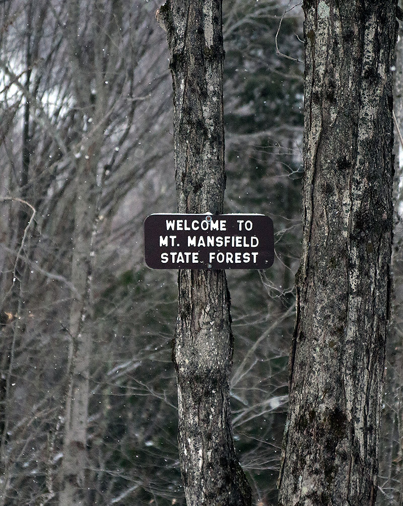
An image of the Mt. Mansfield State Forest sign on the Broadway trail entering the Nordic and Backcountry Network at Bolton Valley Ski Resort in Vermont
An image of snow on evergreens during a ski tour on the Nordic and Backcountry Network at Bolton Valley Resort in Vermont
Enjoying some of the snow on the evergreens along the route of my backcountry tour today

I hadn’t been out to the mountain since Winter Storm Elliot finished up, and although it was a mixed system in terms of precipitation, I was encouraged by how it played out for the local snowpack.  The storm brought roughly 8 inches of snow to our place down in the valley, and represented a net gain in both snowpack depth and snowpack liquid equivalent.  Bolton Valley was reporting 12 inches of new snow from the system, so the mountains must have fared at least as well as the valleys.

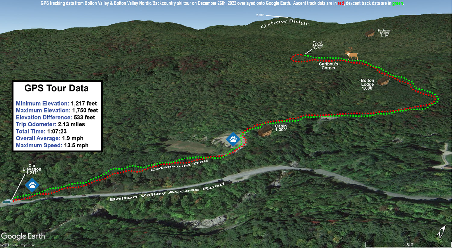
With some rain during the middle part of the system, I was wondering about the condition of the snow surfaces, so today I decided on a relatively low angle tour on the Bolton Valley Backcountry Network to get a feel for how the new snow had settled in.  I started at the Catamount Trail access point on the Bolton Valley Access Road, which is down around 1,200’, and toured up to around the 1,800’ elevation a bit above Caribou Corner.  Those are relatively low elevations overall, and 1,200’ is below even the Timberline Base, so it would certainly be a challenging stress test to speak to the quality and utility of the snowpack.

At 1,200’ at the parking area I found about 4 to 5 inches of powder above the base snow, and most notably, I couldn’t really find a rain crust.  There was a clear demarcation between the consolidated base and the surface snow, at least around the parking area where the snowpack is a bit more exposed to snow maintenance and sunshine.  The depth of the powder quickly increased as I ascended, and by about 1,500’ I was easily finding 6 to 12 inches of powder.  It became hard to judge the depth of the surface snow though, because I typically couldn’t even find an interface between the new snow and the underlying snowpack; the wetter precipitation from the storm must have either drained well or transitioned smoothly to snow.  I’d say total snowpack depth was probably around 10 to 12 inches at 1,200’ and 12 to 16 inches at 1,800’, but there’s plenty of substance to it, so it’s quite skiable up to moderate angles in maintained areas, and obviously it’s going to be notably deeper up above 2,000’.

An image of a cabin during a ski tour on the Nordic and Backcountry Network at Bolton Valley Ski Resort in Vermont
A snowy view of a cozy cabin along the route of my ski tour today

In terms of the skiing, the powder was actually too deep for the lowest angle sections on the tour, and I’d have to use existing skin tracks or other skier tracks to maintain or pick up speed.  The next tier of pitches skied great with the snow though.  I typically like that tour up to Caribou Corner when there’s about 4 to 6 inches of powder over a consolidated base, so this really was a bit deeper than that, and I’d say folks should move on up to moderate angle terrain for the best backcountry turns, especially with additional snow falling over the next couple of days.  There was light snow falling during my tour in the form of those big fluffy flakes, and I see that the resort reported an inch of new this morning.

The season snowfall seems roughly on track at our house observations site as of Christmas.  Snowfall to date on the 25th was 40.1” vs. a mean of 40.4”, and snowpack depth at 10.5” was a few inches above average.  The SDD for the season were a little behind average pace at 146.5 SDD vs. the 162.2 SDD average.  I can see in the data that the SDD deficiency is largely due to that slow first half of December, because we were still ahead of average SDD as of the end of November, and then the pace started to fall off before picking up again in the second half of the month.

A Google Earth map with GPS tracking data of a ski tour on the Nordic and Backcountry Network at Bolton Valley Resort in Vermont
A Google Earth map with GPS tracking data for today’s ski tour out on Bolton Valley’s Nordic and Backcountry Network

Bolton Valley Nordic & Backcountry, VT 18DEC2022

An image showing snow on one of the buildings near the start of the Nordic and Backcountry Network with a covering of fresh snow at Bolton Valley Ski Resort in Vermont
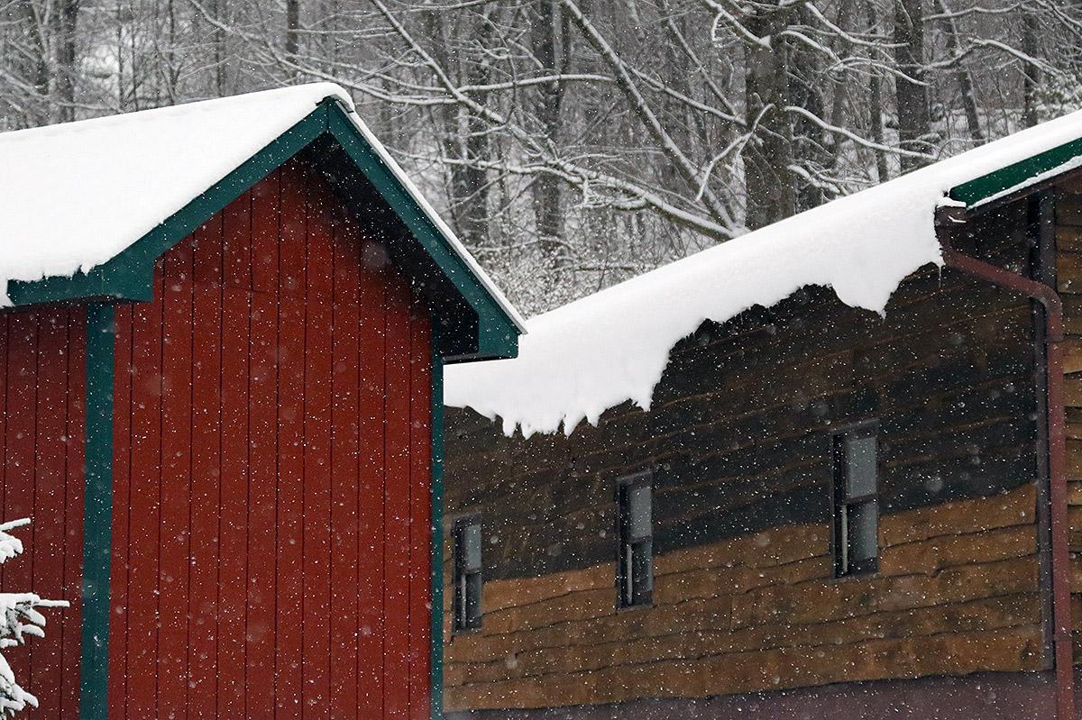
Things were looking nice and snowy as I passed the old ticket booth near the start of my tour today on the Nordic & Backcountry Network at Bolton Valley

After discovering such impressive snow coverage when touring at Wilderness yesterday, today I actually headed out onto the Bolton Valley Backcountry Network.  Part of the afternoon was spent clearing out a tree that had come down in our yard during Winter Storm Diaz, and after that was done I had just enough time to hit the backcountry network for a quick exploratory tour.  I wasn’t absolutely sure what to expect, but I was going to be touring entirely above 2,000’, and unless the conditions over at Wilderness were a fluke or something due to aspect, the adjoining backcountry was likely in similar shape.  The backcountry snow report didn’t even have any notifications about poor coverage or closures, it just indicated that coverage was variable.

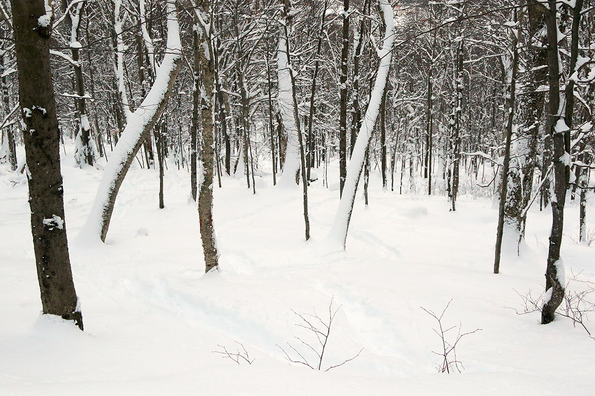
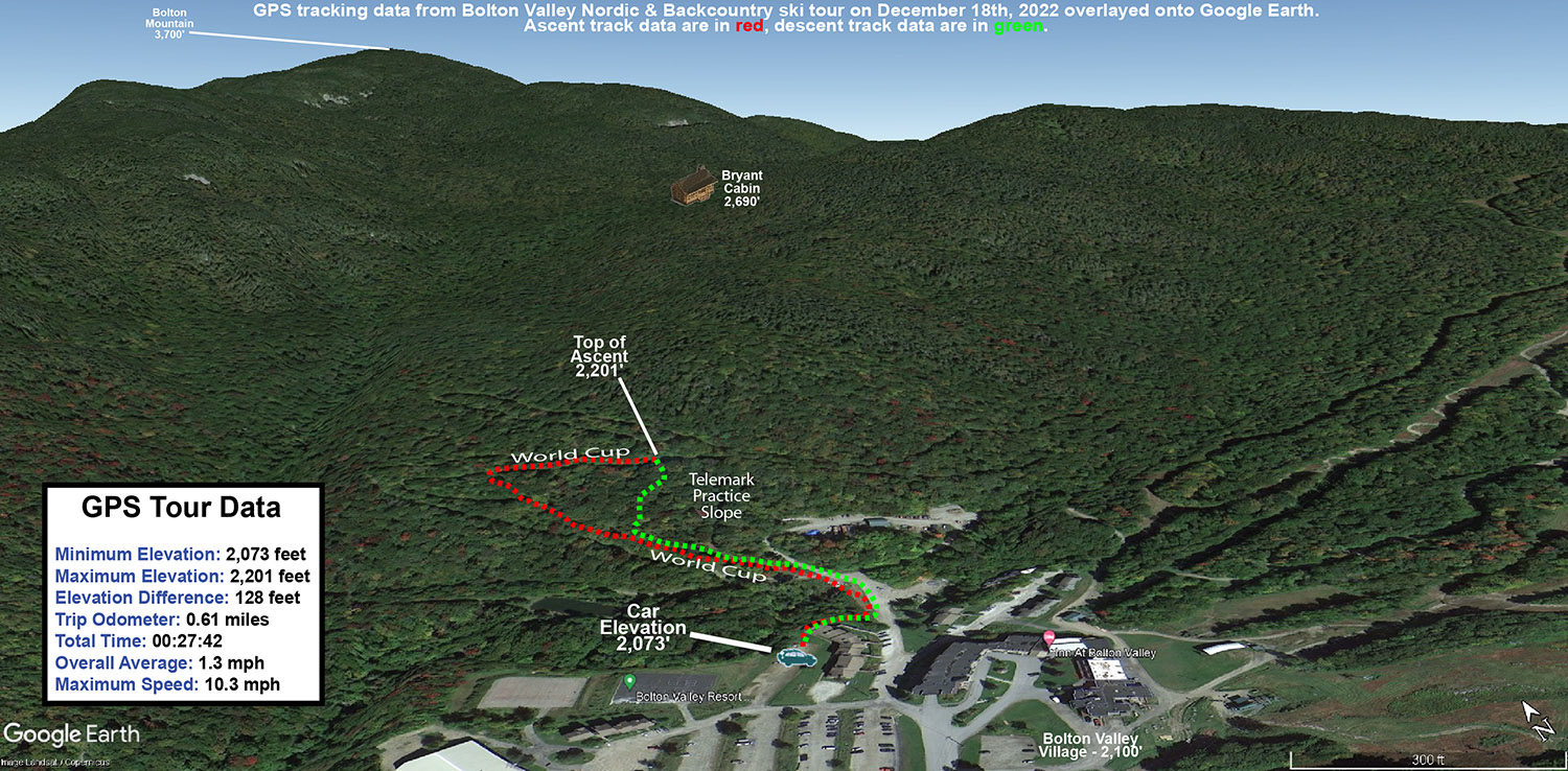
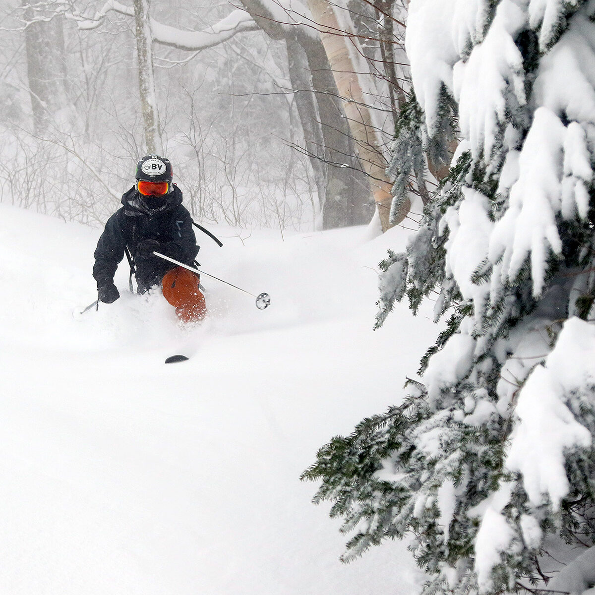
I was still planning to be conservative in my initial explorations, and my time was limited with dusk approaching, so I opted for a quick tour with a descent of the Telemark Practice Slope.  On my ascent though, it was immediately obvious how good the coverage was in the surrounding glades, and with just a few tracks here and there in the relatively deep powder, it was too good to pass up.  I ended up skiing some of the glades to the skier’s right of the Telemark Practice Slope, and they skied beautifully.  I was initially not expecting such a sublime ride, since we’d really needed at least black diamond pitches yesterday to avoid getting bogged down, but there must have been a bit more settling of the snowpack, and the addition of the upslope fluff that’s been falling was really just icing on the cake that added a little cushioning with minimal resistance.  The resulting snowpack came together to provide just the right speed for the glades, and it was obvious at that point that a lot more of the gentle and moderate terrain is going to be in play for some excellent powder turns.

A Google Earth map of a backcountry ski tour on December 18th, 2022 with GPS tracking data on the Nordic and Backcountry Network at Bolton Valley Resort in Vermont
The GPS track of today’s quick tour on the Bolton Valley Nordic & Backcountry Network mapped onto Google Earth

Bolton Valley, VT 17DEC2022

An image of Ty skiing fresh powder on from Winter Storm Diaz on the Bolton Outlaw Trail at Bolton Valley Ski Resort in Vermont
An image of Ty skiing powder on the upper slopes of Wilderness after Winter Storm Diaz at Bolton Valley Ski Resort in Vermont
Ty Shredding some of today’s fresh powder on the upper slopes of the Peggy Dow’s run at Bolton Valley. Winter Storm Diaz dropped a good 16 inches of fresh snow on the upper slopes of Bolton, and the wind direction was perfect to avoid the scouring often seen on the upper pitches of Wilderness.

Since Winter Storm Diaz dropped another good shot of snow overnight, our plan yesterday was to head up to Bolton for more lift-served skiing.  Making a final check on the snow report before heading up though, I discovered that the resort had lost power like a lot of other spots around the area.  With that news, and the announcement that the Wilderness Uphill Route was open, we switched our plans over to ski touring at Wilderness.  When we got to the resort, power was back on and the lifts were running, but since we’d already taken the time to gear up for it, we stuck with the ski touring plan since it held the potential for a lot more untracked snow anyway.

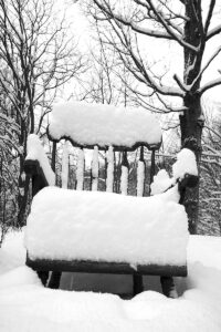
A snowy chair after Winter Storm Diaz at the base area of Bolton Valley Ski Resort in VermontWith the existing base snow from ahead of the storm not entirely consolidated, it was tough to get a sense for how much new snow the resort had picked up specifically from this cycle.  But, we were able to get total snowpack depths, and with repeated measurements by both Ty and me, we came in with total settled depths of 16” at 2,000’ and 20” around 3,000’  The resort updated their storm accumulations and reported 12” new at 2,000’ and 16” new at 3,000’, so that fit perfectly with what our measurements were suggesting.

The skin track  Wilderness Uphill Route was nicely set from previous traffic, and there were actually two tracks that let us skin side-by-side for easier conversation.  Traffic on Lower Turnpike had been moderate, and we counted about 20 descent tracks.  I wasn’t sure if we were going to go all the way to the Wilderness Summit depending on how scoured the upper elevations were, but with a lot of the flow with this event coming from the east, there was essentially zero drifting even at the highest elevations, so that set up some potentially great skiing on the upper slopes.

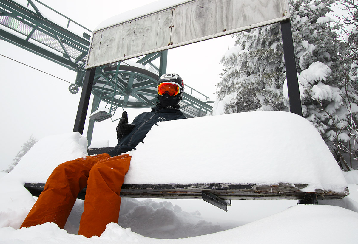
An image of Ty sitting on a bench with snow at the Wilderness Summit at Bolton Valley Ski Resort in Vermont
Ty enjoys a snowy seat this afternoon at the Wilderness Summit

The snow from this storm cycle certain fell right-side-up, and there was a lot of substance to the lower layers, but it skied DEEP.  We quickly discovered that even on 115 mm fat skis, low and moderate angle pitches just didn’t cut it.  You had to hit black diamond pitches or higher, and once you did, the powder skiing really rocked.  We hit the steepest pitches we could find, like the upper slopes of Peggy Dow’s and the Cougar Headwall, and even when we tried to test the limits of the snowpack by attempting to get down to the ground on turns, you just couldn’t.  We picked up about 1.30” of liquid equivalent from this storm down at our site in the valley, so the mountain must have had at least 1.50” of liquid atop the previous base.  I’m not quite sure how this storm brought the slopes to an almost midwinter feel in terms of substance and coverage, but the combination of liquid equivalent, right-side-up snow, and whatever existing base there was, just hit the sweet spot to make that happen.

An image of Ty Telemark skiing in deep powder from Winter Storm Diaz on the Bolton Outlaw Trail at Bolton Valley Ski Resort in Vermont
Ty dropping into some powdery Telemark turns on Bolton Outlaw

When we were about halfway through our first descent and only had moderate and lower angle terrain below us, I suggested we stop the descent there and hit the Wilderness Summit again to try Bolton Outlaw for our next descent.  Bolton Outlaw is quite steep with a lot of obstacles, and it often gets scoured and/or skied enough to make coverage an issue, but from what we’d seen of it, and what we’d experience with the skiing up to that point, it seemed like it might be just the ticket.  And it was – it had just the pitch we needed, and coverage was too good to be true.  Each time I’d come over a rise and over a ledge I’d expect to hear a rock, or a log, or something under my skis… but that just didn’t happen.  We’re of course talking touring levels of skier traffic here, but whether you were skiing packed or untracked snow, you just didn’t break through to whatever was below.  It’s still hard to figure out how the coverage got so good without a real consolidated base below, but I’d put it right up there with some of the best runs we’ve had on Bolton Outlaw during any part of the season.

Bolton Valley, VT 16DEC2022

An image Ty schussing through some of the fresh powder during Winter Storm Diaz near Mid Mountain on Sherman's Pass at Bolton Valley Ski Resort in Vermont
An image of the village circle with fresh snow and snowfall in mid-December during Winter Storm Diaz at Bolton Valley Ski Resort in Vermont
A snowy day in the Bolton Valley Village with some nice soft turns thanks to the ongoing accumulations from Winter Storm Diaz

I decided to wait until the afternoon to head up to Bolton today, figuring I’d let the snow depths continue to build up through the morning thanks to Winter Storm Diaz, but Dylan and his friends hit the mountain around opening time.  They stayed until midday, and said that they enjoyed some nice soft conditions.  When we asked which way to lean in terms of ski width, the word was to go on the wider side. 

An image of snow accumulating from Winter Storm Diaz in the Village area at Bolton Valley Ski Resort in Vermont
Building accumulations from Winter Storm Diaz in the Bolton Valley Village this afternoon

Ty and I headed up toward midafternoon, and temperatures were right around freezing down in the valley with the snow accumulations on the dense side, but temperatures dropped right down into the 20s F in the Bolton Valley Village.  The Bolton Valley Access Road was just wet in the lower elevations, with easy driving up to about 1,500’, and above that point it was snow covered.

With only so much terrain open, the main center portions of the runs had a bit of the new snow, but there was enough traffic that you were generally skiing on the base snow.  The sides and lower traffic areas of the trails held plenty of soft snow though – places where the snow had either been untouched or pushed there by skiers would definitely get you off the subsurface.  The snow was of course much drier than what we were getting down in the valley.  We were quickly reminded it was a storm day in mid-December when the night skiing lights started coming on not too far after 3:00 P.M., and it was getting dark enough that it was nice to have the lighting assist at that point.

An image of Ty skiing powder on Spillway Lane during Winter Storm Diaz at Bolton Valley Ski Resort in Vermont
Ty dives into some of the powder on Spillway lane this afternoon as we ski some of the new snow from Winter Storm Diaz

I didn’t really make any attempts at officially measuring the new snow, but Ty and I both estimated the accumulations at the mountain as of this afternoon were somewhere in the 6-12” range.  I’m surprised to see the mountain coming in with a report of 4-6” new, since we’d already had 6 to 7” down at the house by this afternoon, so I’d say that’s a conservative snow report based on what we encountered.  While we were up there the snowfall rate was close to an inch per hour based on what we found on our car, but nothing outrageous in terms of what the mountains can get for snowfall intensity.  The snowfall was definitely more intense up there than down the valley at our place, as the afternoon period had lighter snowfall than the morning.

Bolton Valley, VT 16NOV2022

An image of ski tracks in fresh powder snow from a winter storm in November at Bolton Valley Ski Resort in Vermont
An image of a car rooftop cargo box amidst a November snowstorm up at Bolton Valley Ski Resort in Vermont
With the recent shift to colder temperatures in the area, ’tis the season for cargo boxes and snowfall up at Bolton Valley.

Our first widespread winter storm of the season came into the area this morning, and I had a chance to stop by Bolton Valley this afternoon to check out the snow.

Here’s the snow depth profile I found in the midafternoon timeframe:

340’: 2-3”
1,000’: 3”
1,500’: 4”
2,000’: 6-7”
2,500’: 7
3,000’: 8-9”

The settled snow depths depended heavily on the underlying surface – grassy areas that insulated the snow from the ground tended to have a couple more inches of depth, so it really seemed like there was some consolidation/melting due to warm ground.

An image of snow falling during a November snowstorm  at Bolton Valley Ski Resort in Vermont
Snow falling in the Bolton Valley Village this afternoon

Even at 2,000’ in the Bolton Valley Village area it edged above freezing this afternoon, and it was somewhere in the 2,700’ elevation range where temperatures finally dropped below the freezing mark.  The snow above the point was much less consolidated, so the snow below that elevation is actually better set up to serve as a base.  Liquid equivalent thus far at our house for this storm is 0.70”, so the mountain should be somewhere in that range or higher.

The most notable jump in accumulations was between 1,500’ and 2,000’, and perhaps somewhere between there was when consolidation jumped a lot due to the temperatures.  The increase in depth was really quite slow above 2,000’, and it was hard to see much of a change until I hit the freezing line around 2,700’ – the depth got a bump there because above that point it was still quite dry and hadn’t seen any consolidation.

An image of snow accumulations on a van during  a November snowstorm  at Bolton Valley Ski Resort in Vermont
Afternoon accumulations of snow in the Bolton Valley Village area today

The freezing line was dropping as the afternoon wore on, and backside snows had started up rather vigorously when I was heading home.  That snowfall appeared to be confined to the higher elevations around here though, because I haven’t seen any back side snows yet down here at our house.

First Round of October 2022 Snow for Vermont’s Green Mountains

Since our first snows of the season back in September, we’ve moved on into a new month and another window for early season snowfall.  This time the snow chances are associated with a series of small disturbances that started moving into the area last night and are expected to continue through the weekend.

The first notifications I saw of accumulation appeared this morning in the Northern New England Cold Season thread on the American Weather Forums – Powderfreak indicated that it was snowing all the way down to 1,500’ at the base of Stowe Mountain Resort, and flakes were even spotted as low as 1,000’ around The Matterhorn.  Powderfreak posted some images from both the top and bottom of the Stowe Gondola that showed the fresh snow.  As the snow and clouds pulled away a bit more by midday, he posted a beautiful snowliage image of some of Mount Mansfield’s slopes.

The temperatures stayed cold enough throughout the day that new snow continued to hang around on the ground, with the snow line rising to around 2,400’ in the midafternoon period.  Powderfreak sent along some additional nice views from his afternoon hike on the slopes of Mansfield, and he commented on how it was nice to be back out with the crunch of snow underfoot.

First snows of the 2022-2023 season in the Green Mountains

I think it’s been a little while since we’ve had September snows here in the Green Mountains, but the mountains picked up some snow today for their first frozen accumulations of the 2022-2023 winter season.

The weather models have been indicating an early season shot of cool air visiting our area for several days now, with sub-freezing 850 mb temperatures dipping south of the Canadian border.  Residual moisture was expected to be around in the mountains as the colder air moved in to provide some flakes, and indeed that’s what we saw.

Reports of snow seemed most notable in the Central Greens around the Sugarbush area, and Powderfreak linked to a video of the flakes falling at Sugarbush Resort.  He also passed along a nice image of accumulations at the Battell Shelter on the Long Trail, which is in the Lincoln, VT area

A bit farther north on Mount Mansfield, the reports and pictures indicated that there was some glazing from accumulated ice.

After a fairly dry summer, the weather pattern has changed over the past few weeks to produce frequent synoptic precipitation, so let’s hope that sticks around we continue into the snow season!