
I haven’t been up to the mountain for turns since last week, but today when I arrived at Bolton Valley I was reminded just how popular skiing can be over the holidays. I pulled into the Timberline lot expecting to find a few cars from folks earning turns there, but found it nearly full of vehicles. The main lots had presumably filled up, and I could see that the shuttle was ferrying people to and from the Timberline lots.
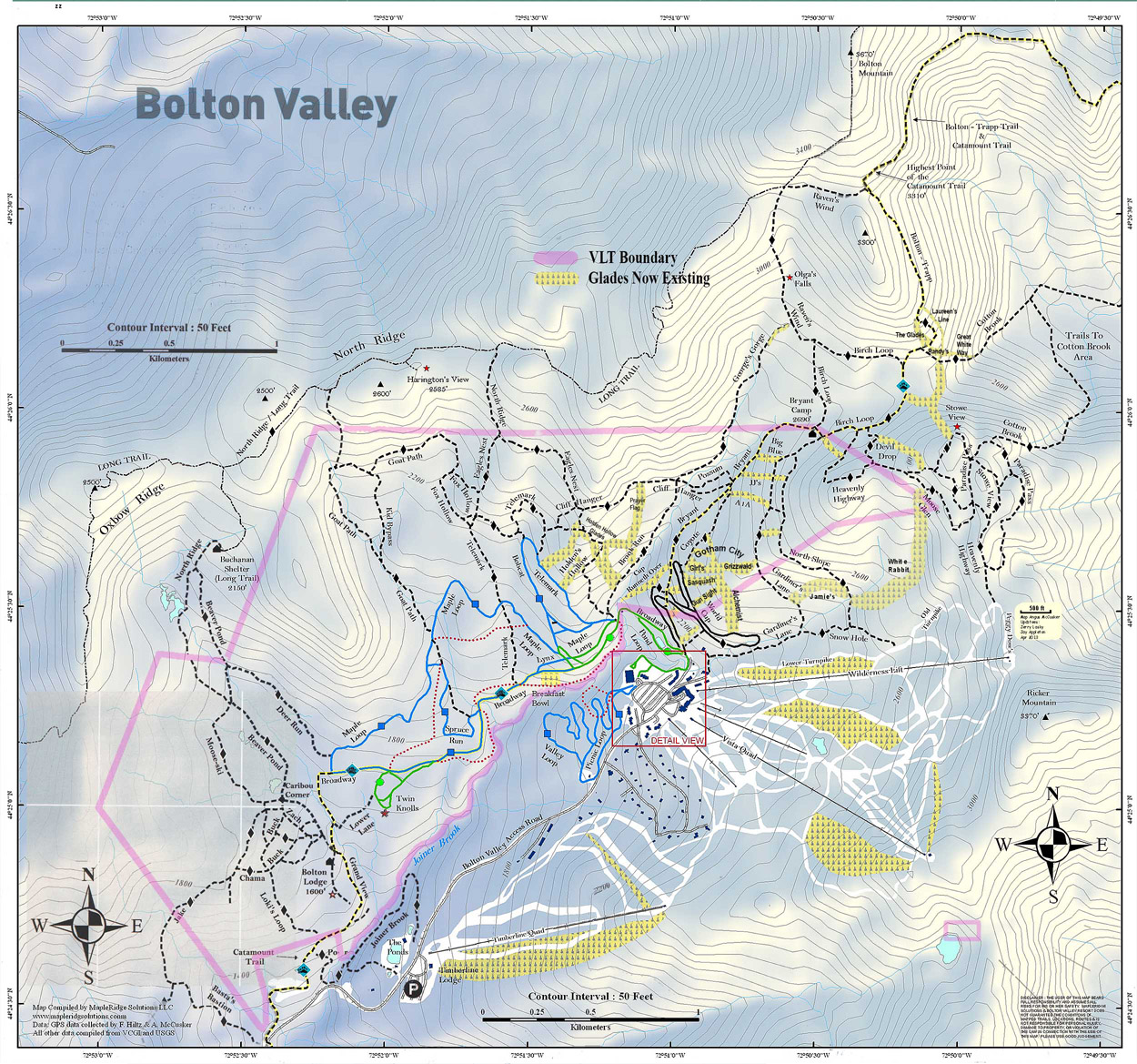
 Although the Timberline Quad isn’t running yet, I was starting at Timberline today as part of a combination sidecountry and lift-served tour that I’d planned. The resort had picked up 4-6” of snow yesterday from Winter Storm Fortis, and an additional 4-5” the previous day from a weak cold front, but I didn’t expect that to be enough snow for a thorough resurfacing that would hold up to holiday skier traffic on all terrain. The Wilderness Lift is running though, so my plan today was to skin up from Timberline to the main mountain, catch a lift-served run through White Rabbit and Snow Hole, and then return via some Timberline skiing.
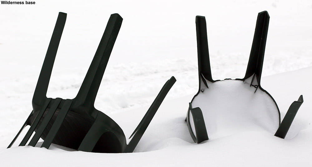
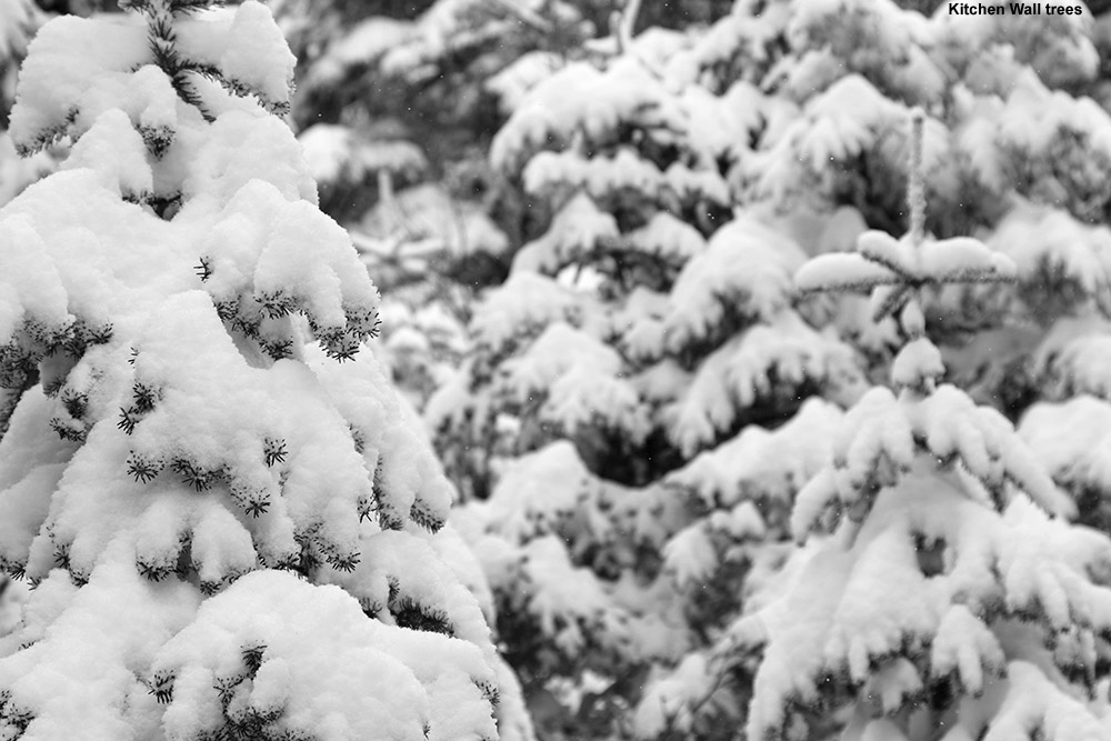
 The skin up Timberline was very pleasant, and I saw a few skiers and riders skiing the trails to make their way back to their vehicles at the Timberline Base. I could see why Timberline isn’t open for lift-served skiing yet though – exposed areas were really windswept and wouldn’t be able to support lift-served levels of skier traffic. Sheltered areas like most of Spell Binder, Brandywine, and Tattle Tale looked really nice though with all the new powder, and I suspected I’d find some great turns at the end of my tour. When I reached the main base I found that there were plenty of visitors, but fortunately lift queues were almost nonexistent. There was generally light snow coming down, with some hefty wind at times that was enough to cause a short stoppage of the Wilderness Lift when I was on it. By the time I reached the top of Wilderness it was definitely cold – it had to be in the teens F, and feeling much lower than that with that wind.
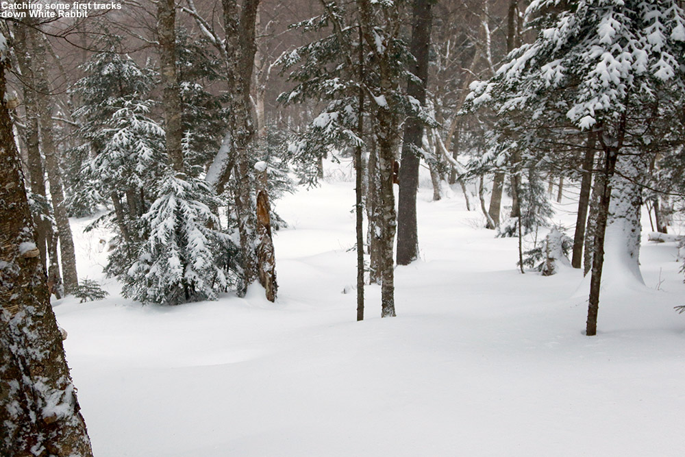
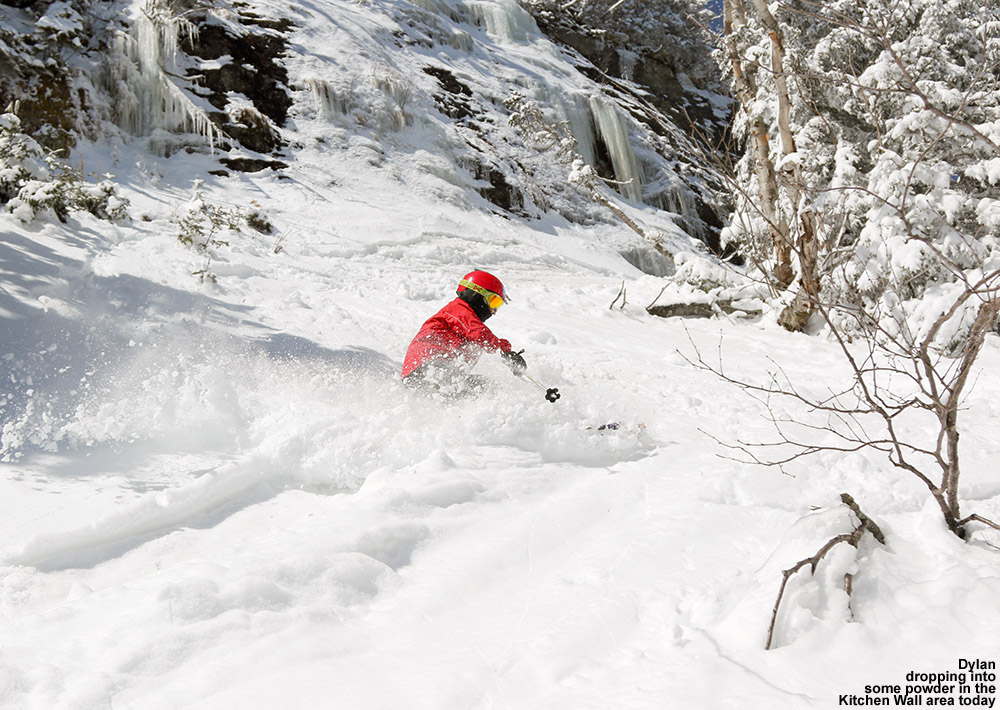
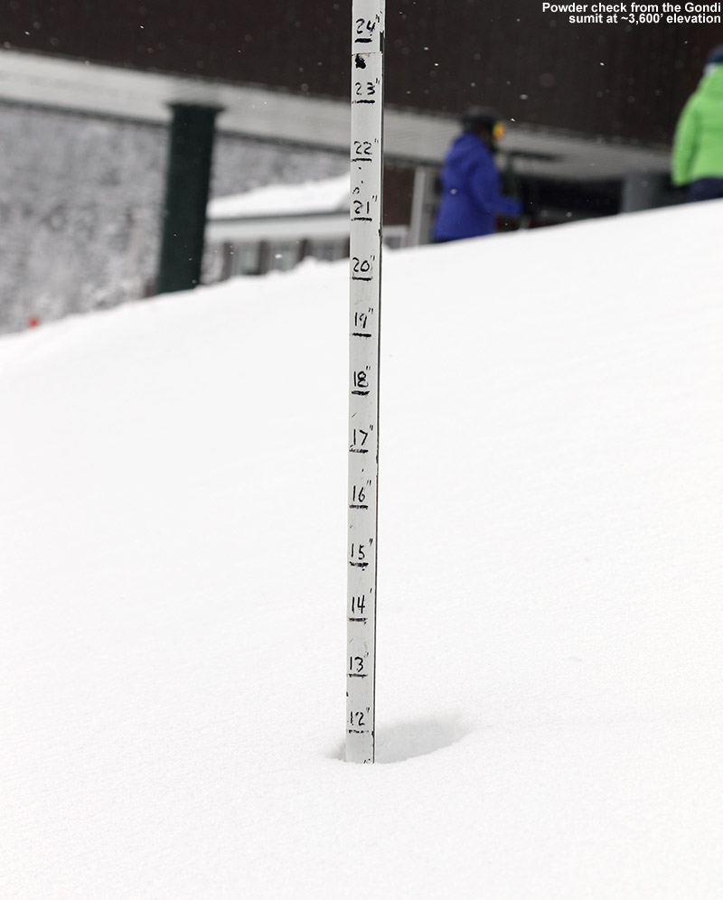
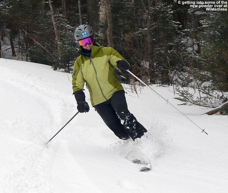
“I caught first tracks down White Rabbit, which was in great shape. The base is really deep up there, with another 5 to 10 inches of powder atop the older layers.”
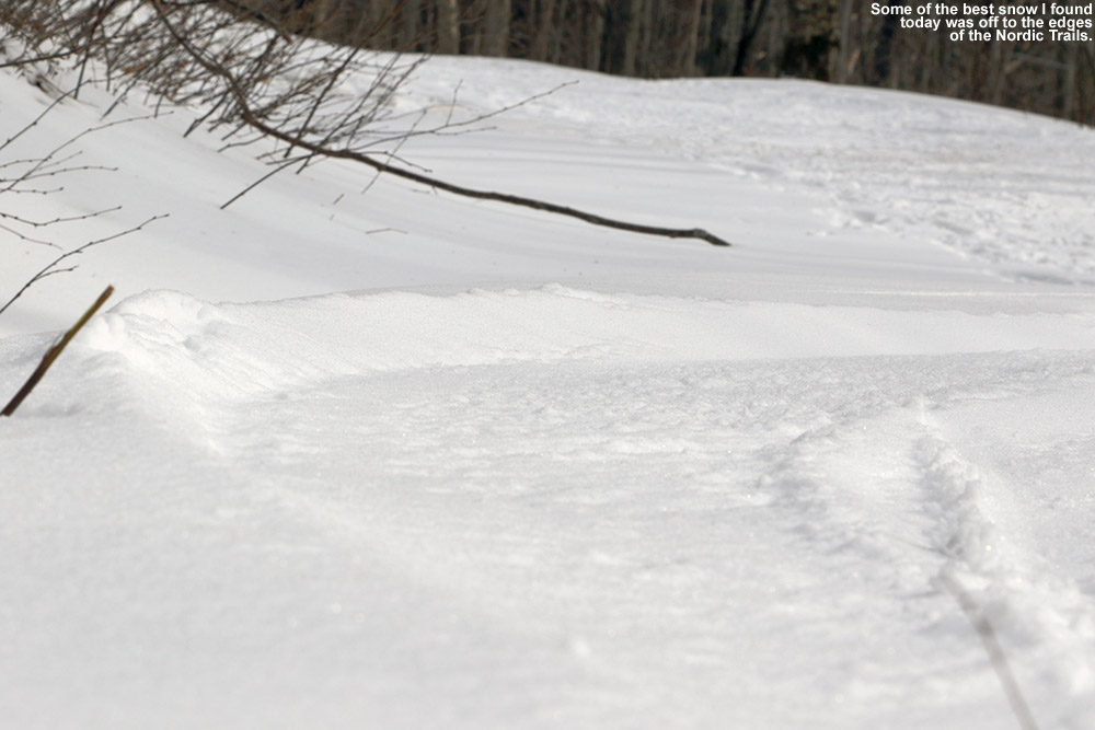
I caught first tracks down White Rabbit, which was in great shape. The base is really deep up there, with another 5 to 10 inches of powder atop the older layers. Snow Hole had seen a good deal of traffic, but there were still plenty of routes available with powder, and the traffic actually helped to compact the snow at the water crossings. Lower Turnpike was its usual smooth self and offered a nice groomed surface on which to carve some Telemark turns.
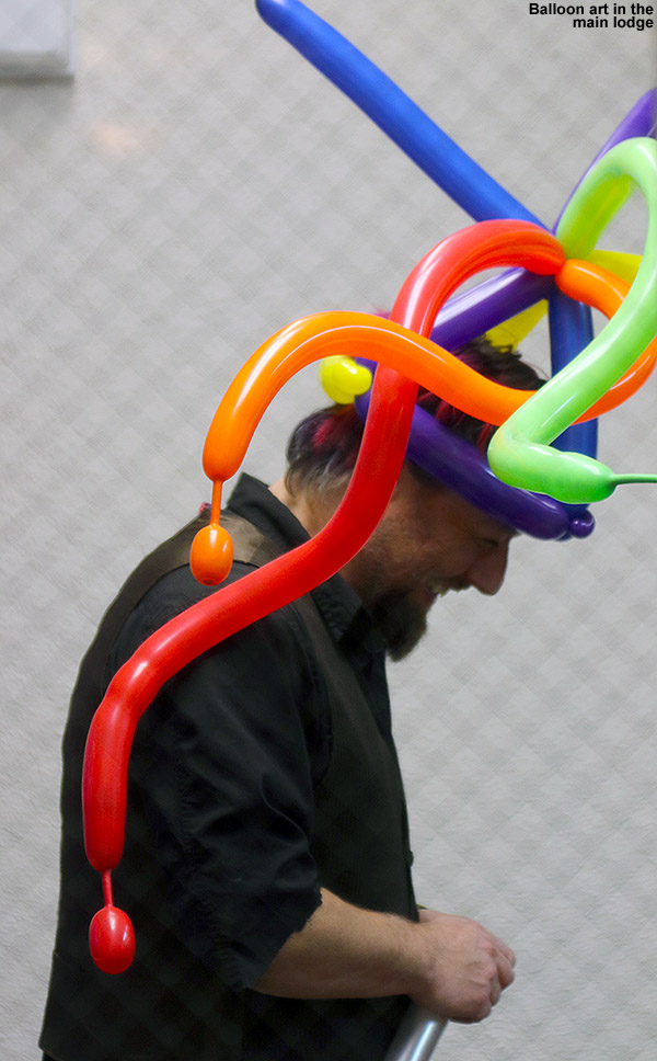 Back at the main base I had a little time to stop in for a slice at Fireside Flatbread, and it was sort of that transition time between day and night skiing with lots of visitors coming and going. One of today’s holiday week activities was balloon art, and you could see people around with their colorful balloon headgear.
“I didn’t linger too long in the lodge, but by the time I came out the snowfall had really picked up – it was falling heavily and dramatically reduced the available light as we approached dusk.”
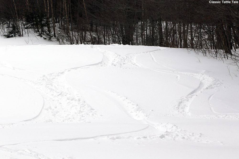
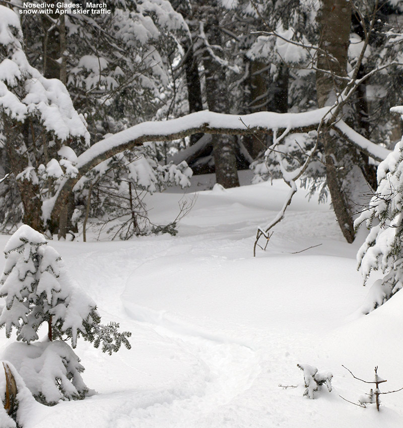
I didn’t linger too long in the lodge, but by the time I came out the snowfall had really picked up – it was falling heavily and dramatically reduced the available light as we approached dusk. I quickly headed over to the Snowflake Chair and made my way toward Timberline. I ran into a family on Timberline Lane trying to make their way back to the Bear Run condominiums where they were staying, and their younger son on a snowboard struggled to move along in the flats, and then struggled more on the ungroomed steep pitch of Timberline Run below. I headed to Lower Tattle Tale to catch some fresh tracks in the powder there (which I’d say were actually the best of the day) but waited at the intersection of Timberline Run to make sure everybody in the family was getting along OK. I actually had already pulled out my headlamp for the last bit of skiing since it had gotten so dark, and that was helpful in making sure the family found their way to their lodging.
It was a great tour today with plenty of powder, and it looks like we’ve got another storm coming into the area tomorrow. Just as I was arriving at the resort today I got an alert that we’ve got a Winter Weather Advisory starting up tomorrow at 10:00 A.M.


