


Our current winter storm began affecting the area yesterday, and it’s been hitting us with a decent stream of moisture in the form of snow and some rain/snow in the lower elevations. We picked up less than an inch of additional snow overnight at our site in the Winooski Valley, and the total precipitation I’d recorded from the event was less than ¼” as of this morning’s CoCoRaHS submission. So, I had no idea that we’d been clobbered with snow in the higher elevations until I saw PF’s post of the accumulation at the Stowe snow cam. I immediately checked the Bolton Valley Base Area Webcam, and although I couldn’t get a good sense for how much snow had fallen there, the scene was solidly white, and in general if Stowe has done well with snowfall, then Bolton Valley has seen something similar.

Snow cover was getting patchy this morning in many of the lower valleys, with marginal temperatures and a wet snow/rain mix, and that’s the way things stood at the base of the Bolton Valley Access Road when I headed up. Snow depths really started to pick up above 1,000’ though, and I found 6-9” of snow at the Timberline Base at 1,500’. Up in the Village at 2,000’, snow depths were in the 10-14” range, and there was steady moderate to heavy snowfall.
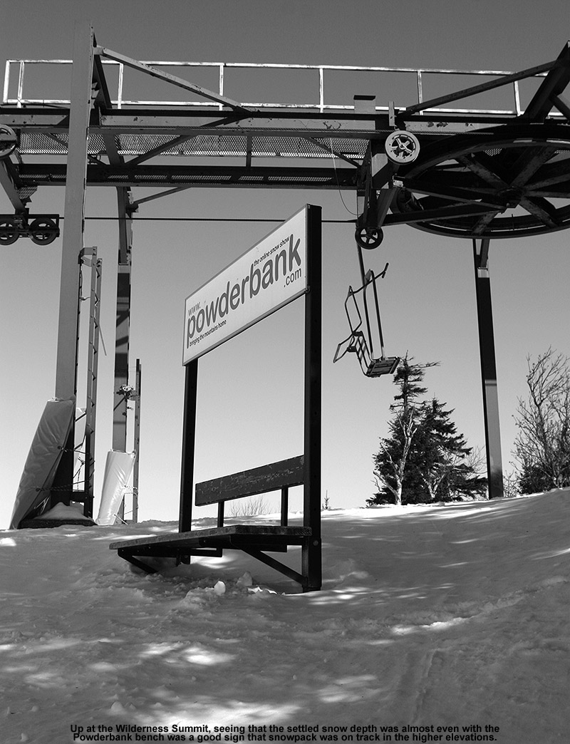
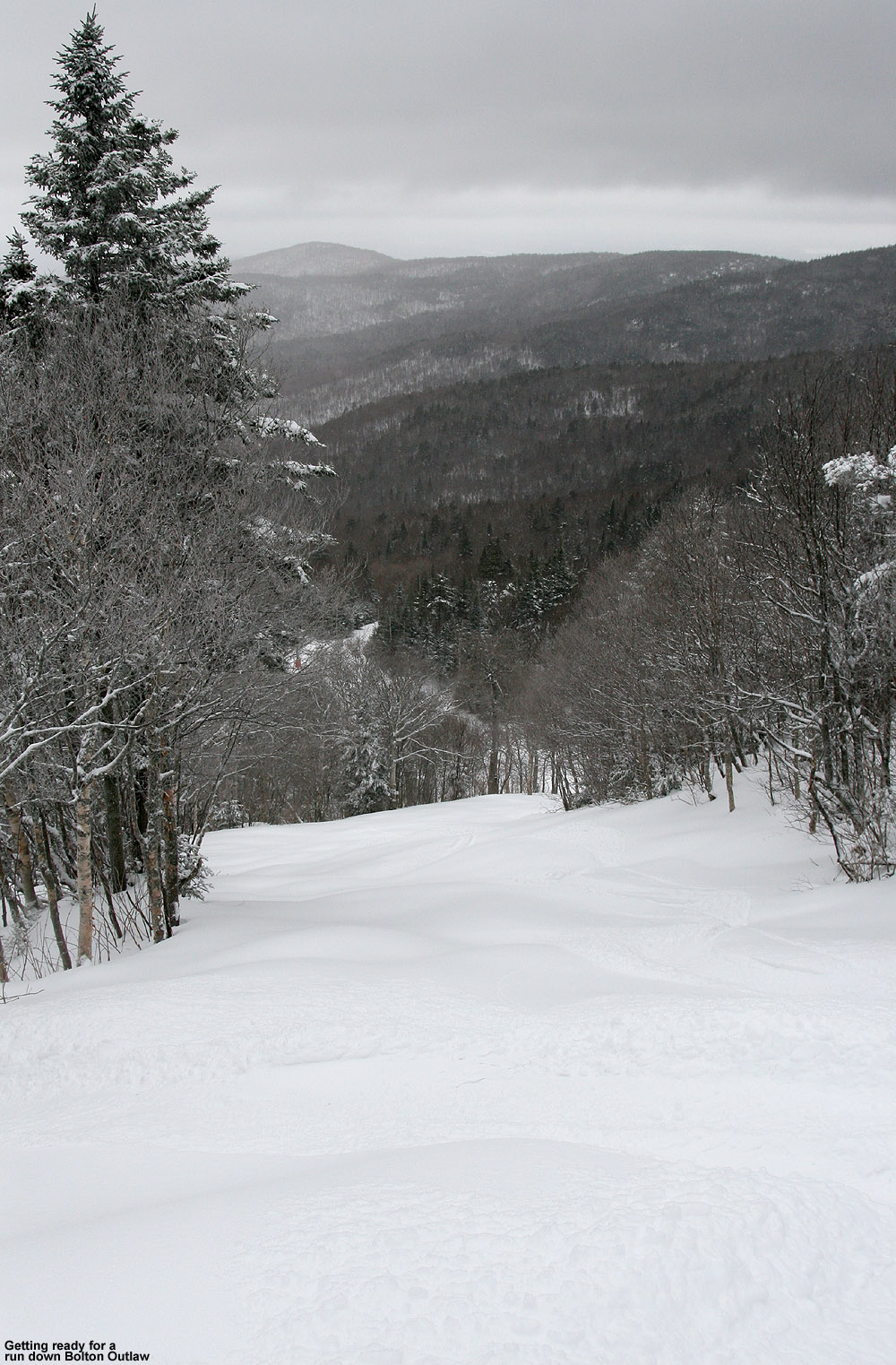
I was able to tour up to the Wilderness Summit at ~3,150’, where I measured total snow depths in the 15-24” range. That’s not all from this current system of course, but with the existing snowpack below and this fresh snow on top, it’s set up some very nice skiing. Steep terrain is certainly in play with the amount of snow out there right now, and Bolton Outlaw was in really good shape. I was on mid-fats, since I wasn’t sure of how much snow there was going to be, but if I’d known just how much was out there, and how good the coverage was in general, I would have gone with fatter skis. At least on piste as of this morning, fat skis were the way to go. The powder out there isn’t quite as dry as what fell from the November 5th storm, but the quality is quite good, and it has a lot of substance to it. With underlying base in place and this new medium to high density snow on top of it, there is absolutely some great coverage out there.
 Below is the total snow depth profile I observed this morning for various elevations in the Bolton Valley area. As usual, it’s getting harder to probe the full depth of the snow in the higher elevations where the snowpack is becoming more consolidated.
340’: T-2””
500’: 1-2”
1,000’: 2-4”
1,500’: 6-9”
2,000’: 10-14”
2,500’: 12-15”
3,000’: 15-24”
It should be interesting to see where the snowpack depth comes in with the next update from the Mt. Mansfield Stake. This system looks like it should continue to deliver snow right through the end of the week, with 8-14” of additional snow shown in the forecasts. And, temperatures are expected to cool a bit and bring snow levels back down to the lower valleys, so if the snow density drops it could set up some excellent right-side-up powder conditions.


