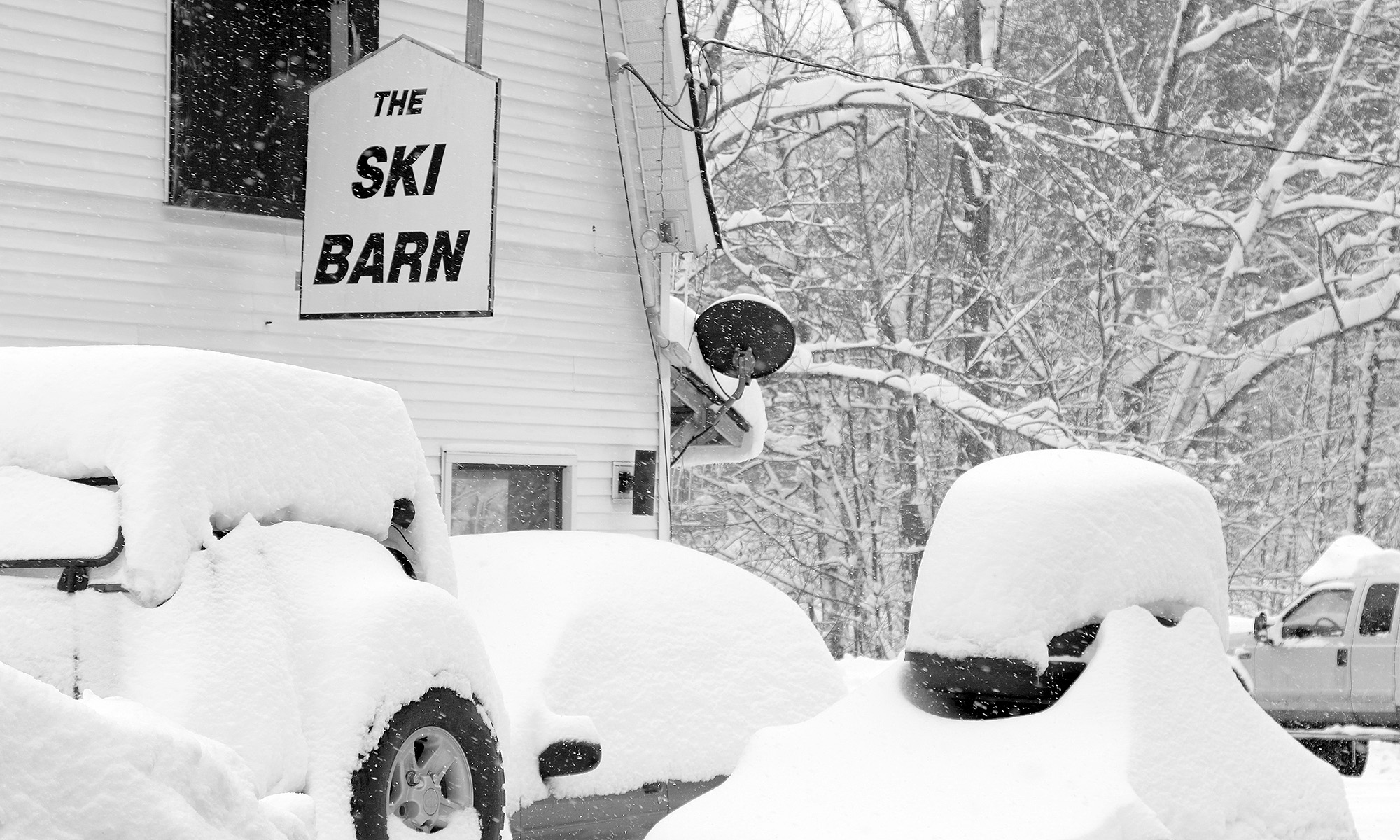
The back side of this most recent storm cycle seemed to show some promising potential for upslope snow in the Northern Greens, so this morning I made a quick survey of the snow reports from the resorts along the northern spine to see how things had worked out. With the Jay Peak snow report indicating 4 to 7 inches of new snow, and bwt’s measurement of 5.5 inches at 1,900’ from his place at Jay Peak, things were looking good there. Bolton, Smugg’s, and Stowe were reporting totals in the 2 to 4-inch range, so the Jay Peak area really seemed to be a cut above the other resorts. Temperatures rose above freezing in some areas during the middle of the storm though, so maximizing that resurfacing snow/liquid equivalent could make a substantial difference in the quality of the ski surfaces.
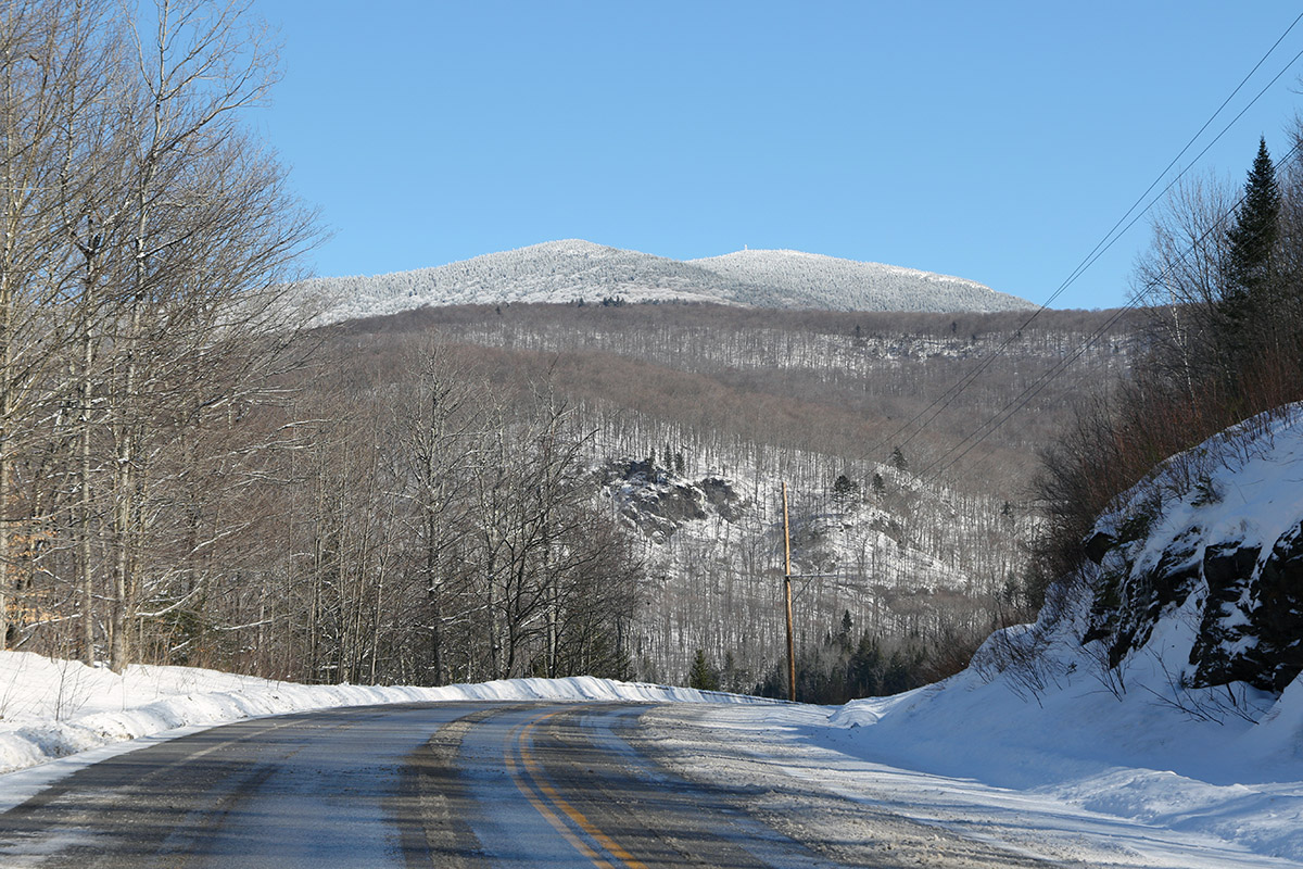
E was heading up to Morrisville to deliver some food to a colleague and do some snowshoeing, so I decided to pop up to the Jay Peak area for a bit of touring, and we coordinated our trip. New accumulations of snow were present everywhere from Waterbury on northward, but they really started to pick up once I got to Eden and points father north. You could tell that the storm had hit harder up there. With road maintenance and some sun, I was generally dealing with slushy accumulations on road surfaces, but those usual spots on Route 118 along Belvidere Pond and through the notch areas into Montgomery were wall-to-wall winter snow and required some extra caution.
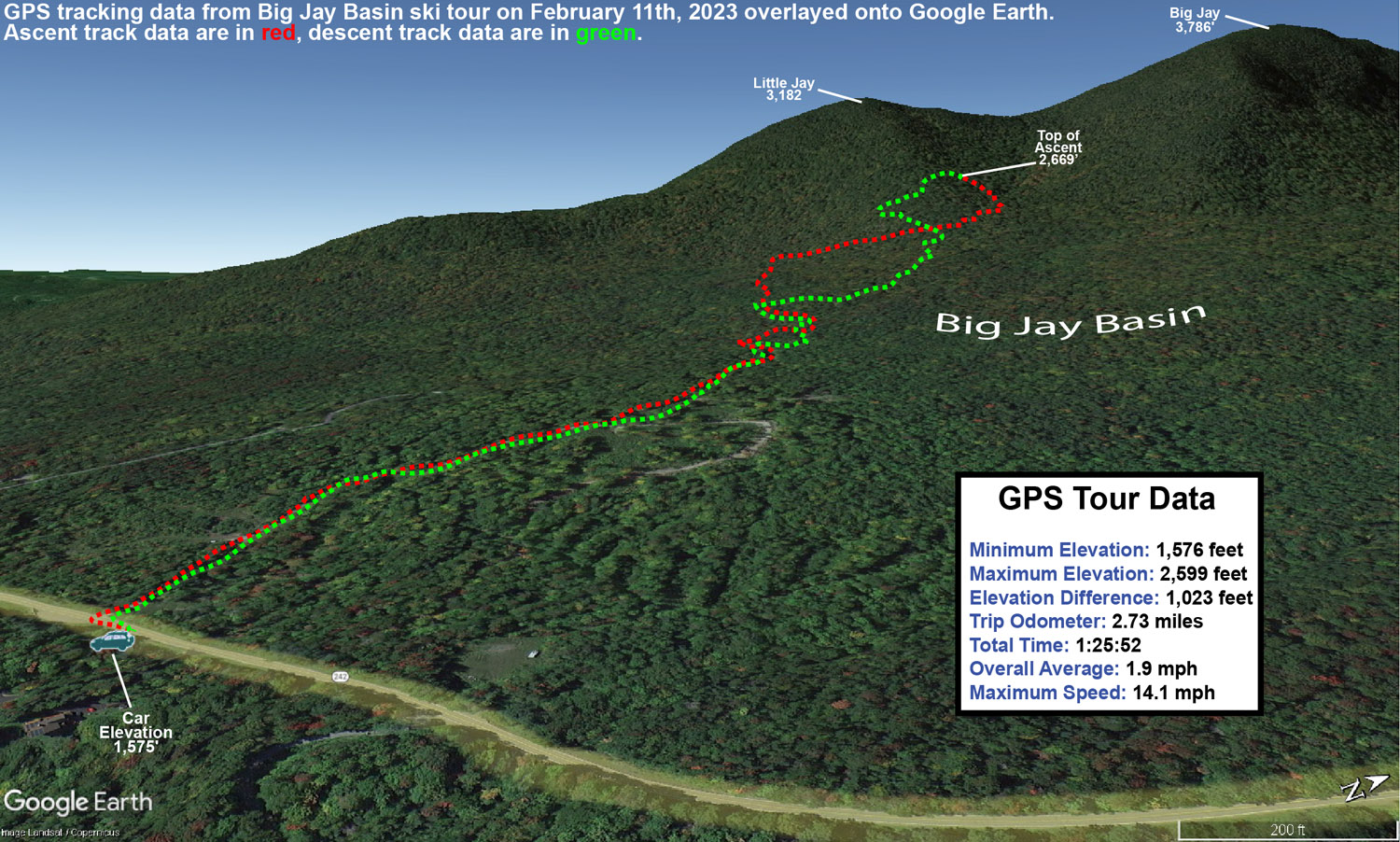
My tour was in the Big Jay Basin area that I’ve visited various times before, since it has convenient parking and some decent lower to moderate angle slopes along with its steeper lines. It also has that leeward exposure from Jay Peak, Big Jay, and Little Jay, so it absolutely reels in the snow. The past couple of times we’ve visited the basin, we’ve toured the terrain more toward the north side below Big Jay, but for this tour I decided to favor a bit more toward Little Jay to the south. I’d heard good things from some of my students about the terrain there, so as skin tracks diverged on my ascent, I generally opted for those heading more southward toward Little Jay. As I approached Little Jay, I could see that the terrain was getting steeper than I was looking for with the most recent accumulations, and slightly less pitched terrain was more prevalent off to the north, so I followed a skin track that was heading right through the terrain that looked the best for my plans. That skin track brought me into that drainage below the col between Big Jay, and Little Jay, and the lower sections there do have some nice pitches that avoid the really steep stuff. My goal was to get in a moderate tour’s worth of skiing and exercise with about 1,000’ of vertical, so with the trailhead elevation a bit shy of 1,600’, I was shooting to stop my ascent around 2,500-2,600’. Once I’d hit that level, I contoured back toward the south a bit along the side of Little Jay to get into more untouched snow, and dropped in from there.
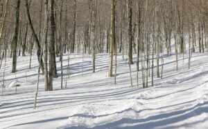
In terms of the snow quality, it far exceeded my expectations. Accumulations of new snow were very much as expected – I measured about 5 inches of new snow around 1,600’ at the trailhead, and that matched up perfectly with what the resort and bwt had reported in the morning. Accumulations probably increased by another inch about 1,000’ higher, but this didn’t appear to be one of those storms with heavy snow accumulation gains as elevation increased. What impressed me most was when I encountered at least a couple feet of bottomless powder in the drainage below the col. In that area, there were no signs that there had been any sort of significant warmth or rain. It was great to watch all the skiers and riders out there taking advantage of the great snow, and their whoops and hollers could be all over the place throughout the basin, just as you’d expect with great conditions. Aspect mattered in terms of snow quality though. The farther I wrapped around Little Jay toward southern exposure, the more I was skiing on just the new snow, and there was actually a detectable layer atop the old snowpack. Seeing this, I moved back toward the north as I descended in order to get into the best snow. I just found it surprising that it was really only southern aspects where the snowpack had consolidated, because that would represent more effects from sun vs. general warmth. Whatever the case, non-southerly aspects held some excellent bottomless powder out there.
Temperatures on the day were perfect, with mid to upper 20s F keeping the snowpack wintry. Skies were clear and sunny though, and you could tell that the mid-February sun was trying to work on that powder on southern exposures. Temperatures seemed just cold enough, and/or the air was just dry enough, to keep that from happening.
It looks like we might have a system coming through the area tomorrow night that could do something similar to what the back side of this system did, so we’ll see if that adds another few inches to freshen things up again.
